85 photo spots
Every place with coordinates, the best time of day and the post in which we were there. Tap a spot to see it on the map.
85 spots
-
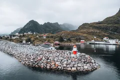
Norway · 67.8796° N 12.9840° E
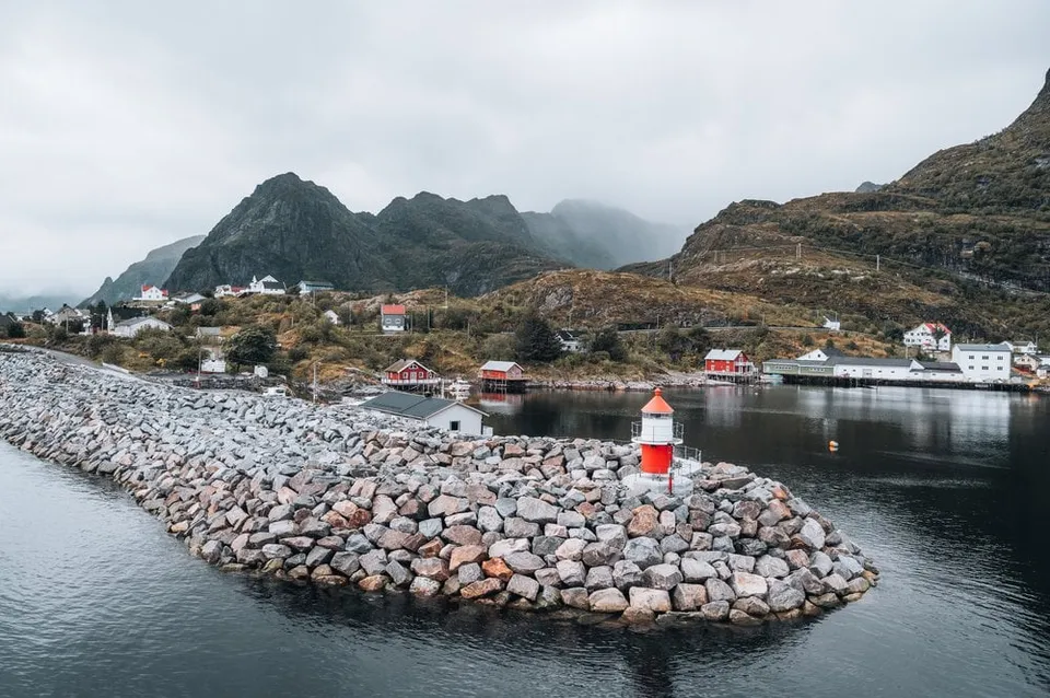
This is where the Lofoten and the E10 both end. Beyond the hamlet there is only open sea, with cliffs as a viewpoint.
-
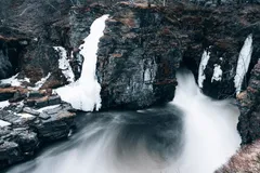
Sweden · 68.3554° N 18.7667° E
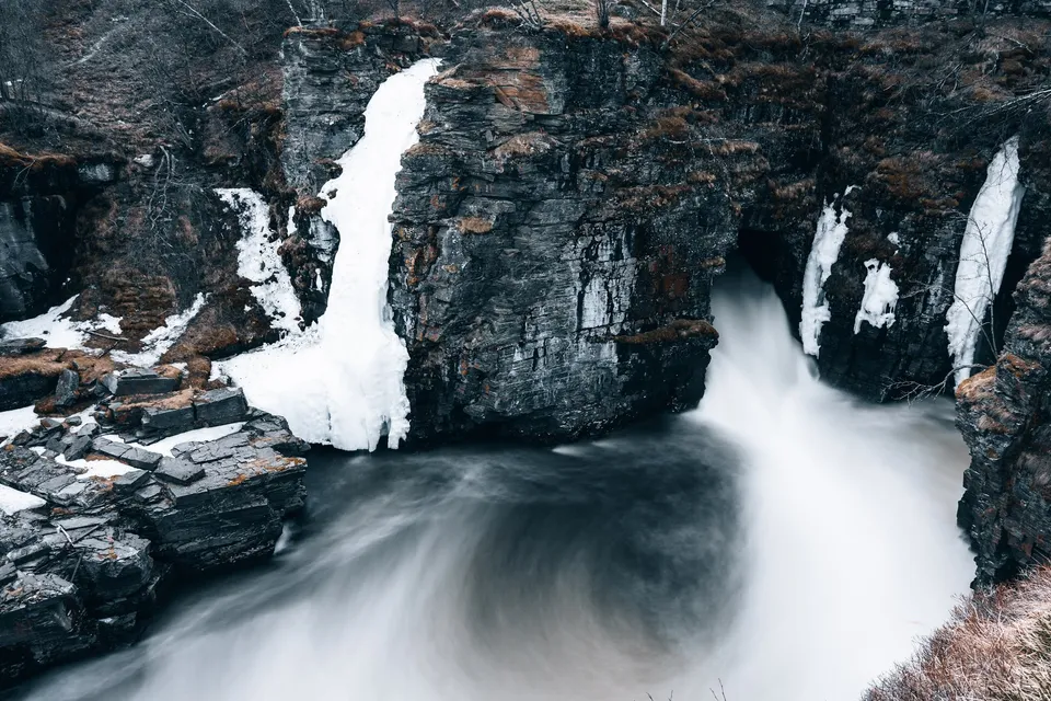
One of the shorter hikes in Abisko National Park takes us to a roaring waterfall between dark rock walls. At the end of May there is still ice there.
-
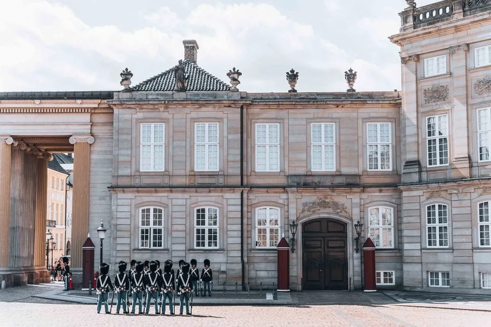
Denmark · 55.6840° N 12.5933° E
Amalienborg with Christian VII's Palace, also known as Moltke's Palace. Here we watch the changing of the guard, a ceremony that draws a lot of spectators.
- Best time
- For the changing of the guard
- Coordinates
- 55.6840° N 12.5933° E
-
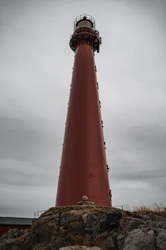
Norway · 69.3238° N 16.1157° E
The 40 metre red cast iron lighthouse has stood at the northern tip of Andøya since 1859. The whale museum and the whale safari harbour are right next to it.
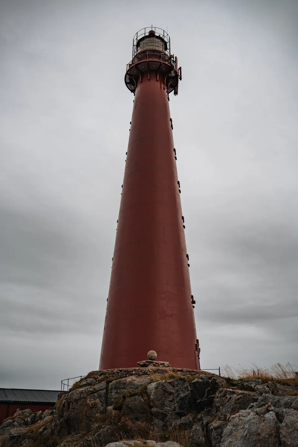
- Best time
- All year · whale museum right next door
- Coordinates
- 69.3238° N 16.1157° E
-

Hungary · 47.5008° N 19.0539° E
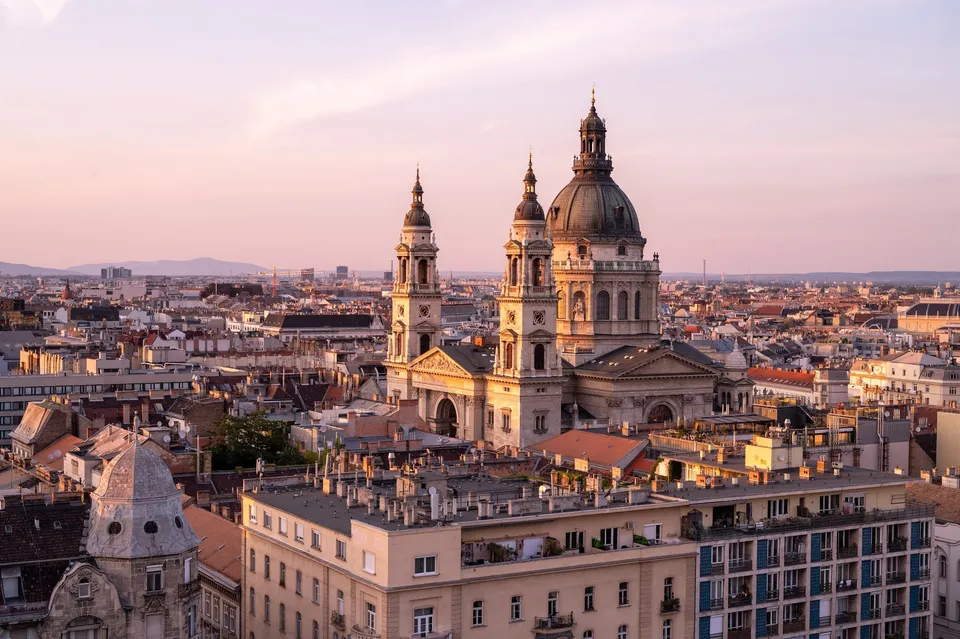
At sunset we ride up on the Ferris wheel and see the basilica above rooftops lit orange. Afterwards we eat on the square beside it.
-

Sweden · 59.3608° N 11.8383° E
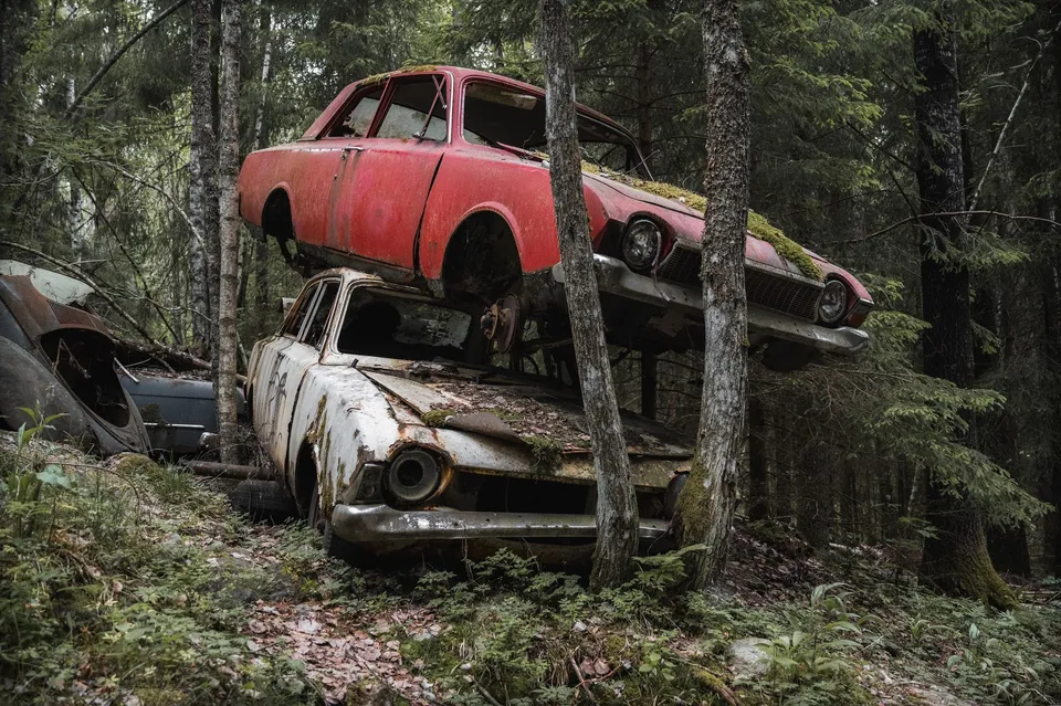
An abandoned car cemetery in the forest near the Norwegian border. An estimated more than 1000 wrecks from the 1950s to the 1970s, some piled on top of each other.
-
Austria · 48.1934° N 16.3805° E
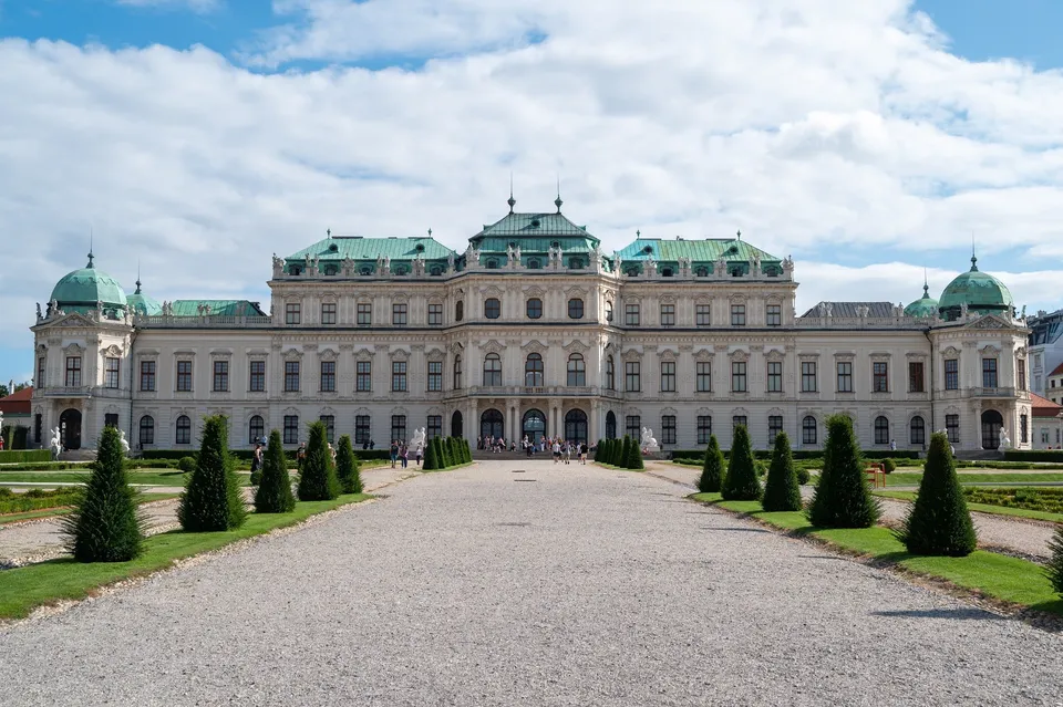
The palace was built for Prince Eugene in the 18th century. The garden with its water cascade and twelve fountains separates the upper and lower parts.
-
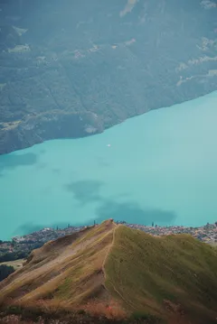
Switzerland · 46.7871° N 8.0466° E
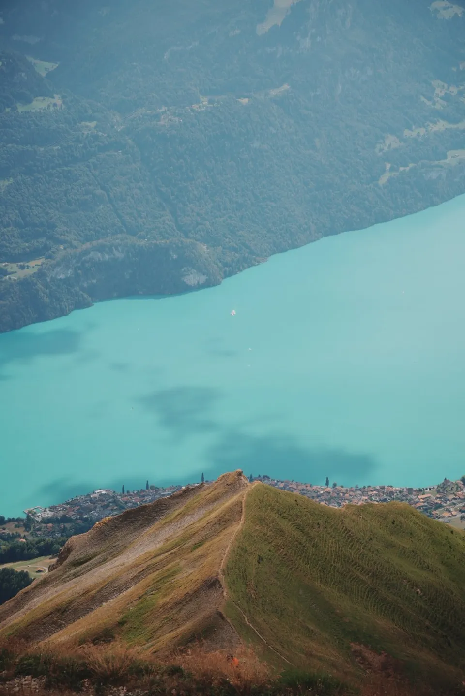
From the ridge the view drops far down onto Lake Brienz, lying in an almost unreal turquoise. On foot from Sörenberg or by gondola, with a café at the top.
- Best time
- Late morning, before the clouds build · June to October
- Coordinates
- 46.7871° N 8.0466° E
-
-
Indonesia · 8.9142° S 116.3191° E
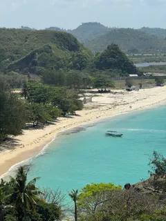
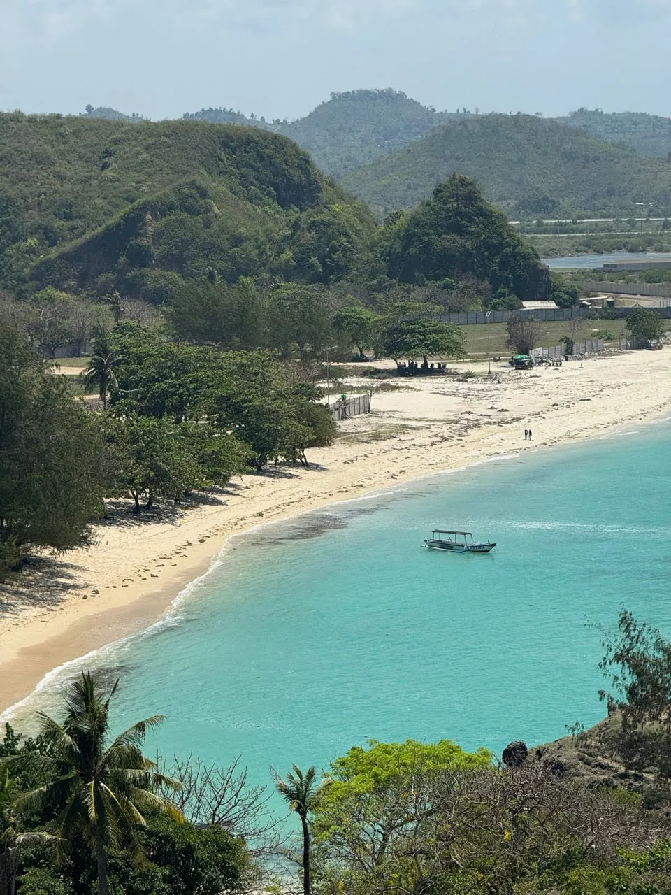
A grassy hill on the coast near Kuta Lombok, looking out over empty beaches and turquoise water. A few long-tailed macaques enjoy the spot too.
-
Norway · 67.9785° N 12.9640° E
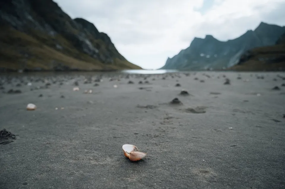
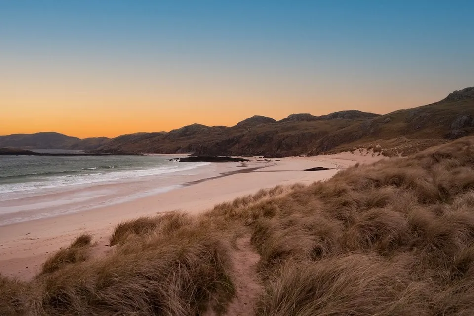
A vast, wild sandy beach at the end of the Reinefjord. The ferry from Reine plus a short walk delivers near-total solitude.
- Best time
- Midnight sun · June to July
- Coordinates
- 67.9785° N 12.9640° E
-
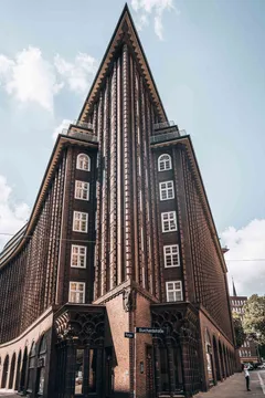
Germany · 53.5481° N 10.0017° E
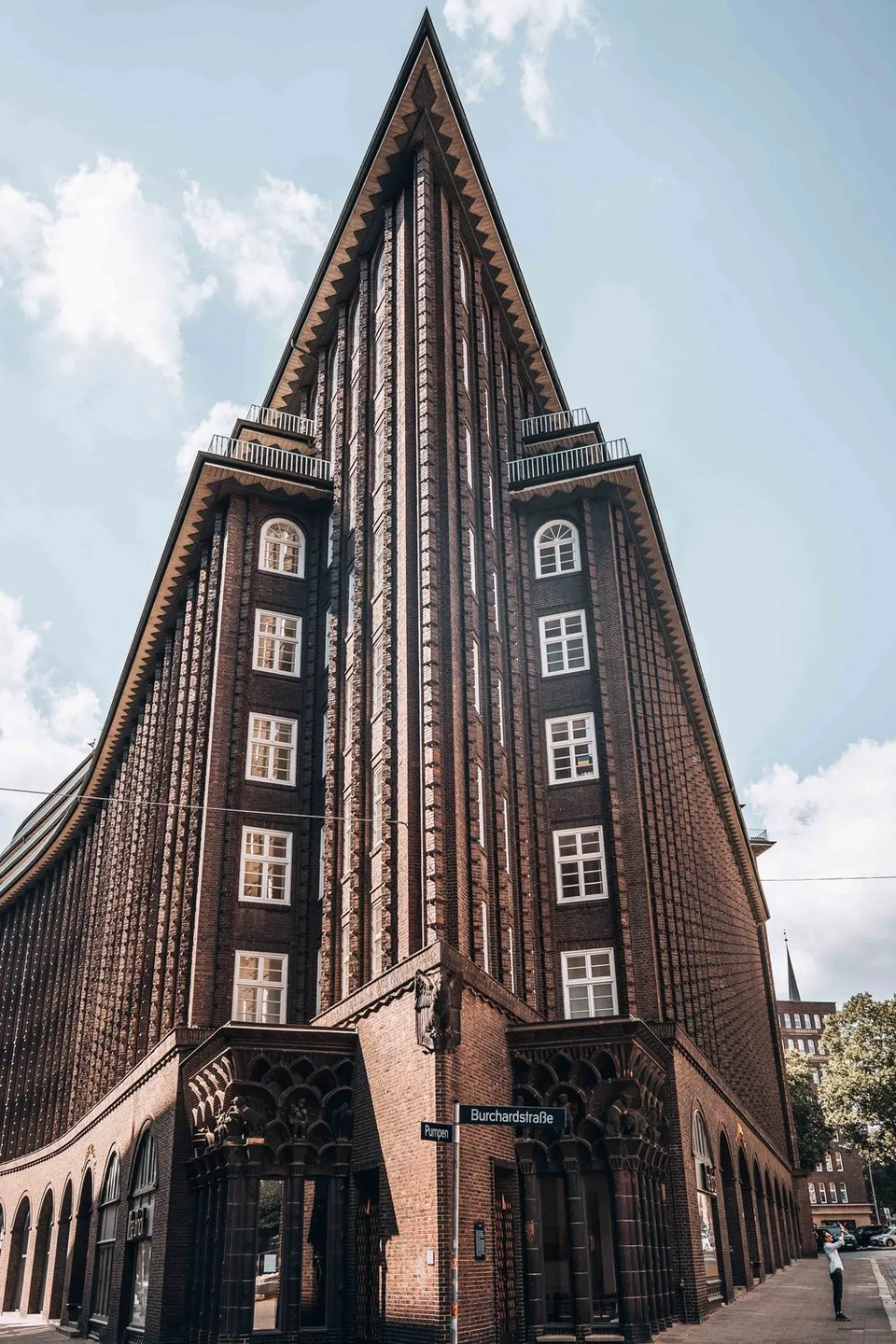
Named after Chile, where Henry B. Sloman, who commissioned it, made his fortune in saltpetre. Its corner is pointed and yet rounded.
-
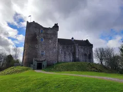
Scotland · 56.1852° N 4.0503° W
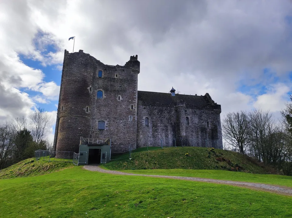
The castle is known from Game of Thrones and Monty Python. Here we picture ourselves back in some of the film scenes shot there.
-
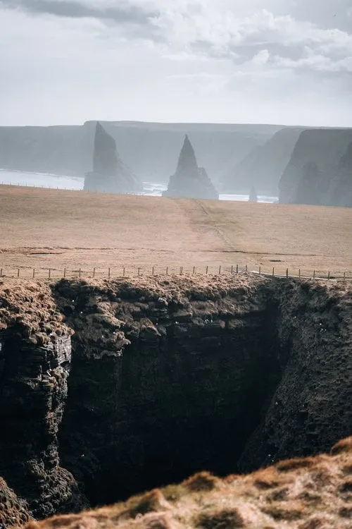
Scotland · 58.6320° N 3.0300° W
Jagged sea stacks in the surf at Scotland's northeastern tip. The short clifftop path from the lighthouse keeps opening new angles.
- Best time
- Afternoon · seabirds in early summer
- Coordinates
- 58.6320° N 3.0300° W
-
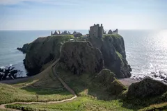
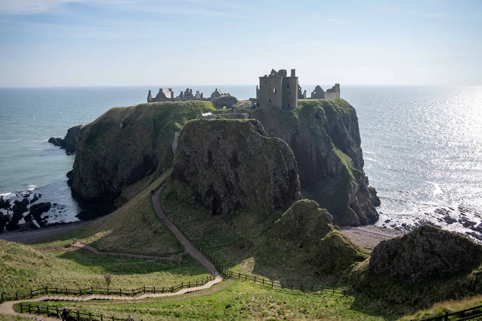
Scotland · 56.9459° N 2.1972° W
A castle ruin on a headland above the North Sea, with sheer cliffs almost all the way round. Best seen from the meadow to the south.
- Best time
- Golden hour · drone
- Coordinates
- 56.9459° N 2.1972° W
-
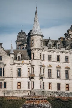
Scotland · 57.9822° N 3.9453° W
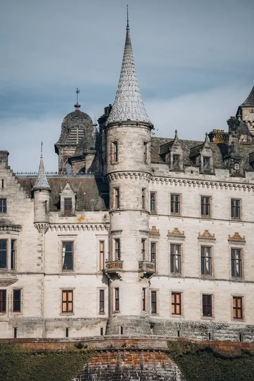
A fairytale castle with pointed turrets on the east coast, surrounded by formal gardens. A subject even from outside.
-
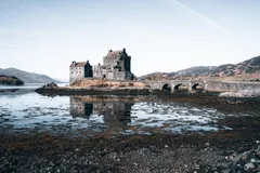
Scotland · 57.2739° N 5.5164° W
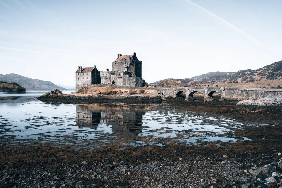
Scotland's most photographed castle on its little tidal island. At low tide the castle and stone bridge reflect in the wet flats.
- Best time
- Blue hour · low tide
- Coordinates
- 57.2739° N 5.5164° W
-
Switzerland · 46.7906° N 8.0595° E
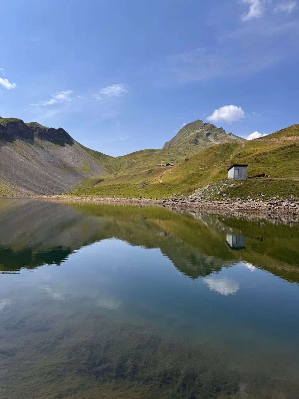
A mountain lake in a bowl below the Brienzer Rothorn, two basins meeting at a narrow spit. In the morning it lies still enough to mirror the whole cirque. You can swim in it, the water is cold.
- Best time
- Late morning · July to September
- Coordinates
- 46.7906° N 8.0595° E
-
Germany · 53.5413° N 9.9841° E
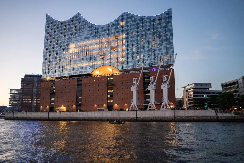
The glass wave on top of the old quayside warehouse. From our evening boat tour through the harbour we see it lit up at dusk.
- Best time
- Blue hour · all year
- Coordinates
- 53.5413° N 9.9841° E
-
Hungary · 47.5022° N 19.0347° E
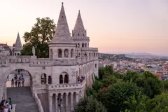
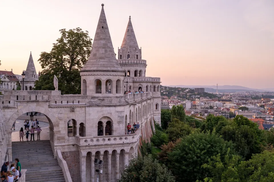
From the arcades above Buda the view takes in the whole Pest side. At sunrise the sun stands just above Parliament, and it is still quiet.
-
Norway · 68.0803° N 13.2003° E
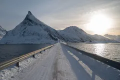
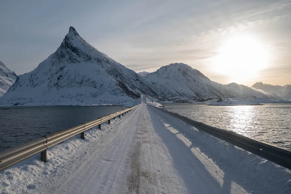
Two sweeping bridges link the small islands at Fredvang. In winter, snowsnakes drift across the asphalt.
-
Sweden · 63.8250° N 20.2492° E
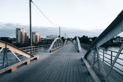
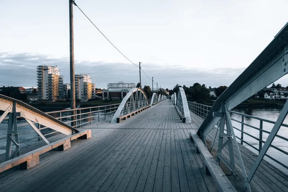
The old steel arch bridge across the Ume river. From its wooden deck you catch the river panorama and skyline in soft evening light.
- Best time
- Evening light · summer
- Coordinates
- 63.8250° N 20.2492° E
-
Sweden · 59.3251° N 18.0711° E
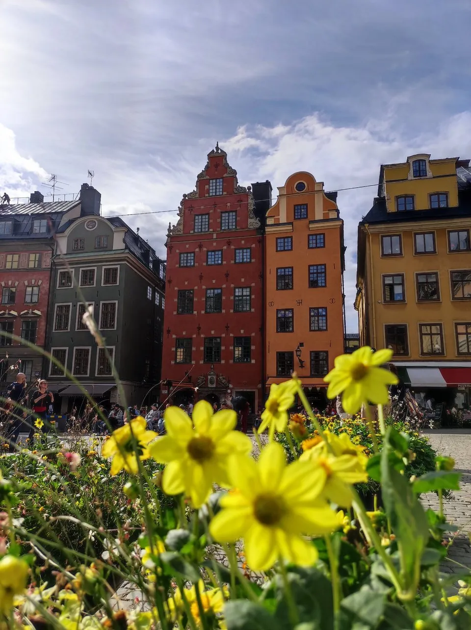
Stockholm's oldest square with its iconic red and yellow gabled houses, most beautiful early in the morning before the old town wakes up.
- Best time
- Early morning · all year
- Coordinates
- 59.3251° N 18.0711° E
-
Sweden · 65.6461° N 22.0286° E
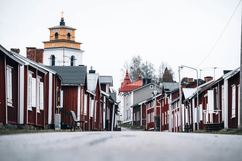
The original site of Luleå, with red wooden houses and a massive 15th century church. We only see the open-air museum from outside.
-
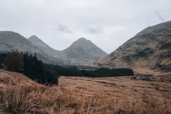
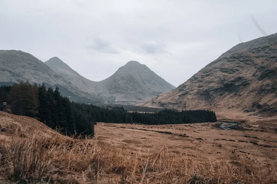
Scotland · 56.6296° N 4.9214° W
The lonely glen from "Skyfall". A single-track road winds 20 km between mountain cones and the river down to Loch Etive.
- Best time
- Evening light · autumn colours in October
- Coordinates
- 56.6296° N 4.9214° W
-
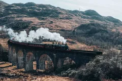
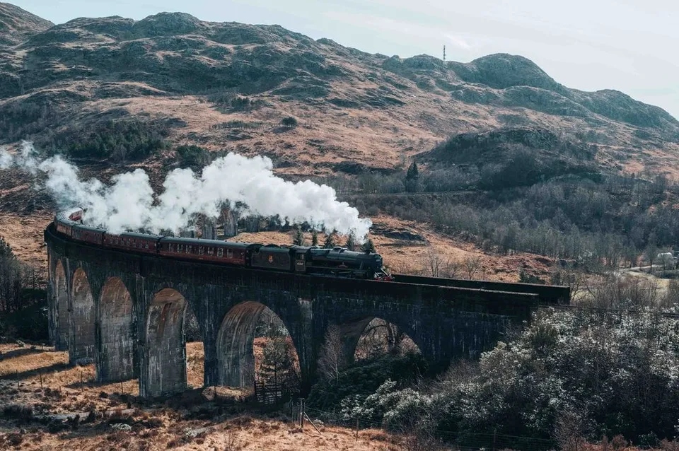
Scotland · 56.8763° N 5.4312° W
The famous railway viaduct from the Harry Potter films. From the viewpoint hill the Jacobite steam train rolls straight through your frame.
- Best time
- Late morning for the steam train · May to October
- Coordinates
- 56.8763° N 5.4312° W
-
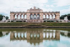
Austria · 48.1781° N 16.3083° E
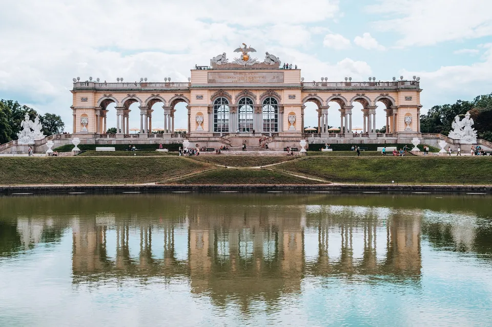
We walk through the huge palace gardens of Schönbrunn up to the Gloriette. The imperial family dined together in the hall with the large windows.
-
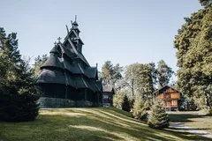
Norway · 59.9080° N 10.6833° E
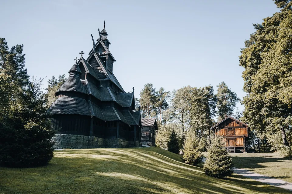
The 13th century stave church stands in the Norsk Folkemuseum, a 10 minute walk from the ferry pier. It has been moved several times.
-
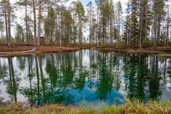
Sweden · 65.7815° N 19.4922° E
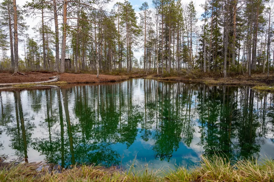
Boardwalks lead through the bog to a light blue, crystal clear spring-fed pool. On its bed, fresh water wells up from many springs.
-
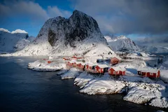
Norway · 67.9458° N 13.1330° E
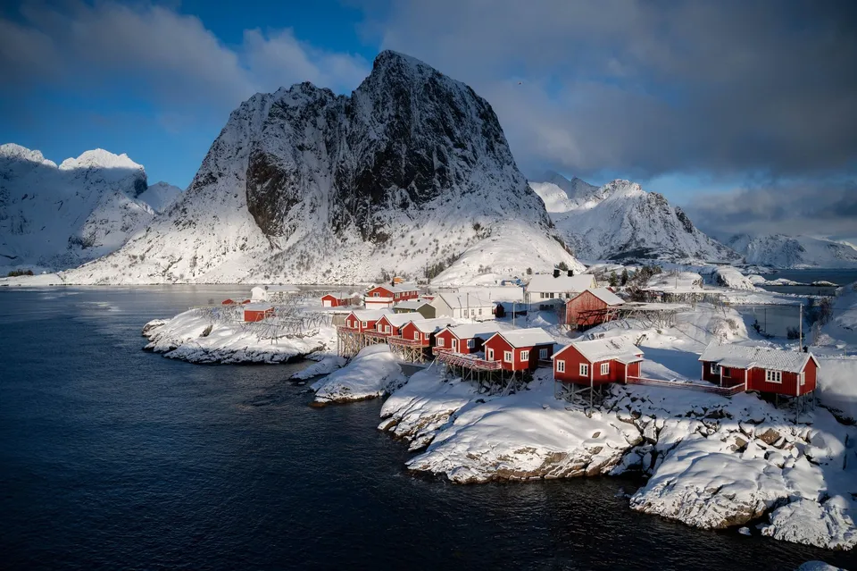
The Lofoten photo hotspot: Red rorbuer on rocks below Festhæltinden. Shot from the bridge on the E10, right at the roadside.
- Best time
- Blue hour · northern lights September to March
- Coordinates
- 67.9458° N 13.1330° E
-
Sweden · 63.2481° N 12.4414° E
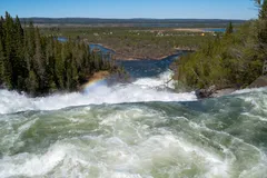
A suspension bridge crosses the raging river and sways noticeably in the middle. A path beyond it takes us to a viewpoint over the upper part of the falls.
-
Sweden · 61.2684° N 14.7499° E
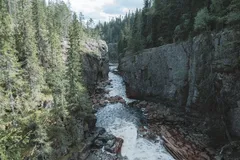
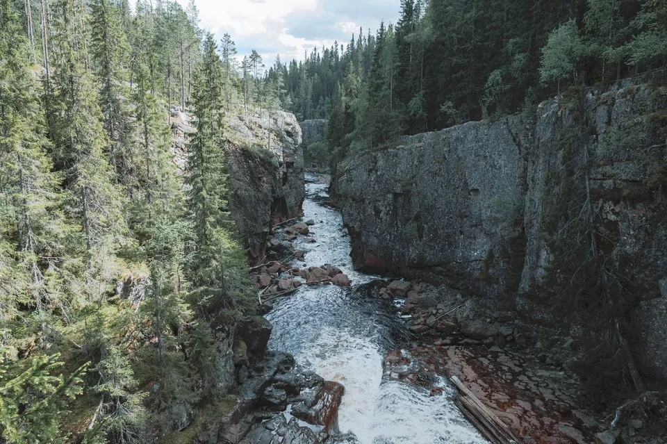
After 11 km of gravel road, a path leads down through birch forest into a reddish-brown gorge with a powerful waterfall. A suspension bridge crosses it.
-
Norway · 68.1480° N 14.2007° E
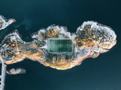
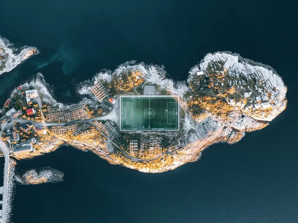
Norway's most famous football pitch, wedged between rock and sea. Only really readable from the air.
-
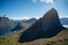
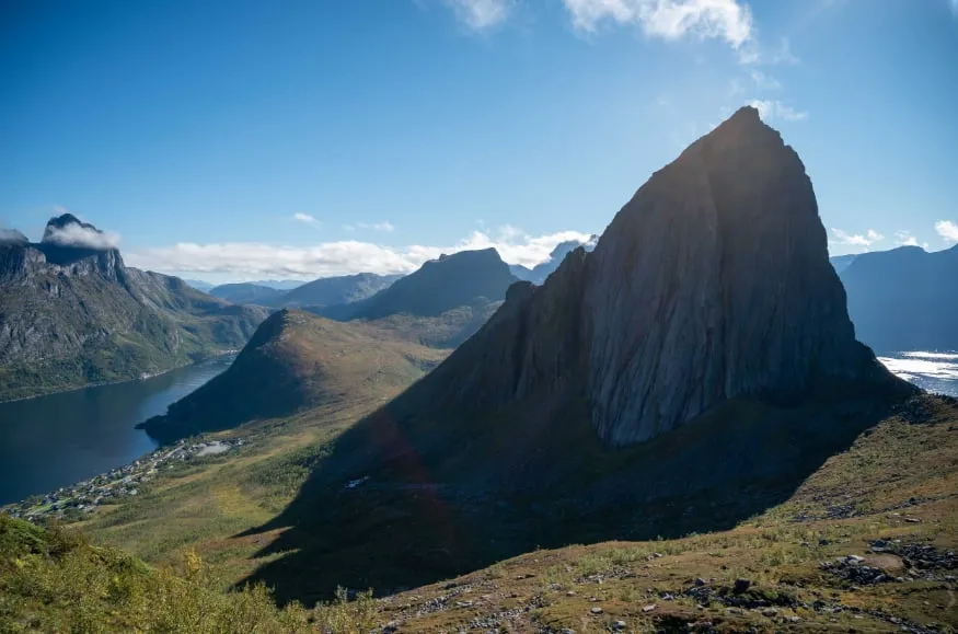
Norway · 69.5145° N 17.5851° E
The view from Hesten across to Segla's sheer face is THE shot on Senja, about a 1.5-hour climb from Fjordgård.
- Best time
- Evening sun · June to September
- Coordinates
- 69.5145° N 17.5851° E
-
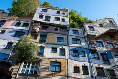
Austria · 48.2072° N 16.3942° E
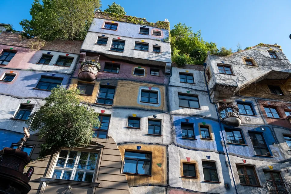
A colourful facade with irregularly placed windows, painted panels and trees on the roof. We walk here from the city centre.
-
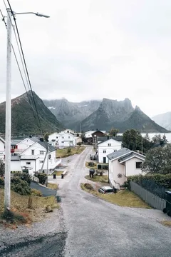
Norway · 69.5422° N 17.6625° E
An entire fishing village crammed onto a tiny island in the Øyfjord. Behind it, Senja's mountains plunge straight into the sea.
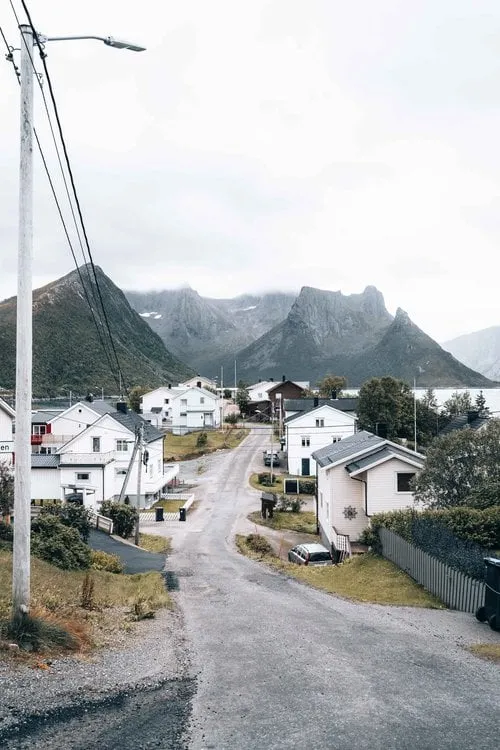
- Best time
- Morning light · all year
- Coordinates
- 69.5422° N 17.6625° E
-
Switzerland · 46.5005° N 8.0533° E
Where four streams of firn merge into the Great Aletsch Glacier. The Konkordia hut clings 550 steps above the ice, with a view all the way down the glacier.
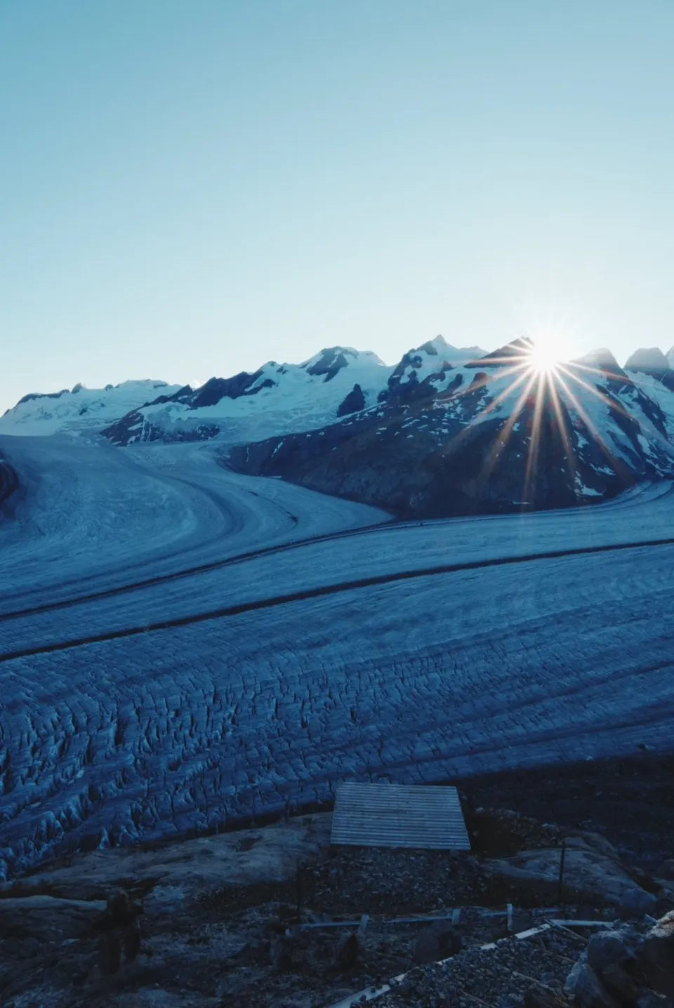
- Best time
- Sunrise · July to September
- Coordinates
- 46.5005° N 8.0533° E
-
Norway · 68.0773° N 13.0964° E
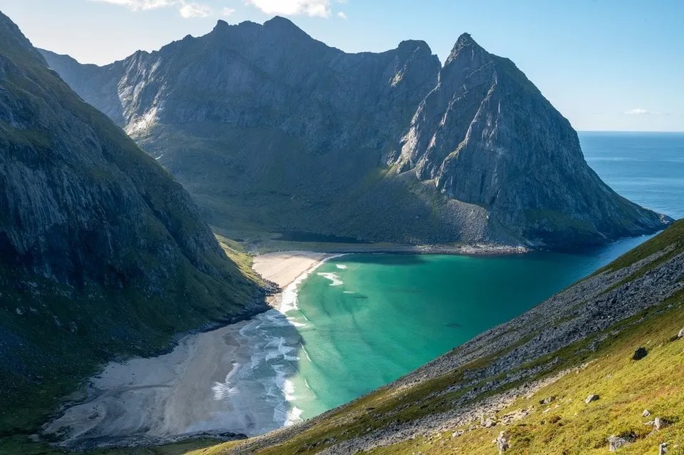
A turquoise bay walled in by steep cliffs, reachable only on foot. The finest view opens up on the climb towards Ryten.
- Best time
- Afternoon · June to September
- Coordinates
- 68.0773° N 13.0964° E
-
Sweden · 58.6750° N 13.2200° E
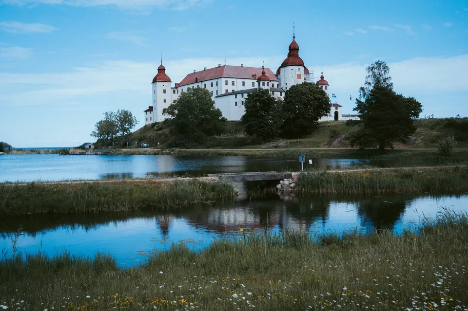
A 17th century baroque castle on Lake Vänern, with flowering meadows and a harbour all around. We picnic at the end of a jetty looking at the castle.
-
Switzerland · 46.3981° N 10.1262° E
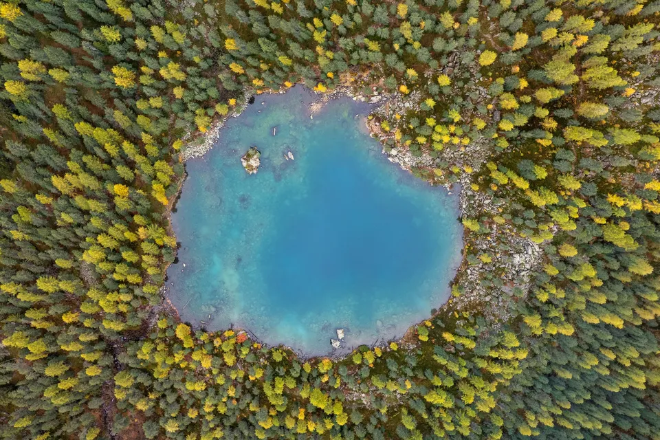
A round, turquoise lake in the larch and stone pine forest of the Val da Camp, reached only on foot. In October it mirrors yellow larches and snowy peaks.
- Best time
- October, when the larches are yellow · around midday for the turquoise water
- Coordinates
- 46.3981° N 10.1262° E
-
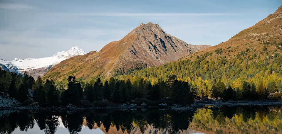
Switzerland · 46.4043° N 10.1392° E
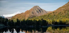
A mountain lake at 2159 metres at the top of the Val da Camp. Its calm water mirrors the rock pyramid of the Corn da Mürasciola, with the Bernina group behind.
- Best time
- Morning, when the lake is calm · October with yellow larches
- Coordinates
- 46.4043° N 10.1392° E
-
Indonesia · 8.3720° S 115.6371° E
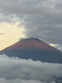
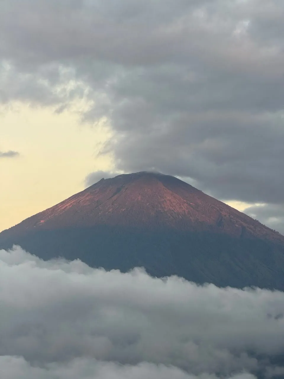
A viewpoint looking out at Mount Agung, Bali's highest mountain and an active volcano. At 6 am the first light turns the flank of the cone reddish.
-
Switzerland · 46.5817° N 9.7861° E
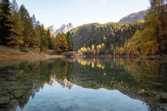
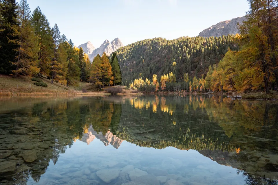
A mountain lake at 1918 metres, almost 130 metres above Preda station. In October the lake mirrors yellow larches and the double summit of the Dschimels.
- Best time
- Mid-October, when the larches are yellow
- Coordinates
- 46.5817° N 9.7861° E
-
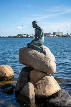
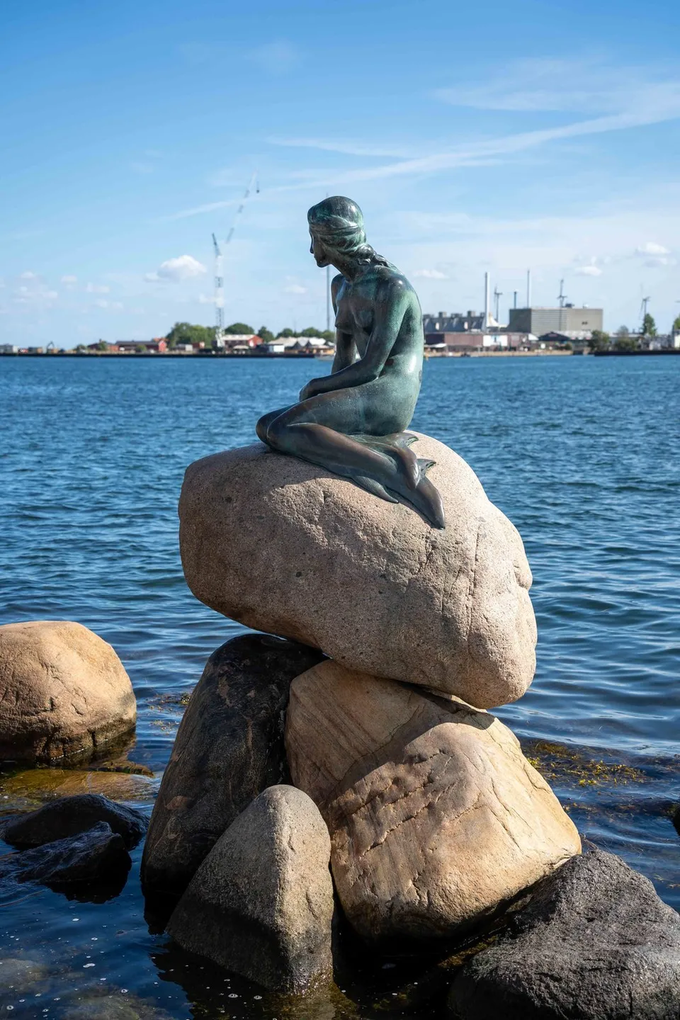
Denmark · 55.6929° N 12.5993° E
The Little Mermaid on the waterfront by Kastellet. A popular subject for photos, with a crowd of photographers pressing around her.
- Best time
- Early morning, otherwise crowds
- Coordinates
- 55.6929° N 12.5993° E
-
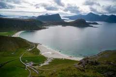
Norway · 68.2037° N 13.5202° E
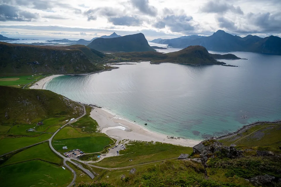
A steep climb with some scrambling from the free car park at Hauklandstranda. At the top we see far across the sea, mountains and several beaches.
-
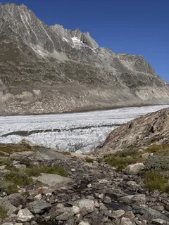
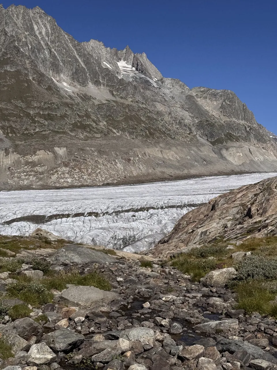
Switzerland · 46.4408° N 8.0920° E
On the eastern edge of the glacier, where the ice meets the first grasses and meltwater streams. End point of the glacier crossing towards Fiescheralp.
- Best time
- Late morning · July to September
- Coordinates
- 46.4408° N 8.0920° E
-
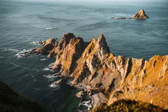
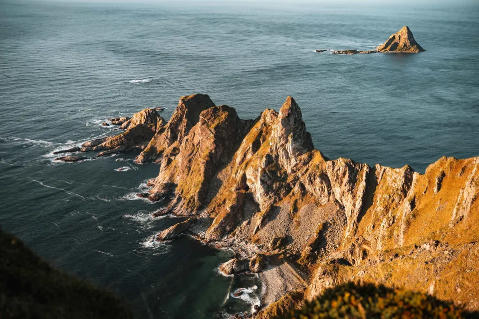
Norway · 69.2425° N 15.8652° E
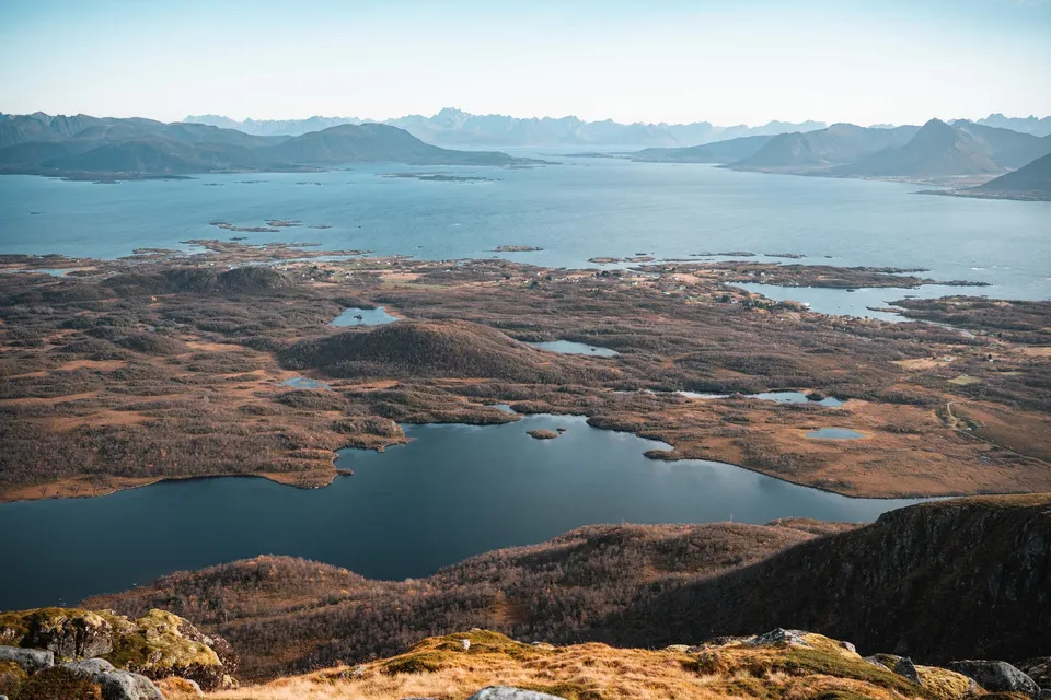
From the 408-metre summit of Måtind you look down on jagged rock ridges, the beach of Bleik and the triangular bird island of Bleiksøya. Pathless in places.
- Best time
- Evenings in clear weather, for the sunset
- Coordinates
- 69.2425° N 15.8652° E
-
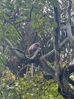
Indonesia · 8.5188° S 115.2584° E
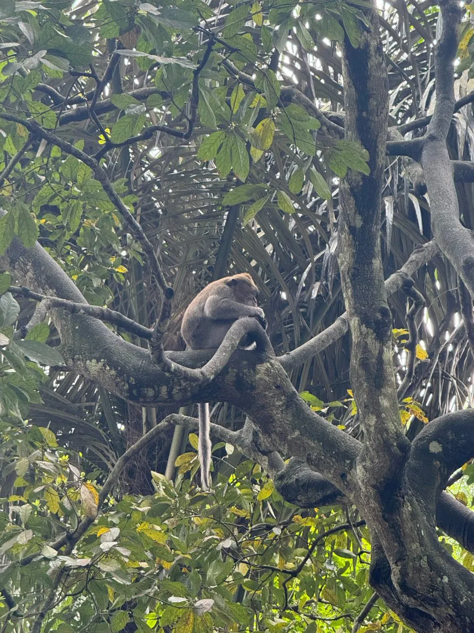
A stretch of forest with Hindu temples in Ubud, home to long-tailed macaques. One sits in the fork of a large tree with its tail hanging down.
-
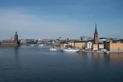
Sweden · 59.3207° N 18.0603° E
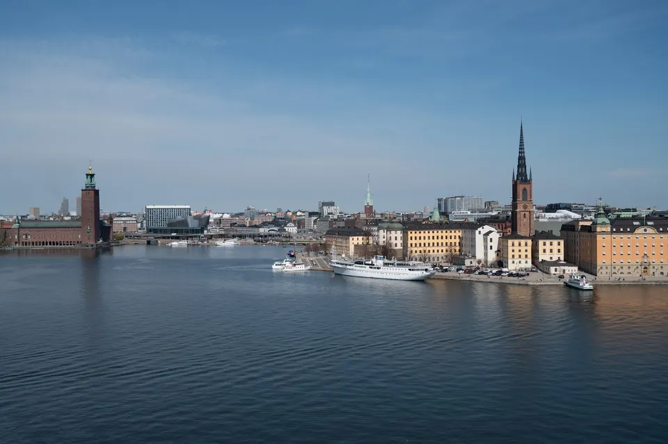
From the path in the west of Södermalm we have a beautiful view of the city centre, with Stadshuset and its tower on the left.
-
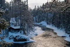
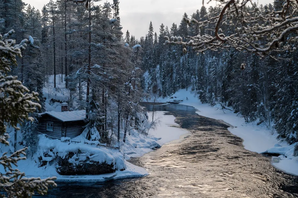
Finland · 66.2606° N 29.4169° E
An old mill and suspension bridge above the roaring Kitkajoki rapids. In winter, deep-snowed forest frames the open channel.
- Best time
- Winter mornings · autumn colours in September
- Coordinates
- 66.2606° N 29.4169° E
-
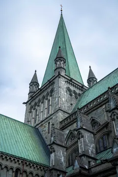
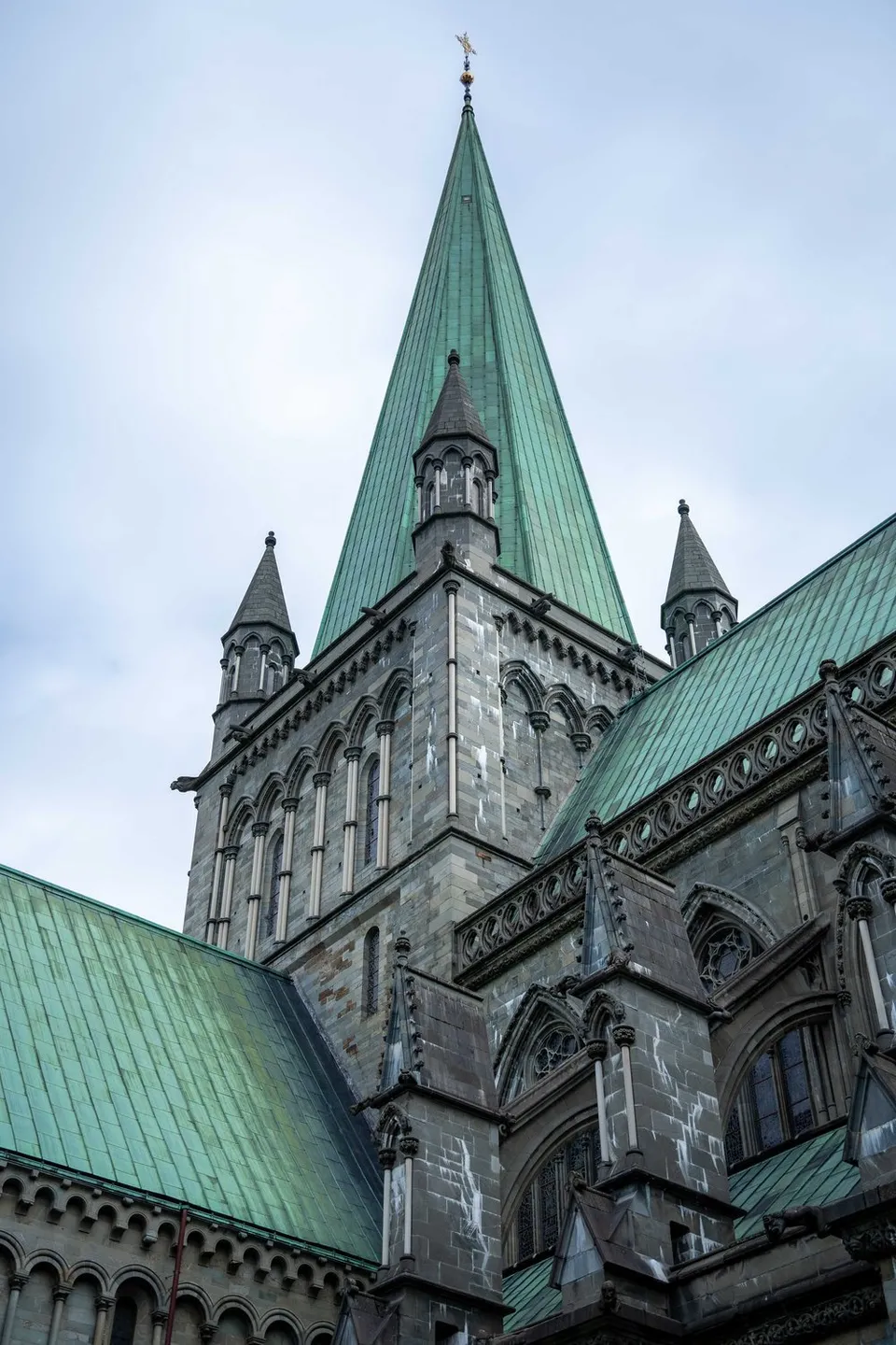
Norway · 63.4269° N 10.3969° E
The impressive 11th-century stone cathedral. Its gothic spires and green copper roofs look especially monumental under overcast skies.
- Best time
- Daytime · overcast skies
- Coordinates
- 63.4269° N 10.3969° E
-
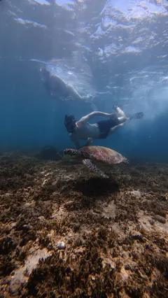
Indonesia · 8.4342° S 116.0451° E
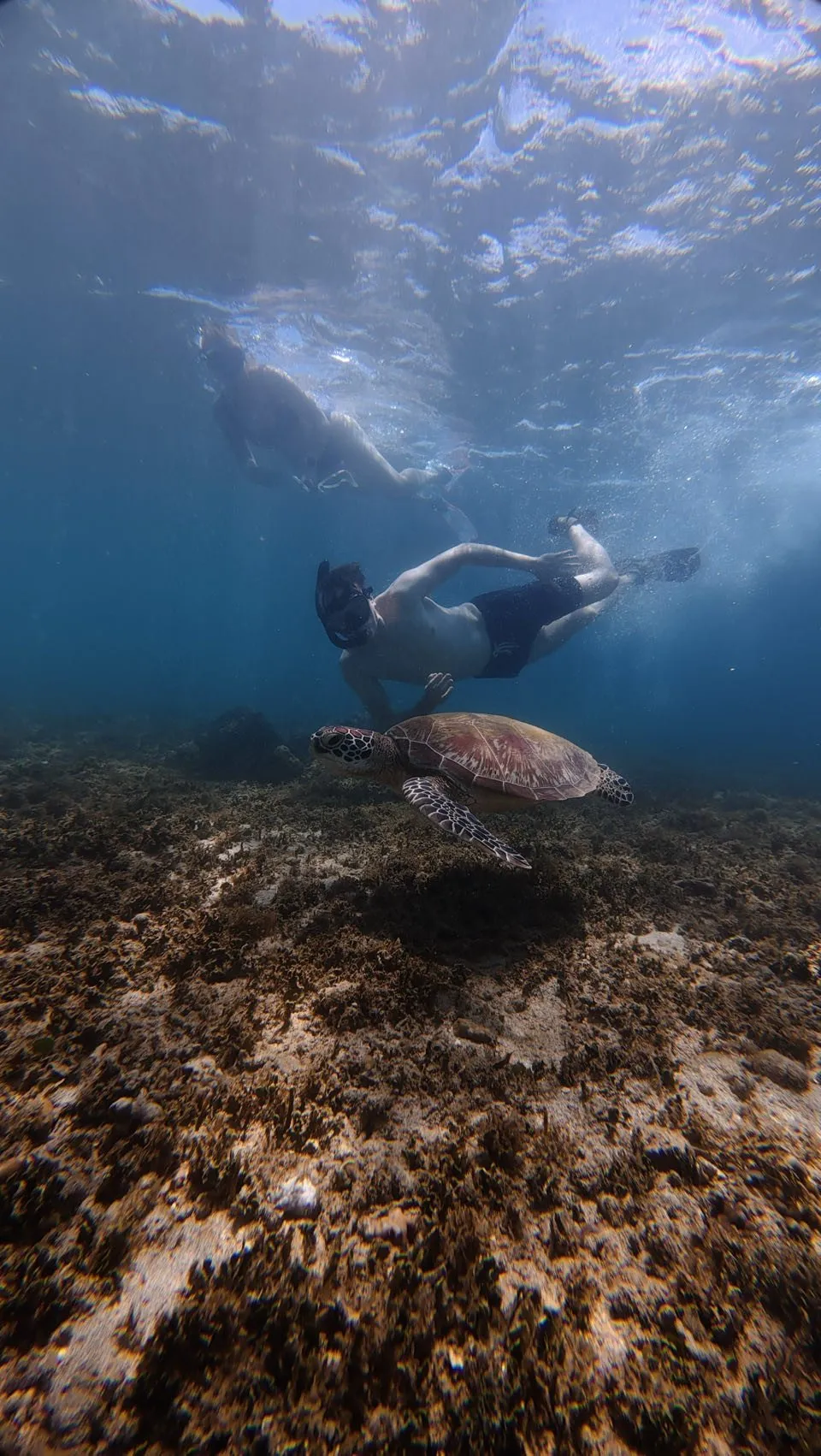
At the turtle sanctuary we see baby turtles. Afterwards we snorkel in the sea and meet six sea turtles under water.
-
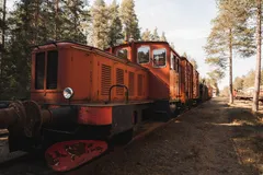
Sweden · 65.5966° N 22.0683° E
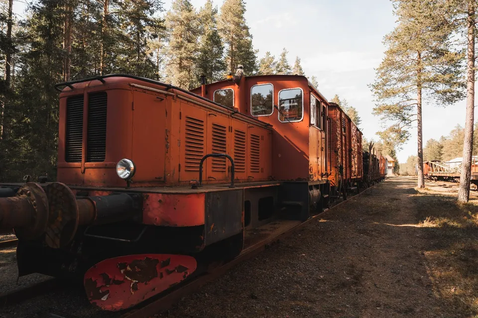
Retired trains stand right in the forest here, and access to them is free. For us the old, rusty carriages are a perfect photo subject.
-
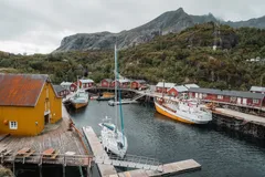
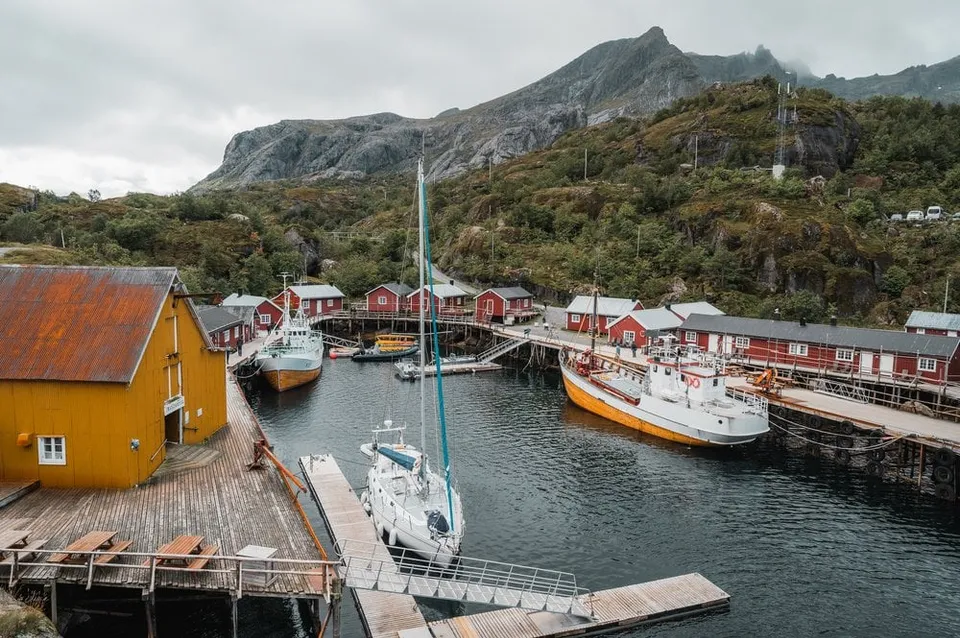
Norway · 68.0353° N 13.3478° E
One of Norway's oldest fishing villages, colourful houses tight against the water. In a storm the sea foams into the harbour itself.
- Best time
- All year · café in the village
- Coordinates
- 68.0353° N 13.3478° E
-
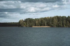
Sweden · 63.8189° N 20.3336° E
A forest lake right on the edge of Umeå, with a path around it for walking, running and cycling.
-
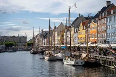
Denmark · 55.6797° N 12.5904° E
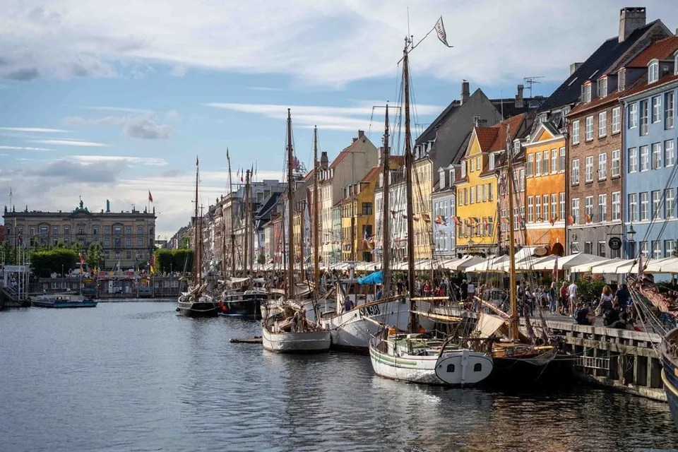
The colourful row of houses along the harbour canal, tall ships moored in front. We have breakfast here in the sunshine before heading on to Kastellet.
- Best time
- Late afternoon · all year
- Coordinates
- 55.6797° N 12.5904° E
-
Norway · 68.1611° N 13.5018° E
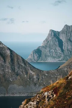
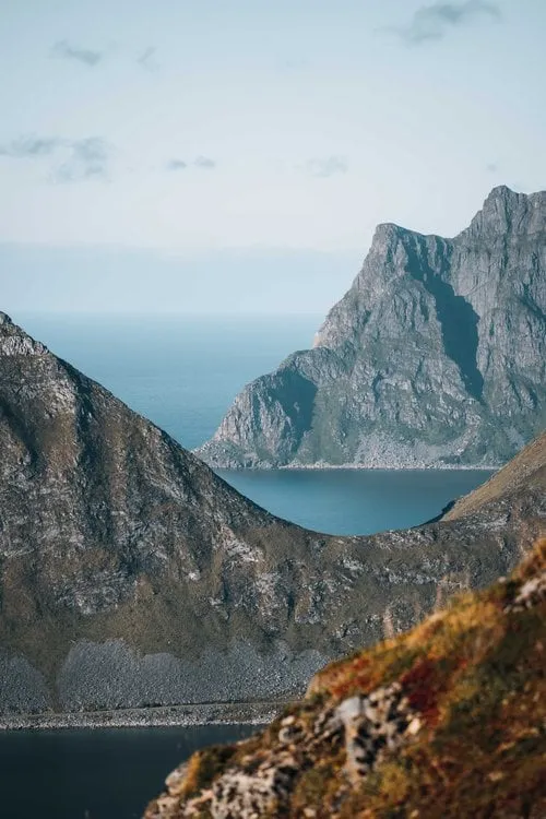
A short, punchy climb with a big payoff. From the ridge, peaks, fjords and the Nappstraumen strait layer all the way to the horizon.
- Best time
- Late afternoon · May to September
- Coordinates
- 68.1611° N 13.5018° E
-
Scotland · 57.5066° N 6.1735° W
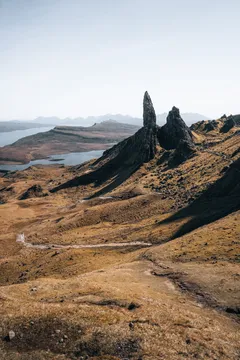
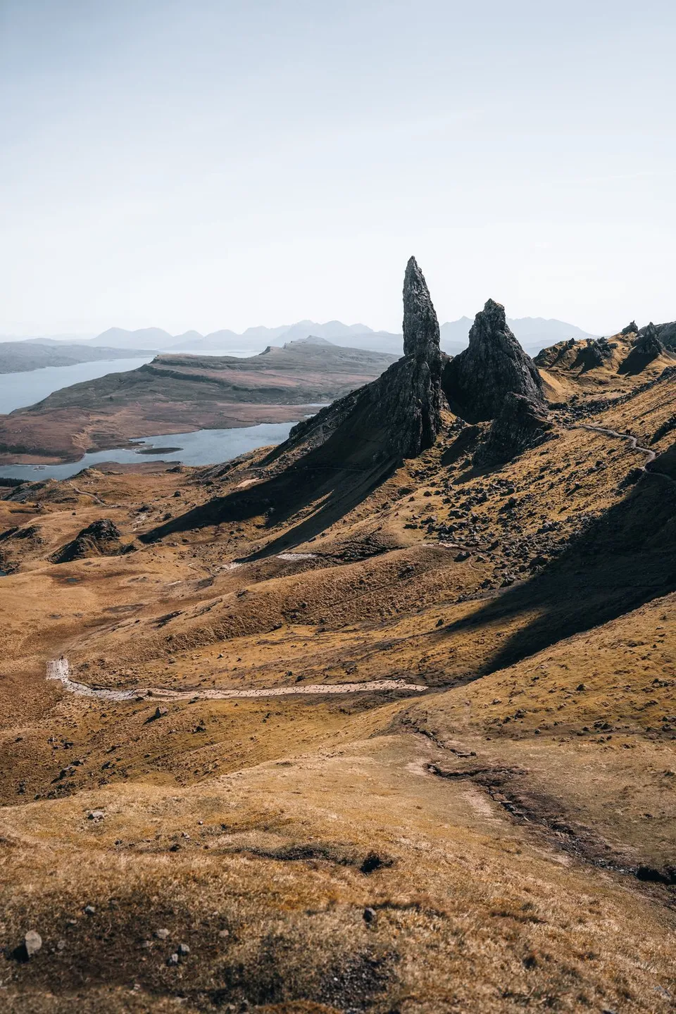
Skye's iconic rock pinnacle above the east coast. After roughly 45 minutes of climbing, the view opens over pinnacles, lochs and the sea.
- Best time
- Sunrise · all year
- Coordinates
- 57.5066° N 6.1735° W
-
Scotland · 58.4781° N 5.0898° W
White sand and bright blue, clear water. On our visit it is windy and rainy, so we watch the wild waves instead.
-
Norway · 59.9069° N 10.7536° E
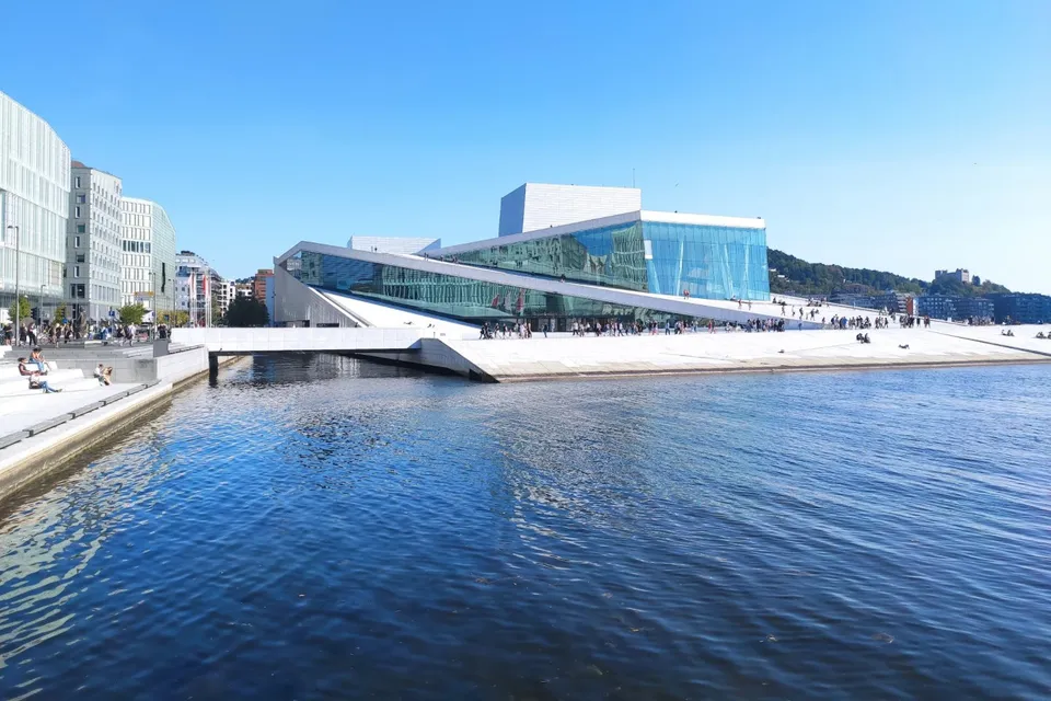
The futuristic opera house on the waterfront. Some walls are made entirely of glass, and we walk on the sloping roofs with a view of the sea and the harbours.
-
Hungary · 47.5068° N 19.0456° E
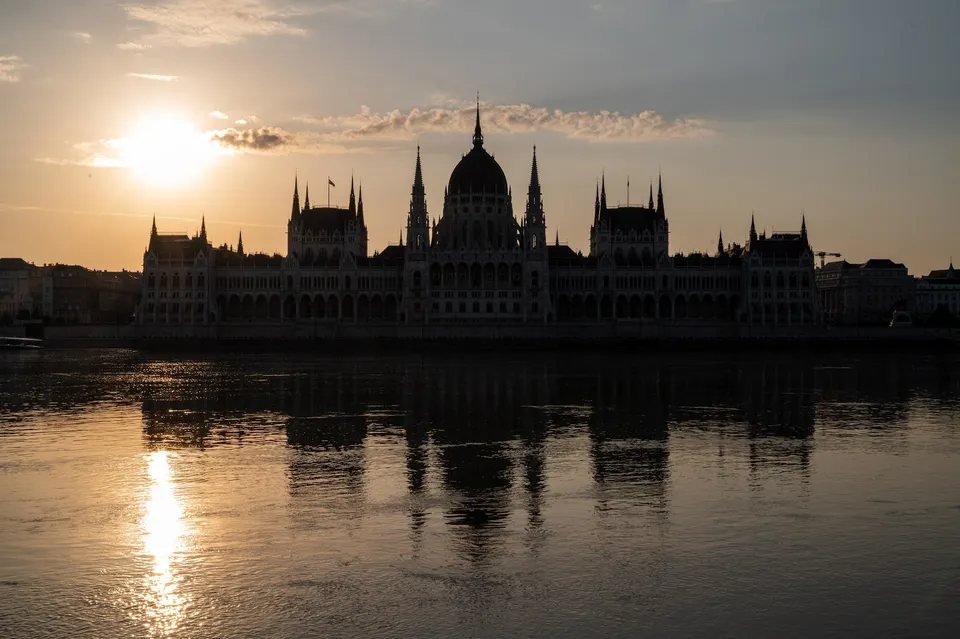
Hungary's largest building, of solid stone right on the Danube. From the opposite bank we see it mirrored in the still river at dawn.
- Best time
- Sunrise · lit up at night
- Coordinates
- 47.5068° N 19.0456° E
-
Norway · 68.0917° N 13.2408° E
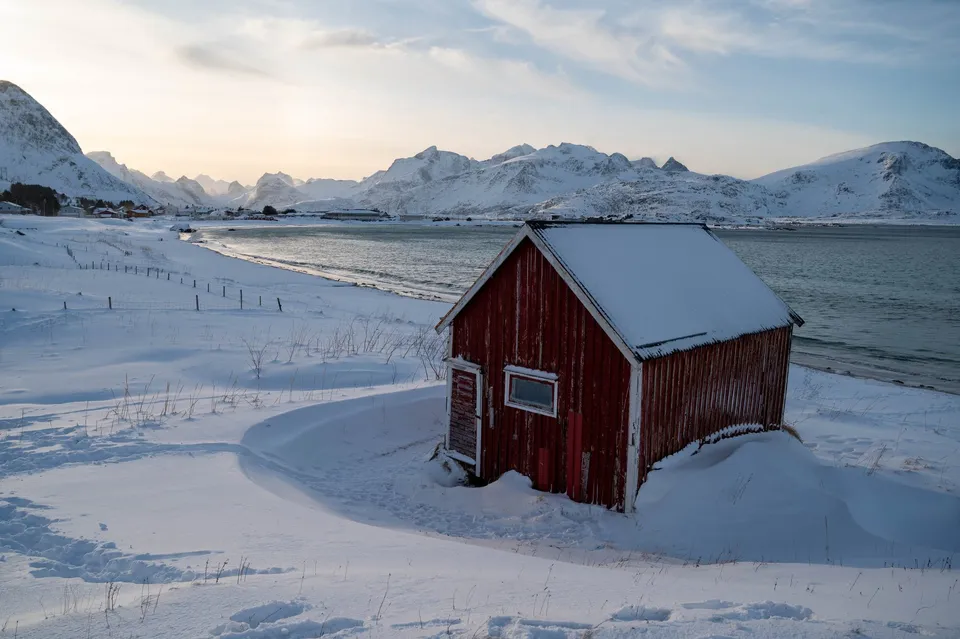
White sand right next to snow, with the little red hut at the edge. In winter the frost forms bizarre patterns in the sand.
- Best time
- Winter · midday light
- Coordinates
- 68.0917° N 13.2408° E
-
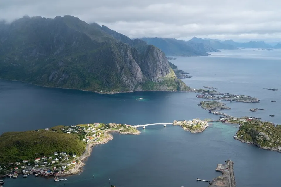
Norway · 67.9276° N 13.0765° E
A stone staircase built by Sherpas from Nepal, about 430 metres of ascent from the road, then the best-known view in the Lofoten over Reine and the fjords.
- Best time
- Early morning, before the crowds · May to September
- Coordinates
- 67.9276° N 13.0765° E
-
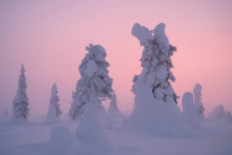
Finland · 66.2280° N 28.5060° E
Lapland's famous "tykky" trees. Spruces bent under their snow load that look like frozen sculptures at dusk.
- Best time
- Twilight · December to March
- Coordinates
- 66.2280° N 28.5060° E
-
Sweden · 63.3125° N 13.3483° E
One of Sweden's largest waterfalls, known from the film of Ronia, the Robber's Daughter. Paths follow the water, and the spray soaks camera and lenses.
-
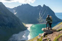
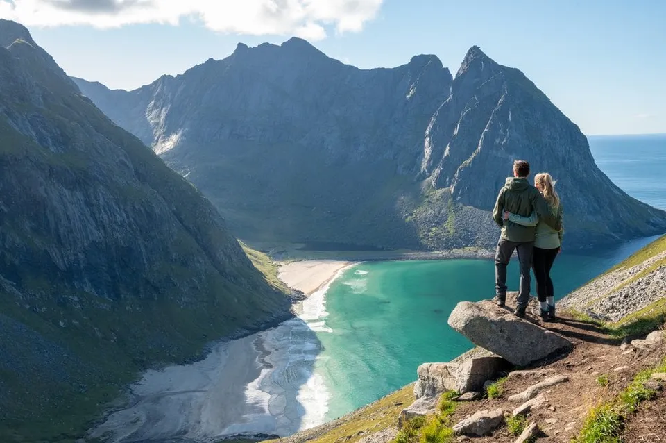
Norway · 68.0890° N 13.0928° E
543 metres above Kvalvika Beach, with the overhanging rock as a viewing platform. Two to three hours up from Fredvang.
- Best time
- Midnight sun · June to July
- Coordinates
- 68.0890° N 13.0928° E
-
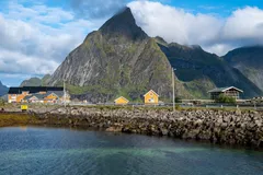
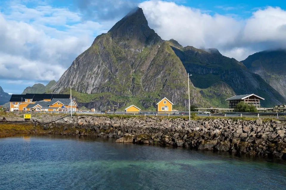
Norway · 67.9415° N 13.1117° E
Sakrisøy's ochre-yellow rorbuer cabins beneath the pyramid of Olstind, one of the most photographed scenes in the Lofoten, right off the E10.
- Best time
- Morning light · all year
- Coordinates
- 67.9415° N 13.1117° E
-
Norway · 68.7570° N 14.4733° E
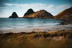
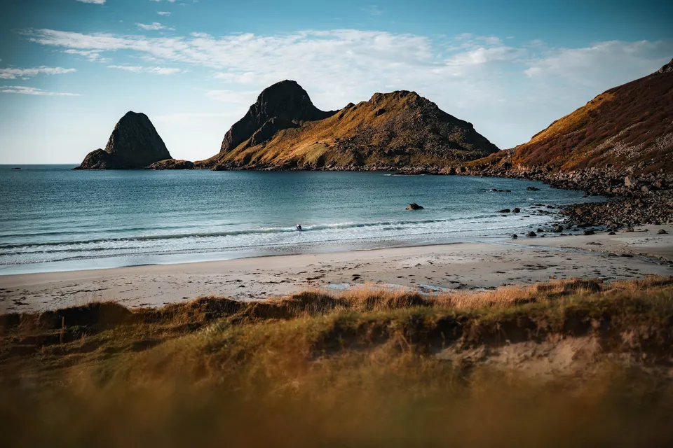
A lonely sandy beach in the bay of Sandvika near Bø. Off the coast the rocky peninsula of Engenyken and the pointed island of Spjøten rise from the sea.
-
Sweden · 58.4917° N 13.7452° E
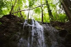
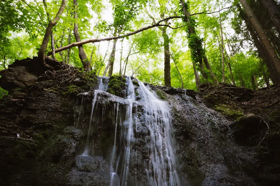
A stream with several waterfalls carrying little water, falling like strands of silver over the rock steps. A tripod and ND filter allow long exposures.
-
Norway · 68.1051° N 13.2917° E
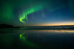
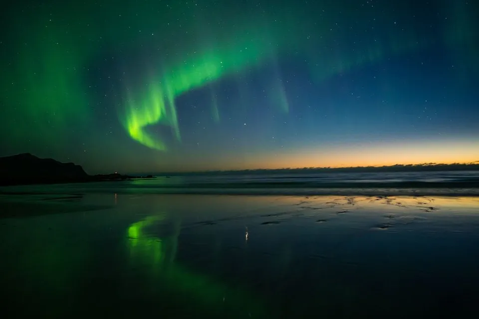
A wide sandy beach whose thin film of water mirrors the mountains and, in winter, the northern lights. Park by the cemetery and walk in.
- Best time
- Northern lights · September to March
- Coordinates
- 68.1051° N 13.2917° E
-
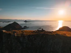
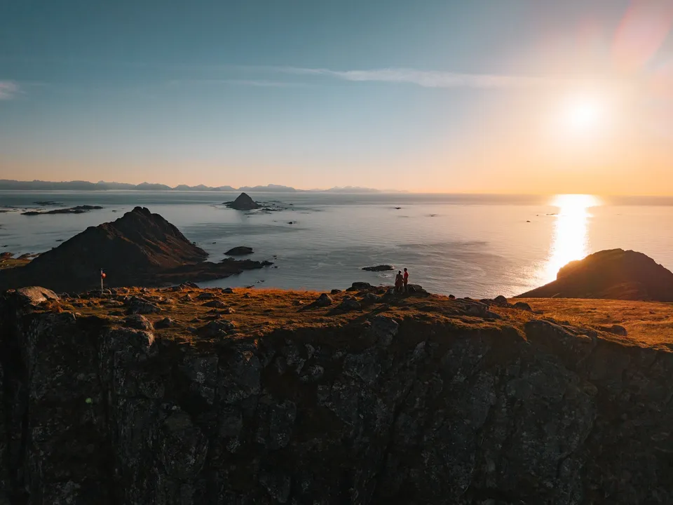
Norway · 68.6921° N 14.4116° E
From the 403-metre summit near Bø the view reaches over countless islands to the pointed Gaukværøya and Lofoten. About 400 metres of ascent.
- Best time
- Evenings in clear weather, for the sunset over the sea
- Coordinates
- 68.6921° N 14.4116° E
-
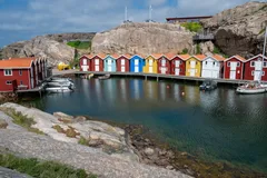
Sweden · 58.3531° N 11.2269° E
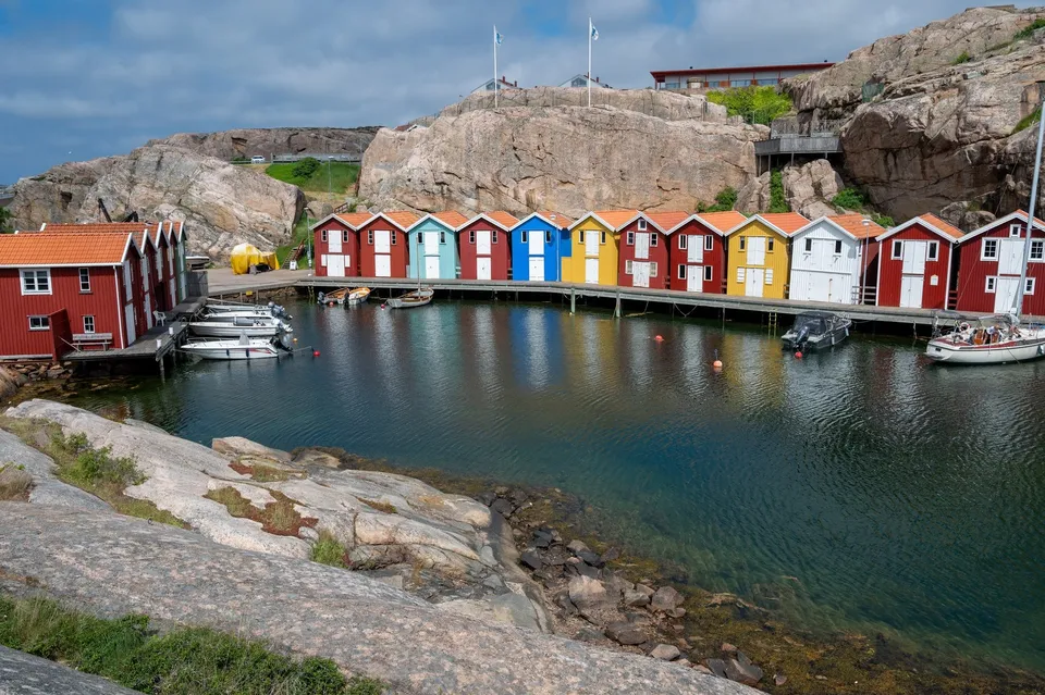
Colourful fishing huts on a bay of shimmering light blue sea. We climb over loose rocks to the sea and look out to a lighthouse.
-
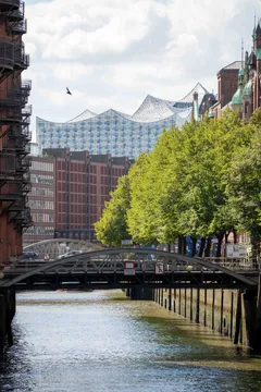
Germany · 53.5436° N 9.9930° E
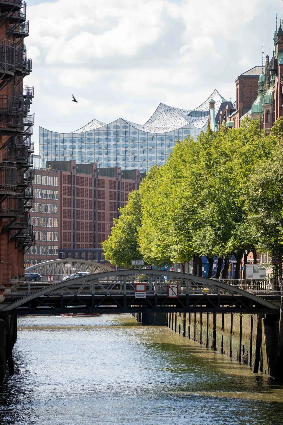
Brick warehouses, canals and bridges in Hamburg, plus the Wasserschloss and a canal with the Elbphilharmonie behind it.
- Best time
- Morning or blue hour
- Coordinates
- 53.5436° N 9.9930° E
-
Scotland · 56.2133° N 2.9612° W
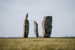
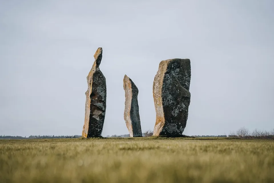
Three massive standing stones in the middle of a field, no fence, no visitor centre. First stop heading north.
-
Austria · 48.2085° N 16.3730° E
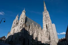
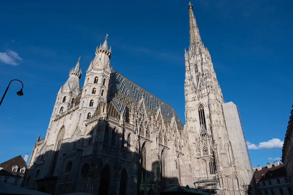
The cathedral with its patterned tiled roof. 343 steps of a spiral staircase lead up the south tower, and from the top we look down over all of Vienna.
-
Scotland · 58.2400° N 5.4026° W
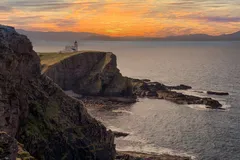
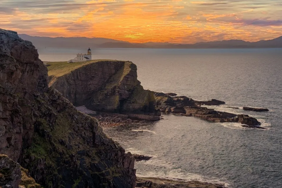
A lighthouse at the end of a narrow, winding road. The path to the Old Man of Stoer is often muddy, but the view is worth it anyway.
-
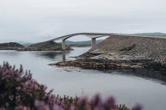
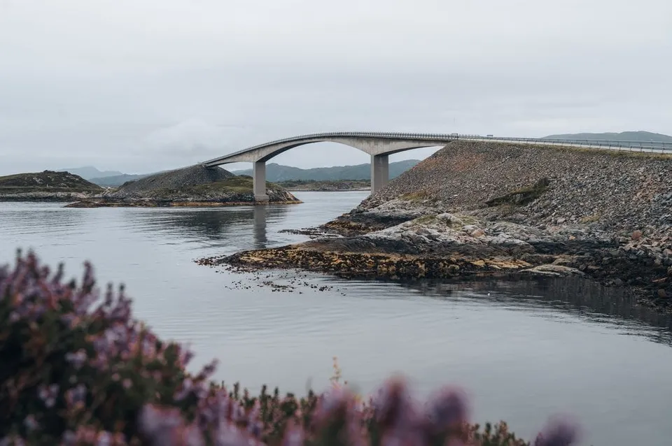
Norway · 63.0166° N 7.3560° E
The Atlantic Road's "bridge to nowhere". Best angle from the small hill on the south side, where a telephoto compresses the curve perfectly.
- Best time
- Evening light · all year
- Coordinates
- 63.0166° N 7.3560° E
-

Hungary · 47.4970° N 19.0634° E
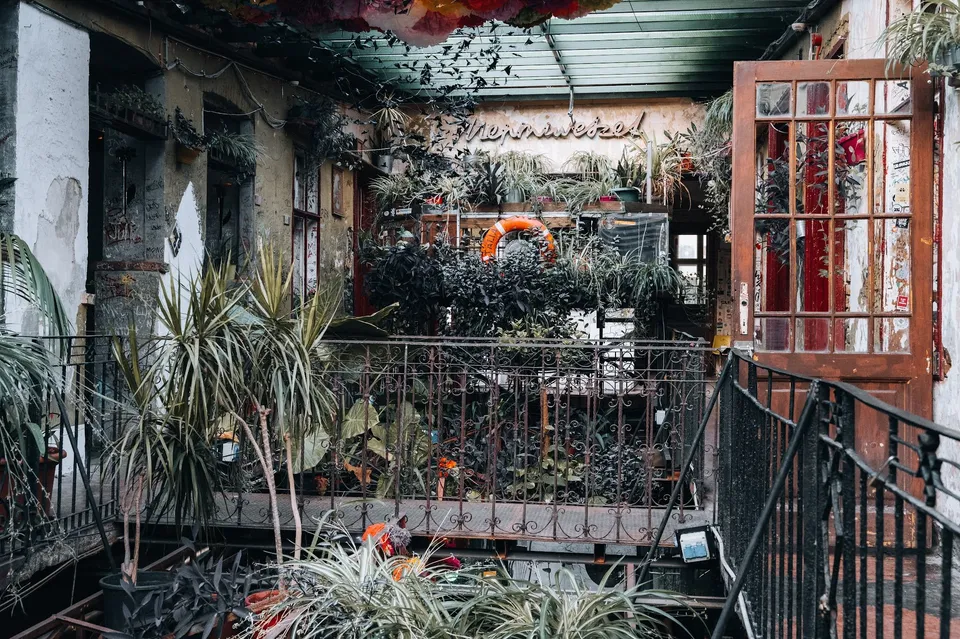
A typical ruin bar in an old, run-down building. The courtyard is full of plants, seats in bathtubs and car tyres and a great deal of colour.
-
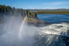
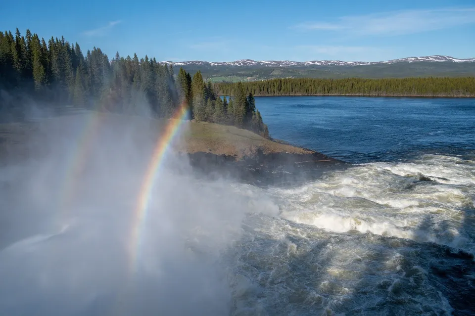
Sweden · 63.4453° N 12.7403° E
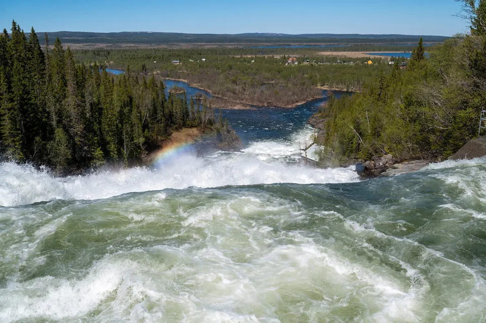
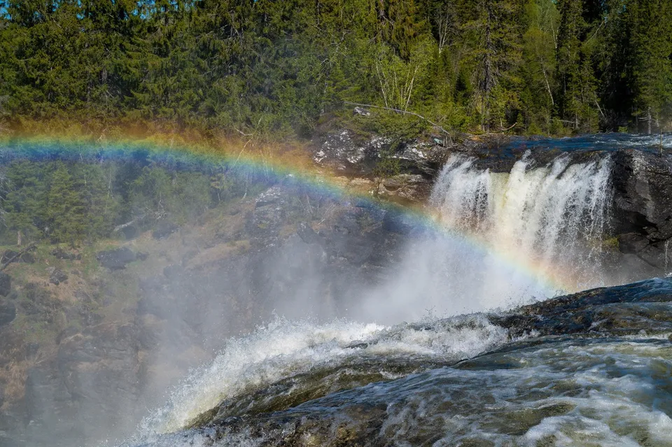
Sweden's largest waterfall by volume. In spring up to 740 m³ per second pour over the edge, and the spray hits us even from a distance.
- Best time
- Spring · evening sun for the rainbow
- Coordinates
- 63.4453° N 12.7403° E
-
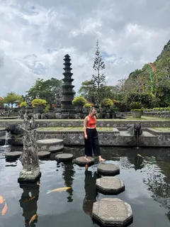
Indonesia · 8.4119° S 115.5875° E
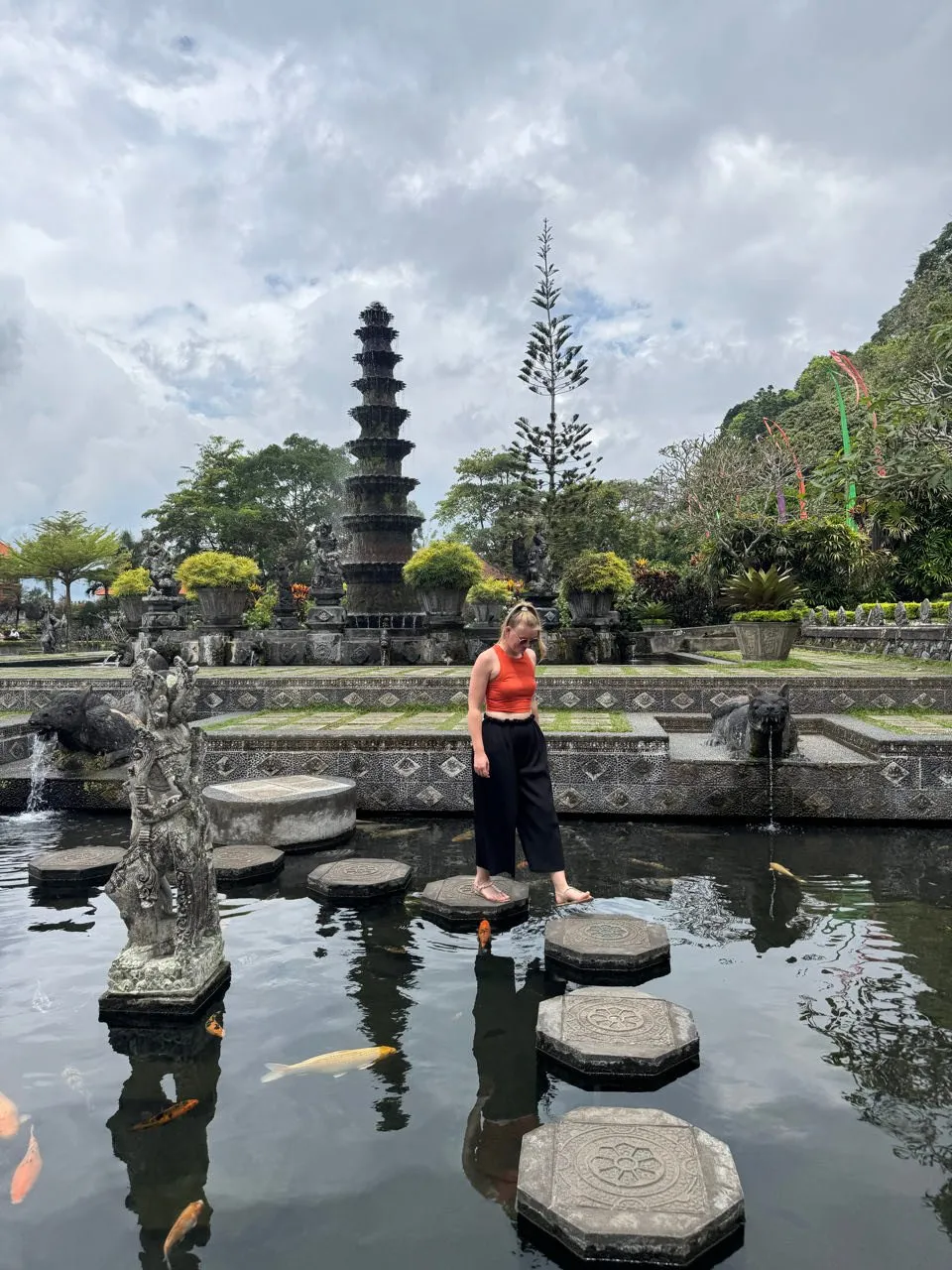
A famous water palace in eastern Bali, once a royal palace. Stepping stones cross the koi pond, and a multi-tiered tower rises behind them.
-
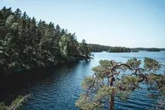
Sweden · 58.7167° N 14.6056° E
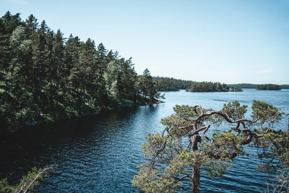
Old, wild forest full of boulders. The trail along the lakes keeps opening viewpoints over water tinted red and yellow.
-
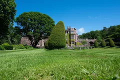
Sweden · 57.3986° N 12.1031° E
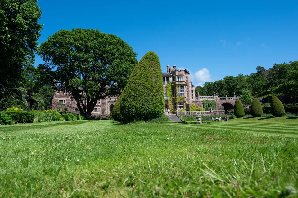
Completed around 1904, the castle south of Gothenburg sits right by the sea, surrounded by gardens with walking paths. The wind blows hard here.
-
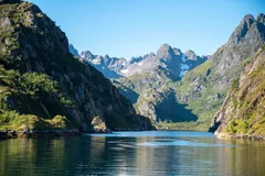
Norway · 68.3628° N 14.9361° E
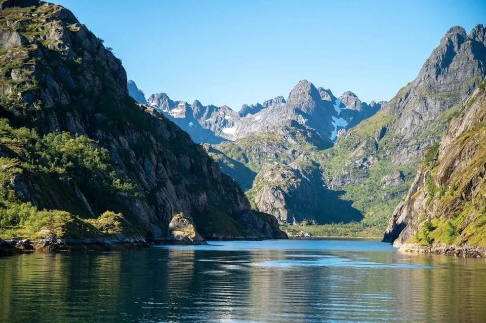
A two-kilometre fjord with an entrance barely 100 metres wide, walled in by 600 to 1000 metre faces. Reachable only by boat.
- Best time
- Midday, when light reaches into the fjord
- Coordinates
- 68.3628° N 14.9361° E
-
Norway · 69.4870° N 17.3333° E
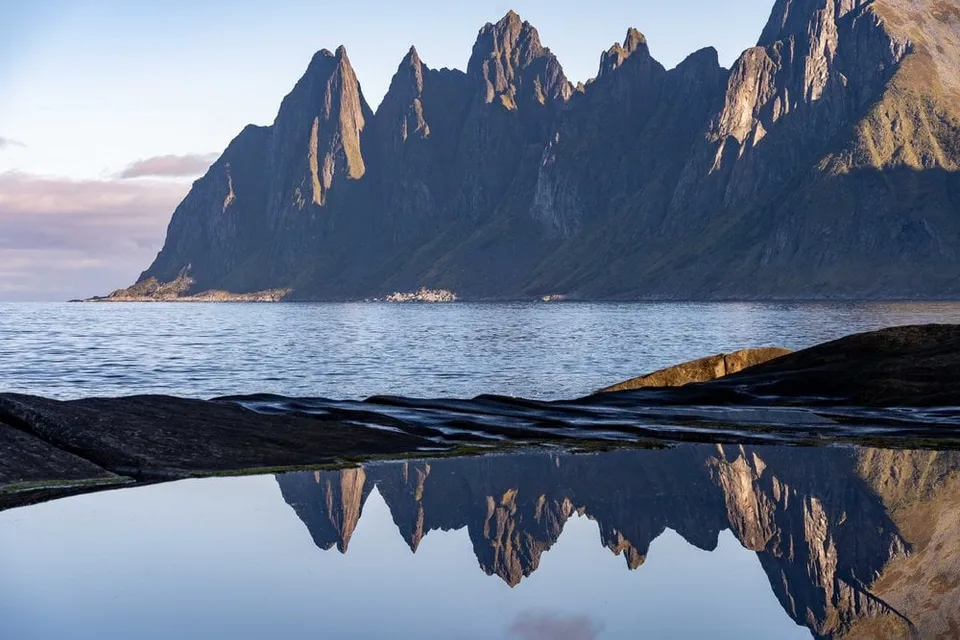
A boardwalk right on the coast facing the jagged Okshornan peaks, dramatic in heavy seas and under winter auroras.
- Best time
- Sunset · aurora season
- Coordinates
- 69.4870° N 17.3333° E
-
Norway · 68.6392° N 14.5424° E
From the 467-metre Vetten, one of the most popular summits in Bø, you see all around over lakes, bogs and islands to Lofoten. Next to the summit stands the open hut Vettenbua.
-
Scotland · 58.3457° N 3.1615° W
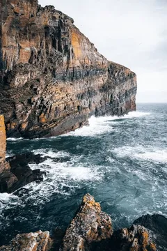
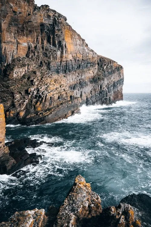
365 steps cut into the rock, down to a tiny harbour between cliffs. The sea roars at the bottom.
- Best time
- Late morning · with a swell
- Coordinates
- 58.3457° N 3.1615° W
No spot found.
This sends your IP address to the OpenStreetMap Foundation. You can change it any time in the .
No spot found.