68.0803° N 13.2003° E
Fredvang Bridges, Lofoten
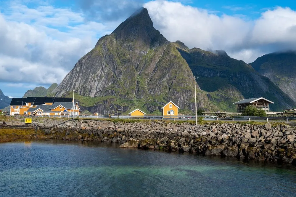
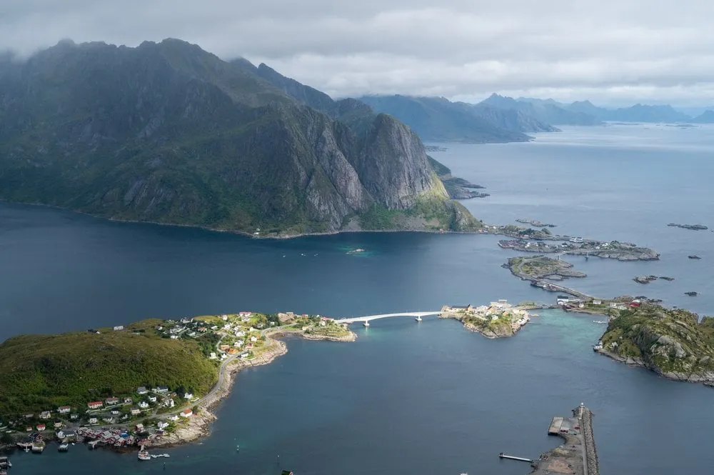
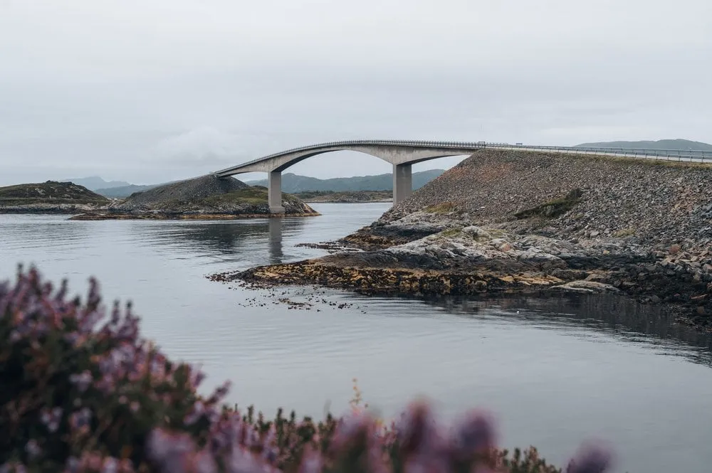
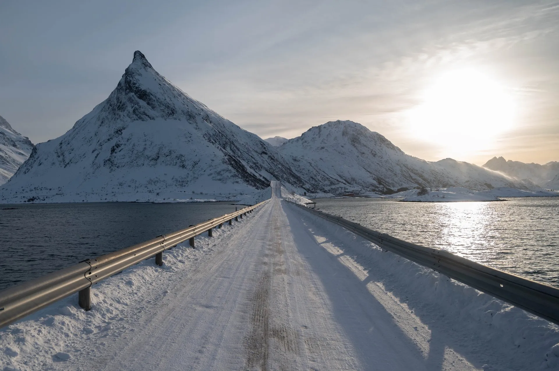
Two sweeping bridges link the small islands at Fredvang. In winter, snowsnakes drift across the asphalt.
- Best time
- Winter · drone
- Country
- Norway
- Latitude
- 68.0803° N
- Longitude
- 13.2003° E
On site
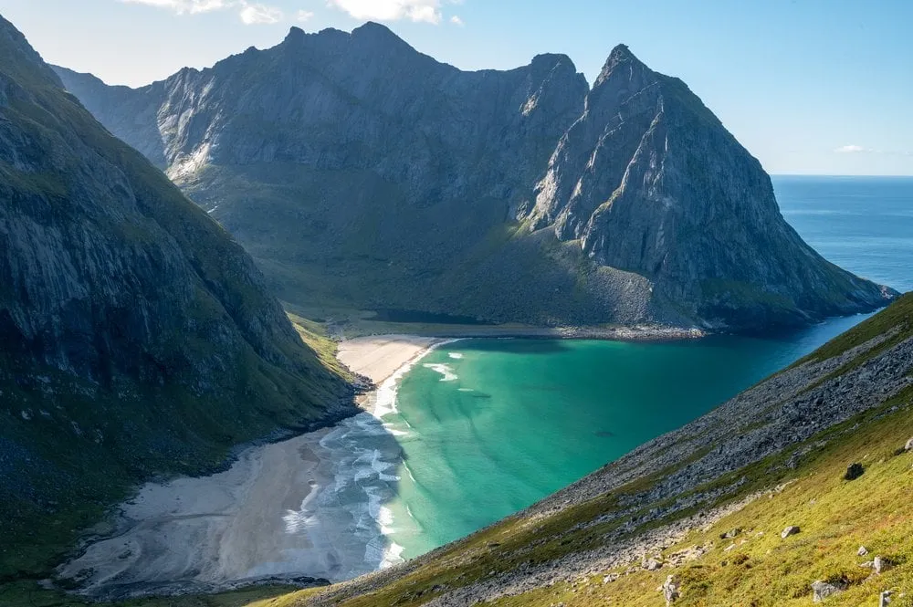
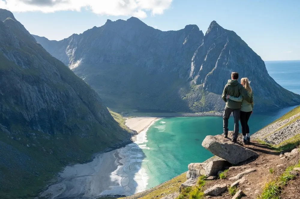
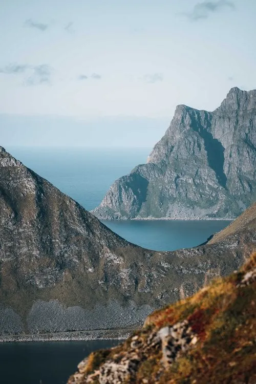
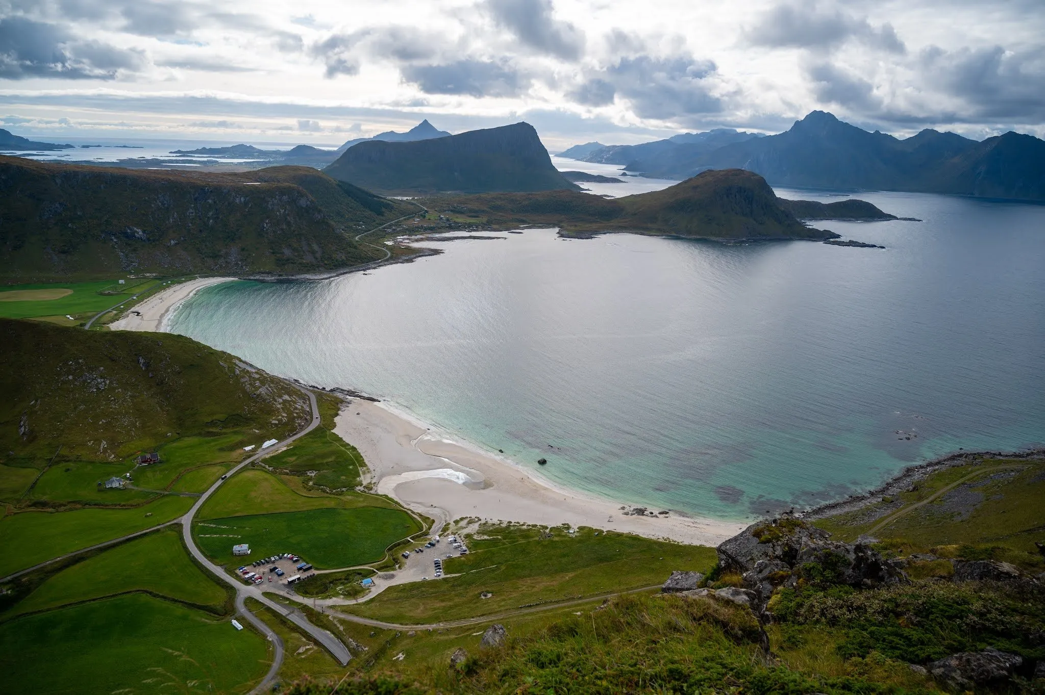
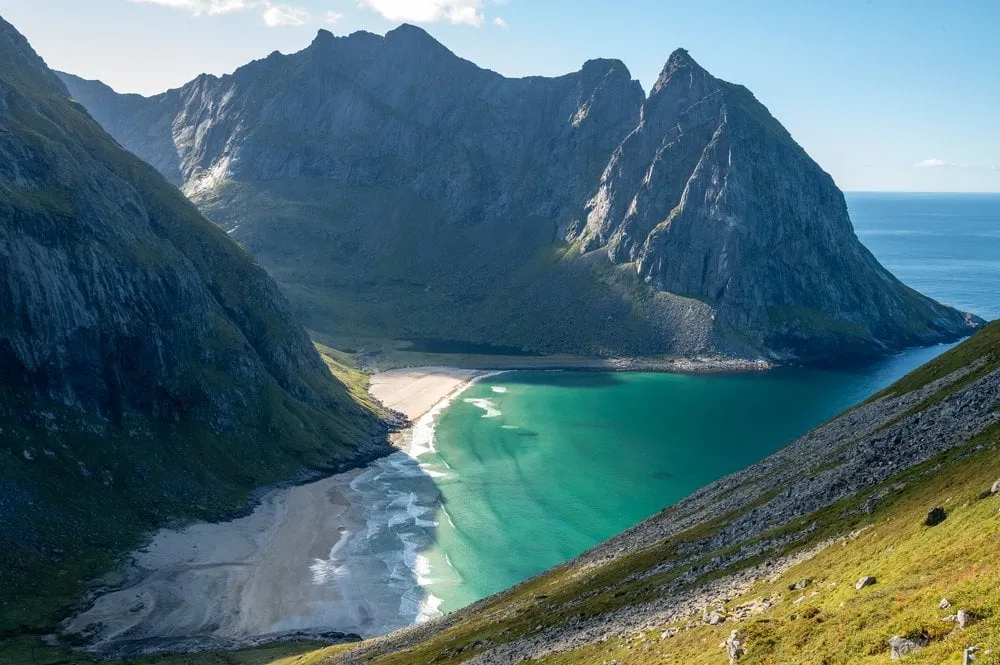
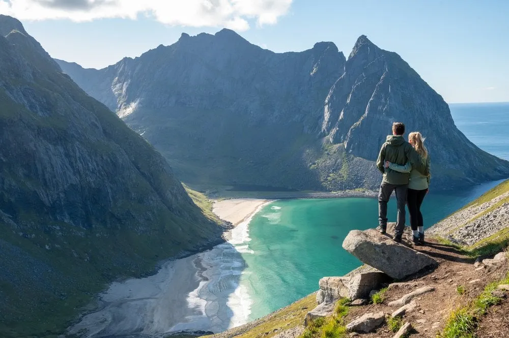
The two sweeping bridges between Ramberg and Fredvang link the small islands at Fredvang. They take you to the beach at Fredvang and to the start of the hike up Ryten and to Kvalvika Beach. From the car park where several hikes start in summer, you look out over the beach.
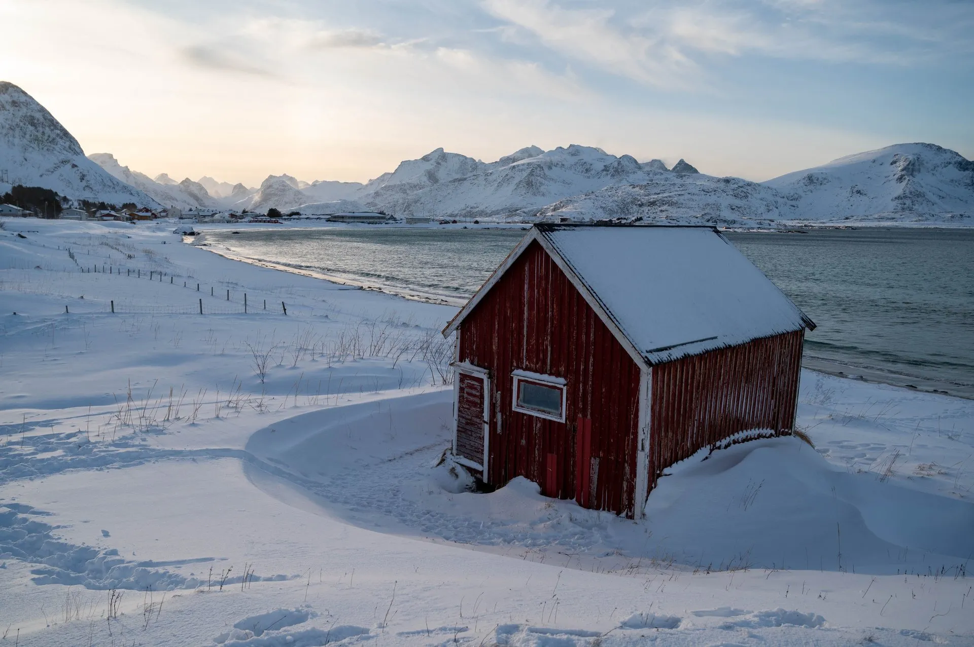
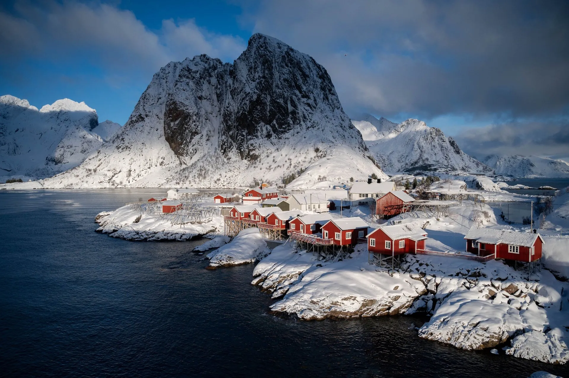
In February 2024 it is sunny but very windy. Snowsnakes drift across the roads, clouds of snow driven by the wind that look like writhing snakes on the ground. Nicolas flies the drone anyway, and it makes only very slow progress in the wind. That is how the photo above the road comes about, with the sun low over the summit.
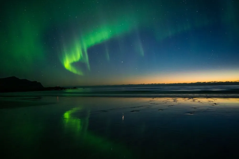
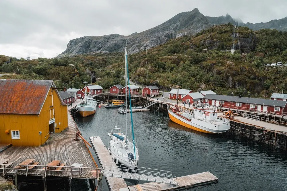
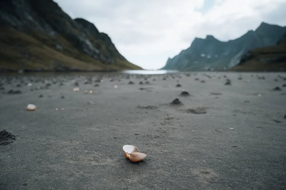
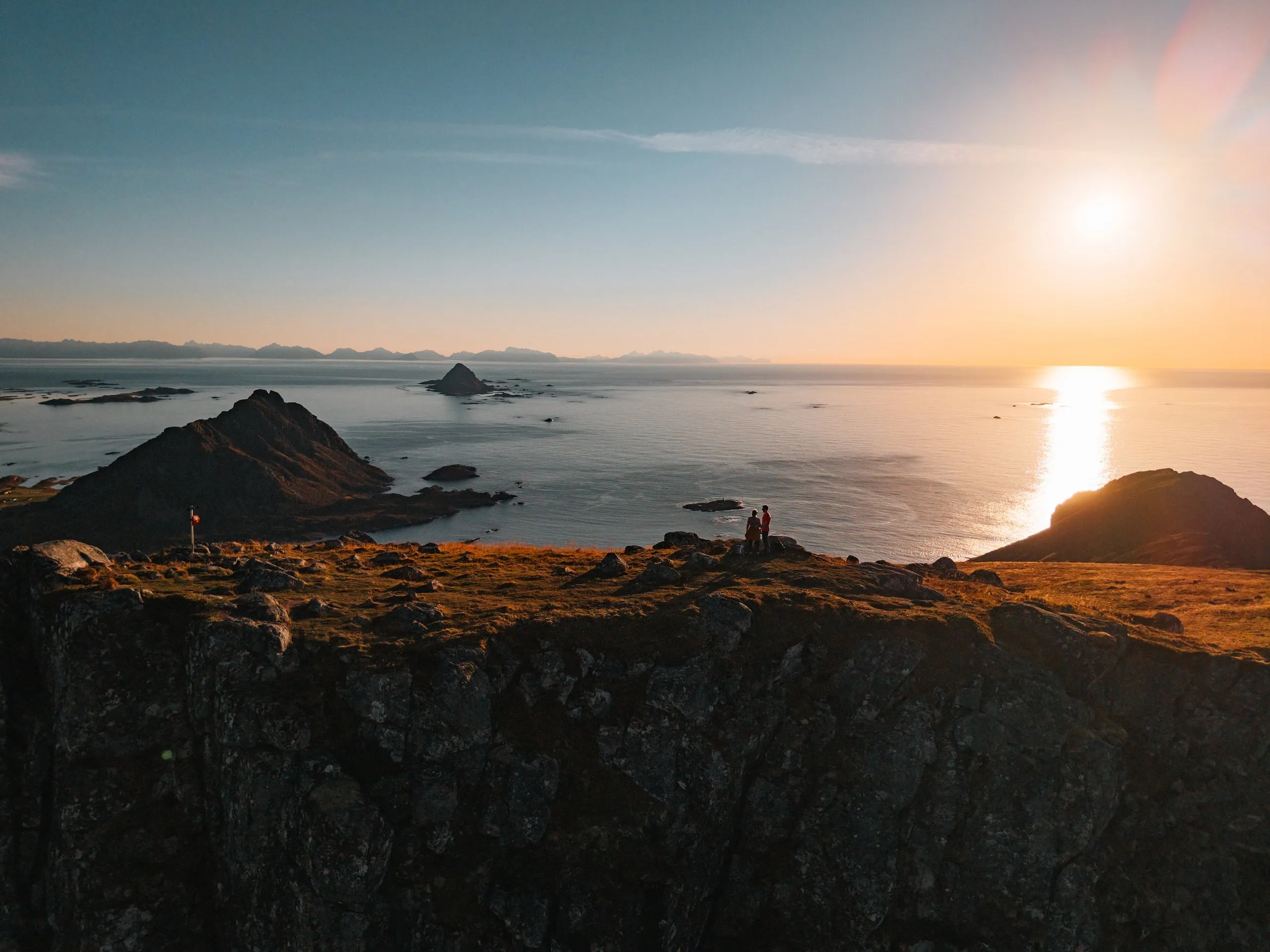
We have driven over the bridges many times. In September 2021 we watch the sunset here after the hike to Kvalvika Beach. In September 2022 Nicolas launches the drone from the car and lets it follow us over the bridges while Annina drives. In September 2026, on the way back from Nusfjord, we stop briefly at the beach at Fredvang, with a rainbow above it.
This sends your IP address to the OpenStreetMap Foundation. You can change it any time in the .
Fredvang Bridges, Lofoten 68.0803° N 13.2003° E