68.2037° N 13.5202° E
Mannen, Vestvågøy
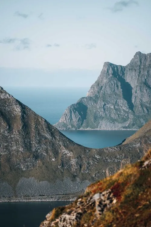
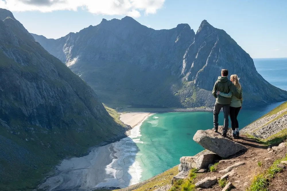
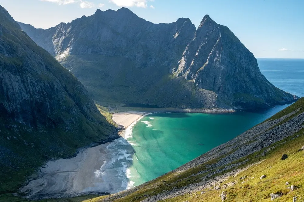
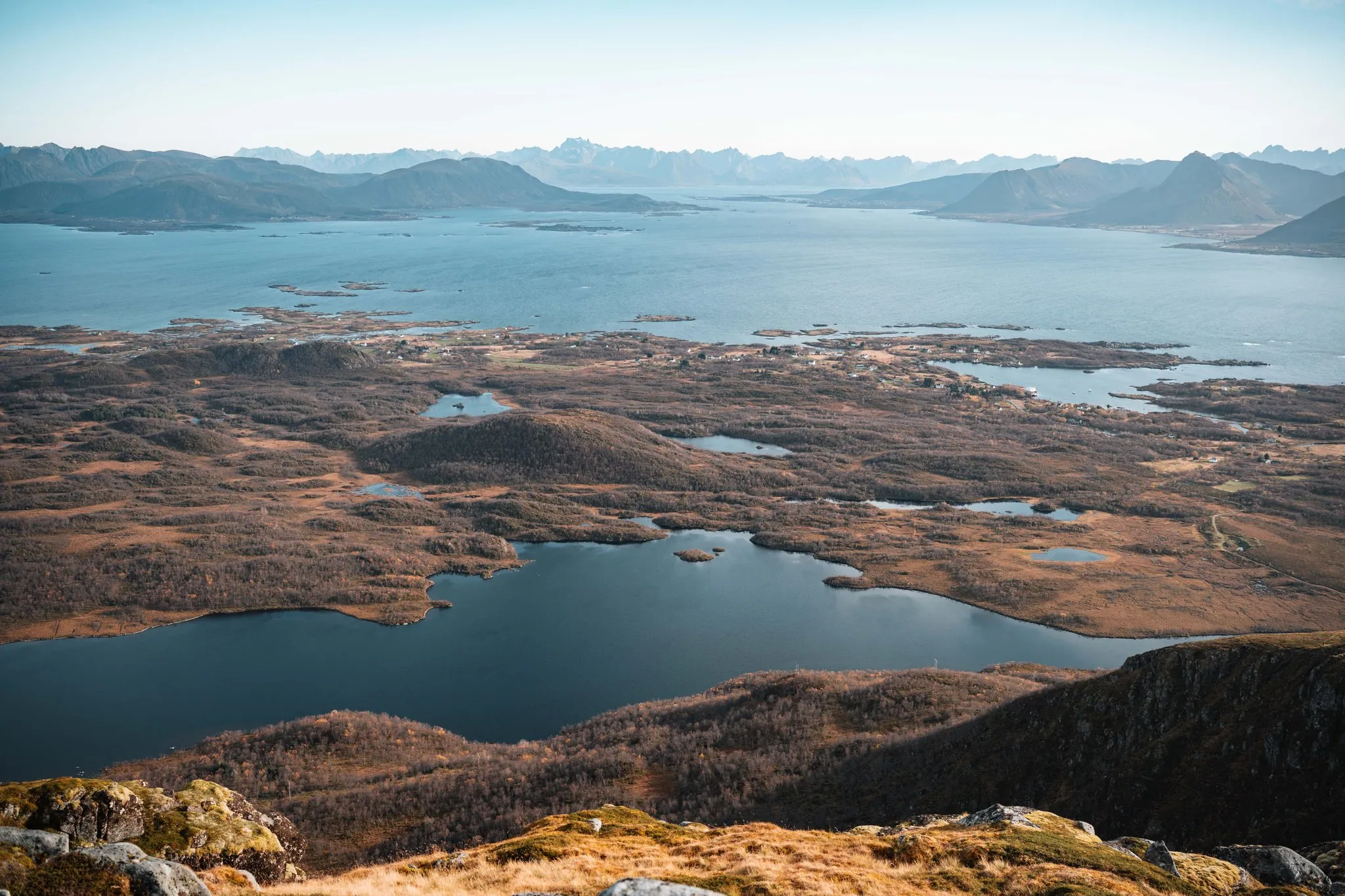
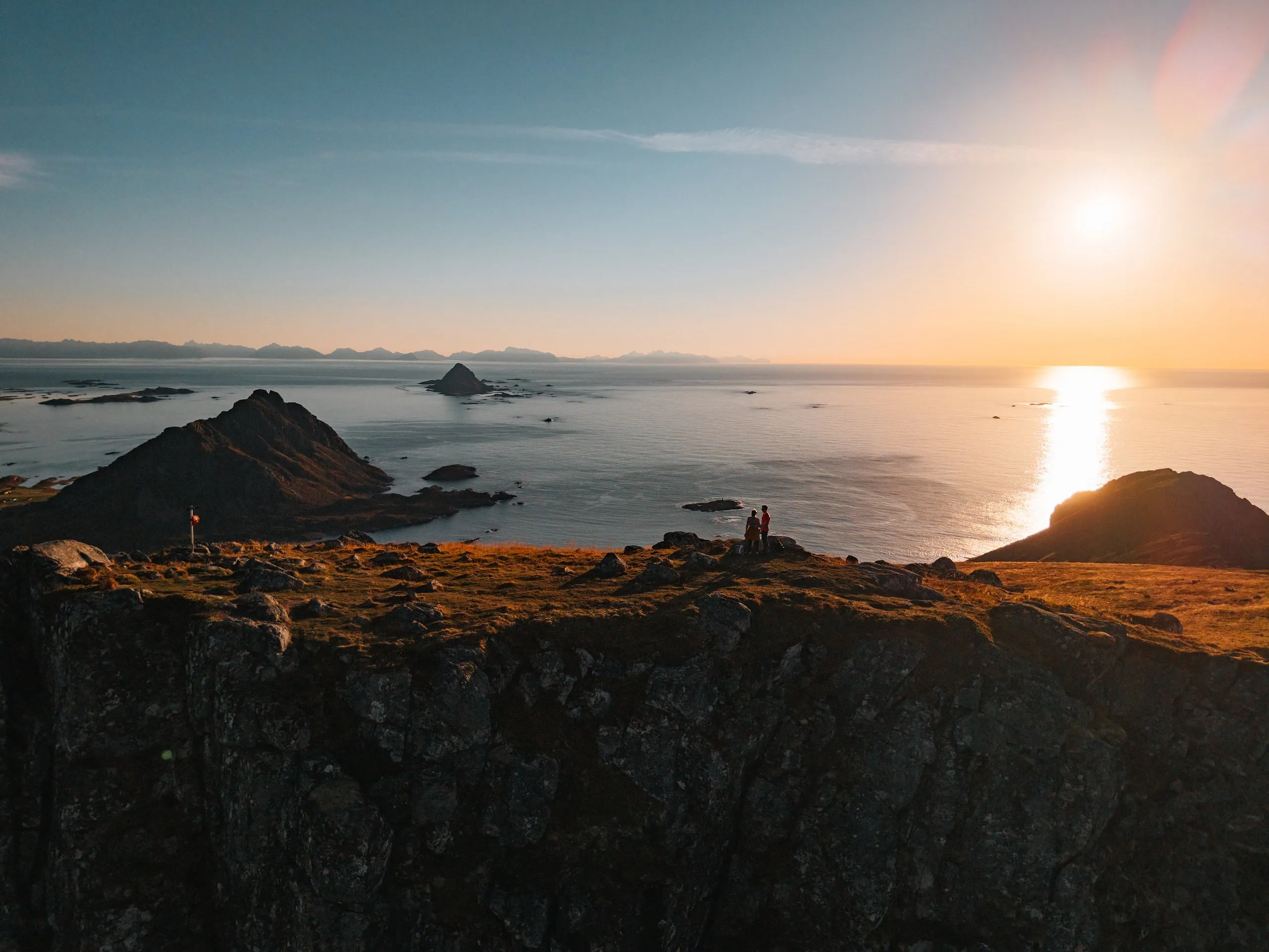
A steep climb with some scrambling from the free car park at Hauklandstranda. At the top we see far across the sea, mountains and several beaches.
- Country
- Norway
- Latitude
- 68.2037° N
- Longitude
- 13.5202° E
On site
Mannen is 400 metres high and rises right above Hauklandstranda. We climb it in September 2021, on a day with good weather in the forecast.
We park at Hauklandstranda, which was still free in 2021. Today the car park charges a fee, according to hauklandbeach.no 26 kroner per hour for a car. The old cart road begins on the other side of the road. On our track it is about 700 metres from the car park until a clear path heads up the slope. At a brook the path to the summit turns left and follows the ridge, while the path straight on leads towards Uttakleiv.
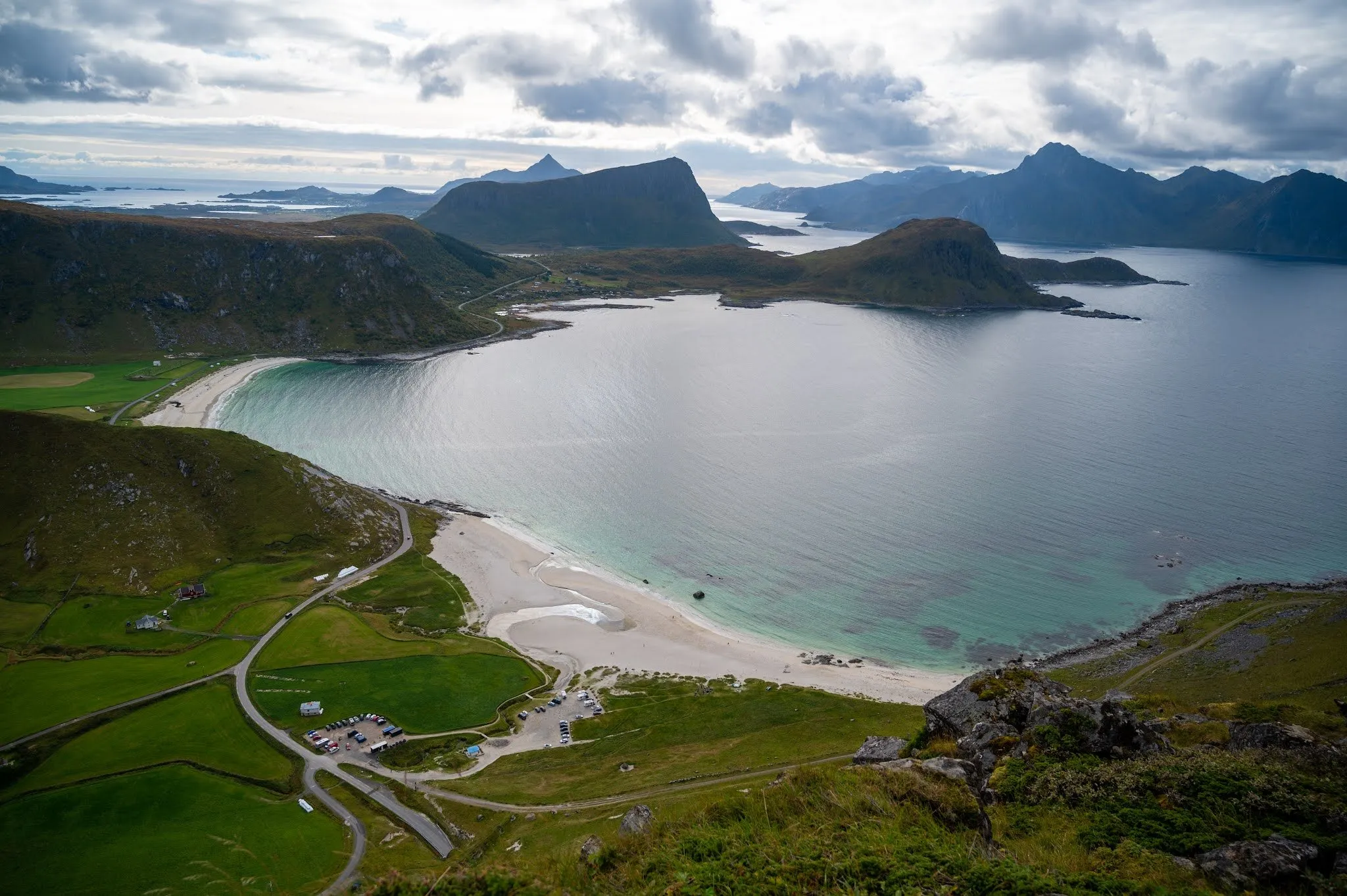
The climb is steep, and in some places we scramble over large boulders. After only a few metres of ascent we see the beach where we started down on our left. We did not record our own walking time.
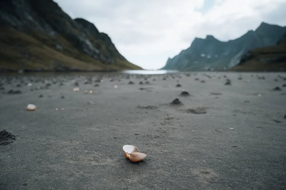
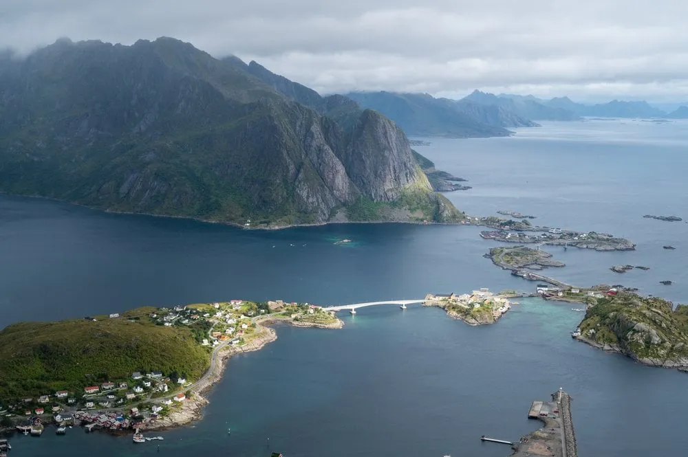
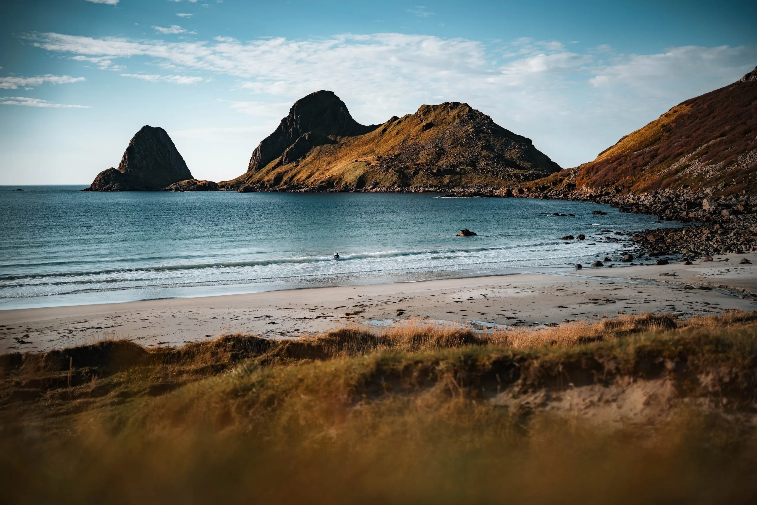
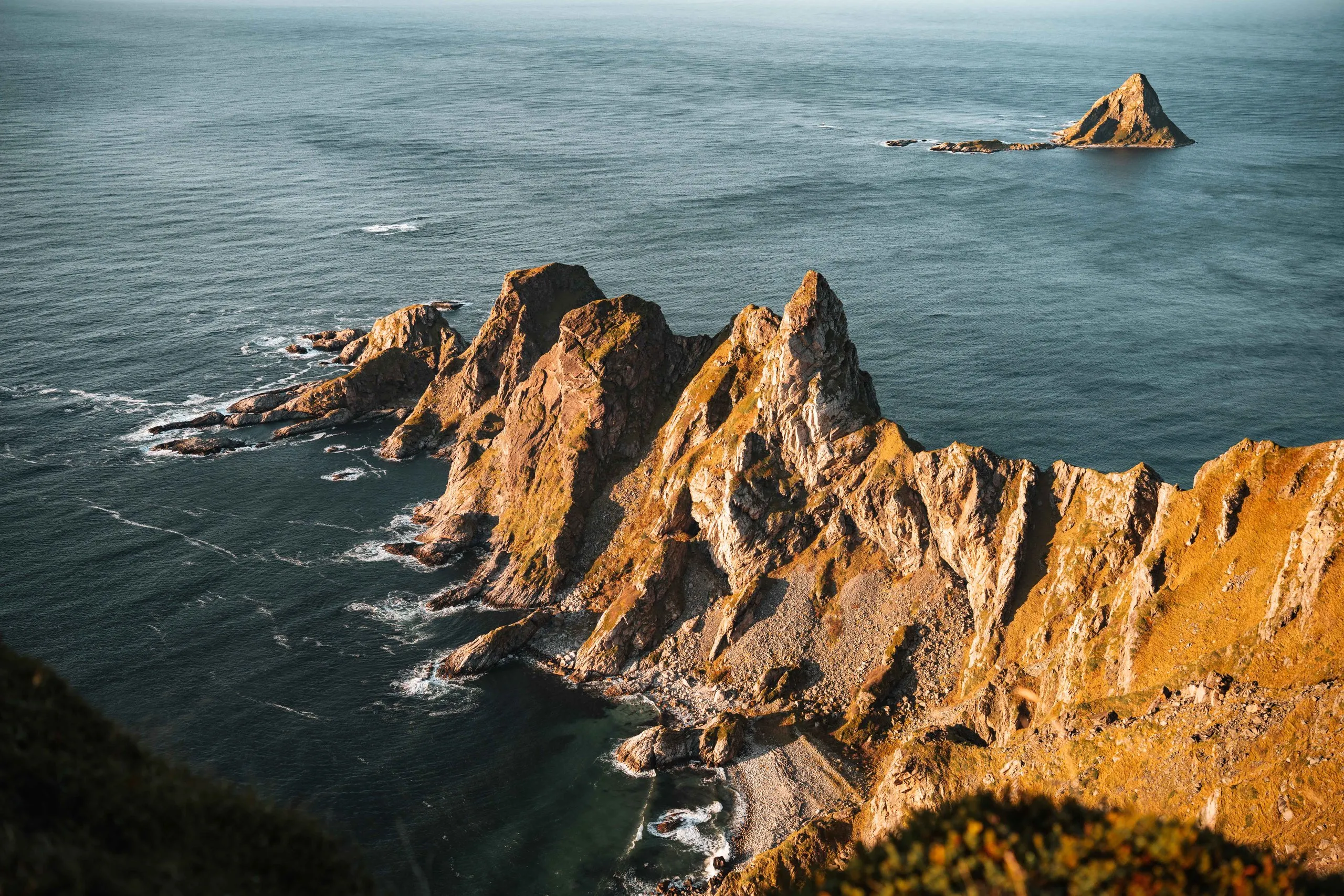
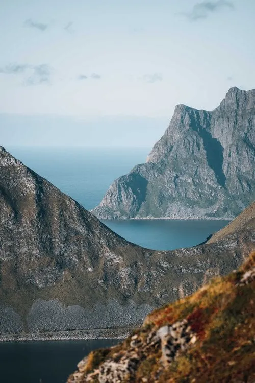
At the top the bay with turquoise water and pale sand lies on one side. From up high we see the sandbanks and tidal channels at Hauklandstranda and the cars on the car park below. On the other side staggered mountains stretch behind a green peninsula above the calm sea. We have a picnic on the summit and go down the same way, which is somewhat easier than the climb. Down on the beach it suddenly starts to rain, and we flee into the car.
This sends your IP address to the OpenStreetMap Foundation. You can change it any time in the .
Mannen, Vestvågøy 68.2037° N 13.5202° E