68.0773° N 13.0964° E
Kvalvika Beach, Lofoten
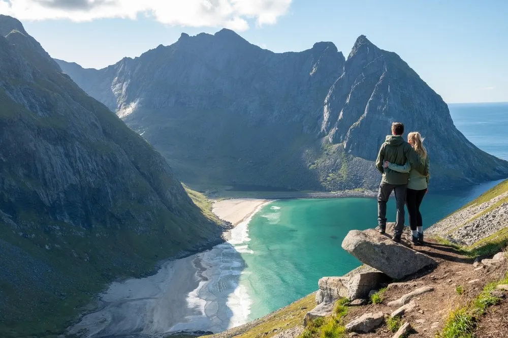
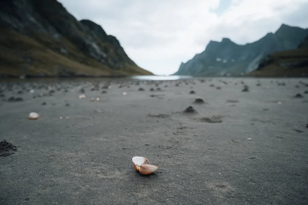
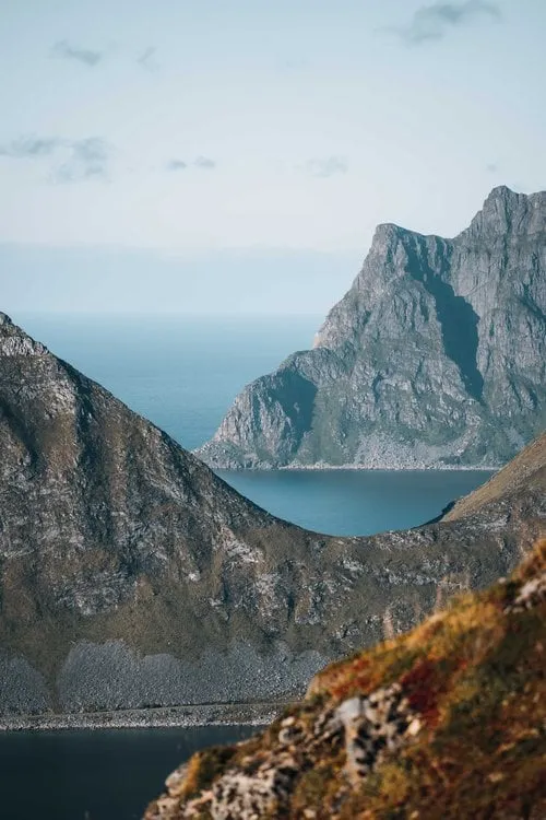
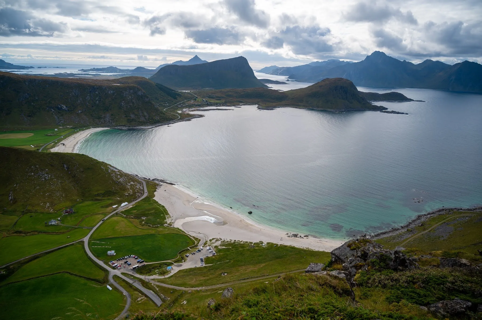
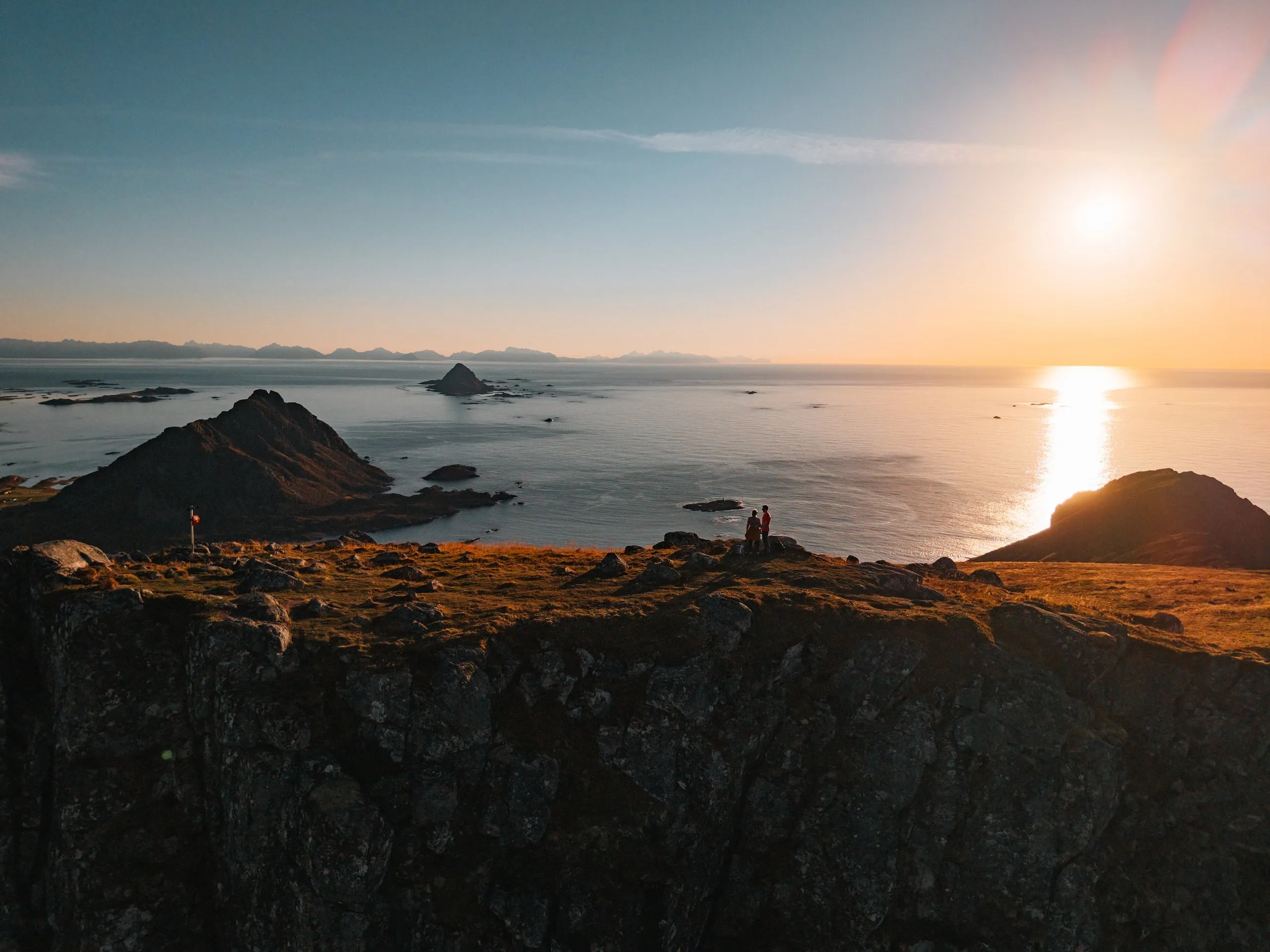
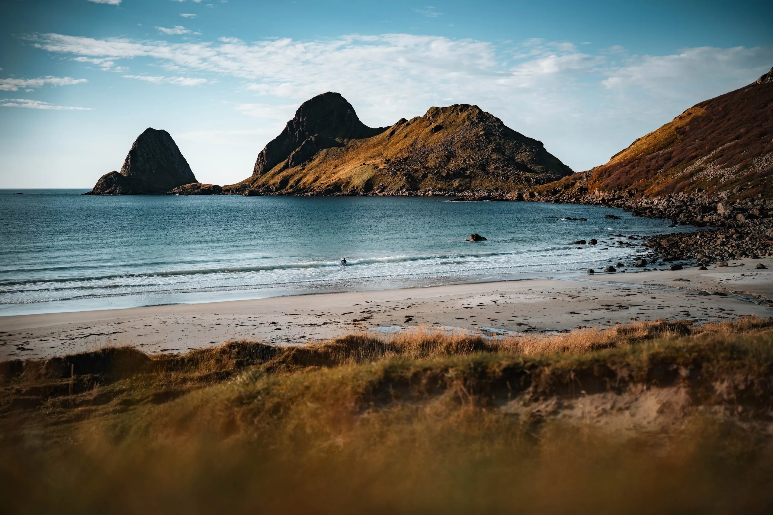
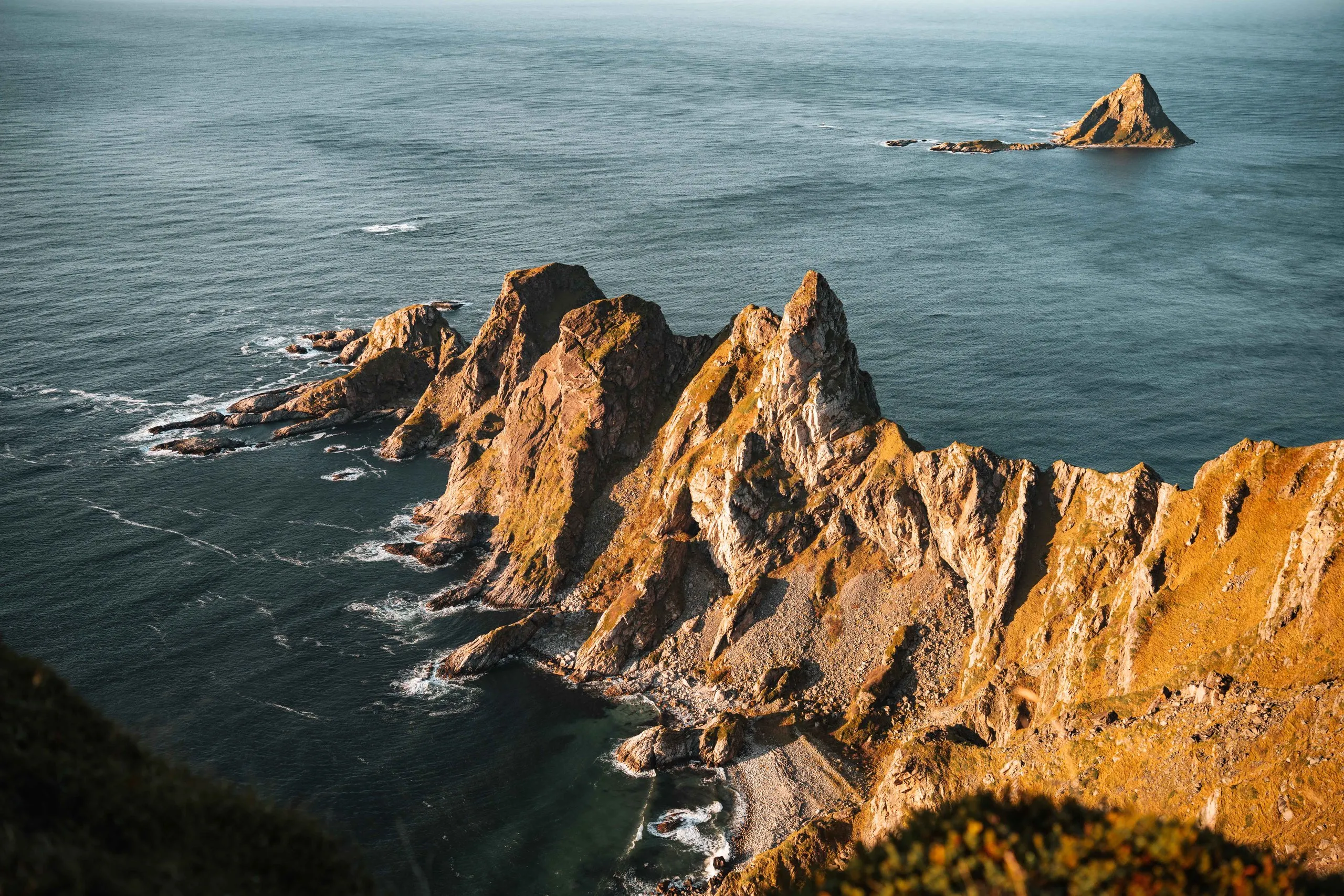
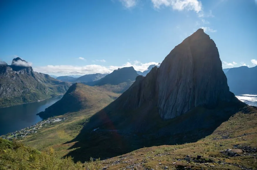
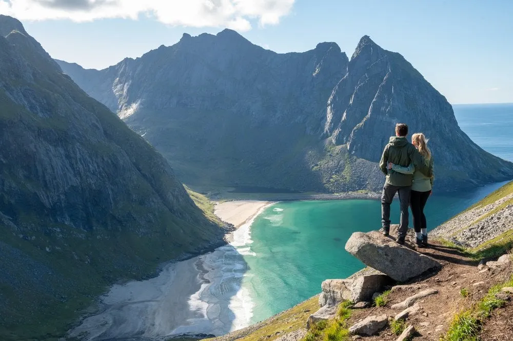
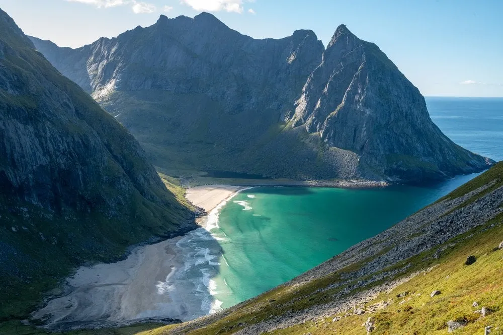
A turquoise bay walled in by steep cliffs, reachable only on foot. The finest view opens up on the climb towards Ryten.
- Best time
- Afternoon · June to September
- Country
- Norway
- Latitude
- 68.0773° N
- Longitude
- 13.0964° E
On site
There is no road to Kvalvika Beach. The direct path starts at Torsfjorden and leads over the Skoren saddle, while the big loop starts in Fredvang and goes over Ryten. We have been there four times, each time in September.
We walk the direct path twice in September 2021. The first time we stop at the view of the bay and have our picnic up there in strong wind. Two days later the climb is much more pleasant, the stones are not slippery, and at times we walk in T-shirts. On the way down to the beach we have to climb a little and cross steep rock slabs with a stream running over them. When we get down, the beach is still in shadow, and after a few cooler minutes the sun comes out from behind the mountain. We have the beach almost to ourselves and eat our picnic of cheese sandwiches, yoghurt and a triple chocolate muffin. For us, Kvalvika is the most beautiful beach in the Lofoten.
In 2022 we come down from Ryten and take the direct path back, with only 200 metres of ascent but many scrambles. After that we still walk an hour along the road back to the car park in Fredvang. According to ut.no, parking in Torsfjorden and along the access road is currently not allowed, and a shuttle bus runs from there back to Fredvang.
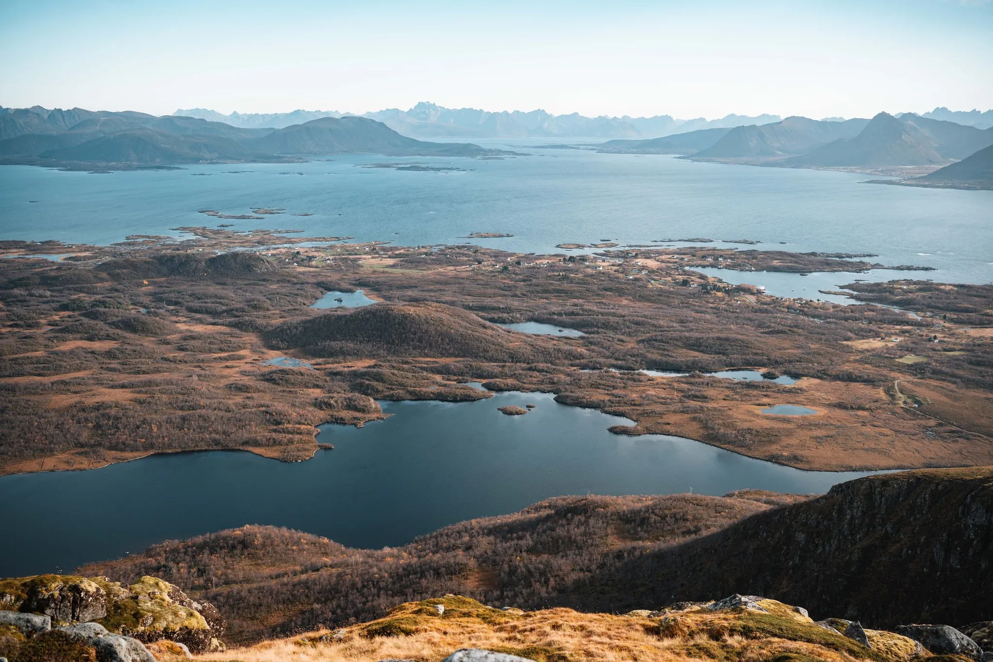
In September 2026 we start in Fredvang again. The path is very muddy and the sky grey. From the windy ridge we look down on the bay. Along the path the rowan berries glow red, and the grass and bushes have turned orange.
This sends your IP address to the OpenStreetMap Foundation. You can change it any time in the .
Kvalvika Beach, Lofoten 68.0773° N 13.0964° E