68.7570° N 14.4733° E
Sandvika, Vesterålen
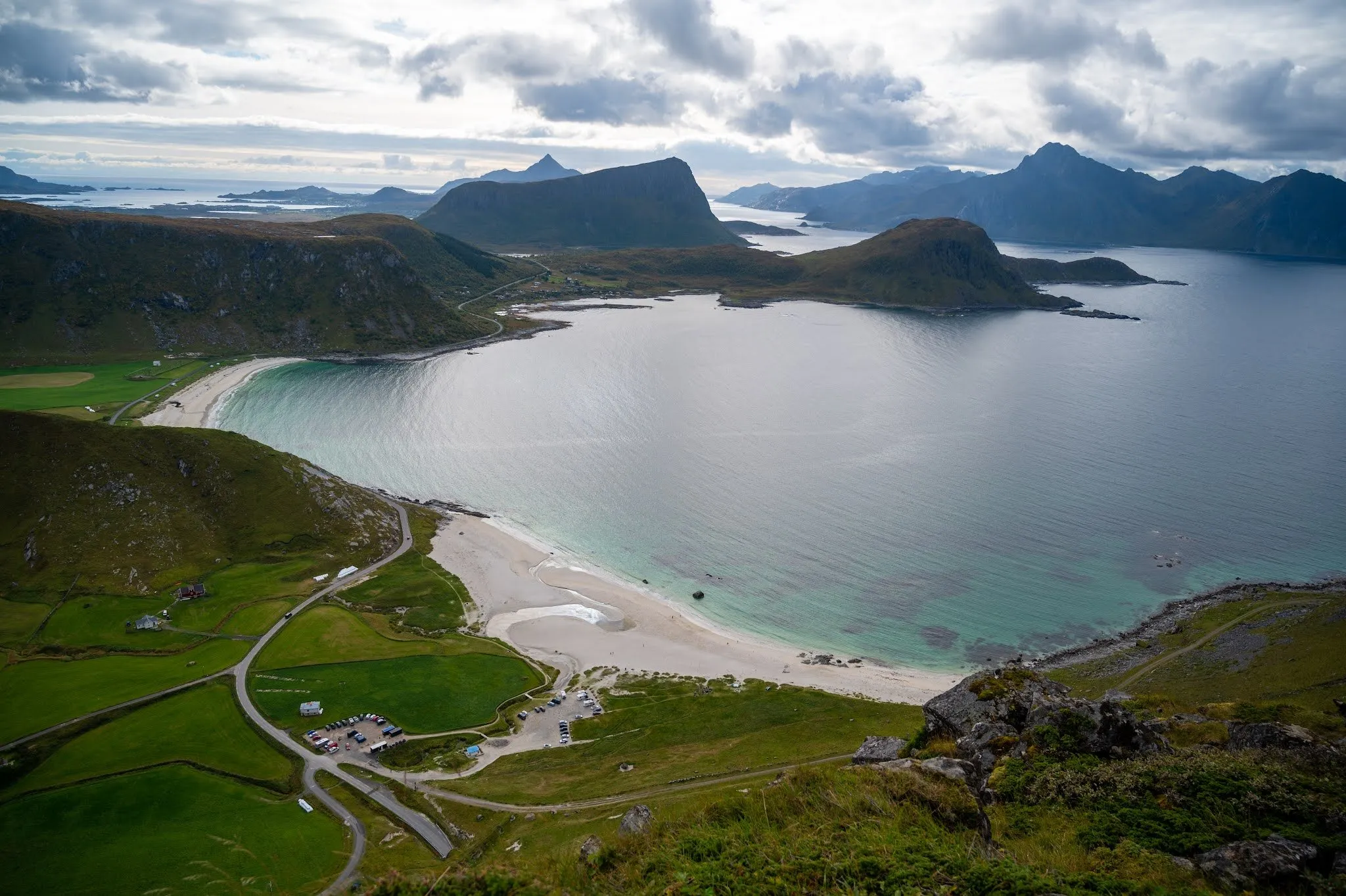
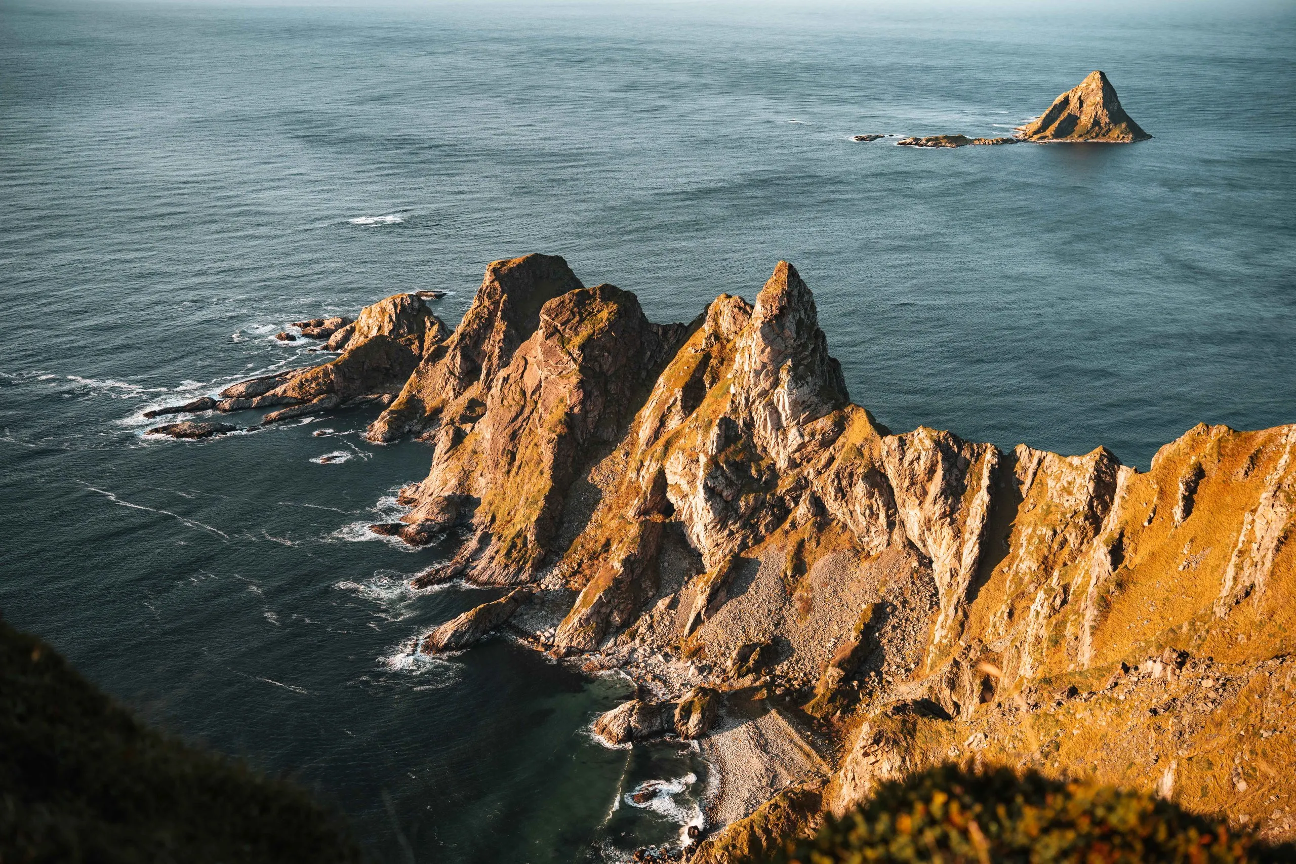
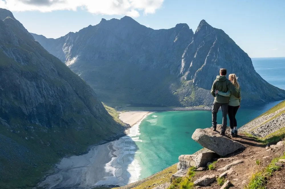
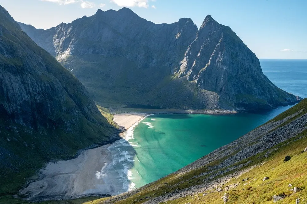
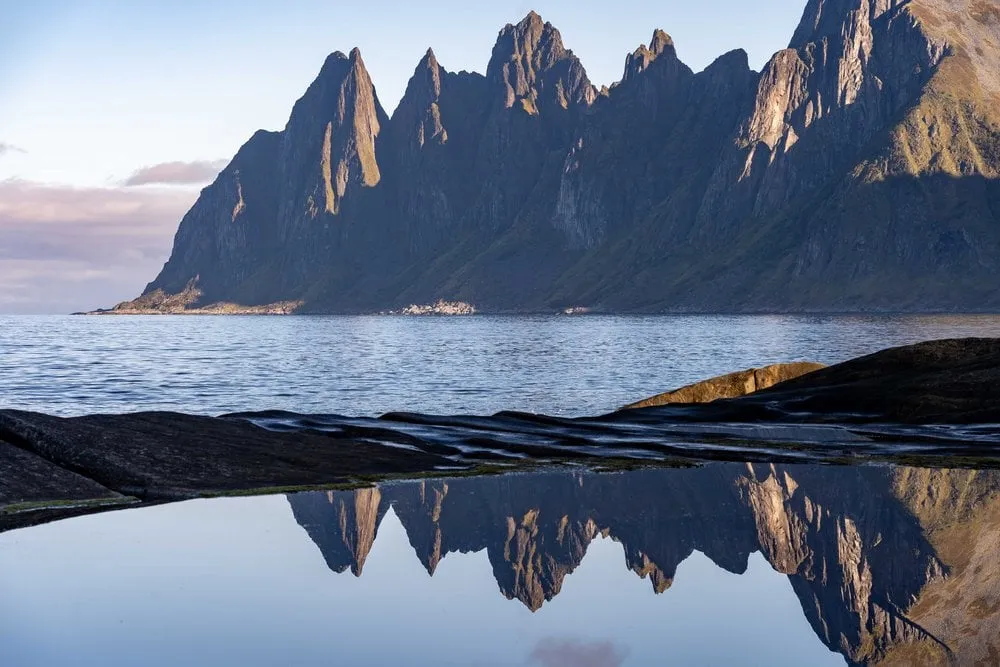
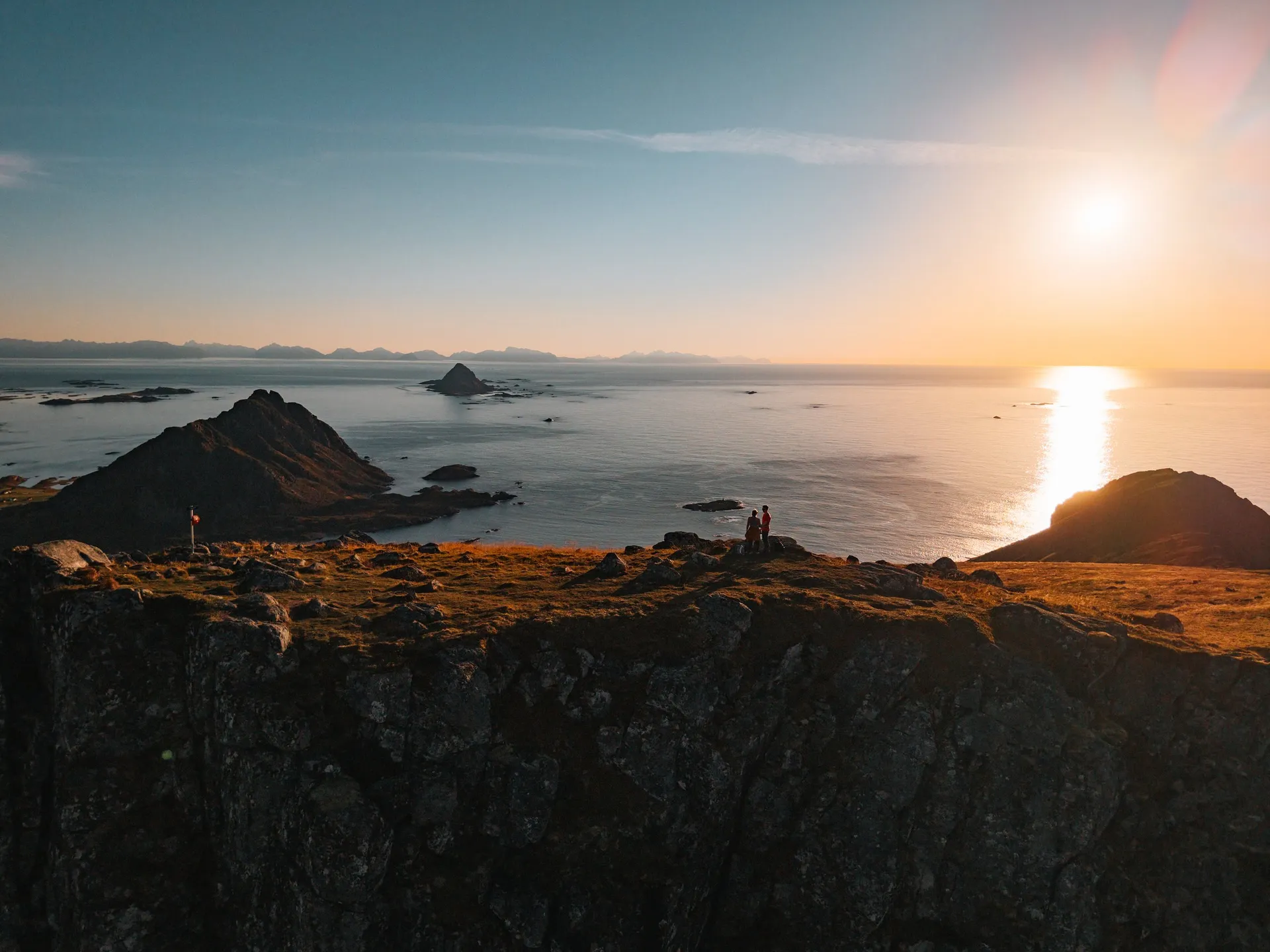
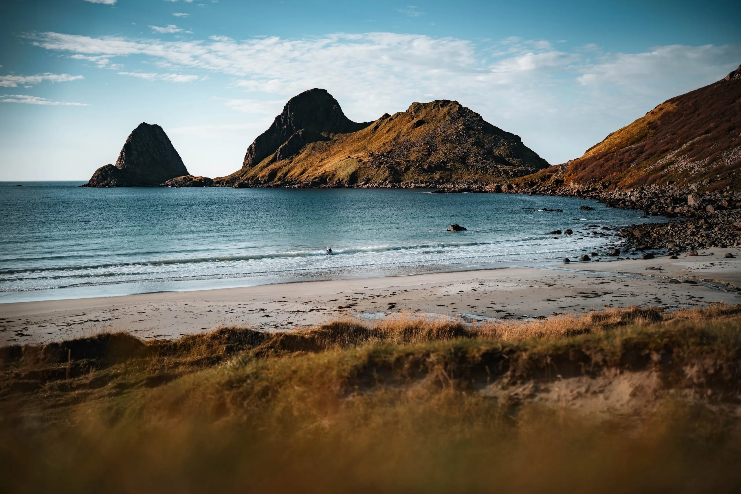
A lonely sandy beach in the bay of Sandvika near Bø. Off the coast the rocky peninsula of Engenyken and the pointed island of Spjøten rise from the sea.
- Country
- Norway
- Latitude
- 68.7570° N
- Longitude
- 14.4733° E
On site
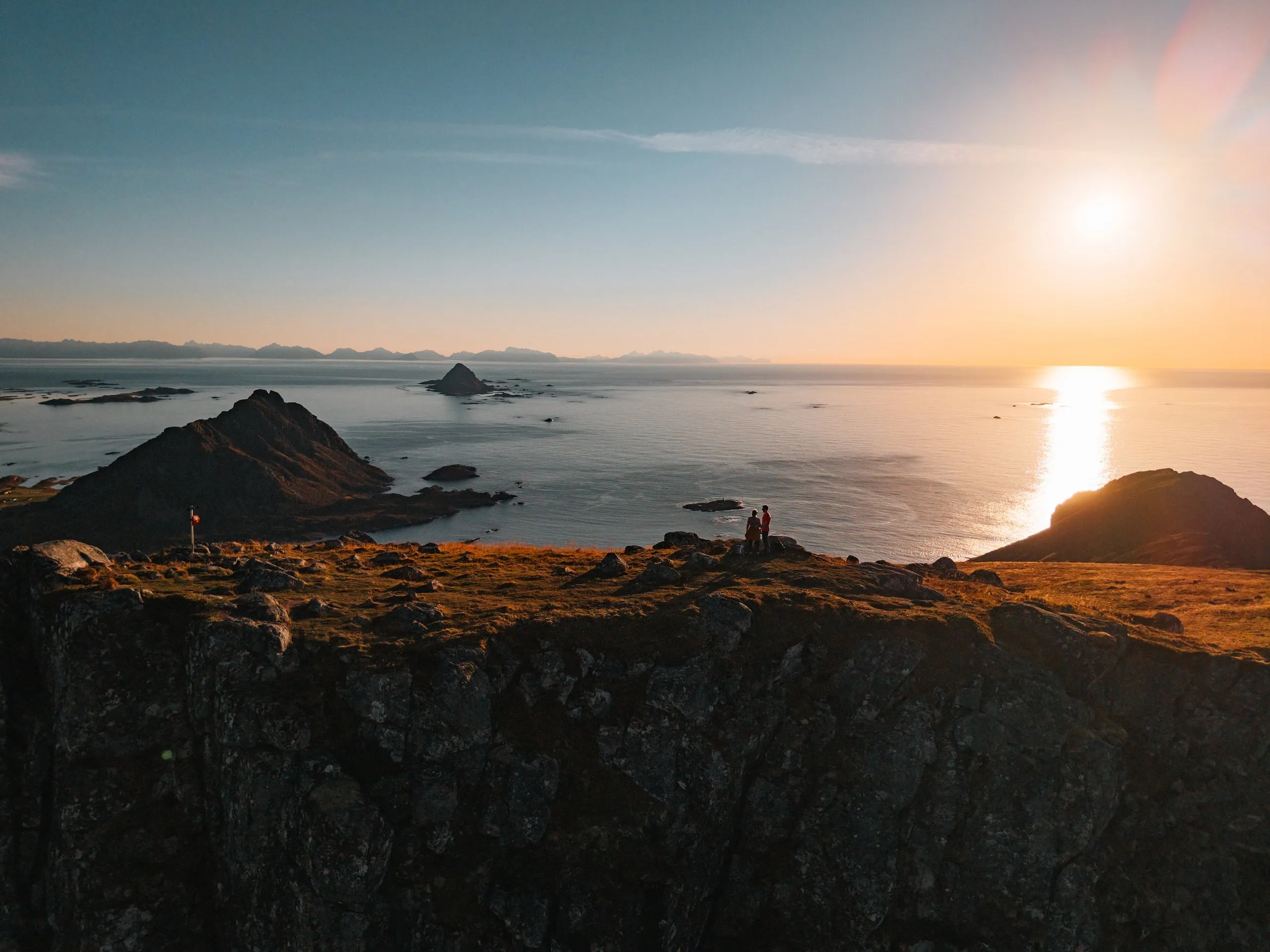
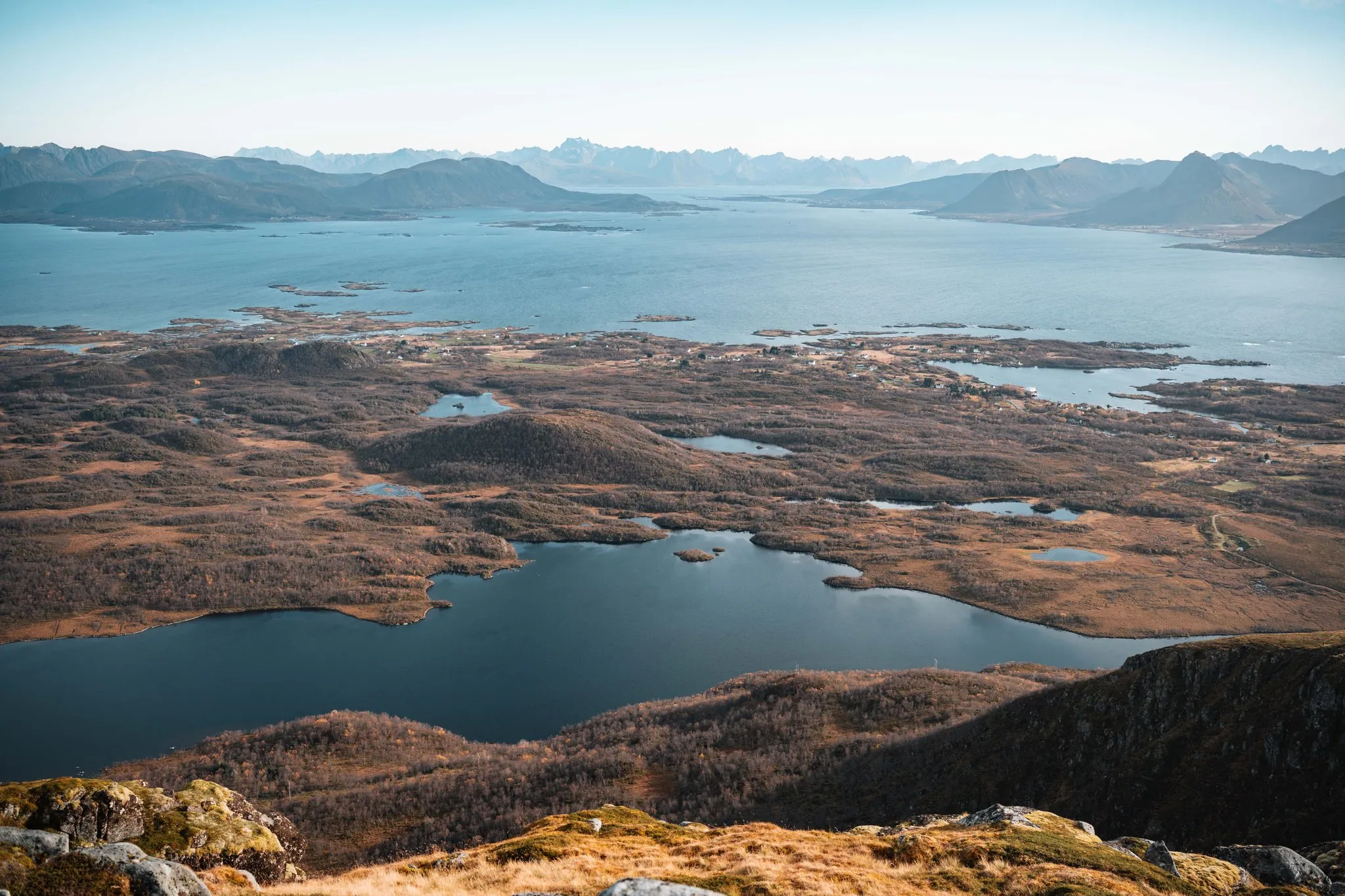
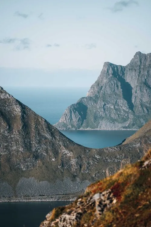
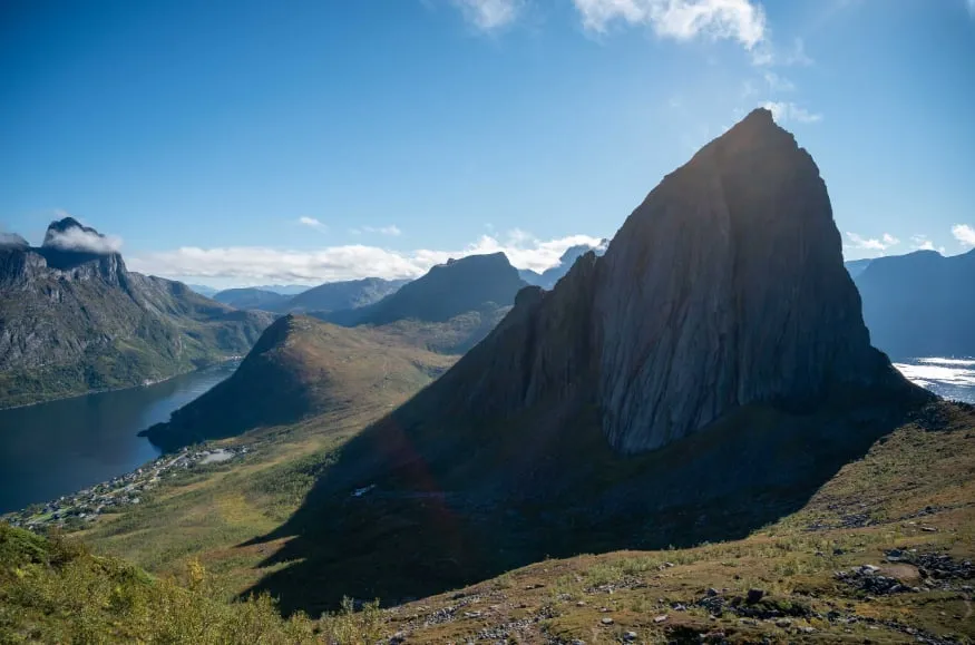
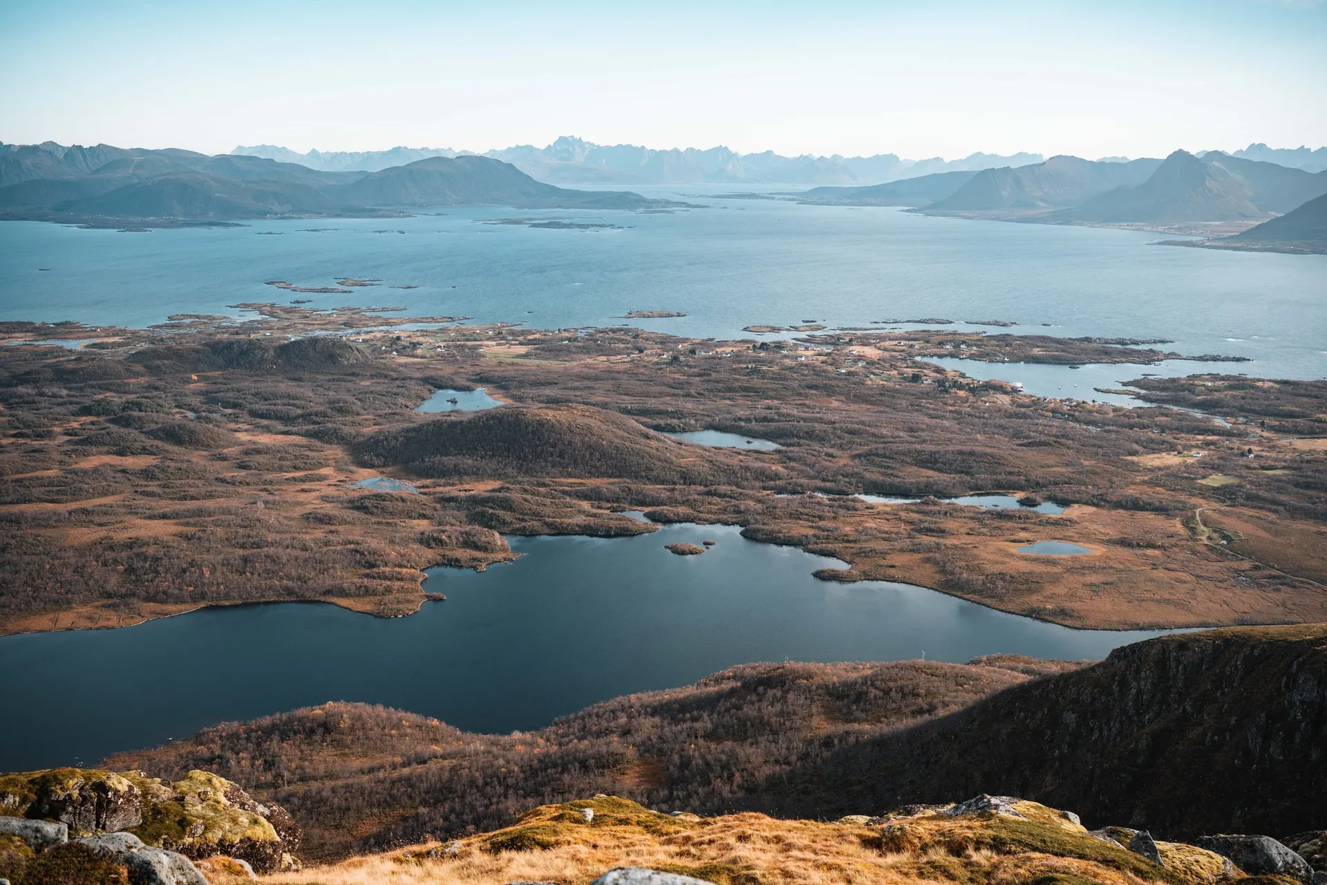
The bay of Sandvika lies in the municipality of Bø on Langøya in Vesterålen, directly below the 210-metre Bufjellet. According to Friflyt, the sandy beach is also called Langsanden. Off the coast, the rocky peninsula of Engenyken with its two dark rock domes and the pointed island of Spjøten rise from the sea.
On 1 October 2026 we park at the Sandvika car park and first climb Bufjellet. According to Friflyt you can park in two places, down by the beach or up on Sandvikhalsen on road 7656. Which of the two it was for us, we did not record. The path up is very easy and short, and at the top the bay lies below us. Nicolas launches the drone right above the summit.
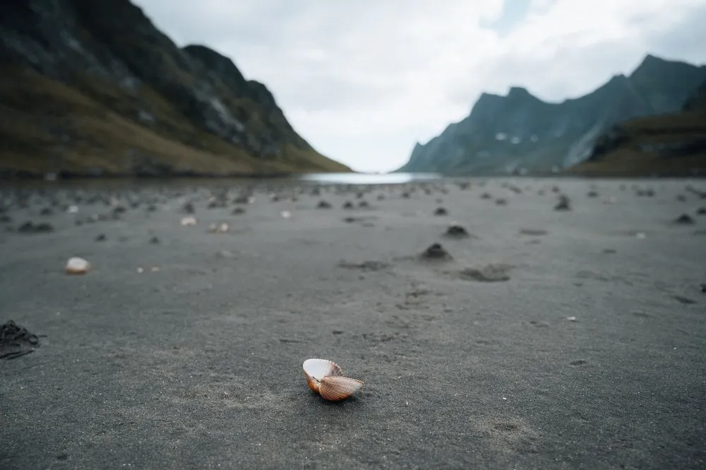
After coming down we go to Sandvika Badestrand. It is extremely beautiful and secluded, there are only a handful of other people here besides us, and someone is surfing in the water. The sun is shining and really warm, so Nicolas even goes for a quick swim. The water is rather cool. Meanwhile Annina walks through the dunes above the beach.
This sends your IP address to the OpenStreetMap Foundation. You can change it any time in the .
Sandvika, Vesterålen 68.7570° N 14.4733° E