69.2425° N 15.8652° E
Måtind, Andøya
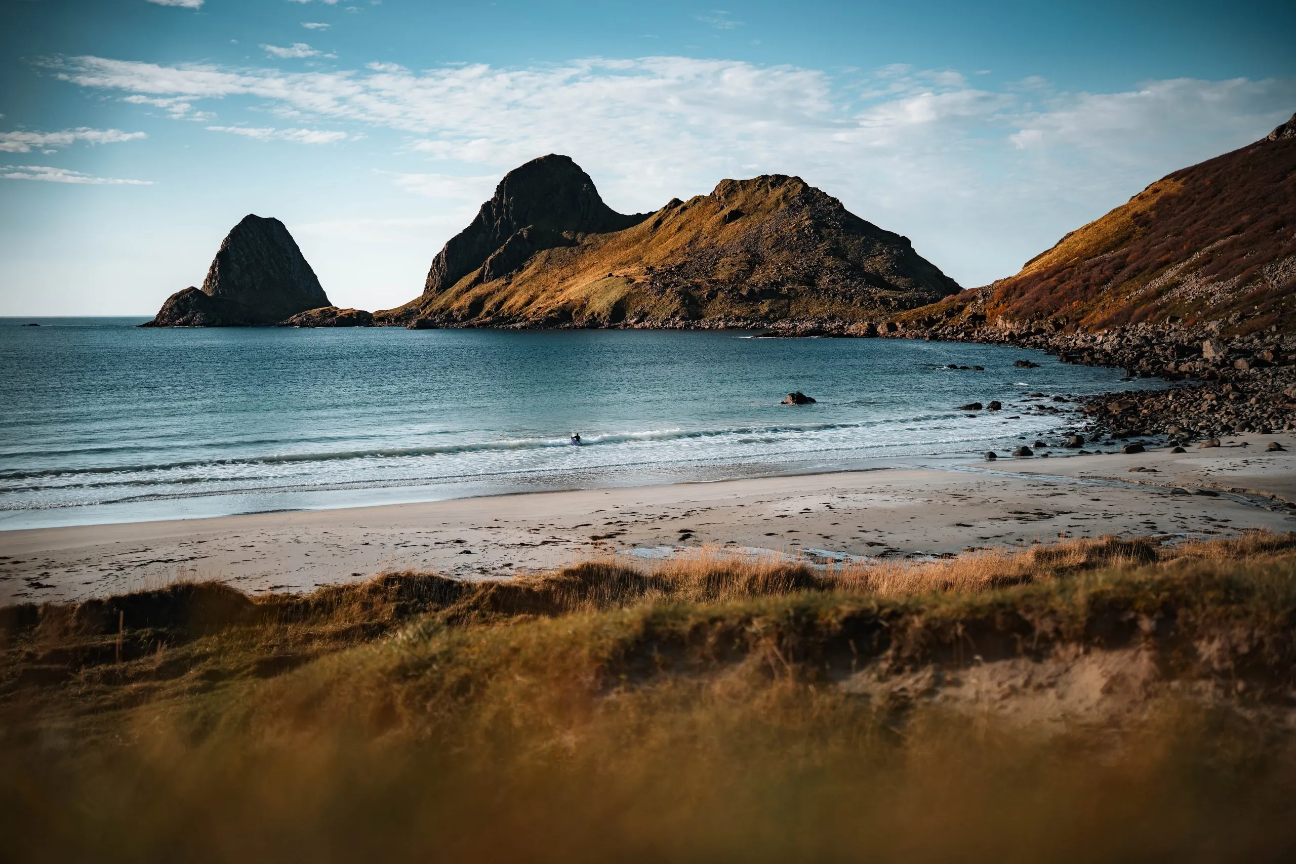
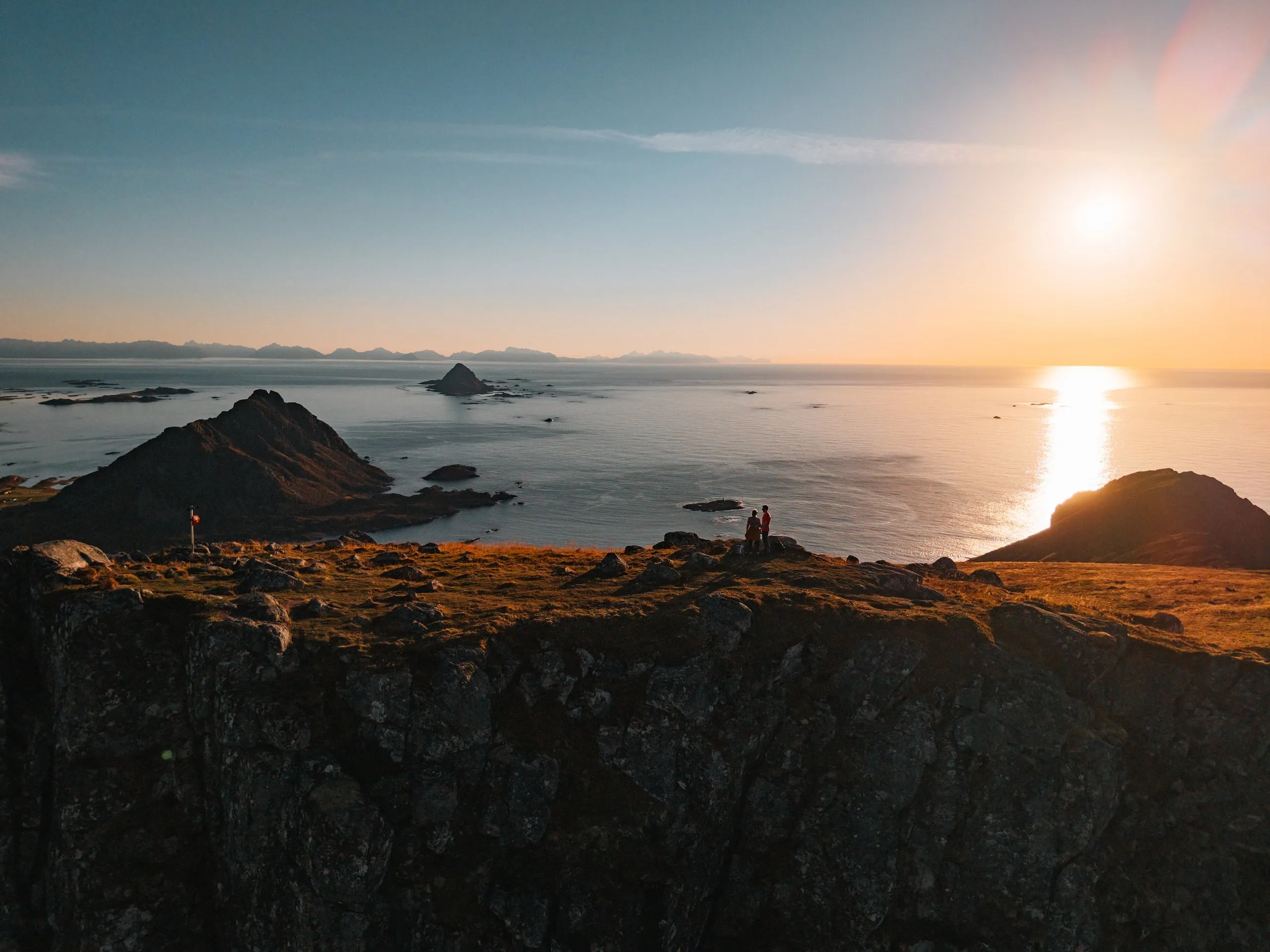
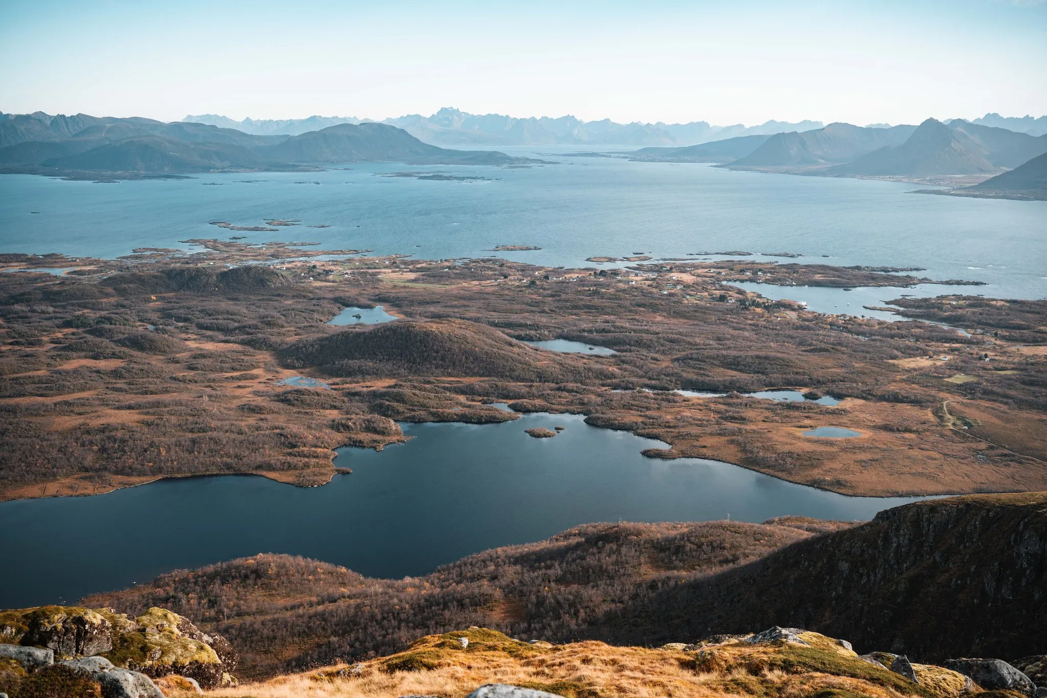
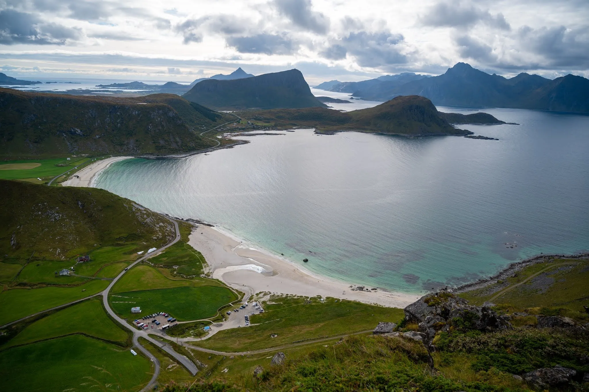
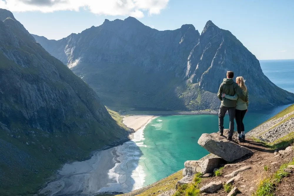
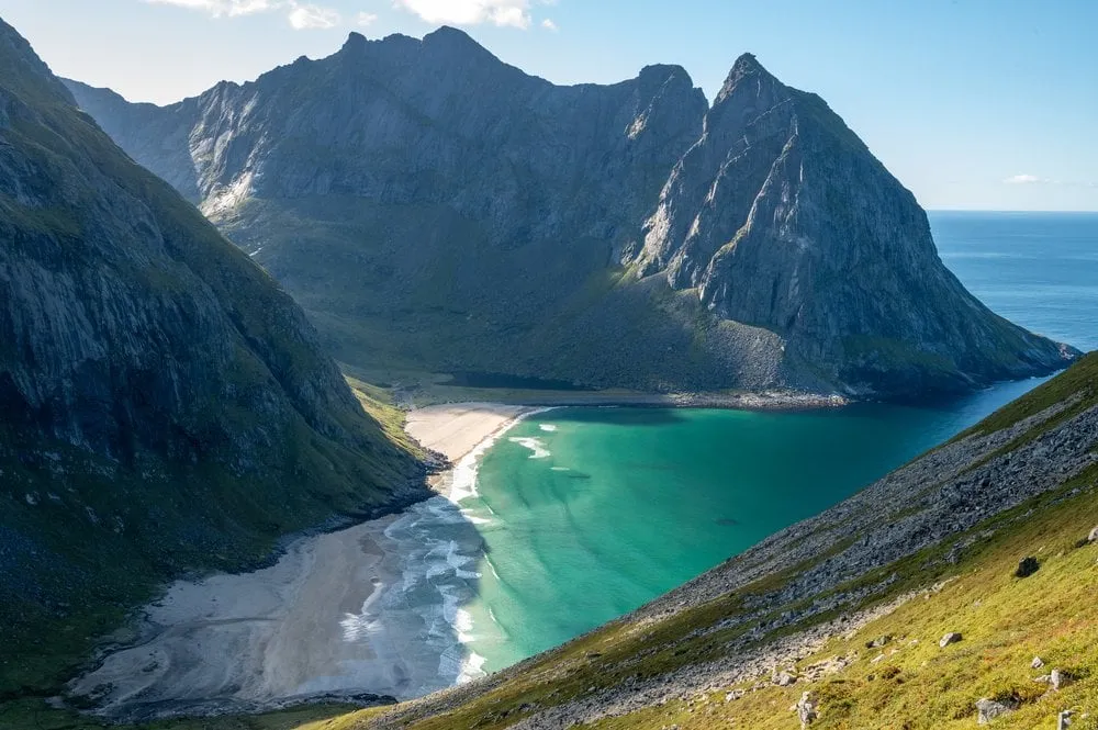
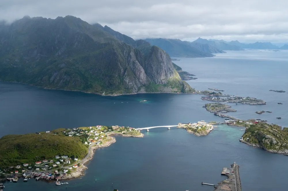
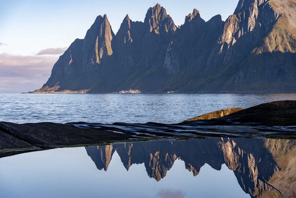
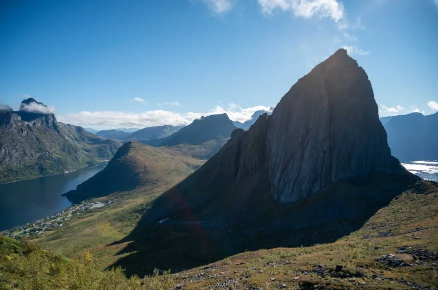
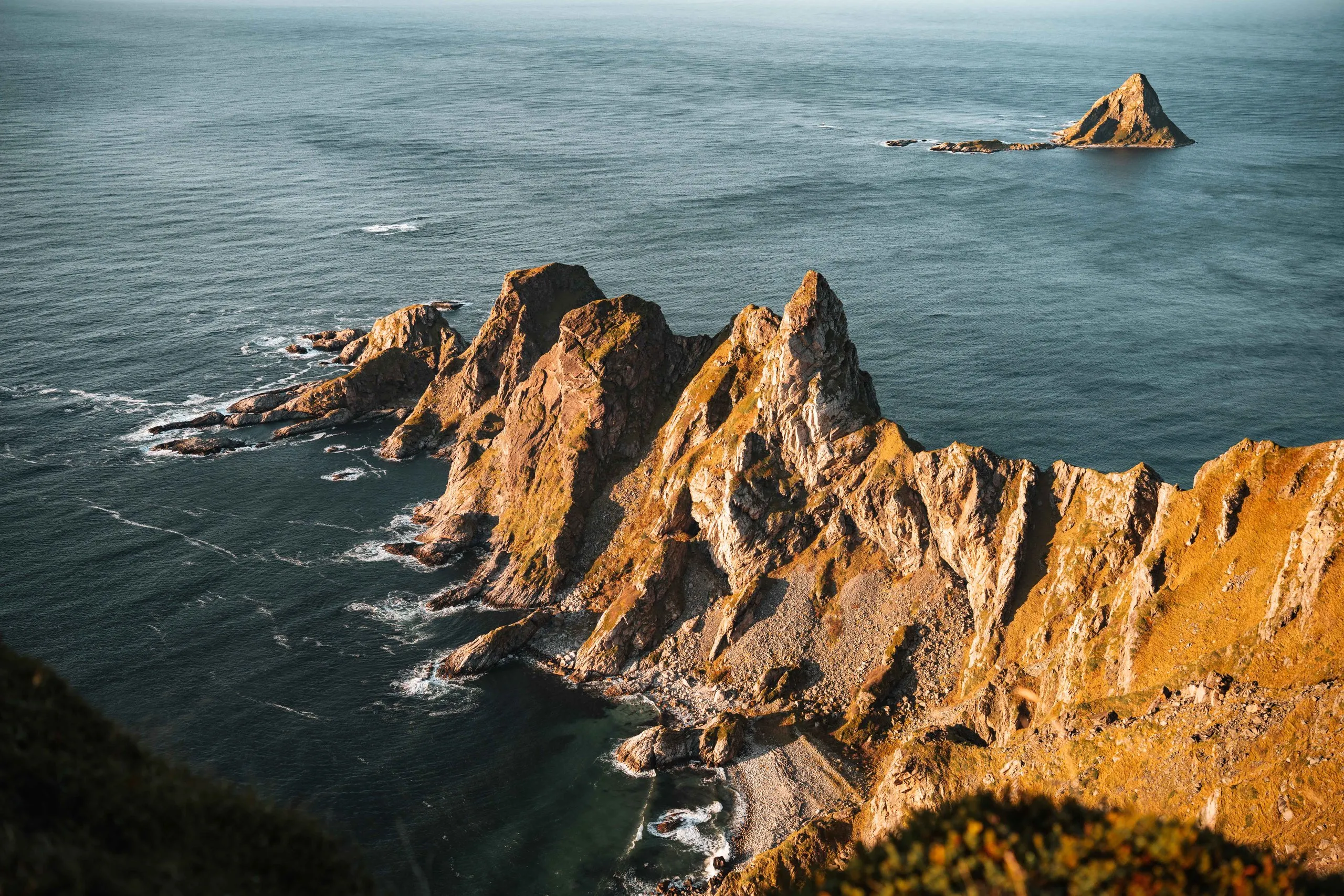
From the 408-metre summit of Måtind you look down on jagged rock ridges, the beach of Bleik and the triangular bird island of Bleiksøya. Pathless in places.
- Best time
- Evenings in clear weather, for the sunset
- Country
- Norway
- Latitude
- 69.2425° N
- Longitude
- 15.8652° E
On site
We hike Måtind on an afternoon at the end of September 2026, after a whale safari in Andenes that morning. For once the weather is really on our side, so we add the hike to our day.
The usual start is the car park at Bauktuva on the road between Stave and Bleik, free according to Outdooractive and with room for up to ten cars. We did not note where exactly we parked. The climb is a typical Norwegian trail. In places we have to scramble and find the way ourselves, and after about an hour and a half we stand on the summit.
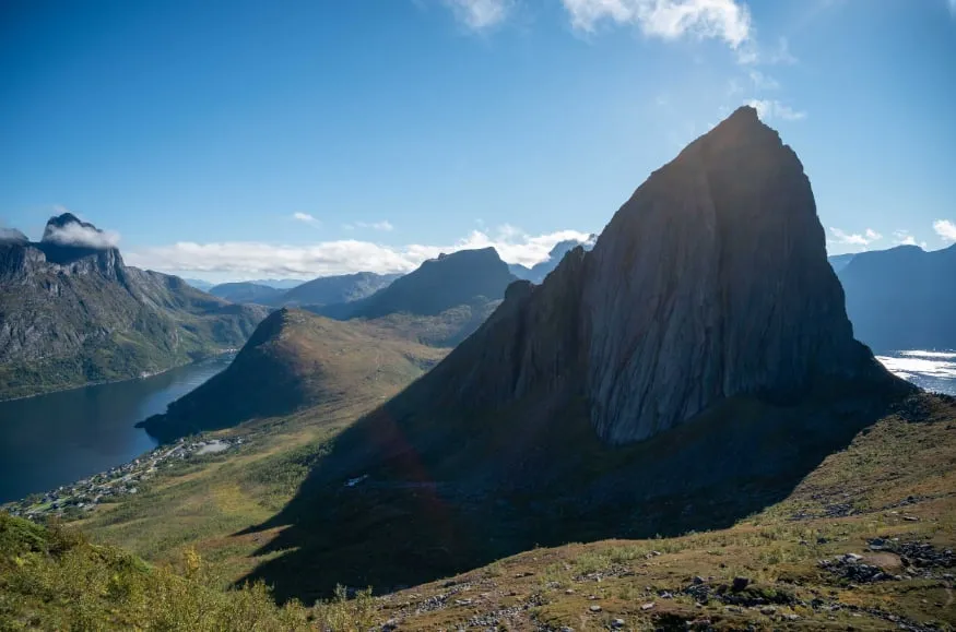
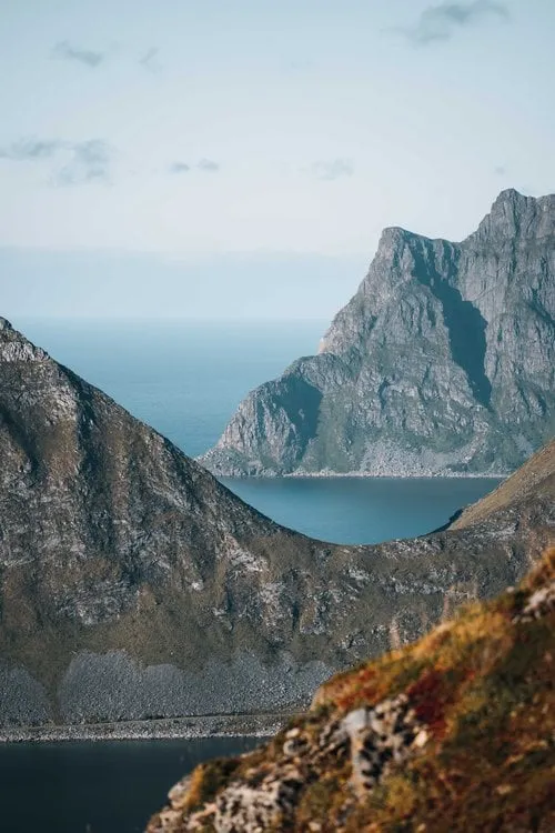
We reach the top just as the sunset light begins. On the left lies the beach of Bleik, on the right an impressive rock formation and behind it the bird island of Bleiksøya. At the top we spot ptarmigan and photograph them against the mountain backdrop. Otherwise we are almost alone, with only the odd person passing by now and then.
We go down the same way, and the descent is trickier than the climb. Nicolas has only packed his sunglasses, and towards the end it gets quite dark. After a short scramble over loose stones we arrive at the bottom safely. If you go up for the sunset, better take a headlamp.
This sends your IP address to the OpenStreetMap Foundation. You can change it any time in the .
Måtind, Andøya 69.2425° N 15.8652° E