67.9785° N 12.9640° E
Bunes Beach, Lofoten
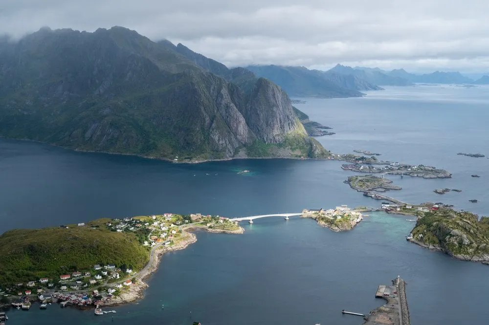
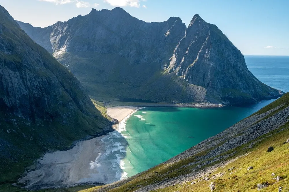
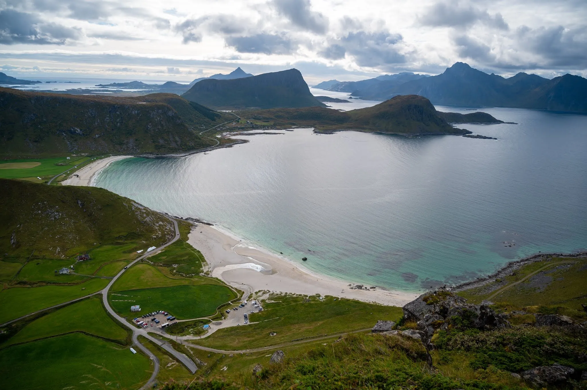
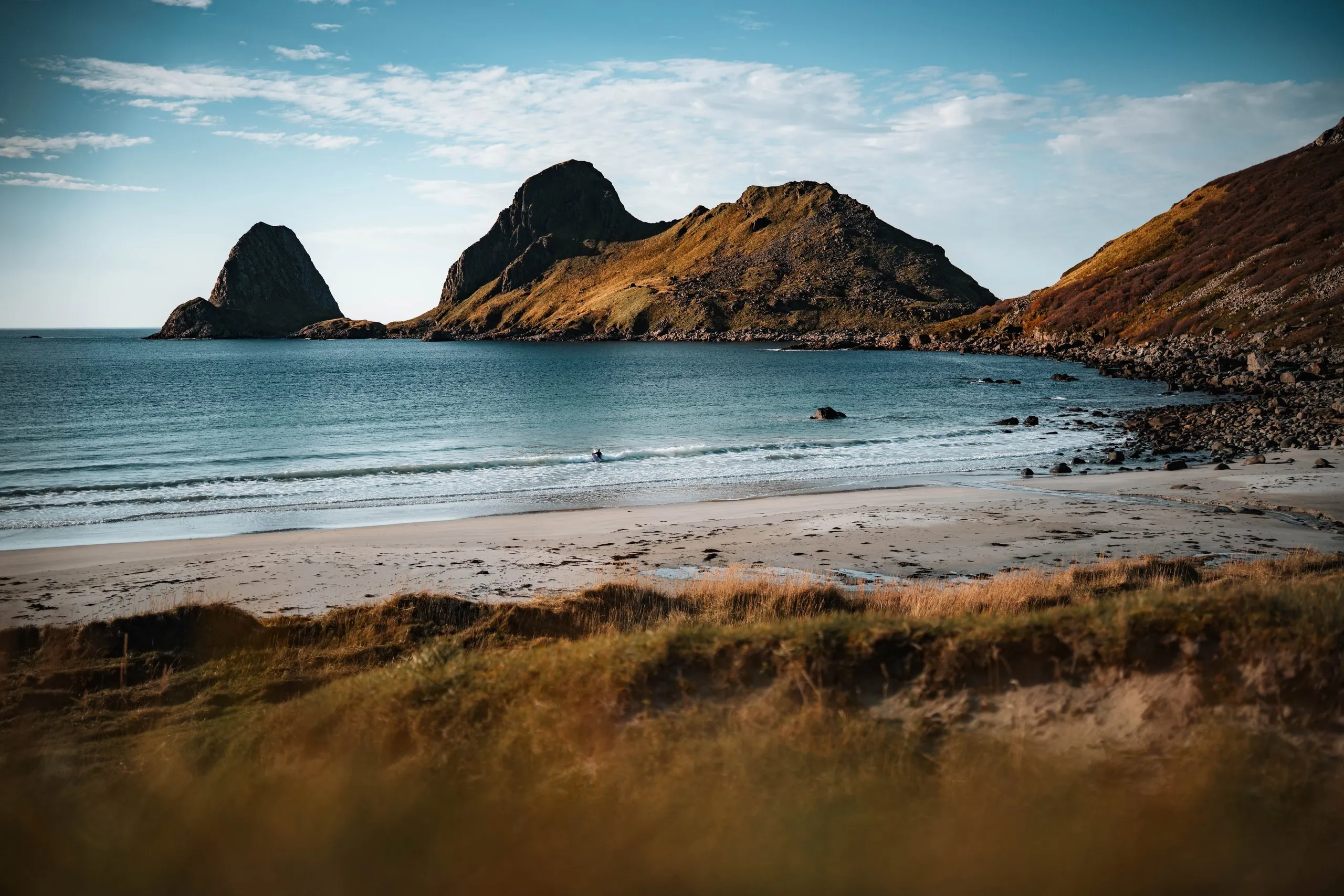
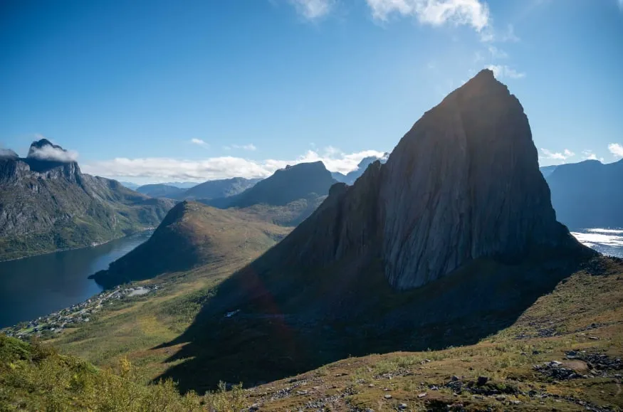
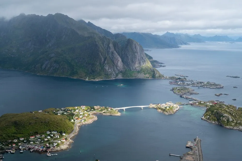
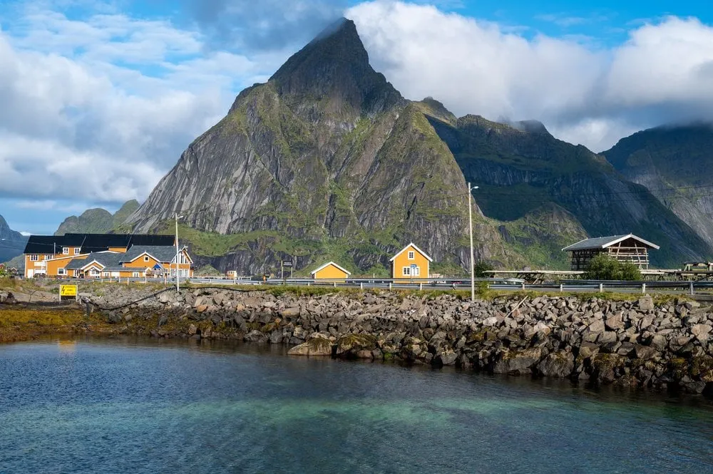
A vast, wild sandy beach at the end of the Reinefjord. The ferry from Reine plus a short walk delivers near-total solitude.
- Best time
- Midnight sun · June to July
- Country
- Norway
- Latitude
- 67.9785° N
- Longitude
- 12.9640° E
On site
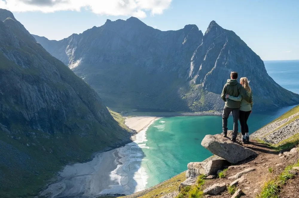
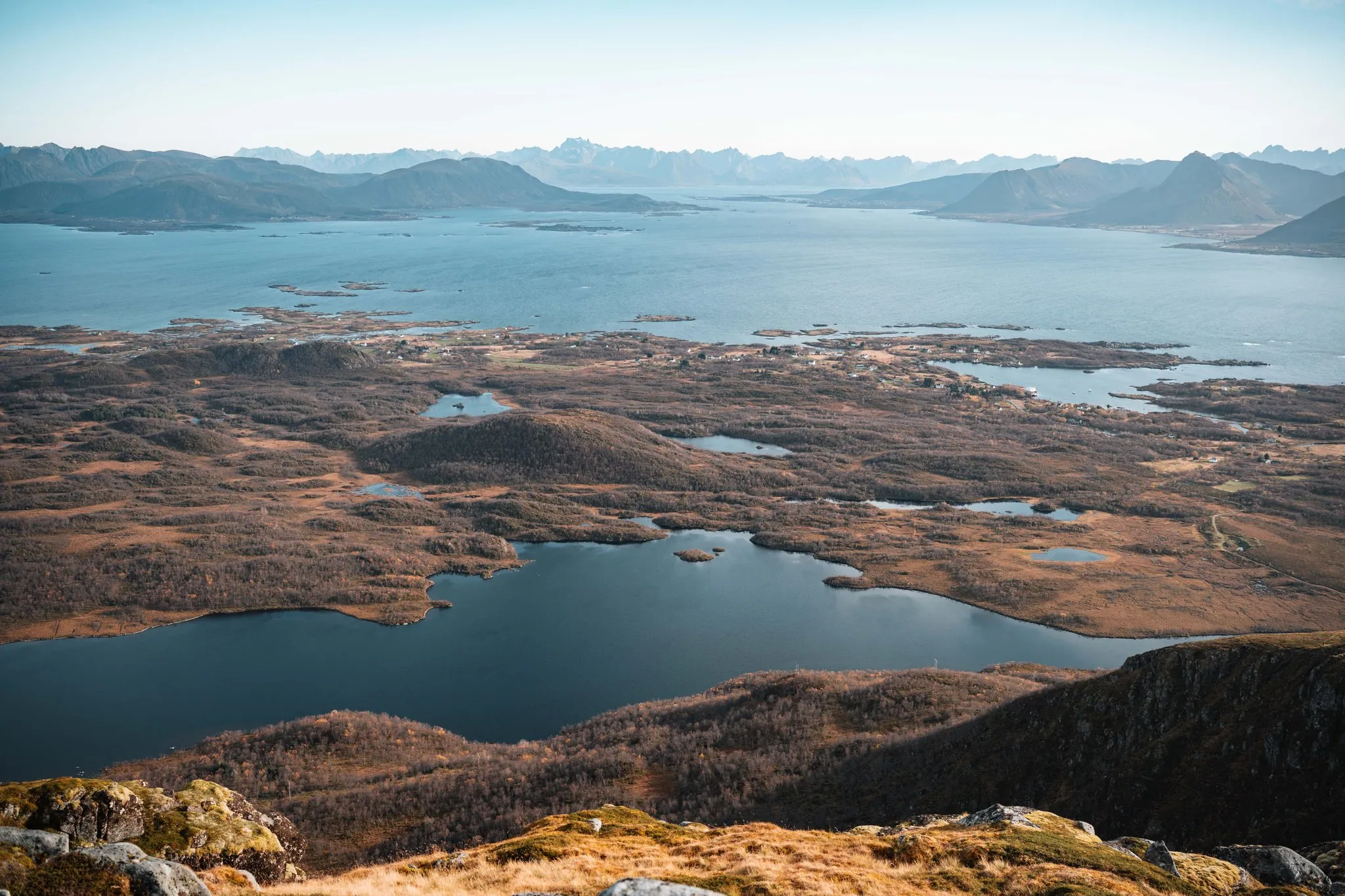
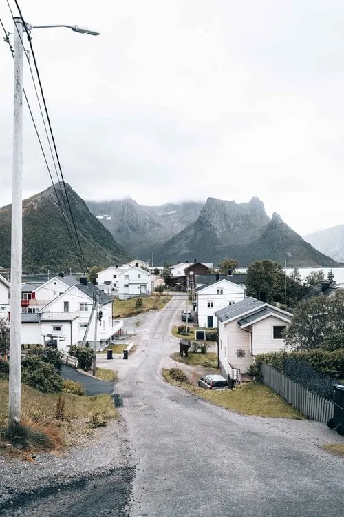
Bunes Beach lies on the north coast of the Lofoten, on Moskenesøya, and no road leads there. We park for free at the short-term car park at the Reine viewpoint, because the parking prices in the centre of Reine are exorbitant, and take the small boat to Vindstad. On our day it only runs twice, and we only just catch it. At the second stop we get off in Vindstad, a village without roads or cars. We follow the signposts and climb on an easy path to a pass. From there you can already see the long, wide beach.
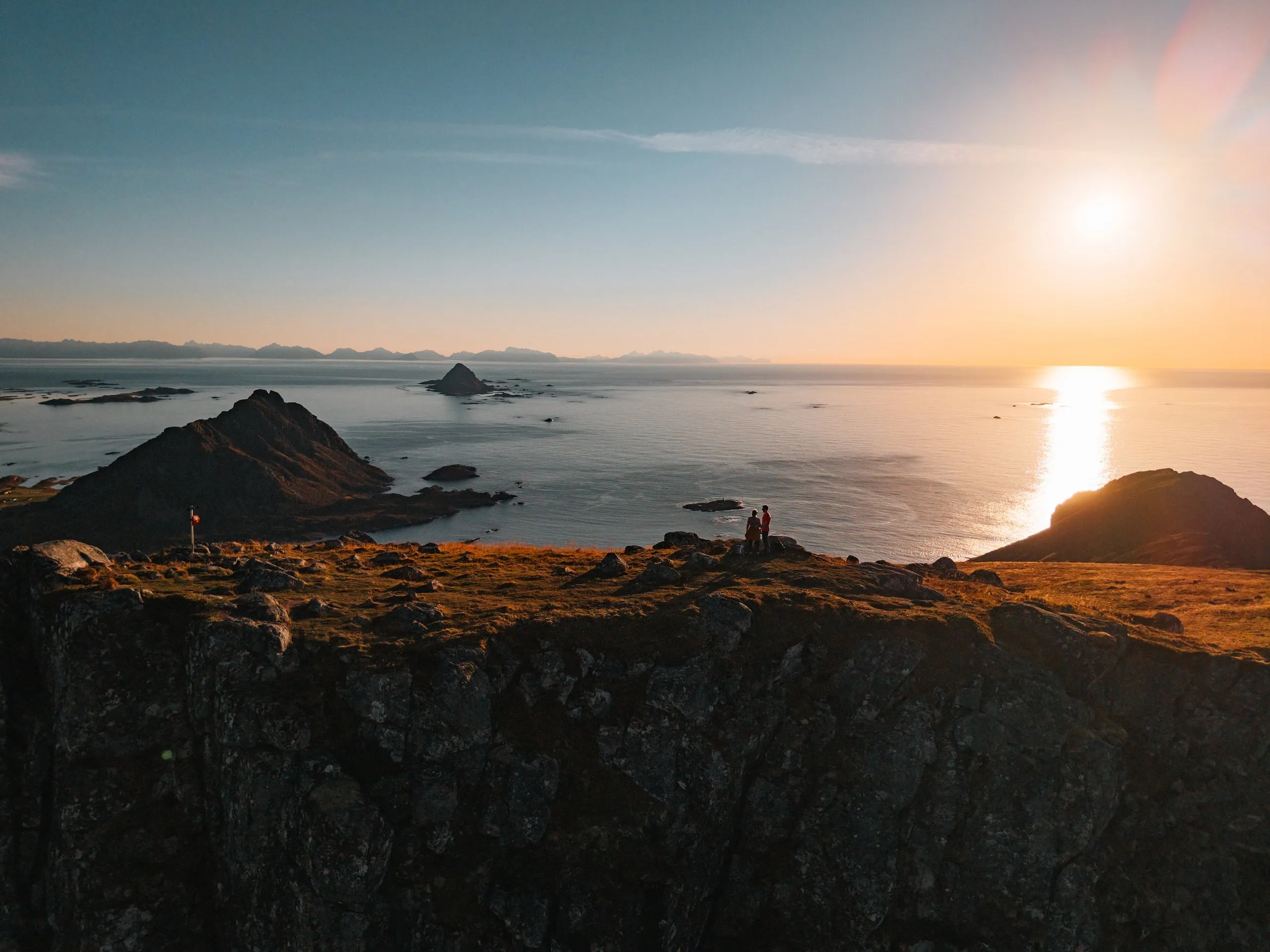
We were here in early September 2022, on a day that was finally supposed to be sunny all day. A few people are camping on the beach, otherwise it is deserted. Nicolas goes for a swim in the icy sea, Annina dips her feet in the water, and then we walk barefoot along the beach. When the sun disappears, it quickly gets cold. We eat our wraps on the pass, looking out over the beach and the sea.
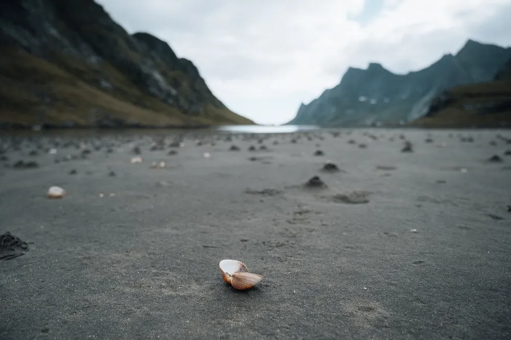
The photo of the single shell in the dark sand is taken on the way back, on a huge beach full of shells. We did not note exactly where it is. Annina hardly wants to leave, but only one more boat goes back to Reine that day. We did not write down how long we were out. By our track it is 5.8 km there and back with just under 150 metres of ascent. The beach lies in Lofotodden National Park, and according to Visit Lofoten drones are banned there.
This sends your IP address to the OpenStreetMap Foundation. You can change it any time in the .
Bunes Beach, Lofoten 67.9785° N 12.9640° E