Norway
Fjords, the Lofoten, the Atlantic Road: Norway has become our photographic home. All posts, photo spots and routes in one place.
- Posts
- 58
- Photo spots
- 28
- Travel years
- 2021, 2022, 2024, 2026
- Latest
- 04/10/26
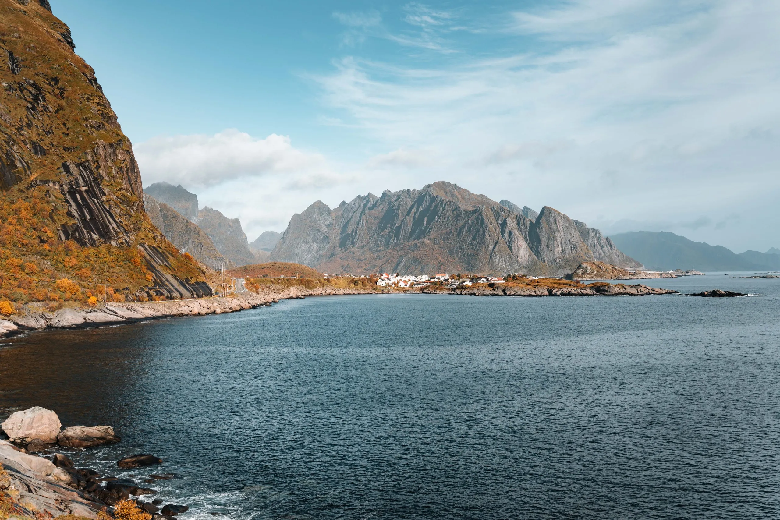
No country has shaped our photography like Norway. Between the western fjords, the Atlantic Road and the Lofoten Islands in the north, there are enough scenes for a photographer’s lifetime, and we’ve only just started.
This page collects everything from Norway: Our posts, photo spots with coordinates, and the routes that have proven themselves.
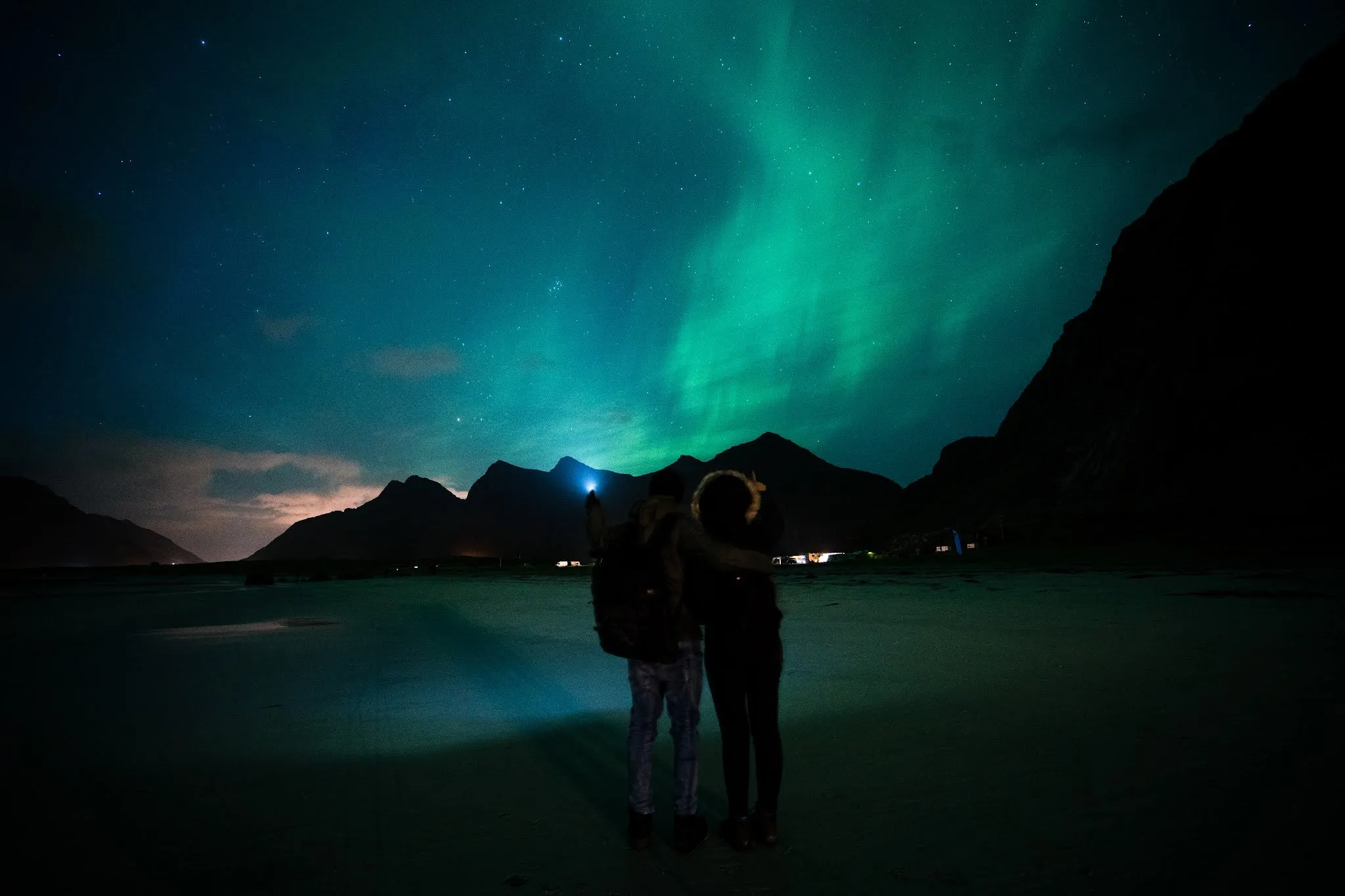
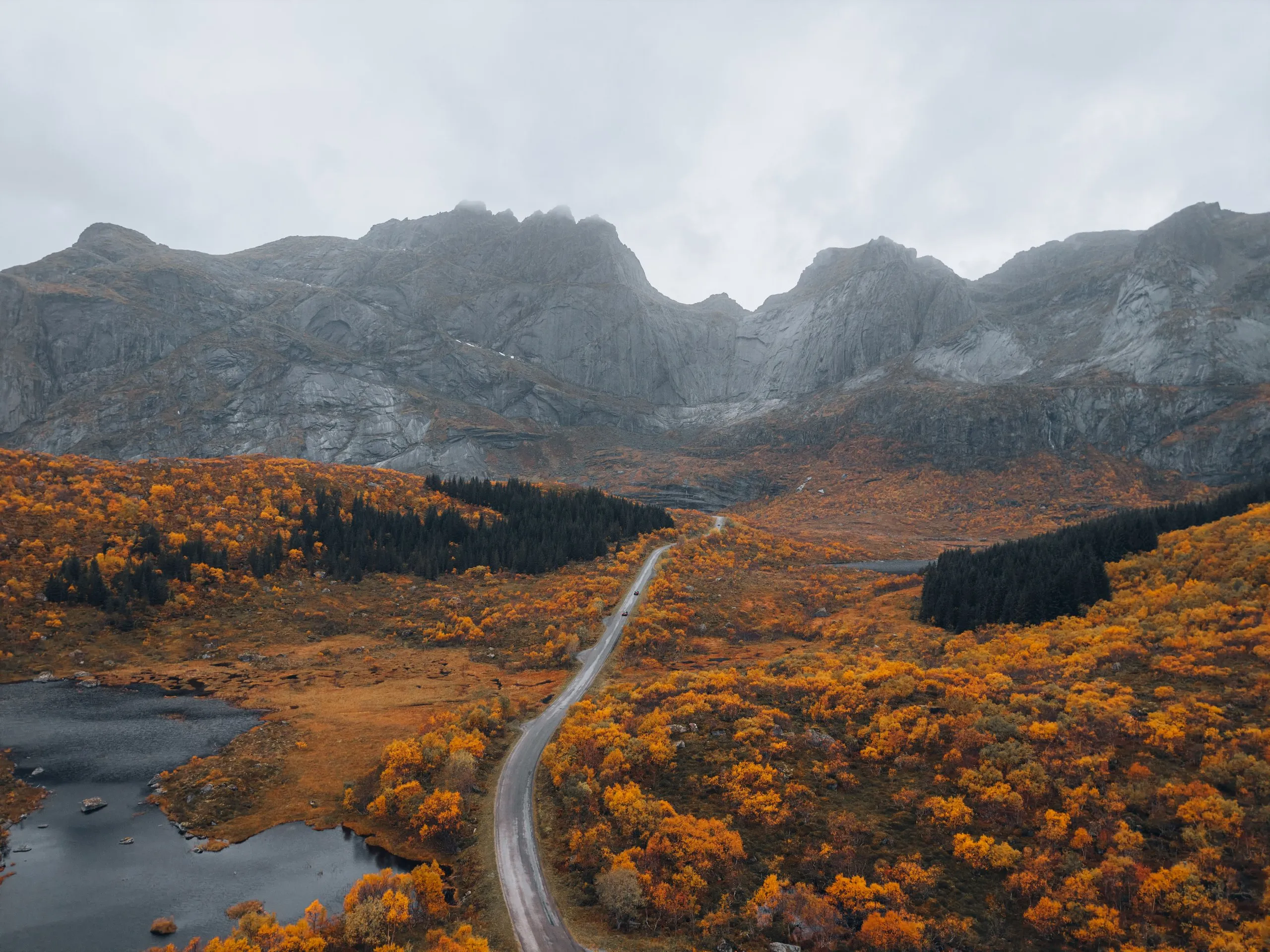
In September 2021, after three days in Oslo, we spent two weeks on the Lofoten Islands, with Reine, Sakrisøy, Nusfjord, Kvalvika and northern lights over the mountains.
- Photo spot
- Stage
- Route (straight line)
This sends your IP address to the OpenStreetMap Foundation. You can change it any time in the .


57 stages as a list
Posts from Norway
· 3 min
Straumsjøen - Evenes - Oslo - Basel
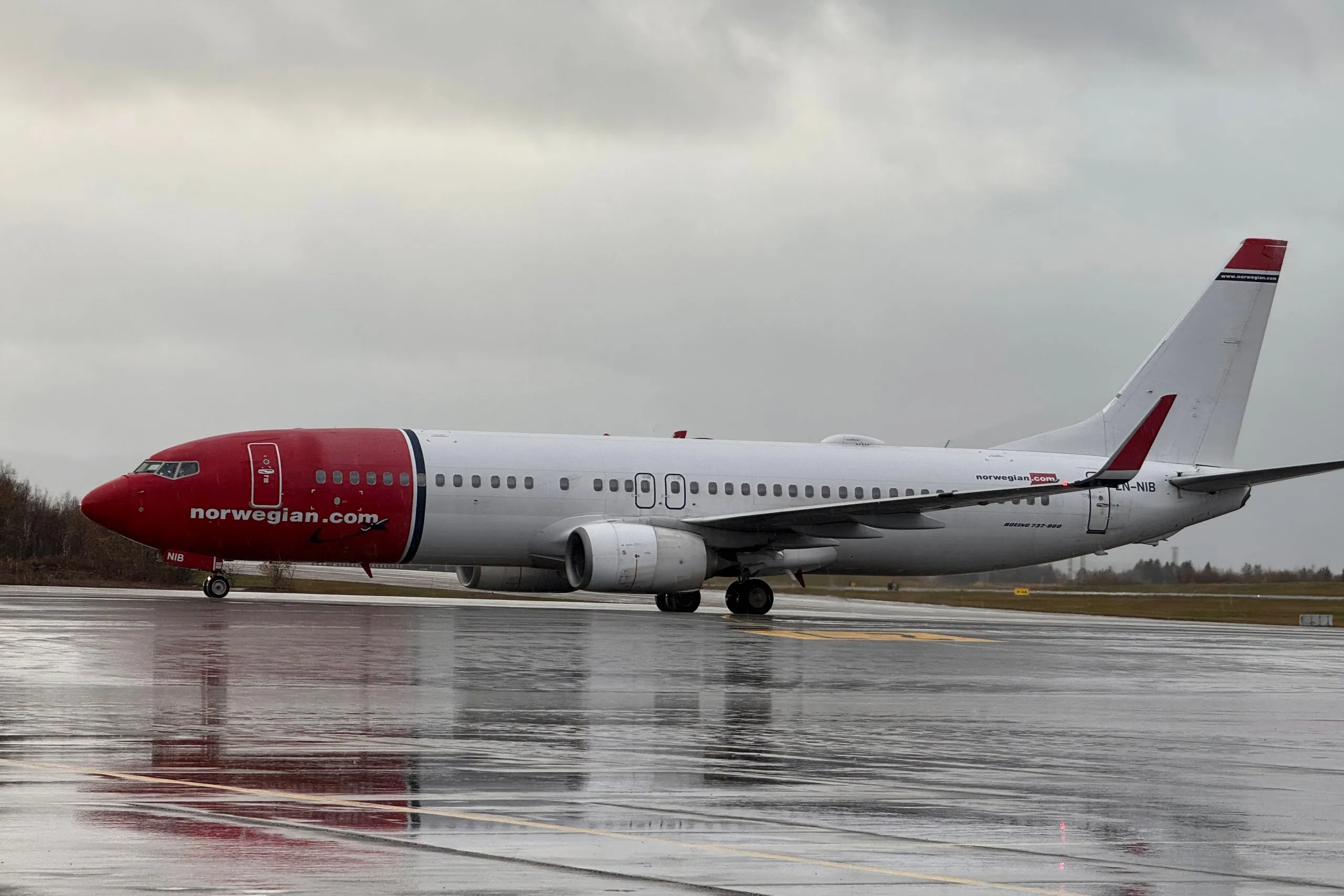
On the last day of our trip we eat a cinnamon bun for Cinnamon Bun Day, drive on a road that only Google thinks is closed and fly via Oslo to Basel.
· 6 min
“How did you end up here?” - Hike up Vetten
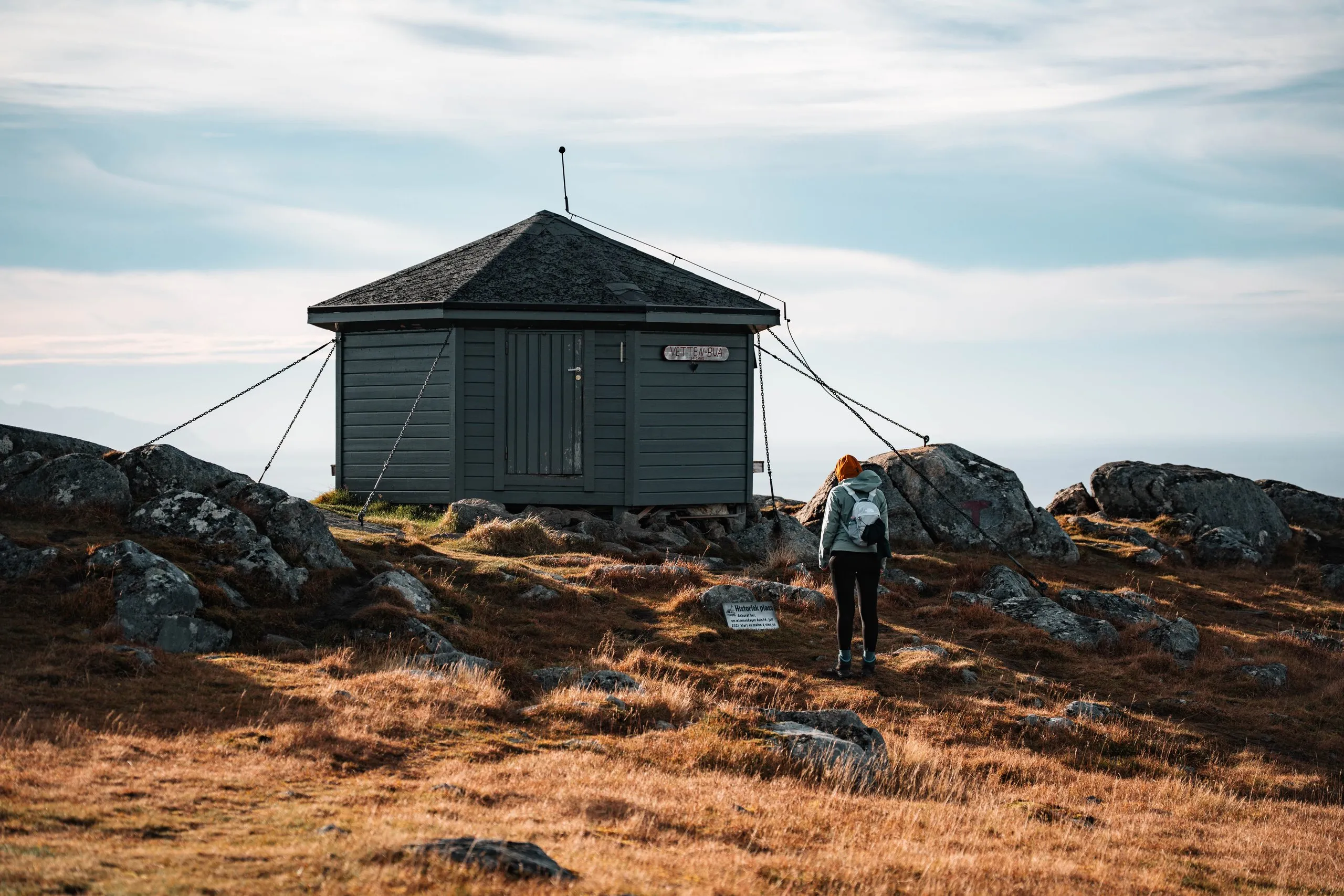
On Vetten near Bø we hear shots, meet two friendly locals, see as far as Lofoten and find a hut with a funny sign.
· 3 min
Rainy Day and Coastal Trail in Straumsjøen
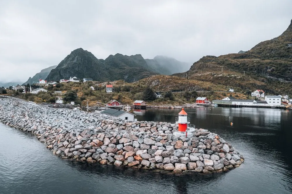
We watch the sun rise over Straumsjøen, stay indoors in the rain and, between two showers, walk the Coastal Trail to the lighthouse at Vikan.
· 8 min
Sandvika and Skårvågsfjellet
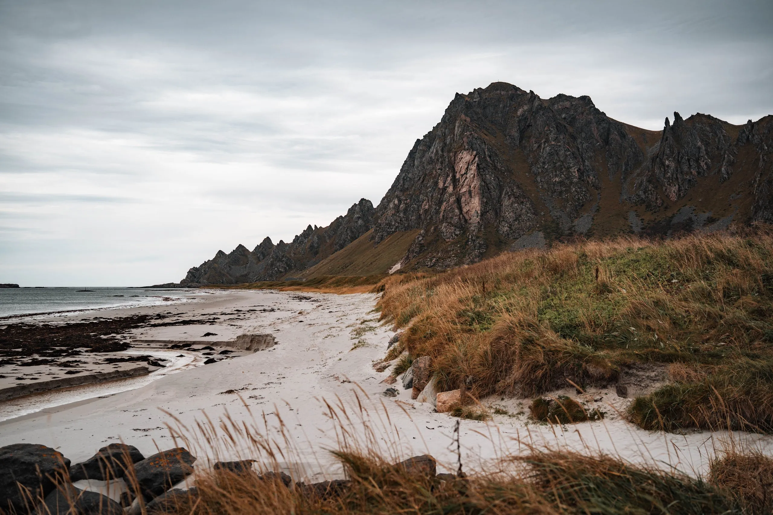
We visit the sandy beaches near Hovden, climb Bufjellet above Sandvika and hike up Skårvågsfjellet in T-shirts. At night we see northern lights.
· 8 min
Whales, waves and Måtind in the last light
After a detour around all of Andøya we take a RIB boat out to the sperm whales off Andenes, climb Måtind in the afternoon and come down by moonlight.
· 3 min
Rainy day in Nøss
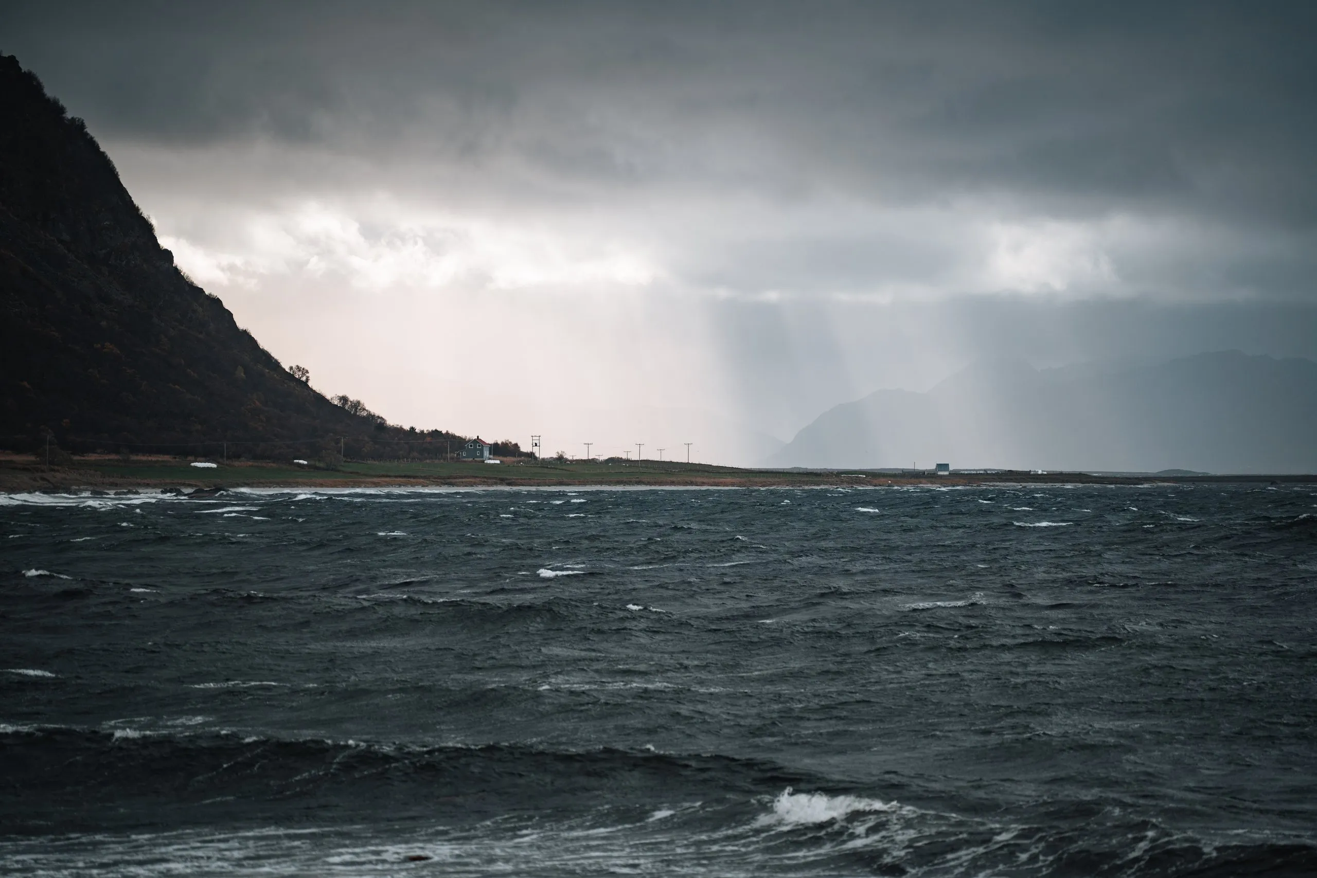
Rain and storms all day: We stay in Nøss, rebuild the blog, walk to the beach during a short dry spell and cook fajitas in the evening.
· 4 min
Lighthouse and Whale Museum in Andenes
Ahead of the storm we drive to Andenes, marvel at the spaceport and research stations on Andøya, stop at Bleik beach and see skeletons in the whale museum.
· 2 min
Sandtorg - Nøss
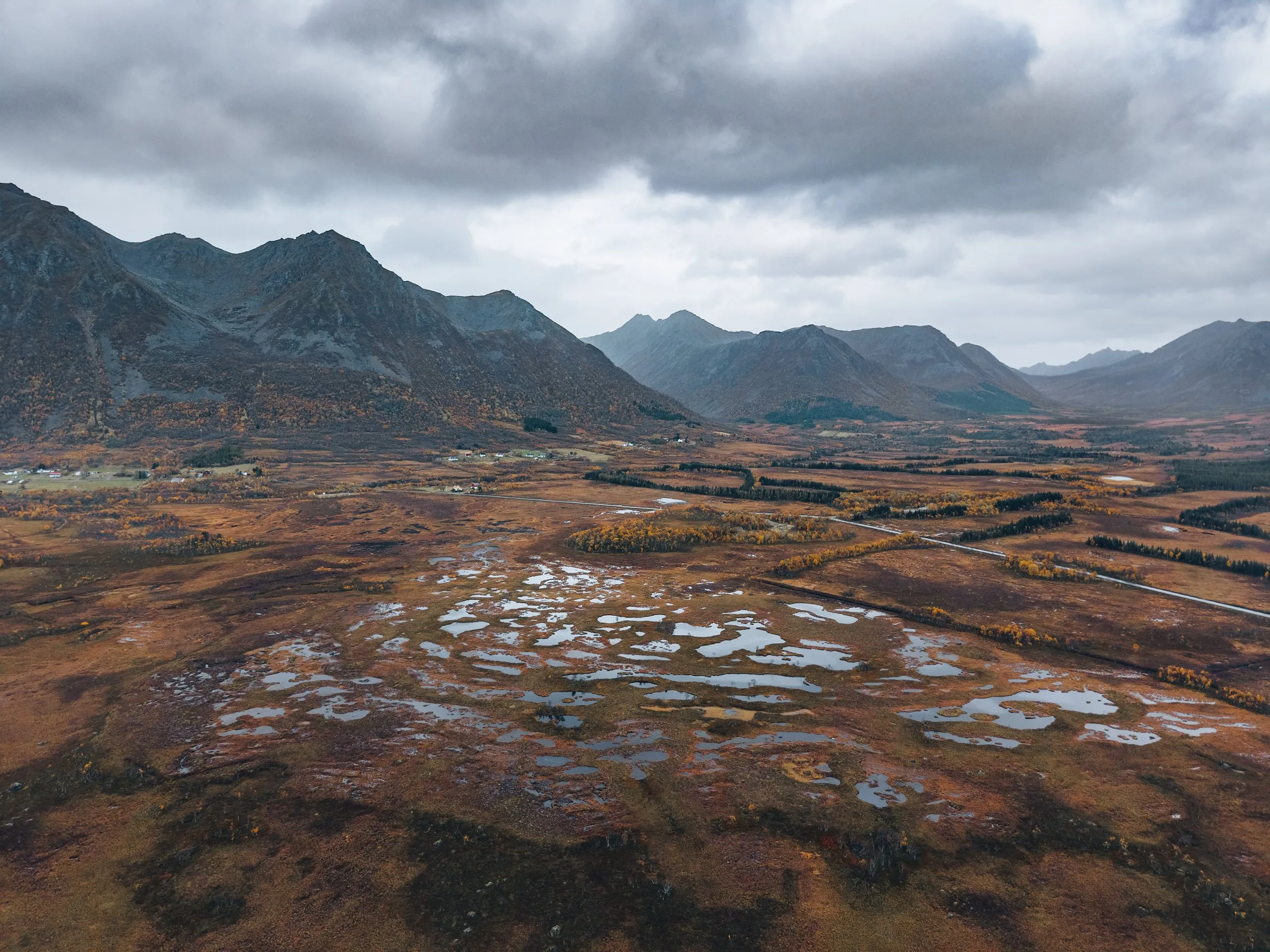
In the rain we drive to Andøya, fly the drone over reddish-brown moorland, charge at a Tesla Supercharger and stay in a photographer's Airbnb in Nøss.
· 3 min
Henningsvær - Sandtorg
A long travel day: Pizza and aubergines in Henningsvær, a burning lorry, veggie burgers at a petrol station and a Western-themed hotel.
· 2 min
A Rainy Day in Sakrisøy
Sleeping in after a night of northern lights, an antique shop and the ochre rorbuer of Sakrisøy in the rain, then a fire, leftovers and packing.
· 4 min
Reinebringen and Northern Lights
In sunshine up 1976 steps to Reinebringen, cinnamon buns in Sakrisøy, evening light on Rambergstranda and at night northern lights right by our Airbnb.
· 4 min
Offersøykammen and Evening Light in Ramberg
Up Offersøykammen in drizzle, autumn colours on the road to Nusfjord, and in the evening red light over the beaches of Flakstad and Ramberg.
· 2 min
Autumn Hike to Kvalvika Beach
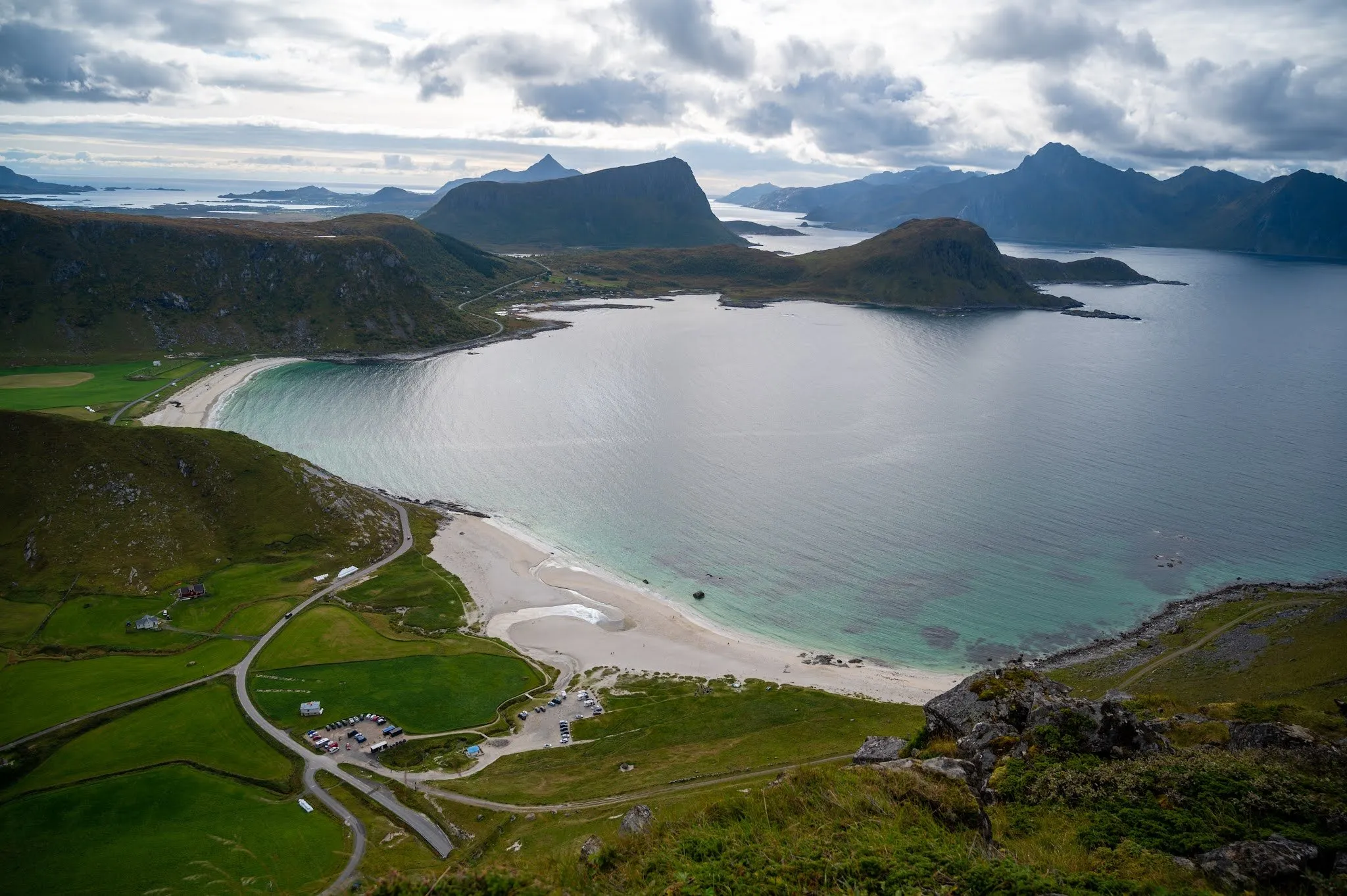
Through mud and wind to a view of Kvalvika Beach, red berries amid orange autumn colours, then a stormy afternoon in the cabin and two gratins for dinner.
· 3 min
Rainbows in Nusfjord and Fredvang
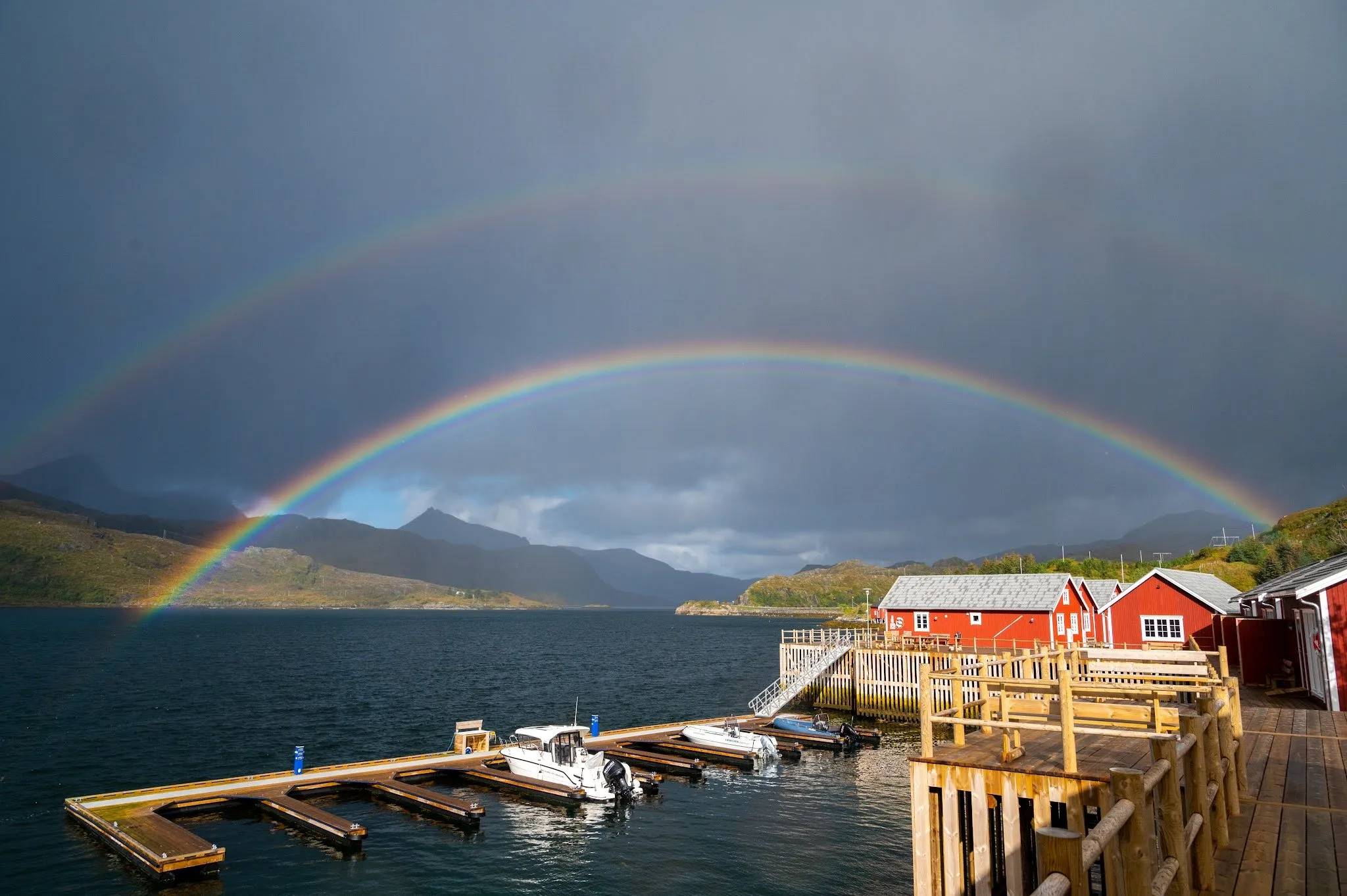
A rainy day in the Lofoten with lots of rainbows: Cinnamon buns and carrot cake in Nusfjord, a rainbow over the beach at Fredvang and Rummikub in the evening.
· 3 min
Bodø - Å - Ramberg
By electric Ford Explorer and ferry to Moskenes, then to the end of the world in Å and in the evening to our most beautiful Airbnb yet, near Ramberg.
· 2 min
Basel - Bodø
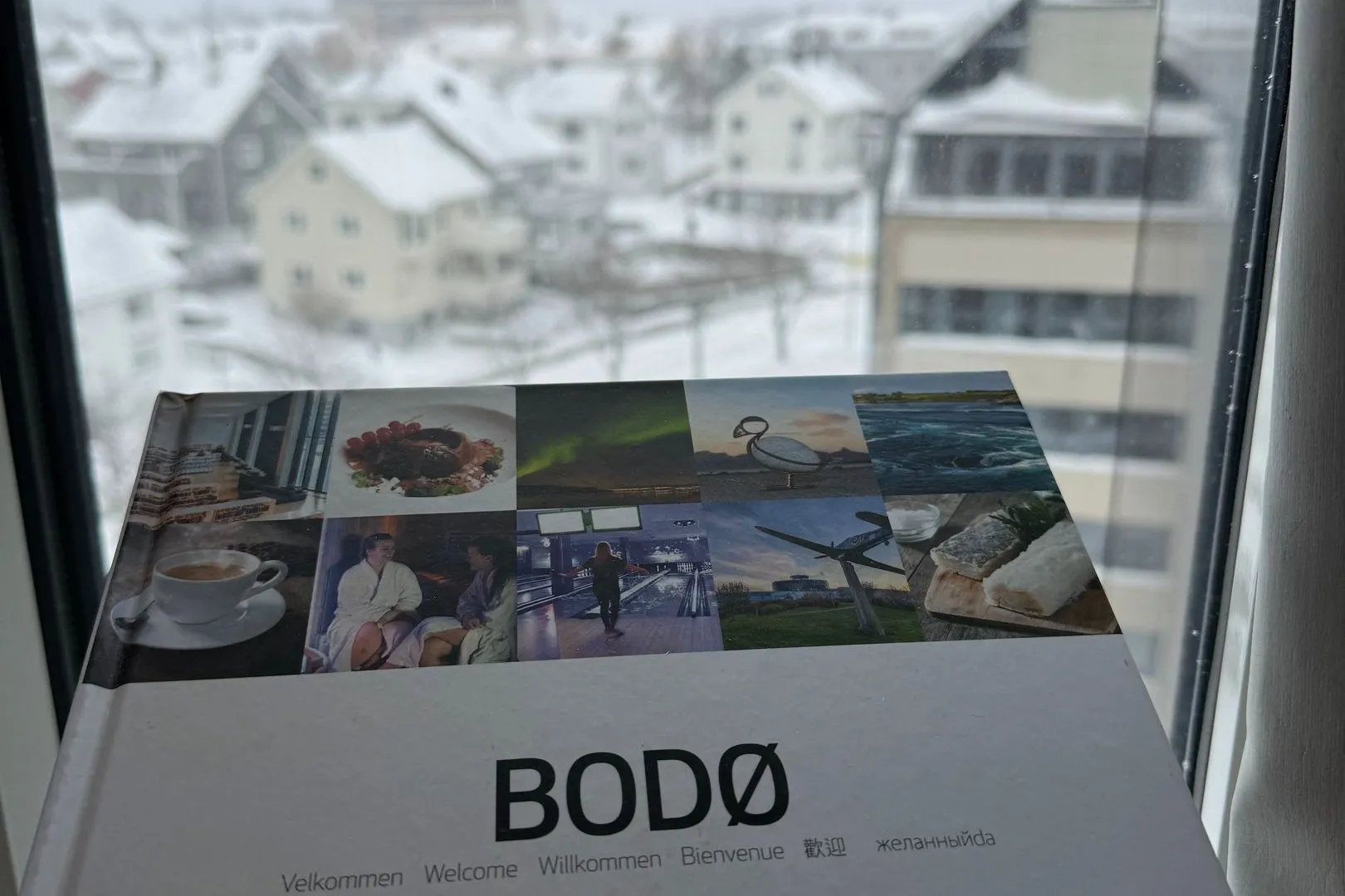
The alarm goes off at 4 am and we fly to Bodø via Frankfurt. In the afternoon we walk around the harbour in the sun, and in the evening we have pizza at LystPå.
· 1 min
The journey home to Switzerland
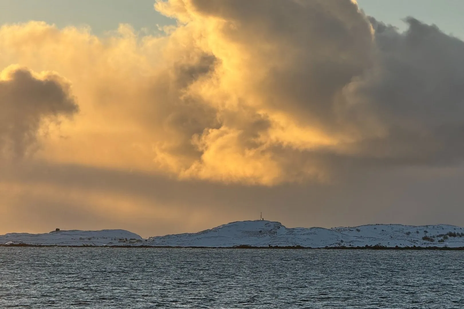
At 6 am we shovel the car free, then the ferry carries us into the sunrise. Via Bodø, Oslo and Zurich we head back to Basel.
· 3 min
Epic sunrise and a journey to the end of the world
We photograph the sunrise for 2.5 hours, our kayak plan fails, and Å at the 'end of the world' is sunny before a snow flurry brings the day to a close.
· 1 min
Mini-villa and fireplace
After the frozen Rambergstranda we move into the mini-villa overlooking Sakrisøy's yellow rorbuer and spend the evening by the fireplace.
· 1 min
Valentine's Day in the Lofoten
Valentine's Day and our anniversary in one: The 'Matterhorn of the North' is snowed in, but we enjoy the viewpoint over Reine and the evening in Sakrisøy.
· 2 min
Moose up close!
In Nusfjord the storm nearly carries off the drone. On the drive back, two young moose stand right beside the road, closer than ever before.
· 3 min
Snowsnakes in the Lofoten
The wind drives clouds of snow across the roads like snakes. We head to Fredvang and Ramberg and watch the sunset at the Eliassen Rorbuer.
· 3 min
Brilliant sunshine over the snow-covered Lofoten
Finally back in the Lofoten: Hamnøy in the winter light, the yellow houses of Sakrisøy, the drive out to Å and northern lights over the mountains at night.
· 2 min
Bodø city and the crossing to the promised land
Through deep fresh snow to the rental car, then on the rocking car ferry to the promised land: At 19:45 we reach the deeply snow-covered Lofoten.
· 4 min
Hesten - Narvik
Our last day on Senja is the most spectacular: A scramble up Hesten's steep rock face for a view of the iconic Segla, then 3.5 hours of misty lakes to Narvik.
· 1 min
Knuten
The easiest hike we've done in Norway: 15 minutes up Knuten for a view over Mefjordvær, the sea and misty mountains, then red curry and photo editing.
· 3 min
Mefjordvær
Fifteen minutes turn into a two-hour loop around Senja: Shopping in Finnsnes, perfect reflections at Tungeneset and a lighthouse we never reach.
· 2 min
Husøy
A slow, grey day: The lighthouse on the tiny island of Husøy, a spectacular drive through single-lane tunnels to Fjordgård, then curry and Monopoly.
· 5 min
Svolvær - Senja
The silent electric boat into the narrow Trollfjord, with sea eagles and an underwater drone, then 5.5 hours to Senja and northern lights over our beach.
· 5 min
Offersøykammen - Henningsvær
Farewell to Sakrisøy, then our favourite Lofoten hike up Offersøykammen with its 360-degree panorama, and at night a northern lights explosion at Rystad.
· 4 min
Kvalvika Beach
Up Ryten for a breathtaking view of Kvalvika Beach, then northern lights at night over Skagsanden Beach and by our cabin until after 2 am.
· 4 min
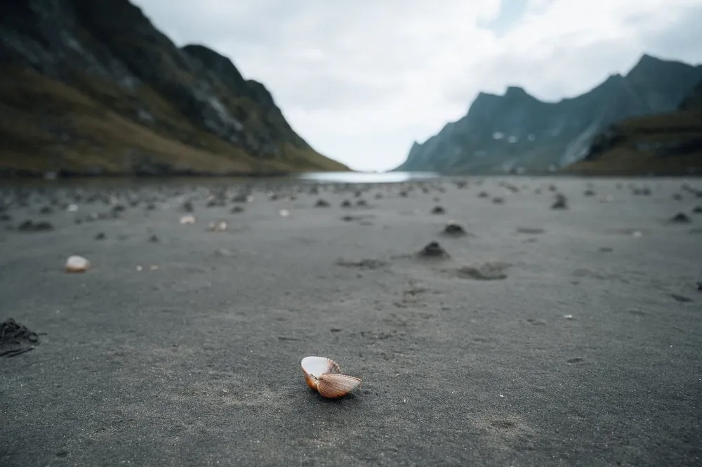
Bunes Beach
By boat to Vindstad and over the pass to remote Bunes Beach: A swim in the ice-cold sea, a beach full of shells and a drone chase near Fredvang.
· 5 min
Sakrisøy - Nusfjord
Drone stops on the way to the fishing village of Nusfjord, beach-hopping at Skagsanden and Ramberg, and at midnight northern lights over Sakrisøy.
· 2 min
Sakrisøy - Reinebringen
Up the Sherpa steps to Reinebringen with an incredible view of fjords and mountains, and in the evening Annina wins at Monopoly for the third time in a row.
· 3 min
Bodø - Sakrisøy
The car ferry from Bodø to Moskenes, the drive to the end of the E10 at Å, and a mini-villa on Olenilsøy overlooking Sakrisøy and Hamnøy.
· 1 min
Trondheim - Bodø
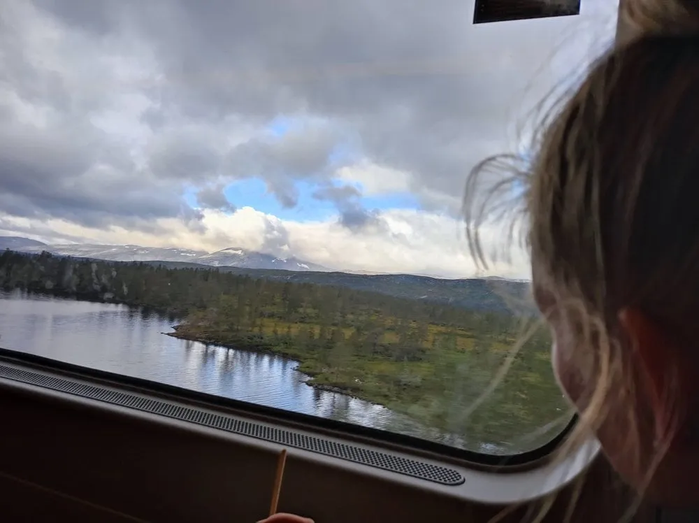
Almost ten hours by train from Trondheim to Bodø in Premium Class, past forests, fjords and waterfalls, with a few moose and a punctual arrival.
· 2 min
Atlantic Ocean Road - Trondheim
The Atlantic Ocean Road in moody fog, then Trondheim: Colourful warehouses on the Nidelva, the 11th-century Nidaros Cathedral and a very good Thai dinner.
· 3 min
Isfjorden - Atlantic Ocean Road
Coastal trails at Bud and Farstad in drizzle, then the clouds break over the Atlantic Ocean Road and we race back for one of the finest sunsets we've seen.
· 2 min
Ålvund - Isfjorden
A hike through Innerdalen, Norway's supposedly finest high valley, with sheep begging for our sandwiches, then a rainbow over the lake on Litlefjellet.
· 2 min
Hamar - Ålvund
By replacement bus and train to Trondheim with two moose beside the tracks, then on by rental car to a cabin on the fjord in Ålvund, sunset included.
· 1 min
Copenhagen - Hamar
A whole day of travel by train and bus from Copenhagen via Gothenburg and Oslo to Hamar, where swarming mosquitoes end our planned dinner by the Viking ship.
· 2 min
Napp - Henningsvær - Kasfjord
Back to the north of the Lofoten via Henningsvær and Svolvær to Kasfjord near Harstad, with rainbows, two moose and the last evening before the flight home.
· 3 min
Reine - Sakrisøy - Hamnøy
Rain, hail and rainbows, photo stops in Sakrisøy, Reine and Hamnøy, a visit to the Lofoten waterfall and faint northern lights over the sea in the evening.
· 2 min
Offersøykammen
A steep hike up Offersøykammen with views of fjords, mountains and sea, a summit picnic, forgotten drone batteries and rain on our return.
· 3 min
Kvalvika
Second attempt at Kvalvika Beach in sunshine: A climb in T-shirts, a picnic on the most beautiful beach in the Lofoten and evening light at the Twin-Bridges.
· 4 min
Mannen - Northern Lights
Climbing Mannen above Hauklandstranda, a seal in front of our cabin and, at night, the northern lights for the second time in the Lofoten.
· 2 min
Å - Sakrisøy - Ramberg
Checking out, sea eagles in Å, a rainbow before the next downpour and moving into our new accommodation near Ramberg, the Lofoten Cabins Kåkern.
· 2 min
Nubben - Kvalvika
Rain on Nubben, turning back in the mud, then the hike to Kvalvika Beach with a picnic in the wind and sea eagles in Lofotodden National Park.
· 3 min
Nusfjord - Sakrisøy - Reine
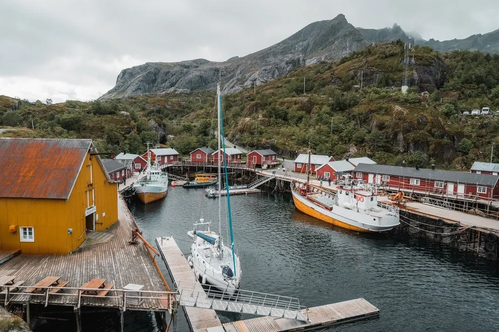
Nusfjord in better weather: Harbour and rorbuer, cinnamon treats with a view, a short hike to two lakes, then the yellow house in Sakrisøy.
· 1 min
Reine - Sakrisøy
Rain, wind and fog in the Lofoten: Photo stops in Fredvang, Reine and Sakrisøy, plus rice with red wine sauce and hungry seagulls outside the window.
· 2 min
Ramberg
A rainy day in the Lofoten: The red cabin at Rambergstranda, photo stops on the drive south, a Kanelsnurrer in Sakrisøy and an afternoon in our little cabin.
· 3 min
Reinebringen - Å
Climbing the 448-metre Reinebringen via 1566 steps, then the drive to Å at the end of the E10 and back to our little fishing cabin in Hamnøy.
· 7 min
Rystad - Hamnøy
From Rystad to Hamnøy: Rainbows over sandy beaches, sea eagles, a fishing cabin in the old fishing village and northern lights over the harbour at night.
· 2 min
Henningsvær - Gimsøy
A rainy day in the Lofoten: Rørvikstranda beach, the football pitch of Henningsvær from the air and the church of Gimsøy, plus tomato spaghetti.
· 2 min
Oslo - Narvik
An early flight from Oslo to Harstad/Narvik, a Toyota RAV4 as our rental car and three hours of coastal roads to our first accommodation in Rystad.
· 2 min
Oslo Day 3
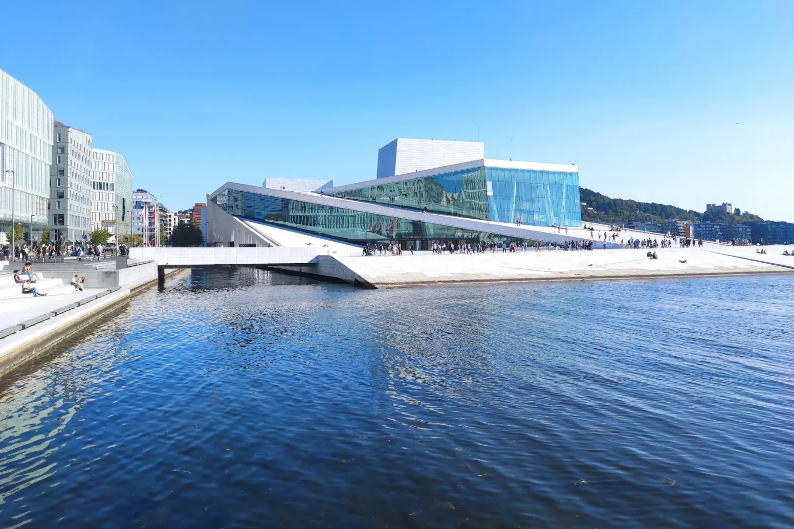
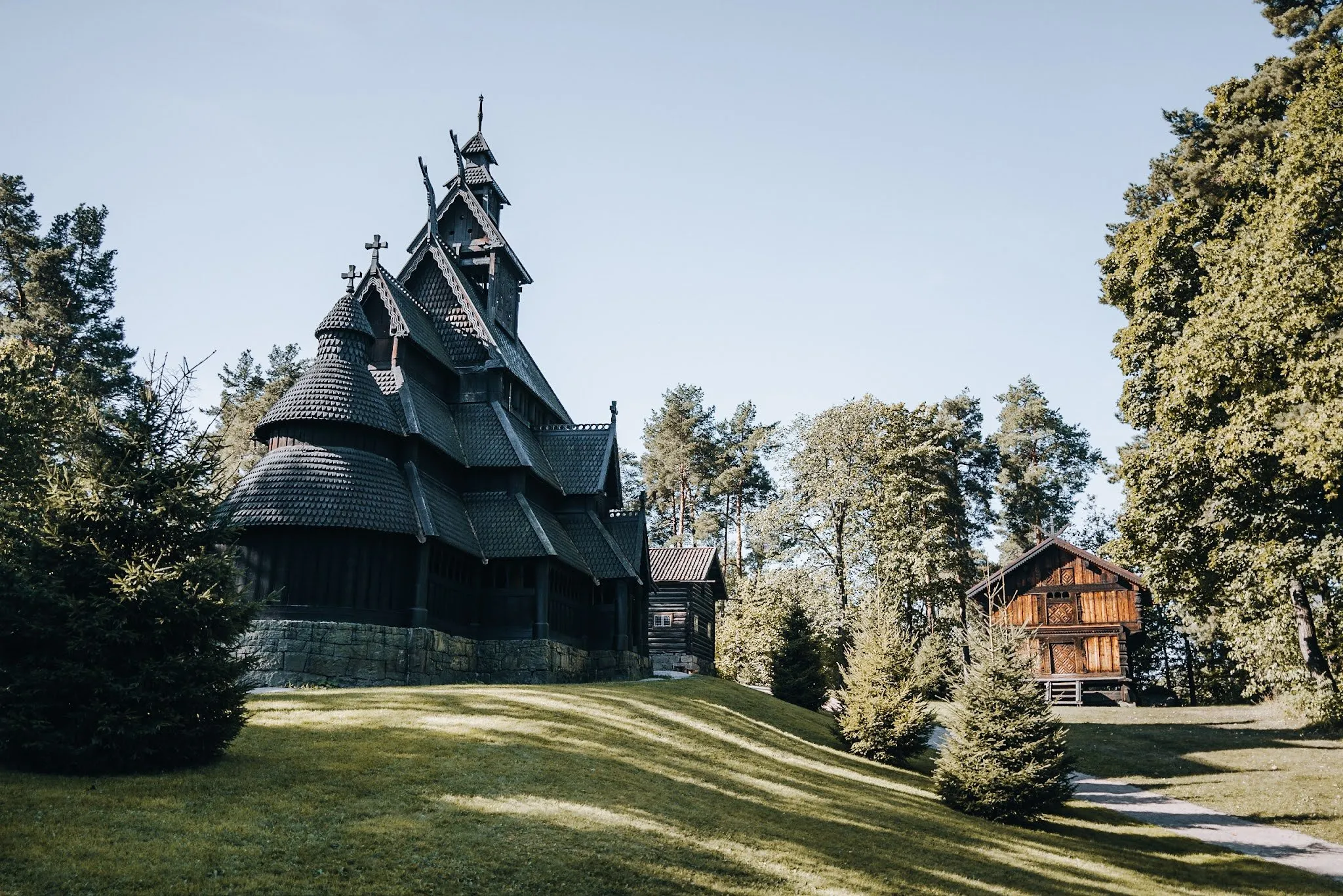
By ferry to the Folk Museum with the stave church, the Viking Ship Museum, lunch at the opera house and packing for the early flight to the Lofoten.
· 3 min
Oslo Day 2
The Fram Museum, Maritim Museum and Kon-Tiki Museum on Bygdøy, then the City Hall, Akershus Fortress and the Royal Palace in Oslo.
· 2 min
Oslo Day 1
By train to Zurich, a direct flight to Oslo, the City Box Hotel and on Sunday afternoon to the waterfront promenade by the opera house.
28 photo spots
All on the map →Å, End of the E10
67.8796° N 12.9840° E
Best time: Sunset
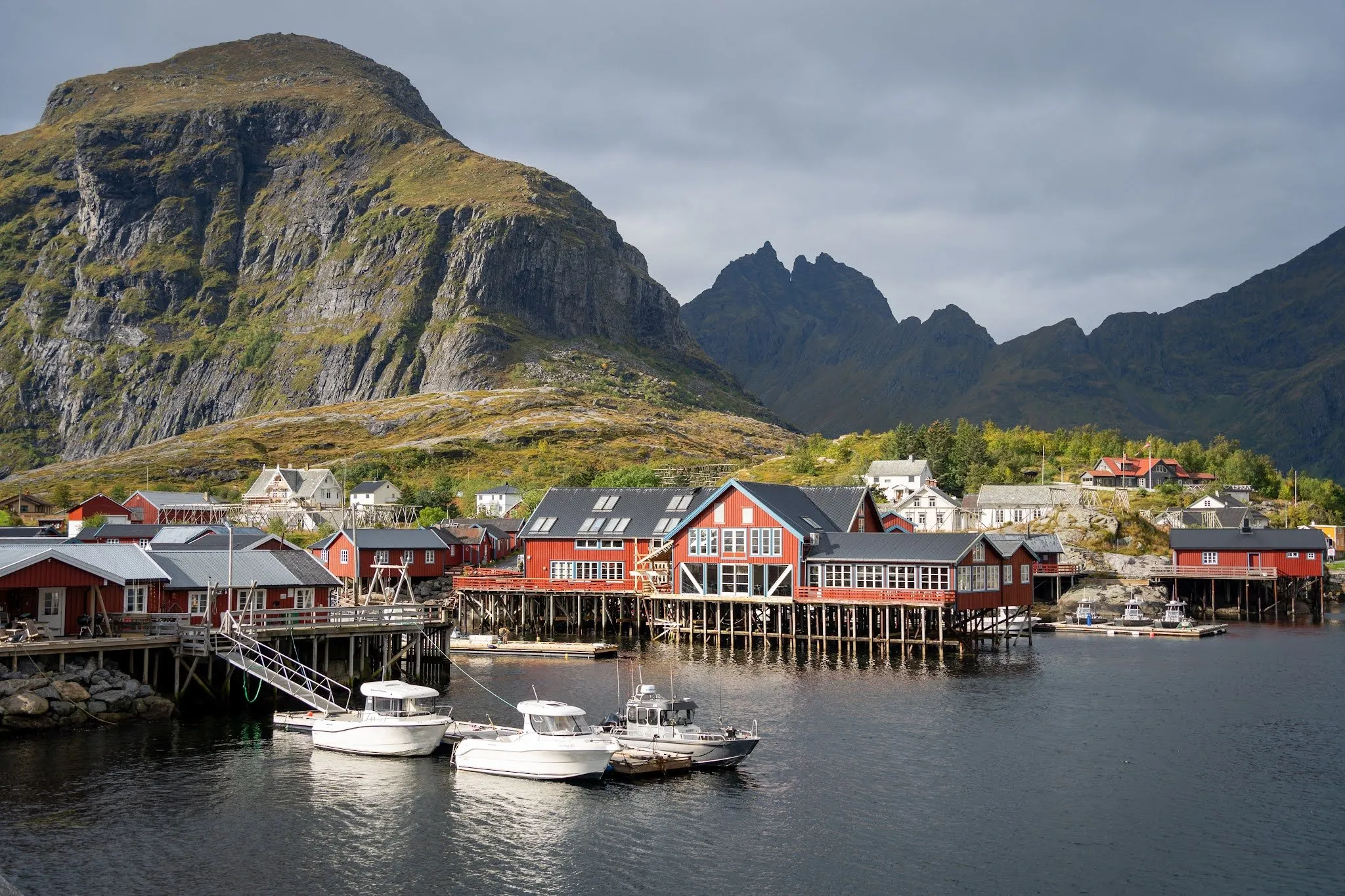
This is where the Lofoten and the E10 both end. Beyond the hamlet there is only open sea, with cliffs as a viewpoint.
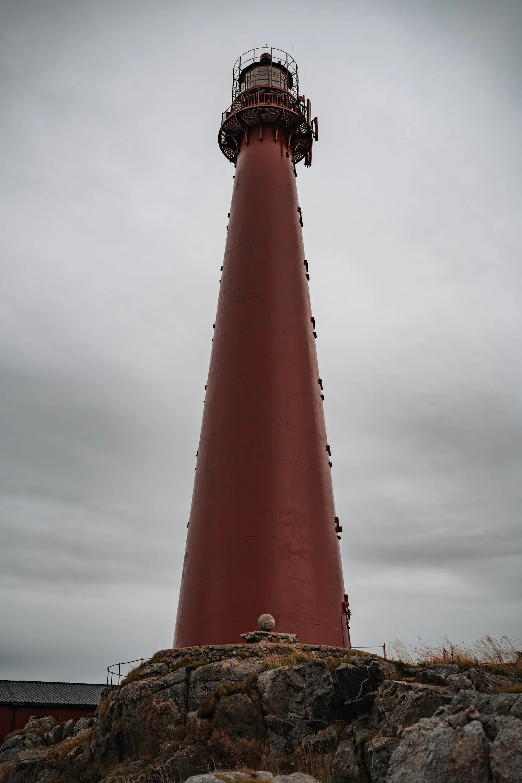
Andenes fyr, Andøya
69.3238° N 16.1157° E
Best time: All year · whale museum right next door
The 40 metre red cast iron lighthouse has stood at the northern tip of Andøya since 1859. The whale museum and the whale safari harbour are right next to it.
Bunes Beach, Lofoten
67.9785° N 12.9640° E
Best time: Midnight sun · June to July
A vast, wild sandy beach at the end of the Reinefjord. The ferry from Reine plus a short walk delivers near-total solitude.
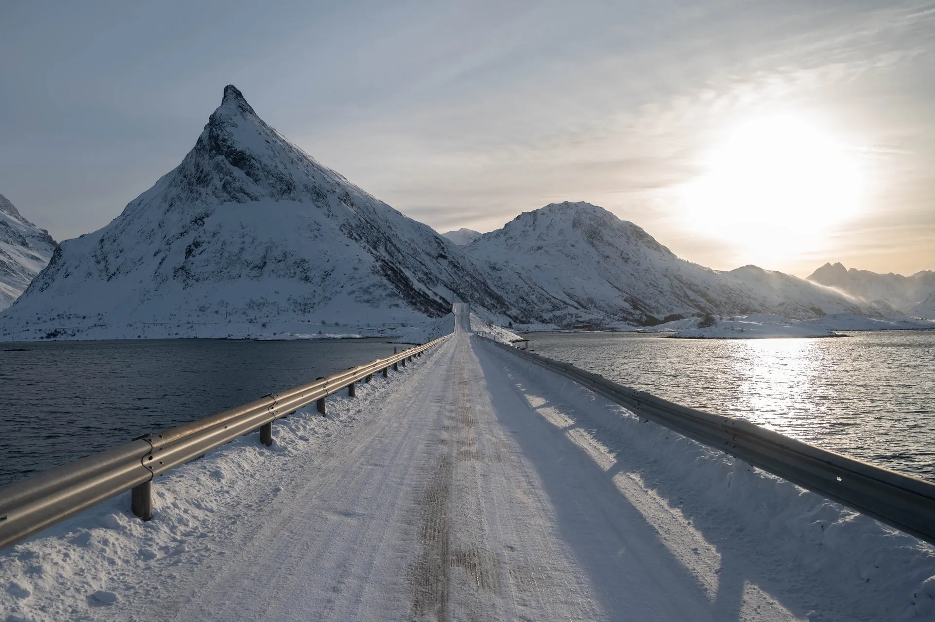
Fredvang Bridges, Lofoten
68.0803° N 13.2003° E
Best time: Winter · drone
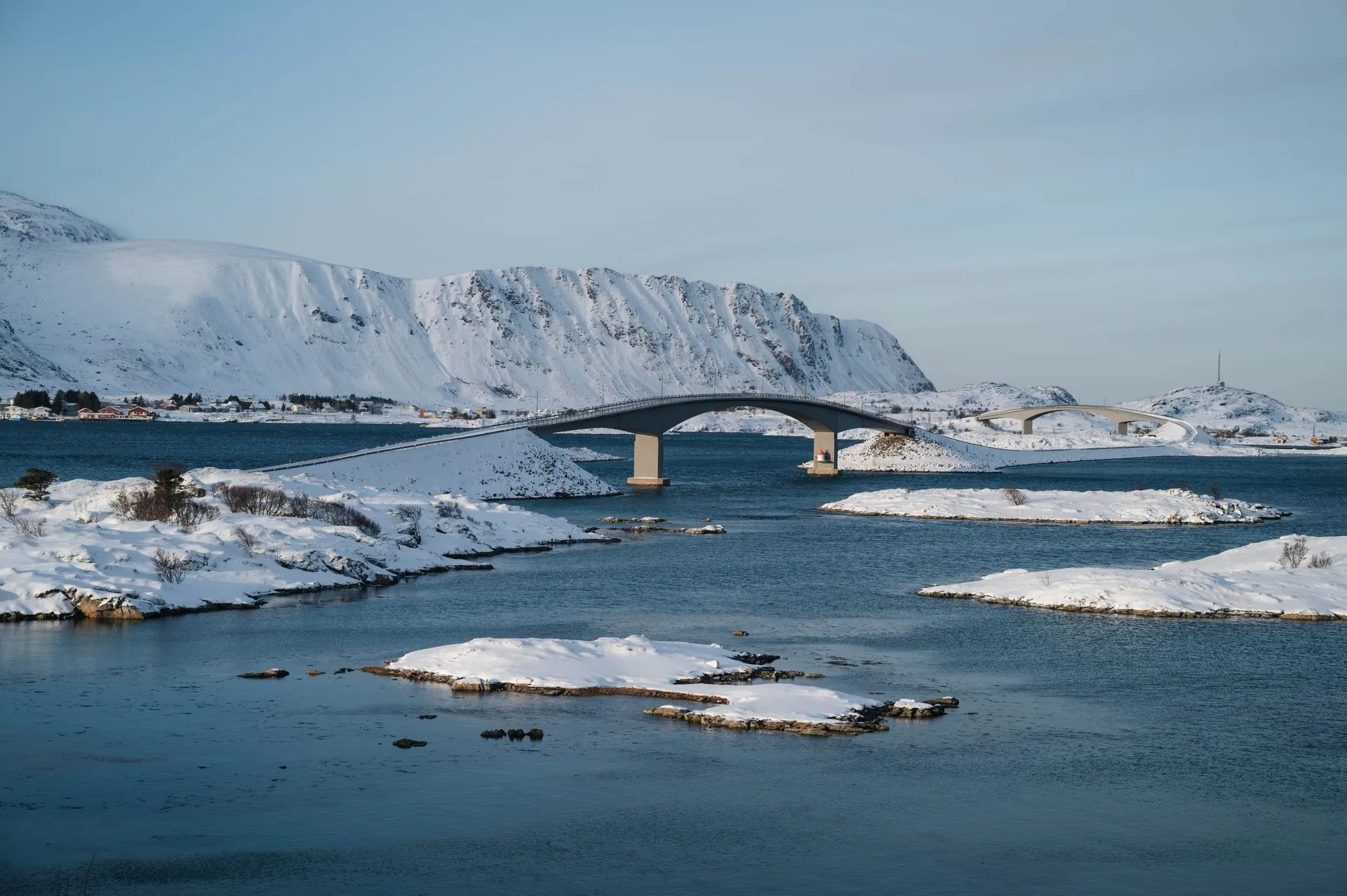
Two sweeping bridges link the small islands at Fredvang. In winter, snowsnakes drift across the asphalt.
Gol Stave Church, Oslo
59.9080° N 10.6833° E
The 13th century stave church stands in the Norsk Folkemuseum, a 10 minute walk from the ferry pier. It has been moved several times.
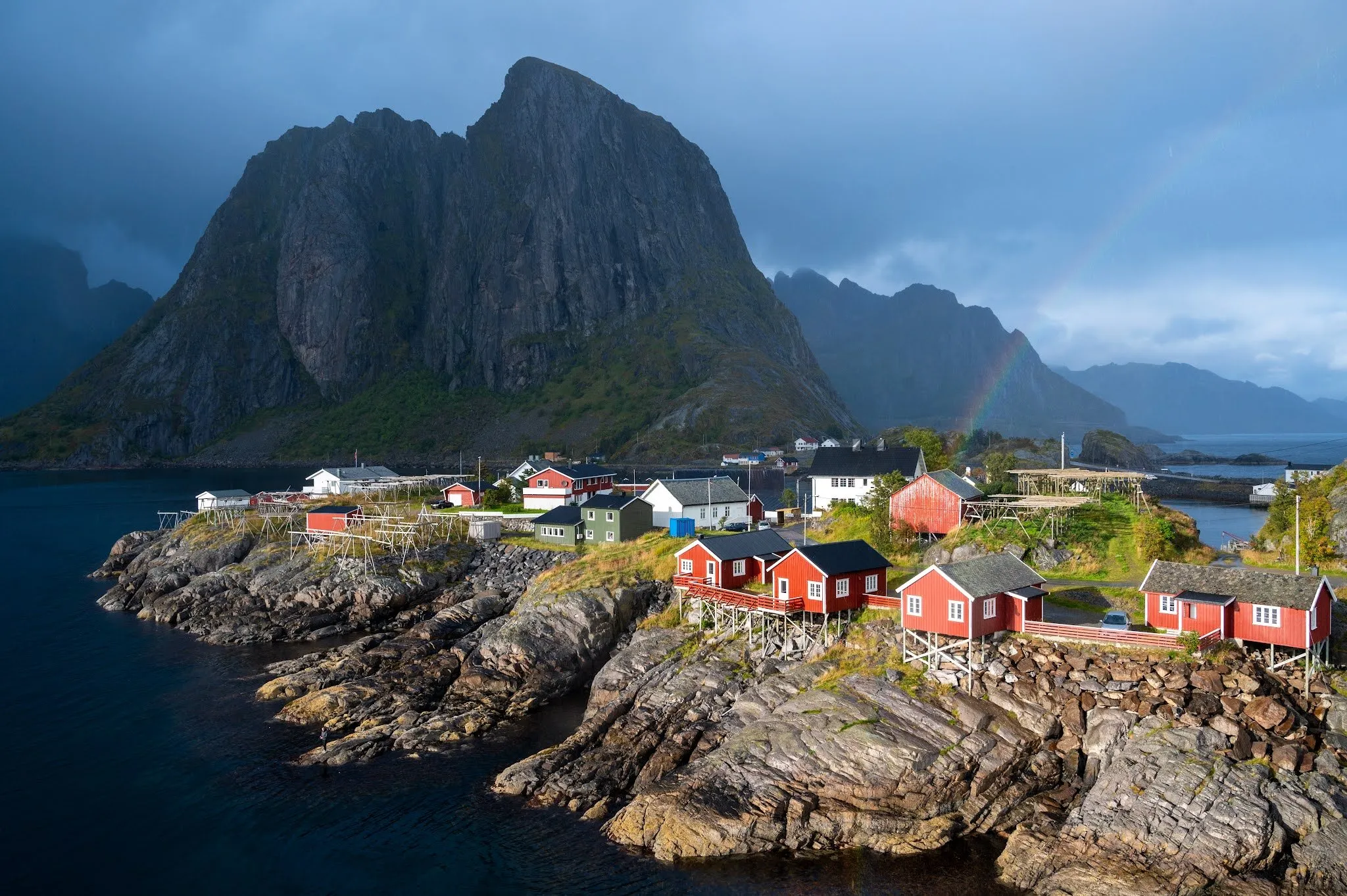
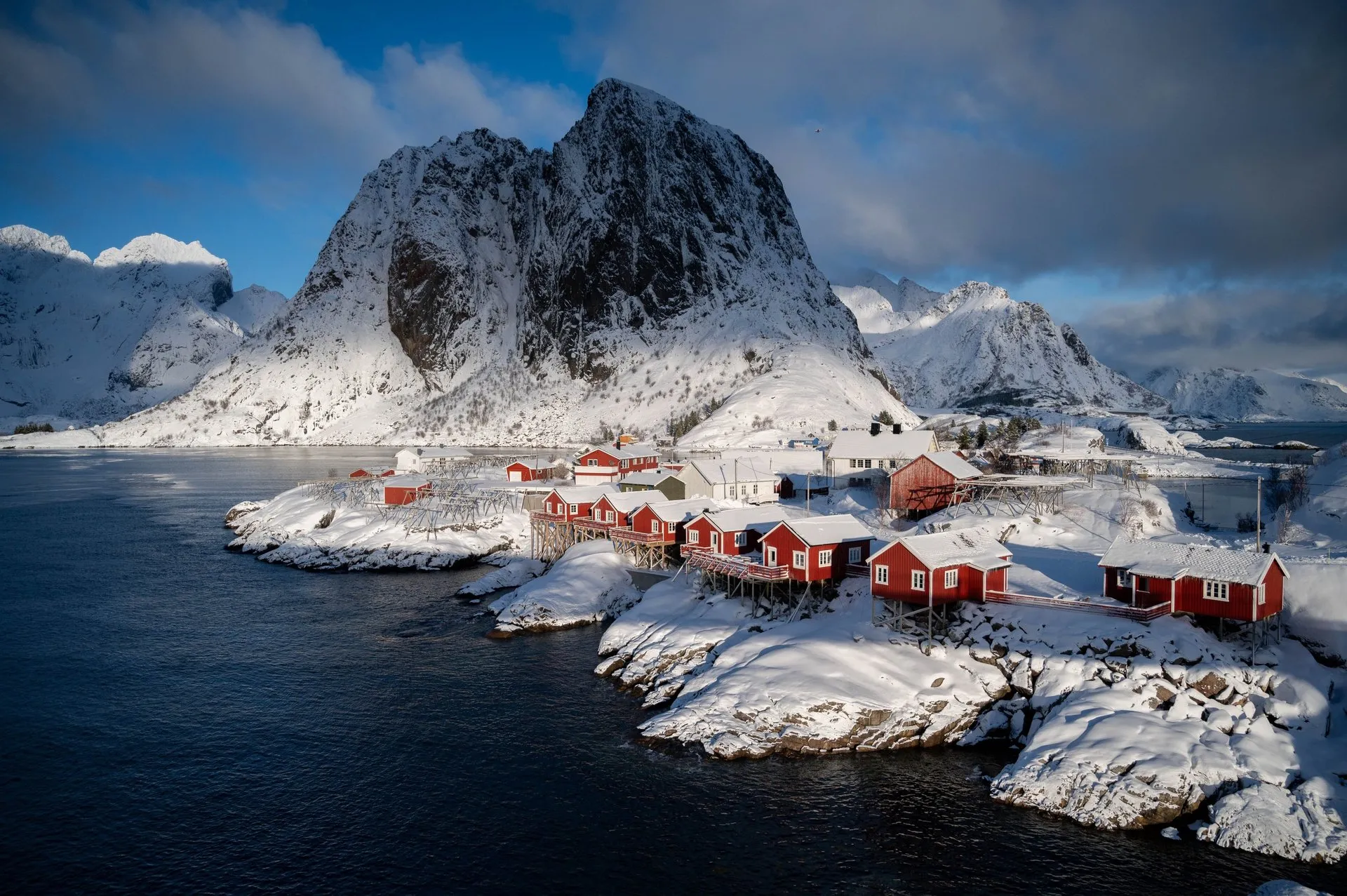
Hamnøy, Lofoten
67.9458° N 13.1330° E
Best time: Blue hour · northern lights September to March
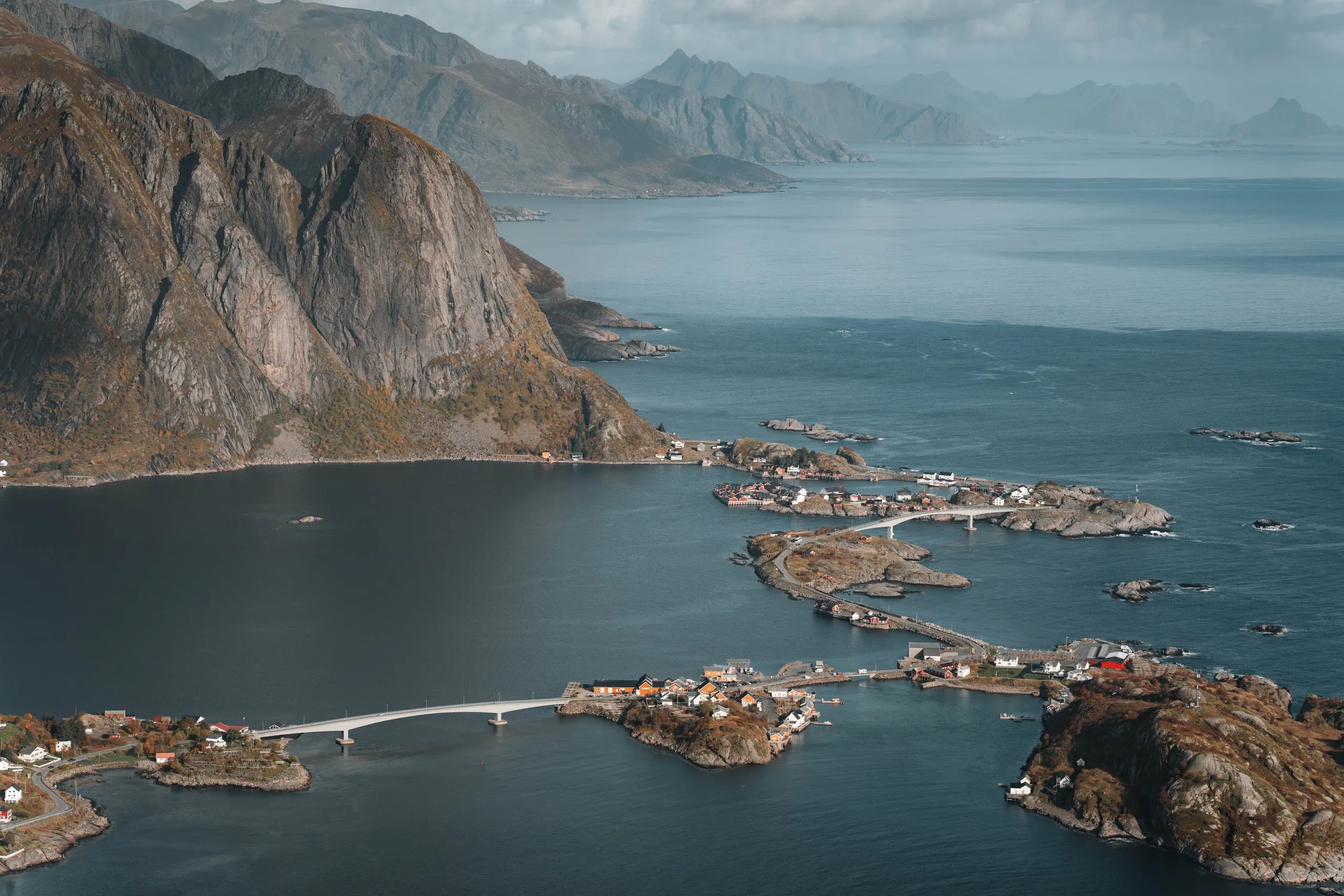
The Lofoten photo hotspot: Red rorbuer on rocks below Festhæltinden. Shot from the bridge on the E10, right at the roadside.
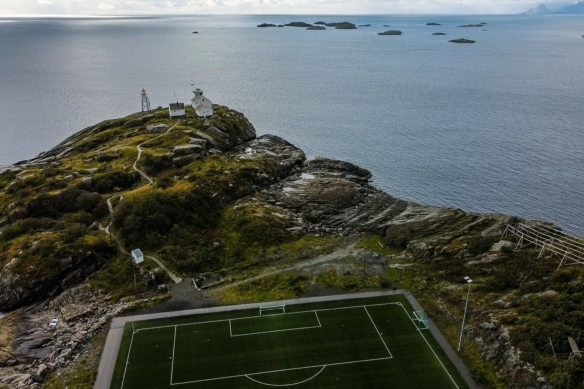
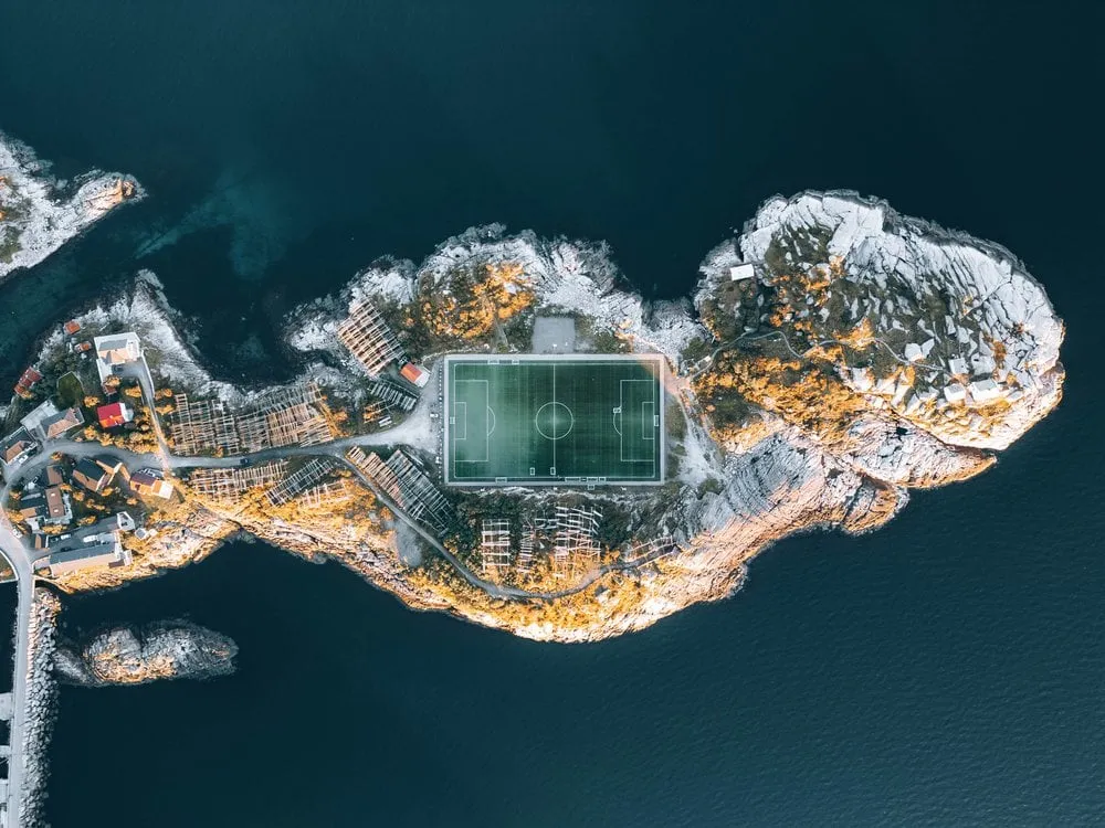
Henningsvær Football Pitch
68.1480° N 14.2007° E
Best time: Sunset · drone
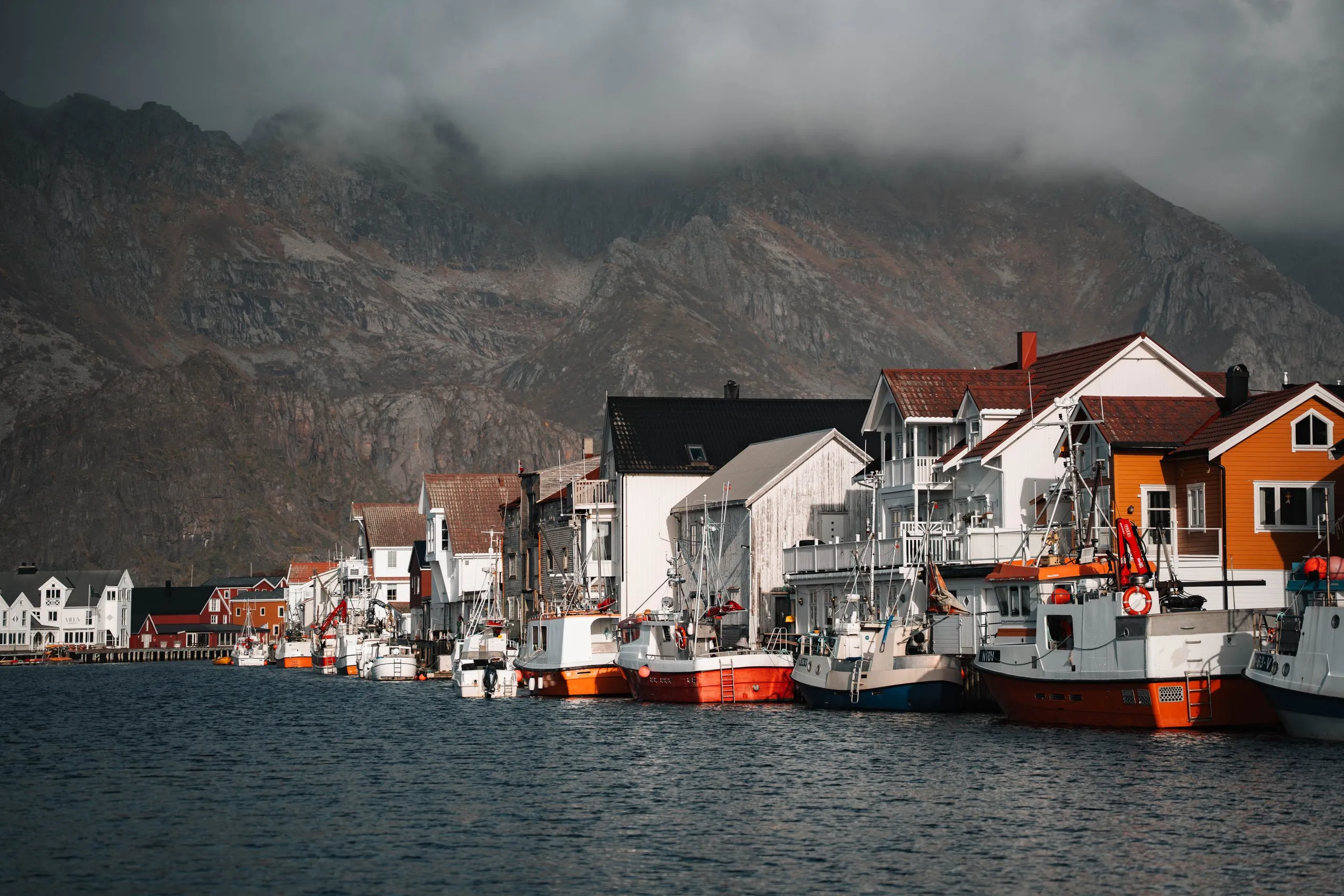
Norway's most famous football pitch, wedged between rock and sea. Only really readable from the air.
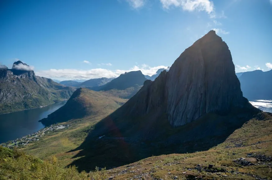
Segla from Hesten, Senja
69.5145° N 17.5851° E
Best time: Evening sun · June to September
The view from Hesten across to Segla's sheer face is THE shot on Senja, about a 1.5-hour climb from Fjordgård.
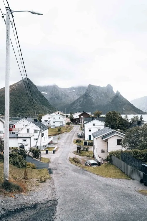
Husøy, Senja
69.5422° N 17.6625° E
Best time: Morning light · all year
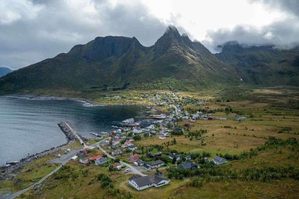
An entire fishing village crammed onto a tiny island in the Øyfjord. Behind it, Senja's mountains plunge straight into the sea.
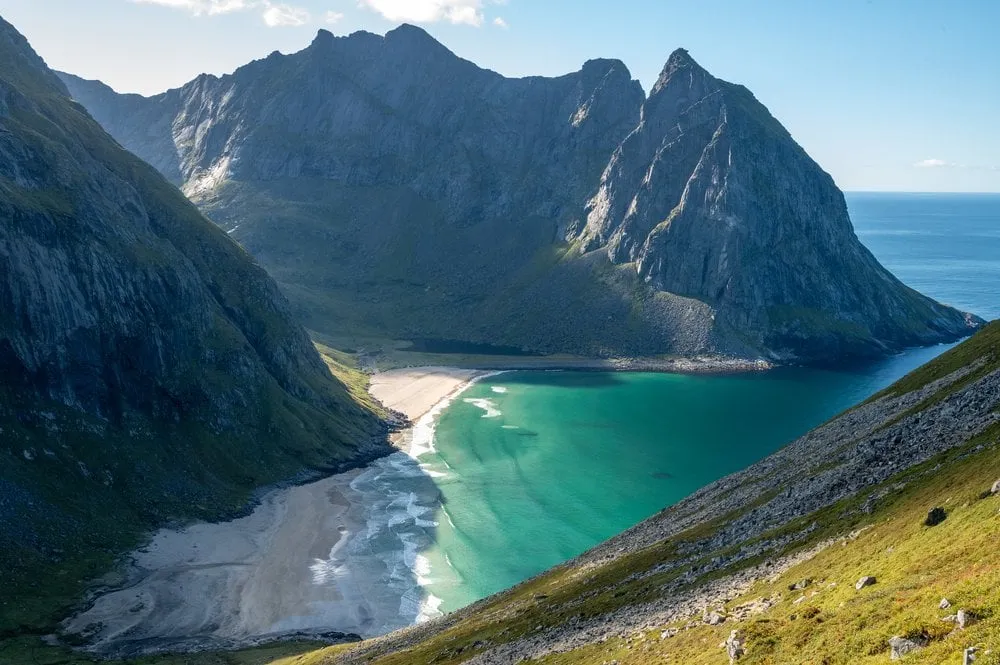
Kvalvika Beach, Lofoten
68.0773° N 13.0964° E
Best time: Afternoon · June to September
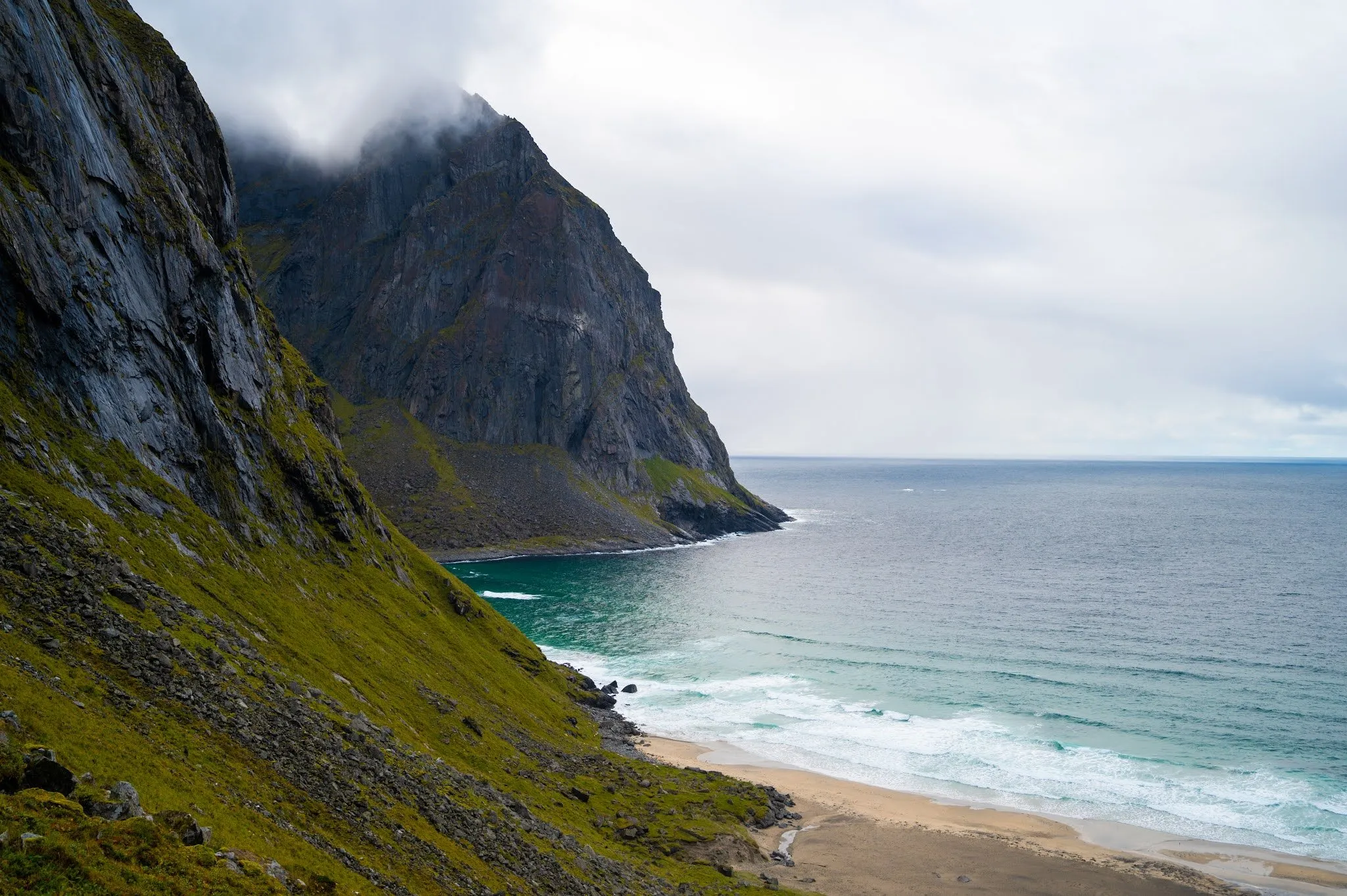
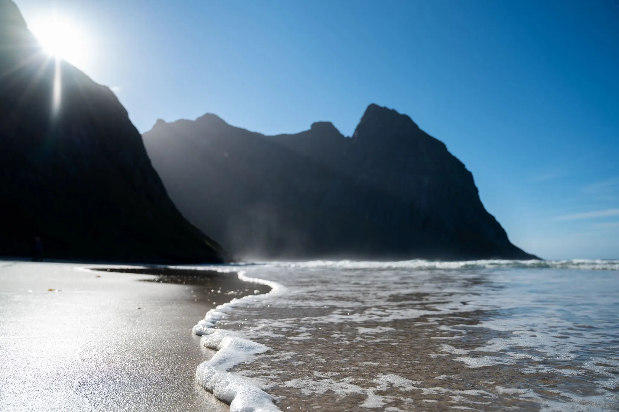
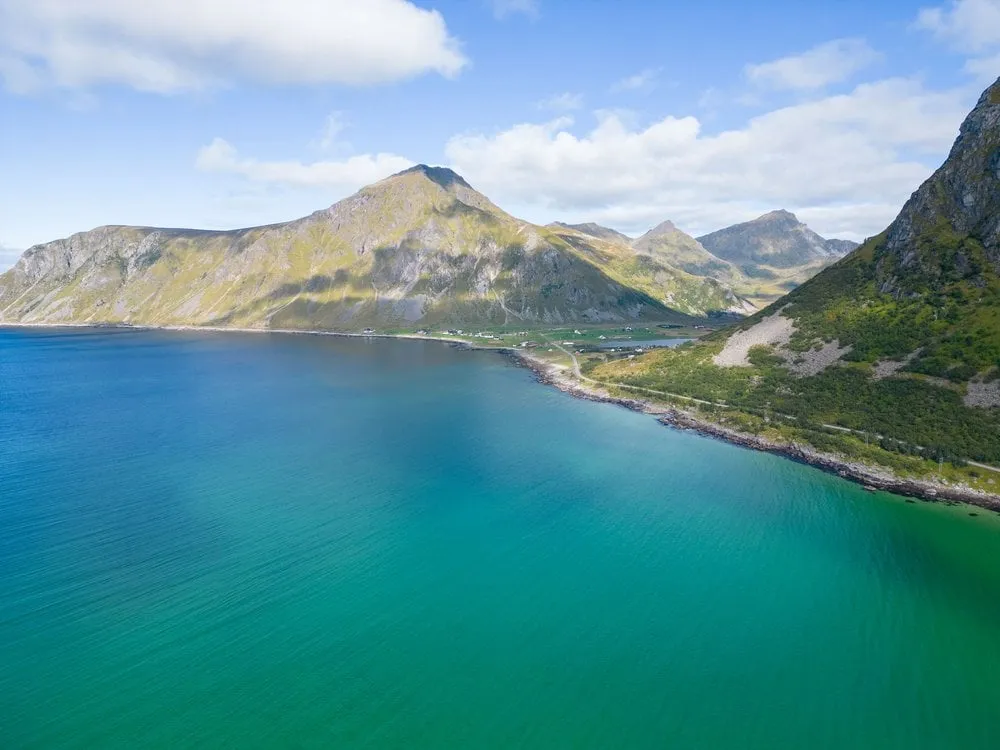
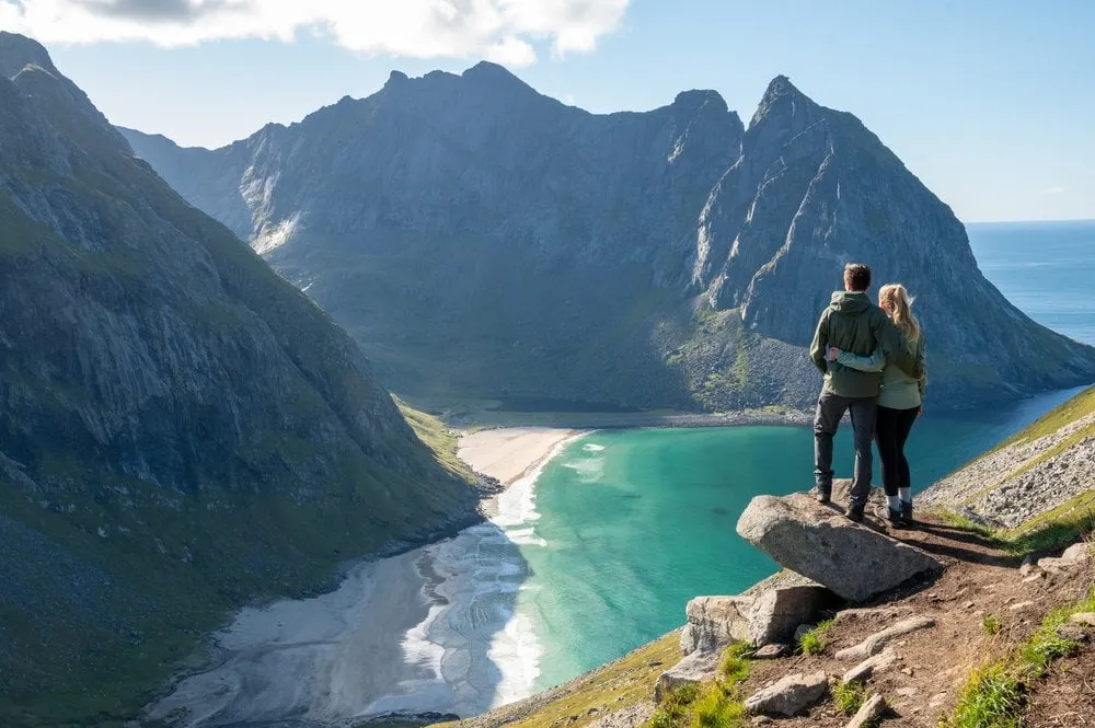
A turquoise bay walled in by steep cliffs, reachable only on foot. The finest view opens up on the climb towards Ryten.
Mannen, Vestvågøy
68.2037° N 13.5202° E
A steep climb with some scrambling from the free car park at Hauklandstranda. At the top we see far across the sea, mountains and several beaches.
Måtind, Andøya
69.2425° N 15.8652° E
Best time: Evenings in clear weather, for the sunset
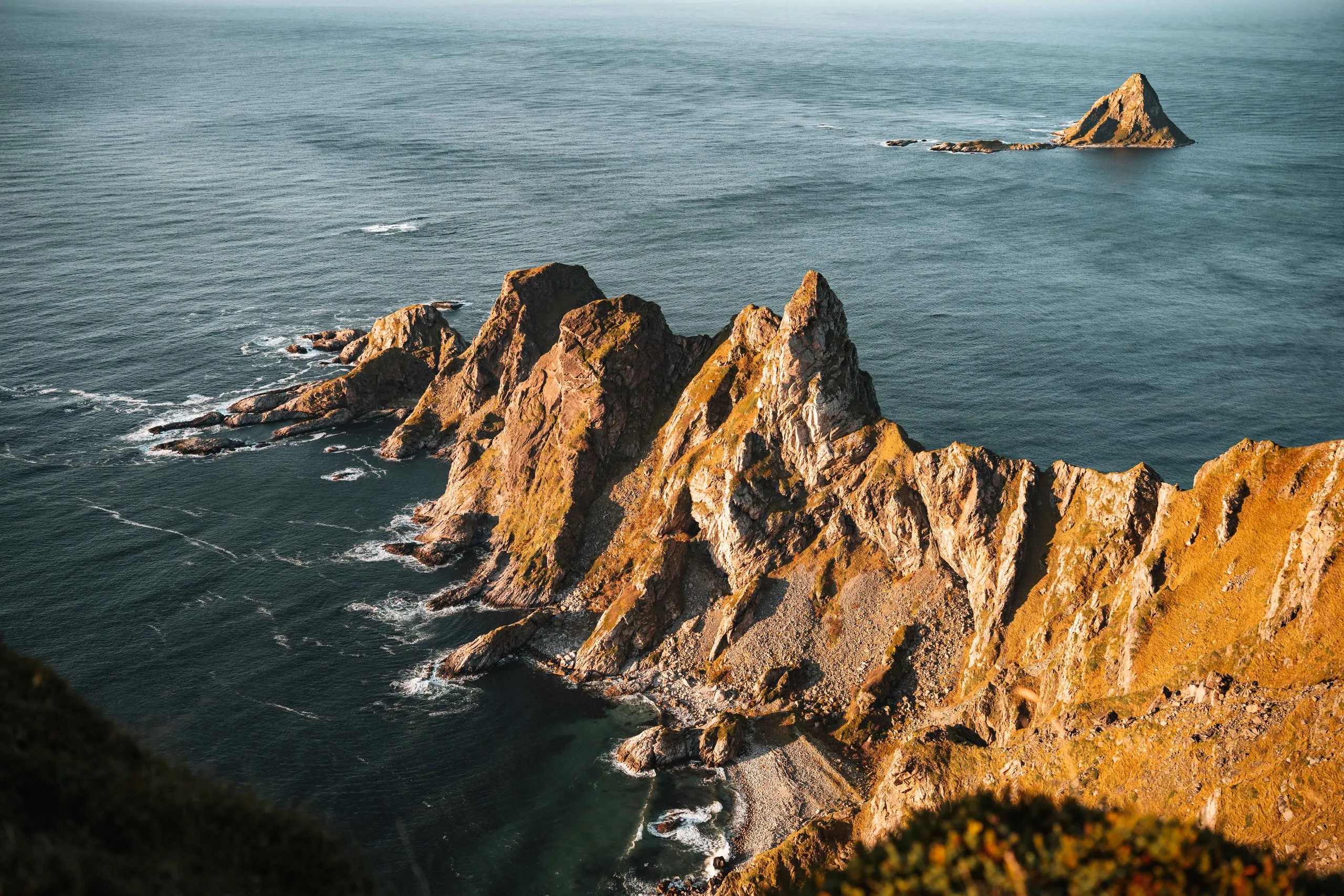
From the summit of Måtind you look down on jagged rock ridges, the beach of Bleik and the triangular bird island of Bleiksøya. About 450 metres of ascent, pathless in places.
Nidarosdomen, Trondheim
63.4269° N 10.3969° E
Best time: Daytime · overcast skies
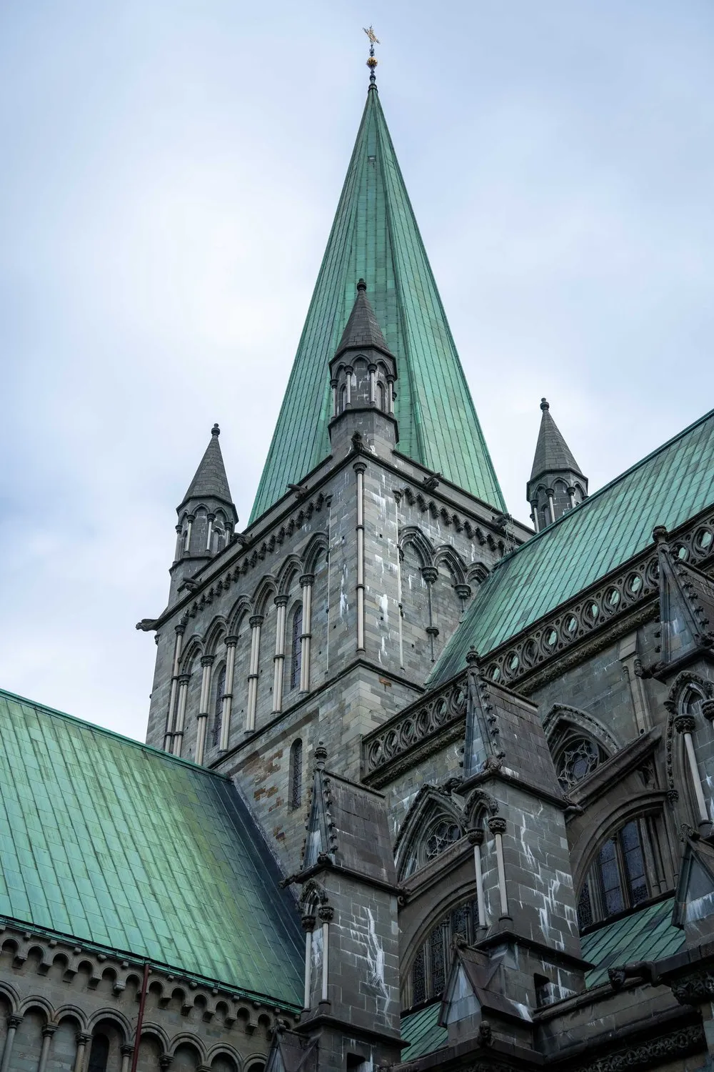
The impressive 11th-century stone cathedral. Its gothic spires and green copper roofs look especially monumental under overcast skies.
Nusfjord, Lofoten
68.0353° N 13.3478° E
Best time: All year · café in the village
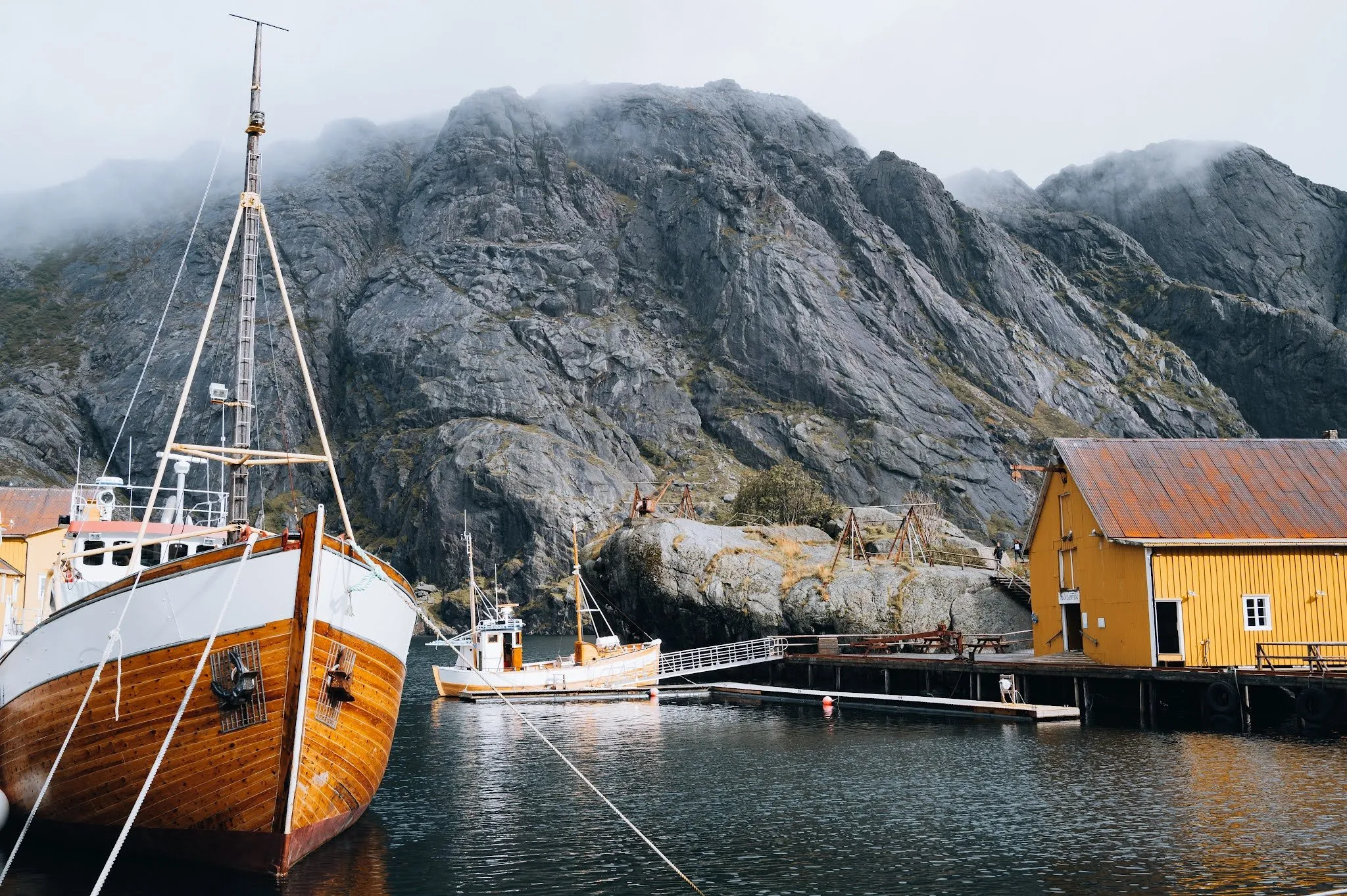
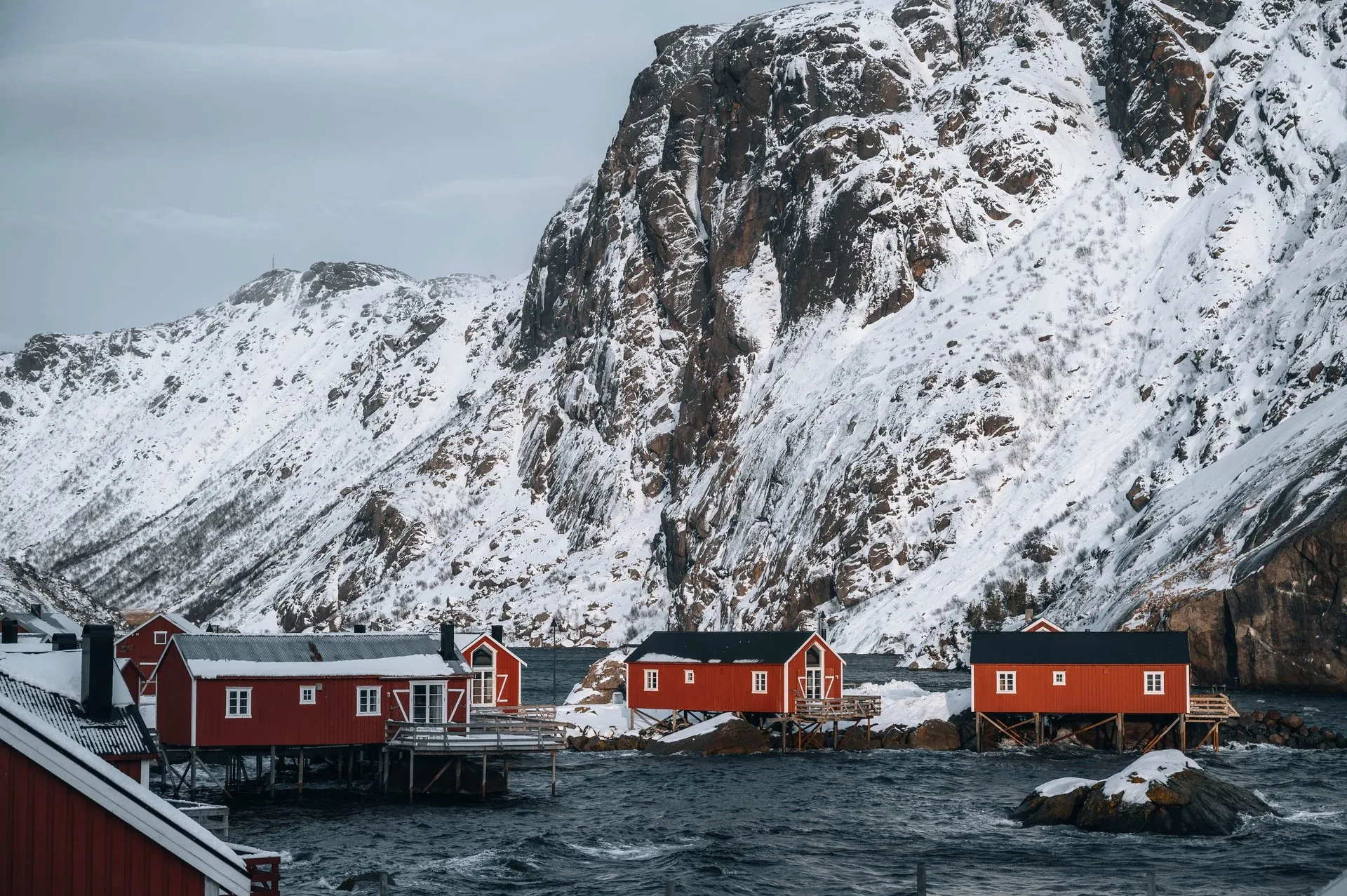
One of Norway's oldest fishing villages, colourful houses tight against the water. In a storm the sea foams into the harbour itself.
Offersøykammen, Lofoten
68.1611° N 13.5018° E
Best time: Late afternoon · May to September
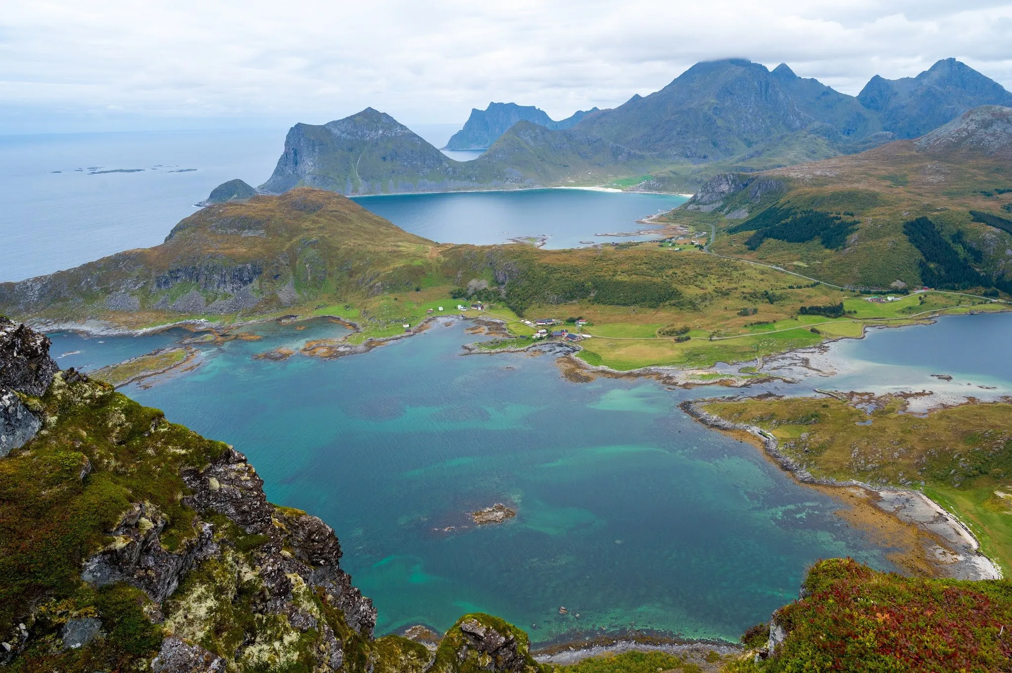
A short, punchy climb with a big payoff. From the ridge, peaks, fjords and the Nappstraumen strait layer all the way to the horizon.
Opera House, Oslo
59.9069° N 10.7536° E
The futuristic opera house on the waterfront. Some walls are made entirely of glass, and we walk on the sloping roofs with a view of the sea and the harbours.
Rambergstranda, Lofoten
68.0917° N 13.2408° E
Best time: Winter · midday light
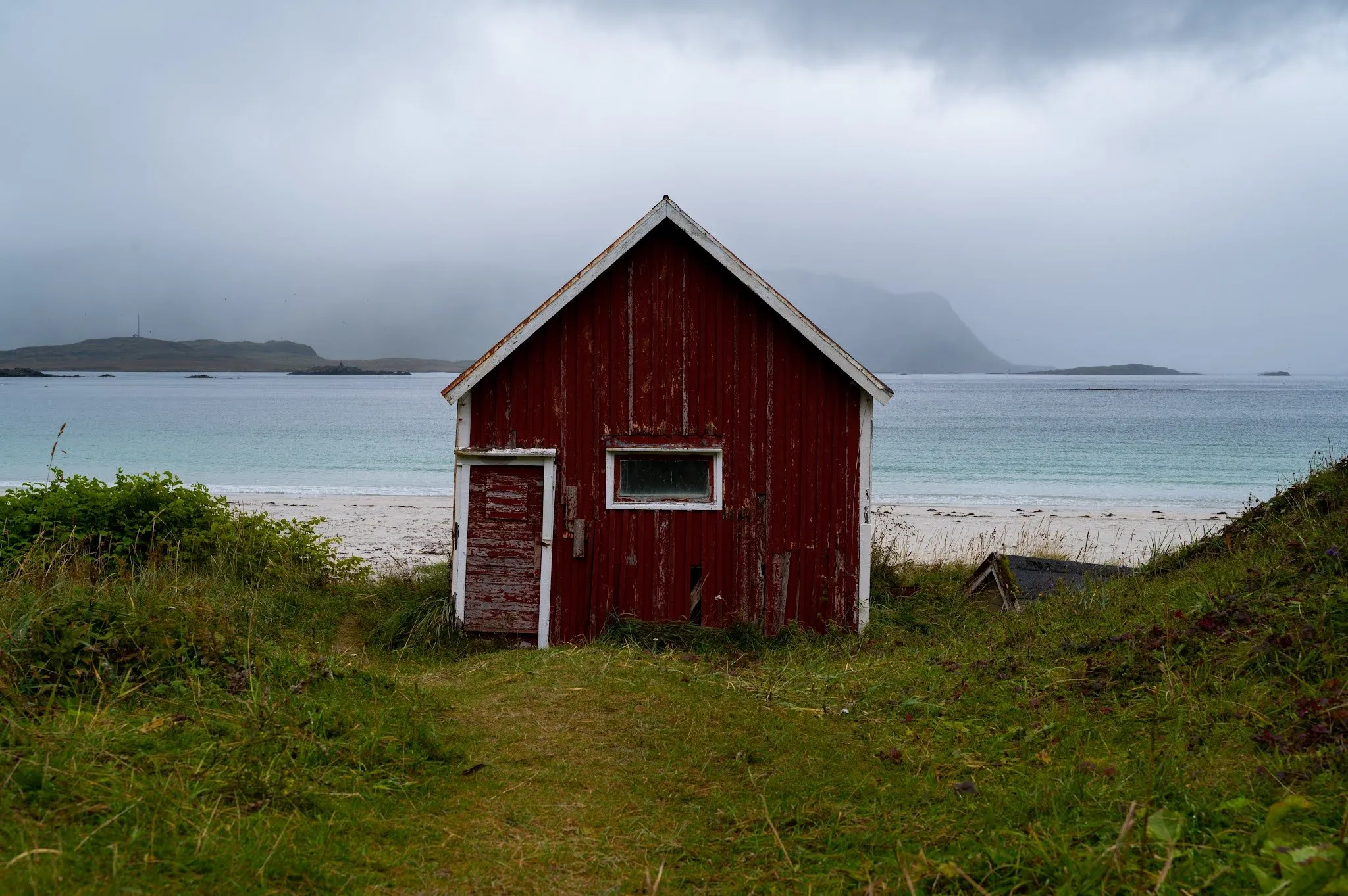
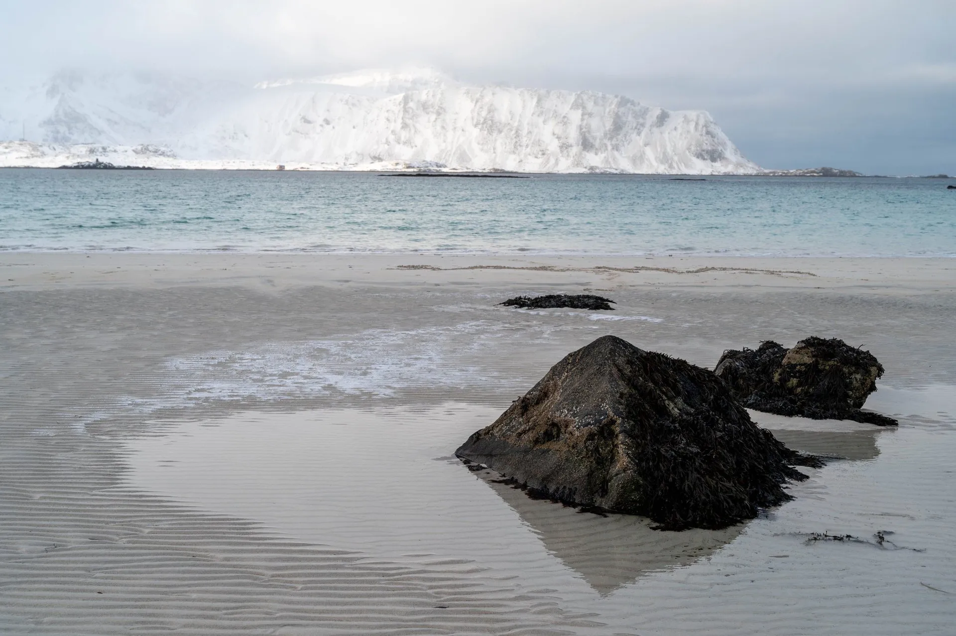
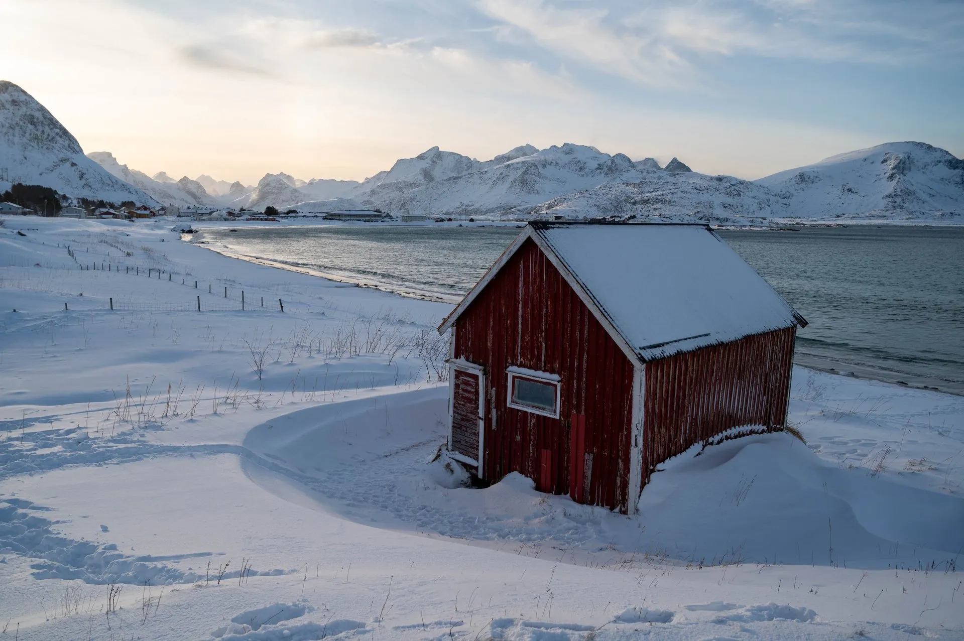
White sand right next to snow, with the little red hut at the edge. In winter the frost forms bizarre patterns in the sand.
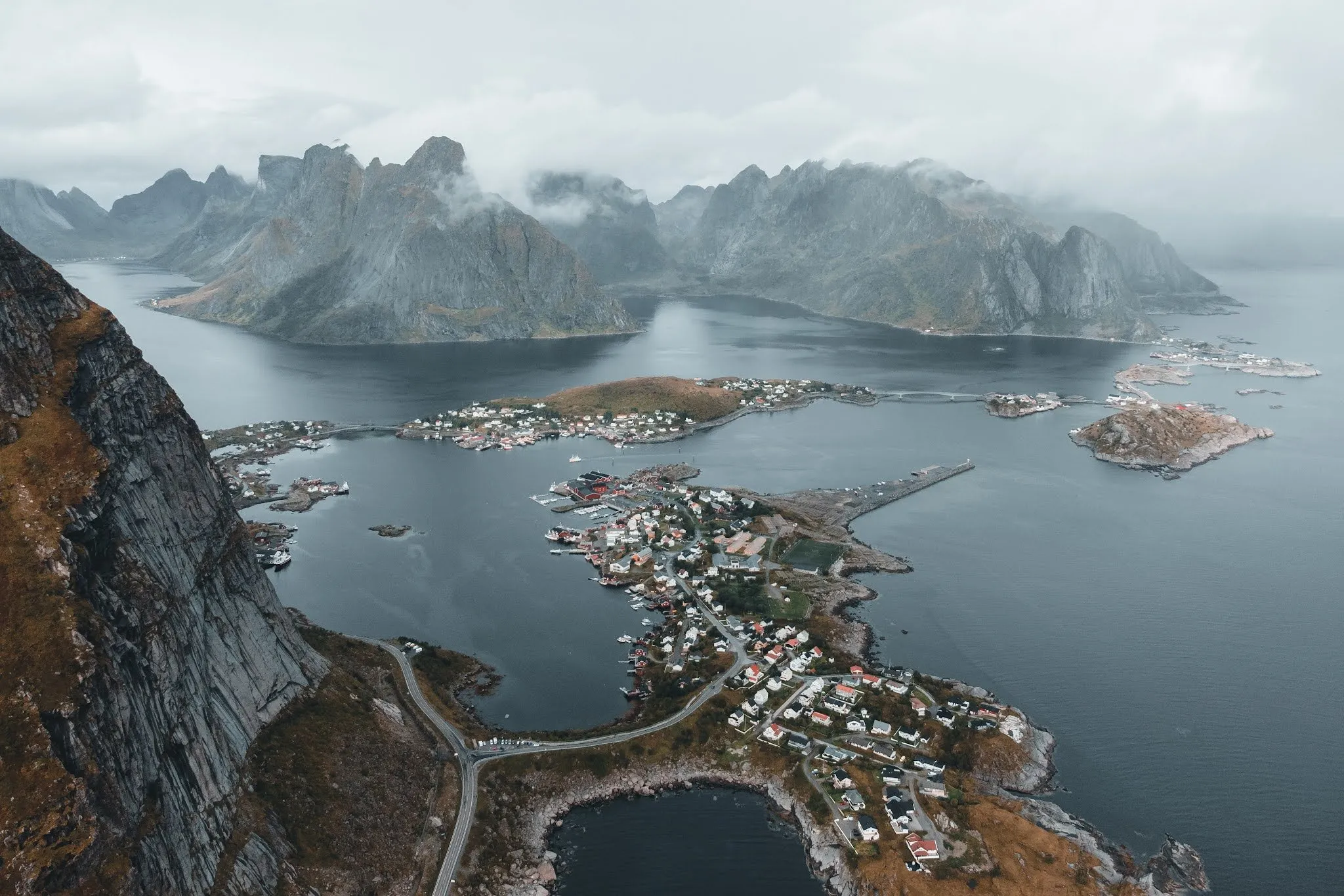
Reinebringen Viewpoint
67.9278° N 13.0714° E
Best time: Early morning · June to September
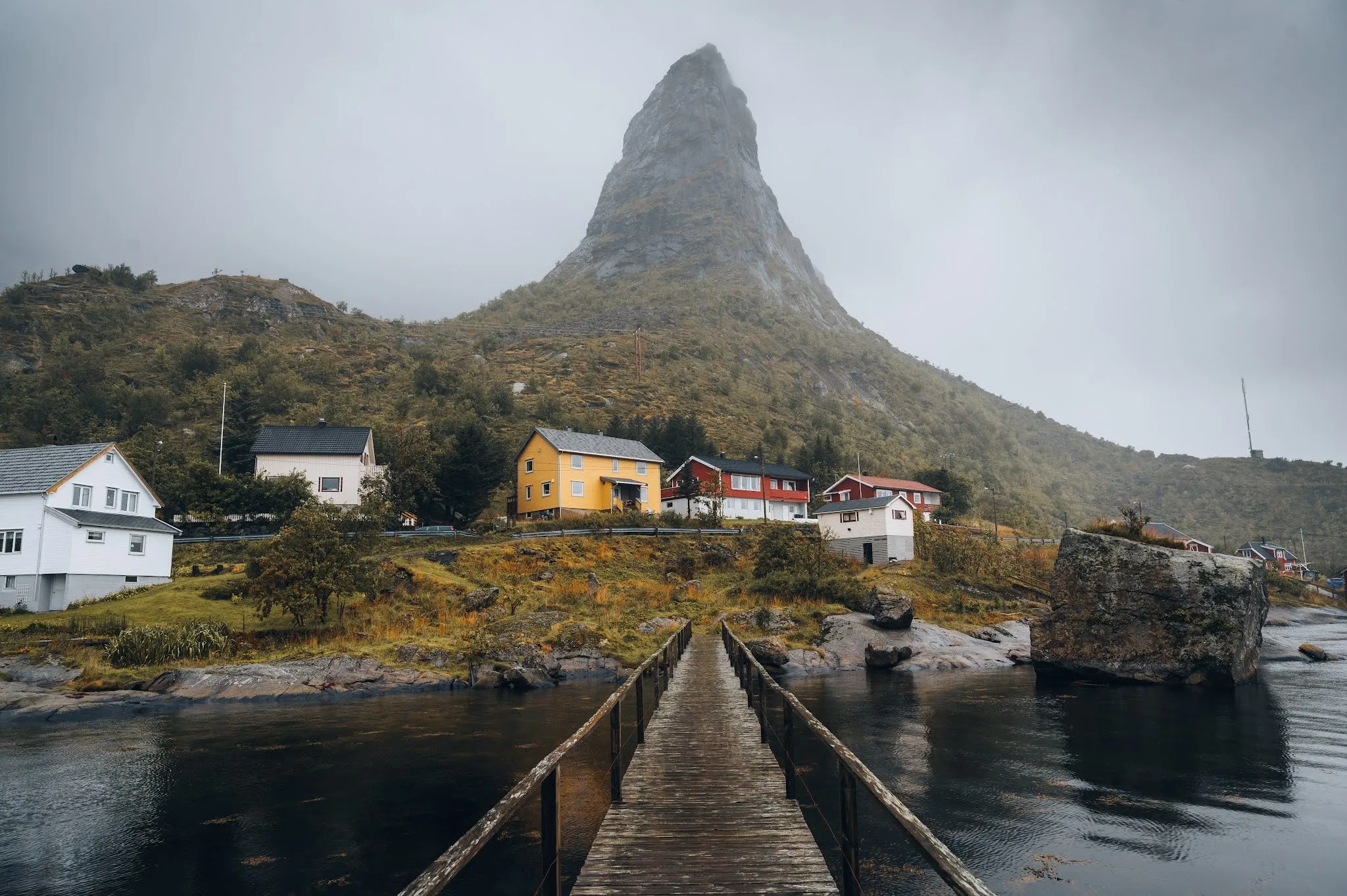
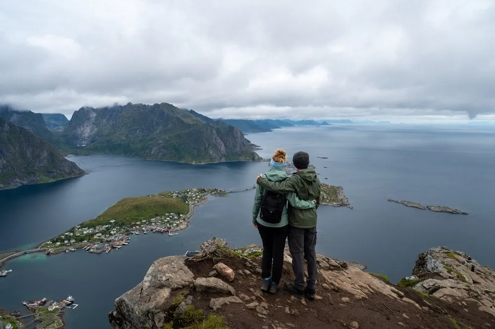
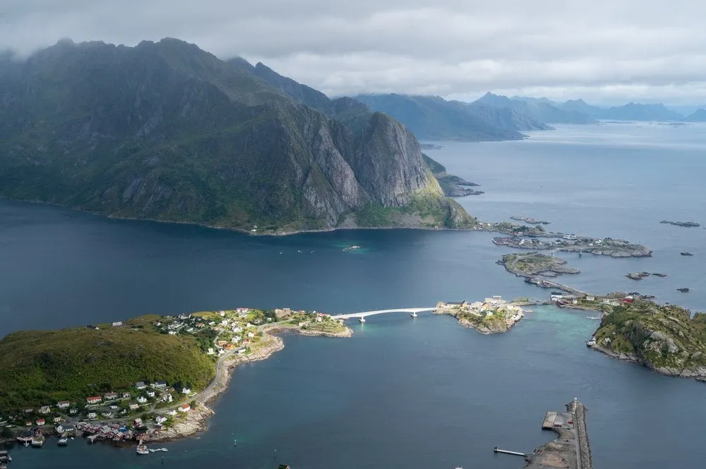
The most famous view in the Lofoten, reached via the sherpa steps (about 1 hour up). Reine, fjords and peaks in a single frame.
Reinebringen, Lofoten
67.9261° N 13.0753° E
Best time: Morning, before the crowds
A stone staircase built by Tibetan sherpas, 448 metres of ascent, then the best-known view in the Lofoten over Reine and the fjords.
Ryten above Kvalvika Beach
68.0890° N 13.0928° E
Best time: Midnight sun · June to July
543 metres above Kvalvika Beach, with the overhanging rock as a viewing platform. Two to three hours up from Fredvang.
Sakrisøy, Lofoten
67.9415° N 13.1117° E
Best time: Morning light · all year
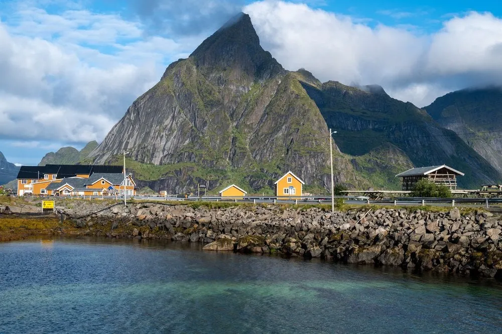
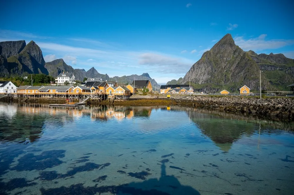
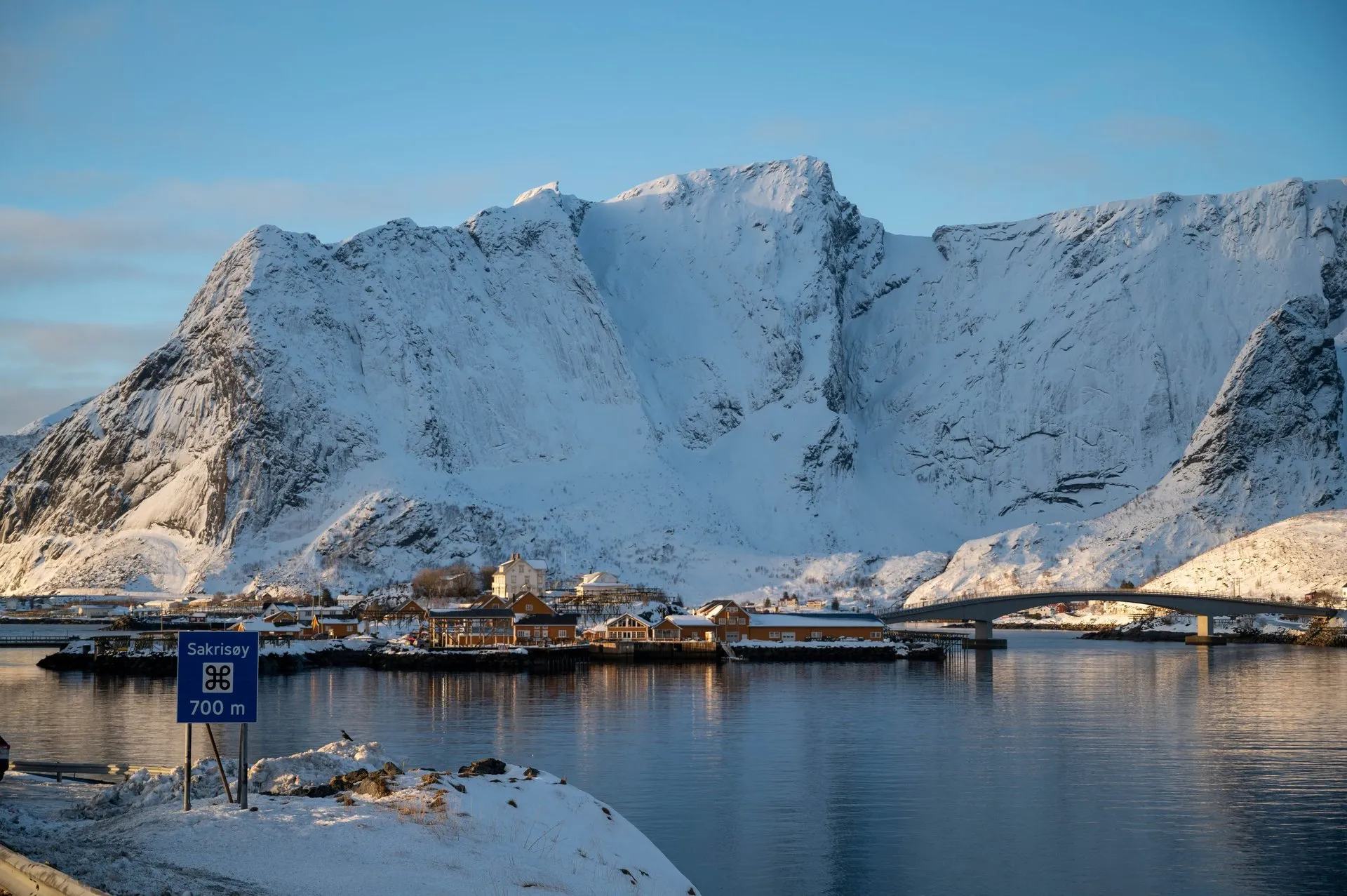
Sakrisøy's ochre-yellow rorbuer cabins beneath the pyramid of Olstind, one of the most photographed scenes in the Lofoten, right off the E10.
Sandvika, Vesterålen
68.7570° N 14.4733° E
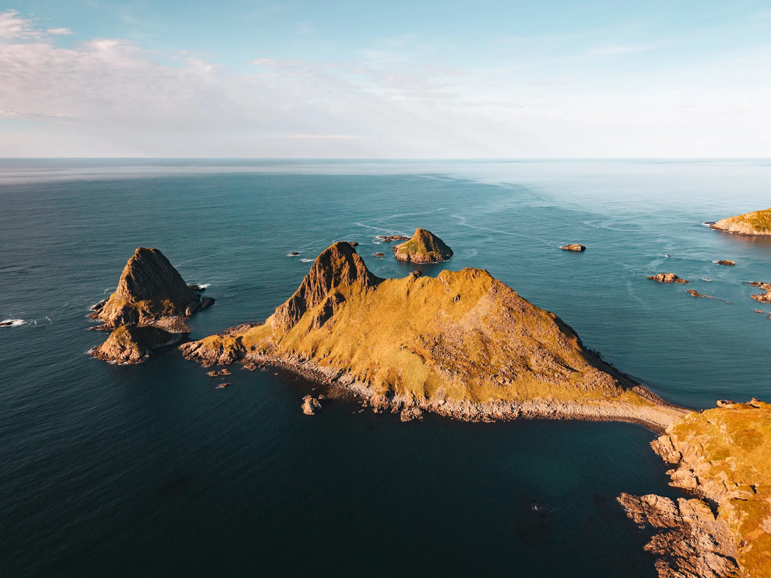
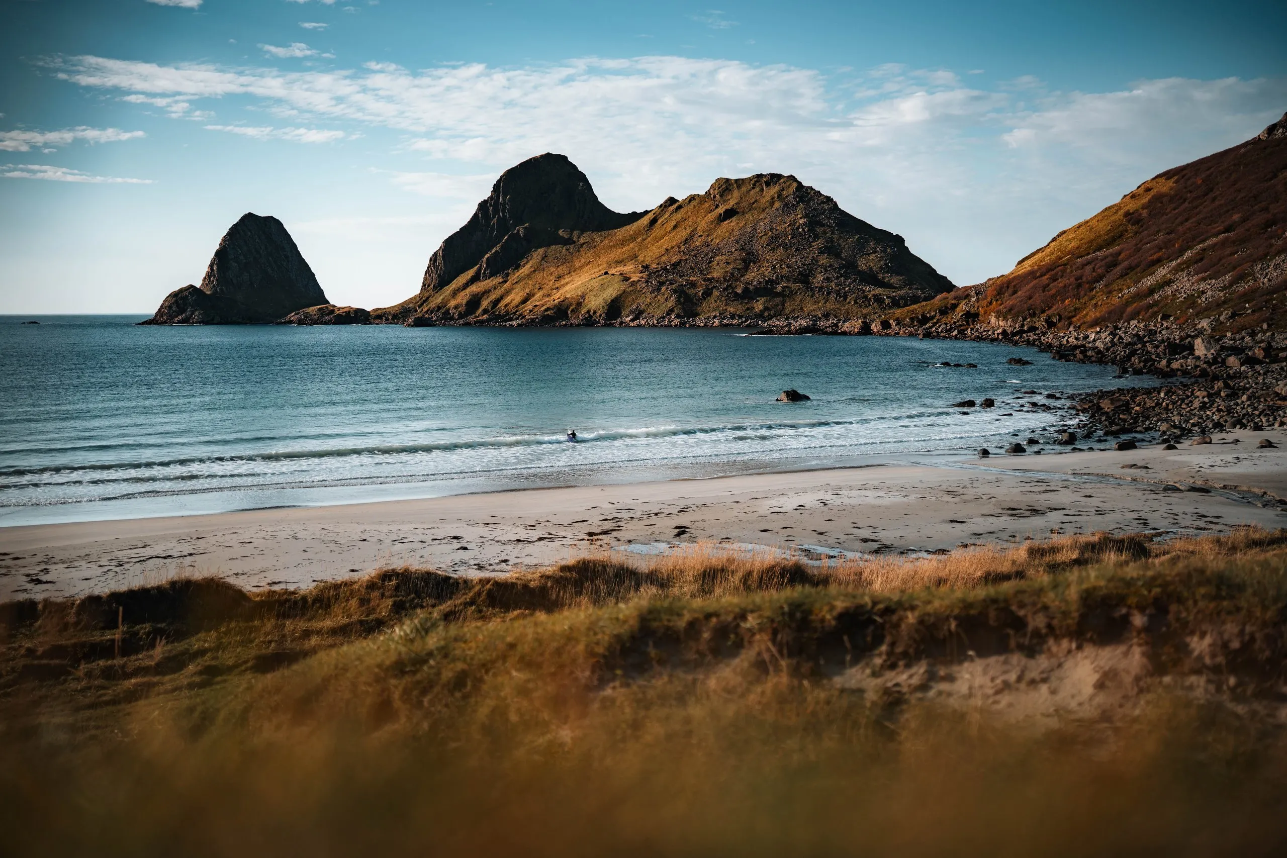
A lonely sandy beach in the bay of Sandvika near Bø. Off the coast the rocky peninsula of Engenyken and the pointed island of Spjøten rise from the sea.
Skagsanden Beach, Lofoten
68.1051° N 13.2917° E
Best time: Northern lights · September to March
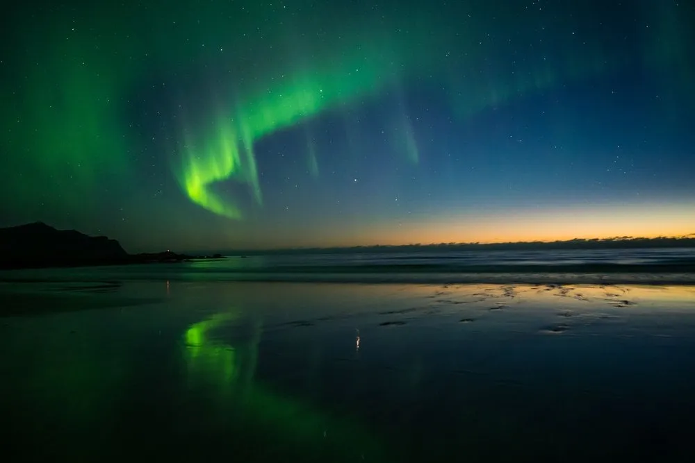
A wide sandy beach whose thin film of water mirrors the mountains and, in winter, the northern lights. Park by the cemetery and walk in.
Skårvågsfjellet, Vesterålen
68.6921° N 14.4116° E
Best time: Evenings in clear weather, for the sunset over the sea
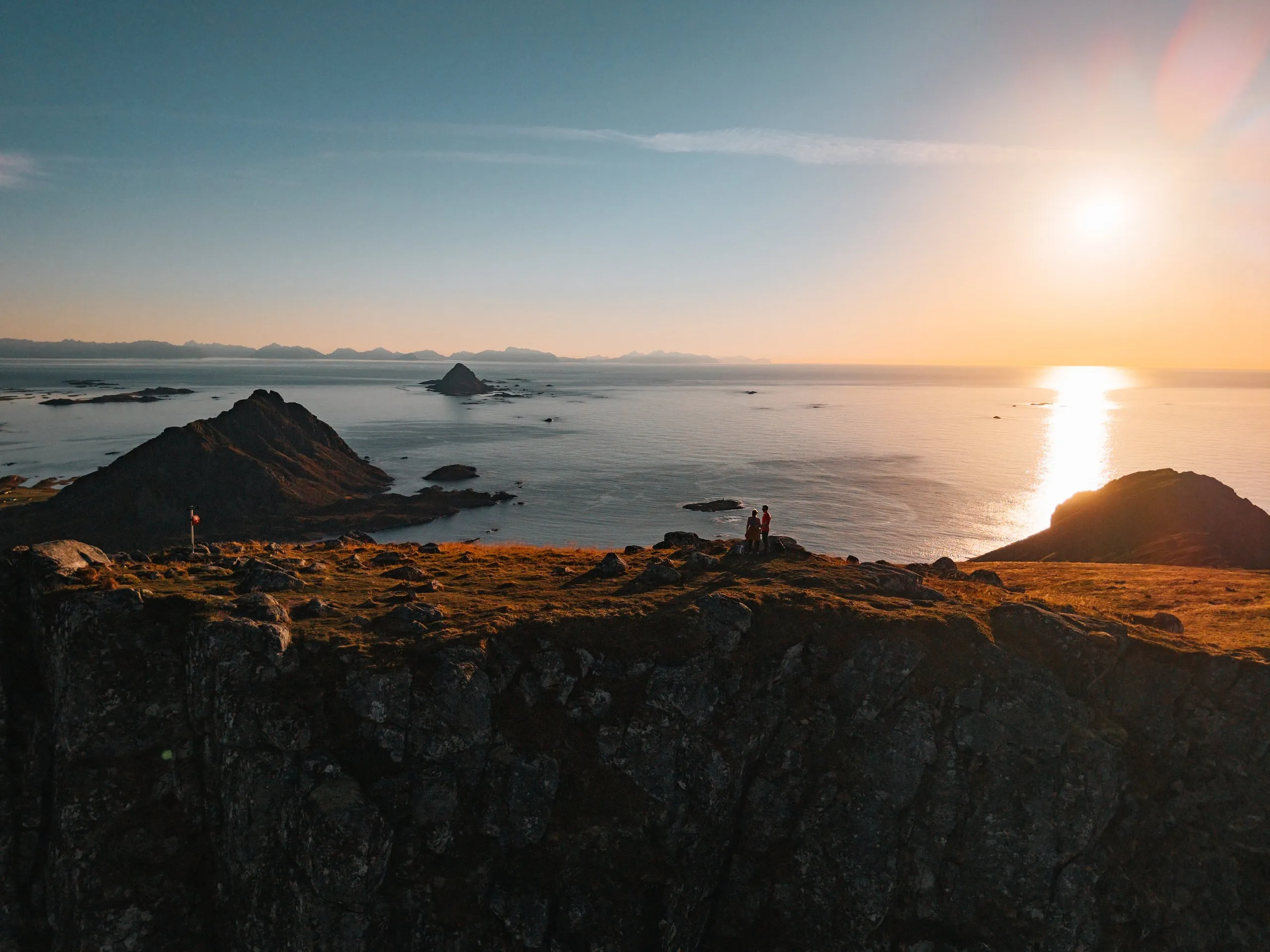
From the 403-metre summit near Bø the view reaches over countless islands to the pointed Gaukværøya and Lofoten. About 400 metres of ascent.
Storseisundet Bridge
63.0166° N 7.3560° E
Best time: Evening light · all year
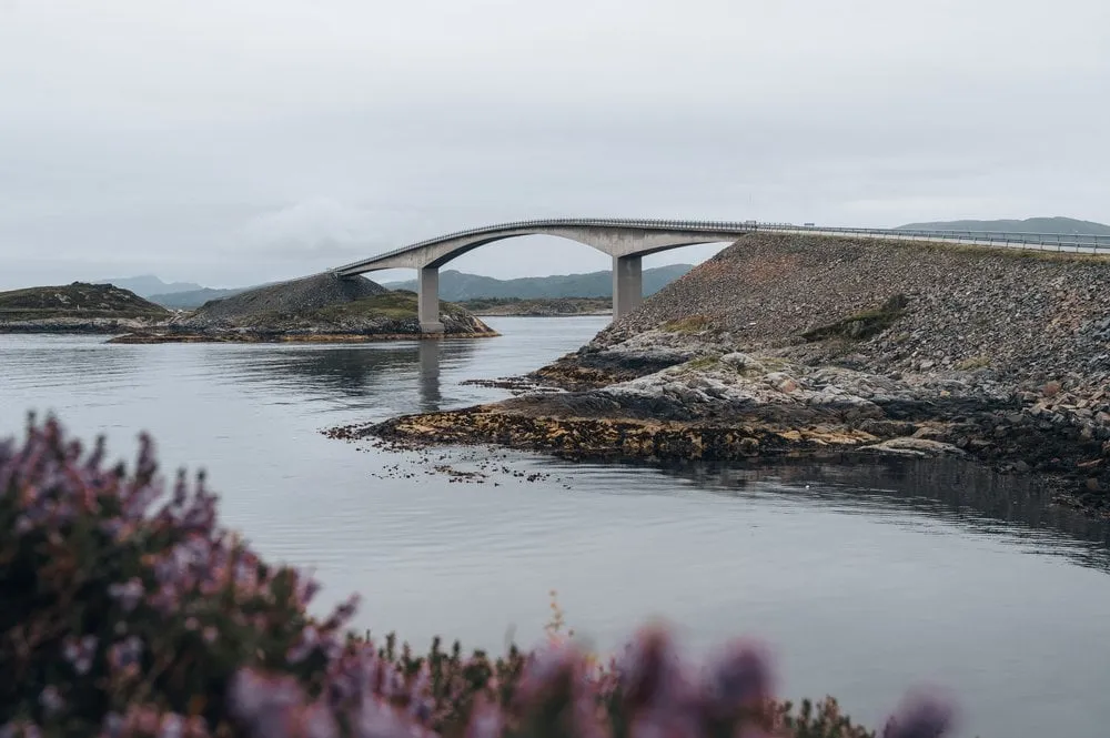
The Atlantic Road's "bridge to nowhere". Best angle from the small hill on the south side, where a telephoto compresses the curve perfectly.
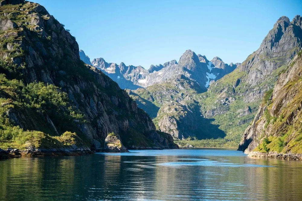
Trollfjord, Lofoten
68.3628° N 14.9361° E
Best time: Midday, when light reaches into the fjord
A two-kilometre fjord with an entrance barely 100 metres wide, walled in by 600 to 1000 metre faces. Reachable only by boat.
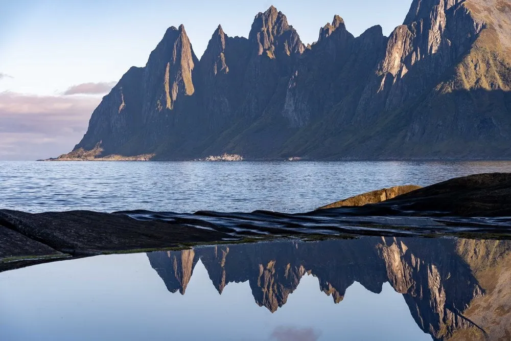
Tungeneset, Senja
69.4870° N 17.3333° E
Best time: Sunset · aurora season
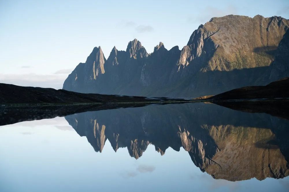
A boardwalk right on the coast facing the jagged Okshornan peaks, dramatic in heavy seas and under winter auroras.
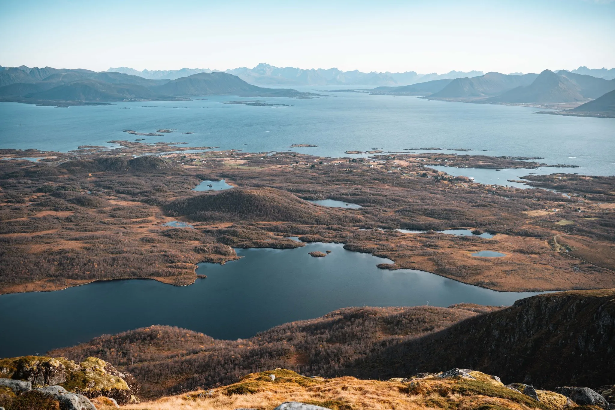
Vetten, Vesterålen
68.6392° N 14.5424° E
From the 467-metre Vetten, one of the most popular summits in Bø, you see all around over lakes, bogs and islands to Lofoten. Next to the summit stands the open hut Vettenbua.