
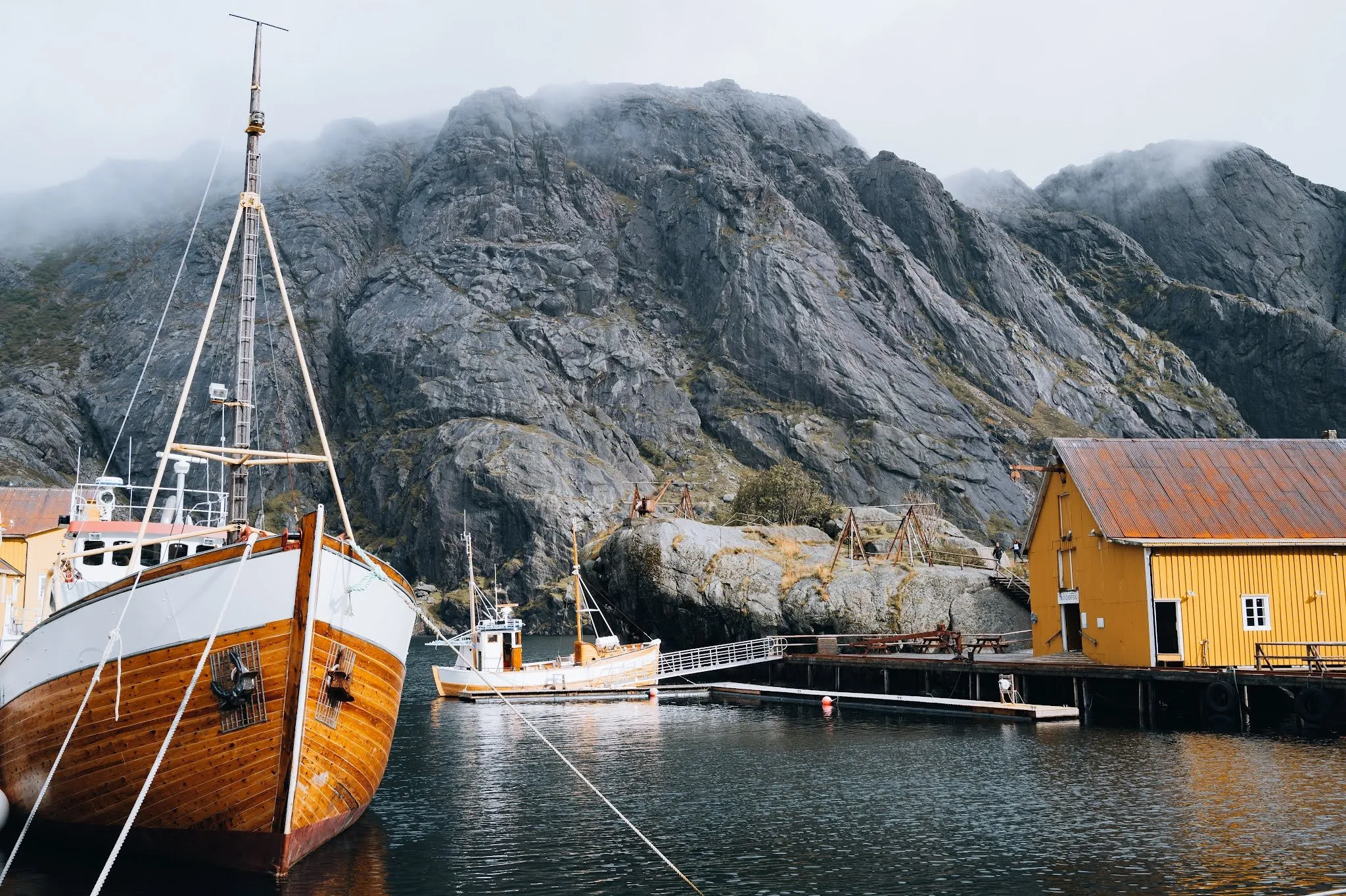
Today we enjoy a delicious breakfast with a view from our mini-villa. It stands on Olenilsøy, the island right next to Sakrisøy. We look out at the beautiful yellow houses of Sakrisøy, wonderfully reflected in the arm of the fjord. They are rorbuer, standing on stilts above the clear water, with the pointed Olstind rising behind them. Rorbuer are houses in fishing villages where fishermen from elsewhere stay during the big seasonal fisheries. The need for them has fallen sharply, and it has become common to rent them out to tourists.
We want to climb Reinebringen, so we set off fairly early for the start of the hike, the Steffenakken car park on the E10. We park there for free, and the car park lies south of the bridge over the Djupfjord. From there we walk about 25 minutes along the road to the Reinebringen trailhead, a distance of 1.3 kilometres. It is our second time up. We were up here once before, in September 2021, back then over 1566 steps, some of them very high. Where the stairs stopped, the path carried on through deep mud, and it was foggy at the top.
A steep path of stone steps built by Sherpas from Nepal leads to the summit. Work on the staircase began in 2016, because the old path was eroding more and more under the many visitors and there was a risk of rockfall. From the trailhead on the road it is about 430 metres of ascent in just over a kilometre. The summit above the stairs is 449 metres above sea level, while the highest point of Reinebringen, at 484 metres, lies a good 200 metres further west. On the way and at the top we enjoy the incredible view over fjords, mountains and lakes.
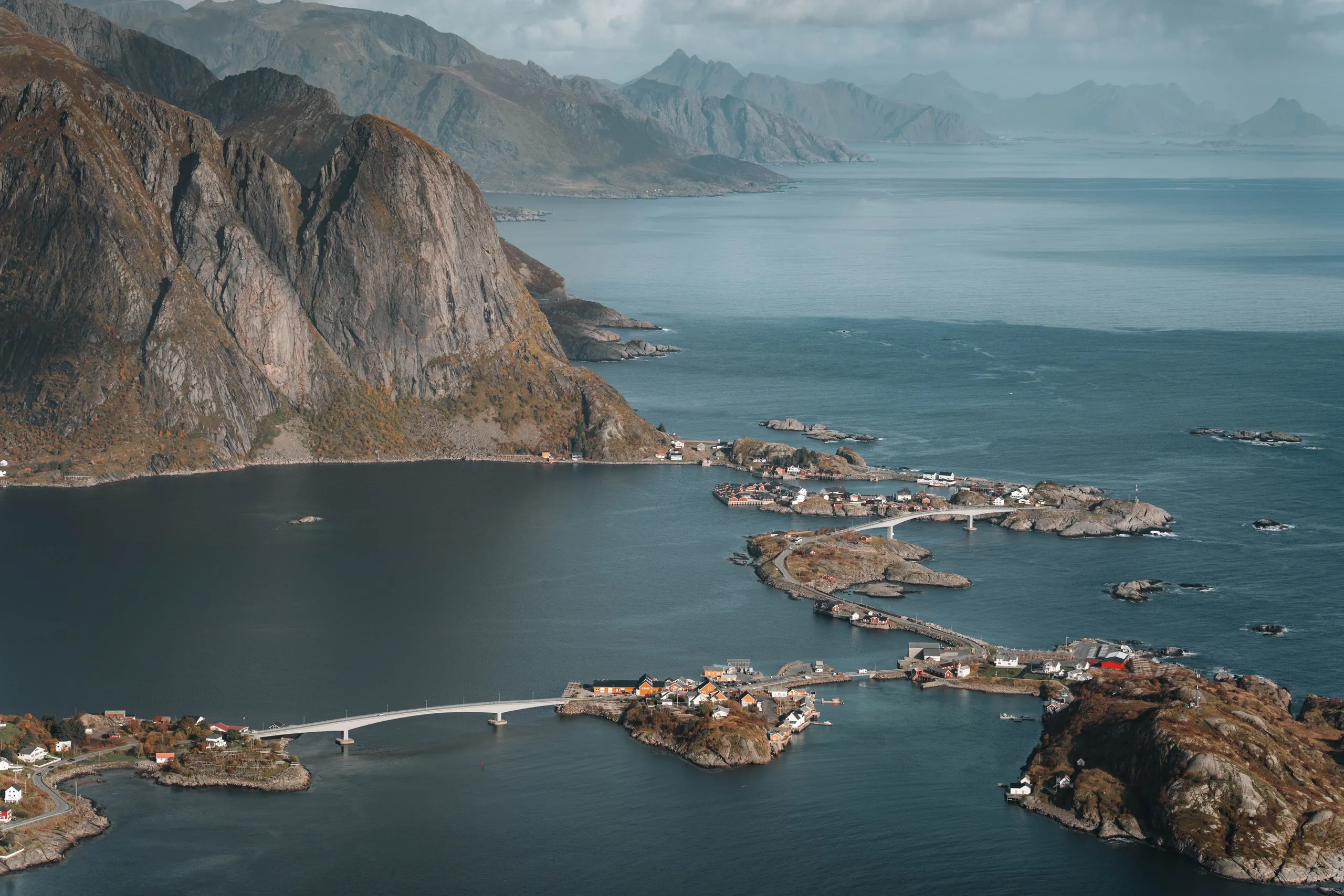
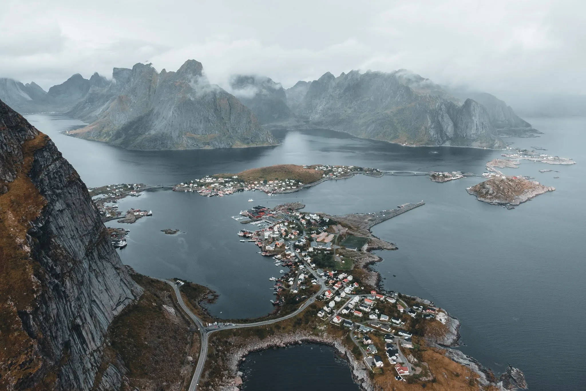
We are very lucky with the weather: When we reach the top, it is still sunny for a short moment before it gets increasingly cloudy. Below us lies Reine, the administrative centre of Moskenes municipality, on a peninsula. The E10 crosses the mouth of the Reinefjord on bridges between the islands. Reine is a fishing village with a long tradition. The Lofotfisket, the catch of spawning cod (skrei) from February to April, is particularly important here. We have homemade sandwiches for lunch, then start the descent.
At the bottom, Annina calls the family and Nicolas launches the drone. The photos show the coast road from above, and the mountains in the distance are already disappearing into the mist. When we get back to the car, it starts to rain lightly. We’ve been lucky once again!
After shopping and a short detour to the Lofoten Store, we drive to our mini-villa, where we enjoy a cosy apéro and a delicious dinner. After dinner, just like the evening before, we play a round of Monopoly on the iPad, and Annina beats Nicolas for the third time in a row…
Comments
Questions, tips or just a hello: We are happy about every message.