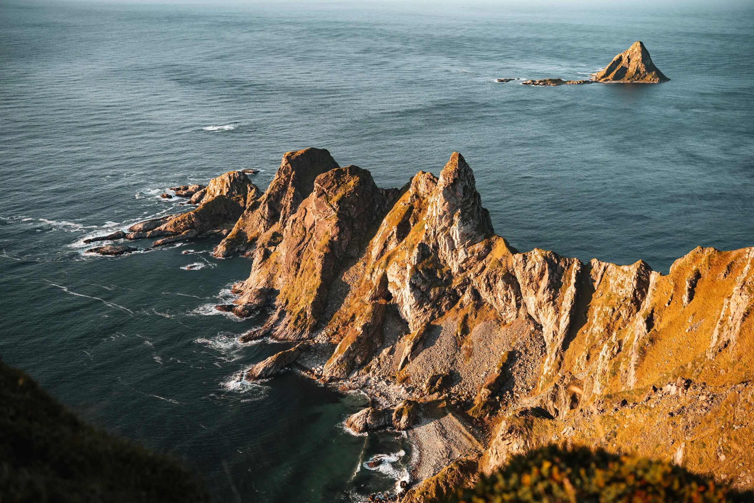
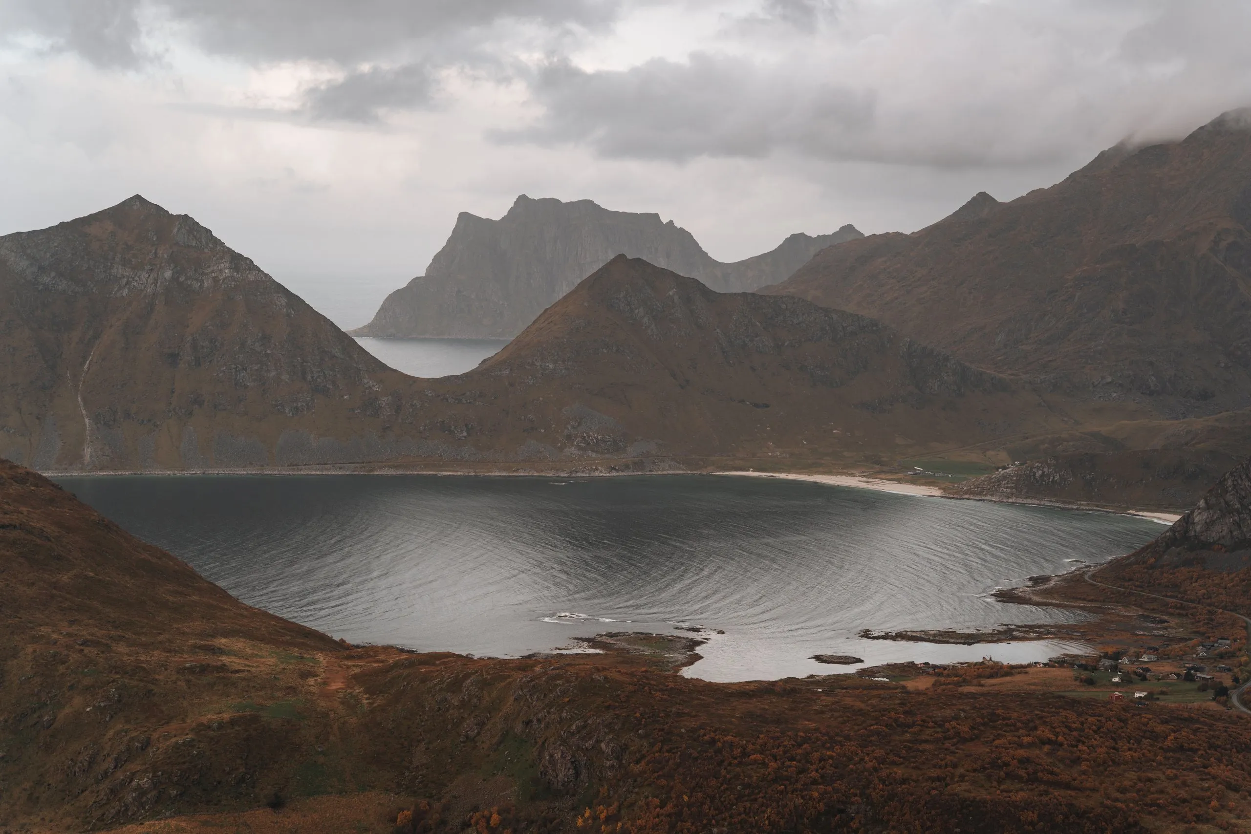
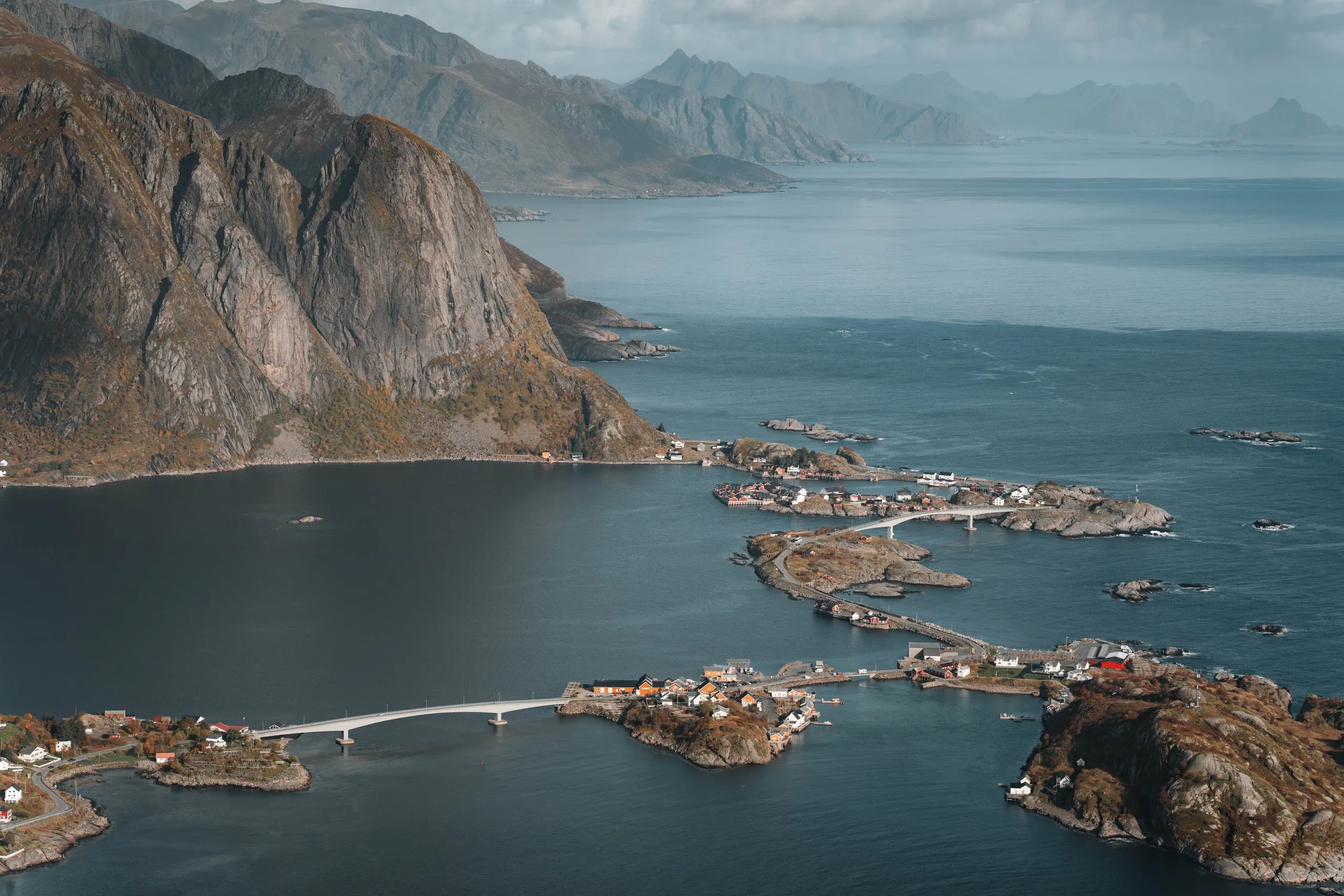
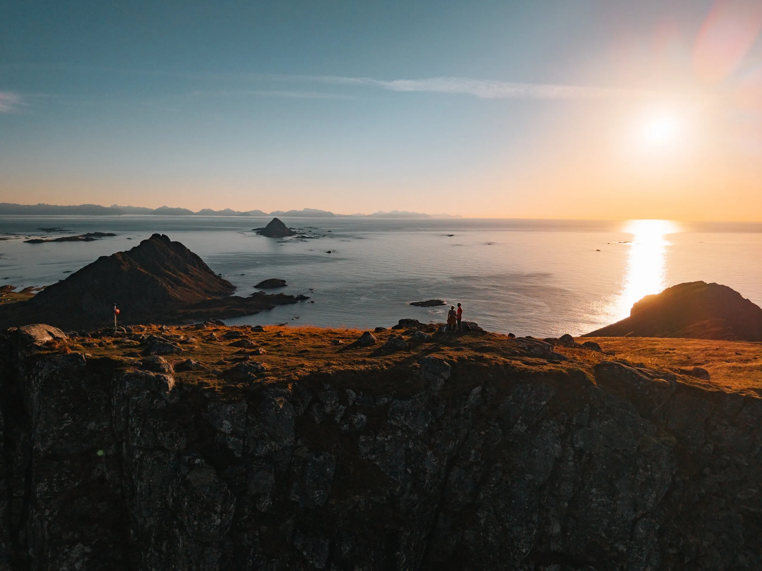
From Vindstad over the pass to Bunes Beach
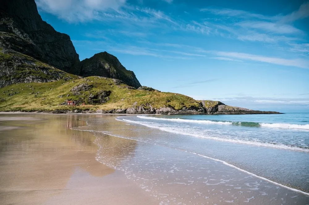
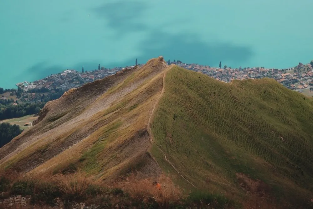
By boat from Reine to Vindstad and on an easy path over a low pass to remote Bunes Beach, with map and GPX.
- Distance
- 5.8 km
- Ascent
- 147 m
- Highest point
- 75 m
Our time Not recorded
The hikes from our travel days as route guides: Where the path starts, where to park, how steep it gets and how long it took us. With map, elevation profile and the photo spots along the way.
11 hikes in 3 countriesGraded on the DNT scale in Norway and the SAC scales in Switzerland. Where there is no official grade, we grade from our own visits. Hikes without a grade are listed under “Not graded”.
Moskenesøya, Lofoten · Senja · Vestvågøya, Lofoten · Andøya, Vesterålen · Langøya, Vesterålen
By boat from Reine to Vindstad and on an easy path over a low pass to remote Bunes Beach, with map and GPX.
Our time Not recorded
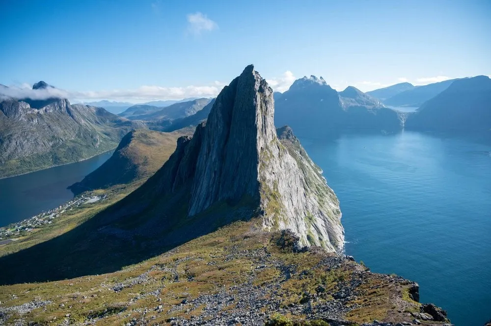
Moskenesøya, Lofoten From Vindstad over the pass to Bunes Beach 5.8 km · 147 m ↑ · 75 m From Fjordgård on Senja up the 556 metre Hesten with a view of Segla: At the end a scramble up a steep rock face, with map and GPX.
Our time A little over four hours there and back, including the summit stop and a picnic
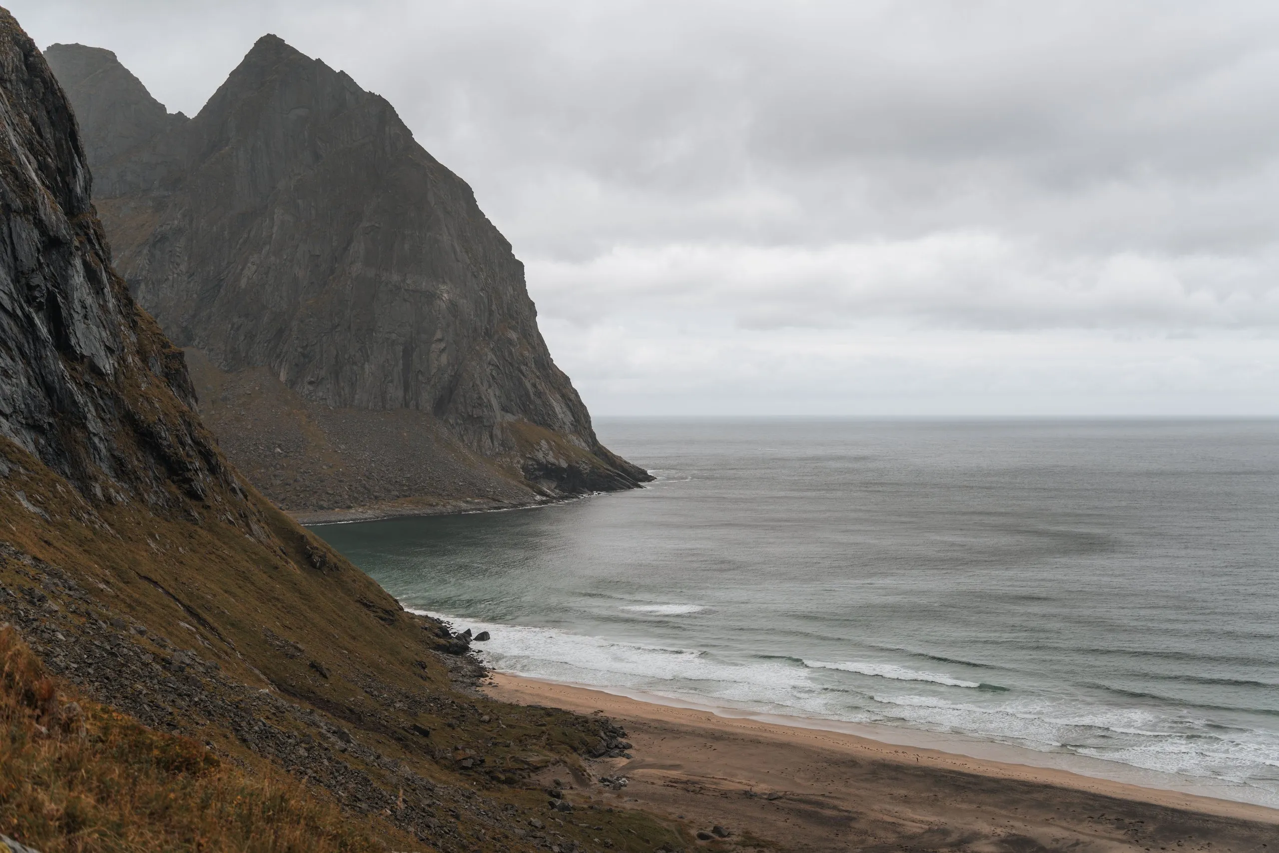
Senja Hesten 3.9 km · 507 m ↑ · 556 m From Fredvang over 543 metre Ryten down to Kvalvika Beach and back on the direct path over Skoren to Torsfjorden, with map and GPX.
Our time In 2022 two to three hours up Ryten, and after the way back over Skoren another hour along the road. Not recorded for the direct path in 2021 or for 2026.
Moskenesøya, Lofoten Kvalvika Beach and Ryten 8.5 km · 773 m ↑ · 542 m From the car park at Hauklandstranda steeply and over large boulders up the 400 metre Mannen, with views of the sea and beaches, with map and GPX.
Our time Not recorded
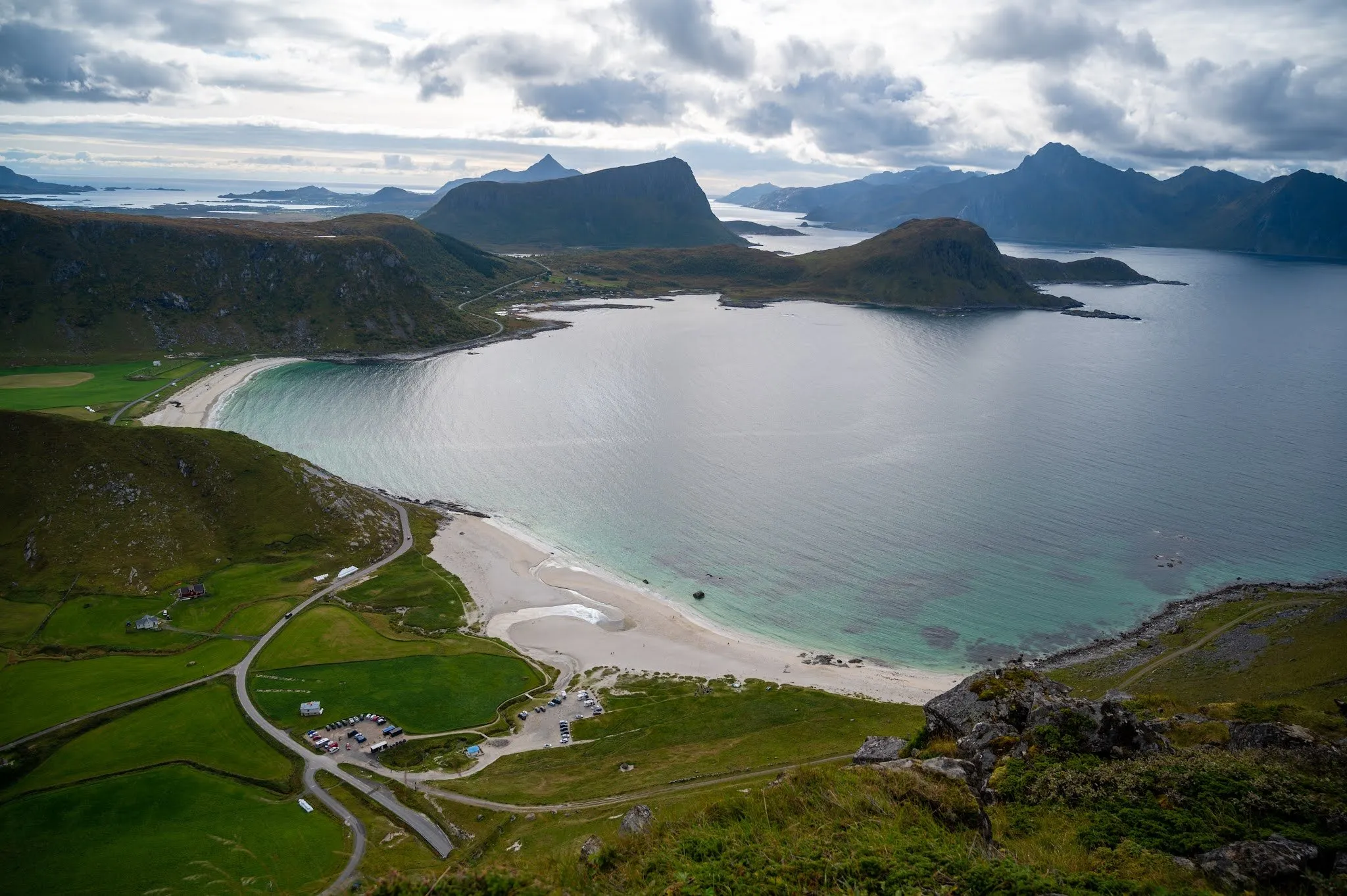
Vestvågøya, Lofoten Mannen from Haukland Beach 4.3 km · 387 m ↑ · 398 m From the car park at Bauktuva between Stave and Bleik up the 408 metre Måtind on Andøya, looking out over Bleik and Bleiksøya, with map and GPX.
Our time About an hour and a half up, the time for the descent is not recorded
Andøya, Vesterålen Måtind 7.7 km · 513 m ↑ · 408 m Our favourite hike in the Lofoten: From the Skreda rest area steeply up the 436 metre Offersøykammen with an all-round view, with map and GPX.
Our time One to one and a half hours up
Vestvågøya, Lofoten Offersøykammen 3.6 km · 449 m ↑ · 436 m Up the sherpa steps to Reinebringen above Reine: Free parking at Steffenakken, 430 metres of ascent in just over a kilometre, with map and GPX.
Our time About 45 minutes up the stairs, plus 15 to 25 minutes each way along the E10
Moskenesøya, Lofoten Reinebringen 4.7 km · 455 m ↑ · 449 m From the bay of Krumsvågen near Bø up the 403-metre Skårvågsfjellet: Across the bog and along the ridge to a view of Lofoten, with map and GPX.
Our time An hour and a half up, we did not record the descent
Langøya, Vesterålen Skårvågsfjellet 4.8 km · 405 m ↑ · 402 m Jungfrau-Aletsch, Valais · Entlebuch, Lucerne
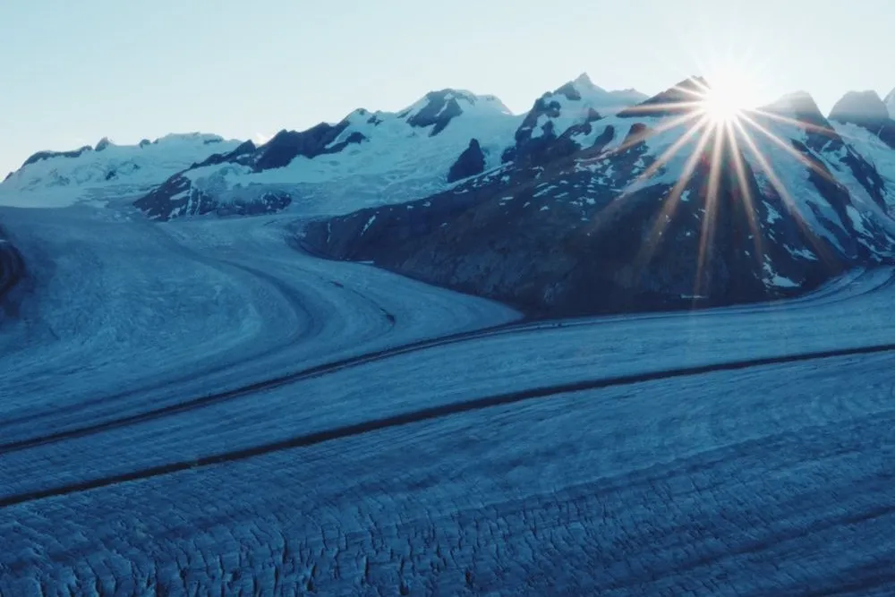
Two days roped up across the Great Aletsch Glacier: From the Jungfraujoch to the Konkordia Hut and on to Märjelensee and Fiescheralp.
Our time Day 1 about 3 h 30 to 4 h, day 2 about 3 h to Märjelensee
Jungfrau-Aletsch, Valais Across the Aletsch Glacier 3,454 m · 2 days Mountaineering tour From the valley station in Sörenberg on foot past the Eisee to the Brienzer Rothorn, with a swim in the lake and the gondola back, with map and GPX.
Our time Not recorded
Entlebuch, Lucerne From Sörenberg past the Eisee up to the Brienzer Rothorn 6.3 km · 1,119 m ↑ · 2,348 m Posio, Lapland
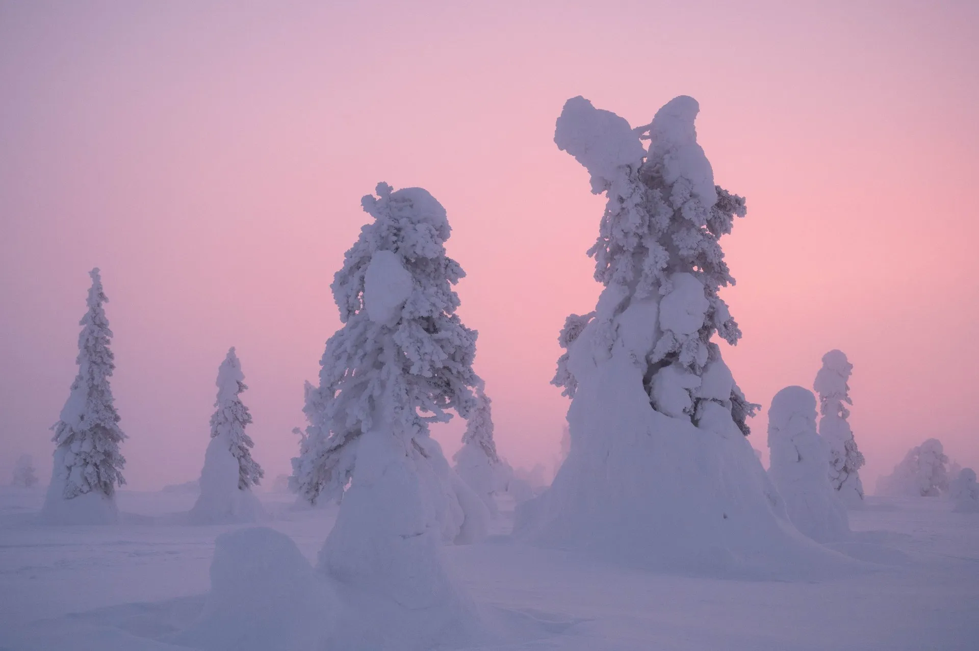
Twice in February at -25 °C up Riisitunturi near Posio: The Riisin rääpäsy loop to the snow-covered spruces of the plateau, with map and GPX.
Our time Not recorded
Posio, Lapland Riisitunturi in winter 4.6 km · 114 m ↑ · 454 m No hike matches this filter.
This sends your IP address to the OpenStreetMap Foundation. You can change it any time in the .
Distance, ascent and elevation profile are counted from the track: Paths from OpenStreetMap, heights from the national terrain models of Kartverket and swisstopo, elsewhere from EU-DEM and SRTM. The walking times are our own. There is no track across glaciers, so we only show the waypoints there.