Stångehuvud is a nature reserve at the outermost tip of the Stångenäset peninsula in Lysekil, on the west coast of Sweden in Bohuslän. According to the County Administrative Board of Västra Götaland it covers about 48 hectares, and the houses of Lysekil reach right up to its boundary. We were there on 9 June 2021, as the second-to-last stop on our drive from Åmål to Henån on the island of Orust. In the reserve there is a path that leads towards the sea.
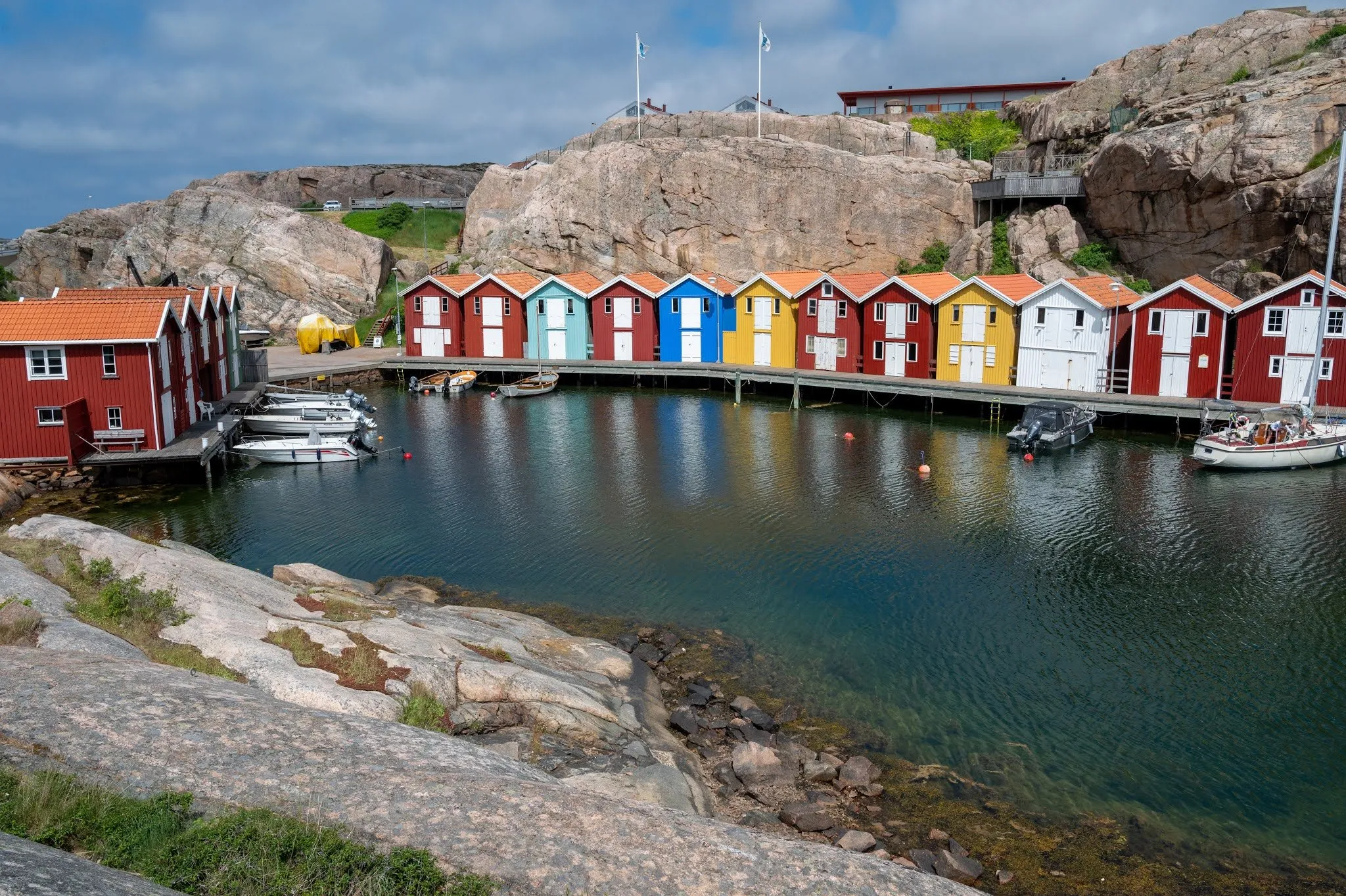
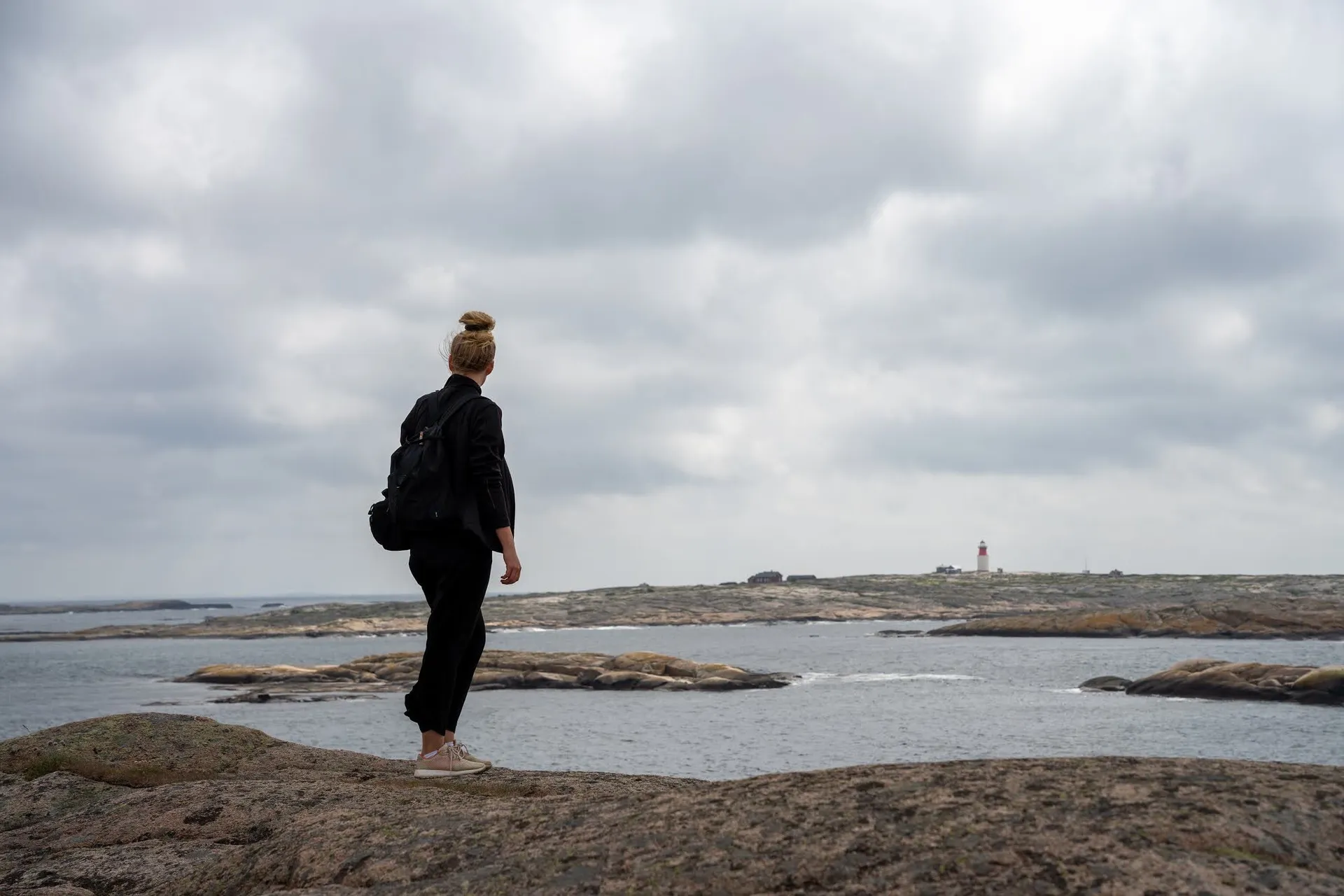
We take this path towards the sea. As in the morning at Smögenbryggan, we have a very beautiful view of sailing boats, and we enjoy the sea breeze blowing around us. Where we parked and how long we were out, we did not record.
According to the County Administrative Board, roads and paths lead into the reserve from car parks in the north and in the south. Our track starts at the northern car park, which carries the name of the reserve in OpenStreetMap. According to OpenStreetMap there is room for about 10 cars there, parking is free and limited to four hours. To the south lies the Pinnevik car park near Gullmarsvallen. According to OpenStreetMap it has 30 spaces and charges a fee in summer, with a toilet next to it. According to the County Administrative Board you can also get there by bus.
From the northern car park, paths lead southwest, and on the way a flight of steps goes down. According to the County Administrative Board the paths in the hilly parts are easy to walk and laid out with steps and boardwalks. Several paths lead through narrow clefts and past cave-like formations. Our track ends by the Stångehuvud headland and returns the same way. One way is 715 m, so 1.43 km there and back. The car park is the highest point at 14 m, the headland lies almost at sea level. Because the path goes up and down, there and back adds up to about 21 m of ascent. Which of the paths we took to the sea, our post does not say. We found no published walking time for this short stretch. Västkuststiftelsen offers a guided coastal walk of 8 to 9 km from Pinnevik and rates it as medium, because of high steps on the rocks and a steep staircase. That is a different, much longer tour.
According to the County Administrative Board, Stångehuvud is the southernmost tip of the Bohuslän granite area. The ice ground the rocks into roches moutonnées with soft shapes, on which clear glacial striations can be seen, crossed here and there by pegmatite veins. According to Wikipedia the red Bohus granite is about 920 million years old.
In the second half of the 19th century this granite was in great demand, according to Wikipedia. To save a beautiful piece of coast from quarrying, Calla Curman bought land from 1916 onwards and donated it in 1925 to the Royal Swedish Academy of Sciences. Today, according to the County Administrative Board, the municipality of Lysekil and the Academy manage the reserve. To the north lies Galleberget, a former quarry that has been left almost unchanged for reasons of cultural history. On Galleberget, according to Wikipedia, the Victoriastigen has run since 2010, a path that can also be used with a wheelchair. At the very tip stands an old wooden lighthouse, built in 1890. It was switched off in 1940, the wooden house remained, and since 2014 it has been lit again with power from a solar panel. In 2019 the Regional Council of Västra Götaland chose the lighthouse of Stångehuvud as one of the seven wonders of the region.
According to the County Administrative Board, motor vehicles, including mopeds, are banned in the reserve, as are camping and caravans. Dogs must be kept on a lead, fires are only allowed at the designated places, and you must not pick plants. On the cliff coast to the west you can swim and fish.