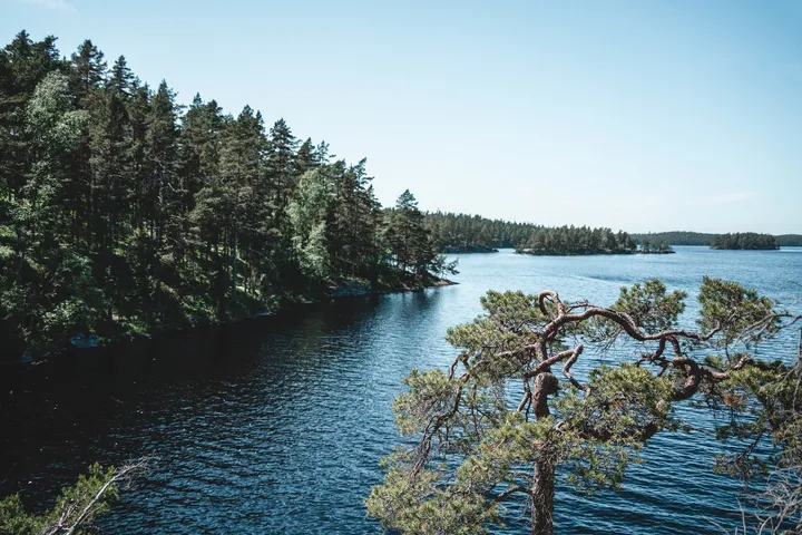
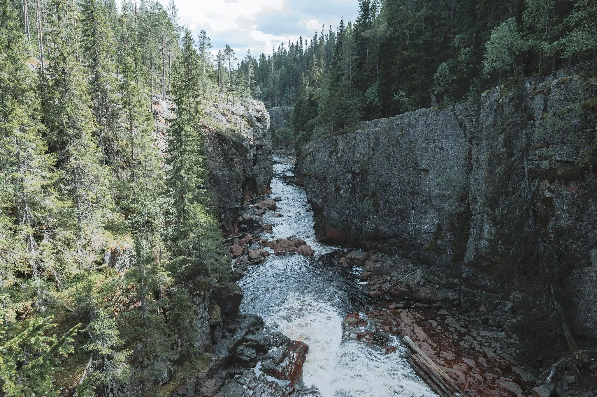
In Tiveden National Park near Tived the forest develops entirely naturally, undisturbed by the large-scale forestry of recent decades. Such a large, continuous area of old forest is very unusual in southern Sweden. The park covers an area of 2030 hectares. According to Wikipedia it was founded in 1983 and extended in 2017. In the Middle Ages, according to Wikipedia, outlaws hid in these forests. The terrain is very hilly and full of boulders, so the hikes are exciting but in places also demanding.
We were there on 16 June 2021, as the first stop on the way from Götene to Norrköping. That day we had 3.5 hours of pure driving time ahead of us. We choose a route that leads directly past several lakes and is actually meant as a circular hike that would take over 6 hours. We do not have that much time. We walk the beginning of the loop and after a little while go back the same way. We did not record how far we got or how long we were out.
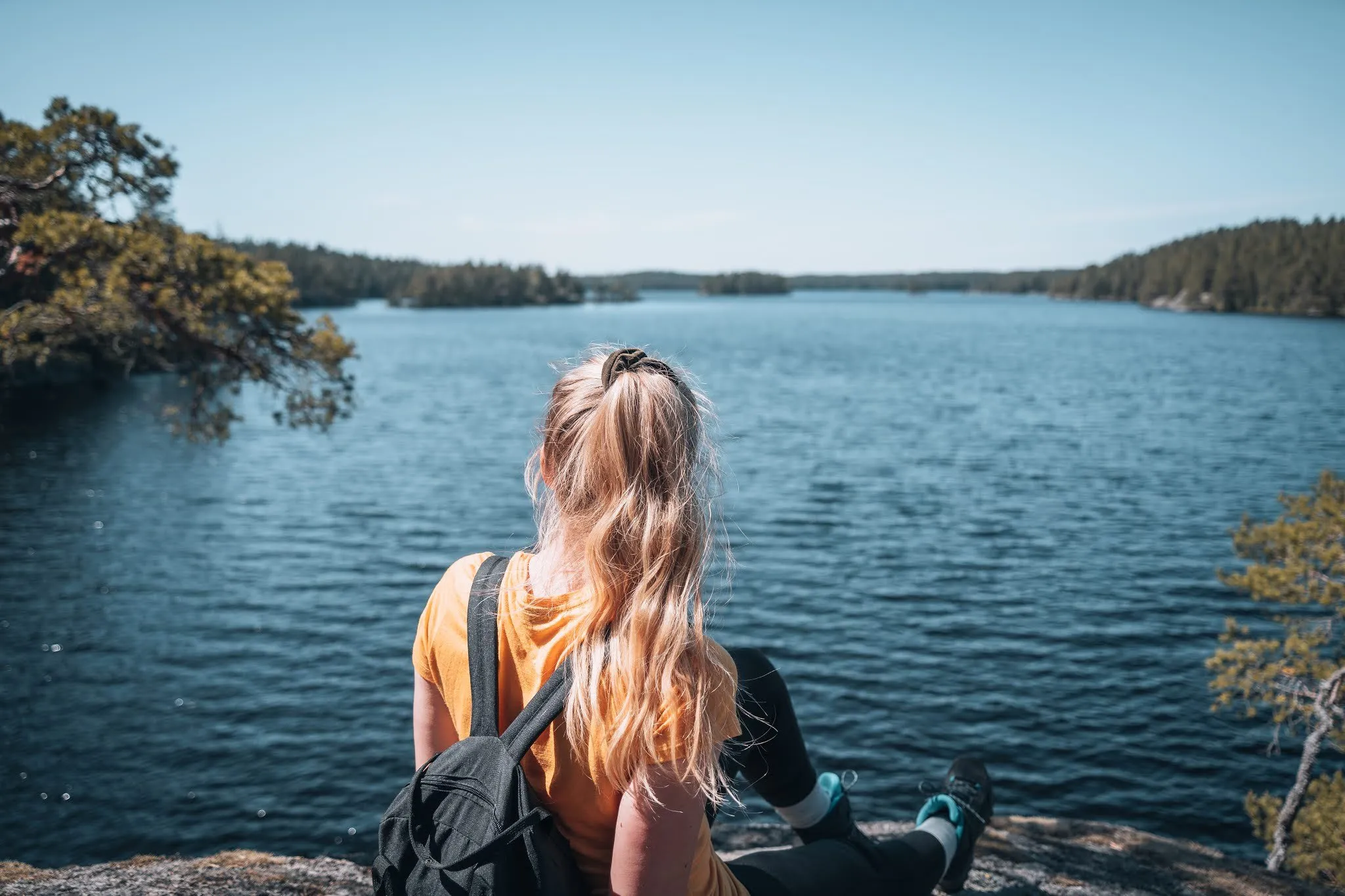
The forest is dense and completely covered in vegetation right down to the ground. Along the way there are again and again viewpoints over the lake, whose water is coloured reddish and yellowish by the humus. The rays of the sun fall through the dense canopy onto the soft, moss-covered ground. Boulders and fallen trunks lie on the slope, a bracket fungus grows on a dead tree, and a small bay has a sandy shore. Of the national parks we had visited until then, Tiveden is our favourite for hiking.
Our post does not name the loop. Going by the description, it is Trehörningsrundan, the longest trail in the park. According to the Swedish national park authority it goes all the way around the lake Stora Trehörningen, is 9.5 km long, marked in purple and passes all the park’s entrances. The authority reckons with four to five hours, Västsverige with about six hours including breaks and rates the trail as medium to hard. The map, figures and GPX on this page show the whole loop from the main entrance anticlockwise, as it is mapped in OpenStreetMap, not our short stretch.
The main entrance lies in the middle of the park and according to the park authority can be reached via road 49 between Karlsborg and Askersund. A bus only runs on request via Närtrafik. There is a car park, toilets, information and an exhibition. Another car park is at the Vitsand entrance in the northwest. According to Västsverige parking is only allowed in the designated places, and not with a campervan or caravan between midnight and 6 am.
From the main entrance to Vitsand
From the car park the trail heads northwest, past a signpost to the Vitsand entrance. On our track that is about 2.6 km. According to Västsverige the loop leads through old forest, over bare rock, past beaches and through wetlands fragrant with marsh Labrador tea. Long stretches run right along the shore of Stora Trehörningen. If the car park at the main entrance is full, which according to the park authority often happens from June to September between 11 am and 2 pm, the loop can also be started at Vitsand.
From Vitsand to Ösjönäs
According to Västsverige the stretch between Vitsand and Ösjönäs is the least hilly part of the loop and relatively easy to walk. On our track the Ösjönäs entrance is at about km 6.1.
Over the high ground back to the main entrance
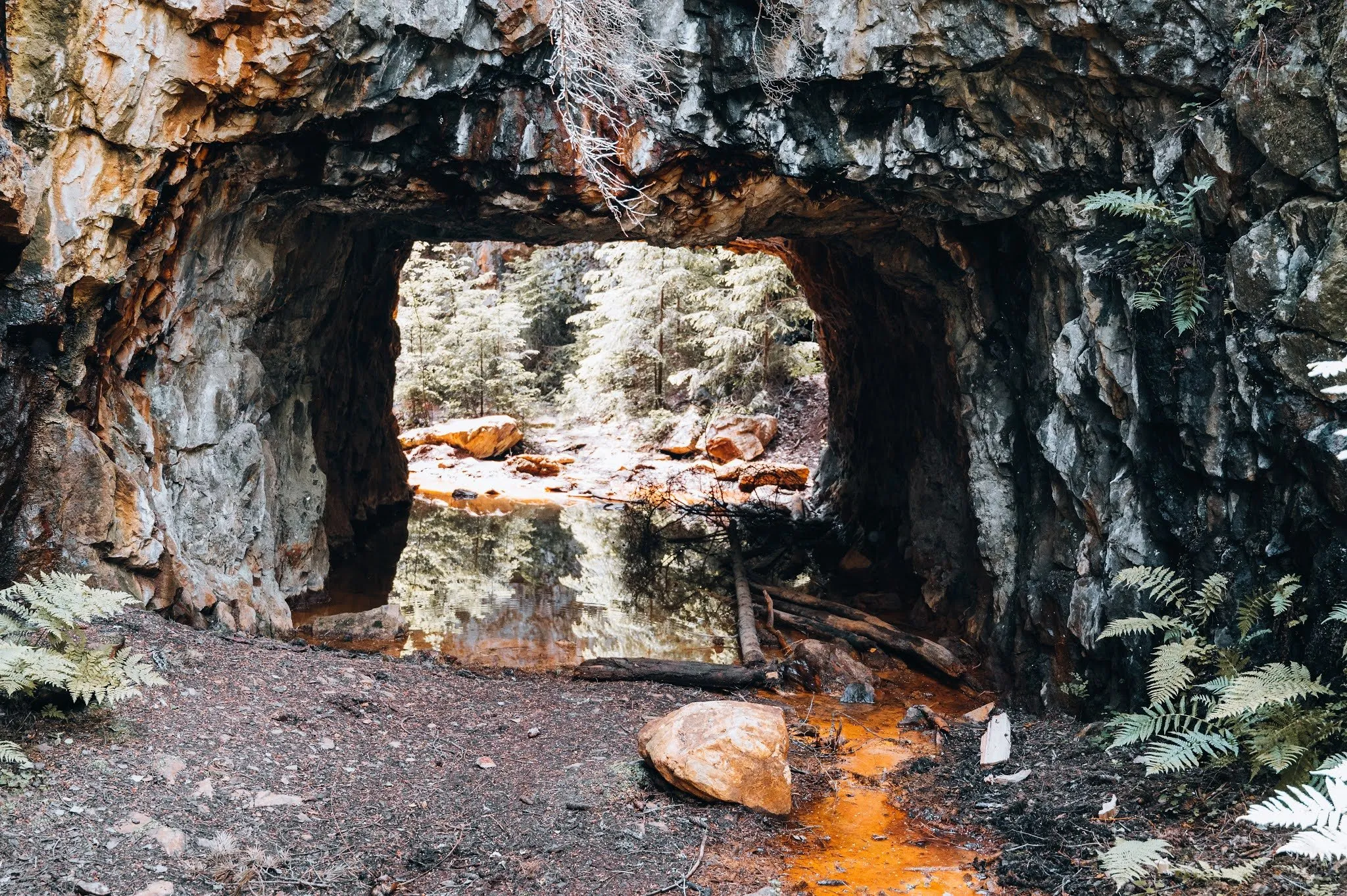
After Ösjönäs the trail climbs. On our track the highest point of the loop is at about km 7, east of Ösjönäs. According to Västsverige you pass charcoal stack sites that are 100 to 200 years old, as well as glacially polished rock and potholes. In OpenStreetMap a pothole is mapped about 150 m off the trail above Ösjönäs. After that the loop leads back to the main entrance.
The park authority is planning controlled burns for 2026 to encourage the pine. In OpenStreetMap a signpost to a fire area is mapped along the trail shortly before the main entrance.