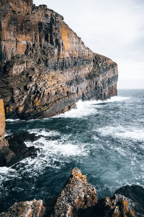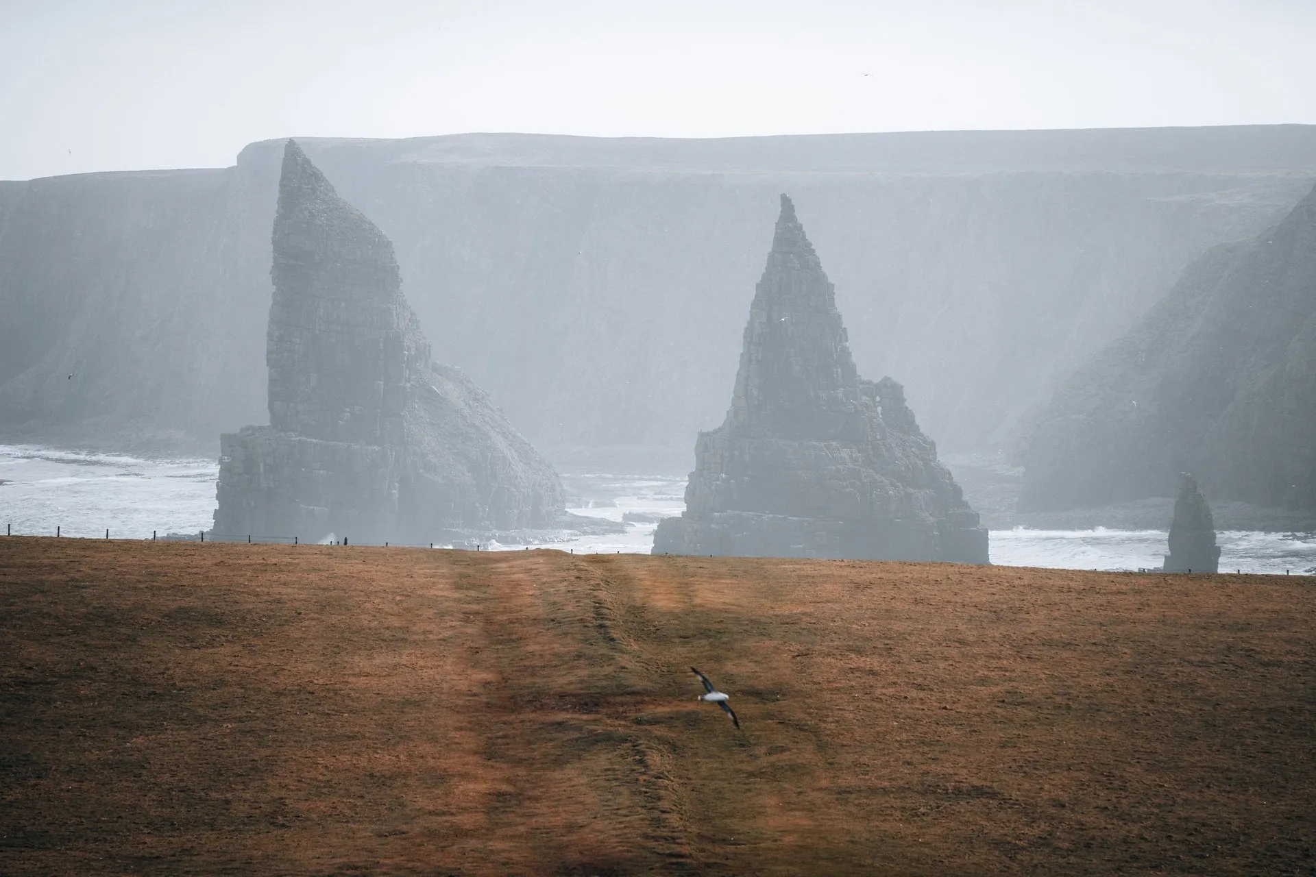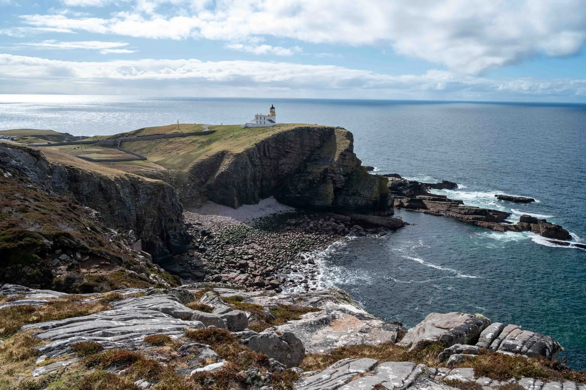
The Whaligoe Steps are a stairway of flagstones that zigzags down an almost vertical cliff near Ulbster on the east coast of Caithness. At the bottom lies Whaligoe Haven, a narrow inlet which Undiscovered Scotland describes as surrounded on three sides by 250 ft cliffs, about 76 m.
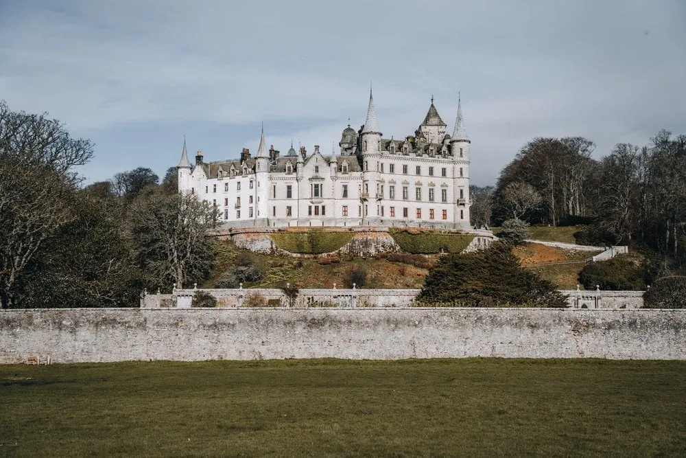
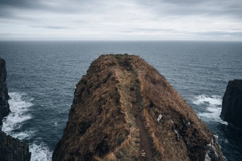
We were there on 5 April 2023. After Dunrobin Castle we head to the Whaligoe Steps, as according to our host there is a chance to see orcas there. Unfortunately we don’t get to see any orcas, but it’s still a great experience to see the cliffs and the sea roaring below us. Our post doesn’t describe the descent, but we went almost all the way down to the sea, to a viewpoint. That is also where the cover photo was taken. Where we parked and how long we were out, we did not record. The map, figures and GPX show the whole stairway from the car park to the Bink at the old harbour and back the same way.
Parking and the way in
Undiscovered Scotland notes that there is no sign for Whaligoe on the A99. You look out for an insignificant crossroads where a sign points inland to the Cairn o’ Get, and take the road opposite. It leads past a row of fishermen’s cottages to a tarmac car park. OpenStreetMap lists parking as free, last checked there in July 2026. The residents’ blog Whaligoe Eye describes it as a car park for the residents with eleven spaces. According to the John O’Groat Journal in 2021, the spaces for the houses are marked, and there is an area for visitors. There are no toilets. In the summer of 2021 the car park was often overfull, and some visitors parked in the residents’ spaces.
To reach the steps, Walkhighlands says, you turn left just before the car park towards a large house with a walled garden. There you turn right alongside the wall and then left past the front of the house, and then you are at the top of the steps. Undiscovered Scotland points out that at one point you are effectively walking through someone’s back garden. According to Whaligoe Eye the steps are on private land, with public access rights.
The steps
Undiscovered Scotland calls the steps well graded and generally well maintained, but advises great care in the wet. On the seaward side there is a low stone wall for most of the way. It disappears for the final flight, and there you get a real sense of exposure. According to OpenStreetMap there is no handrail. Walkhighlands warns of very steep steps with unprotected vertical drops into the sea, and Venture North grades the steps as challenging. ScotWays considers them unsuitable for young children and anyone unsteady on their feet, and does not recommend dogs. At each corner, ScotWays says, a large flat stone sits at waist height. The women could rest their loads on it when they carried barrels of salted herring up on their backs.
The sources disagree on the number of steps. Undiscovered Scotland says local people speak of 365 steps, the Royal Commission RCAHMS of 330. ScotWays counts no more than 337 today. In OpenStreetMap the stairway is mapped in two parts with 25 and 307 steps, 332 in all.
Our track measures 0.23 km from the car park to the Bink, 0.47 km there and back. ScotWays gives 0.3 km from the A99. The car park is the highest point at 72 m. For the long flight of 307 steps the EU-DEM terrain model has no height, it already counts the cliff there as sea. Our track therefore puts the Bink at sea level and spreads the descent evenly over this flight. That is an assumption: More steps lead down from the Bink, so the real descent is probably a little less than the 69 m or so our track counts each way. ScotWays says the steps rise nearly 250 ft from the sea, about 76 m. We found no walking time for the steps alone. Walkhighlands allows 1 to 1.5 hours for 3 km to the Cairn of Get chambered cairn and down the steps.
Down at the Bink
At the foot of the steps lies the Bink, which Undiscovered Scotland describes as an artificial grassy area about the size of a narrow tennis court. At one end stands the ruin of a store for the salt used to cure the fish. At the other end more steps lead down to a rocky shelf, the Neist. On the Bink you can still see the barking kettle and the fireplace where tar was heated for nets and floats, and the rusting remains of a winch for hauling up the boats.
Walkhighlands explains the name: Whale Geo, the inlet of the whale. ScotWays records use of the inlet from 1640 and a first mention of the steps in 1769. According to Wikipedia Thomas Telford visited in 1786 and called the place a “terrible spot”. In 1814 there were nevertheless 14 herring boats here. The women gutted the catch and carried herring, cod, haddock and ling up the steps in baskets and on to Wick on foot to sell it. In 1920, Undiscovered Scotland says, five boats still fished from Whaligoe, for salmon, in 1946 two, and the last one stopped in the 1960s.
According to Wikipedia volunteers have kept the steps in repair since 1998. The way back is up the same steps, in the words of Undiscovered Scotland a hard slog.