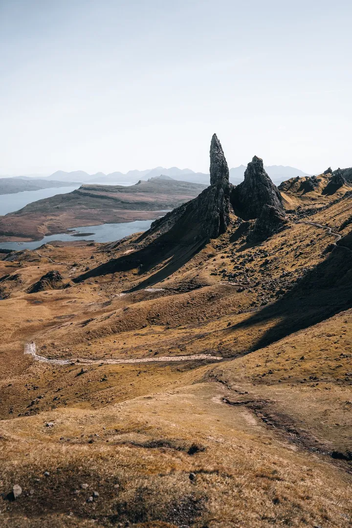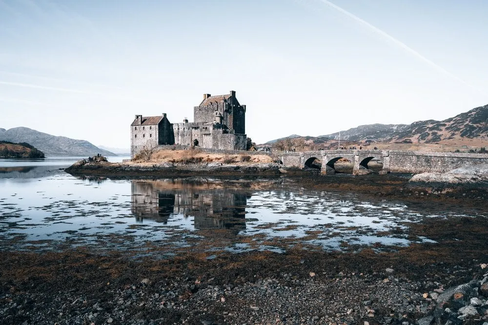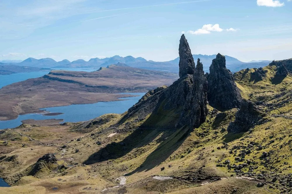
The Old Man of Storr is a rock pinnacle below the cliffs of the Storr in the north of the Isle of Skye. According to Walkhighlands it is about 50 metres high. We hiked up on 7 April 2023, on our road trip through Scotland. In the morning we visit Eilean Donan Castle, and on the way there an overtaking car clips our wing mirror. Afterwards we drive on to the Isle of Skye and to the Old Man of Storr.
It is an impressive experience to see the landscape and the striking rock formation. But it is very windy, which makes the hike somewhat strenuous. We did not record a walking time. Our photos show the Old Man backlit by the afternoon sun and from above, so we climbed up beyond the pinnacles. Afterwards we drive to a small town to refuel and do some shopping, and then on to our bed and breakfast.
According to Wikipedia the Storr is 719 metres high and part of the Trotternish Landslip, the longest landslide in Great Britain. The pinnacles are remnants of old landslides. The official website thestorr.com tells two legends. In one the Old Man is the thumb of a buried giant, in the other the face of an old man in the rock. In Gaelic it is called Bodach an Stòir. According to Walkhighlands it was first climbed in 1955 by Don Whillans, and the rock is considered very loose.
From the car park to the Old Man
According to Walkhighlands the walk starts at the Storr car park on the A855, the road from Portree to Staffin. According to thestorr.com it is 7 miles or 15 minutes by car from Portree. Without a car, bus 57A runs there from Somerled Square in Portree in about 15 minutes, not on Sundays. The way back is with the 57C.
According to thestorr.com the car park has 140 spaces and charges all motor vehicles £6 for up to 6 hours and £8 for up to 12 hours. In February 2026 the Highland Council proposed raising both rates by £1 from 1 April 2026, before that they were £5 and £7. You pay by card or cash at the machine or with the Ringo app, and you cannot book. If the car park is full, the website asks you to come back later rather than park on the peat verges. Motorhomes do not fit in because of a height barrier and stay on the road. The toilets are free, and in summer there is a kiosk.
According to Walkhighlands the path starts at a gate at the back of the car park and winds broadly up through a felled area. On the way you look out to Raasay, Applecross and the Cuillin. Two gates follow, and you leave a turn-off between them on your left. Then the path crosses open moorland below the cliffs of the Storr. Higher up a clear path branches off to the left, on which according to Walkhighlands most of the crowd is left behind. It first traverses the slope and then climbs up to the left of the Old Man. At the fork you keep left to get behind the Old Man.
Behind the pinnacles to the col
According to Walkhighlands the next section is prone to rockfall and should be avoided after heavy rain. You descend into the hollow behind the Old Man and cross a short stretch of rockfall boulders. This area is called the Sanctuary. Beyond it stands the Needle Rock, also called the Cathedral, with a window near its top. Behind the Cathedral you head north below the cliffs to a small col. From there, according to Walkhighlands, you have the classic view of the Old Man. To the right of the col is a small hillock from which you look back over the Old Man once more. Our track ends at the col.
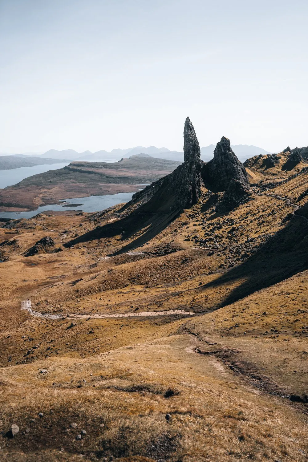
In OpenStreetMap the path behind the Old Man and the Needle Rock, which our track also follows, carries a note advising not to use it. To the east several old paths have been removed, and the Storr Habitat Restoration area of the Skye Iconic Sites Project is closed off so that the eroded ground can grow back. We do not know whether the section behind the Old Man and the Cathedral is open today. In 2023 we were above the pinnacles, and that is where our photos looking down on the Old Man come from. On site, follow the signs.
According to Walkhighlands you return on the same path behind the Cathedral. The direct line below the Cathedral is badly eroded and being repaired, so you should not take it. Lower down you can take an equally well built path on the right past the small lochan.
On our track it is 2.35 kilometres and 321 metres of ascent to the col, 4.7 kilometres there and back. Walkhighlands gives 5 kilometres, 340 metres of ascent and 1.5 to 2 hours for the round with the hillock and the lochan. According to thestorr.com you should allow at least 2 hours. Walkhighlands grades the walk 2 out of 5, with clear hill paths that become steep and rocky higher up, and with eroded ground. thestorr.com calls the path steep and exposed and recommends sturdy shoes, rain gear and water, because the weather changes quickly.