57.5066° N 6.1735° W
Old Man of Storr, Isle of Skye
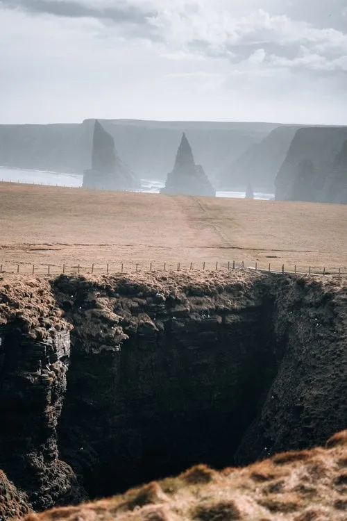
Skye's iconic rock pinnacle above the east coast. After roughly 45 minutes of climbing, the view opens over pinnacles, lochs and the sea.
- Best time
- Sunrise · all year
- Country
- Scotland
- Latitude
- 57.5066° N
- Longitude
- 6.1735° W
On site
The Old Man of Storr is a rock pinnacle below the cliffs of the Storr in the north of the Isle of Skye, about 50 metres high according to Walkhighlands. According to Wikipedia the Storr is part of the Trotternish Landslip, the longest landslide in Great Britain, and the pinnacles are remnants of old landslides. In Gaelic the Old Man is called Bodach an Stòir.
On 7 April 2023, after Eilean Donan Castle, we drive on to the Isle of Skye and hike to the Old Man of Storr. It is very windy, which makes the hike somewhat strenuous. We climb up beyond the pinnacles. From there we look down on the Old Man and across the plateau to the sea, and that is the view in our photo. Afterwards we drive to a small town to refuel and do some shopping.
According to Walkhighlands the path starts at the Storr car park on the A855 between Portree and Staffin. According to thestorr.com the car park has 140 spaces, charges a fee and cannot be booked. Walkhighlands gives 5 kilometres, 340 metres of ascent and 1.5 to 2 hours for the round and describes the path higher up as steep and rocky, while thestorr.com advises allowing at least 2 hours. In OpenStreetMap the path behind the Old Man carries a note advising not to use it, and an area next to it is closed off so that the eroded ground can grow back. We do not know whether the path there is open today. On site, follow the signs.
This sends your IP address to the OpenStreetMap Foundation. You can change it any time in the .
Old Man of Storr, Isle of Skye 57.5066° N 6.1735° W