58.2400° N 5.4026° W
Stoer Lighthouse
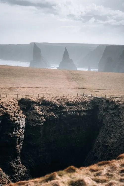
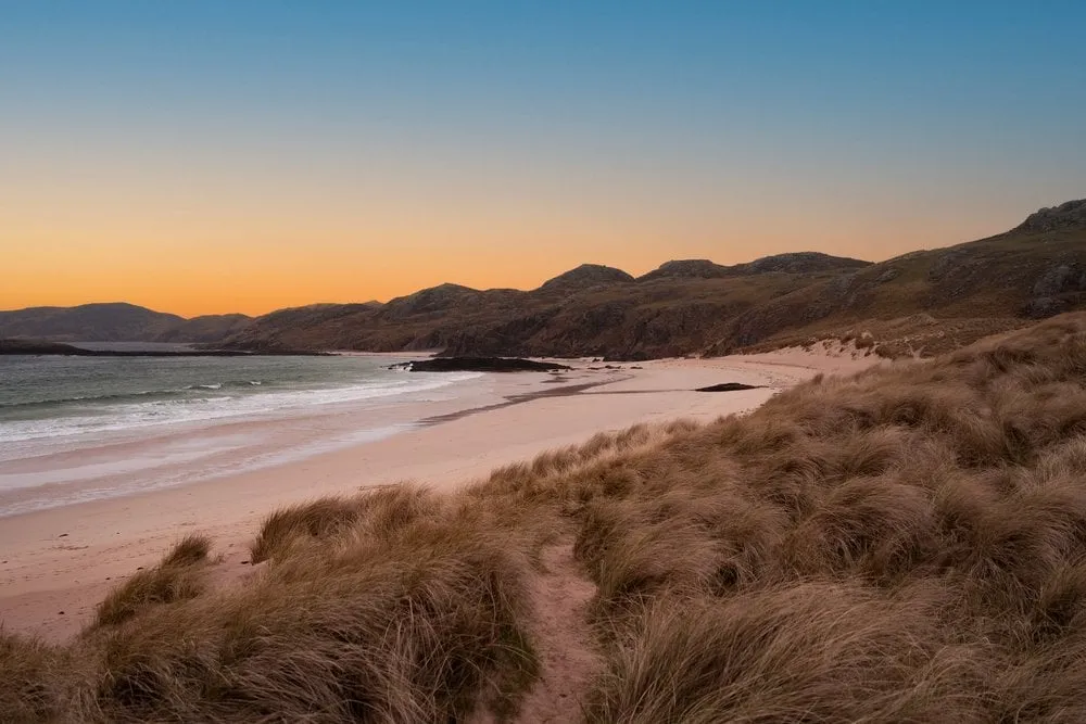
A lighthouse at the end of a narrow, winding road. The path to the Old Man of Stoer is often muddy, but the view is worth it anyway.
- Best time
- Sunset
- Country
- Scotland
- Latitude
- 58.2400° N
- Longitude
- 5.4026° W
On site
Stoer Head Lighthouse stands on a high cliff on the Stoer peninsula in Assynt. According to Wikipedia David and Thomas Stevenson built it in 1870. The tower is only 14 metres high, but from its cliff it can be seen 39 kilometres out at sea. It has been automated since 1978.
According to Wikipedia the road to the lighthouse branches off the B869 between Lochinver and Unapool and is 5 kilometres long. It is very narrow and winding. When we drive out on 6 April 2023, at one point, reversing, we have a lorry in front of us and a sheep behind us. According to Masarnen Ramblers there is a free car park just below the lighthouse with room for about 16 cars. We did not note where we parked.
From the car park a path leads north over the cliffs to the Old Man of Stoer, a sea stack. We do not make it that far because the path is too muddy, but we have a fine view back to the lighthouse. That view is in our photo. Judging by the angle, it was taken on the cliffs north of the lighthouse. Then we drive on towards Ullapool.
This sends your IP address to the OpenStreetMap Foundation. You can change it any time in the .
Stoer Lighthouse 58.2400° N 5.4026° W