56.9459° N 2.1972° W
Dunnottar Castle
A castle ruin on a headland above the North Sea, with sheer cliffs almost all the way round. Best seen from the meadow to the south.
- Best time
- Golden hour · drone
- Country
- Scotland
- Latitude
- 56.9459° N
- Longitude
- 2.1972° W
On site
On 3 April 2023 we spend the night in Johnshaven, a village right by the sea. We pick up the key for our first Airbnb of the trip from John in his pub. The next morning we leave straight after breakfast for the nearby castle. All around lie high cliffs, green hills and the clear blue sea. We enjoy the countryside around the castle and take plenty of photos and drone videos.
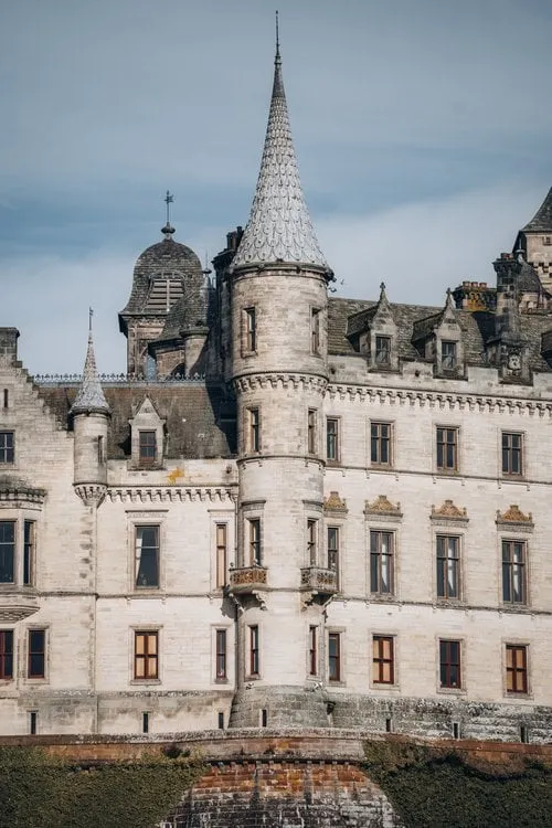
The post shows the castle from the cliff path, the ruin backlit above the sea and the bay below with its turquoise water. In our drone shot the castle stands on its headland above the roaring sea. Afterwards our route takes us through the national park on to Loch Ness. On the way we see some Highland cattle, and finally we drive to our next Airbnb in Golspie.
This sends your IP address to the OpenStreetMap Foundation. You can change it any time in the .
Dunnottar Castle 56.9459° N 2.1972° W