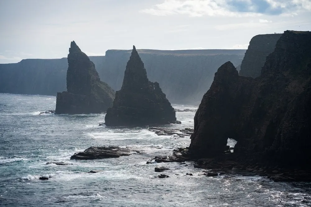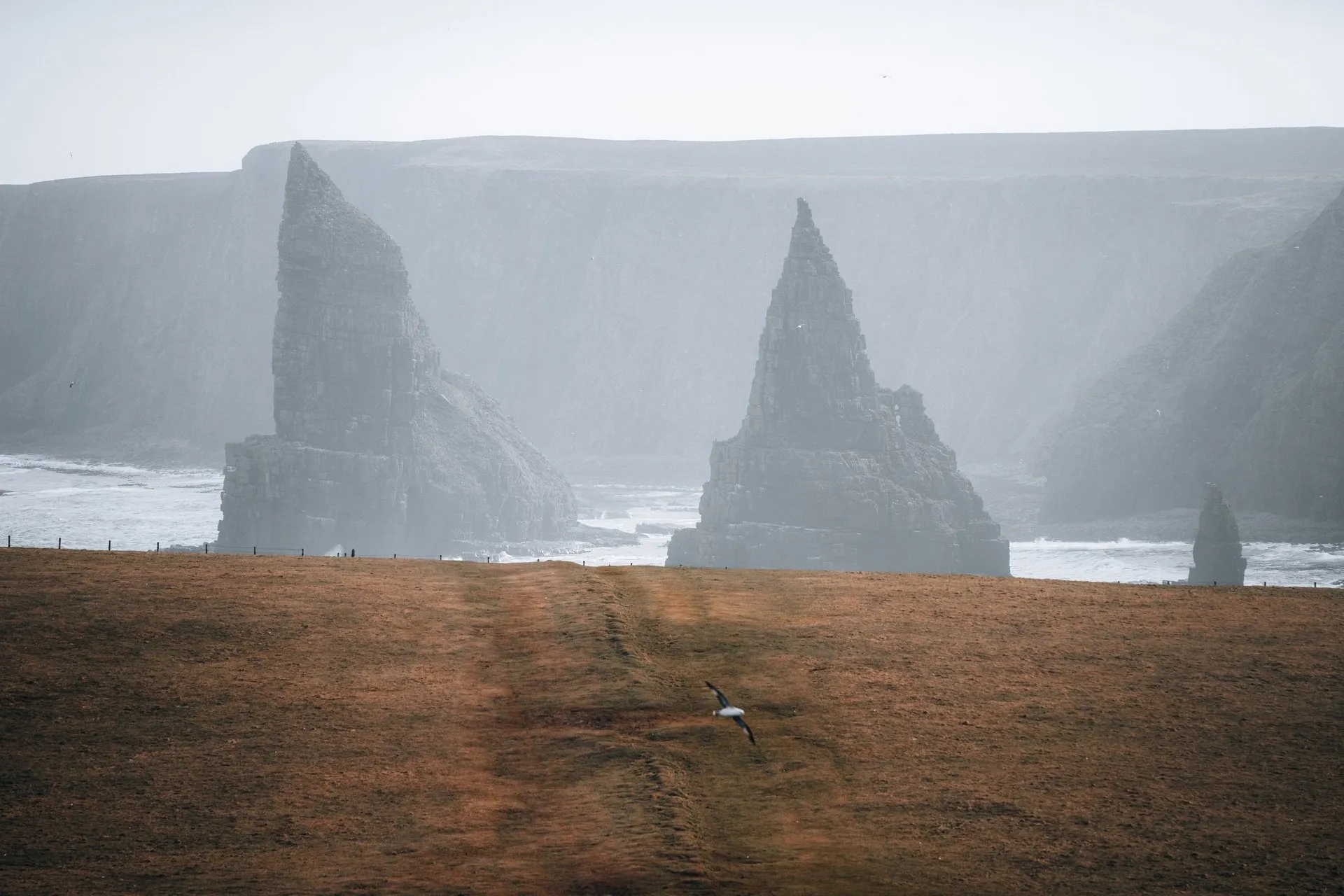
According to Wikipedia, Duncansby Head is the most north-easterly point of the British mainland, slightly north-east of John o’ Groats in Caithness. A lighthouse stands on the headland, and just south of it the Stacks of Duncansby rise from the sea, pointed pinnacles of sandstone. From the car park by the lighthouse a path along the clifftop leads to them.
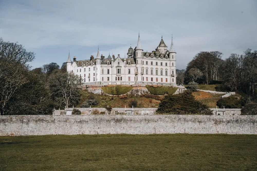
We were there on 5 April 2023, on our trip through Scotland. First we look at Dunrobin Castle from the outside, then the Whaligoe Steps, and after that we continue via Wick to John o’ Groats. From there we drive to Duncansby, where there should be puffins to see. Unfortunately we can’t spot any. Normally the «Puffin Season» starts at the end of April, but we had hoped to see some at the beginning of April already. Nevertheless, it is an incredibly beautiful place with breathtaking rocks and views.
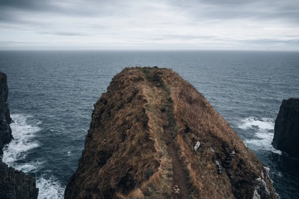
Our photos show that we walked the clifftop path. The post itself says nothing about it. We did not record where we parked, how far we went or how long we were out. Map, numbers and GPX show the path that Walkhighlands describes, from the car park by the lighthouse to the cliff opposite the Great Stack. The way back follows the same path.
From the lighthouse to the viewpoint
The car park lies at the end of a single-track road which, according to LiveBreatheScotland, leaves the A99 opposite the post office in John o’ Groats and ends at the lighthouse after about two miles. According to Wikipedia it is open all year. Parking is free, but not allowed overnight between 10 pm and 8 am. Toilets and a café are only found in John o’ Groats. Walkhighlands also describes a round from John o’ Groats, 8.5 km long, with 2.5 to 3 hours and 110 m of ascent. Buses run to John o’ Groats.
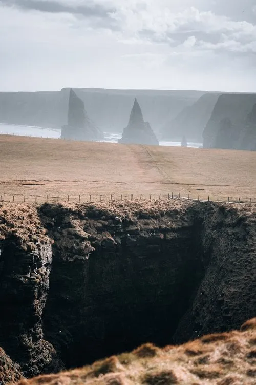
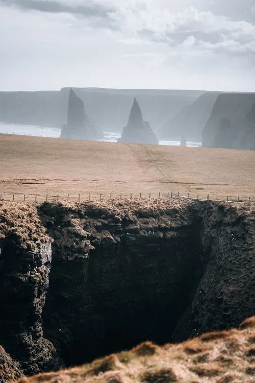
Just before the lighthouse, according to Walkhighlands, a signpost points right onto the path to the stacks. According to LiveBreatheScotland it runs over grass along the cliff edge, in many places behind a wire fence, and gets muddy after rain. Walkhighlands mentions a few boggy patches. First the path crosses the top of Duncansby Head, 63 m high according to OpenStreetMap. According to Walkhighlands the stacks soon come into view in the distance, and the path runs round the back of the Geo of Sclaites, a deep cleft in the cliff. After 630 m our track reaches the viewpoint that OpenStreetMap calls «Stacks of Duncansby».
On the top of the headland our track only reaches 56 m. Its heights come from the EU-DEM terrain model, which is inaccurate on these cliffs. At the lighthouse it gives about 13 m, although according to Wikipedia the light there stands 67 m above the sea on an 11 m tower. The elevation profile and the ascent are therefore only a rough guide.
Down to the burn and up above the stacks
After that, according to Walkhighlands, the path goes down to the lowest section of the coast before it climbs to the stacks. On the way down you see the two big stacks and the arch of Thirle Door. According to LiveBreatheScotland it stands in front of the stacks, an arch still attached to the mainland that will one day collapse into another stack. At the bottom, according to OpenStreetMap, the path crosses a burn on a bridge, then it climbs again.
According to Walkhighlands it is well worth following the coast uphill past the stacks and beyond, where you get the best views of the large seabird colonies. Our track ends after 1.9 km on the cliff opposite the Great Stack, which according to OpenStreetMap is the southern of the two big stacks. There and back it is 3.9 km. LiveBreatheScotland reckons on just over a kilometre and 15 to 20 minutes each way to the main viewpoint over the stacks. So that viewpoint lies a little further on than the one in OpenStreetMap. If you continue along the coast, LiveBreatheScotland suggests allowing 60 to 90 minutes there and back. Venture North gives about 20 minutes each way and calls the path mostly level. Our photos also show a stack in a bay, with turquoise water below the grassy edge.
The stacks and the headland
According to LiveBreatheScotland the stacks are made of Old Red Sandstone, a sandstone from the Devonian, about 400 million years old. LiveBreatheScotland counts four stacks. The Great Stack is over 60 m tall and higher than the cliffs beside it, and then there are the Witch’s Hat, The Knee and The Little Knee. According to Wikipedia the coast from Duncansby Head to Skirza Head, 6.5 km to the south, is designated a Site of Special Scientific Interest. In spring and summer, according to Wikipedia, thousands of puffins, guillemots, razorbills and kittiwakes nest there. Venture North and LiveBreatheScotland recommend the months of May to July for the seabirds.
According to Wikipedia the lighthouse was built by David Alan Stevenson in 1924. Its light flashes every 12 seconds, and according to LiveBreatheScotland it has been automatic since 1997.
Walkhighlands grades the round from John o’ Groats 2 out of 5, and its bog factor 3 out of 5. LiveBreatheScotland calls the path fairly gentle and without steep climbs. It is not suitable for wheelchairs, and children should be closely supervised near the edge. The path is part of the John o’ Groats Trail, which runs along the coast from Inverness to John o’ Groats. For the stage from Keiss to John o’ Groats the trail warns of the risk of falling from the cliffs and of ticks in long vegetation.