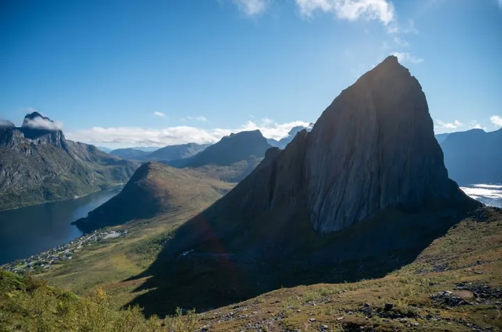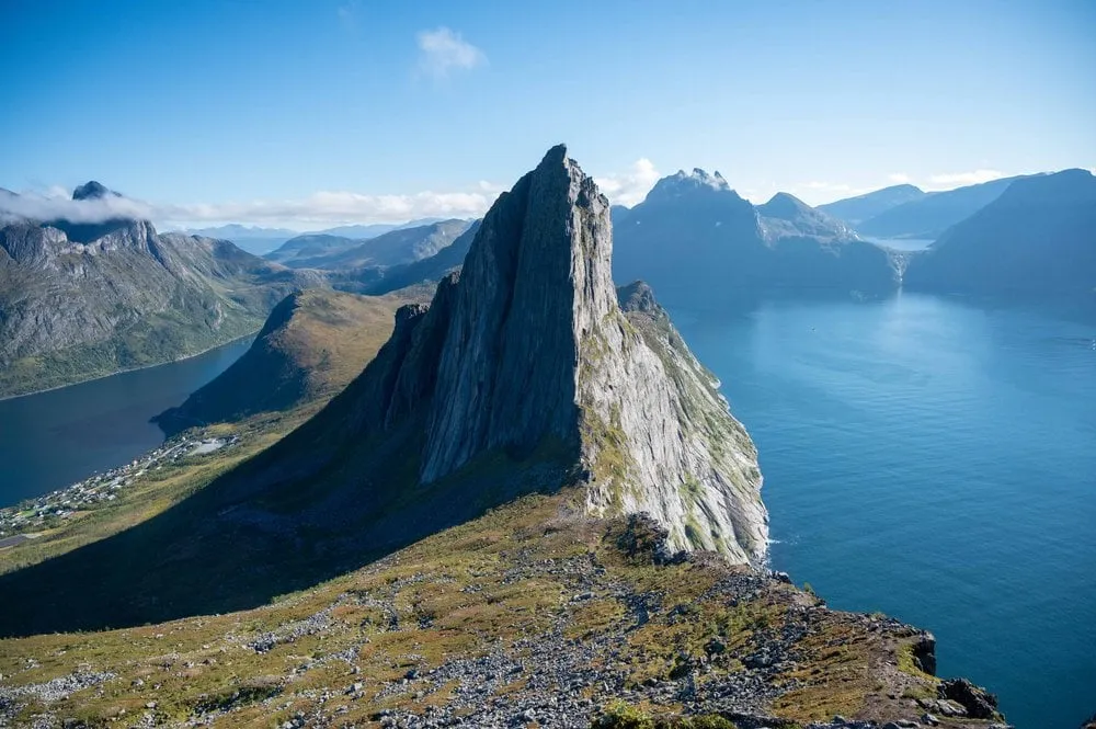
Hesten (“the horse” in Norwegian) is a 556 metre summit above the small, remote village of Fjordgård on Senja. We hiked it in September 2022 on our last day on Senja, and we chose it for the view of Segla. From the summit you see this mountain drop steeply to the sea, and the view is one of the best known on Senja. The path is short, but it gets more and more demanding towards the top and ends with a scramble up a steep rock face.
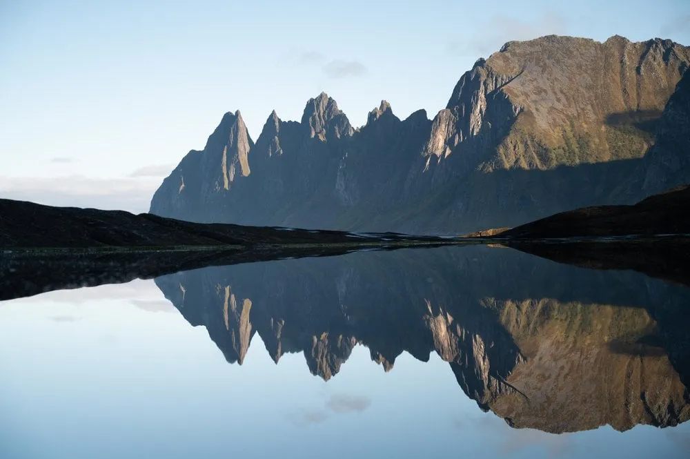
The drive from our accommodation to Fjordgård took us two hours, even though the places are actually close to each other. The direct road was closed because of avalanche protection works, and we had to take a long detour. On the way we stopped once more at the Tungeneset viewpoint. We did not note where exactly we parked in Fjordgård. According to Outdooractive the path starts at the foot of the ski slope next to a wooden shelter. There is little space there, and a car park above the school is about ten minutes away on foot. OpenStreetMap also shows a car park with a fee in Fjordgård. We have not checked whether that fee still applies.
According to ut.no you first walk up the road called Segla from the village and then on up the ski slope. The path is marked and crosses a couple of streams, further up it gets steeper and stonier. According to Outdooractive, boardwalks lead over the wet ground on the ski slope. On a saddle between Hesten and Stavelitippen the path to Stavelitippen turns off. On our track this turn-off comes after a little over 1.5 km at about 440 metres. From there it is about 400 metres of path and a little over 110 metres of ascent to the summit.
For us the climb started easily, with ever better views of the fjord and the mountains. The higher we climbed, the more of Segla came into view.
After that the hike became more and more demanding. On the last 50 metres below the summit we had to climb up a rather steep rock face. We were about to turn back when we met other hikers. They told us that it was not much further and that the view from the top was really worth it. So we summoned our courage and kept climbing up the rock face to the top.
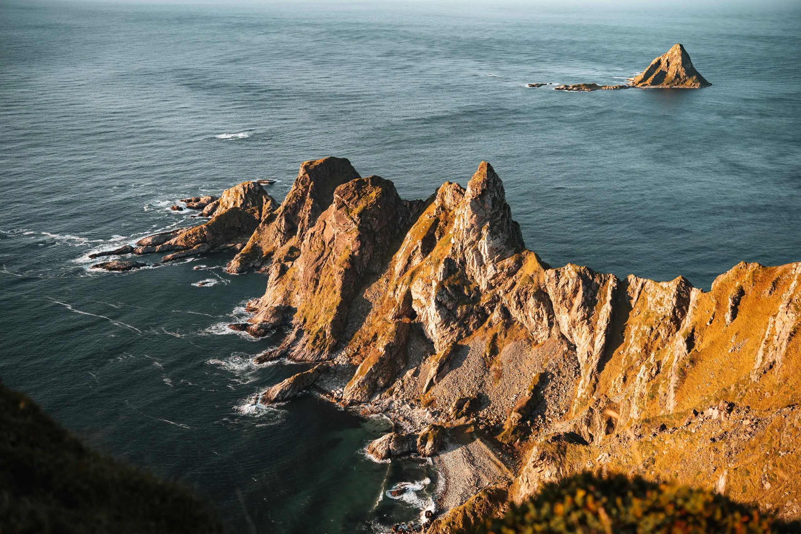
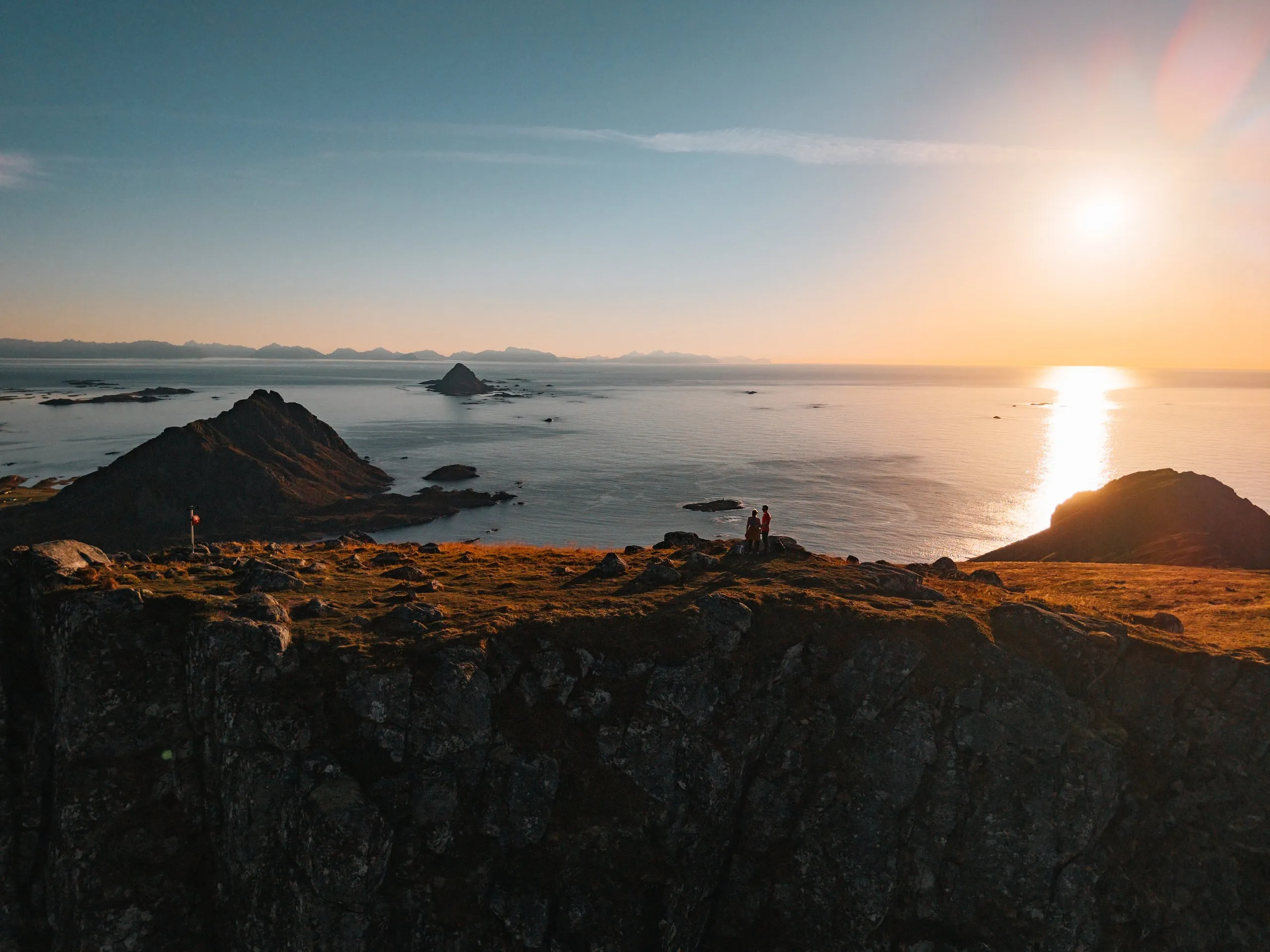
At the top we stood 556 metres above the sea with a wide view in every direction. The most impressive part is the view of Segla, which plunges straight from its ridge into the water. On the other side you look across the pinnacles of Hesten out to the open sea, and a small lake lies in a hollow. We signed the summit register and took photos. We did not stay long, because we still had a long drive ahead and were a little worried about getting back down in one piece.
The way down follows the same path. It all went well, but some passages took some nerve, because a few stones are loose and the ground drops away steeply. A little further down, on safer ground, we had a picnic. After a little over four hours we were back at the car park, including the summit stop and the picnic.
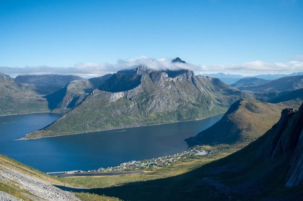
Outdooractive and ut.no give the season as all year, but in winter Outdooractive advises against the summit because of ice. According to Arctic Norway the snow on Senja has melted in most places by around mid-June, and in September there can already be snow on the summits again. We were up there in early September, in fine weather, and the vegetation on the ridge of Segla had already turned autumn red. After the hike we still had a three and a half hour drive to Narvik ahead of us.