69.5145° N 17.5851° E
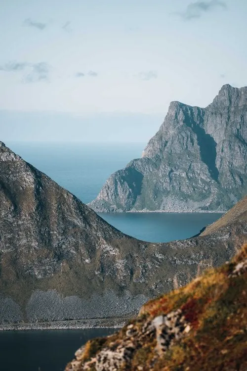
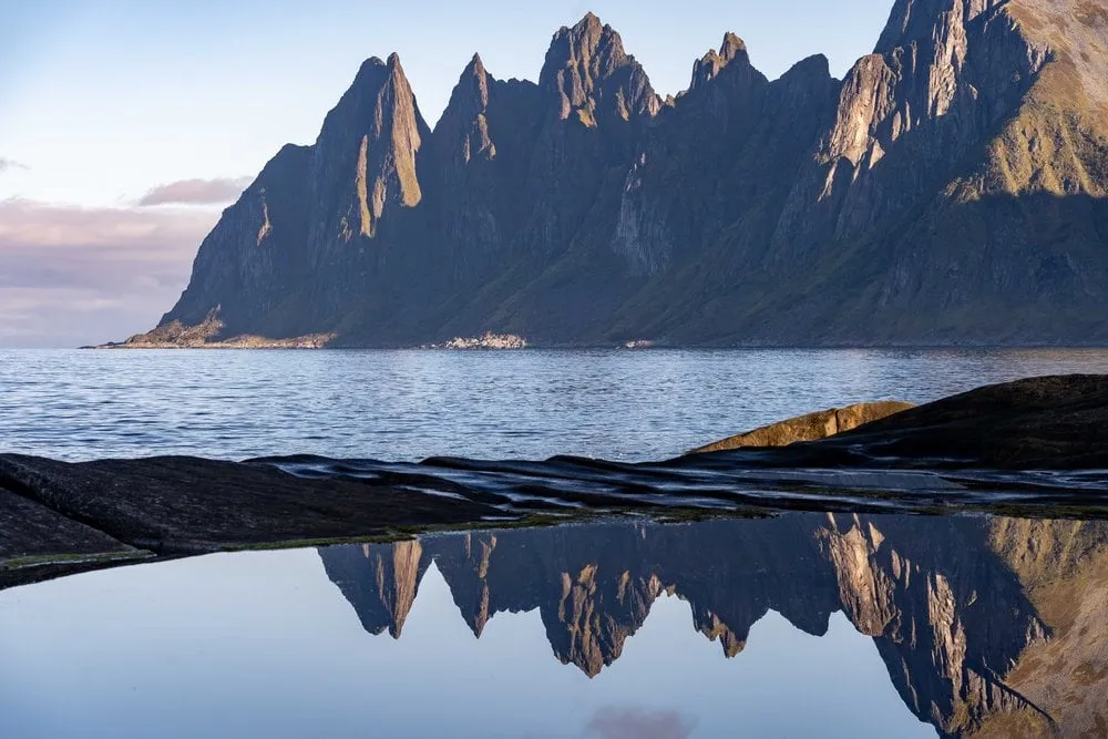
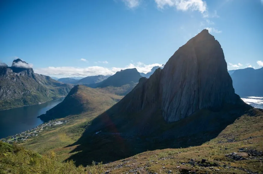
Segla from Hesten, Senja
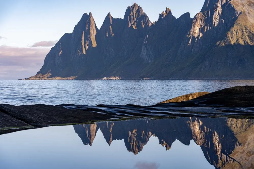
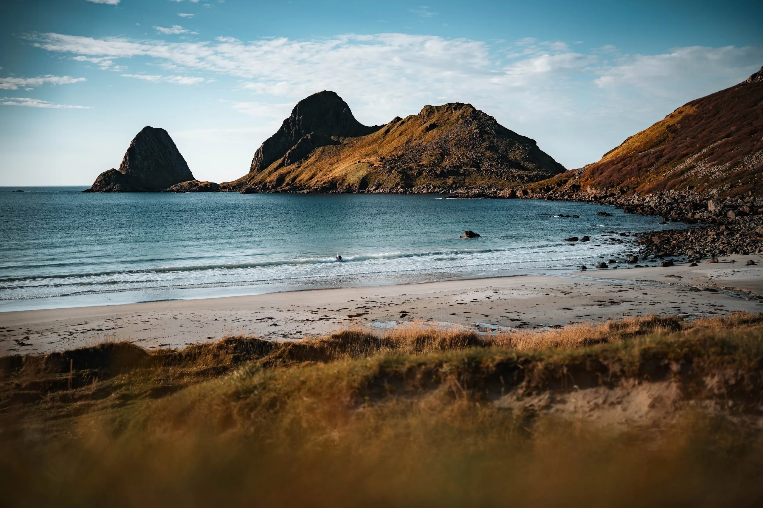
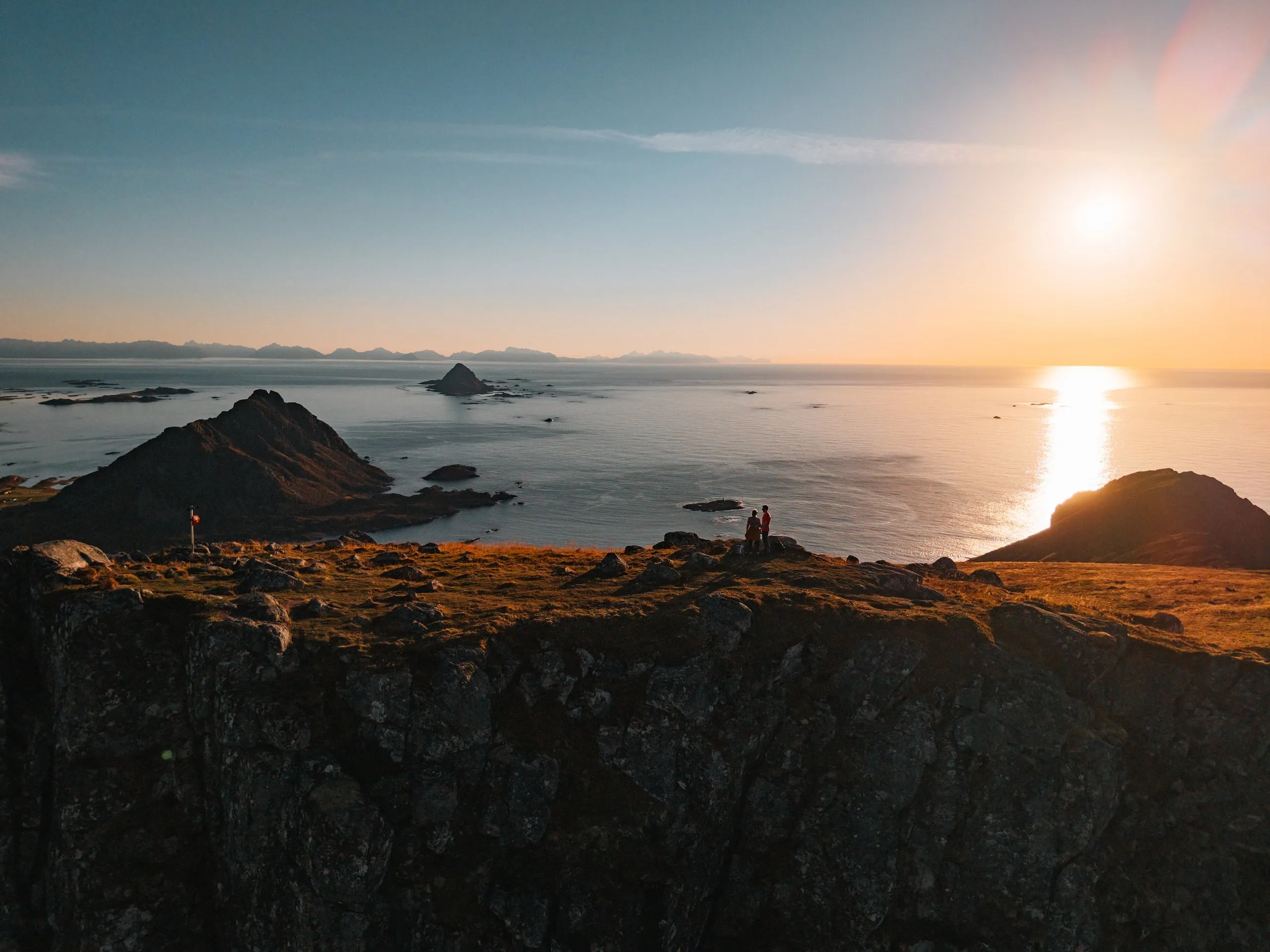
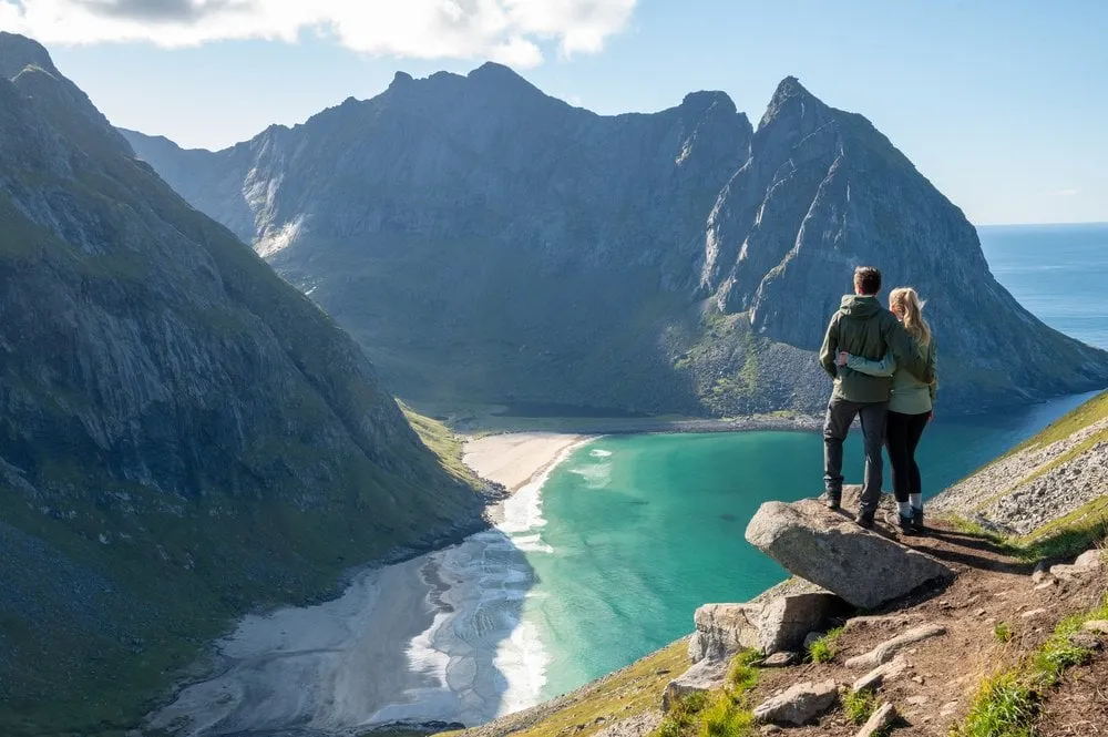
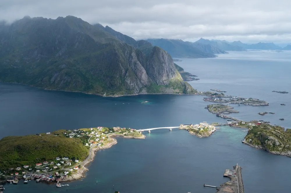
The view from Hesten across to Segla's sheer face is THE shot on Senja, about a 1.5-hour climb from Fjordgård.
- Best time
- Evening sun · June to September
- Country
- Norway
- Latitude
- 69.5145° N
- Longitude
- 17.5851° E
On site
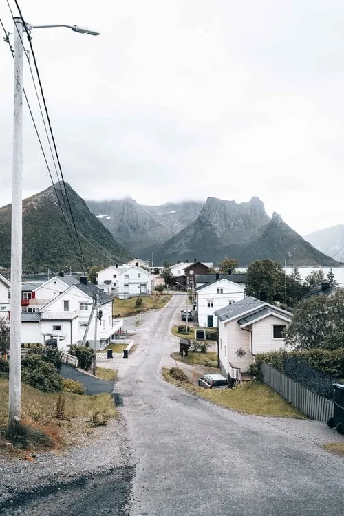
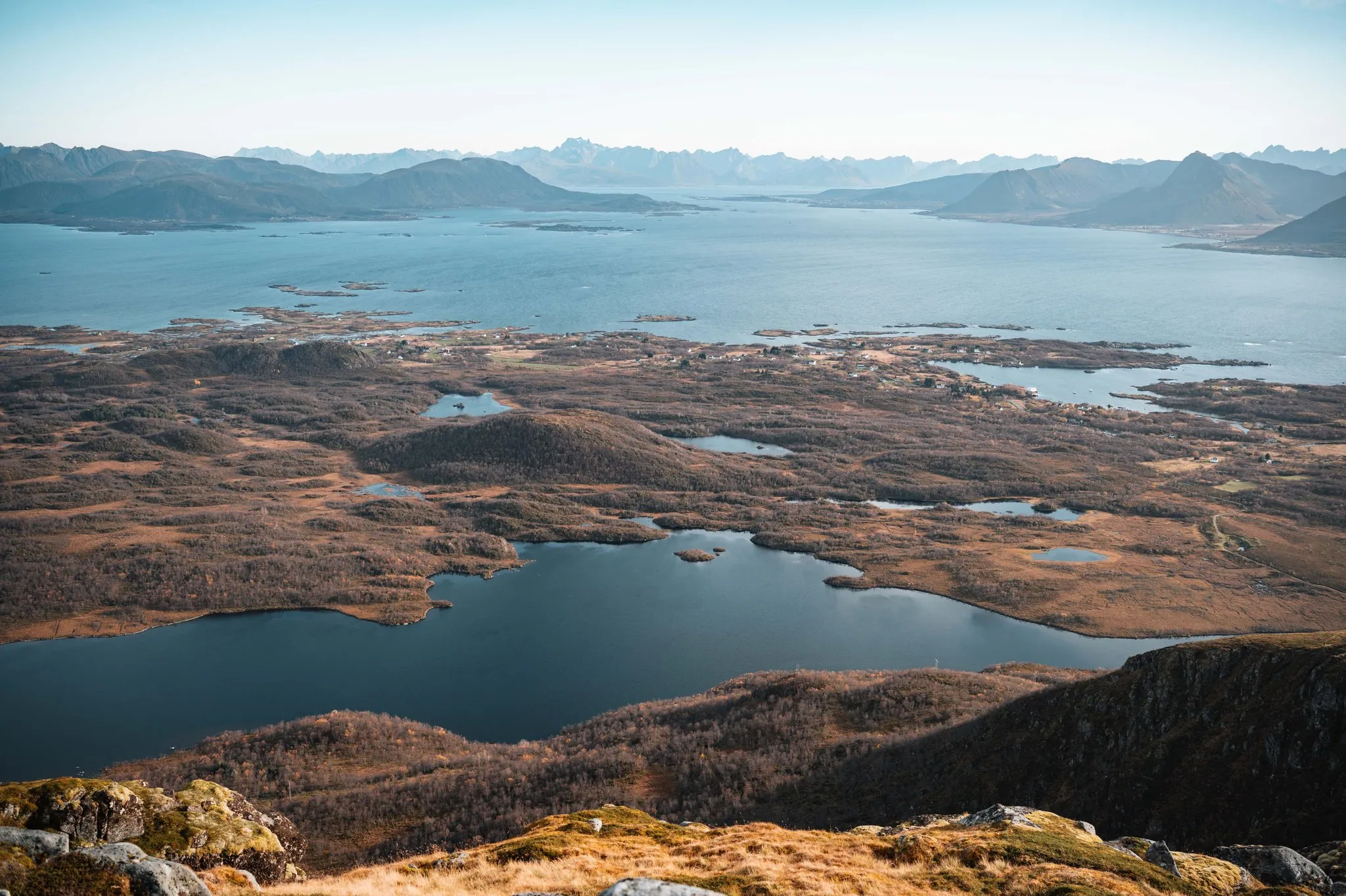
From the summit of Hesten, 556 metres above the sea, you look across to Segla, which drops sheer from its ridge into the water. The path starts in Fjordgård, a small, remote village on Senja, at the foot of the ski slope. We did not note exactly where we parked. According to Outdooractive there is little space at the trailhead, and a car park above the school is about ten minutes' walk away.
In early September 2022, on our last day on Senja, we climb Hesten in fine weather. Because the direct road is closed for avalanche protection works, we drive two hours from our accommodation to Fjordgård. The climb starts harmlessly, and the higher we get, the more of Segla comes into view. On the last 50 metres below the summit we have to climb a fairly steep rock face. We are on the point of turning back when other hikers tell us it is not much further. So we pluck up our courage and keep climbing.
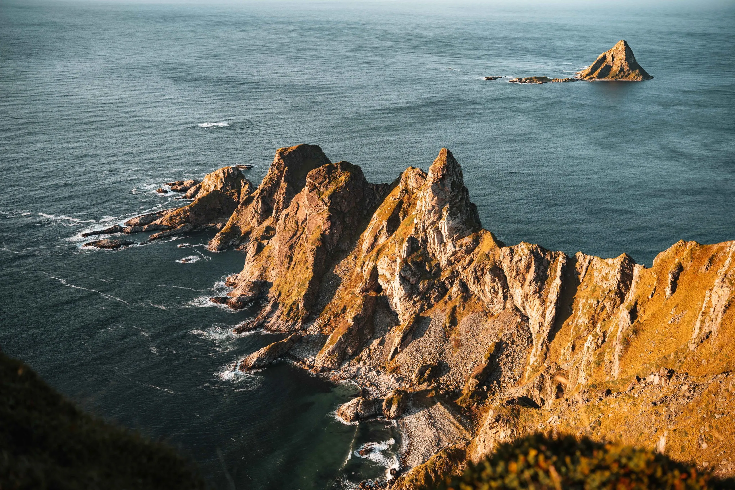
At the top we sign the summit book. Segla stands against the light, the vegetation on its ridge has already turned autumn red, and far below us the fjord glitters in the afternoon sun. On the other side you look across the jagged peaks of Hesten to the open sea. On the way down, loose stones and the steeply falling ground take some nerve. After a little over four hours we are back at the car park, including the summit break and a picnic.
This sends your IP address to the OpenStreetMap Foundation. You can change it any time in the .
Segla from Hesten, Senja 69.5145° N 17.5851° E