68.1611° N 13.5018° E
Offersøykammen, Lofoten
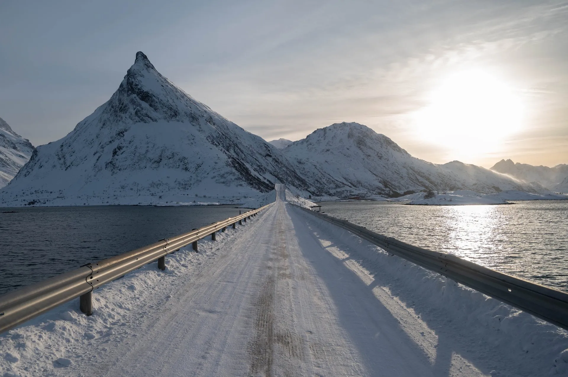
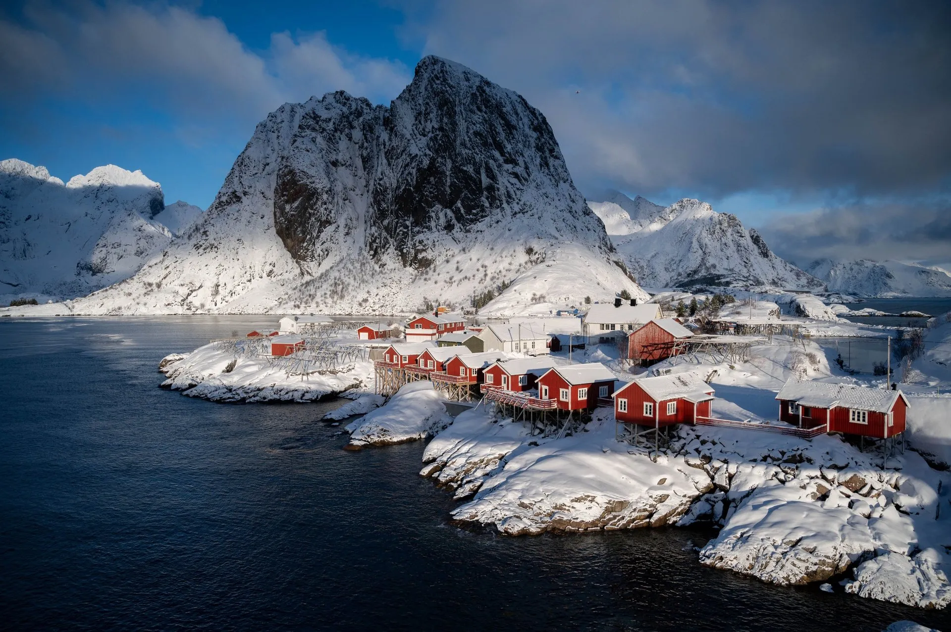
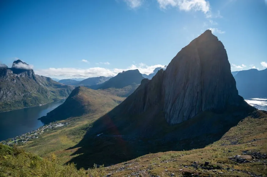
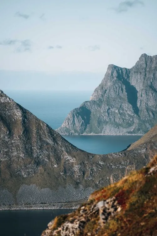
A short, punchy climb with a big payoff. From the ridge, peaks, fjords and the Nappstraumen strait layer all the way to the horizon.
- Best time
- Late afternoon · May to September
- Country
- Norway
- Latitude
- 68.1611° N
- Longitude
- 13.5018° E
On site
Offersøykammen stands on Vestvågøya right above the Nappstraumen. It is less known than Reinebringen, and locals walk it more often than tourists. We have been up three times, each time in September, and since 2022 it has been our favourite hike in the Lofoten.
We park for free at the Skreda rest area on the E10. The path starts 700 metres further north along the road, from where it heads straight up the slope. Technically it is fairly easy, but steep all the way. In 2022 we stand on the summit after an hour and a half, in 2026 after about an hour.
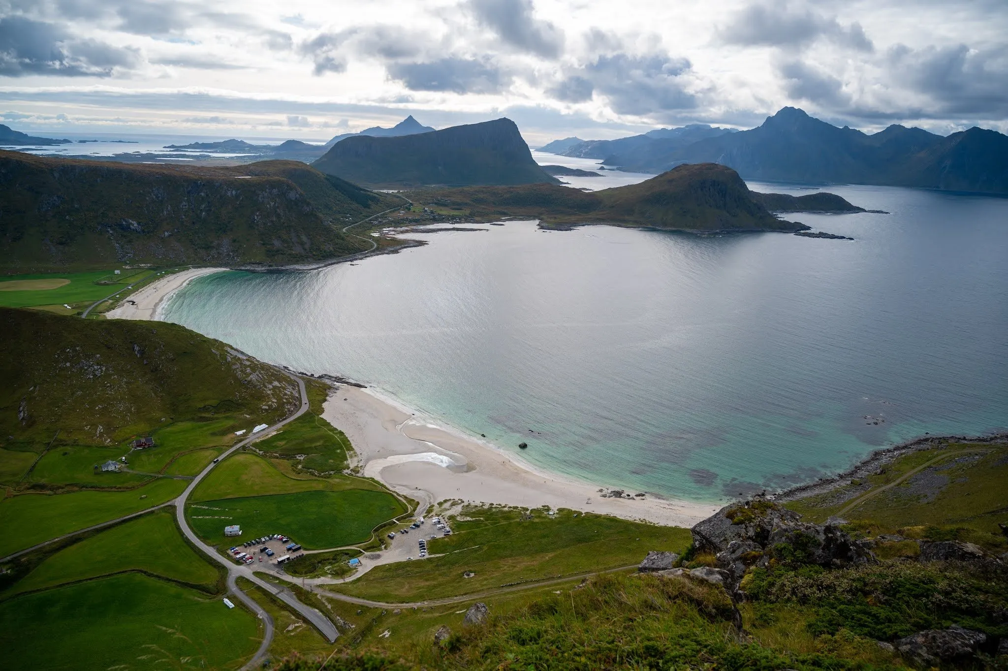
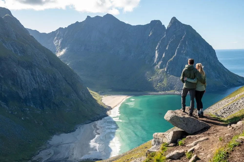
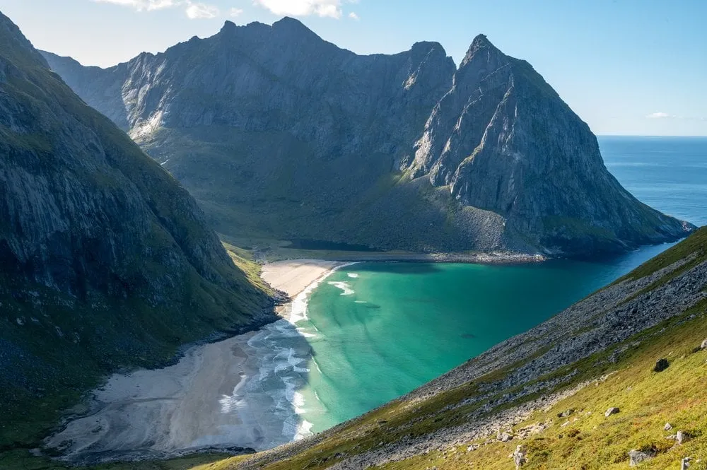
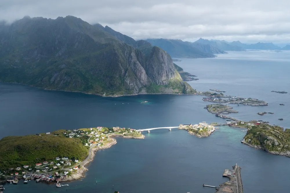
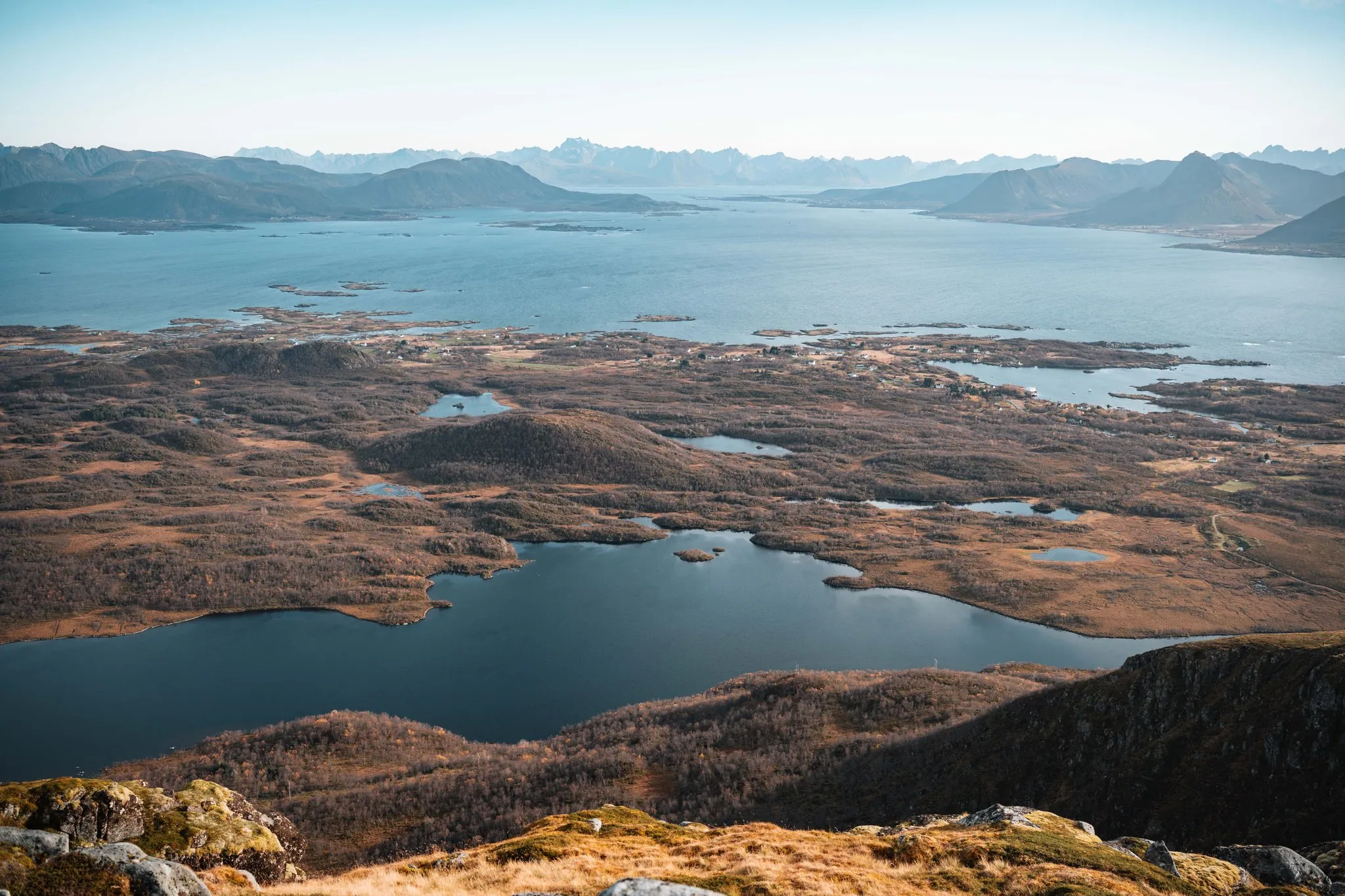
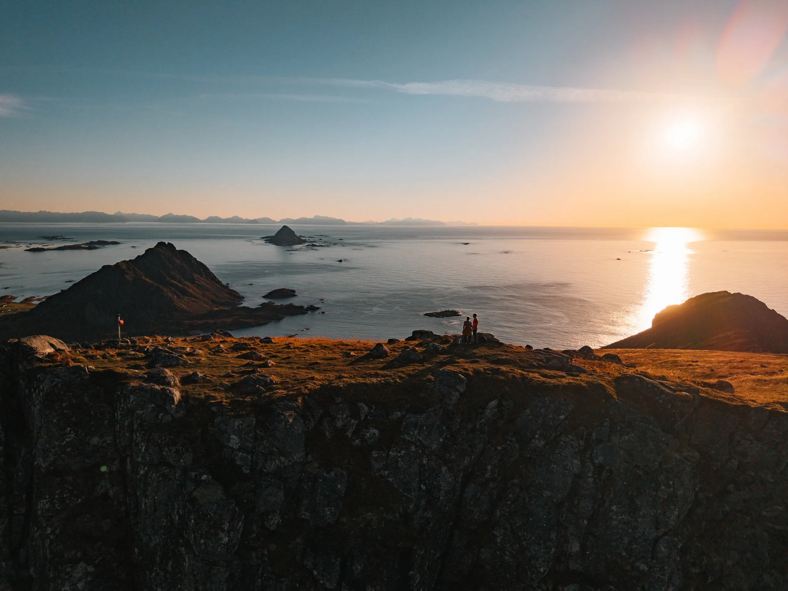
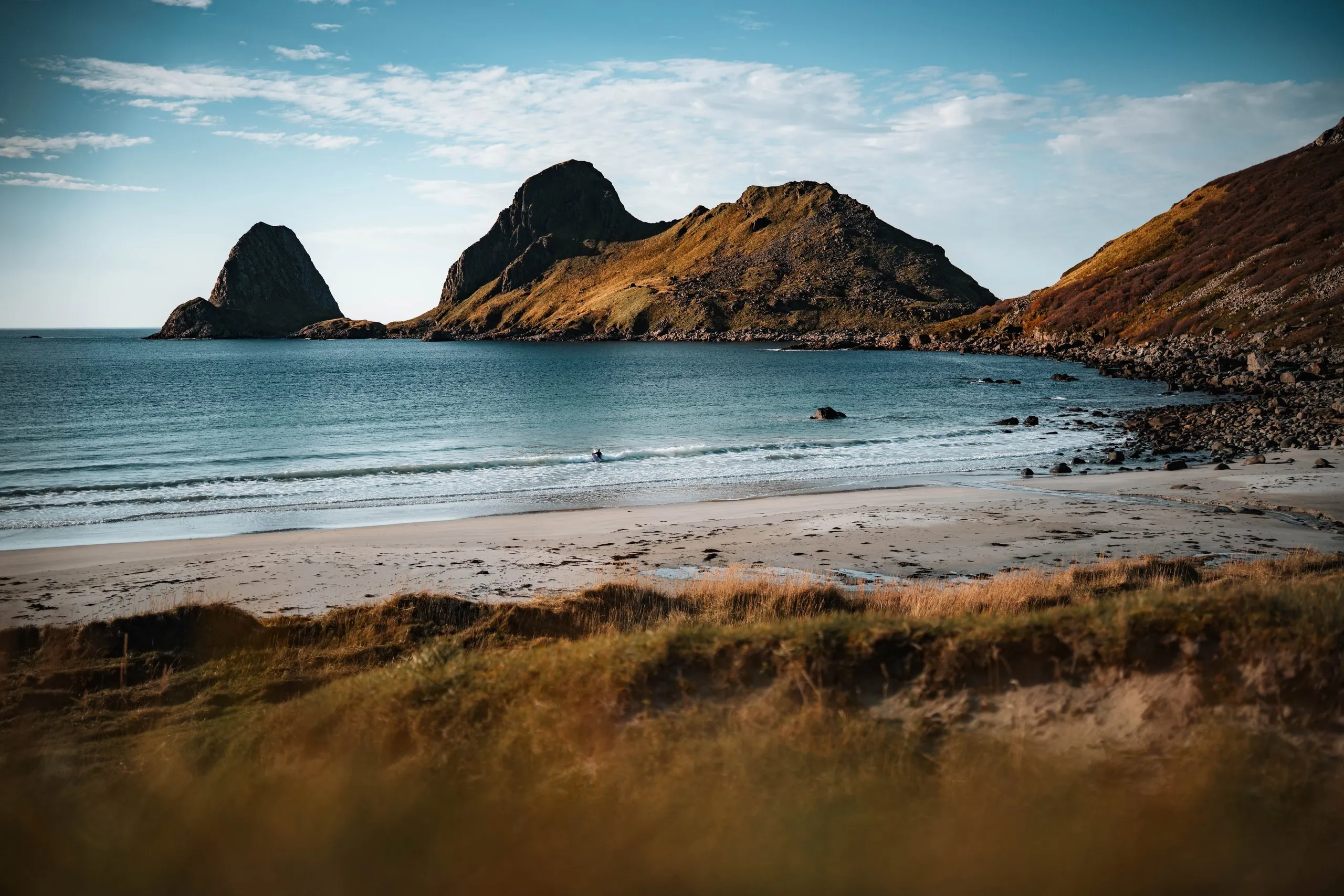
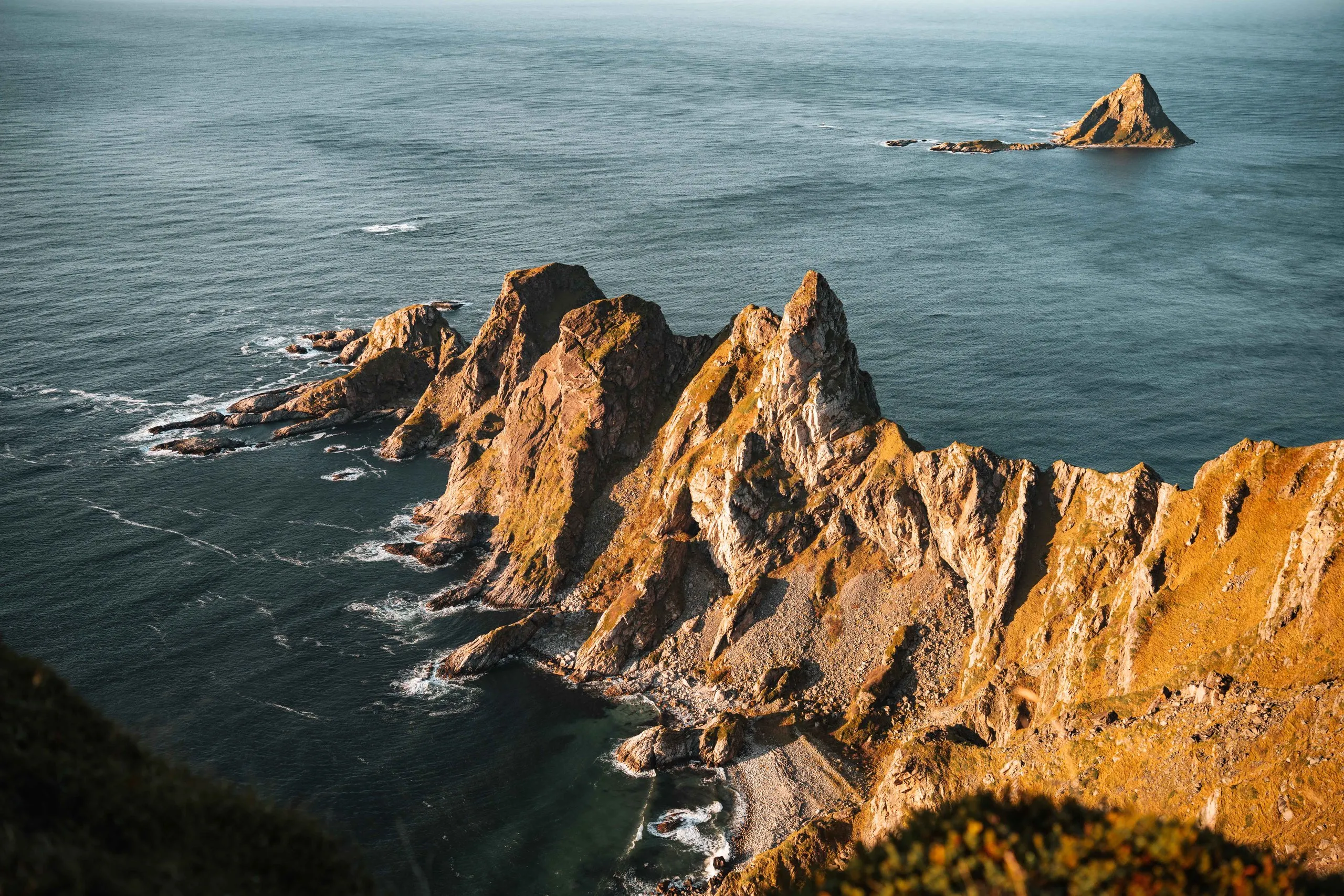
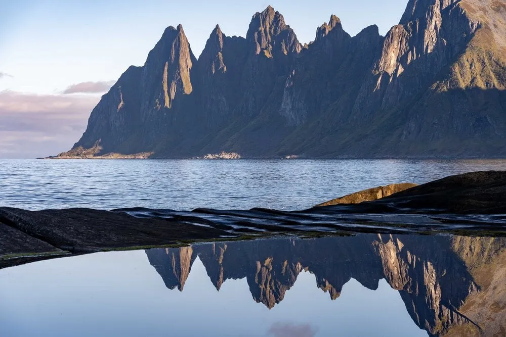
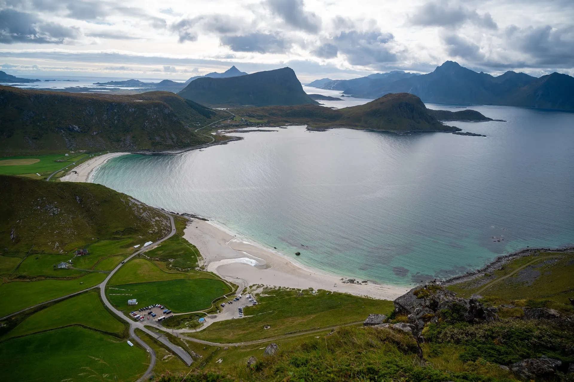
From the summit we see mountains, islands and sea all the way round. Below us lies a bay with a pale sandy beach, on the other side a headland reaches out into the open sea, and in between are turquoise shallows and small islands.
In 2021 the sky is overcast, and we have our picnic on the summit all to ourselves. Only at the top does Nicolas notice that the fully charged drone batteries are in the car. In 2022 we come back with batteries, the sun is shining and the sea shimmers pale blue around the islands. In September 2026 it keeps drizzling and the wind is strong. The slopes have already turned reddish brown with autumn, and on the way up the clouds break open for a moment.
This sends your IP address to the OpenStreetMap Foundation. You can change it any time in the .
Offersøykammen, Lofoten 68.1611° N 13.5018° E