68.0917° N 13.2408° E
Rambergstranda, Lofoten
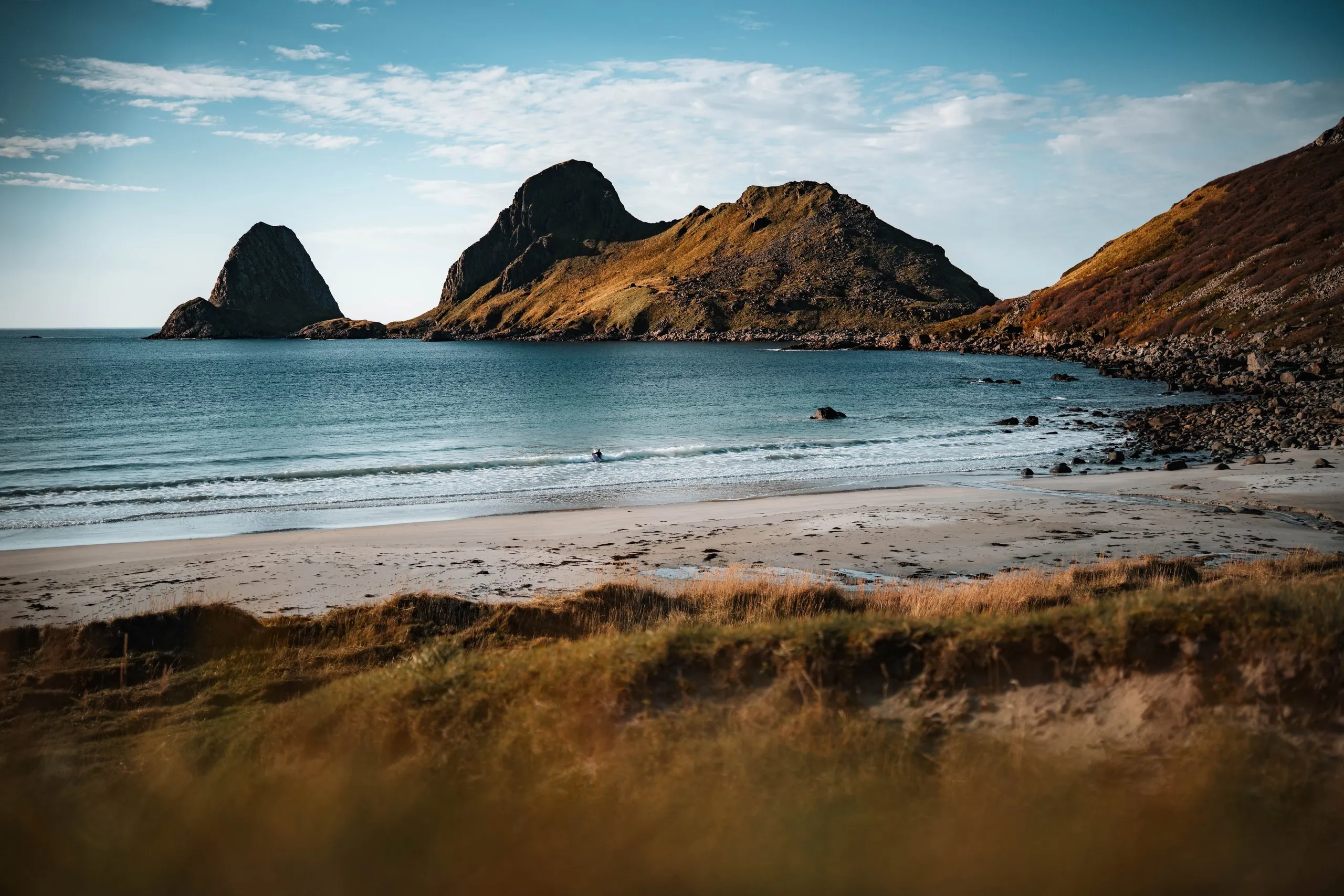
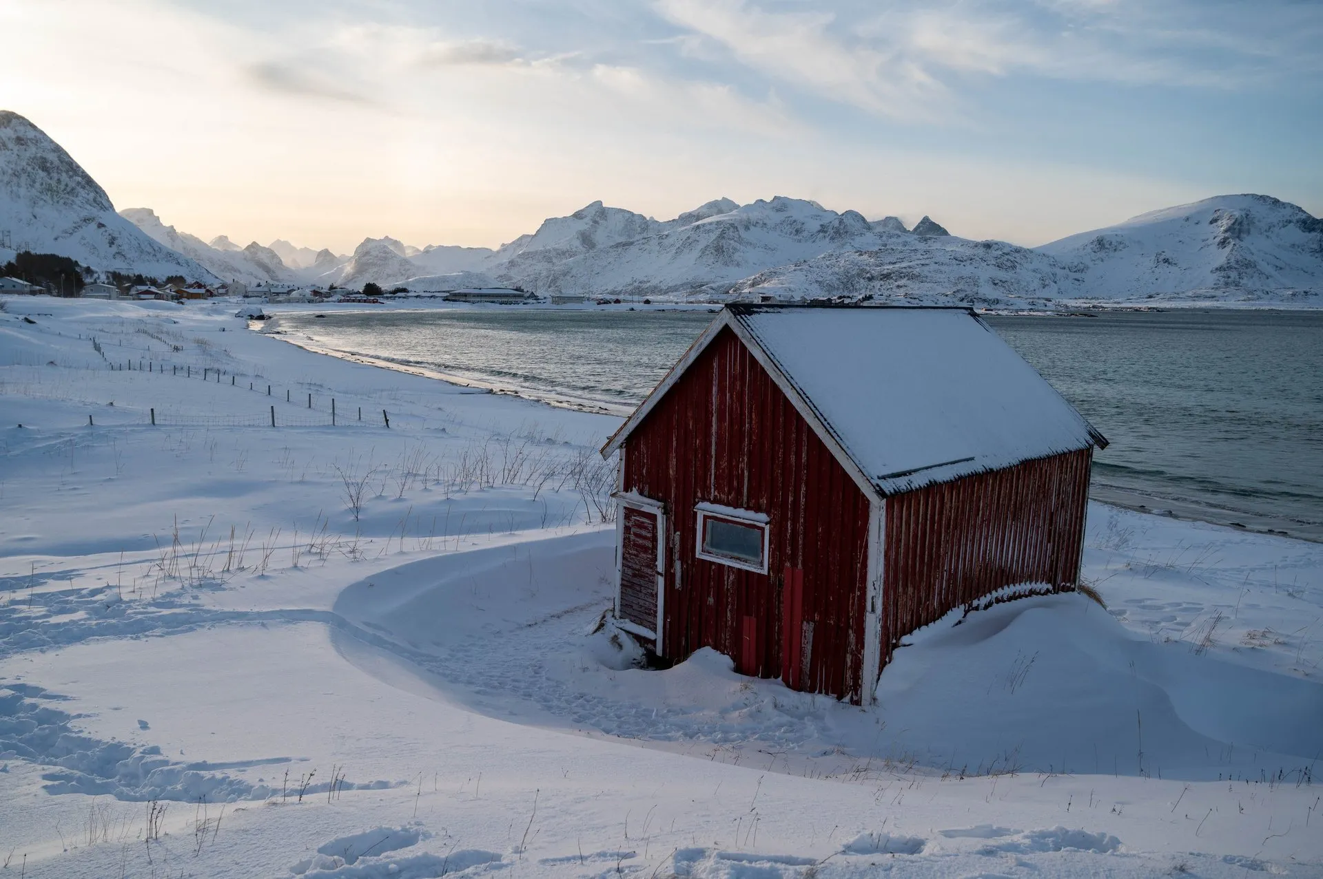
White sand right next to snow, with the little red hut at the edge. In winter the frost forms bizarre patterns in the sand.
- Best time
- Winter · midday light
- Country
- Norway
- Latitude
- 68.0917° N
- Longitude
- 13.2408° E
On site
On Rambergstranda the old red fishing hut stands on its own, known among photographers as the Red Cabin by the Sea. We were on this beach in September 2021, August 2022, February 2024 and September 2026.
In September 2021 it is raining when we photograph the hut. We walk a little along the beach but soon have to flee into the dry car. In August 2022 the sun peeks out between the clouds, we have a picnic on the beach, and there are only a few other people about. It is too cold for a swim, though.
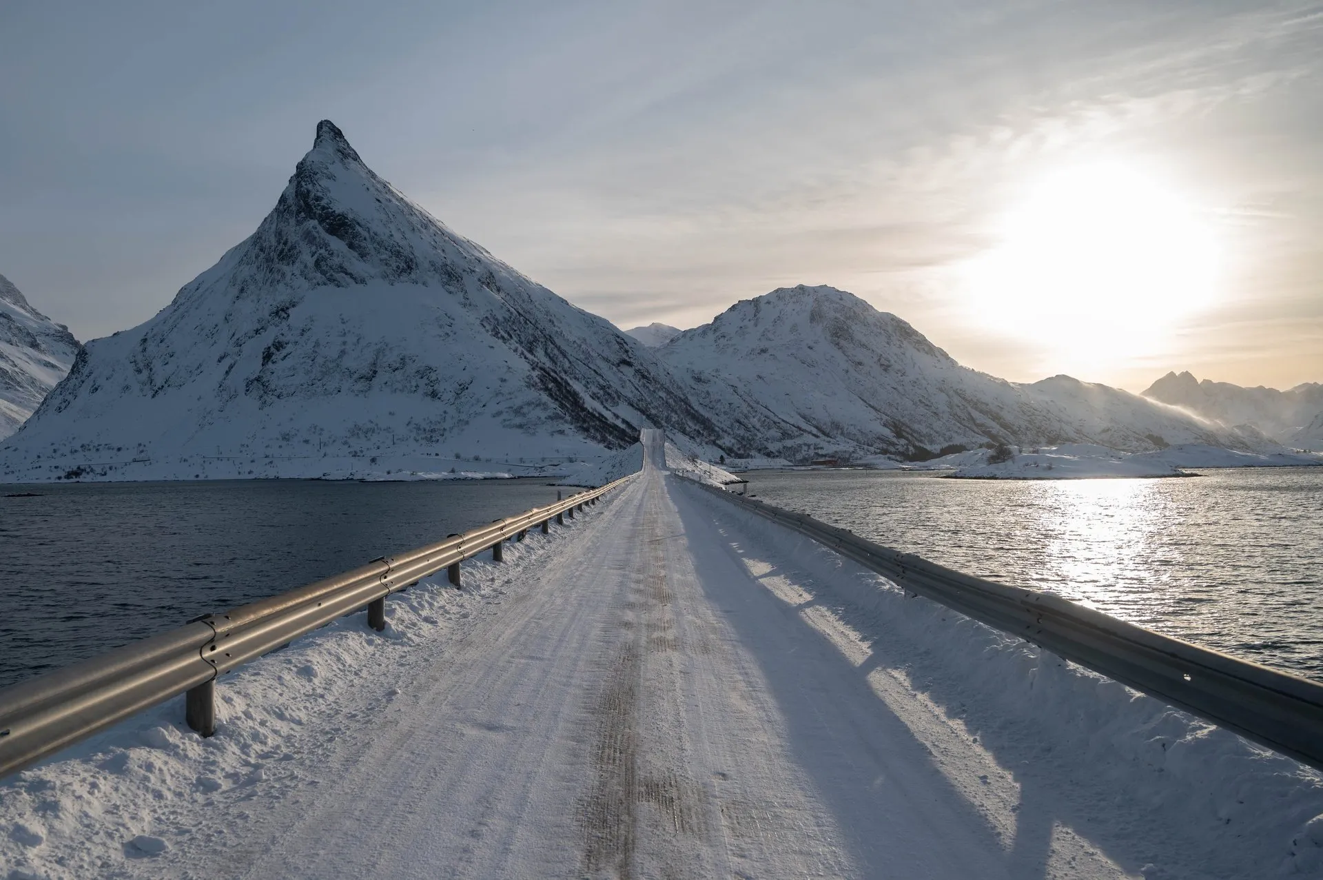
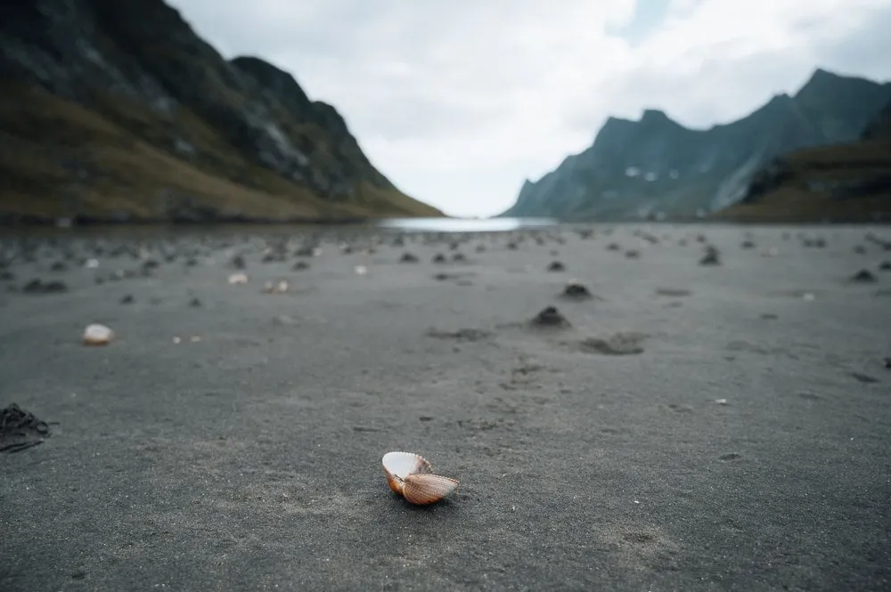
In February 2024 there is snow next to the sand. We walk along the beach and take lots of photos until the cold makes us stop. Three days later the sand is frozen into beautiful formations. Because the tide is out at the same time, we walk a long way out onto the seabed. There are lovely shells lying on the beach, but we do not take any.
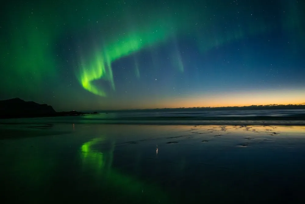
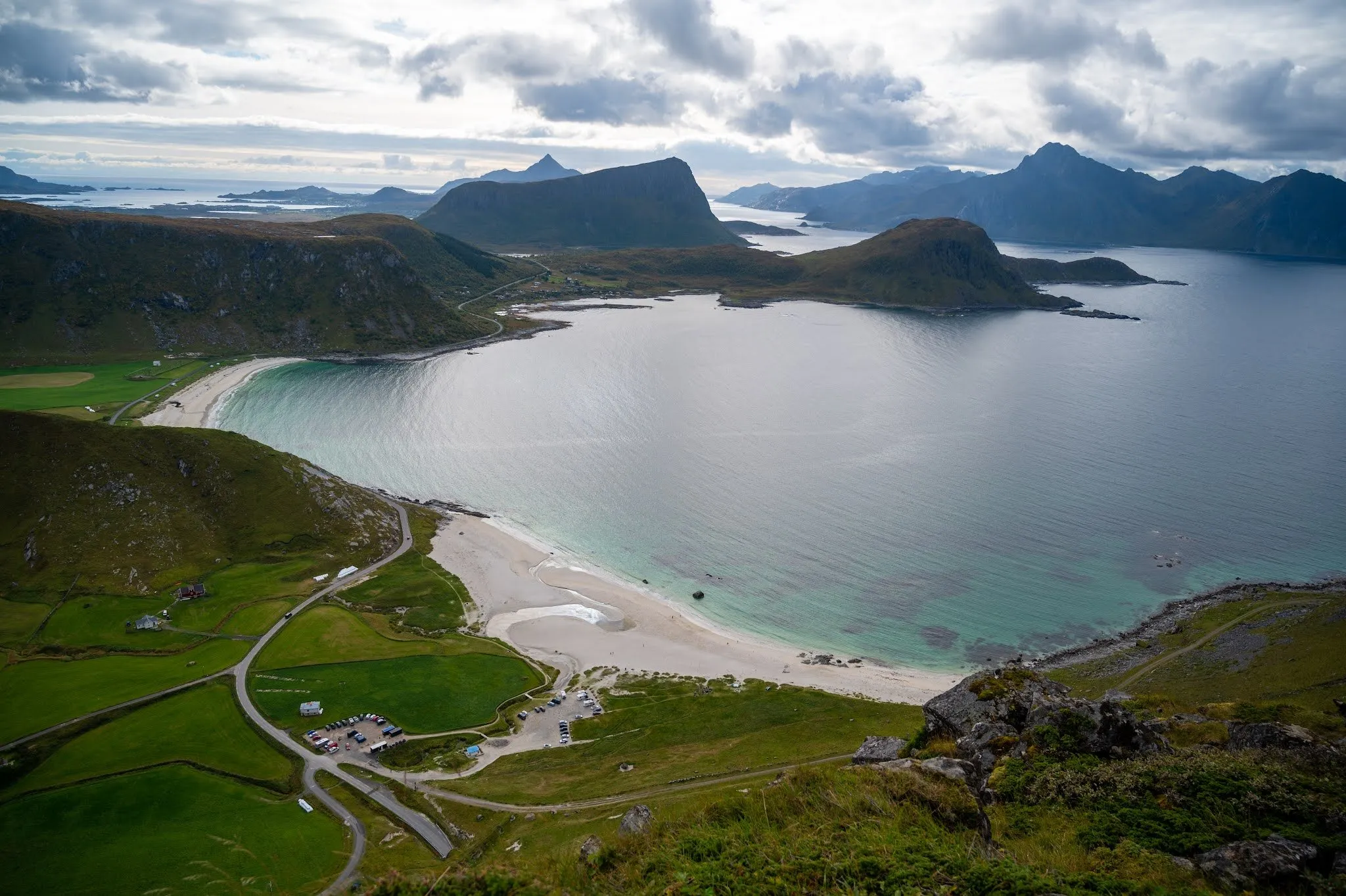
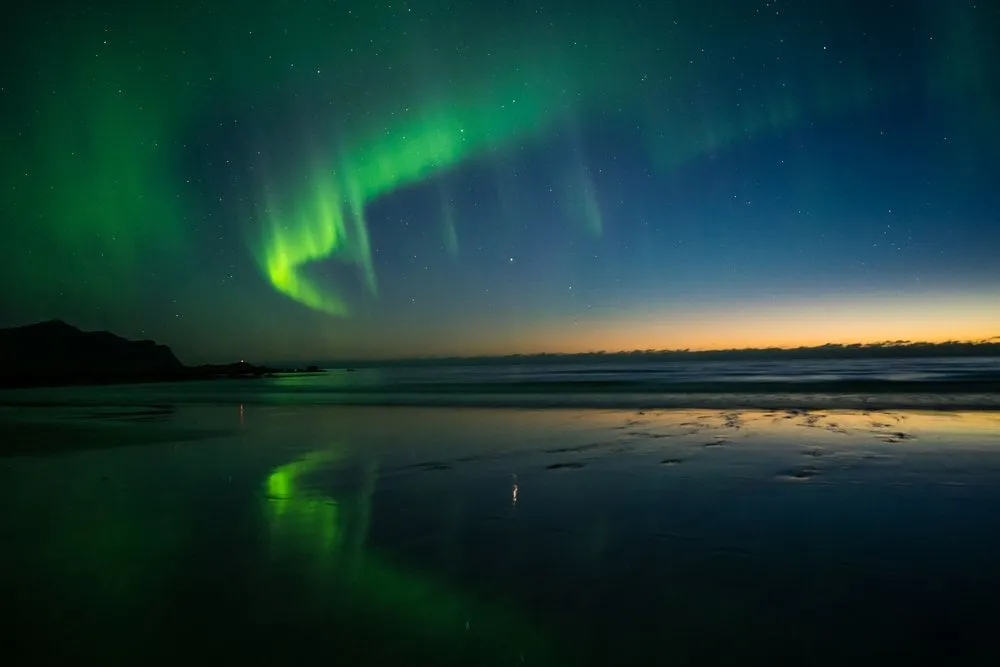
In September 2026 we stop on two evenings in a row. The first time the whole beach lies in evening light, the houses of Ramberg stand behind the bay, and dark clouds are gathering over the mountains. The next evening the very last sunlight is reflected in the pools of water on the beach.
This sends your IP address to the OpenStreetMap Foundation. You can change it any time in the .
Rambergstranda, Lofoten 68.0917° N 13.2408° E