68.6921° N 14.4116° E
Skårvågsfjellet, Vesterålen
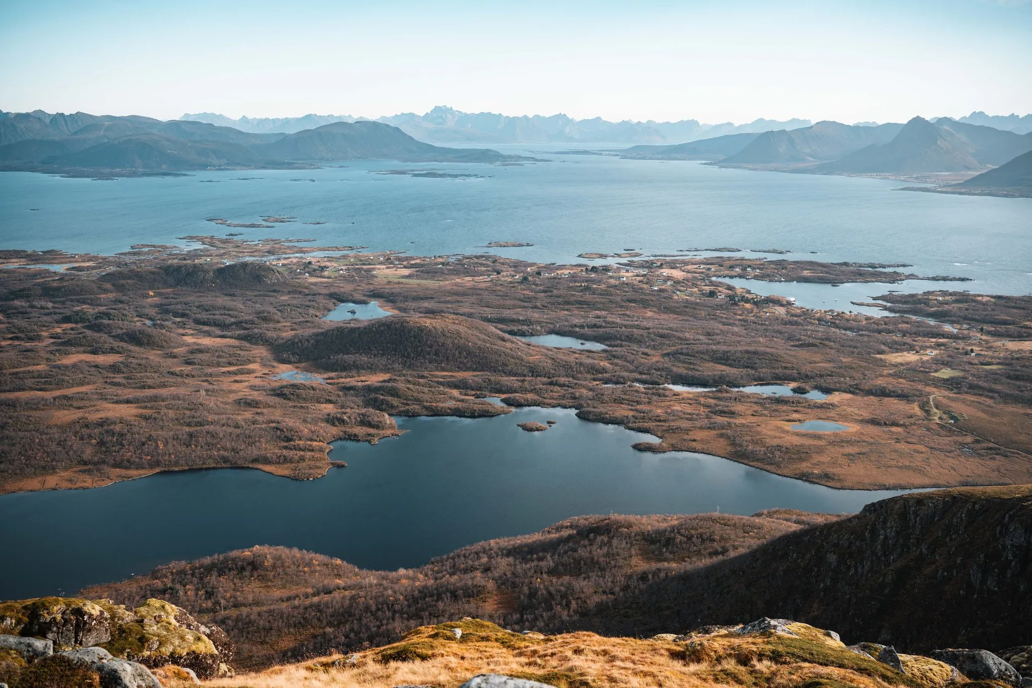
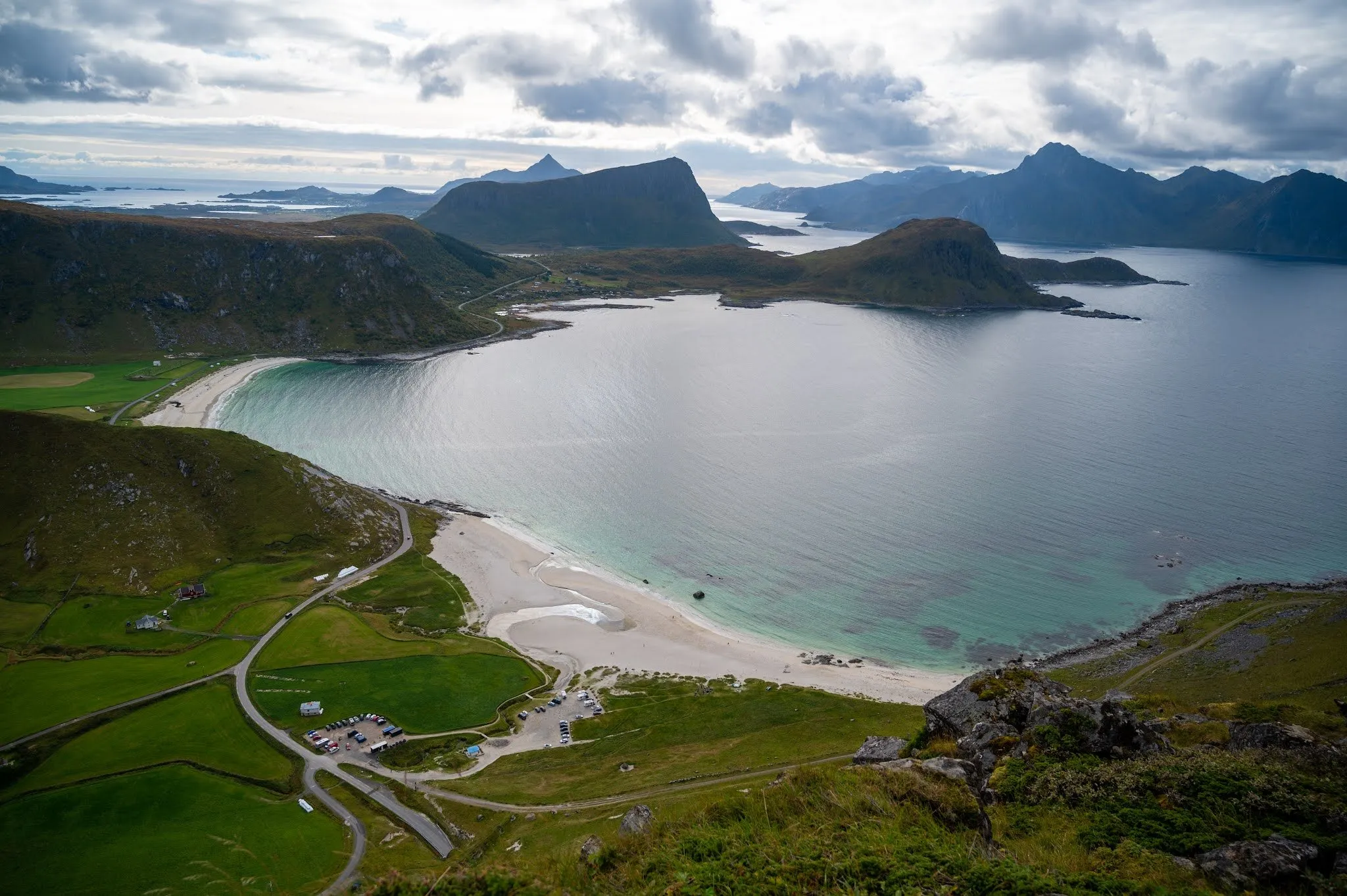
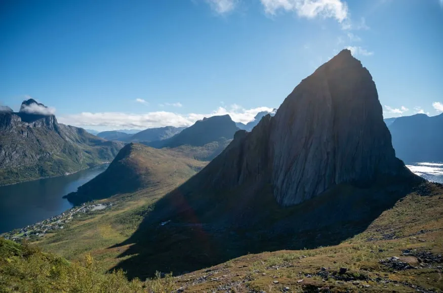
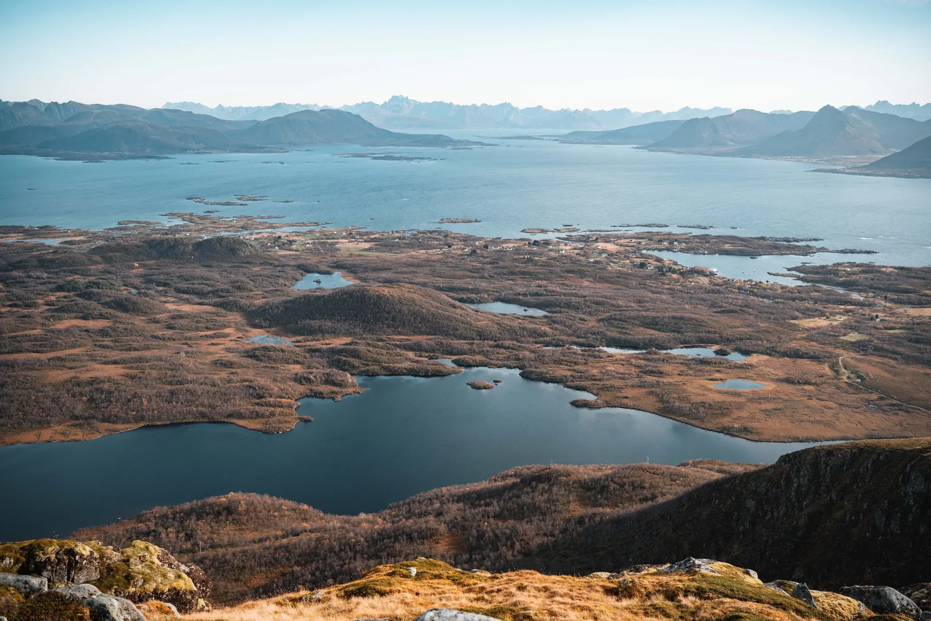
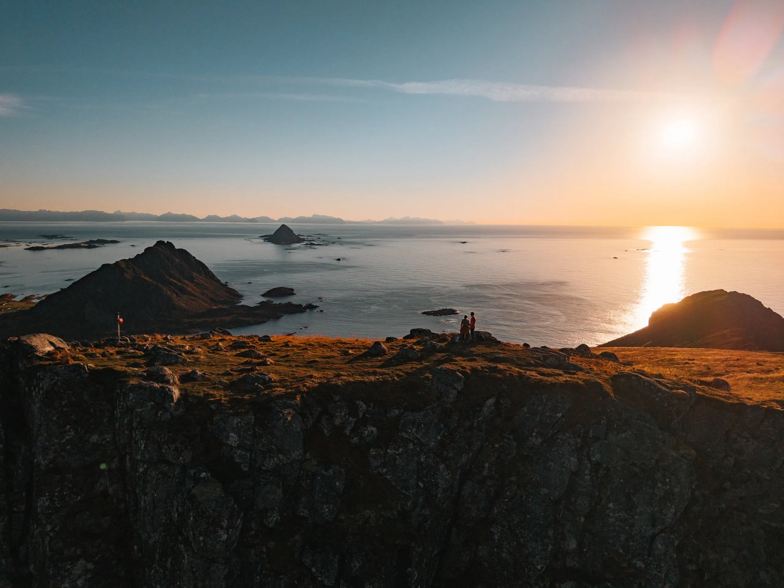
From the 403-metre summit near Bø the view reaches over countless islands to the pointed Gaukværøya and Lofoten. About 400 metres of ascent.
- Best time
- Evenings in clear weather, for the sunset over the sea
- Country
- Norway
- Latitude
- 68.6921° N
- Longitude
- 14.4116° E
On site
Skårvågsfjellet is a 403-metre mountain in the municipality of Bø on Langøya in Vesterålen. A route suggestion on ut.no counts it among the most beautiful and easiest mountains in Bø. As recommended there, we park on the road to Skårvågen, at the turn-off just past the bay of Krumsvågen. According to ut.no, it is 4.6 kilometres there and back on the same path.
On 1 October 2026 it is our second hike of the day, after Bufjellet above Sandvika. The path starts almost at sea level and is very muddy at first, crossing a bog on a few boardwalks. Then comes the steepest stretch, about 100 metres of ascent according to ut.no, after which the path continues along the ridge and over old peat bogs. At a fork, the left branch leads to the summit and the right one up Tverrfjellet. The last stretch is stony.
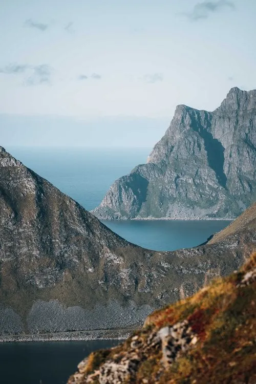
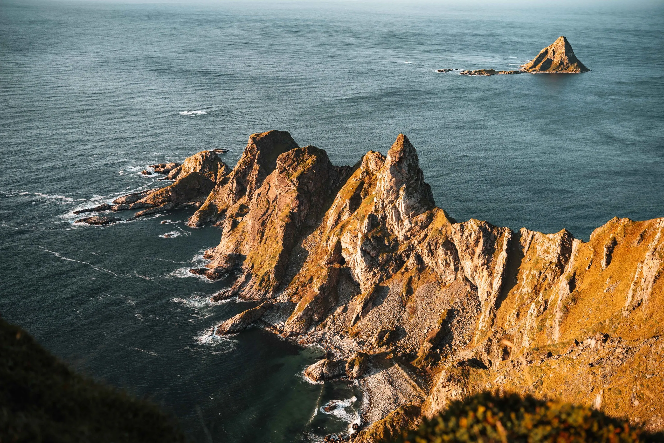
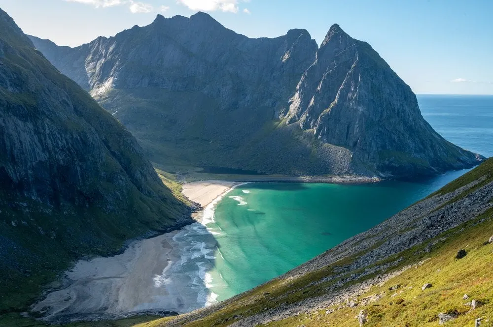
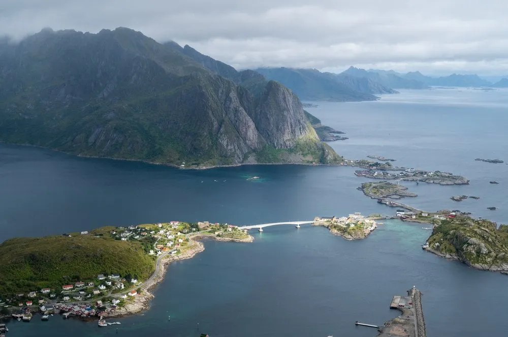
After about 400 metres of ascent and an hour and a half we are at the top. It is warm and still, we have walked up in T-shirts, and we have the summit to ourselves. Below us lie countless small islands, one of them shaped like a heart. A good nine kilometres to the south-southwest lies the pointed island of Gaukværøya, and behind it the mountains of Lofoten line the horizon.
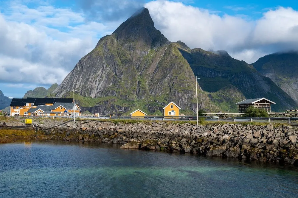
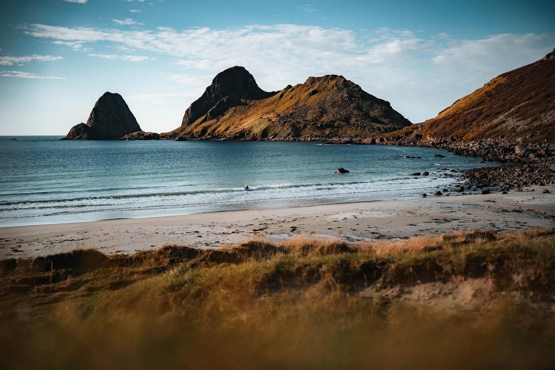
In the light of the setting sun we go back down the same way, with the pointed Gullstabben above the bay of Krumsvågen ahead of us. When the sun sinks into the sea at 18:26, we have just got back to the car.
This sends your IP address to the OpenStreetMap Foundation. You can change it any time in the .
Skårvågsfjellet, Vesterålen 68.6921° N 14.4116° E