68.1480° N 14.2007° E
Henningsvær Football Pitch
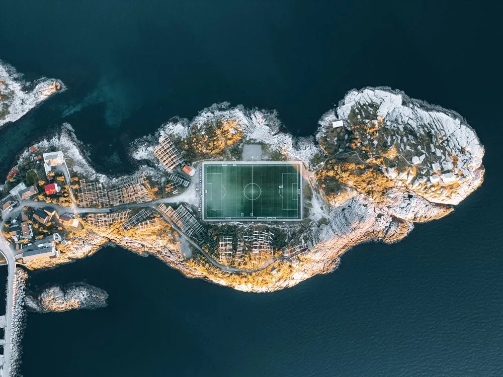
Norway's most famous football pitch, wedged between rock and sea. Only really readable from the air.
- Best time
- Sunset · drone
- Country
- Norway
- Latitude
- 68.1480° N
- Longitude
- 14.2007° E
On site
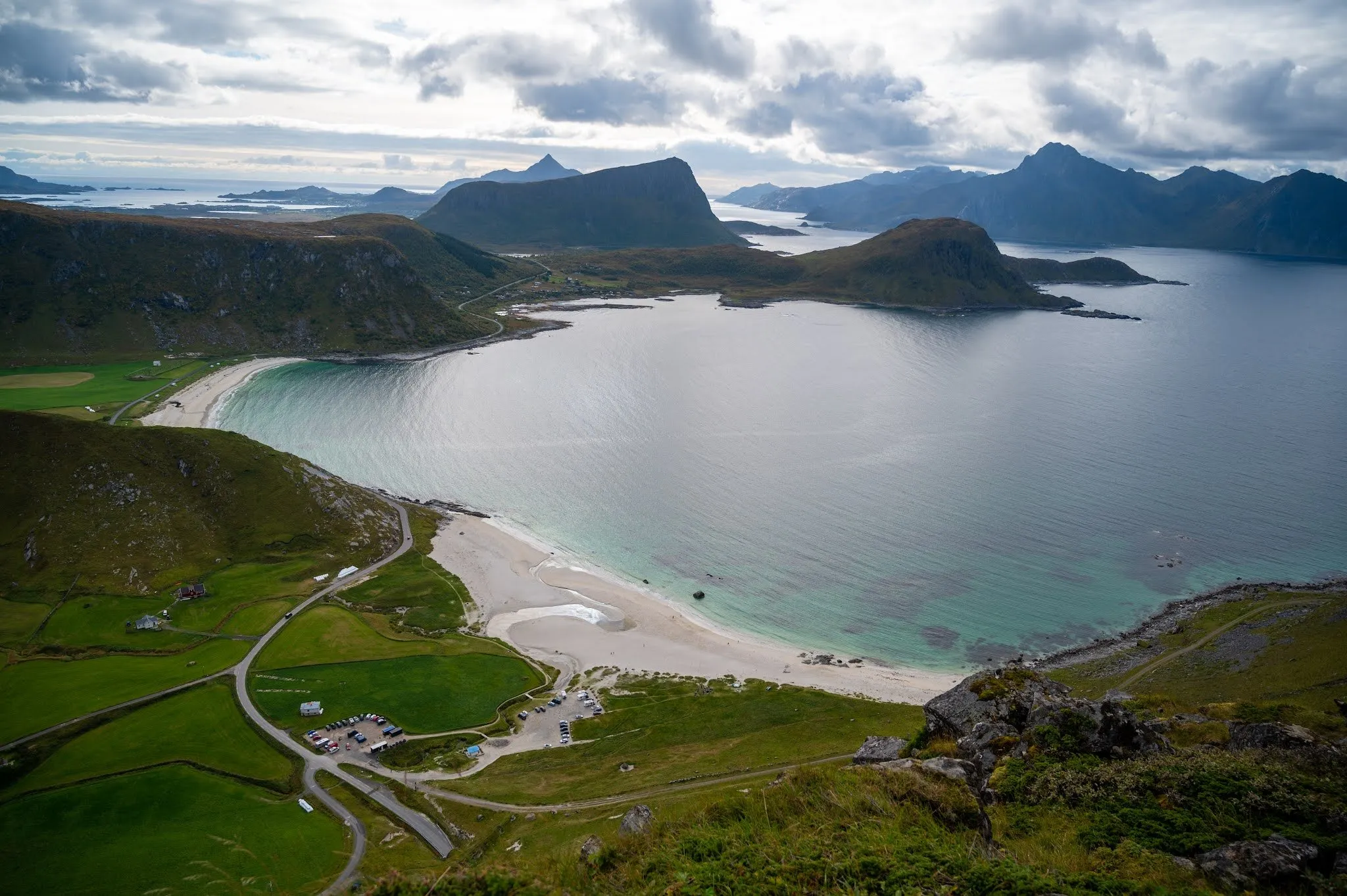
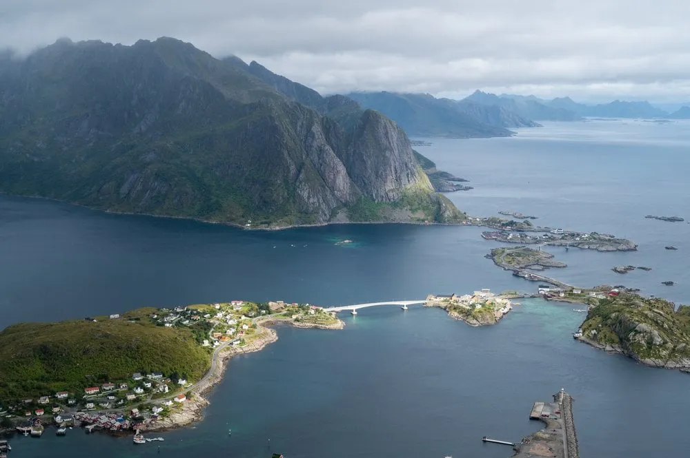
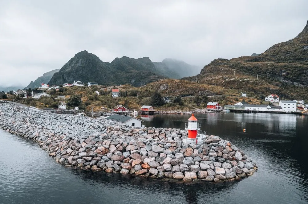
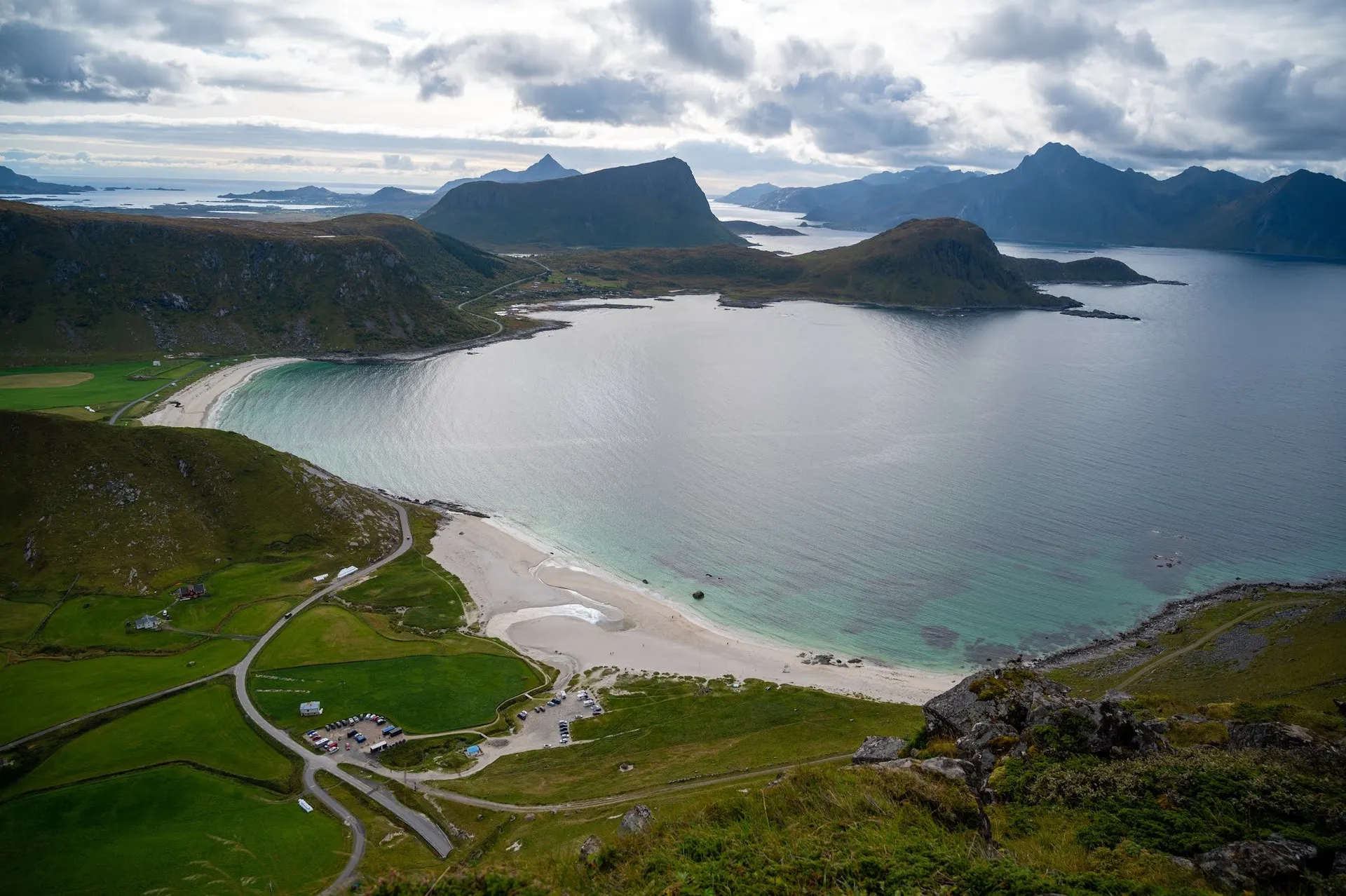
Henningsvær lies on the south coast of Austvågøya and is spread across small islands. The football pitch lies right out on the rocks, on a small island surrounded by the sea. It makes a great subject for photos and filming with the drone.
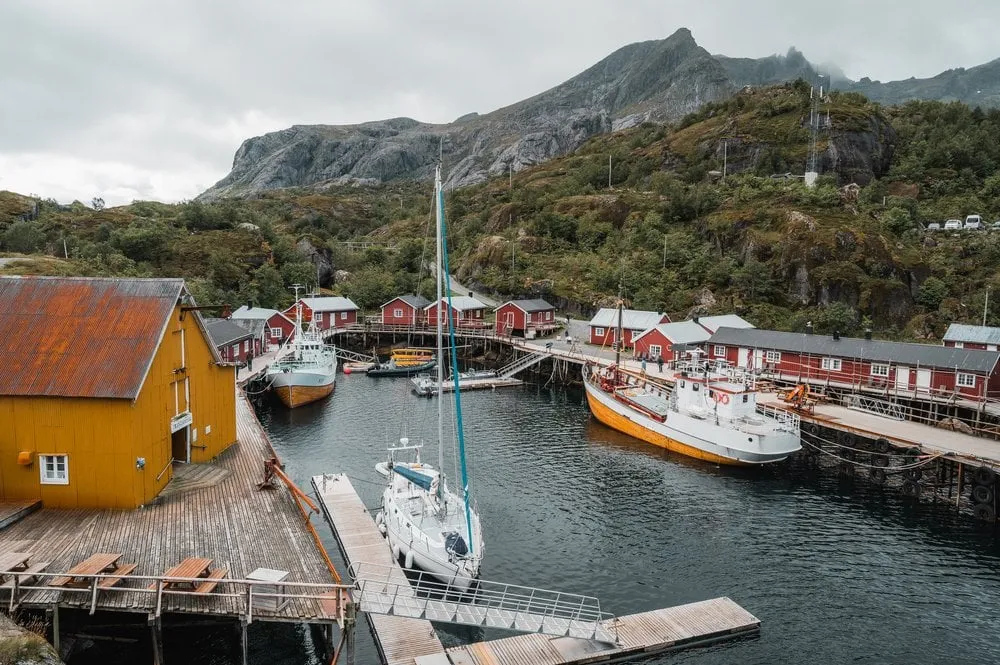
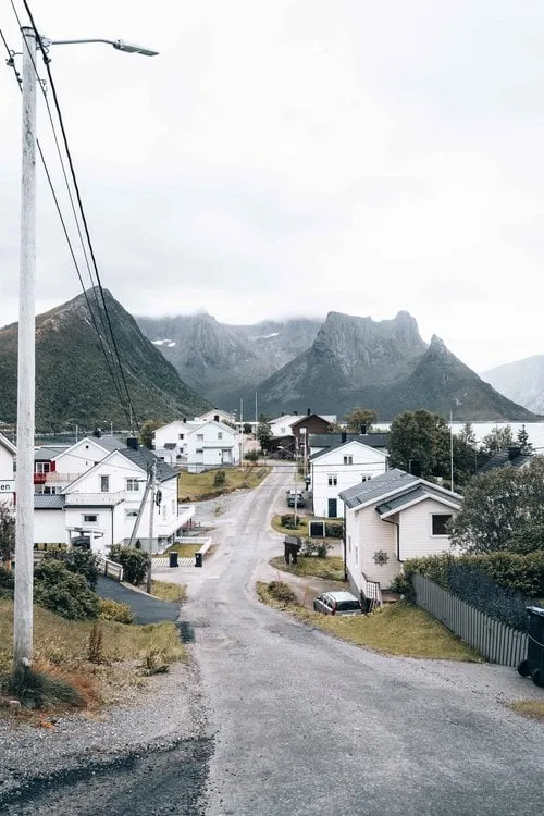
We are here for the first time in September 2021, on a rainy day. We walk through the village, past lots of little shops, with mountains and sea in view the whole time, until we reach the football pitch. Nicolas flies the drone, and Annina looks out to sea. Because we only know Henningsvær in the rain, we come back in sunshine at the end of the same trip.
In September 2022 we arrive after the hike up Offersøykammen, in time for sunset. At the outermost point by the football pitch we stop, Nicolas takes more drone shots, and the pitch lies in golden evening light. That is how our photo was taken. In September 2026 we have lunch at Henningsvær Lysstøperi og Café, a candle workshop with a café, and look at the football pitch once more in the early afternoon.
This sends your IP address to the OpenStreetMap Foundation. You can change it any time in the .
Henningsvær Football Pitch 68.1480° N 14.2007° E