68.0890° N 13.0928° E
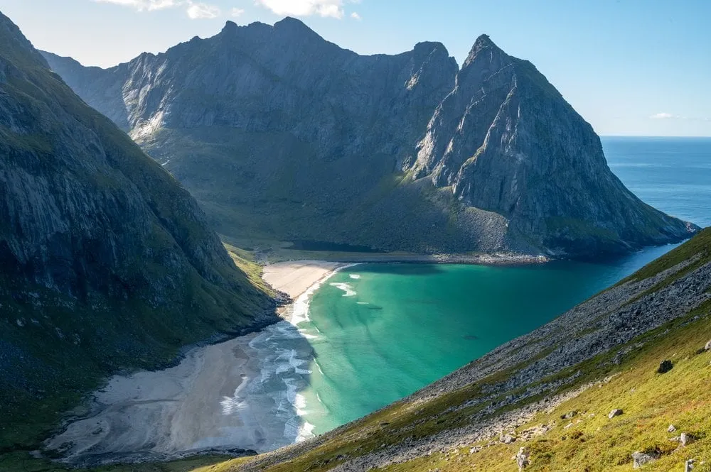
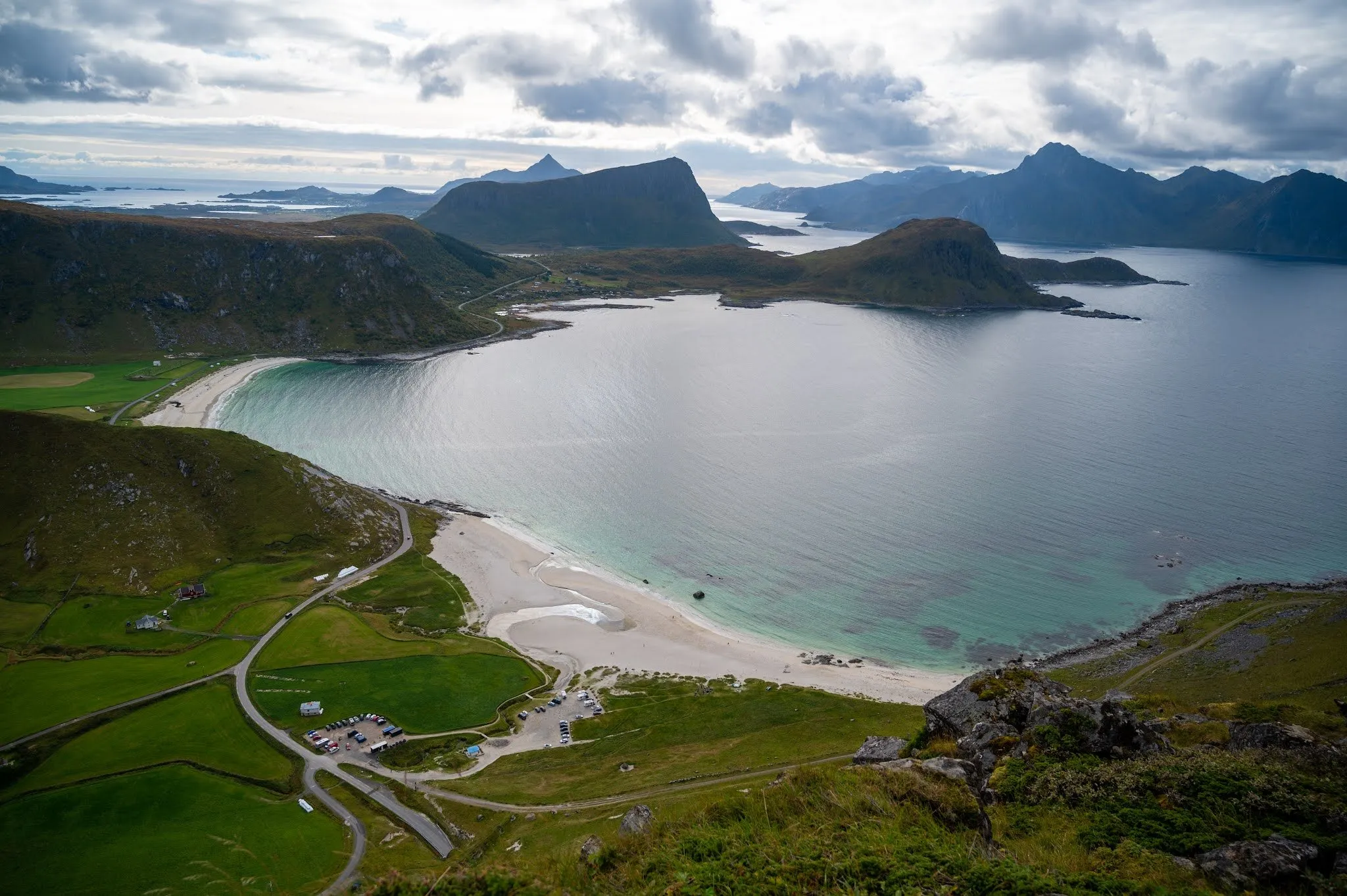
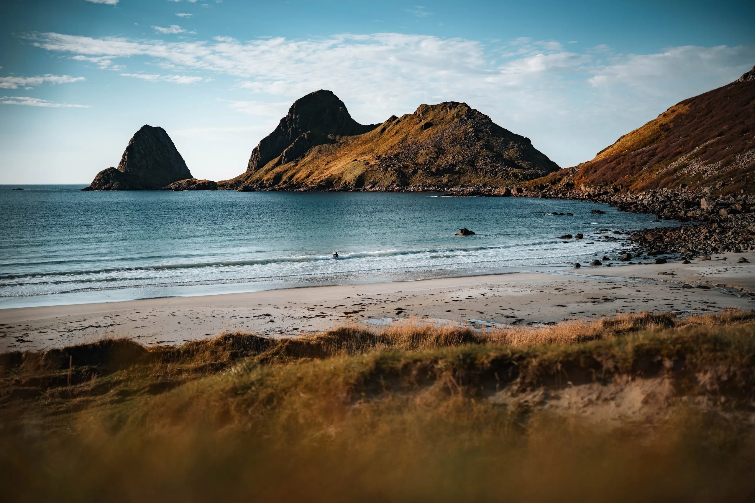
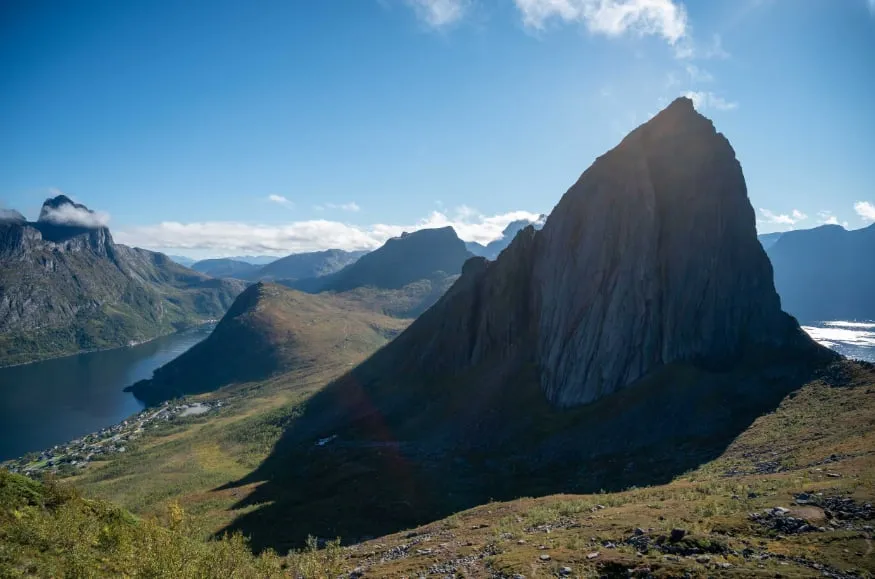
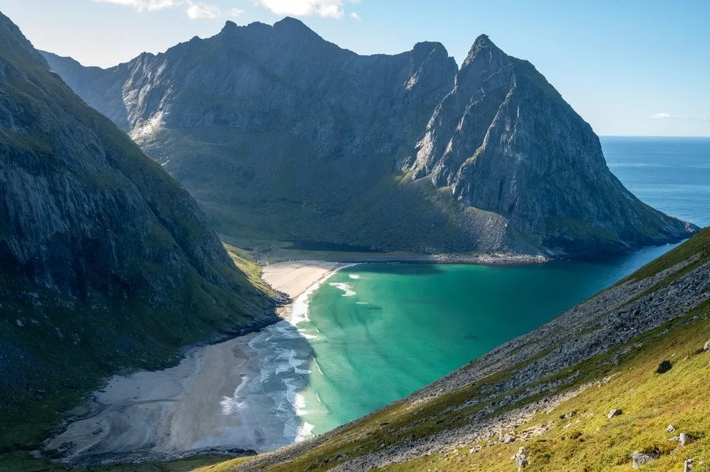
Ryten above Kvalvika Beach
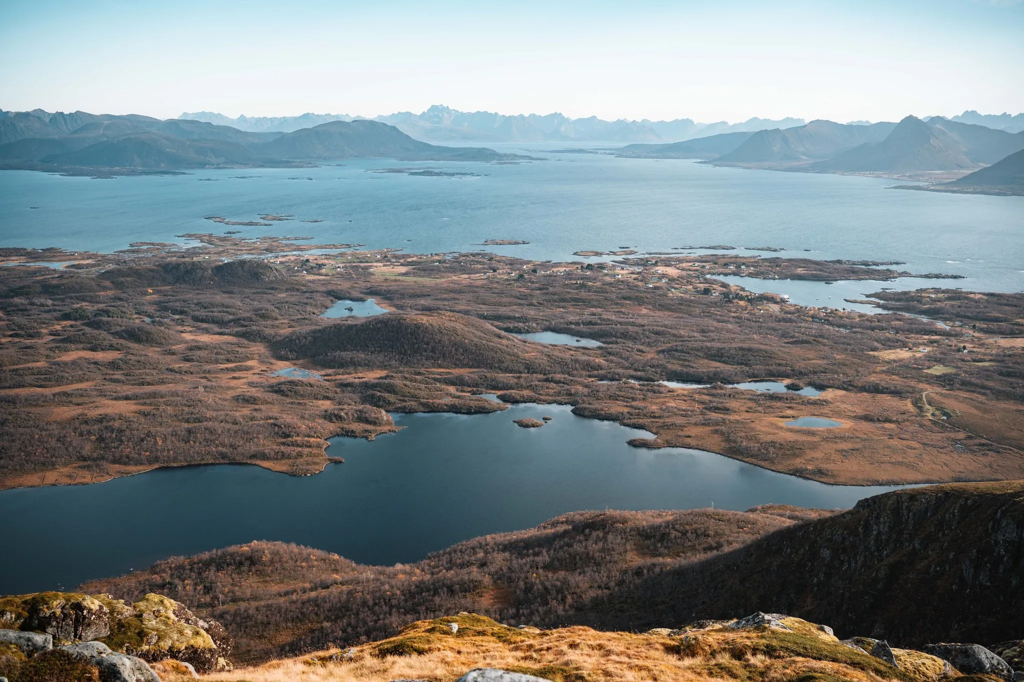
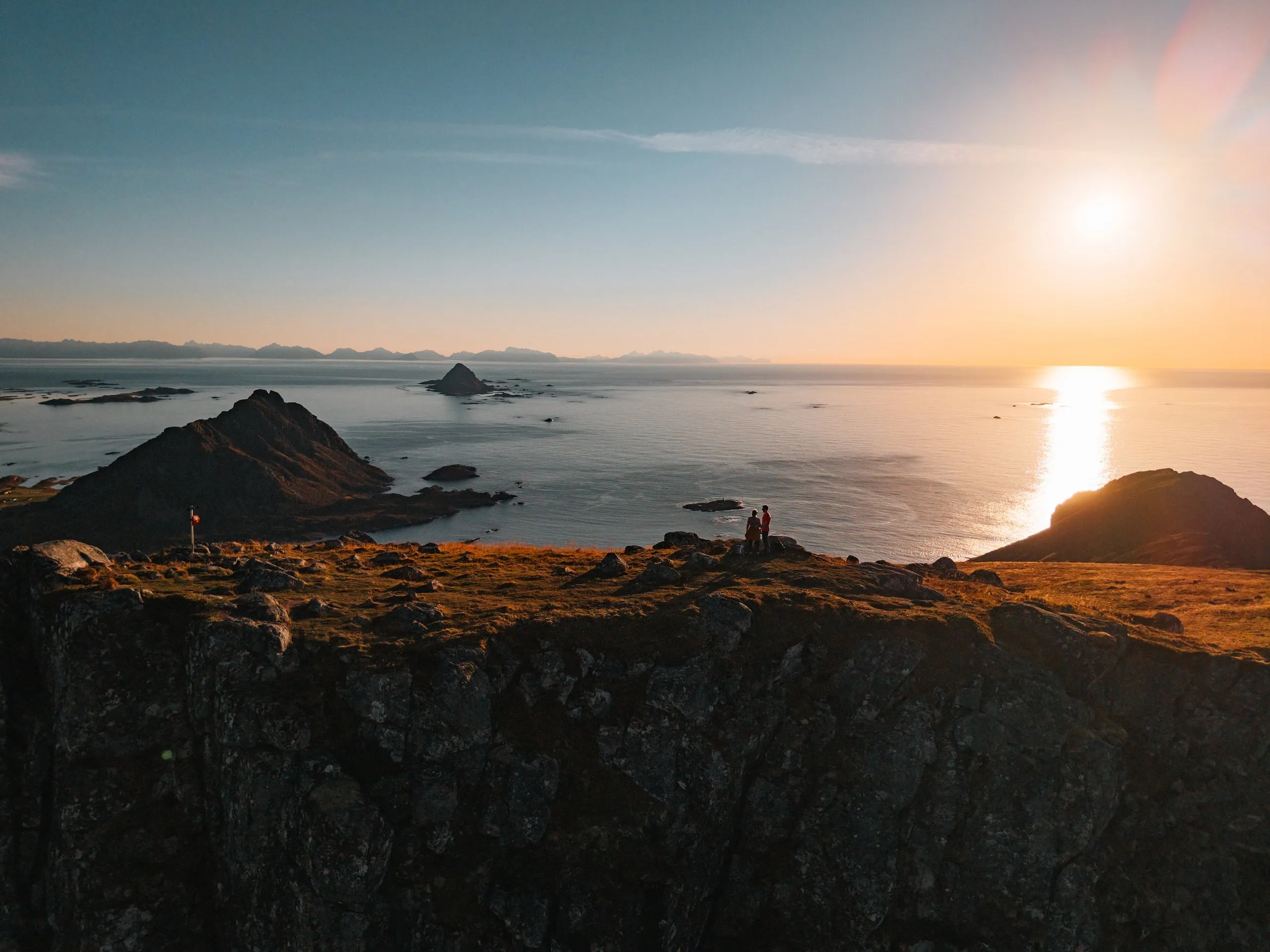
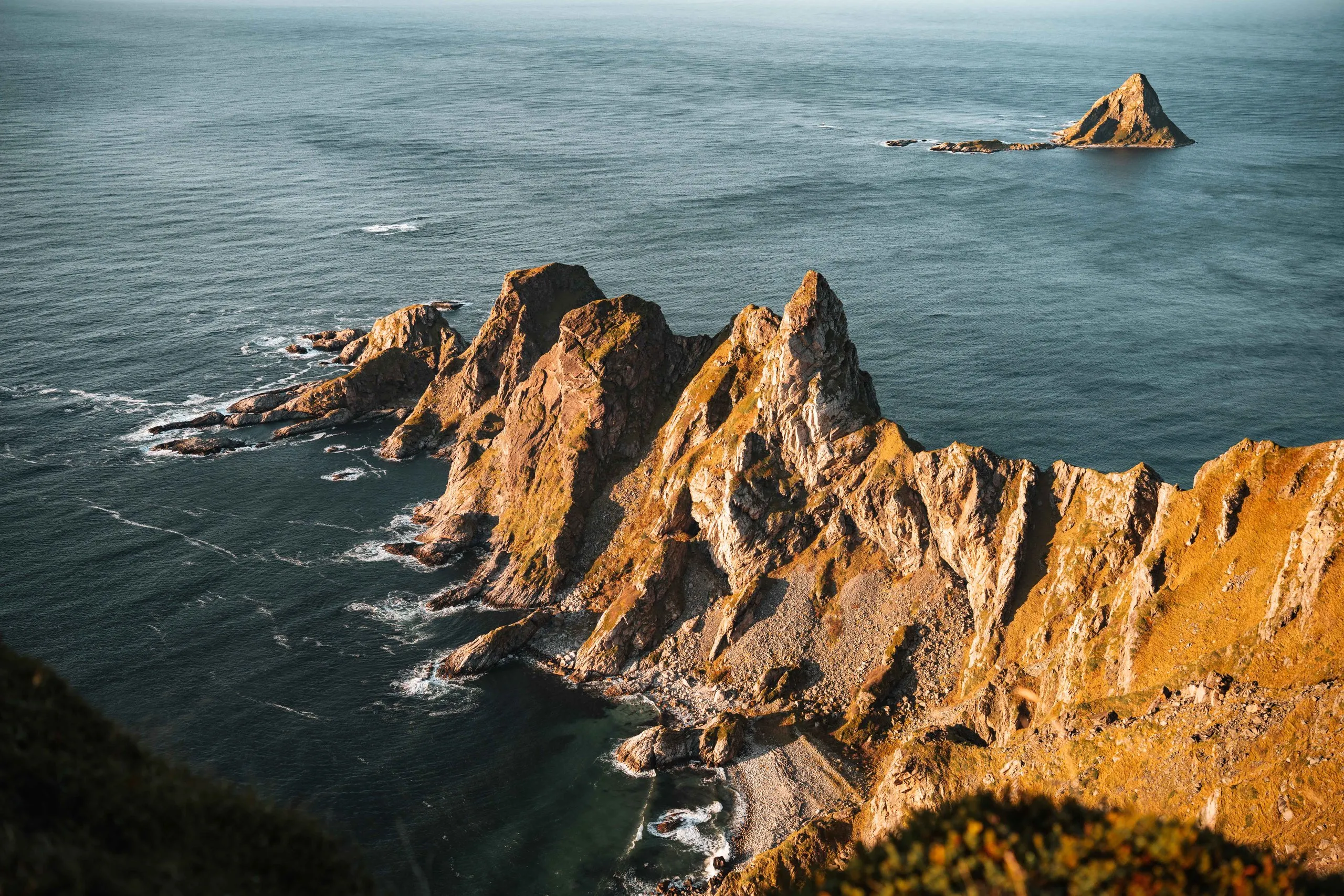
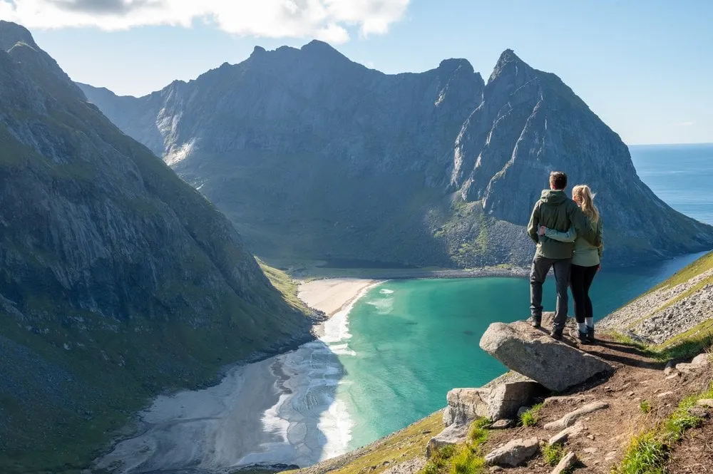
543 metres above Kvalvika Beach, with the overhanging rock as a viewing platform. Two to three hours up from Fredvang.
- Best time
- Midnight sun · June to July
- Country
- Norway
- Latitude
- 68.0890° N
- Longitude
- 13.0928° E
On site
Ryten rises 543 metres above sea level, directly above Kvalvika Beach. The big loop over the summit starts in Fredvang. According to ut.no, Innersand car park costs 100 kroner and has toilets and drinking water. The car park at the school is free, and from there it is 2 km more on foot. For the path over Ryten, ut.no gives May to September as the season.
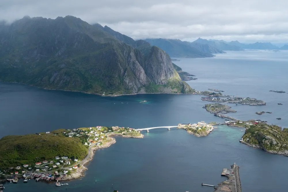
In September 2022, in glorious sunshine, we grab a coffee in Ramberg and drive to the car park at Fredvang. Which of the two it was, we did not record. According to ut.no, the path starts in Innersand as a well-made trail with boardwalks and gets steeper from Einangen. Some sections are typically Norwegian, steep boulders where we have to find our own way. Most of the time, though, we follow a normal trail, and on the way up we look back at the beach at Fredvang.
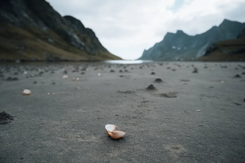
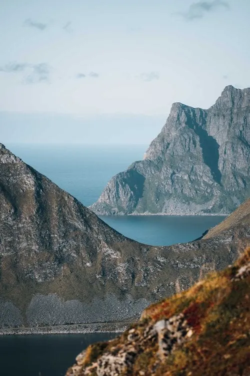
After two to three hours we stand at the top and look straight down on the turquoise bay. On the summit there is an overhanging rock, and we venture out onto it for photos. Then we head down to the white sandy beach. For the way back we take the direct path over the Skoren saddle to Torsfjorden, with only 200 metres of ascent but lots of scrambling. Finally we still walk an hour along the road back to the car park.
This sends your IP address to the OpenStreetMap Foundation. You can change it any time in the .
Ryten above Kvalvika Beach 68.0890° N 13.0928° E