69.5422° N 17.6625° E
Husøy, Senja
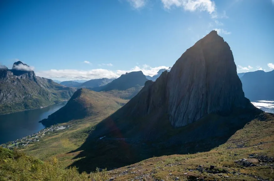
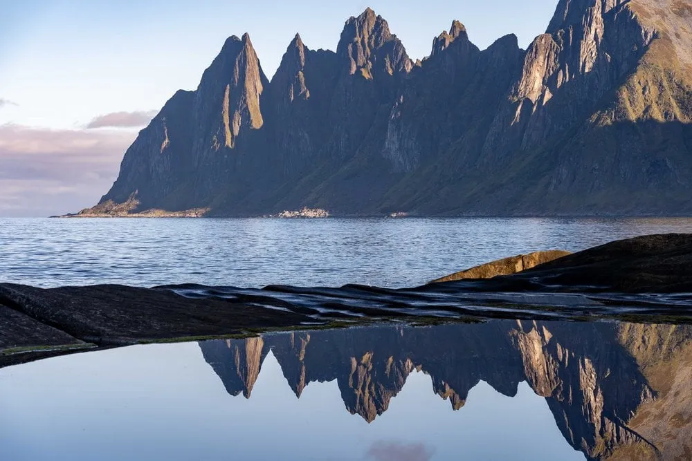
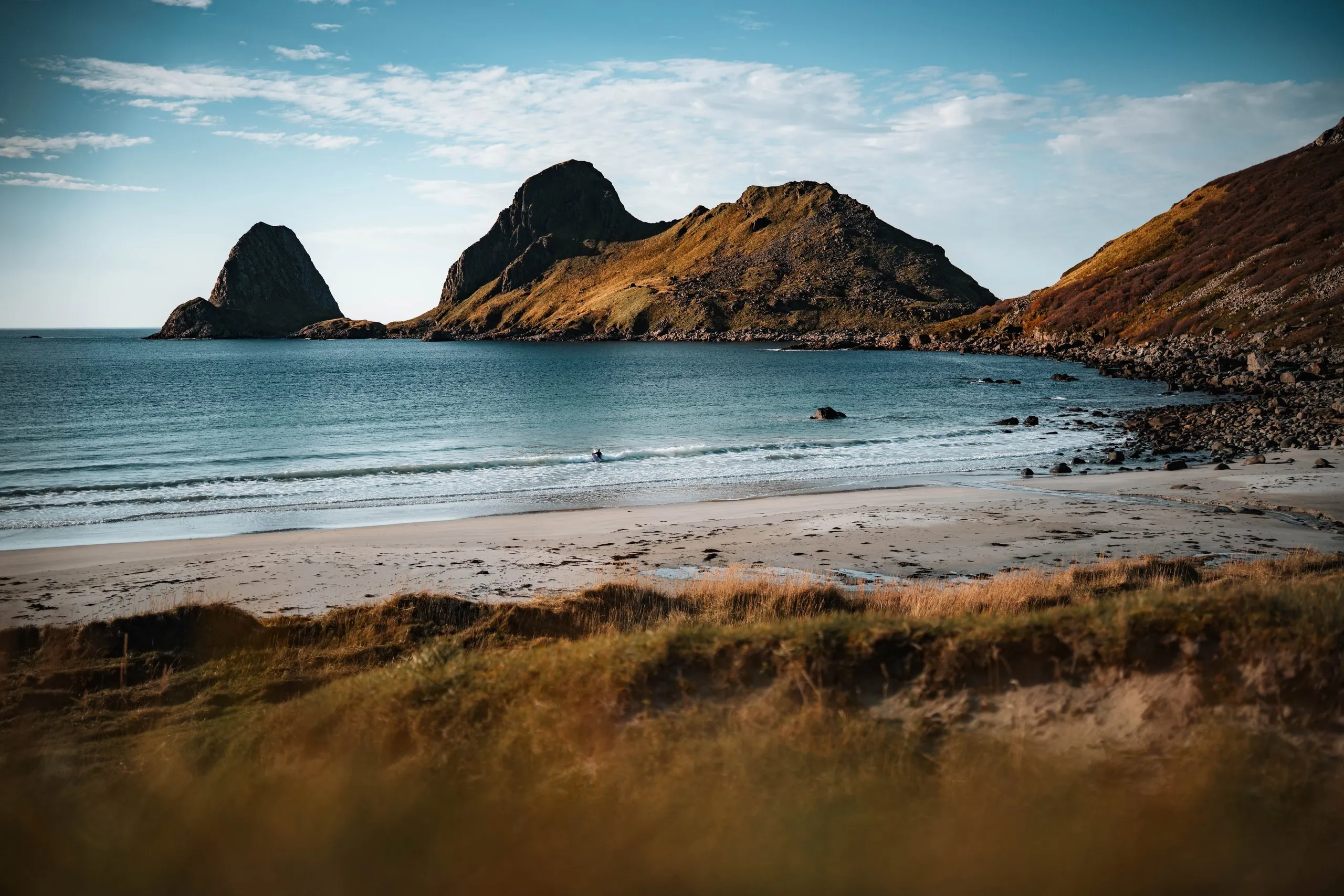
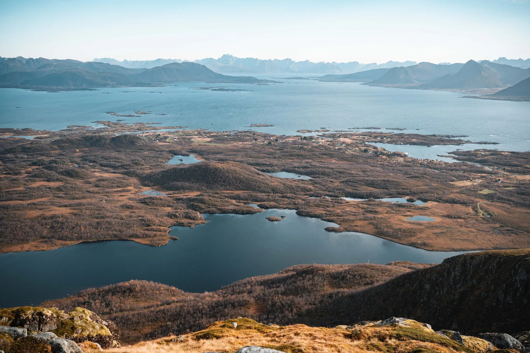
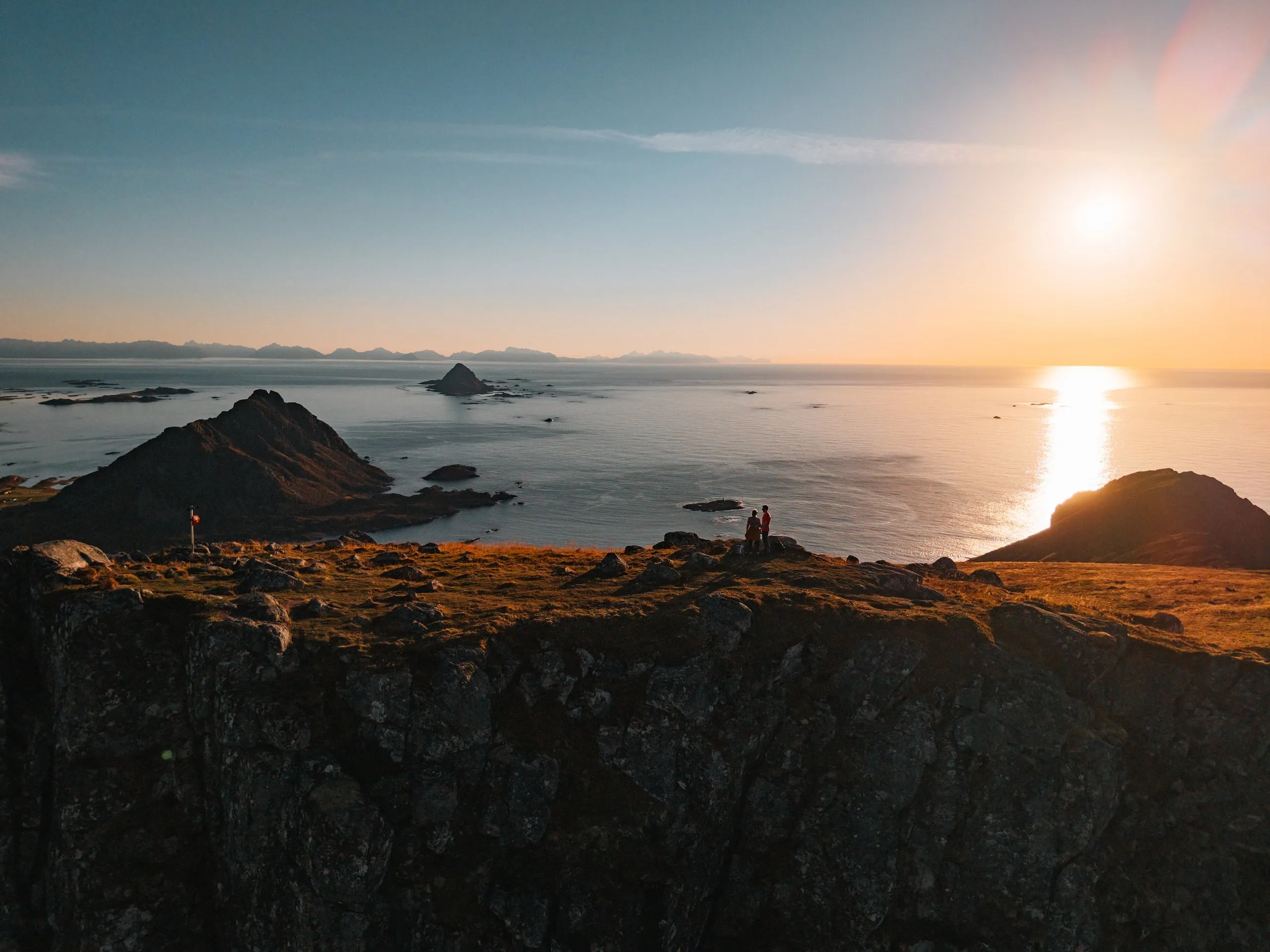
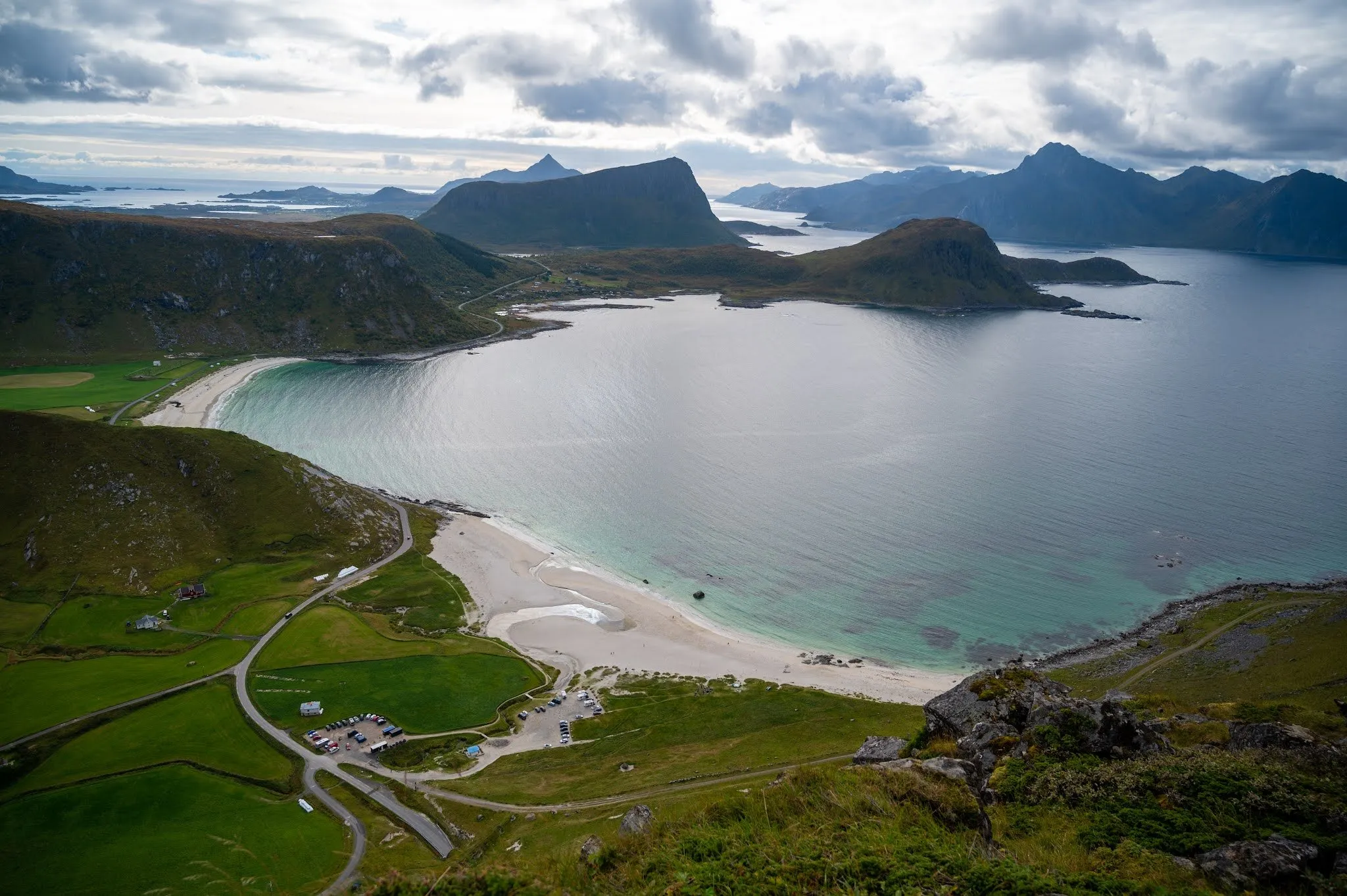
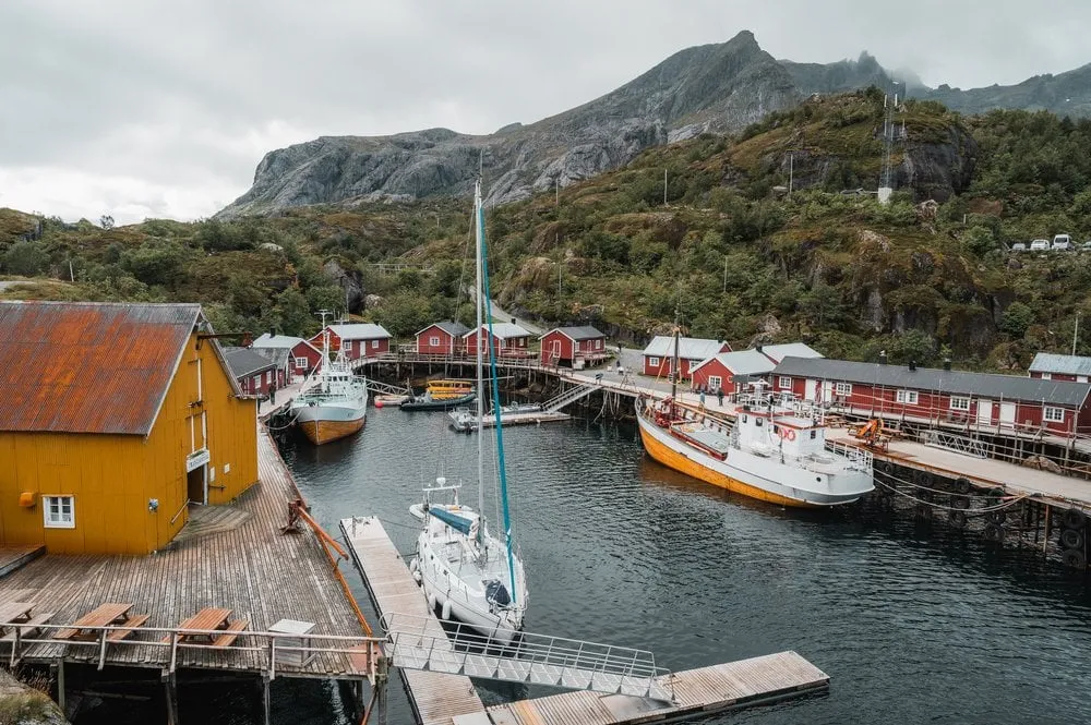
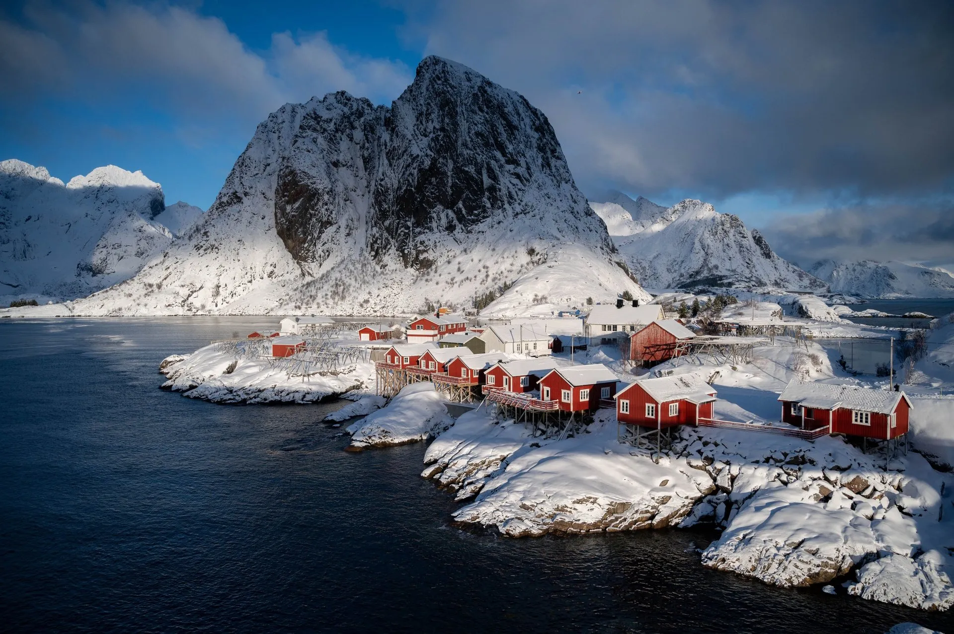
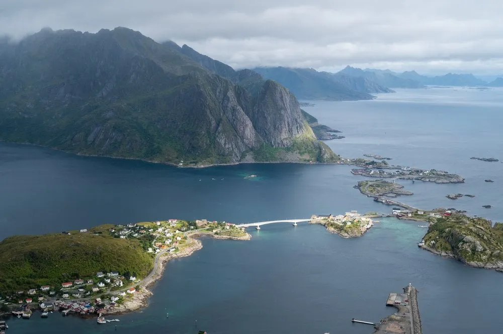
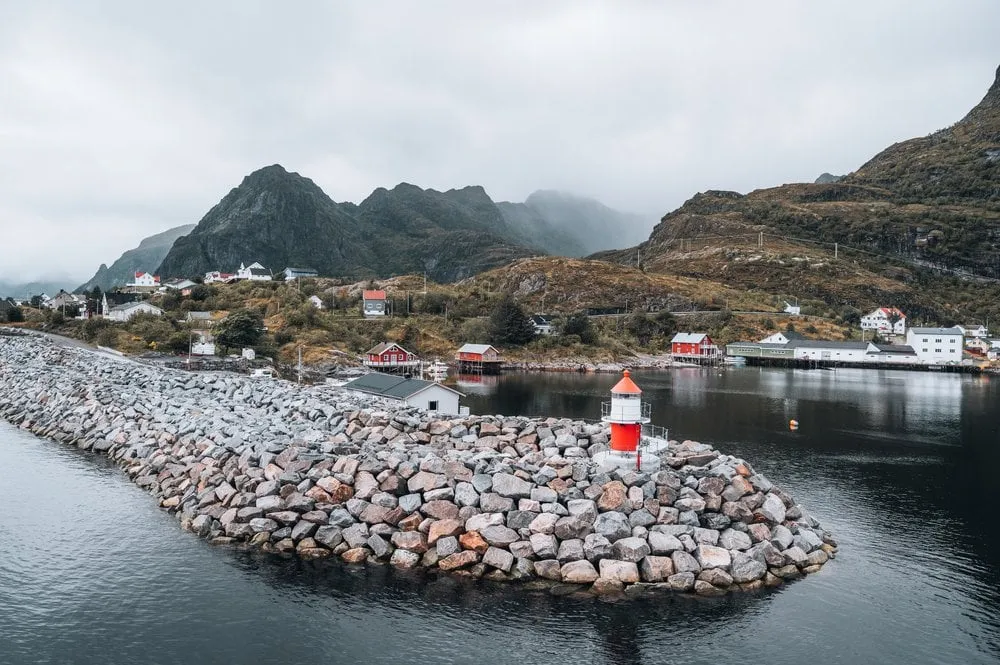
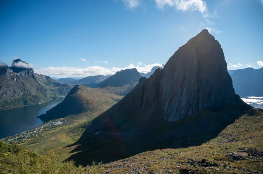
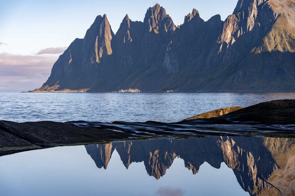
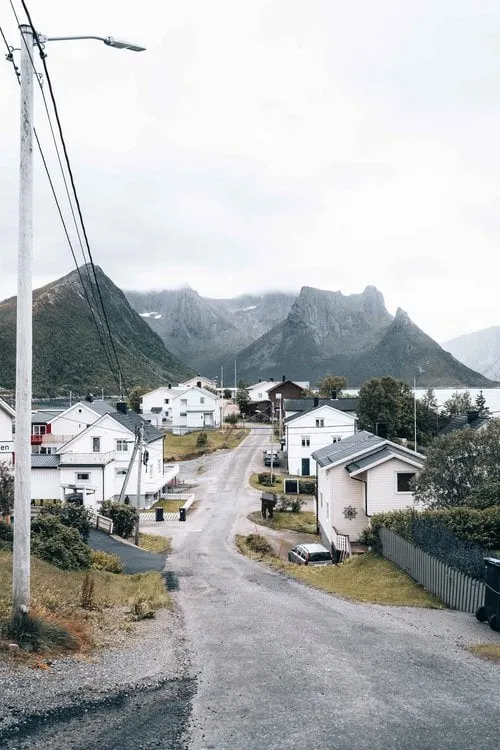
An entire fishing village crammed onto a tiny island in the Øyfjord. Behind it, Senja's mountains plunge straight into the sea.
- Best time
- Morning light · all year
- Country
- Norway
- Latitude
- 69.5422° N
- Longitude
- 17.6625° E
On site
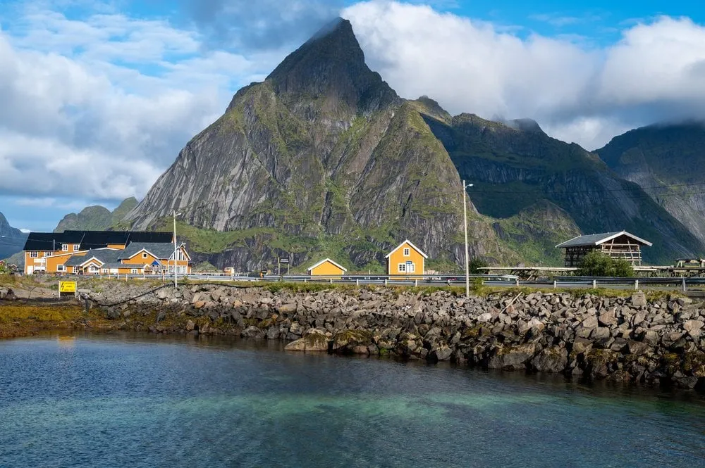
Husøy is a tiny island right next to Senja, and the whole fishing village fits onto it. Our photo shows the village street between white houses, with sharp peaks behind. Across the fjord, opposite Husøy, lies Fjordgård, where the hikes up Segla and Hesten start.
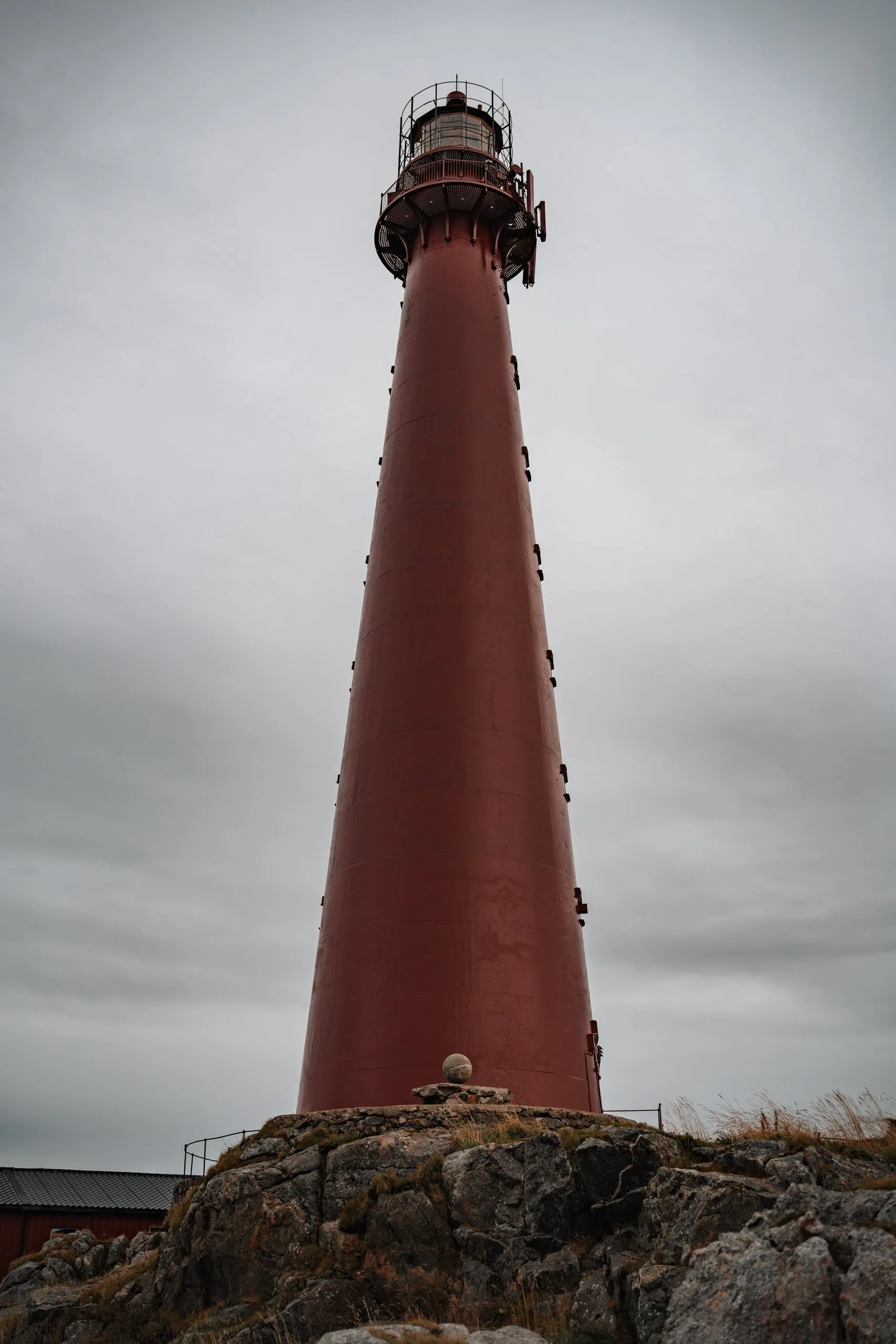
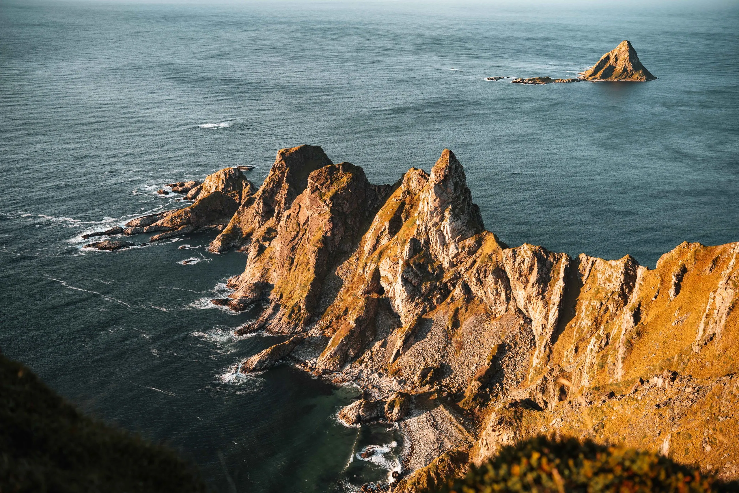
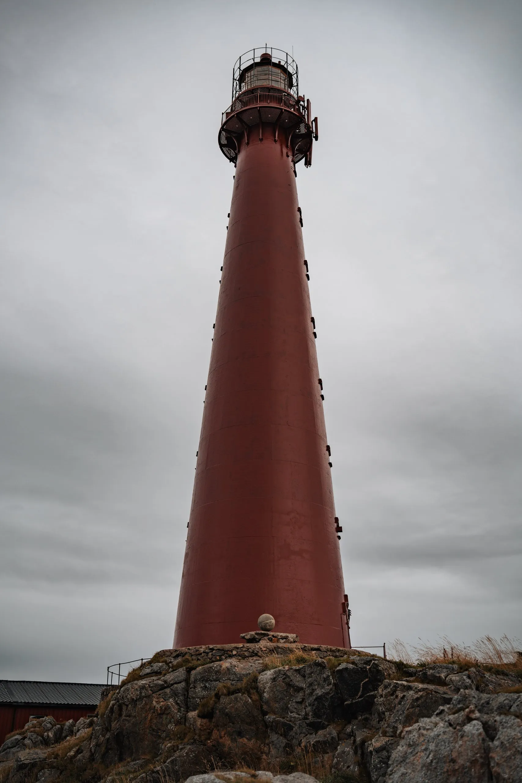
We were here in early September 2022, on a dull day when we did not want to go hiking. We buy groceries for two days at a Joker supermarket and then walk to the lighthouse at the other end of the island. From there we look out over the open sea and the misty fjord. The jagged rock wall above Husøy is in the fog too. Then a drizzle sets in, and we walk briskly back to the car. We did not note how long the walk to the lighthouse takes.
This sends your IP address to the OpenStreetMap Foundation. You can change it any time in the .
Husøy, Senja 69.5422° N 17.6625° E