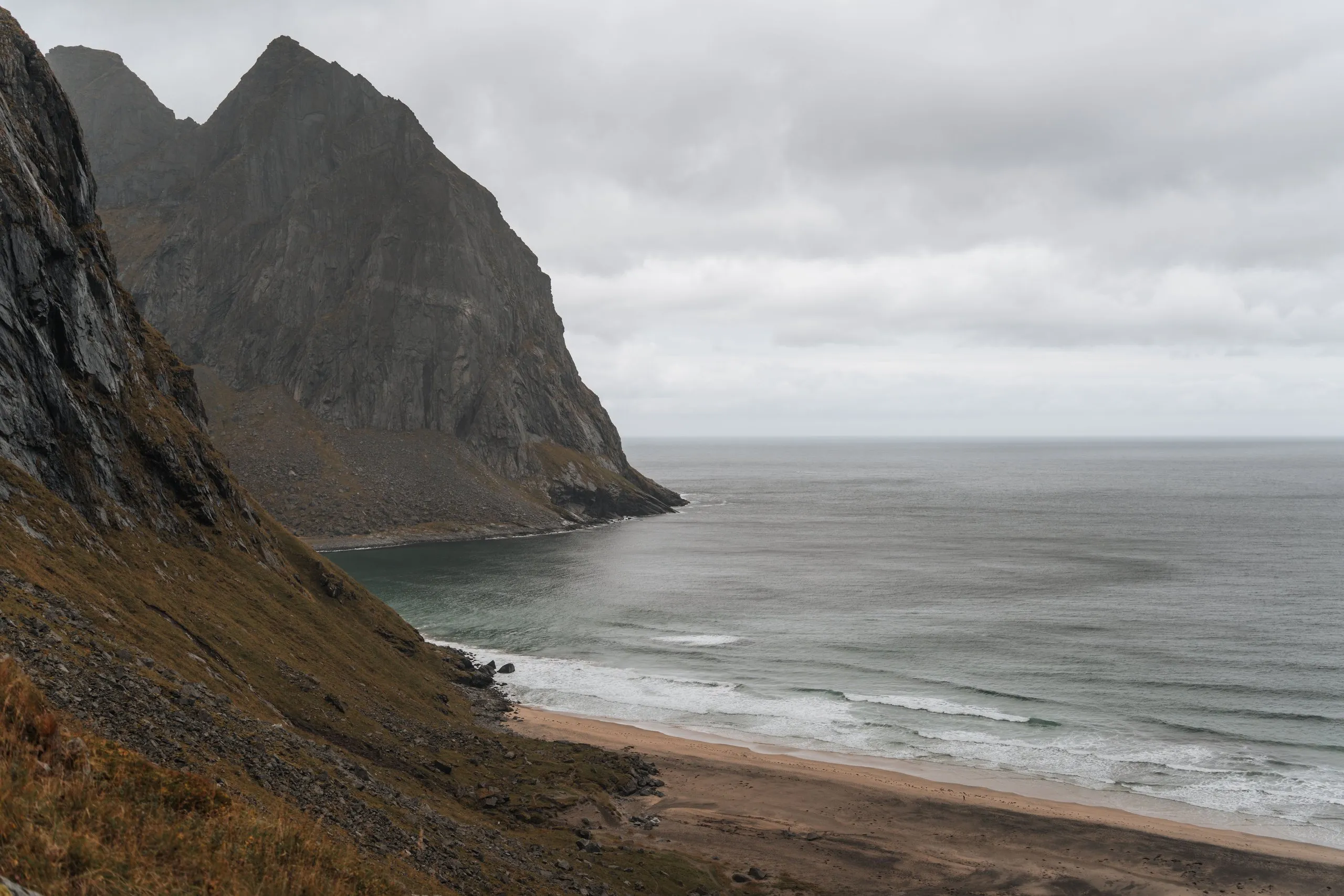
Kvalvika Beach lies between steep rock walls in Lofotodden National Park and can only be reached on foot, there is no road to it. We have been there four times, each time in September. In 2021 we walked the direct path twice, first in strong wind only as far as the view of the bay, two days later in sunshine all the way down to the beach. In 2022 we did the big loop over Ryten, and in 2026 we were up on the ridge once more under a grey sky. The map and track follow the 2022 loop, starting at Innersand car park: Up Ryten, down to the beach and over the Skoren saddle to Torsfjorden.
Over Ryten
The big loop starts in Fredvang. According to ut.no, Innersand car park costs 100 kroner per vehicle and has toilets and drinking water. The large car park at the school in Fredvang is free, from there it is 2 km more on foot. In 2022, after a coffee in Ramberg, we drove to the car park in Fredvang. Which of the two it was, we did not record.
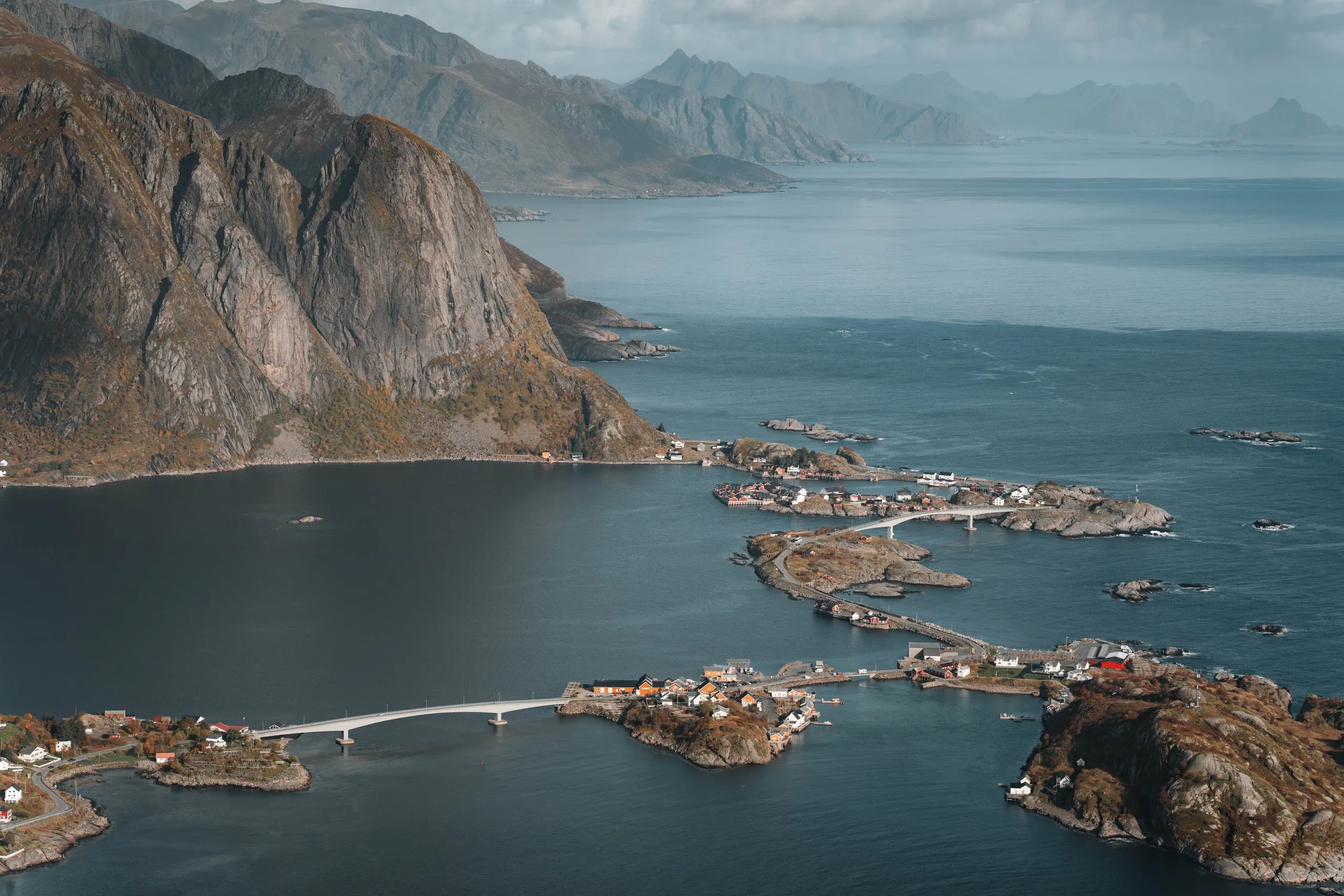
According to ut.no, the path starts in Innersand as a well-made trail with boardwalks and gets steeper from Einangen up to Skjettendikan. From there it continues up to the summit. Some stretches are typical Norwegian trails, steep boulders between which we had to find our own way. Most of the time, though, we followed a normal hiking path. On the way up we looked back at the beach at Fredvang and the mountains around it. After two to three hours we stood on Ryten, 543 metres above sea level.
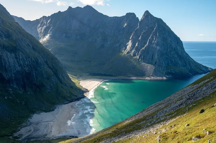
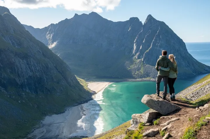
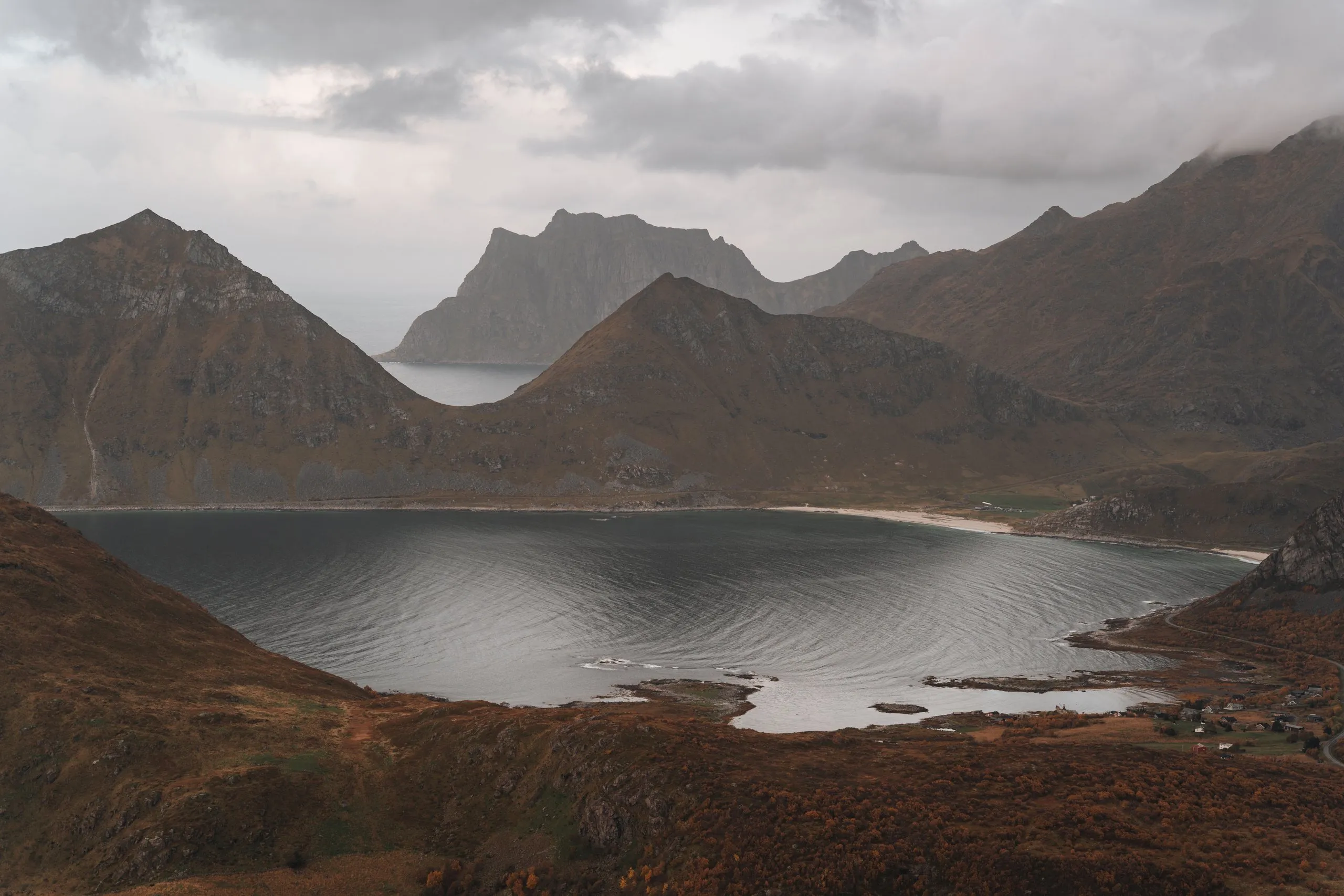
At the top you look straight down on Kvalvika Beach. On the summit there is an overhanging rock, and we ventured out onto it for photos.
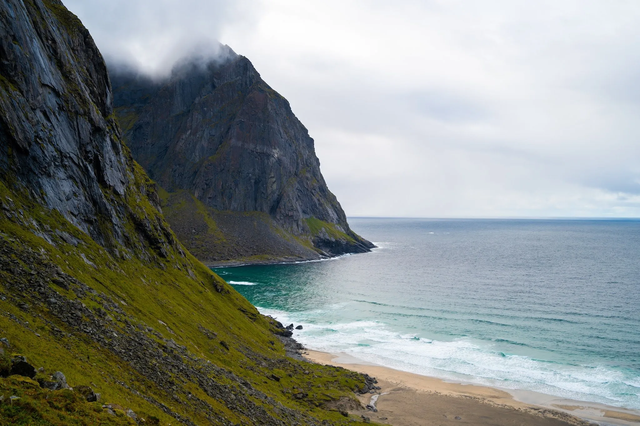
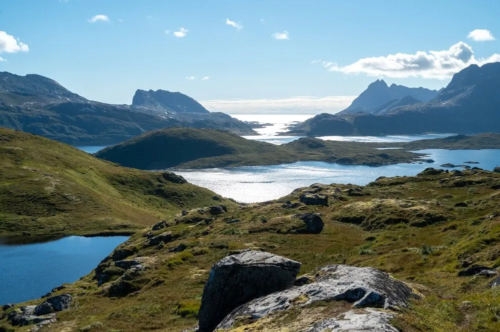
In September 2026 we started in Fredvang again. The path was very muddy, the sky grey, and up on the ridge it was windy. In return autumn had arrived: The rowan berries glowed red, the grass and bushes were orange, in between lay the grey lakes and the sea, and a thin waterfall ran down one mountainside. From the ridge we looked down on the bay and then went back to the car. By the water below stood a small red house among the orange bushes. We did not record a walking time in 2026.
Down to the beach
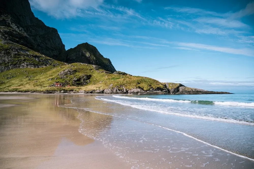
From Ryten the path goes downhill to the beach. According to ut.no, the path to Kvalvika turns west at Skjettendikan and leads down past Forsvatnet. From the summit you first go back a little way. In the track it is 2.4 km from the summit to the sand. In 2022 a white sandy beach with light blue, clear water lay below.
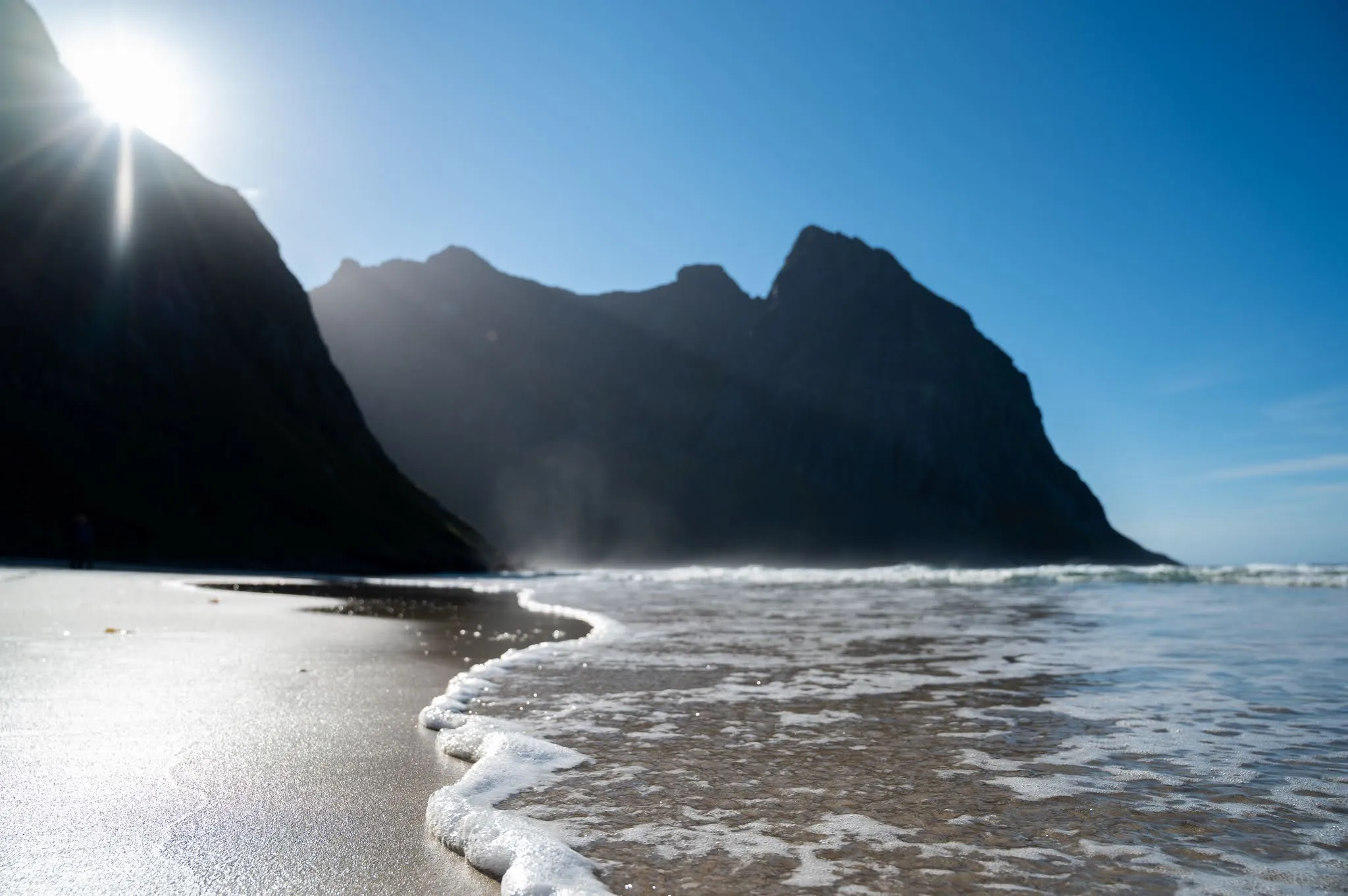
On 11 September 2021 we came from the other side, on the direct path. On the way down to the beach we had to climb a little and cross steep rock slabs with a stream running over them. When we got down, the beach was still in shadow. After a few cooler minutes the sun came out from behind the mountain, and the beach was almost deserted. We had our picnic there, Annina a yoghurt and a cheese sandwich, Nicolas a triple chocolate muffin and the usual cheese sandwich. For us, Kvalvika is the most beautiful beach in the Lofoten.
The direct path over Skoren
From the beach the direct path leads over the Skoren saddle down to Torsfjorden. According to ut.no, the path from Torsfjorden up to Skoren at 180 metres is well made, and from there to the beach it gets steeper and rockier. In the track it is 177 metres of ascent from the beach to Skoren and 2.2 km to the Torsfjord car park. According to ut.no, parking in Torsfjorden and along the access road is currently not allowed, and a shuttle bus runs from there back to Fredvang.
On 9 September 2021 we had abandoned Nubben in the mud and decided on this direct hike instead. Right at the start of the path there was a car park, and we got the last free space, and two days later again, this time next to German campers having breakfast. The path starts out easy, a boardwalk leads over the wet stretches. Then it goes up over loose stones and scree, through mud and over rocks. The first time we only went as far as the view of the bay, had our picnic there in strong wind and went back to the car. We were glad of our high hiking boots, and on the way we saw sea eagles. Two days later the same climb was much more pleasant: The stones were not slippery, there was less mud and no wind, and at times we walked in T-shirts. The way back from the beach was a lot of climbing and hiking.
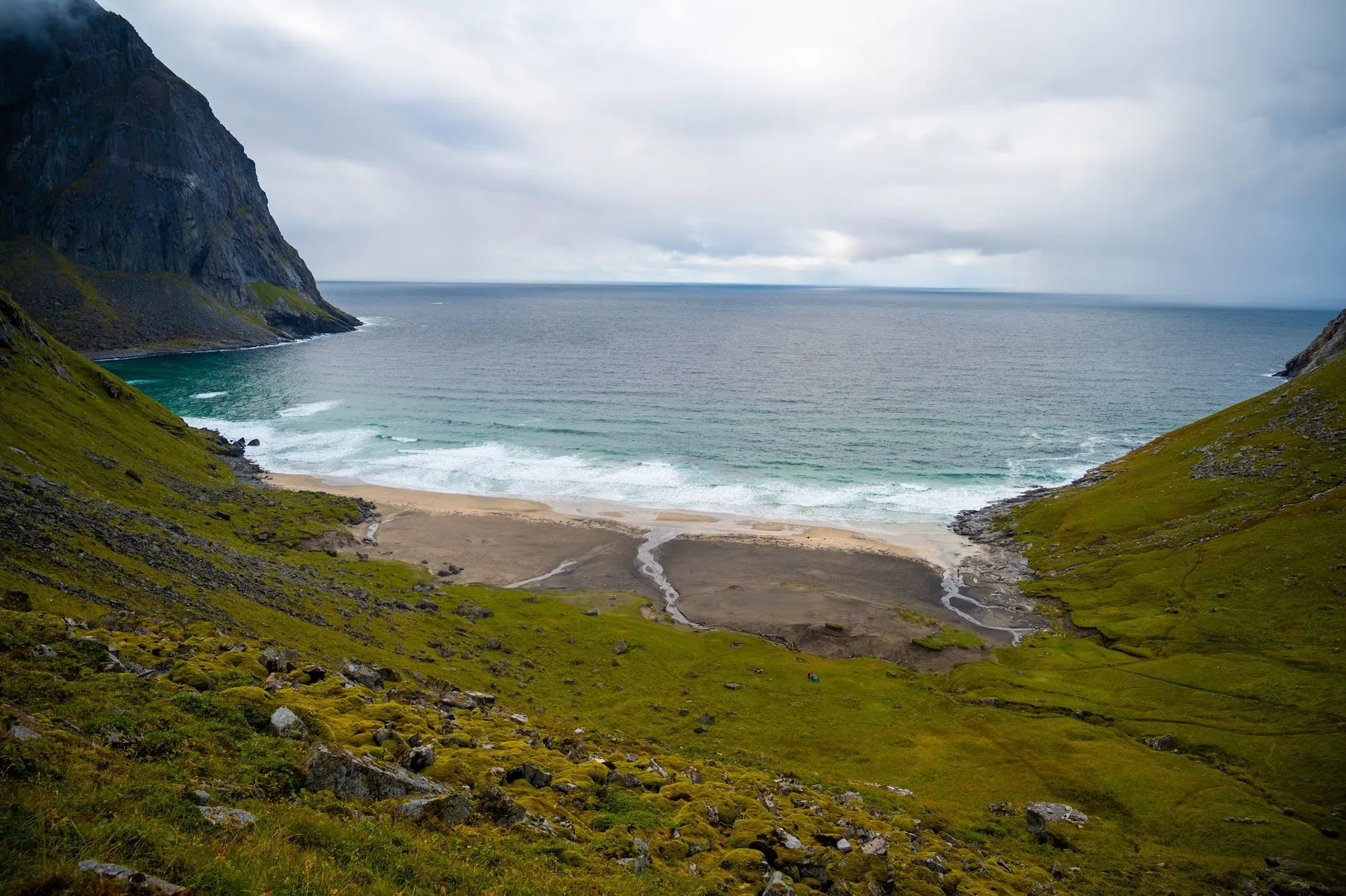
In 2022 we took this path from the beach instead of going back over Ryten. It has only 200 metres of ascent, but many scrambles. After that we still had to walk an hour along the road back to the car park. This stretch is missing from the map and track.