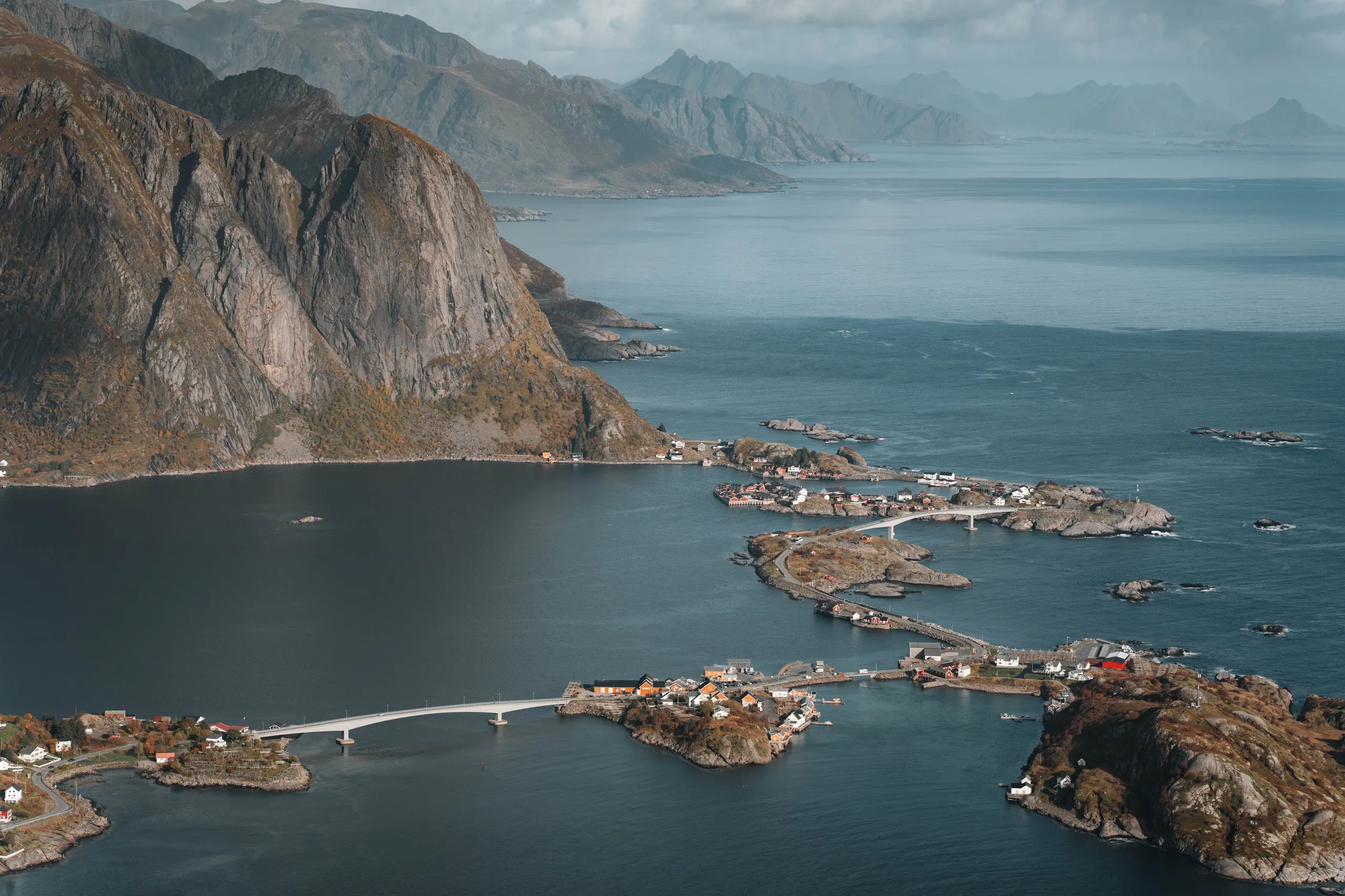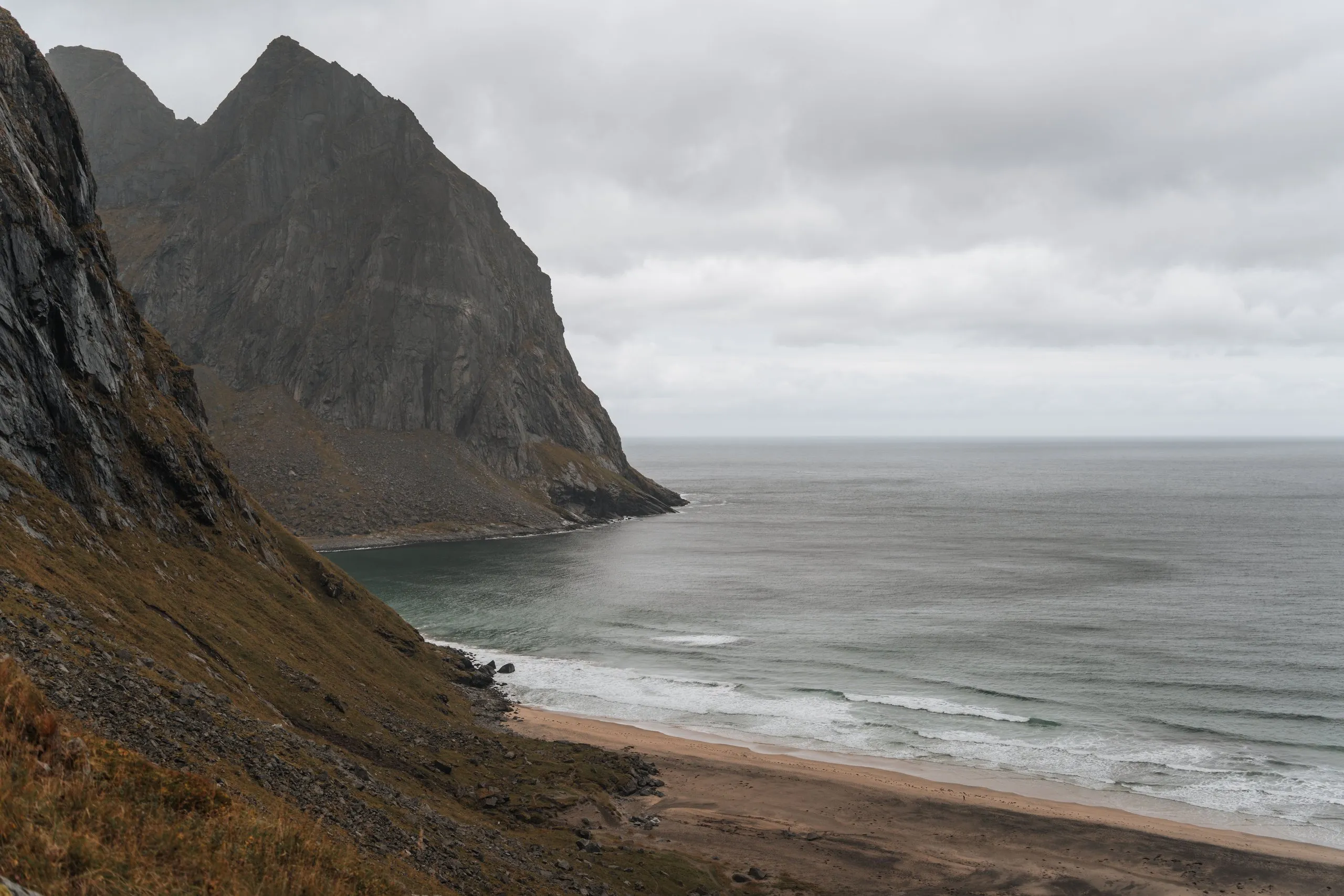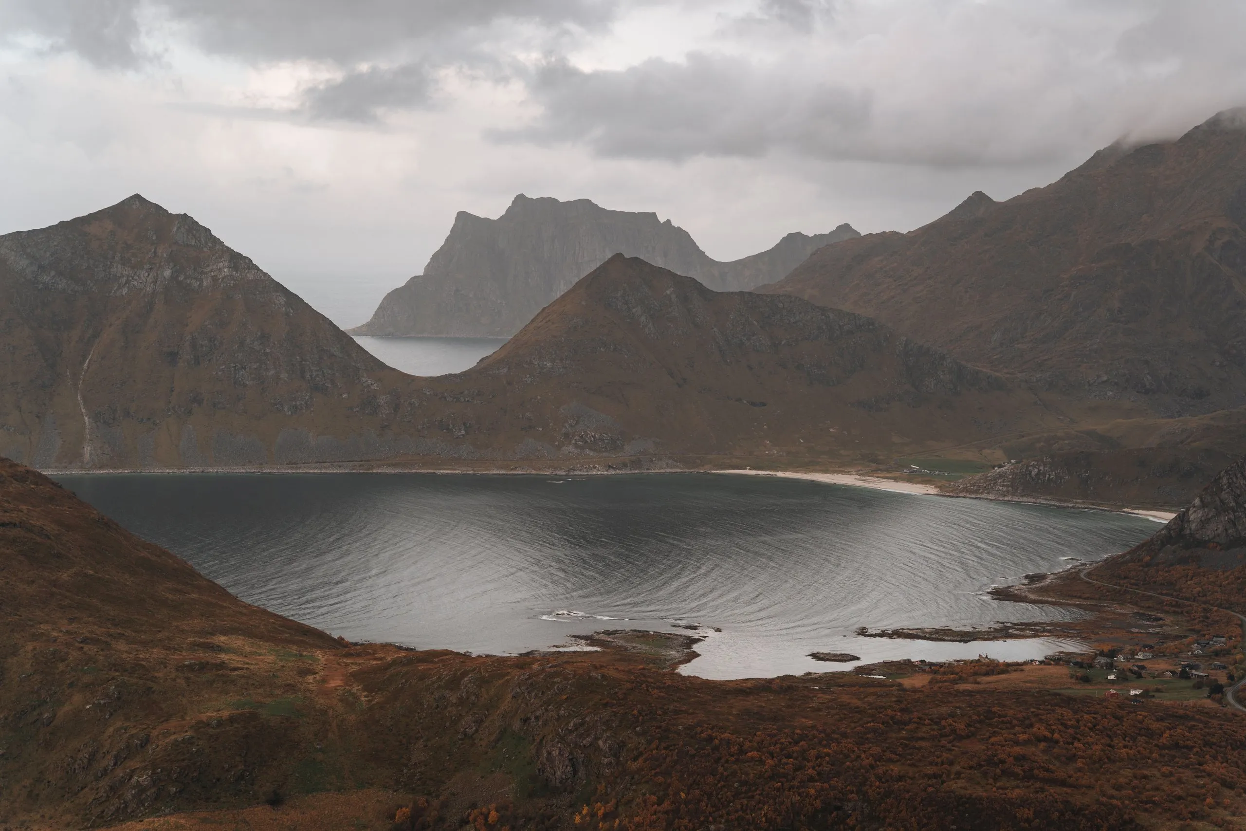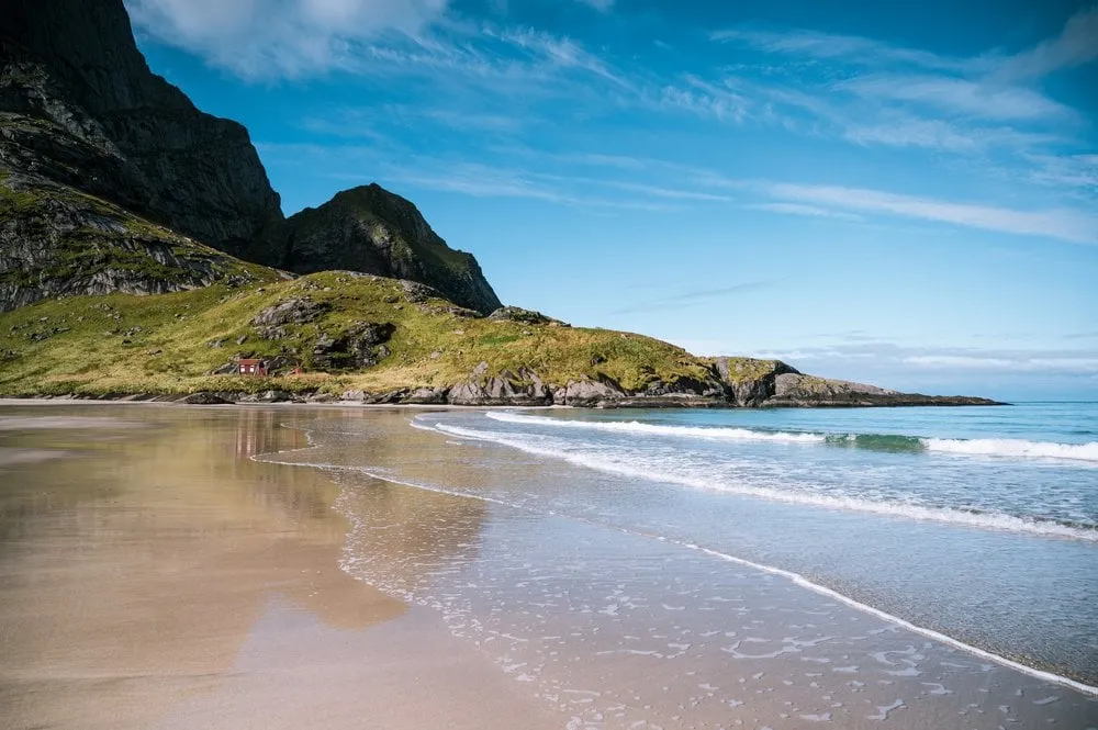
Bunes Beach, Bunessanden in Norwegian, is a remote sandy beach on the north coast of Lofoten, on Moskenesøya. You cannot get there by car. First you take a small boat from Reine to Vindstad, then you walk over a low pass to the beach. We were there in early September 2022, on a day that was finally supposed to be sunny all day. According to Visit Lofoten it is 2.8 km from the pier in Vindstad to the beach. You come back the same way.
Parking and the boat to Vindstad
The car stays in Reine, because no road leads to Vindstad or the beach. We park for free at the short-term car park at the Reine viewpoint, because the parking prices in the centre of Reine are exorbitant.
When we were there, the boat to Vindstad only ran twice a day. According to Visit Lofoten it operates from April to October, with several departures from Reine in summer. According to Visit Lofoten, tickets are sold in the Reis Nordland and Entur apps. If you want to come back the same day, plan the whole hike around the last departure from Vindstad.
We only just caught the boat. It was small and already quite full. After a short trip through the Reinefjord we got off at the second stop in Vindstad.
Through Vindstad to the pass
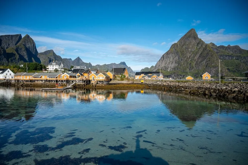
Vindstad has a few small houses, most of them in the typical Scandinavian red. There are no roads and no cars, just a few paths and beaches. From the pier we follow the signposts towards Bunes Beach. The way leads right through the village and then, according to ut.no, along the old way to the head of Bunesfjorden. By our track that is about 1.9 km to a signpost by the fjord. The way stays almost flat and never more than 13 m above the sea.
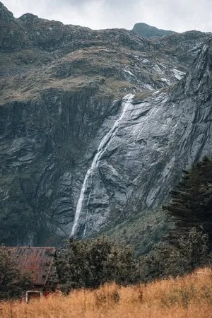
At the signpost the path turns off and climbs for half a kilometre to a viewpoint on the pass, a little over 70 m above the sea. Ut.no calls this crossing Einangen. By Norwegian standards it is a very easy path. Visit Lofoten calls the hike easy and suitable for everyone. You can already see the beach from the pass. It is very long and wide, and according to Visit Lofoten it lies between the mountains Helvetestinden and Storskiva.
On the beach and back
From the pass the path drops for another half kilometre until it reaches the sand. When we arrived, a few people were camping on the beach, otherwise it was deserted. Nicolas went for a swim in the ice-cold sea and then sunbathed on the beach, Annina dipped her feet in the water. Afterwards we walked barefoot along the empty beach. When the sun disappeared we quickly got cold and put our hiking clothes back on.
The way back is the same path. We climbed back up to the pass and ate our wraps there for lunch, with a view of the long beach and the sea. The beach lies in Lofotodden National Park, and according to Visit Lofoten drones are banned there.
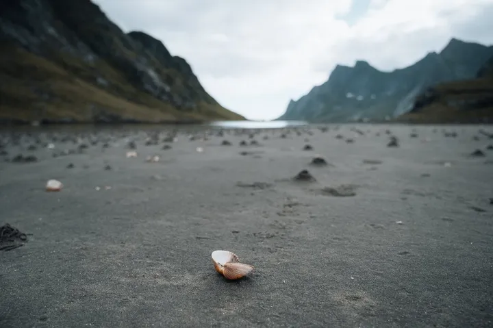
On the way back we passed a huge beach full of shells. We did not note where exactly it is, so it is not on the map. Annina hardly wanted to leave it. But on that day there was only one more boat back to Reine, and we could not miss it.
We did not write down how long the walk there and back took us. Visit Lofoten allows two to four hours for both ways, ut.no two hours. By our track it is 5.8 km in total and almost 150 metres of ascent, because you cross the pass in both directions. Ut.no comes to a little more with 6.4 km and 158 metres of ascent. Back in Reine we could have climbed Reinebringen as well in the fine weather, but after the hike we no longer felt like it.