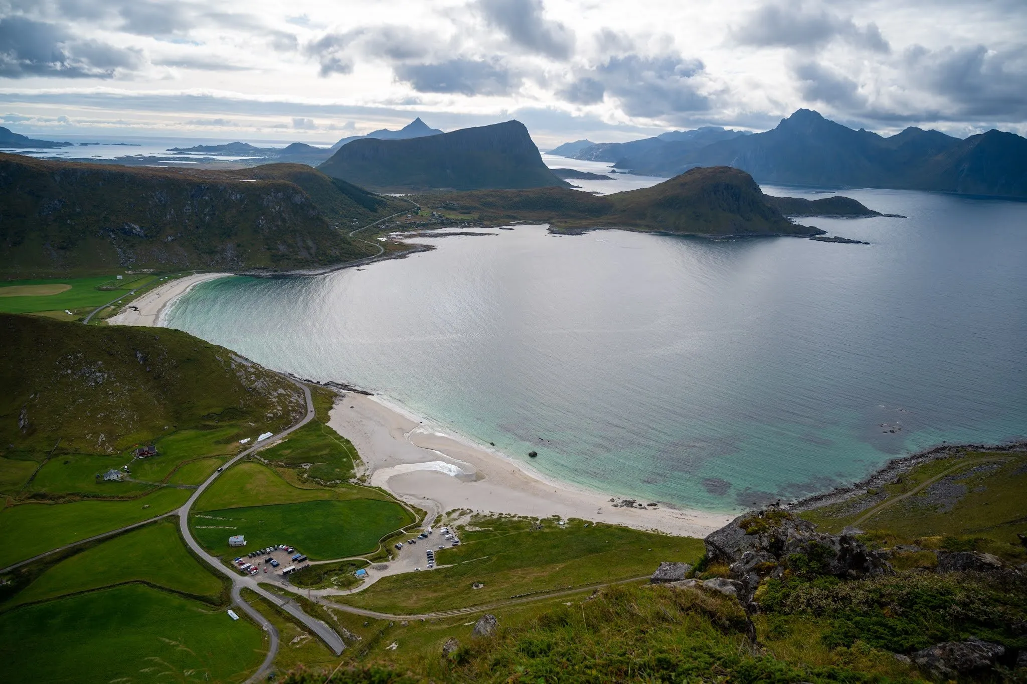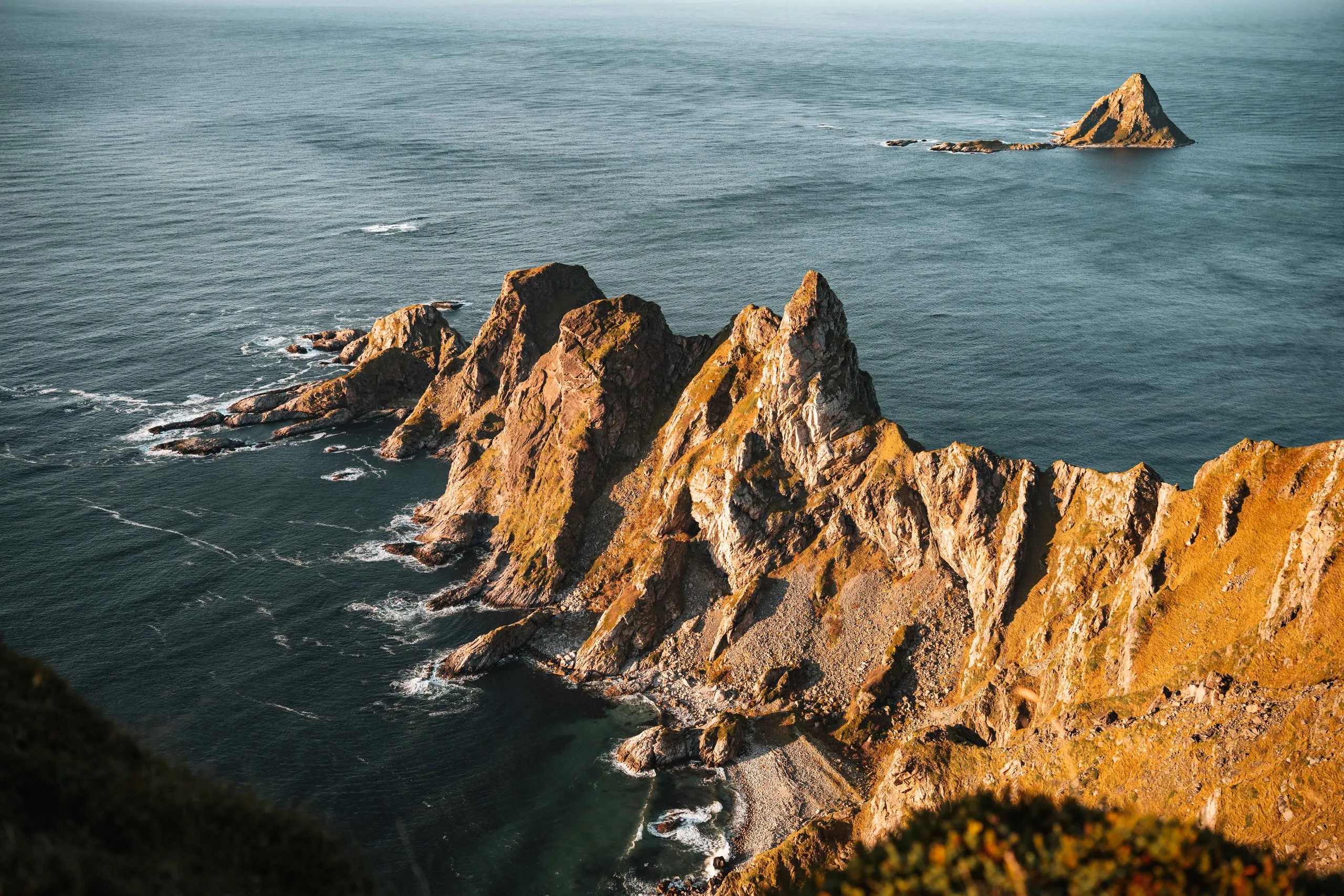
Måtind is a 408 metre peak on Andøya in the Vesterålen and one of the best known hikes there. It stands between the villages of Stave and Bleik above the sea. From the summit you look down on the long beach of Bleik and the triangular bird island of Bleiksøya. We hiked it on an afternoon at the end of September 2026, after a whale safari in Andenes that morning. The weather finally played along properly, so we added the hike.
The usual start is the car park at Bauktuva on the road between Stave and Bleik. According to Outdooractive it is free and has room for up to ten cars, and according to Lovest you can park on both sides of the road. Where exactly we parked we did not note in the post. The path starts right at the car park and goes out and back on the same track.
According to ut.no there are several routes to the summit, and this is the easiest. The marked path first crosses a wet bog. After that the path becomes less clear and climbs up through the scree, which is the steepest part. After about 300 metres of ascent the ground levels off, and the path is fairly easy to see again. You should not keep too far to the right there.
For us it was a typical Norwegian trail. In places we had to scramble and find the way ourselves. After roughly an hour and a half we stood on the summit. The grades differ: Outdooractive calls the hike not demanding and suitable for families, ut.no says «Middels krevende» and also that it suits the whole family, but that entry was posted by a private person. Lovest says there are no difficult places. We grade it medium, because of the scrambling and the route finding.
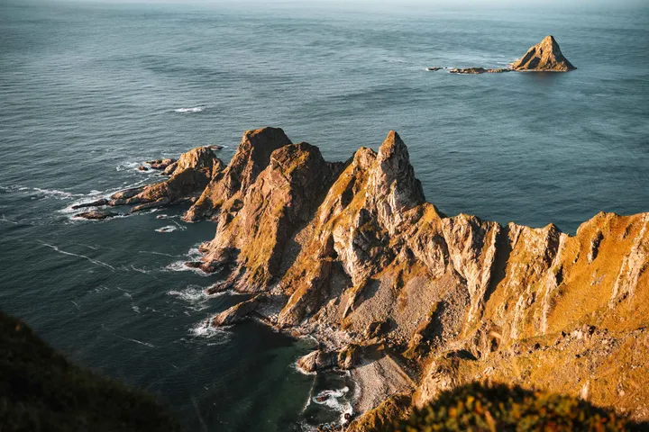
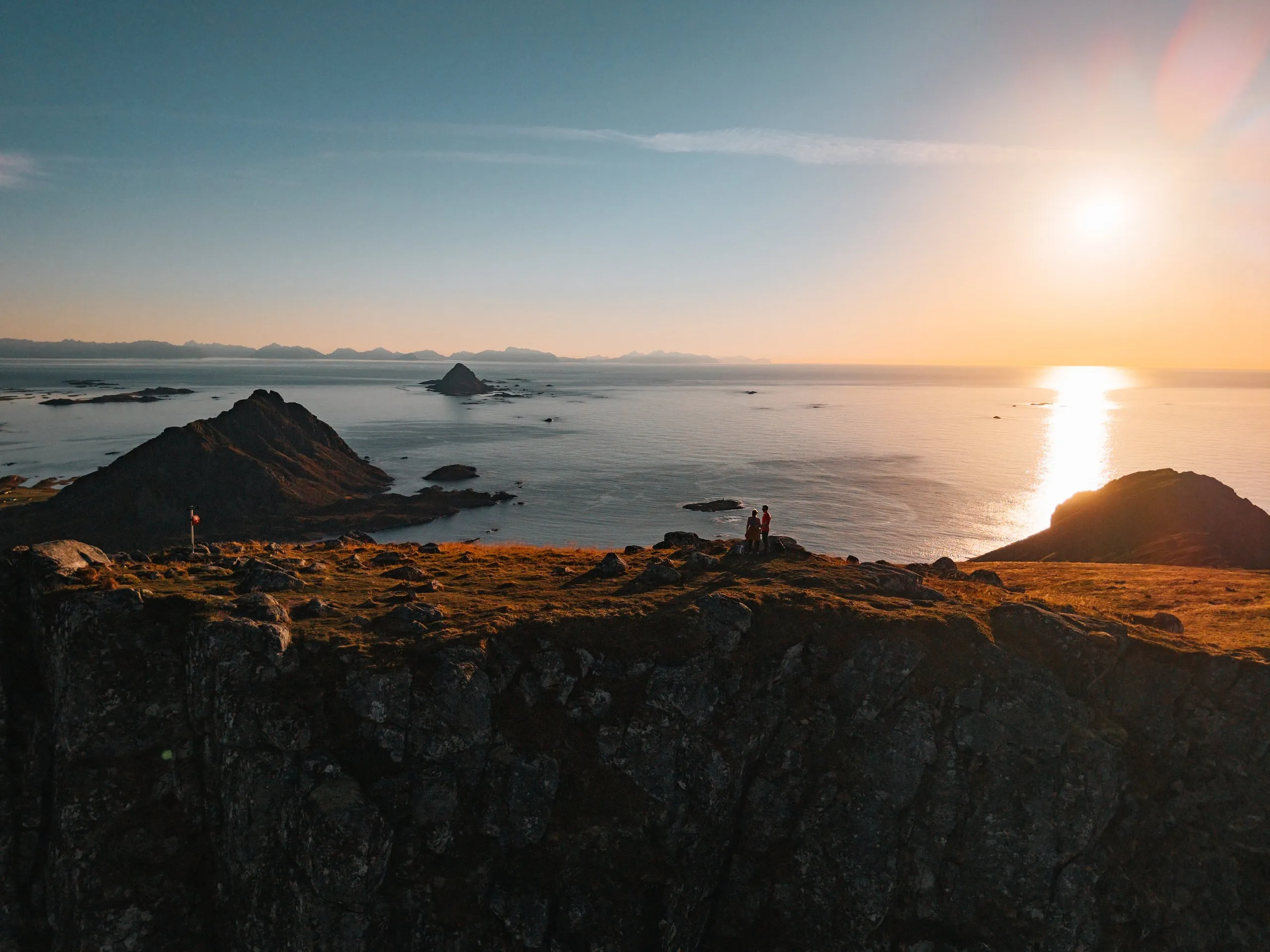
We reached the top just as the sunset light began, and the view was even better than we had hoped. On the left lies the beach of Bleik, on the right an impressive rock formation and behind it Bleiksøya. According to ut.no you also look south to the bay of Høyvika.
At the top we spotted ptarmigan, which we could photograph against the mountain backdrop. Otherwise we were almost alone, with only the odd person passing by now and then.
The way down follows the same path. For us the descent was trickier than the climb, but very beautiful with the moon above the mountains. Nicolas had only packed his sunglasses, which are not much help as the sun goes down, and towards the end it got quite dark. If you go up for the sunset, better take a headlamp. After a short scramble over loose stones we made it down well and arrived at the bottom safely. Afterwards we drove on for about three hours to Bø.
According to ut.no the hike is possible from June to October, and in the summer months sea fog often lies over Andøya. According to Outdooractive it can be cold and windy at the top even in summer.