Skip to content
PIXELS & TRAVELS

Suggestions

PIXELS & TRAVELS
Deutsch / English
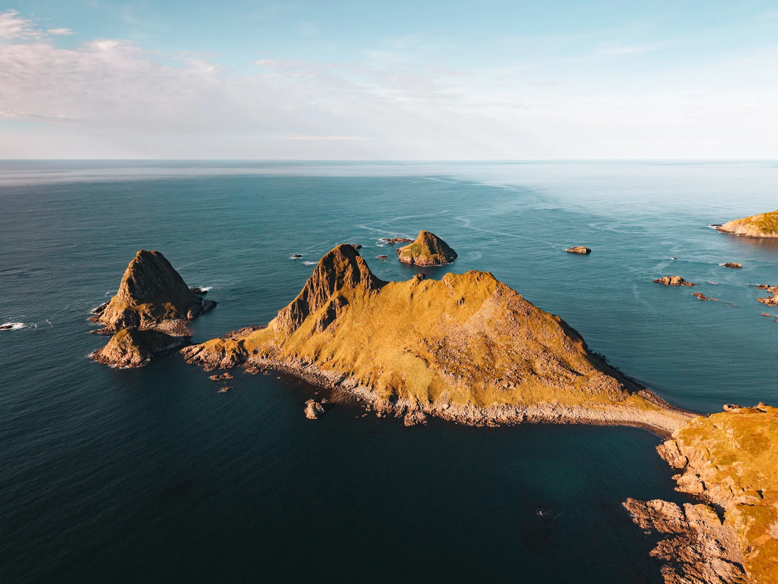
The rocky peninsula of Engenyken and small rocky islets in golden light, from the air above Bufjellet near Sandvika
Langøya, Vesterålen

Bufjellet above Sandvika

From Sandvikhalsen near Bø up the 210-metre Bufjellet: A short, easy path to a view of Sandvika, Engenyken and Spjøten, with map and GPX.

1.8 km · 138 m ascent · There and back

At a glance

Distance
1.8 km There and back the same way
Ascent
138 m Descent 138 m
Highest point
211 m Bufjellet
Start and parking Car park on Sandvikhalsen

Car park up on Sandvikhalsen on road 7656, the start of the shortest route according to Friflyt. We parked at the Sandvika car park, we did not record which one exactly.

68.7590° N · 14.4843° E

Route from OpenStreetMap, heights from the national terrain model. At your own risk, check paths and conditions on site.

Difficulty

Easy

Our grade · Our own grade from our visits

Very easy and short, one continuous path all the way to the summit

Our time
Not recorded
Best time
Our sources give no season, we were up in early October
Route description

The route

Elevation profile of the climb Drag across the profile to read it

Map and path © OpenStreetMap contributors (ODbL). Heights: Kartverket DTM 1 (CC BY 4.0).

Bufjellet is a 210-metre hill in the municipality of Bø on Langøya in Vesterålen. It rises right above the bay of Sandvika and its sandy beach, which according to Friflyt is also called Langsanden. We climbed it on 1 October 2026. It was a sunny day and our first hike that day, afterwards we went on up Skårvågsfjellet. Before that we had driven to the sandy beaches near Hovden.

According to Friflyt you can park in two places, down by the beach at Sandvika or, for the shortest route, at the car park up on Sandvikhalsen. It lies on road 7656, at 70 metres according to Peakbook. OpenStreetMap shows a paragliding launch next to it. We parked at the Sandvika car park, we did not record which of the two it was. The map and the GPX start at the car park on Sandvikhalsen, at the start of the shortest route.

From Sandvikhalsen one continuous path leads all the way to the summit. Friflyt reckons on about 30 minutes on a good path and calls the hike very easy. That is how we found it too, the path up is very easy and short. Between the car park at 70 metres and the summit there are about 140 metres of ascent. We did not record how long we took. The map and the GPX return the same way. According to Friflyt the ground on top is fairly flat, and it is a good place to pitch a tent. The shopkeeper at Joker Bø recommends the hike late in the evening on fine summer days, when you see the midnight sun from the top. The Friflyt team also climbed it around midnight.

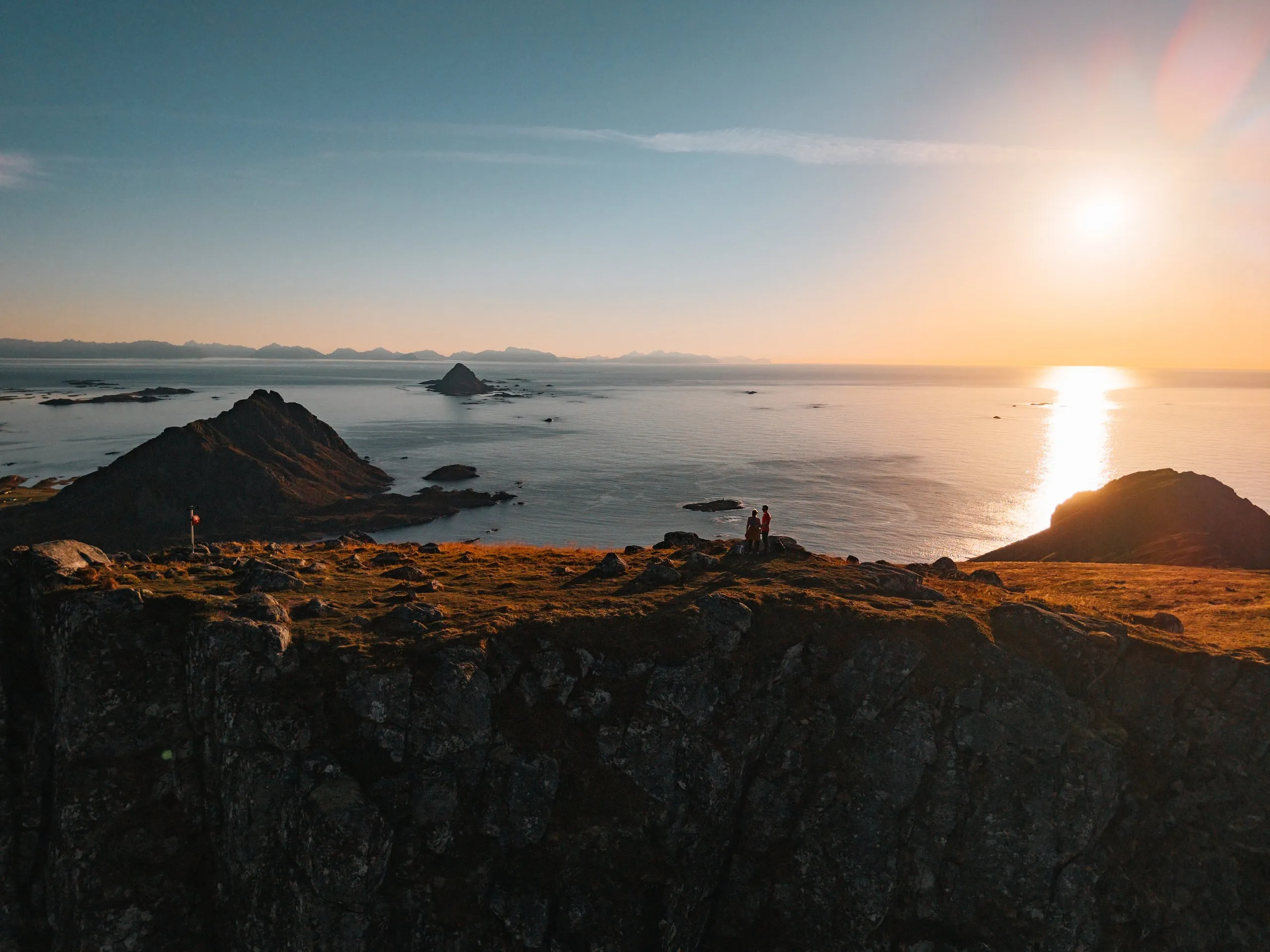
Despite its modest height, Bufjellet rewards us with a wonderful view. Below us lies the bay of Sandvika with its beautiful sandy beach. Off the coast, the rocky peninsula of Engenyken with its two dark rock domes and the pointed island of Spjøten rise from the sea. Nicolas sends up the drone right above the summit and explores the landscape all around from above. The title photo was taken then.
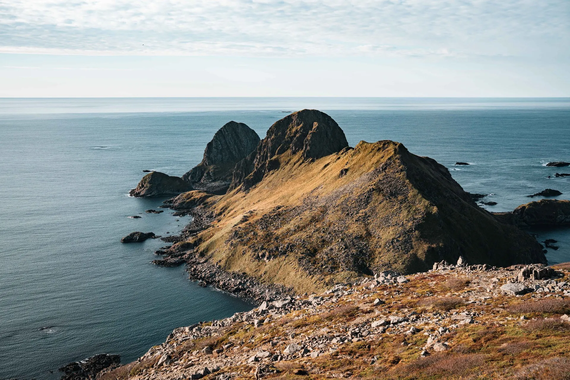
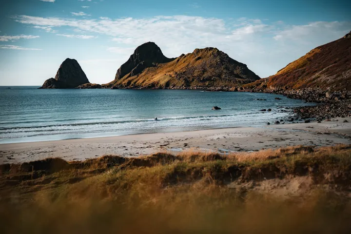
The rocky peninsula of Engenyken with its two dark rock domes juts into the sea, in front the stony top of Bufjellet
Photo stops along the way

Photo stops

The photo spots on this route, where they are along the way and the best time.

Close to the route

Sandvika, Vesterålen

A lonely sandy beach in the bay of Sandvika near Bø. Off the coast the rocky peninsula of Engenyken and the pointed island of Spjøten rise from the sea.

In the travel diary

One visit

The days we spent out here.

  1. 2026 1 October 2026 · 8 min read The rocky peninsula of Engenyken and small rocky islets in golden light, from the air above Bufjellet near Sandvika Sandvika and Skårvågsfjellet
Newsletter

Stay in the loop

New posts and photo spots straight to your inbox.

No spam. Unsubscribe anytime.