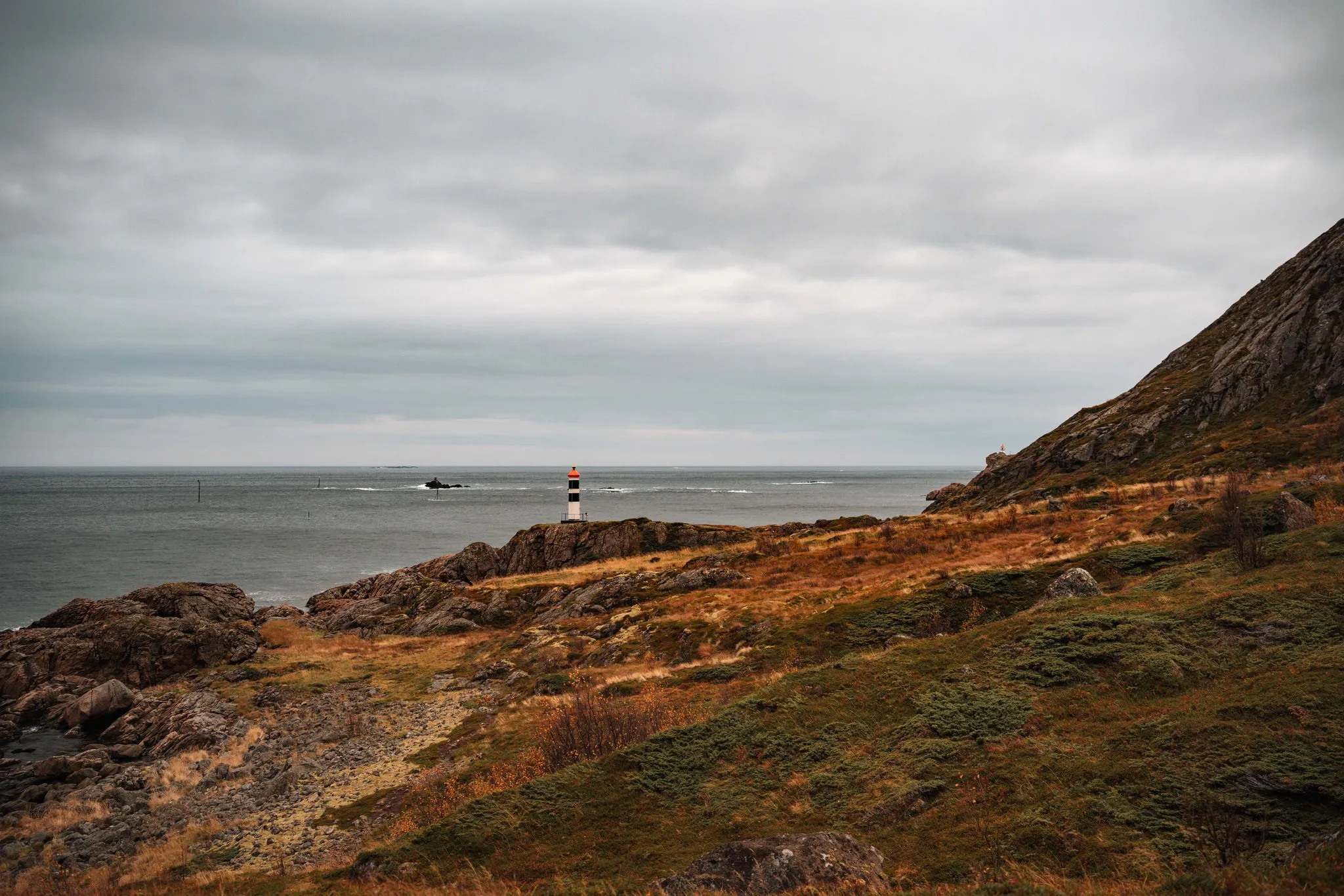
Vetten is a 467-metre mountain in the municipality of Bø on Langøya in Vesterålen. According to a route suggestion on ut.no, it takes its name from a beacon that used to be lit up here. Marked paths lead up from Steine and from Straume. We walked it on 3 October 2026, our last full day in Vesterålen. You go there and back on the same path.
Parking and start
According to the hiking site Lovest, the path starts at a car park on Brennaveien near Steine. You drive along Bøveien to Steine and turn into Brennaveien there, the car park is about 700 m after the junction. First you follow the old church road, then a clear path and forest track. According to the local newspaper Bladet Vesterålen, the path from Brenna leads first to the open hut Losjehytta and then on to Vetten.
For us this first part is very easy. The gravel track climbs evenly and gradually turns into a path through the grass. In October it glows golden yellow there.
Across the plateau to the summit
After Losjehytta, paths lead through the grass across the plateau. According to Lovest, the terrain is easy until the steeper last sections. Right at the top it gets rockier, but there is no climbing anywhere. The summit is grey and rocky, almost a moonscape.
We were there in autumn, and just before the last climb we heard four shots and saw a man with a rifle. Two locals explained to us that birds are being hunted up there. According to Miljødirektoratet, the hunting season for willow and rock ptarmigan opens on 10 September and lasts into the winter. We did not see a warning sign anywhere. So if you go in autumn, expect to meet hunters.
At the top and back down
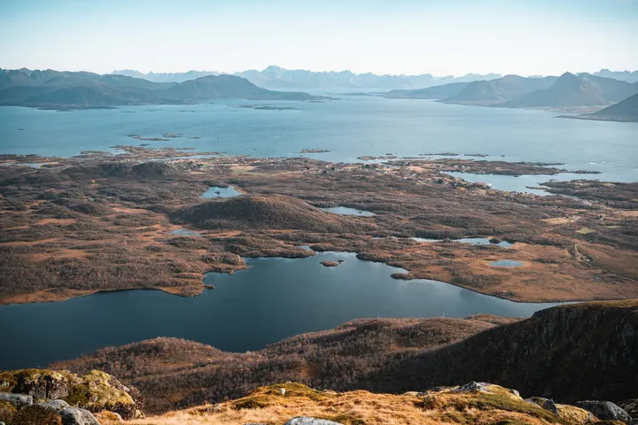
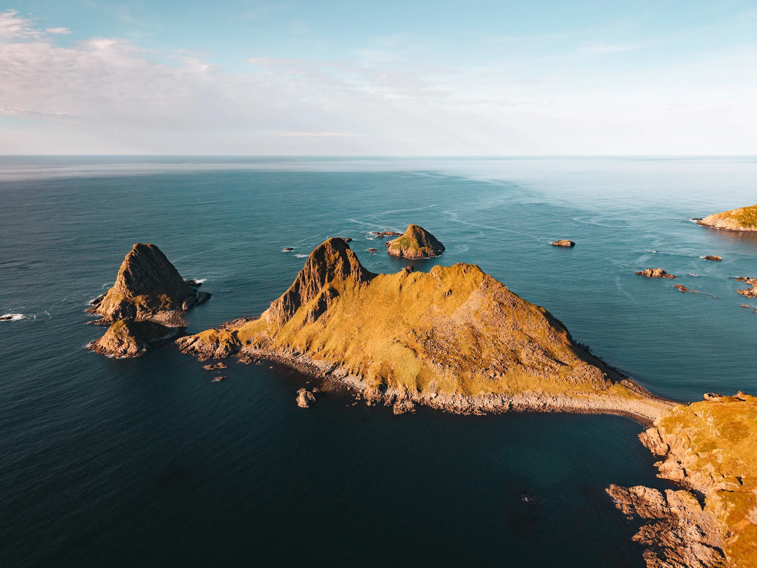
At the top you have a 360-degree view. You look over lakes and bogs to the sea, to the mountains of Lofoten and to the island of Gaukværøya. The signpost reads «Vetten 467 moh.», and from here a path continues for three kilometres to Lynghaugtinden. According to ut.no, this is part of a longer tour from Fjærvoll over Lynghaugtinden and Vetten to Steine.
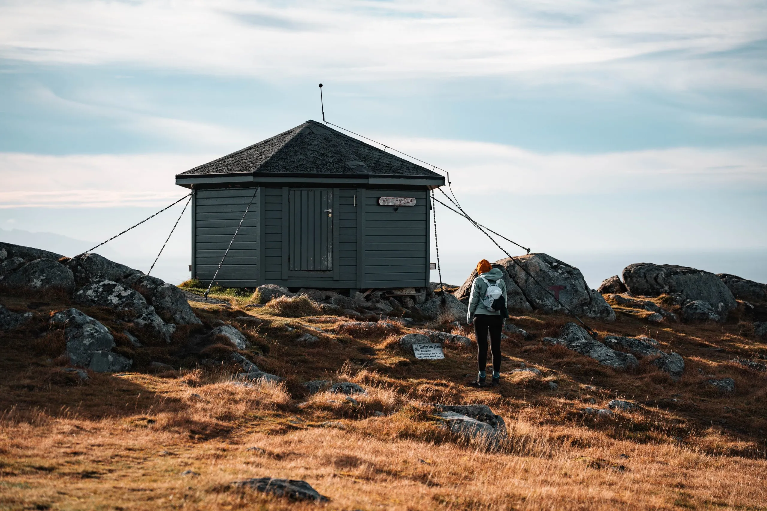
Next to the summit stands the small hut Vettenbua. It is open, and according to ut.no it is especially worth a visit in bad weather. Inside there is a table and a Norwegian flag, and through the window you look out to sea. In front of the hut lies a sign in dialect, translated: “Historic place. Right here, on the afternoon of 14 July 2021, a man managed to win a discussion with his wife.”
The way back is the same path. On our descent the wind picked up, but there was no rain.