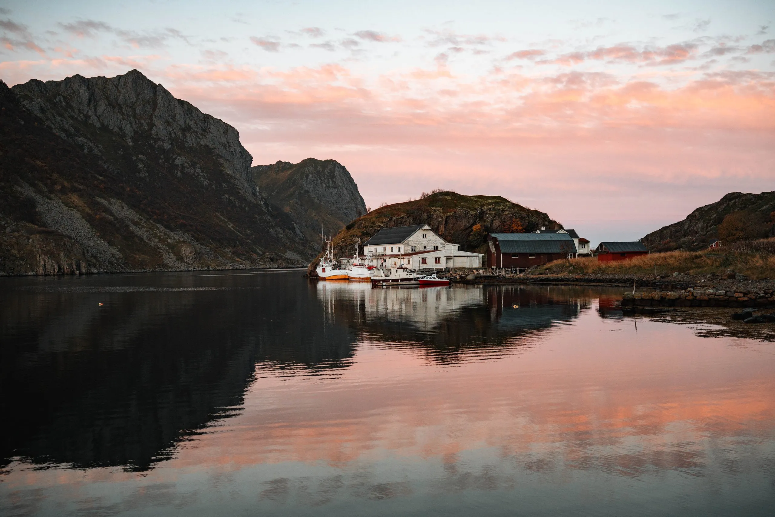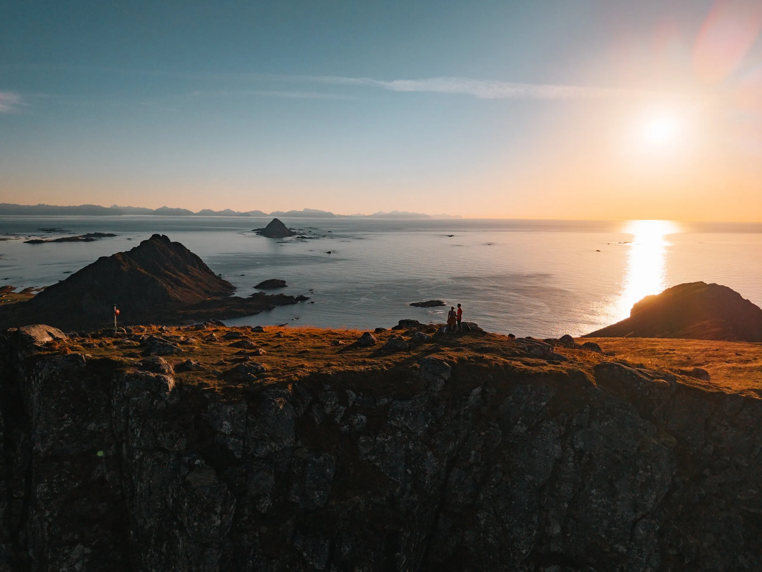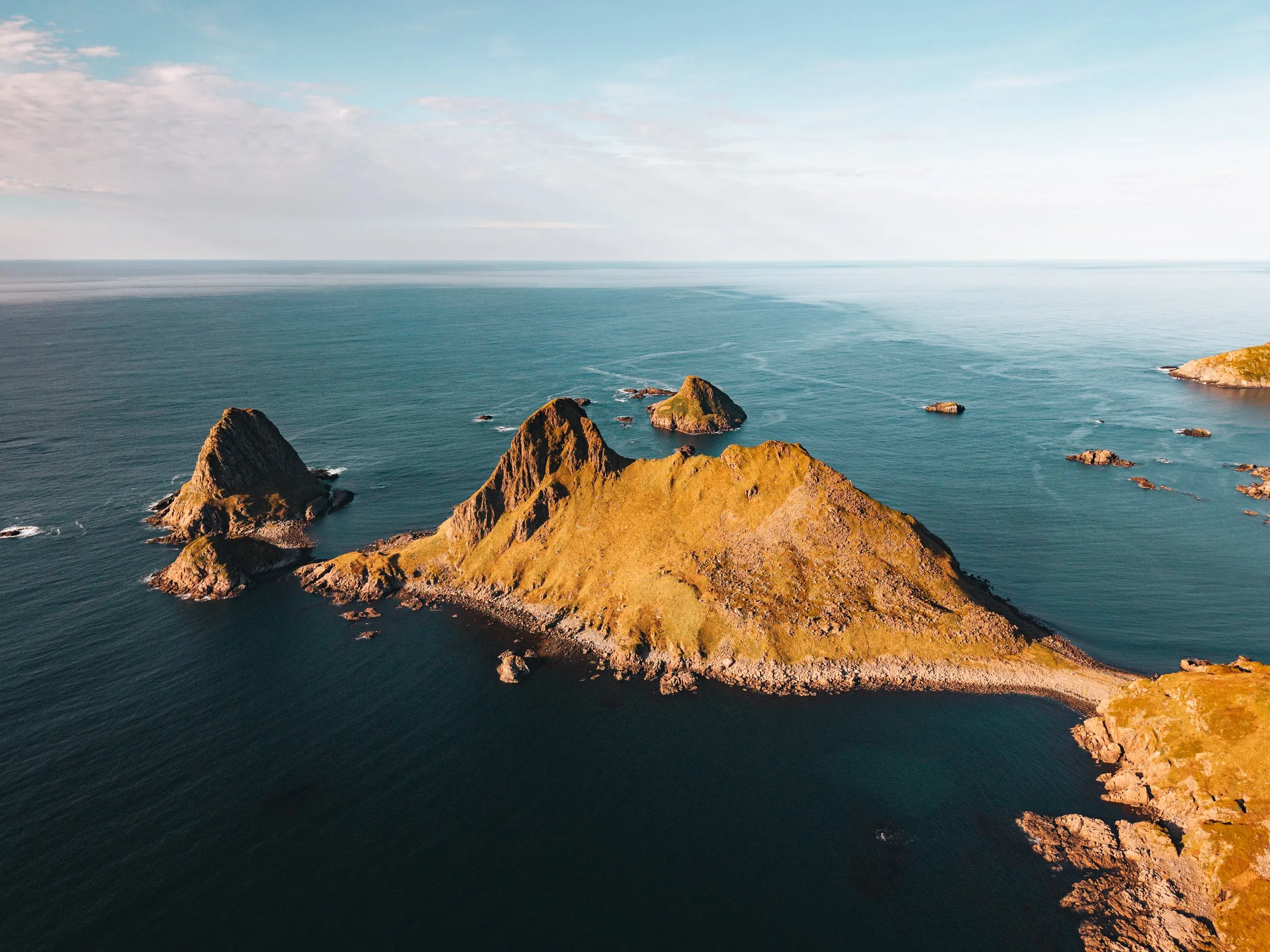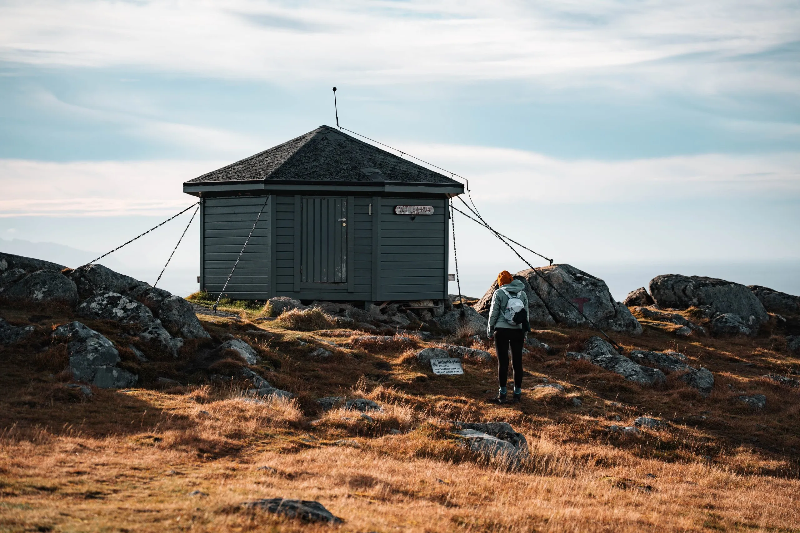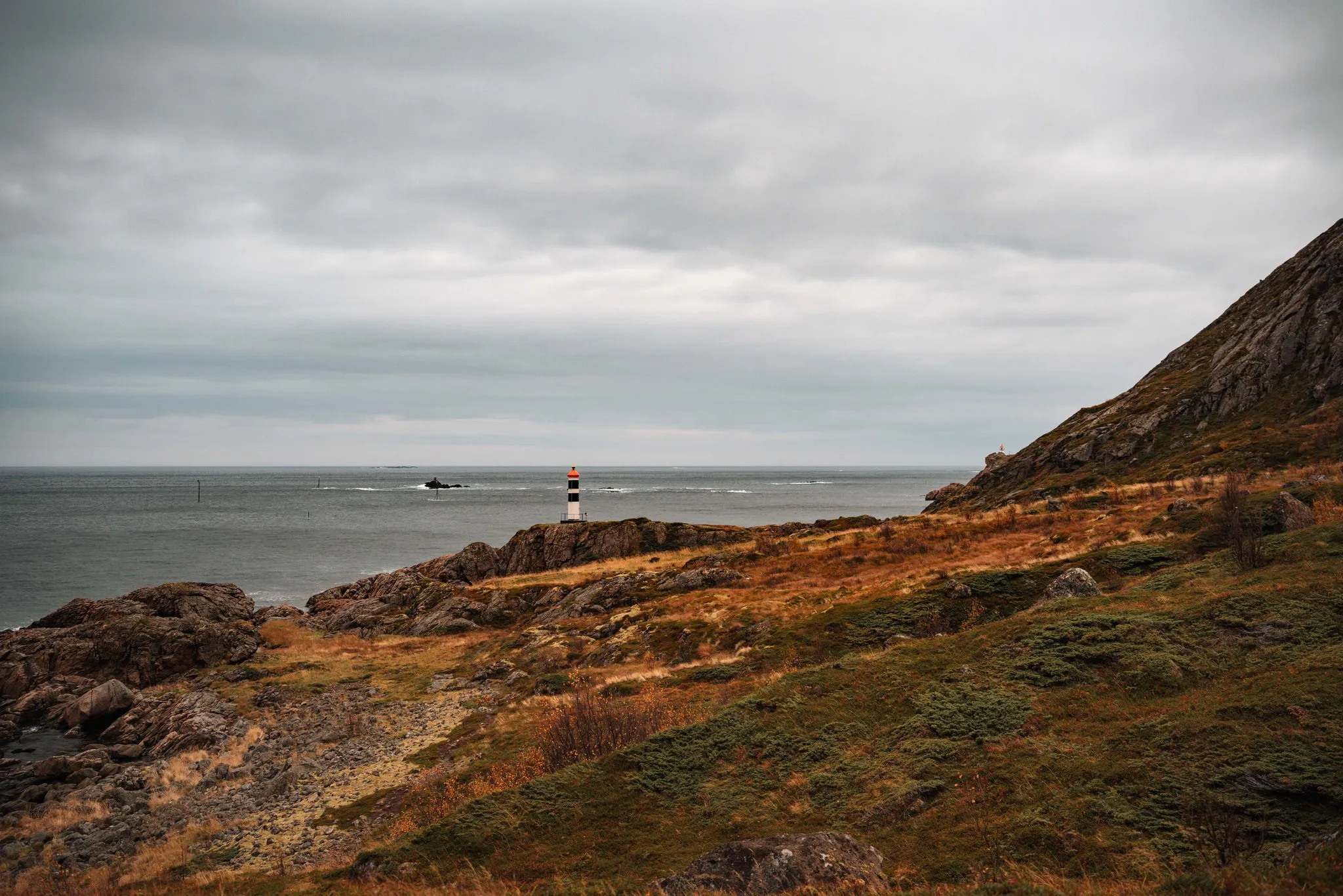
The Kyststien is a coastal path in the municipality of Bø on Langøya in Vesterålen. Under «Vandringer», the site Bø i Vesterålen links an information board by Vesterålen friluftsråd, the municipality and Nordland county. According to this board, the path runs for about 8 km from Straumsjøen along the coast to Spjelkvågen. The terrain is varied but never «difficult», and at a normal pace with breaks it takes five to six hours. The travel blog stikkav.no also gives 8 km, with four hours, and rates the path as easy. On 2 October 2026 we only walked the first part, from Straumsjøen to the lighthouse at Vikan, and turned back there. You then go there and back on the same path.
Parking and the old road to Vikan
The path starts at the end of Handkleppveien in Straumsjøen. There is a small car park for hikers there. According to the information board, Straumsjøen was an old fishing village with a steamship call, a post office and shops. According to OpenStreetMap, the road to Vikan is private for cars from the car park, and about 150 m further on there is a gate. On foot and by bike you may carry on.
The first stretch is a wide gravel track right by the water, below steep rock faces. According to stikkav.no, the old cart road is so good that you could even take a pram. The information board gives 2 km for this stretch to Vikan. On our track it is 1.1 km from the car park to the end of the road at Vikan. Up to the lights it stays below 20 m above the sea.
According to the information board, the road to Vikan was finished in 1934. Vikan was a typical farm on the outer coast, where fishing and farming were combined. In its day it provided a living for four families with about 20 people, and the last resident left in 1970. According to stikkav.no, the houses are used as holiday homes.
From Vikan to the lights
In Vikan, according to the information board, you follow the yellow markers past the houses down to the shore and on to the first light. From Vikan it is no longer a gravel track but a path through grass and over rocks. According to stikkav.no, it goes from there over bog, turf, grassy slopes, rock slabs and stones. For us the path is quite muddy after all the rain. Even so, we can imagine how beautiful the view must be here in sunshine. Along the way we see the small heart-shaped island again that we spotted from Skårvågsfjellet the day before. From down here we see it from a completely different perspective.
According to the light list of the Norwegian Coastal Administration, Kystverket, two small lights stand here, Straumsjøen øvre and Straumsjøen nedre. Together they form a leading line for ships. According to OpenStreetMap, the path passes close to the upper one, and the lower one stands a good 40 m off the path, closer to the sea.
Then the first lighthouse comes into view for us, a small white tower with black bands and a red top on the rocks by the sea. Our title photo shows it. Far beyond it there is only the open sea. Right here the wind picks up strongly, and it starts to drizzle again. We turn back. We did not record how far exactly we walked or how long it took us. Our track ends on the path by the lower light and measures 1.7 km from the car park, so about 3.5 km there and back. A hiking report on the blog Kortreist, which the site Bø i Vesterålen also links, gives 1.9 km to the first light.
On to Spjelkvågen
According to the information board, just after the lights you pass several small potholes and one large one, down in the tidal zone. The largest is about three metres deep, but most of them are filled with seaweed and hard to see. At low tide you can walk along the shore there. As far as Flaskforet the path is easy. According to stikkav.no, Kystverket has put up a steel railing at one point to hold on to up a few slippery rocks. According to the blog, the markings are not quite clear in places, but since you follow the coast you will not get lost. At Flaskforet, according to Kystverket, there is another small light.
From Flaskforet to Åsand it is 3 km on a sheep path according to the information board, first along the upper edge of the shore to Digerneset, then a somewhat awkward stretch through sloping terrain and scree with large boulders. After that the board recommends following the shore to Åsand. From Åsand to Spjelkvågen it is another 3 km on a good path that is easy to follow.
Because the path does not end where it begins, you leave a second car in Spjelkvågen first for the whole way. According to stikkav.no, the tourist information can otherwise help arrange a ride back. Because there is little water along the way, the blog recommends a water bottle in your backpack. The rest of the path to Spjelkvågen will have to wait for us.