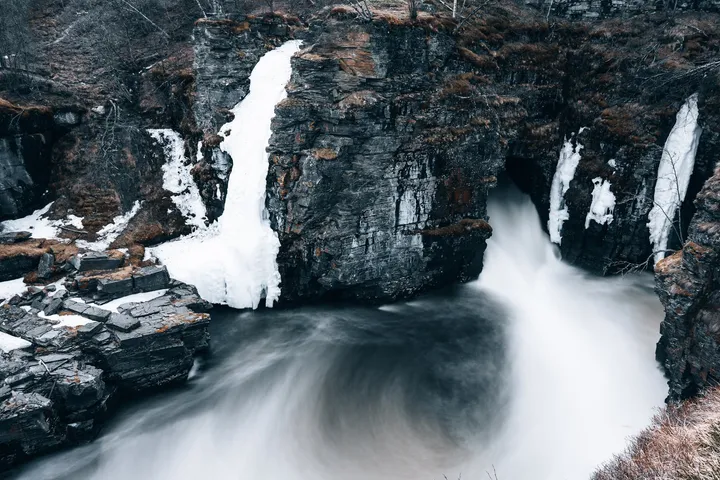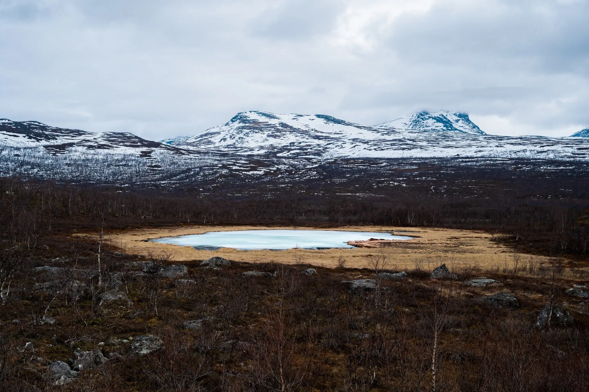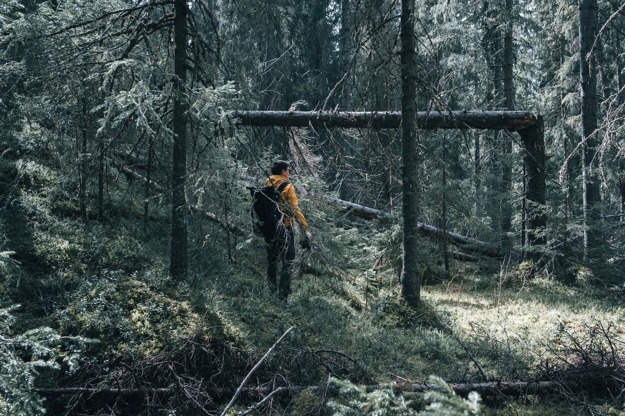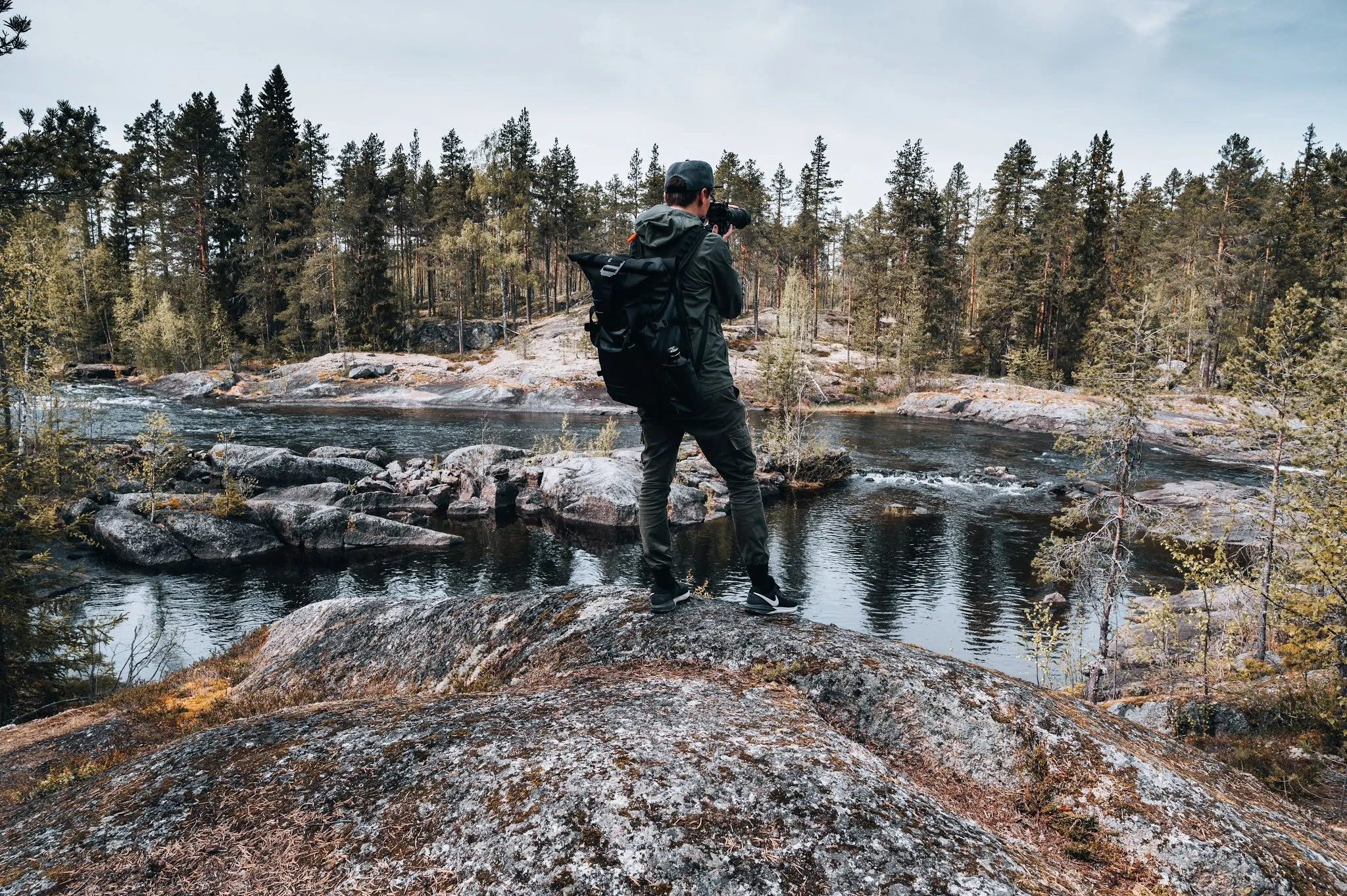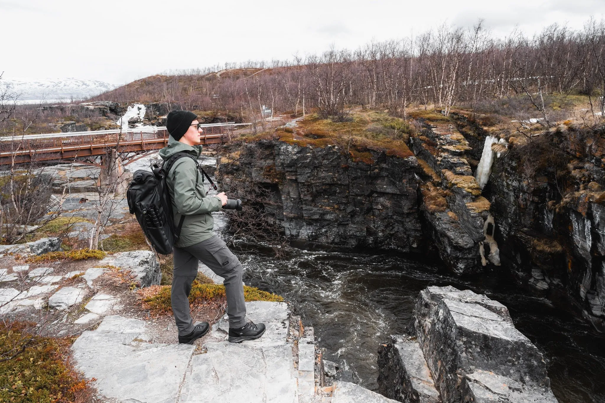
The Abiskojåkka runs through a canyon right by Naturum Abisko. The Kungsleden starts there too. We were there on 21 May 2021 on a day trip from Kiruna. The drive took an hour, it is about 100 km. Abisko National Park was our northernmost destination in Sweden. According to Länsstyrelsen Norrbotten it was founded in 1909 and covers 7700 hectares.
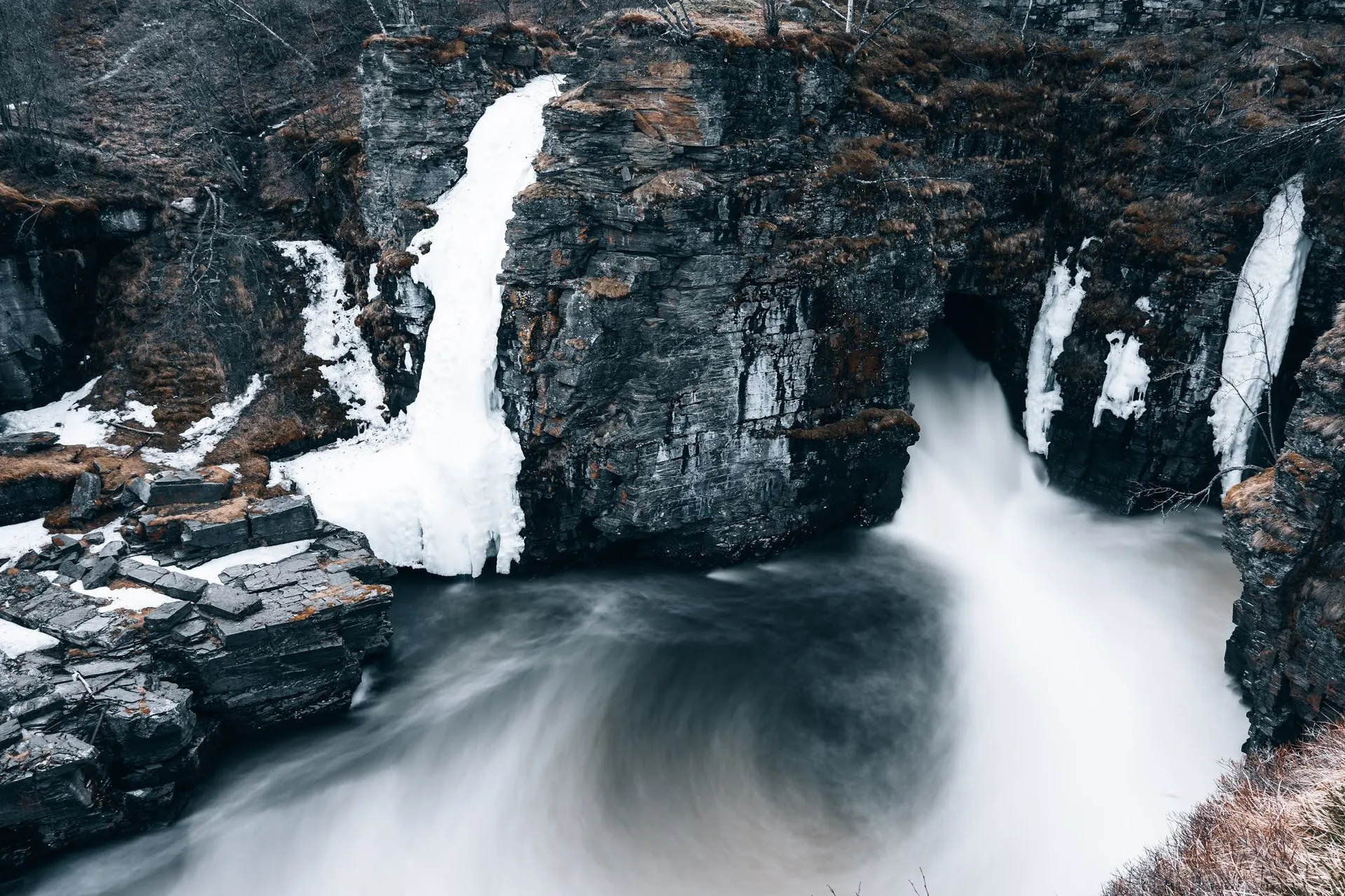
We first head towards «Stranden» and reach a beach made up of the frozen lake and snow instead of sand. Then we walk two of the shorter hikes. One leads us to a raging, roaring waterfall, the other brings us closer to the life of the Sami. The melted snow flows straight into a lake that is still largely frozen, and by the waterfall there are still some frozen spots. Where we parked and how long we were out, we did not record.
The map and track follow the loop through the canyon described by STF Abisko in its brochure, starting at the car park by the Naturum. According to OpenStreetMap it is free of charge, and according to Länsstyrelsen there are car parks on both the south and the north side of the E10. From the car park the path leads to the Kungsleden trailhead and on to a signpost at the canyon. According to the brochure you follow the signs towards Rallarmuseet and Nuolja skihut. The path downstream along the canyon starts behind a large boulder left here by the Ice Age.
According to STF Abisko the canyon walls are made of hard schist and dolomite, and the dipper breeds there. Downstream the Abiskojåkka plunges into a tunnel built during the construction of the Malmbanan railway. A few hundred metres further down a bridge crosses the river. You return on the other side, or carry on downstream for a longer loop. STF Abisko gives the loop as 1.4 km with 20 metres of ascent and descent. It counts as easy, but you should take care near the steep cliffs. The brochure does not say where these 1.4 km start. Our track measures the loop from the signpost at about 0.9 km, and with the approach from the Naturum there and back just under 1.8 km.
Beyond the bridge the green Hälsoslinga of Länsstyrelsen runs along a wide boardwalk with a railing to a wooden deck with a picnic table. According to Länsstyrelsen you can see as far as Torneträsk from the boardwalk. It is 2.1 km return from the Naturum and 1.3 km from the lower accessible car park. There are wheelchair-accessible toilets in the Naturum and at the Turiststation. Our track follows this boardwalk upstream to the canyon viewpoint and takes a short path back to the signpost. From there it returns to the car park the same way it came.
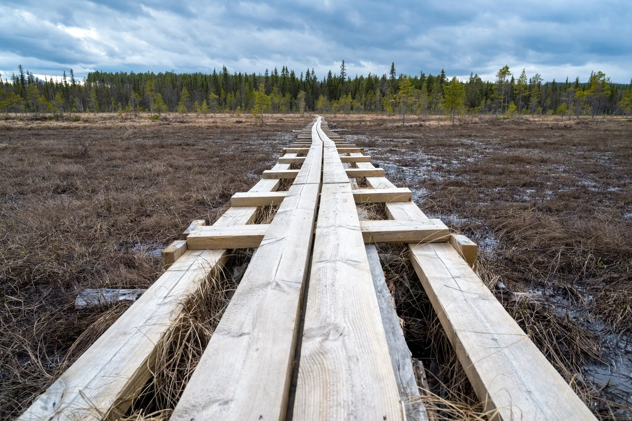
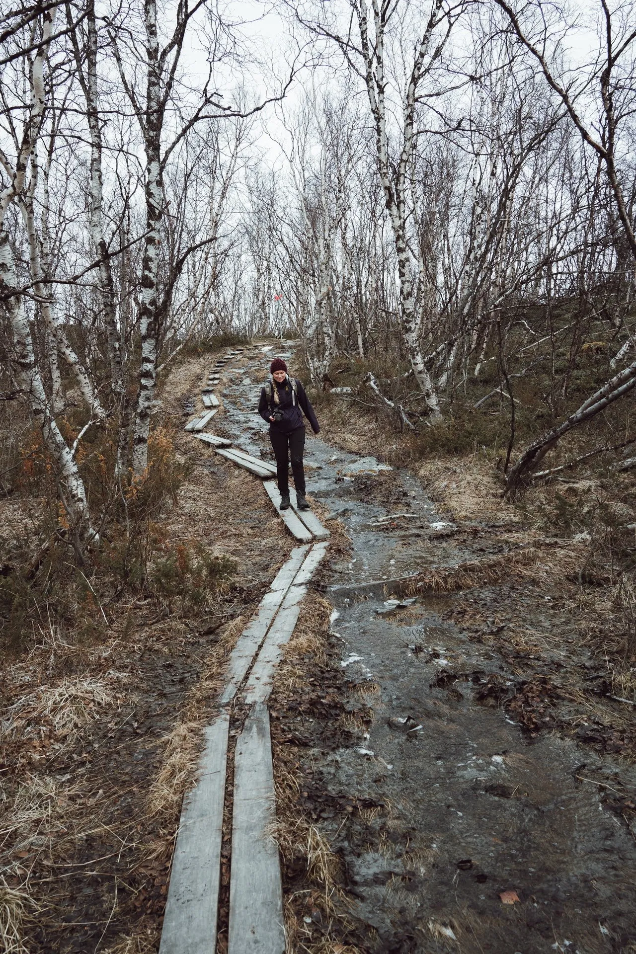
We also explore the start of the Kungsleden. If you walk all of it, it is 440 km long. According to Länsstyrelsen it starts within walking distance of the Naturum and follows the Abiskojåkka. According to OpenStreetMap the first stage to Abiskojaure is 15 km long. At the end of May the trail consists of many muddy and snow-covered stretches, and a boardwalk of wooden planks leads through the birch forest. We are almost the only hikers and only very rarely meet other people. How far we followed the Kungsleden, we did not record. This stretch is missing from the map and track.
Which path we took to learn about the life of the Sami, we did not record either, and it is not in the track. The STF Abisko brochure lists the Samevistet as a short tour, 1.2 km return from the large car park behind the station, following the sign «Paddus naturstig». After 300 m there is a reconstruction of an autumn and spring camp with storehouses, kåtor and drying racks. According to the brochure the path is very easy.