Near Brattfors in Strömsund municipality the Vängelälven flows through a remote forest. On the steep rock face of the Brattforsberget above the river an old rock painting has survived, reached by a short path and a boardwalk. According to Wikipedia the Vängelälven is a bifurcation, the second largest in Sweden after the Tärendöälven: It links the Faxälven and the Fjällsjöälven and is a good two Swedish miles long. We were there on 31 May 2021, on a free afternoon during our days in Backe. The walk is very short. The map and track show the way from the car park at the bridge to the platform in front of the painting and back, according to the track about 240 m each way, just under 500 m there and back and almost flat.
Over the boardwalk to the rock painting
From our accommodation near Backe the roads got narrower and narrower, until only a gravel road was left. According to Strömsunds kommun you follow the sign «Brattforsen» on road 345 at the village of Täxan and then drive about one Swedish mile, so roughly 10 km, on gravel road. According to backe.nu Täxan lies 25 km east of Strömsund on the 345 towards Ramsele. According to the municipality and the Länsstyrelsen Jämtland the sign is white with a St John’s cross.
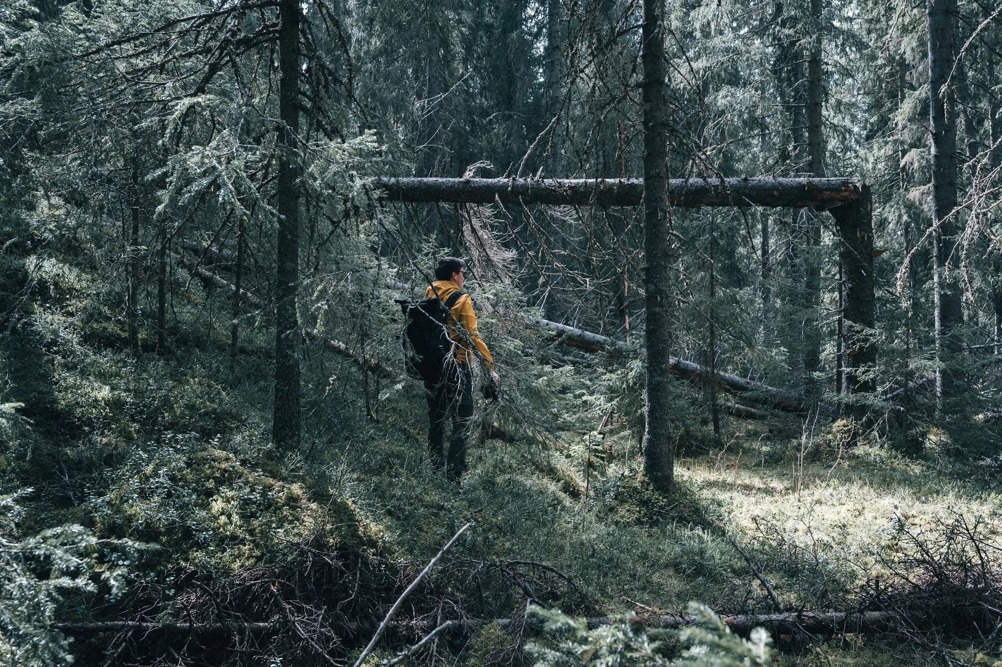
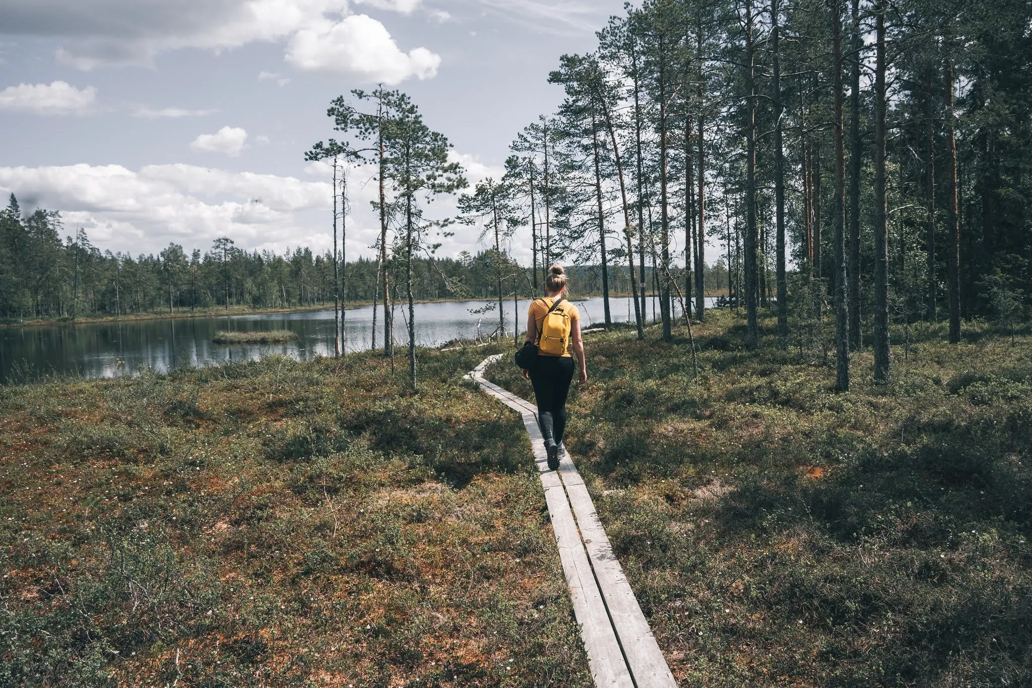
Brattfors lies in a forest in the middle of nowhere, and yet we found signposts, information boards and several marked hiking trails there. We chose a trail and explored the area. Which one exactly, we did not record. In OpenStreetMap there is a car park on the west bank right by the road bridge over the Vängelälven, next to it a shelter and on the east bank a pit toilet. From the east end of the bridge, according to OpenStreetMap, a path leads north and then a boardwalk to a platform in front of the rock face. That is what the map and track show.
After a wooden boardwalk we stood at the rock face with the painting. Our post dates it to about 6000 to 2000 BC and tells how hunters, after their hunt, painted a moose on the wall from a boat using iron-rich earth. The moose can still be seen today.
The sources describe the painting a little differently. According to Strömsunds kommun it shows two moose, and according to backe.nu they are painted in red ochre on the steep rock face. Since a platform was built at the height of the figures, the painting is, according to the municipality, easily accessible for all visitors. According to backe.nu there are two further figures besides the two moose, which may depict people, birds or boats, and a few red lines. Nämforsens Hällristningsmuseum lists the site as Brattforsberget (Raä 191). An article by Viklund in Rock Art Scandinavia says that the painting at Brattforsen was for a long time the only one known in the area. The article now counts 14 rock paintings there.
Along the river by the rapids
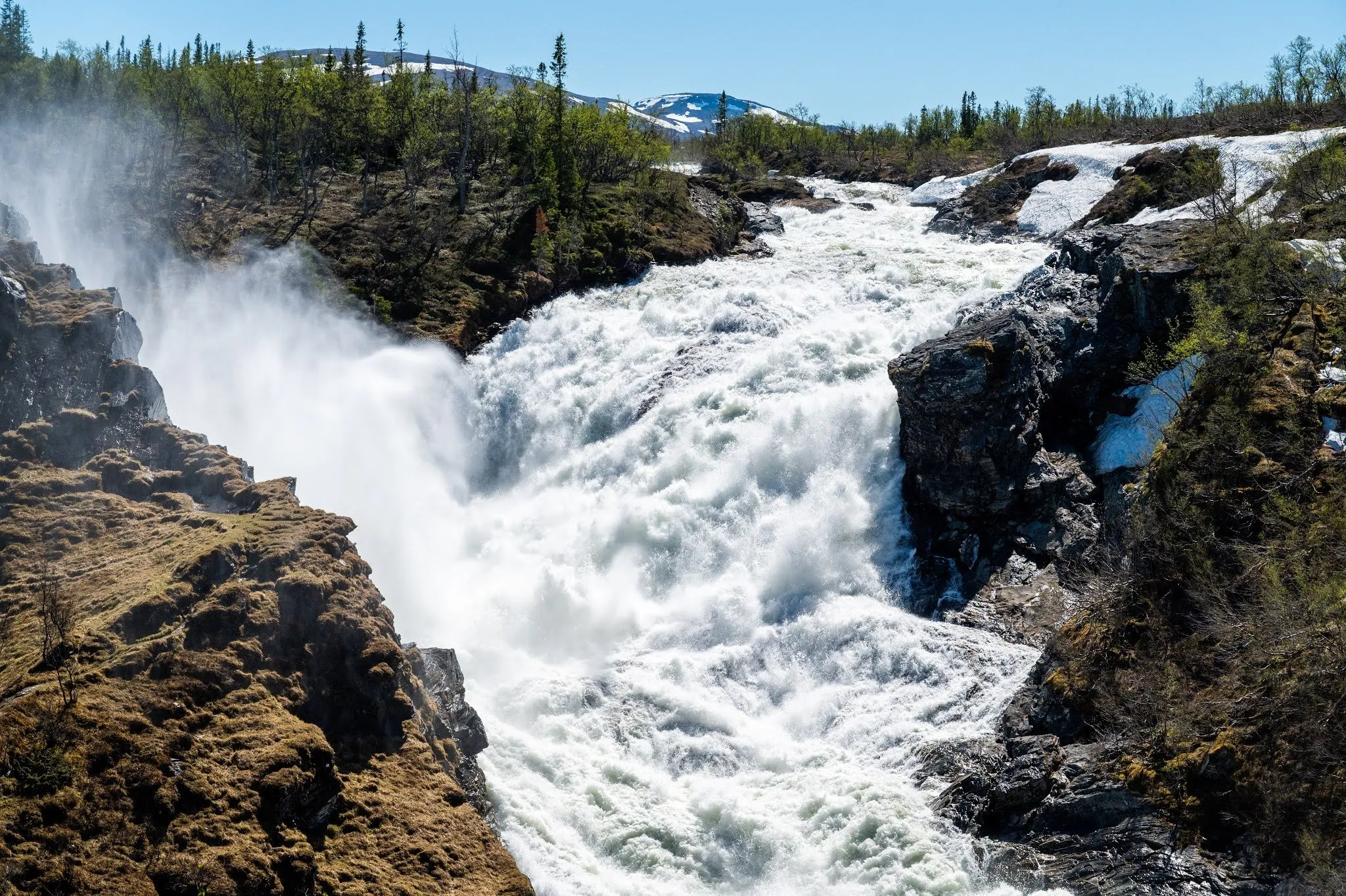
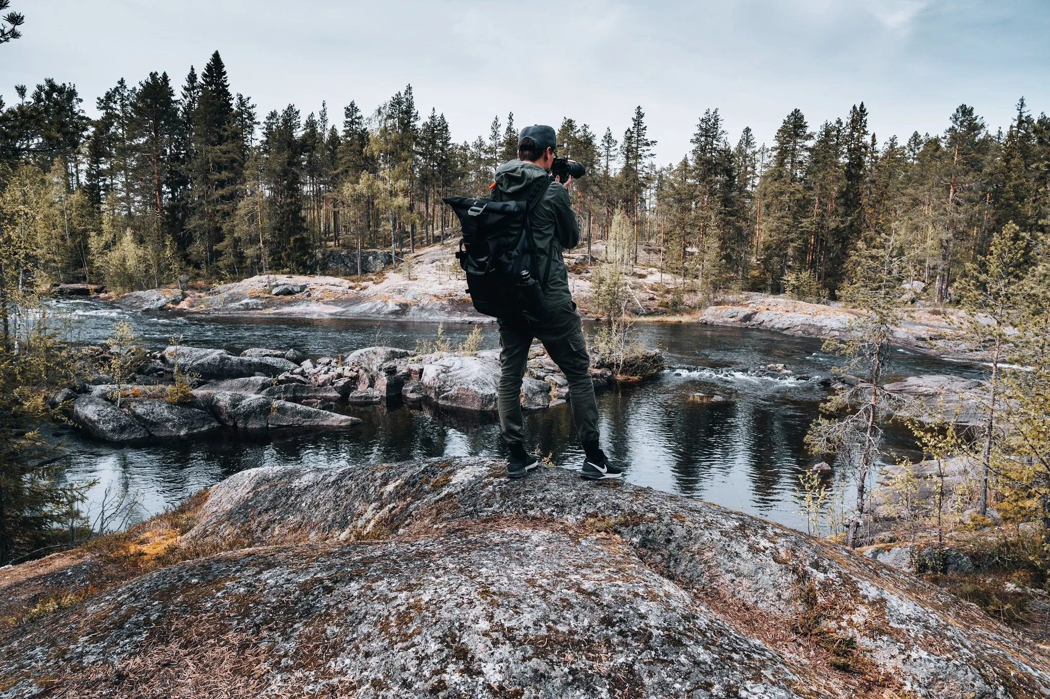
After that we visited a few other viewpoints and were once again the only ones far and wide. At the next one we had a view of a beautiful waterfall and a river. We took a lot of photos and hiked along the river in the forest for a while. How far and for how long, we did not record, nor whether we drove or walked to this viewpoint. This part is therefore missing from the map and track.
The old grey wooden hut by the rapids is probably the Brattfors skvaltkvarn mill, which Strömsunds kommun mentions together with a smaller waterfall. According to OpenStreetMap there is a viewpoint at the Brattforsen rapids about 600 m south of the painting, with a picnic shelter and a fireplace next to it. According to the Länsstyrelsen Jämtland the Vängelälven foams past the mill dramatically close. The mill still stands in its original place, a little to the side of the current, and part of the timbered, stone-filled dam has survived. Carved into a log are a man smoking a pipe and the year 1877. The machinery has survived but needs restoring, it was last repaired in the 1970s. There are potholes carved by glacial meltwater nearby.
The Länsstyrelsen advises avoiding the rotten wooden stairs down to the mill, using the existing paths and taking great care at the mill. By car, according to the Länsstyrelsen, you follow a second sign after the gravel road, cross the Vängelälven and drive past a few houses, and the mill is then on the right of the road. There is room for a few cars by the roadside, and near the road there is a covered picnic table and a barbecue spot.
We only went looking for the last viewpoint of the day, where the path broke off in the middle of the forest, later on, after a reading break by a lake. It is not part of this hike.