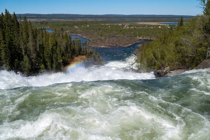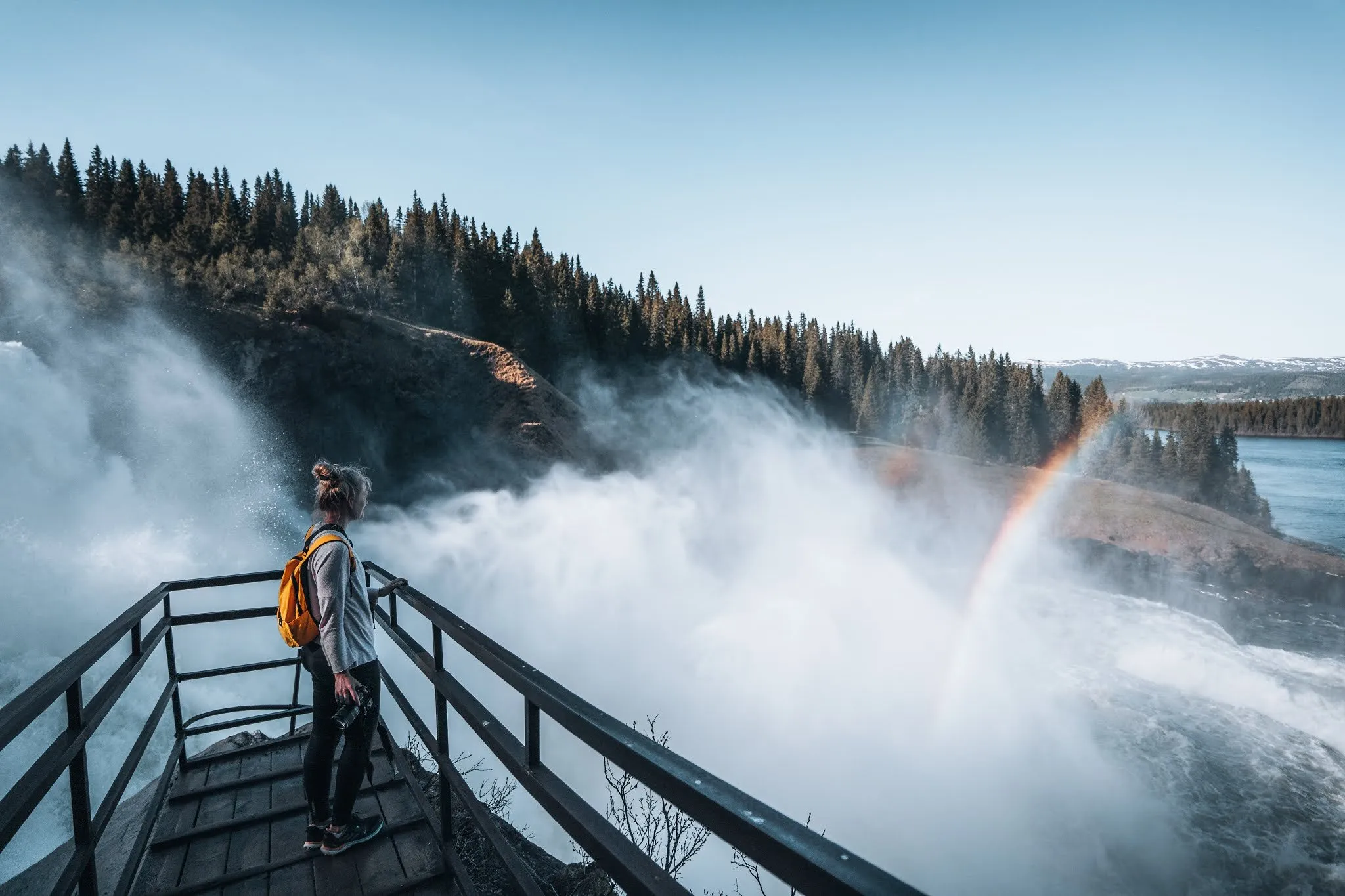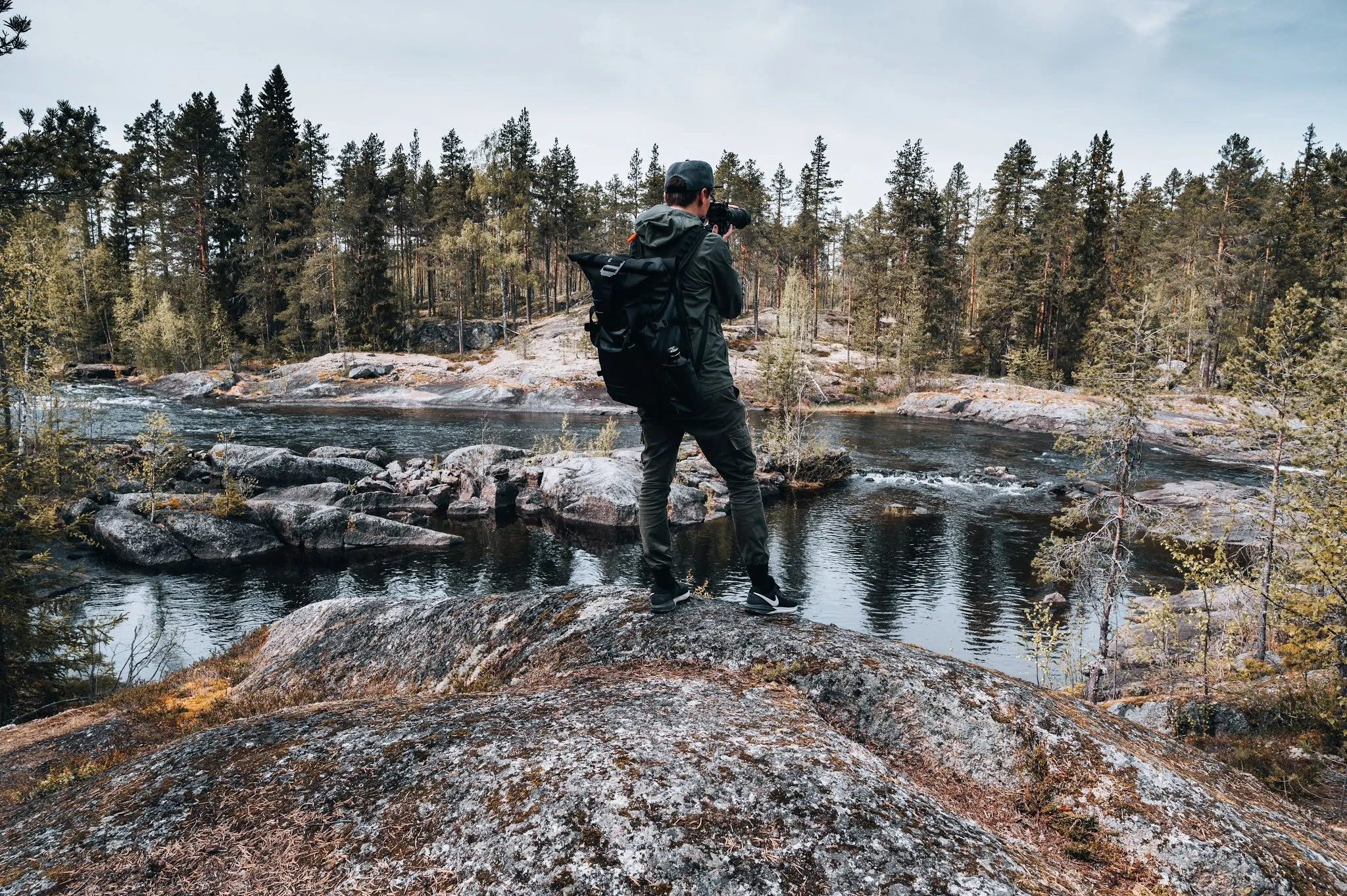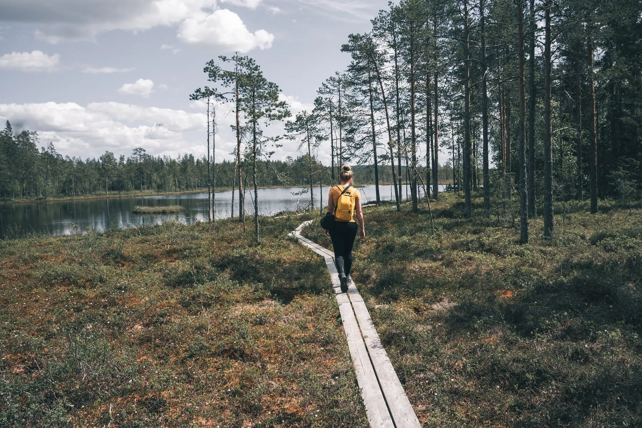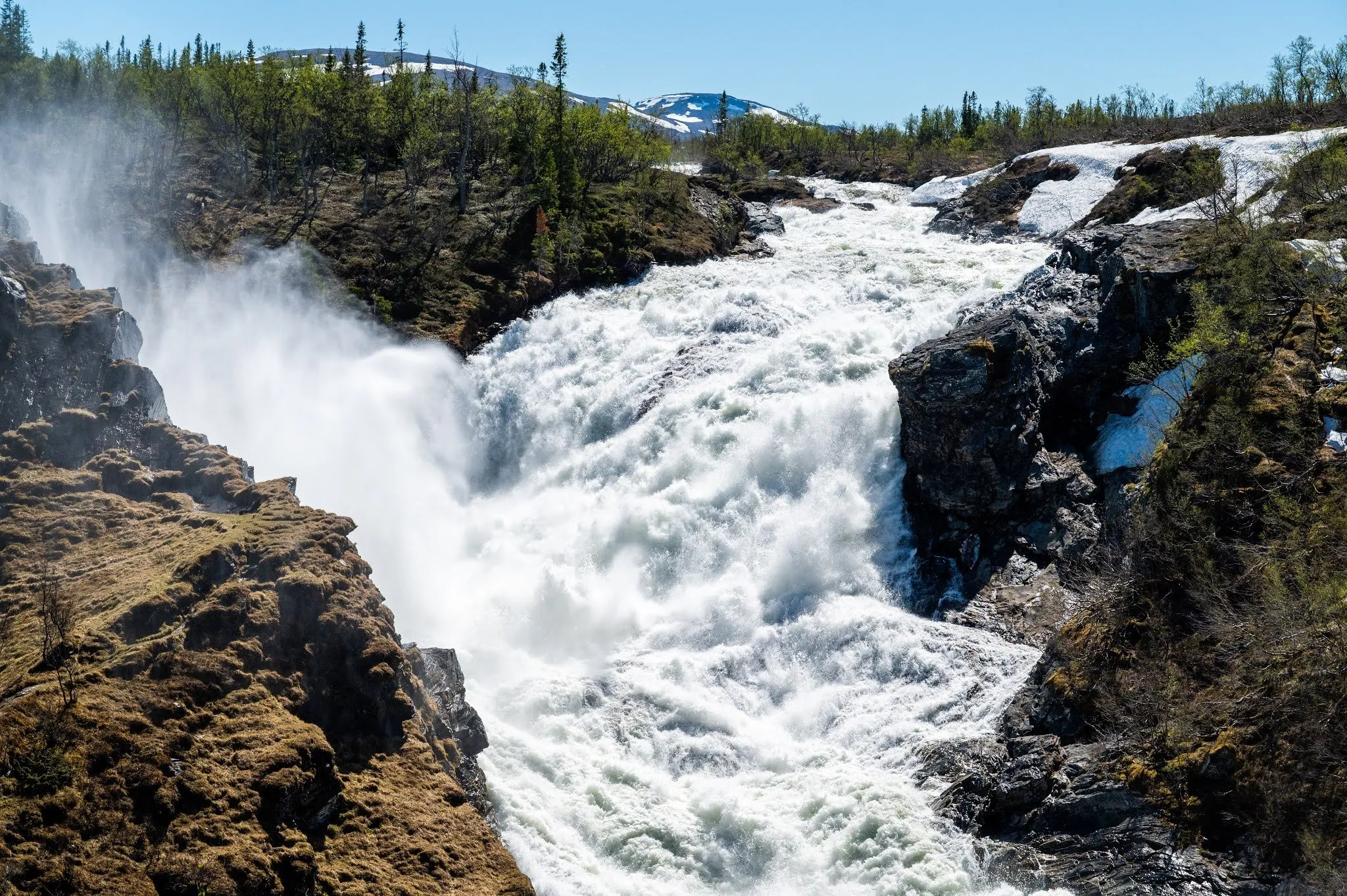
The Handölsforsen is a series of falls and rapids on the Handölan right in the village of Handöl in Åre Municipality, in the west of Jämtland. According to Åre Municipality, the water drops a total of 110 m over several falls. The municipality says this makes it higher than the Tännforsen and Ristafallet, but it seems less dramatic because the water falls over long slabs of rock. On the evening of 1 June 2021 we walk out onto the suspension bridge over the river, and the next day we cross it again and go on to the viewpoint. Map and track lead from the car park at the café across the bridge to the viewpoint, 0.92 km one way.
From the café to the suspension bridge
According to Åre Municipality, Handöl is about 10 km from the E14 at Enafors. The easiest place to park, the municipality says, is at Hanriis Café & Butik. In OpenStreetMap the car park there is mapped as free and for customers. According to its website the café is only open seasonally, in summer from mid-June to the end of September, Thursday to Monday. Whether you may park there outside opening hours, we could not find anywhere. Where we parked ourselves, we did not record.
From the café, the way to the bridge is about 300 m long according to the municipality and marked with blue signs with white lettering. Let’s Go Explore also gives about 300 m, the blog Life in a happy way about 500 m and the signpost «Gångväg Handölsforsarna». In the track it is 0.44 km to the start of the bridge. Even in a straight line, car park and bridge are a good 400 m apart in OpenStreetMap. Map and track follow a small road through the village to the upper power station Handöl Övre, and the bridge starts right next to it. Whether the blue signs take exactly this route, we do not know. Right by the bridge there are tables and seats according to Upplevelsebloggen, and OpenStreetMap shows a barbecue spot at the east end.
We come here on the first evening, after Ristafallet and Tännforsen. Unbelievable amounts of water flow here too, and they are also used to produce electricity. In the middle of the suspension bridge we can really feel the force of the thundering water, the bridge vibrates and sways noticeably. We take some photos, also with the drone.
According to SVT, the old suspension bridge was in such poor condition that the municipality wanted to demolish it. The village did not want that, and in 2014 a new one was built. The path from the bridge was also restored at the time, and the village association received 85,000 kronor from the County Administrative Board for the project. In OpenStreetMap the bridge is about 55 m long and 1 m wide, with a wooden deck. World of Waterfalls reports signs at the bridge saying that no more than three people may be on it at a time. The Handölingen race gives the same limit in 2026.
Up the west bank to the viewpoint
The next day we go to the Handölsforsen once more. Now it lies beautifully in the sun.
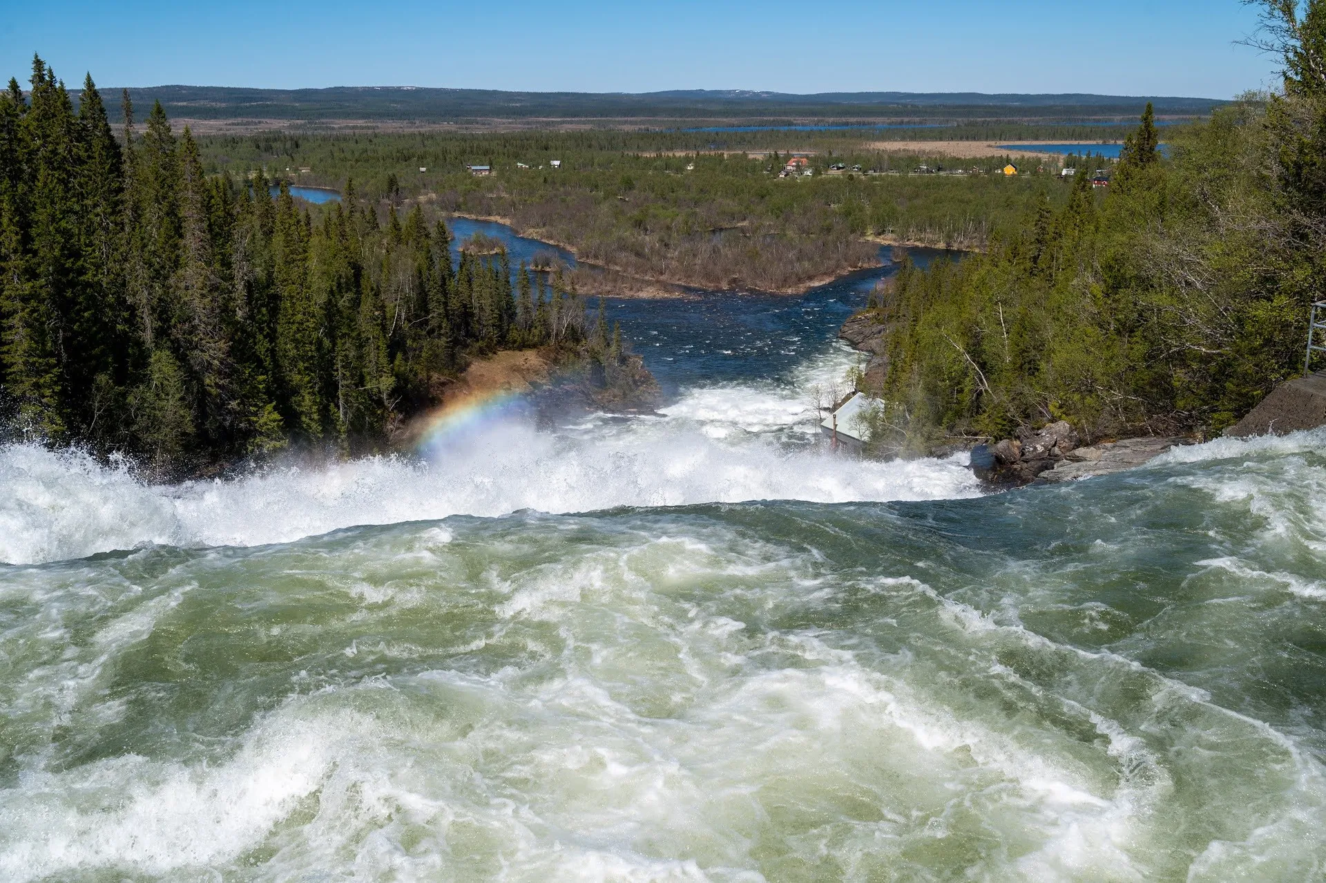
We walk across the suspension bridge again and follow a path there to a viewpoint over the higher part of the waterfall. According to European Waterfalls, you turn left after the bridge for this. In OpenStreetMap several paths start at the west end of the bridge. Which one we took, we did not record. Map and track take the one mapped there as a clearly visible dirt path. It makes a hairpin bend right after the bridge and then runs upstream along the falls. OpenStreetMap gives it the lowest grade of the SAC hiking scale. Åre Municipality gives half a kilometre to the viewpoint, Let’s Go Explore about 400 m after the bridge and Life in a happy way about 400 m uphill. In the track it is 0.45 km from the middle of the bridge. According to OpenStreetMap there is a bench at the viewpoint facing south, upstream.
We admire the view and then drive on. How long we were out and how we walked back, we did not record. Map and track take the same way back. According to Åre Municipality, you can hike on along paths from the Handölsforsen towards Storulvån, and according to Upplevelsebloggen it is 11 km to the mountain station.
The heights on our map come from a coarse terrain model (EU-DEM) and are uncertain here. It puts the bridge 12 m lower than the car park and the viewpoint at 601 m. On the blog Life in a happy way, the recording barely rises from the café to the bridge, and its highest point is 626 m. The map that goes with it shows «640 m» at the viewpoint. Profile, ascent and highest point on this page are therefore only approximate.
Power stations and village history
At the Handölsforsen there are two hydropower stations run by Jämtkraft, Handöl Nedre from 1915 and Handöl Övre from 1985. According to Äventyrligare, the lower fall is the biggest at 49 m, and it starts at the suspension bridge.
According to Wikipedia, Handöl is best known for its soapstone quarry and for the Caroleans. Around New Year 1719, the survivors of Armfeldt’s Carolean army came to the small village after their death march from Trondheim across the mountains. An estimated 3,000 of 5,800 men died in the cold and snow. According to Hanriis Café, 600 of them lie buried in Handöl.