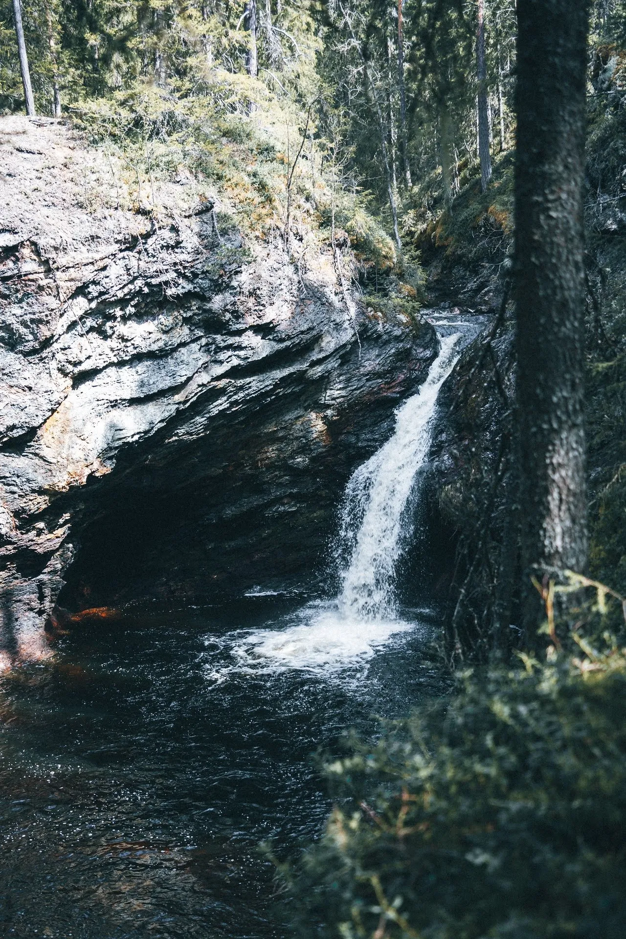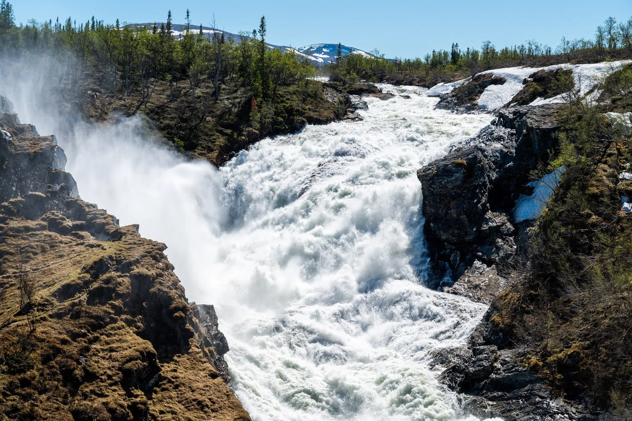
The Tvärfallet is a small waterfall in the middle of a dense spruce forest near the village of Brattbäcken in Strömsund Municipality in Jämtland. In OpenStreetMap it is described as «Vattenfall i ravin», a waterfall in a ravine. Strömsund Municipality lists it on its map of the Vildmarksvägen as excursion number 47. We were there on Saturday, 29 May 2021. It is more of a walk than a hike. The footpath from the forest road to the falls is short and ends there, and the way back is the same path.
At the time we were staying at an accommodation by the lake in Hoting, and the waterfall lies a little to the west of it. The sun was already shining in the morning. We decided to go in the morning so that we could enjoy the sun at our accommodation in the afternoon. The Tvärfallet is actually half an hour away by car. Our GPS, however, sent us on a detour that took about twice as long and led along a bumpy road.
According to the Brattbäcken village association, the falls lie a good two kilometres up the forest road in Brattbäcken. Basecamp Norråker describes the drive from Norråker: In Brattbäcken you turn left onto a forest road, where there is a small wooden sign. In OpenStreetMap this forest road is called Brattbäcksvägen and is unpaved. Whether that was the bumpy road the GPS sent us along, our post does not say. OpenStreetMap shows no car park, and where we left the car, we did not record. According to the village association there is a picnic table with benches up by the forest road for a break.
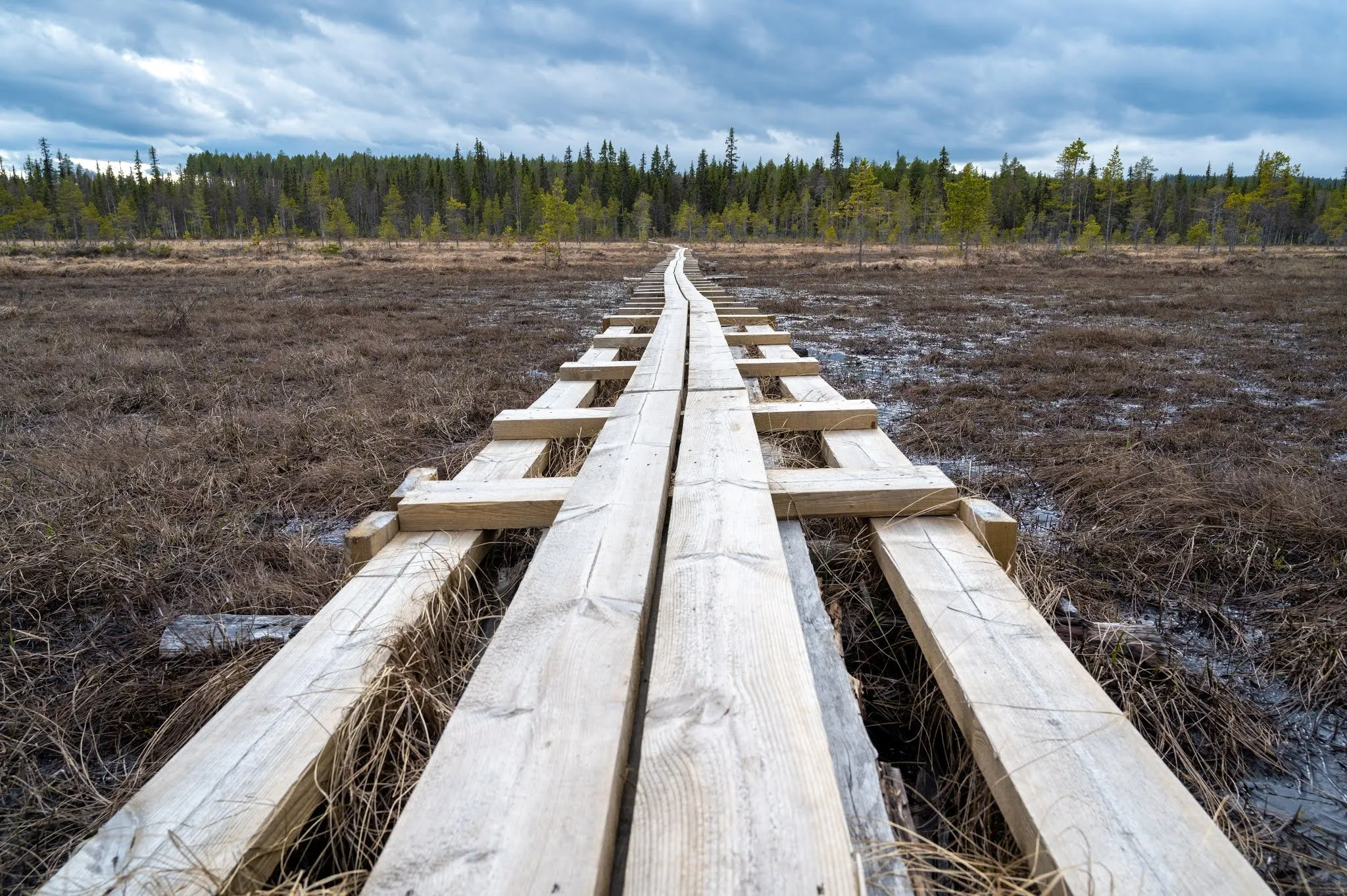
According to OpenStreetMap the footpath branches off the Brattbäcksvägen and leads to the waterfall. The map and track start at this junction. In the track it is 77 m to the falls, about 0.15 km there and back, with almost no change in elevation. A Komoot user describes the spot as a short hike with a quiet place to sit. We found no official grade, walking time or height of the falls anywhere. We did not record our own walking time.
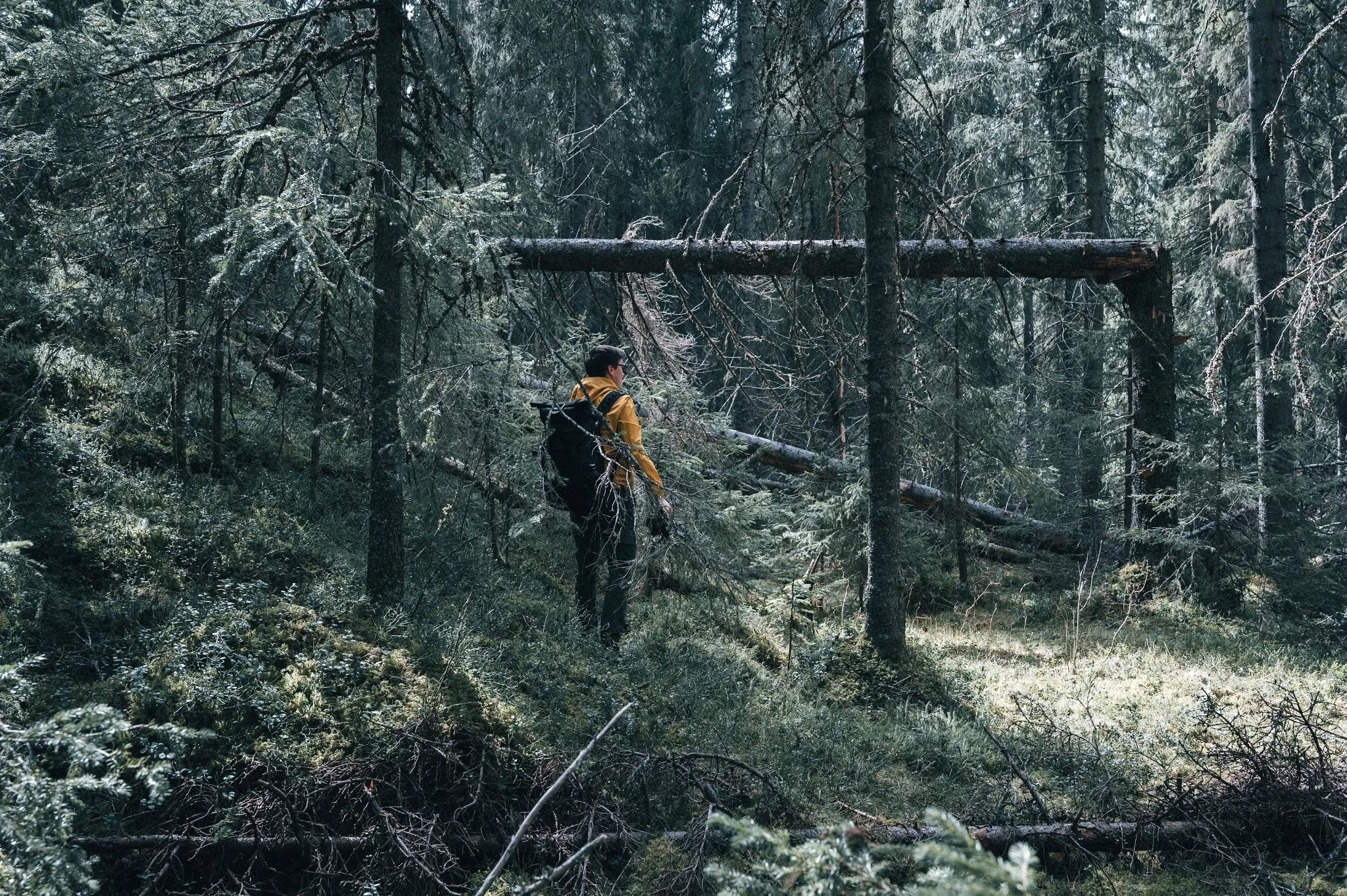
As usual we were the only ones there, even on this Saturday. The forest floor is covered with soft, lush green moss, which gives the forest a fairytale look. We were bothered by mosquitoes, but that didn’t stop us from walking through the forest to the waterfall. The rays of sunlight fell through the dense trees, and fallen trunks lay between the spruces. We were fascinated by the many different shades of green.
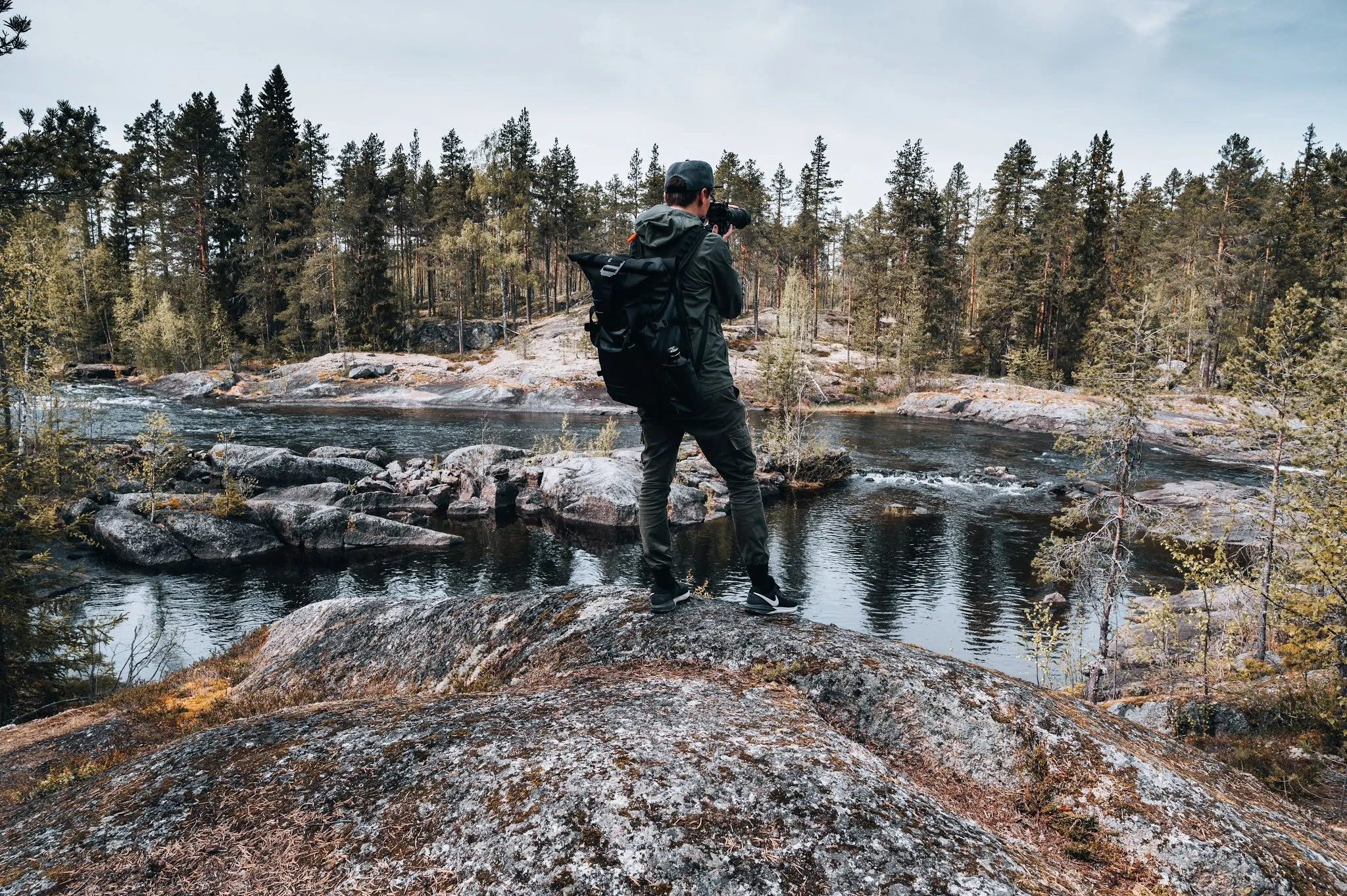
The waterfall lies secluded in the middle of the forest. We took a lot of photos and videos, and Nicolas flew his drone. Afterwards we drove back to our accommodation by the lake, where we spent the summery afternoon.