Hamra National Park lies in Orsa Finnmark, in the municipality of Ljusdal in the province of Gävleborg. According to Länsstyrelsen Gävleborg, the county administrative board, it was created in 1909, extended in 2011 and now covers 1383 ha. According to Wikipedia it started with 28 ha. According to Naturvårdsverket, the Swedish Environmental Protection Agency, almost half of the park is bog, and about 90 % of the trees are pines, many of them over 300 years old. We were here on 5 June 2021, on the stage from Rätan to Orsa. It was the first stop of the day.
Getting there and the main entrance
In the morning we checked out in Rätan and drove towards Orsa. As so often, we were the only ones driving along a long gravel road until we got there. According to Länsstyrelsen Gävleborg a road branches off the E45 between Sveg and Orsa eastwards at Fågelsjö, and after about 5 km you reach the main entrance. The way there is signposted. There are car parks at all three entrances, the main entrance (Huvudentrén), Myrentrén and Svartåentrén. According to OpenStreetMap the car park at the main entrance is free, and so is the toilet there. Länsstyrelsen Gävleborg mentions dry toilets and fireplaces at the entrance. According to Naturvårdsverket you may stay overnight with a motorhome or caravan in the entrance car parks, for at most two days in the same place.
Once there, everything was very modern and well signposted. Several hiking routes lead into the national park. We hiked along two different trails. Our post does not say which ones. The map and track follow the two loops that, according to Naturvårdsverket, start at the main entrance, Lilla Myrslingan and Urskogsslingan. That is our assumption, and so is the order. The other trails start at other entrances or are longer: Långa Myrslingan starts at Myrentrén, Svartåslingan at Svartåentrén, and according to Naturvårdsverket Hamraleden is 10 km long and takes about 6 hours.
Lilla Myrslingan through the bog
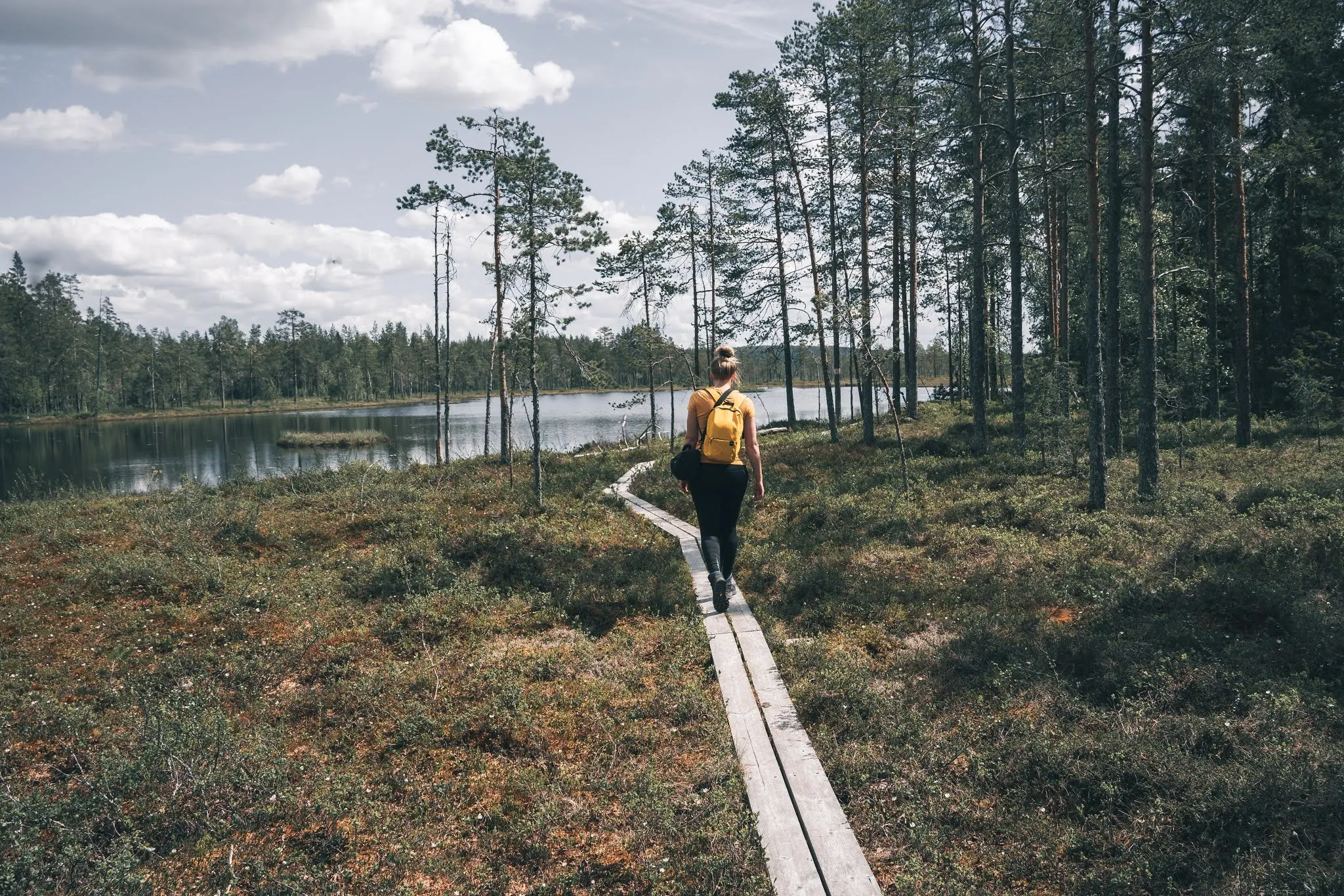
According to Naturvårdsverket Lilla Myrslingan is 2.5 km long. You walk across the open bog, and where it is wettest, two-plank boardwalks are laid. Länsstyrelsen Gävleborg describes the bog as a connected area of fens, streams, small pools, quaking bogs and islands with pines. According to Länsstyrelsen Gävleborg the trails have signposts and markings. Off them the plant cover lies on the water like a lid, and you can fall through. In OpenStreetMap the loop is marked purple.
The park is characterised by bog landscapes. Accordingly there were lots of mosquitoes. Carnivorous plants are supposed to grow here too. Unfortunately we didn’t see any of those, but all the more of the mosquitoes. The cover photo shows a narrow boardwalk by a forest lake. Our post does not say which one.
In the track the loop leads from the entrance to the southeast as far as a signpost in the south of the loop and back to the entrance over a boardwalk by Gåstjärnen. On the line that is about 2.35 km.
Urskogsslingan to Svansjön
According to Naturvårdsverket Urskogsslingan also starts at the main entrance, is 3 km long and takes about an hour through the old-growth forest. The first 500 m to the viewpoint at Svansjön are a wide boardwalk, also passable with a wheelchair, rollator and pushchair. After about 2.5 km a turn-off shortens the loop. According to Naturvårdsverket some trees in the park are over 400 years old. In the track it is about 2.75 km from the entrance back to the entrance.
Together with the way from the car park to the entrance, the track comes to 5.63 km with about 10 metres of ascent. That fits the official lengths of the two loops. How long we were out, we did not record. Our post only says that we got a nice insight into this special landscape.
According to Länsstyrelsen Gävleborg you may pick berries, flowers and edible mushrooms for your own use. Fires are only allowed at the fireplaces provided. Firewood costs 40 kronor per bundle, paid with Swish.
After the national park we picked up our lunch at a very remote ICA and drove on to the Helvetesfallet.