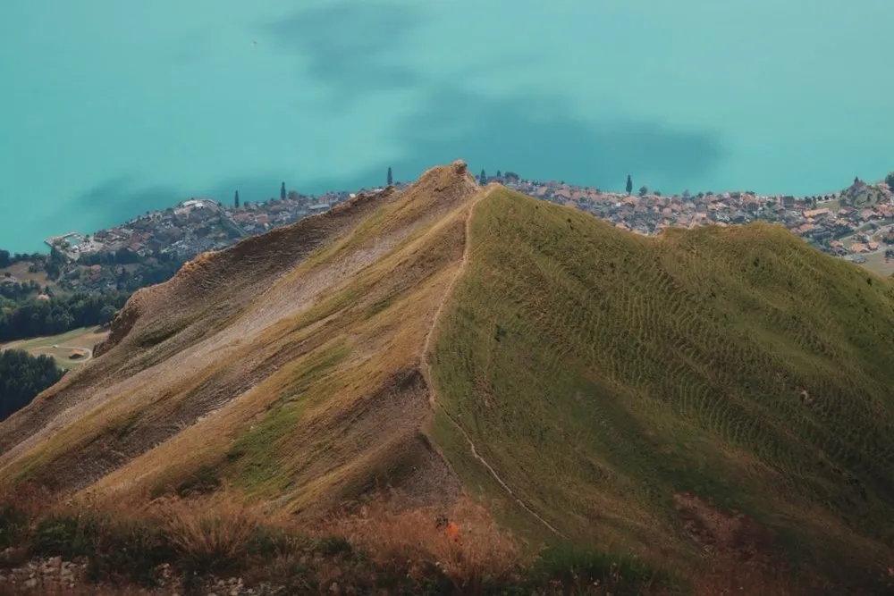
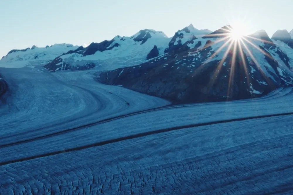
Between Bergün and Preda the Albula Railway climbs from 1373 to 1789 metres. Alongside the line runs the first stage of the Railway Adventure Trail Albula. According to the Rhaetian Railway it runs in three stages from the Albula Tunnel to the Landwasser Viaduct, with information panels on technology, culture and the people of the Albula Valley. For stage 1 from Preda to Bergün the Rhaetian Railway gives 7.0 kilometres and 2 h 15 min to 2 h 45 min of pure walking time, Bergün Filisur Tourism 7.1 kilometres. Nicolas walked it on 17 October 2026 with his friend Julian in the opposite direction, uphill from Bergün to Preda, and from there on to Lai da Palpuogna. There and back is by train.
From Bergün along the fitness trail and the railway
We arrive in Bergün at 11:12 on the train from Chur. From the station we walk through the village to the signpost «Bergün / Bravuogn», which according to OpenStreetMap reads «Naz-Preda 2 h» among other destinations. At the edge of the village towards Preda the Vitaparcours, a fitness trail, starts by the shooting range. According to the Graubünden tourist board it is 2.6 kilometres long with 15 stations for mobility, coordination, strength and endurance. The Railway Adventure Trail follows it for a while, past the campsite and along the stream. We do pull-ups on the rings and triceps dips on the wooden bars.
Between the shooting range and the campsite two paths run up the valley side by side. The map shows the western one, the tour of Bergün Filisur Tourism takes the eastern one. Which one we took we did not record.
After that the path follows the railway through larches and spruces. To keep the gradient from ever exceeding 35 per mille, according to Wikipedia the line winds between Bergün and Preda through two loop tunnels and three spiral tunnels and crosses the Albula on four viaducts. According to Bergün Filisur Tourism our path passes two fire pits and goes under a viaduct. On one stretch it becomes narrow and steeper, with roots and steps, and the same description recommends good footwear and a sure foot there. Shortly after half past twelve a red train crosses the low Albula Viaduct I with the road passing under its arch. Further up the stream rushes between yellow larches beside the path, and a little less than an hour later we see a train crossing the Albula Viaduct IV high above the gorge.
Via Naz and Preda to the lake
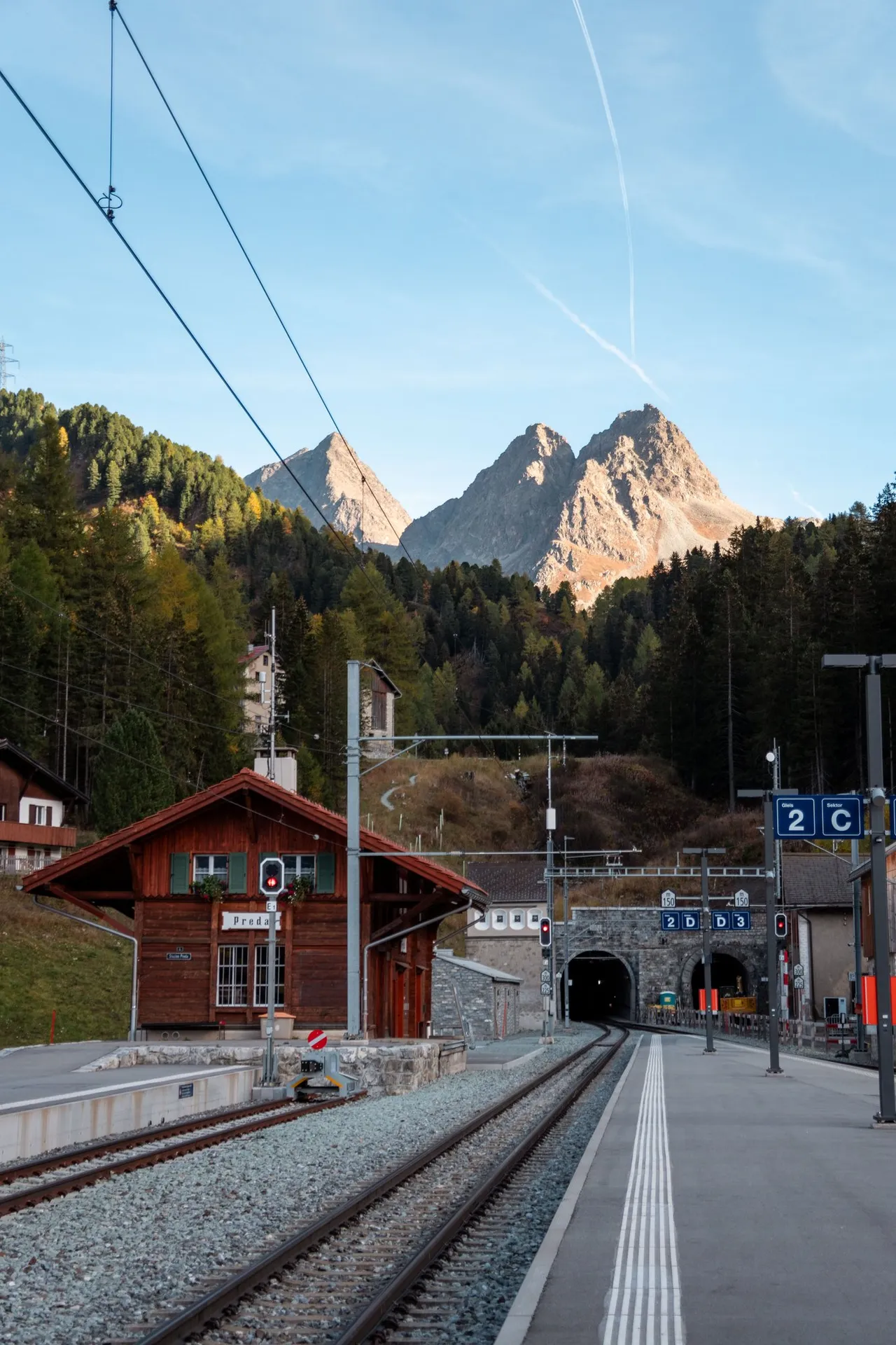
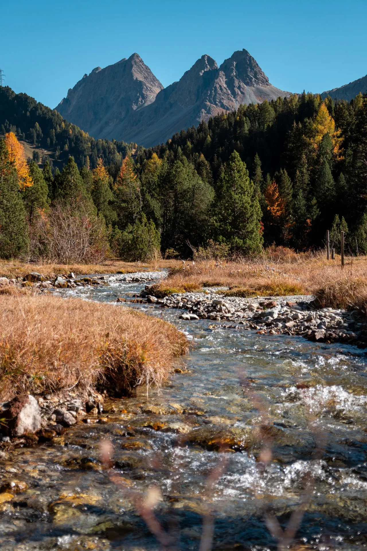
At the hamlet of Naz the railway runs across a short plateau according to Wikipedia, and there is also a board of the Railway Adventure Trail. Below Preda a stream runs through a plain of dry grass, and above the forest stand the pyramid of Piz da las Blais on the left and the Dschimels with its double summit on the right. Then the path leads through the forest to Preda at 1789 metres, where the railway disappears into the Albula Tunnel.
The Graubünden tourist board describes the path to the lake as an easy short hike of 1.7 kilometres with 142 metres of ascent. It starts at Preda station after the underpass and climbs through the forest in about 40 minutes. On the map our line already joins it before the station.
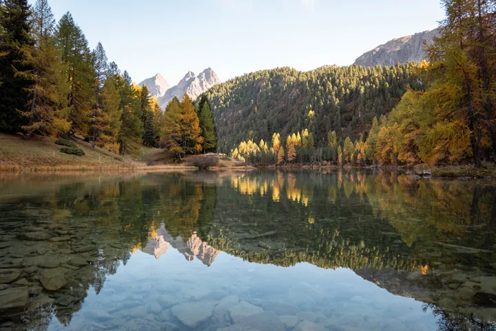
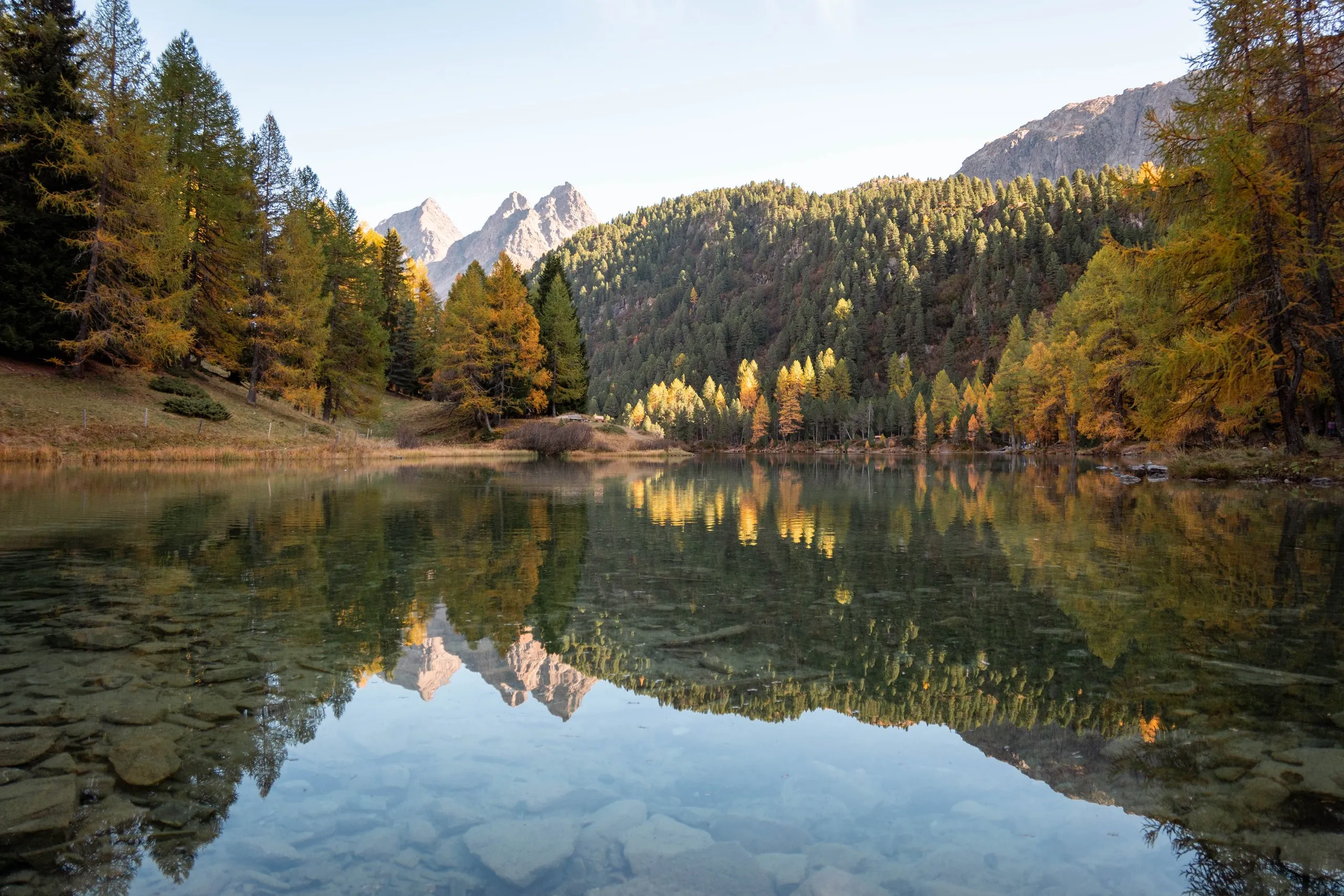
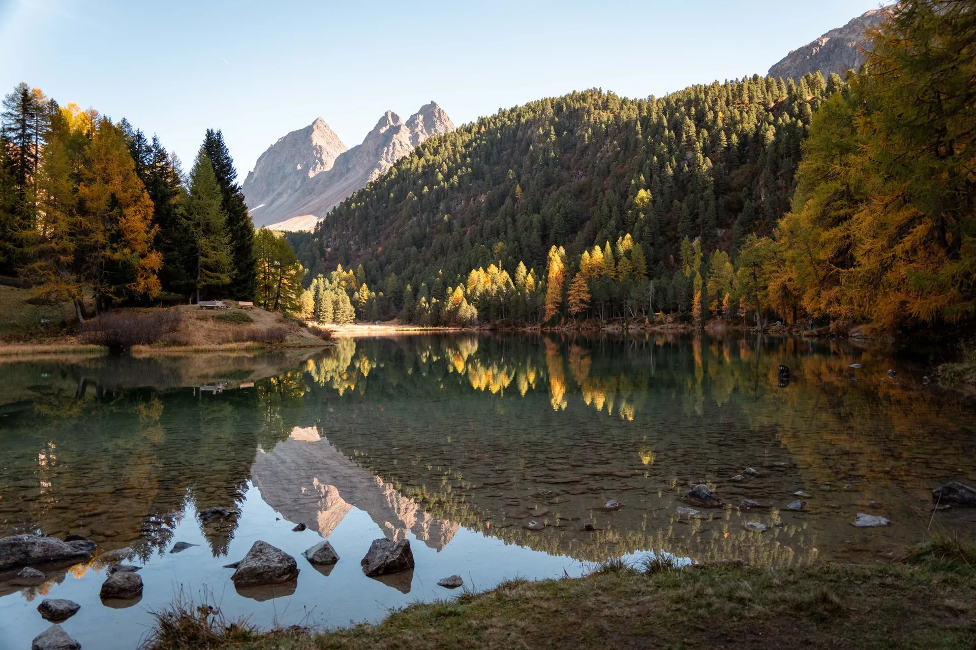
Shortly before half past two we stand at the north-western end of Lai da Palpuogna, at 1918 metres. From Bergün to here it took us a good three hours with the fitness trail and all the photos. By this time the lake, except for its south-eastern end, already lies in the shadow of Piz Palpuogna, and the still water reflects the yellow larches and the peaks. According to the Graubünden tourist board it is not a swimming lake, for safety reasons. Around the lake there are picnic spots with fire pits.
To Alp Weissenstein at Crap Alv
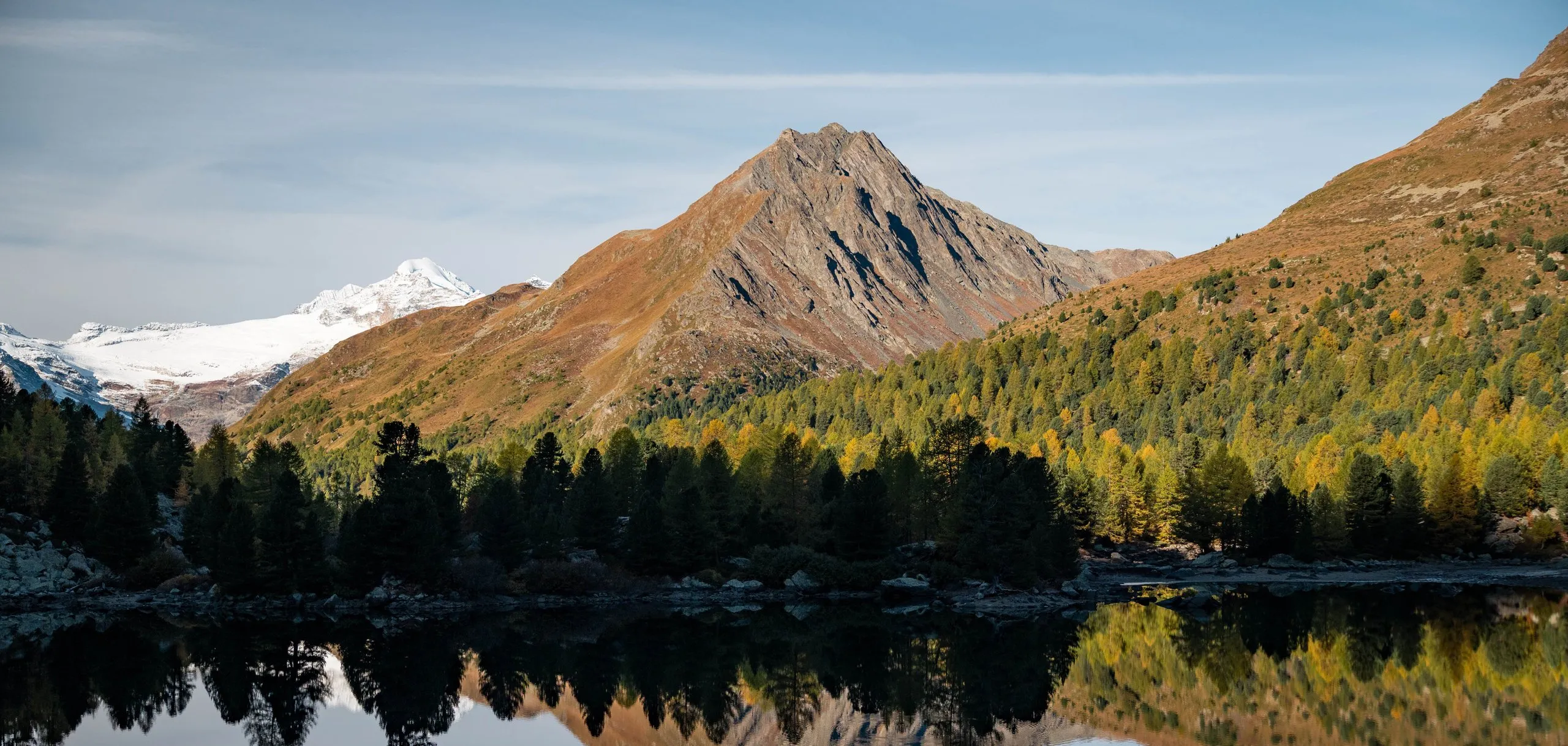
We have two hours left until the train. We add a loop and walk on from the lake up the valley to Crap Alv, where the road to the Albula Pass crosses the Albula. East of the lake the hiking trail runs along the Albula, and we pass a fen meadow with golden grass.
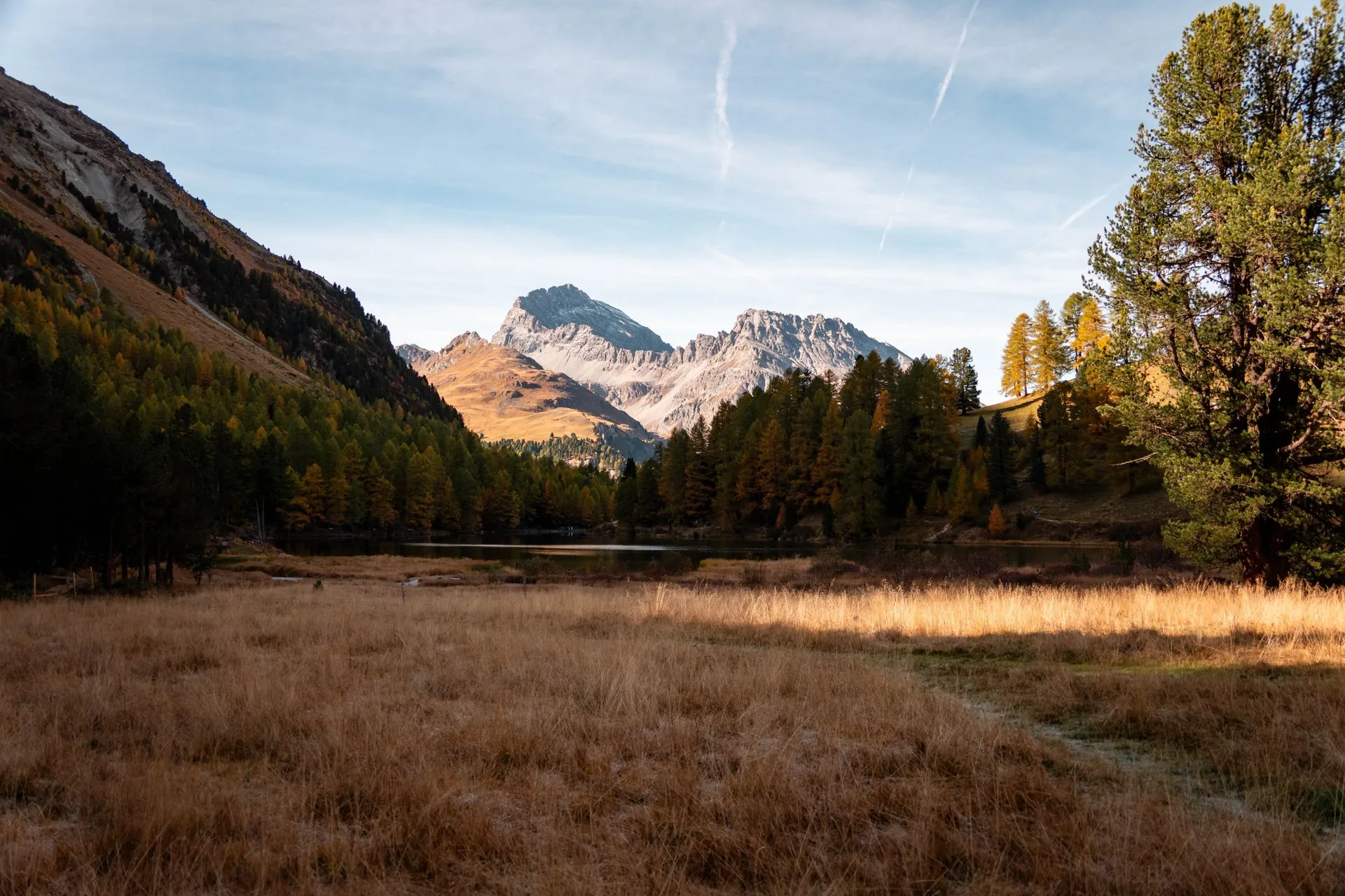
At Crap Alv, at 2026 metres, stands Alp Weissenstein. According to Wikipedia it is a research station of the Department of Agricultural and Food Sciences of ETH Zurich, where high-alpine dairy cow and sheep farming and the montane vegetation are studied. According to OpenStreetMap the signpost gives 25 minutes to Lai da Palpuogna and 40 minutes to Preda. We turn round on the road bridge over the Albula.
Back to Preda on the meadow path
On the way back we take a meadow path above the pass road. From the road at Crap Alv it climbs almost 20 metres more, to a little over 2040 metres, the highest point of the hike. In OpenStreetMap only a little over its first 600 metres are mapped, and there it ends in the middle of the meadow. From there a path leads across the meadow to the car park at the north-western end of the lake, and we follow it. Up to the forest most of it shows on the aerial photo of swisstopo, and the stretch along the bottom of the meadow is also on the national map. We traced it from them for the map: It runs on along the upper edge of the meadow, then diagonally down through a gap between the trees and along the bottom of the meadow to the forest. In the forest above the road it cannot be made out on the aerial photo, so there the map shows the way to the car park only roughly. From the end of the meadow path to the car park it is about 900 metres. At the car park we rejoin the hiking trail and take it down to Preda. With the loop it is almost five kilometres from the lake to the station, instead of 1.7 on the direct path.
Shortly after four we are at Preda station. Behind the wooden station building two portals lead into the mountain. According to the Rhaetian Railway the new Albula Tunnel opened in June 2024, and the old one from 1903 is being converted into a safety tunnel by 2026. At 16:29 we take the train to Chur.