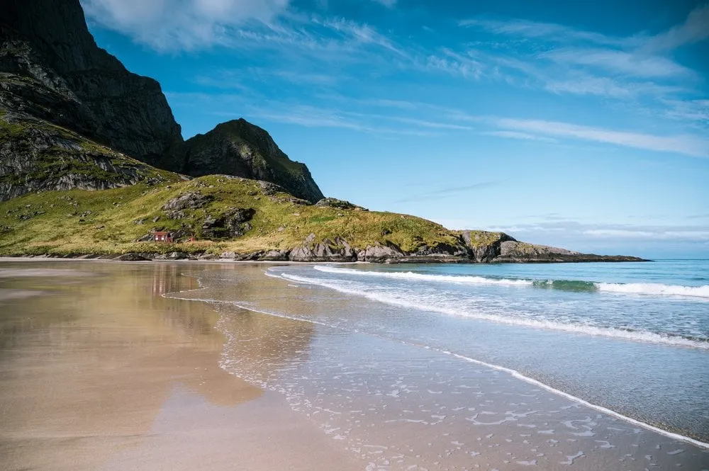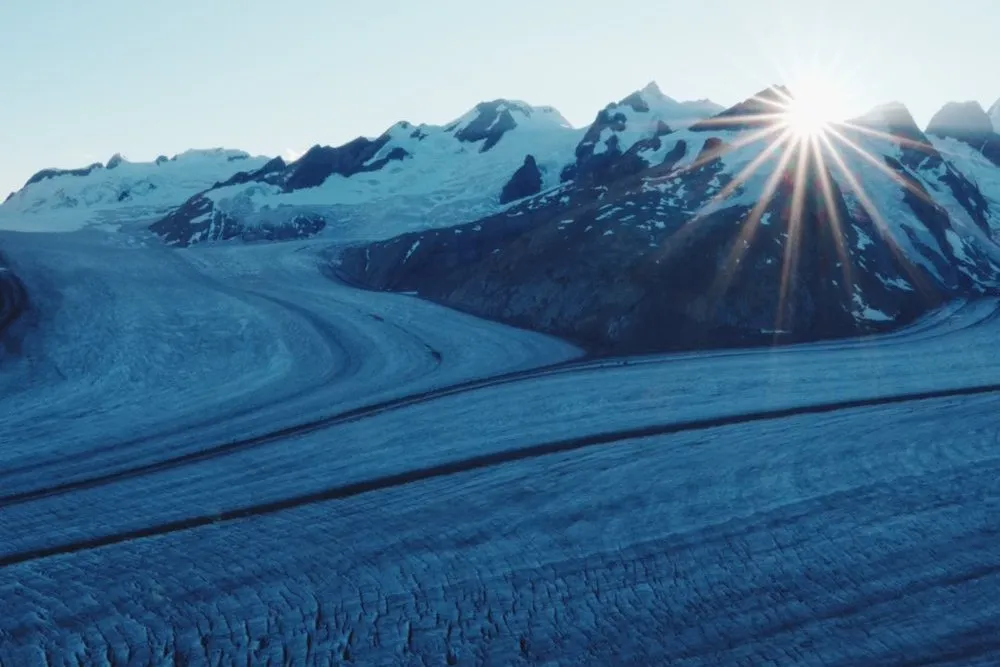
The Great Aletsch Glacier is the longest ice stream in the Alps. At the end of July 2026 we crossed it in two days, roped up in a group of twelve with our mountain guide Richie: On the first day from the Jungfraujoch to the Konkordia Hut, on the second across Konkordiaplatz and down the glacier to Märjelensee and on to Fiescheralp. This is not a hike on a path but a glacier tour. Without a mountain guide or your own glacier experience and the right equipment, you do not go.
Getting there and meeting point
We spent the night in Grindelwald. From there the Eiger Express runs from Grindelwald Terminal to Eigergletscher station, where you change to the Jungfrau Railway. It ends on the Jungfraujoch at 3454 metres. Up there we first took our time for the viewpoints and the ice cave. The Jungfraujoch was also where we met Richie. He gave us crampons and a harness, showed us how to put both on, explained the rope and what to do if someone falls in.
Day 1: Jungfraujoch to the Konkordia Hut
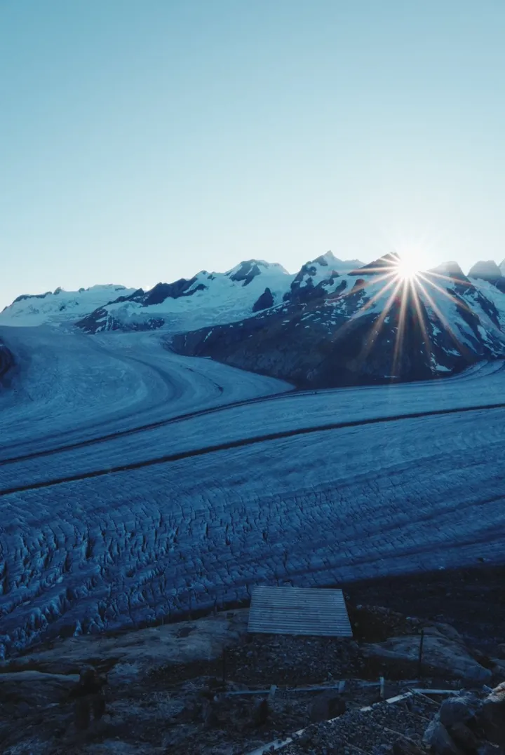
This part took us about three and a half to four hours. First you cross the firn, the snow was still firm from the night. The further we descended, the less snow there was, until we were walking on bare ice with crevasses, channels and polished waves. Richie picked the line, and we followed in his footsteps.
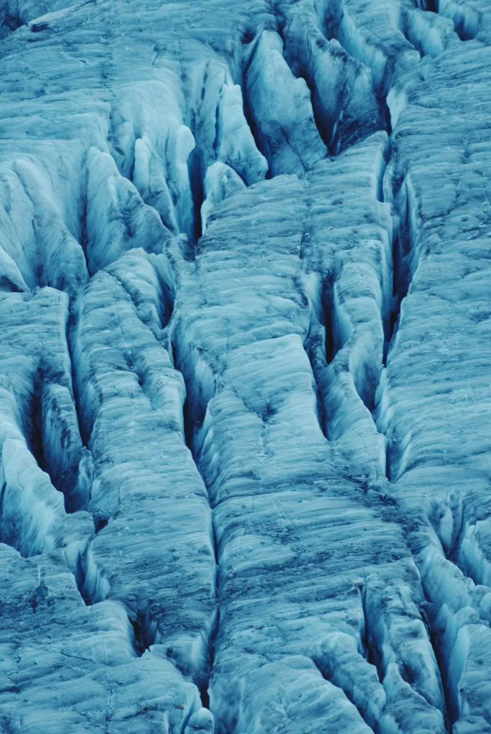
At the edge the ice gives way to moraine and rubble. Over loose blocks you reach the foot of the stairs that climb the rock face to the Konkordia Hut. There are a good 550 steps. When the hut was built it stood almost level with the ice, today it sits high above it, and the stairs have been extended again and again. With heavy legs and the glacier behind you, this climb is a real adventure.
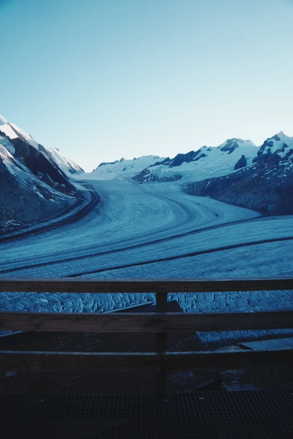
The hut stands at almost 2850 metres above Konkordiaplatz, where four streams of firn merge into the Great Aletsch Glacier. We had a double room with a view of the Jungfrau and the Eiger. Dinner was soup, couscous salad and Älplermagronen.
Day 2: Konkordia Hut to Fiescheralp
The alarm went off at 05:00, and at six we were back on the ice, roped up. The first rays of sun only caught the ridges above us, down below we were still walking in the shade.
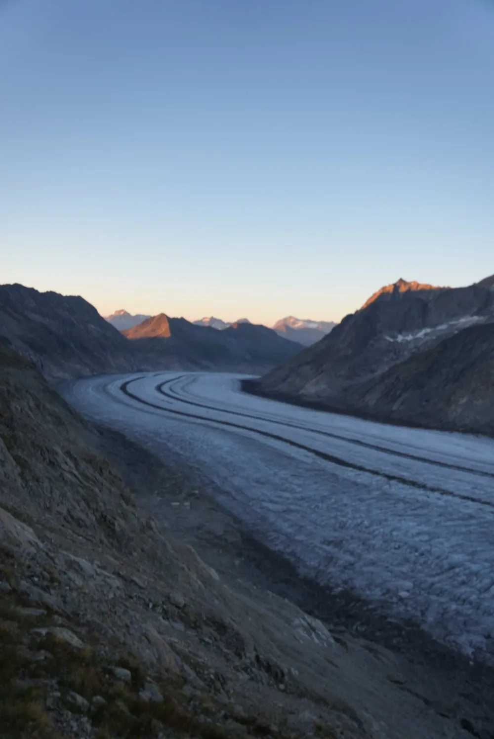
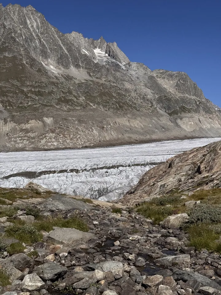
The route follows the dark medial moraines down the glacier for a long time. Distances are hard to judge: What looks like a short stretch to the next rocky spur takes half an hour. After about three hours we left the ice at Märjelensee.
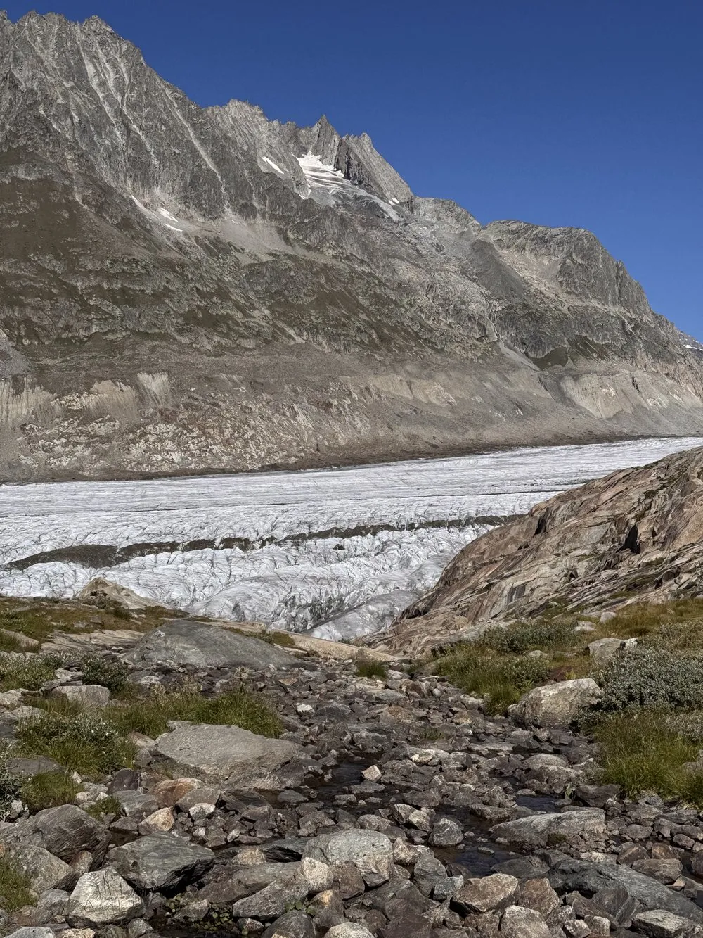
From Märjelensee we walked on to Fiescheralp. From there the cable car runs down to Fiesch, and by train we were back in Basel in the evening.
Why there is no GPX here
There is no marked path across the glacier, and none is mapped in OpenStreetMap either. The guide picks the track every day according to snow, crevasses and weather. That is why the map draws no line across the ice, only the numbered waypoints. The only line is the hut path from the glacier up to the Konkordia Hut, which is mapped as a path. Several marked paths lead from Märjelensee to Fiescheralp. The map shows this last stretch with its waypoints only as well.