From Gornergrat to Riffelalp it is almost all downhill. Zermatt Tourism lists the route in the opposite direction as Swiss Topwalk no. 23, from Riffelalp via Riffelberg and the Riffelsee up to Gornergrat, with 6.1 kilometres, 891 metres of ascent and grade T2. For our direction, downhill, the description gives about two hours. On the way lie the Rotenboden and Riffelberg stations of the Gornergrat Railway, where you can stop. Nicolas walked the route on 31 October 2026 with his friend Julian. There was already snow, and the trails were closed.
From Gornergrat to the Riffelsee
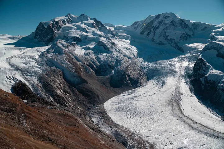
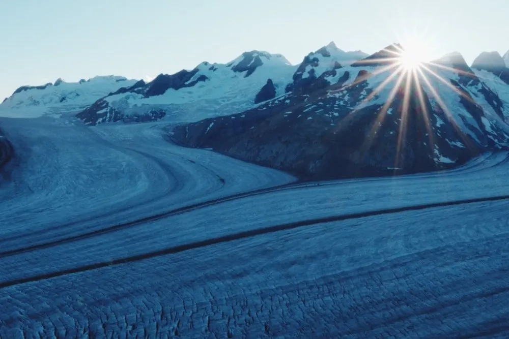
The Gornergrat Railway takes 33 minutes from Zermatt up to Gornergrat. The Swiss travelcard (GA) is not valid, and holders of a GA or half-fare card pay half. The viewing platform lies above the top station, behind the Kulmhotel. According to the Gornergrat Railway, astronomers carried out research in the two domes on its towers from 1967 to 2010. From the platform you see the Gorner Glacier to the south-east, below Monte Rosa and the Liskamm. According to Glacier Monitoring in Switzerland (GLAMOS), its tongue has retreated by a good three kilometres since measurements began in 1882.
From the station the Viewing path no. 15 leads down to Rotenboden. Zermatt Tourism gives 1.9 kilometres, 40 minutes and 290 metres of descent. Our line on the map follows the paths of OpenStreetMap and passes the Rotenboden stop. On the way you look across to the Gorner Glacier and down onto the Riffelsee. On 31 October 2026 the trail from Gornergrat was already closed, and a signpost was taped over with barrier tape.
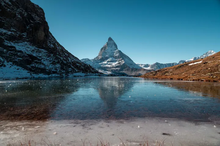
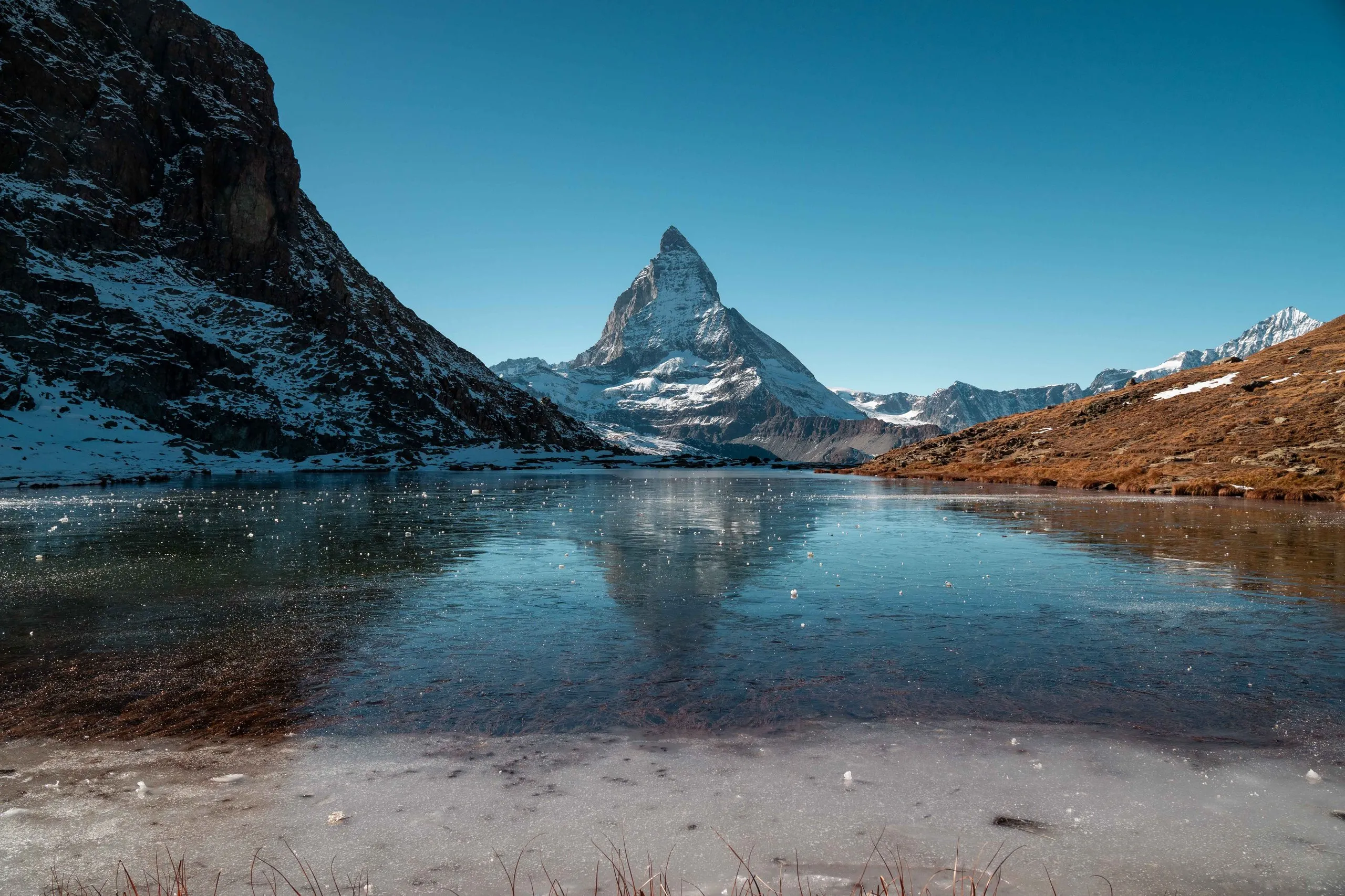
From Rotenboden it is about ten minutes gently downhill to the Riffelsee, according to Zermatt Tourism. The lake lies at 2757 metres in a nature reserve at the foot of the Riffelhorn. According to the Gornergrat Railway it is about 100 metres long and 50 metres wide. It has no outflow and is fed mainly by melting snow and glacier ice. When there is no wind the Matterhorn is reflected in the water, according to Zermatt Tourism mostly early in the morning and late in the evening. At the end of October 2026 the lake was already frozen. The ice held surprisingly well. In the middle, though, it was thinner, and when we stood there a few cracks appeared.
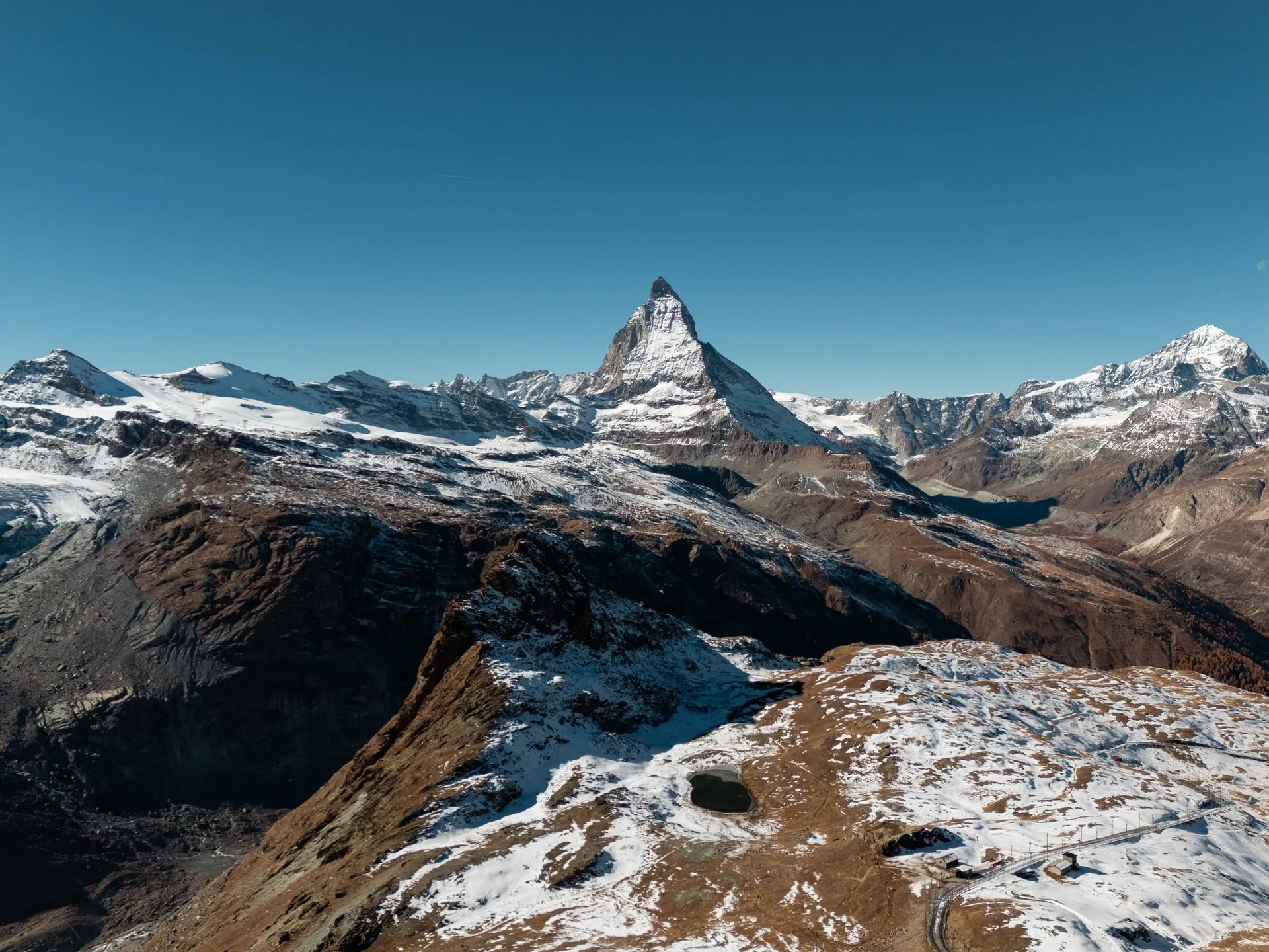
From the Riffelsee to Riffelberg
From the Riffelsee the path leads west and past the north side of a second, smaller lake to a signpost. As far as there the Swiss Topwalk no. 23 and the Riffelseeweg no. 21 run together. After that, according to the Gornergrat Railway, several paths lead to Riffelberg, and its tour on the Riffelseeweg takes the westernmost one via Gagenhaupt. At the signpost we stayed on the Swiss Topwalk, which leads north from there down to Riffelberg.
We walked over snowy meadows. The snow was about 15 centimetres deep. In high hiking boots it was just about fine, but in low shoes Julian soon had snow in his socks. According to Zermatt Tourism Riffelberg station lies at 2582 metres, and the Riffelhaus 1853 hotel stands near the station.
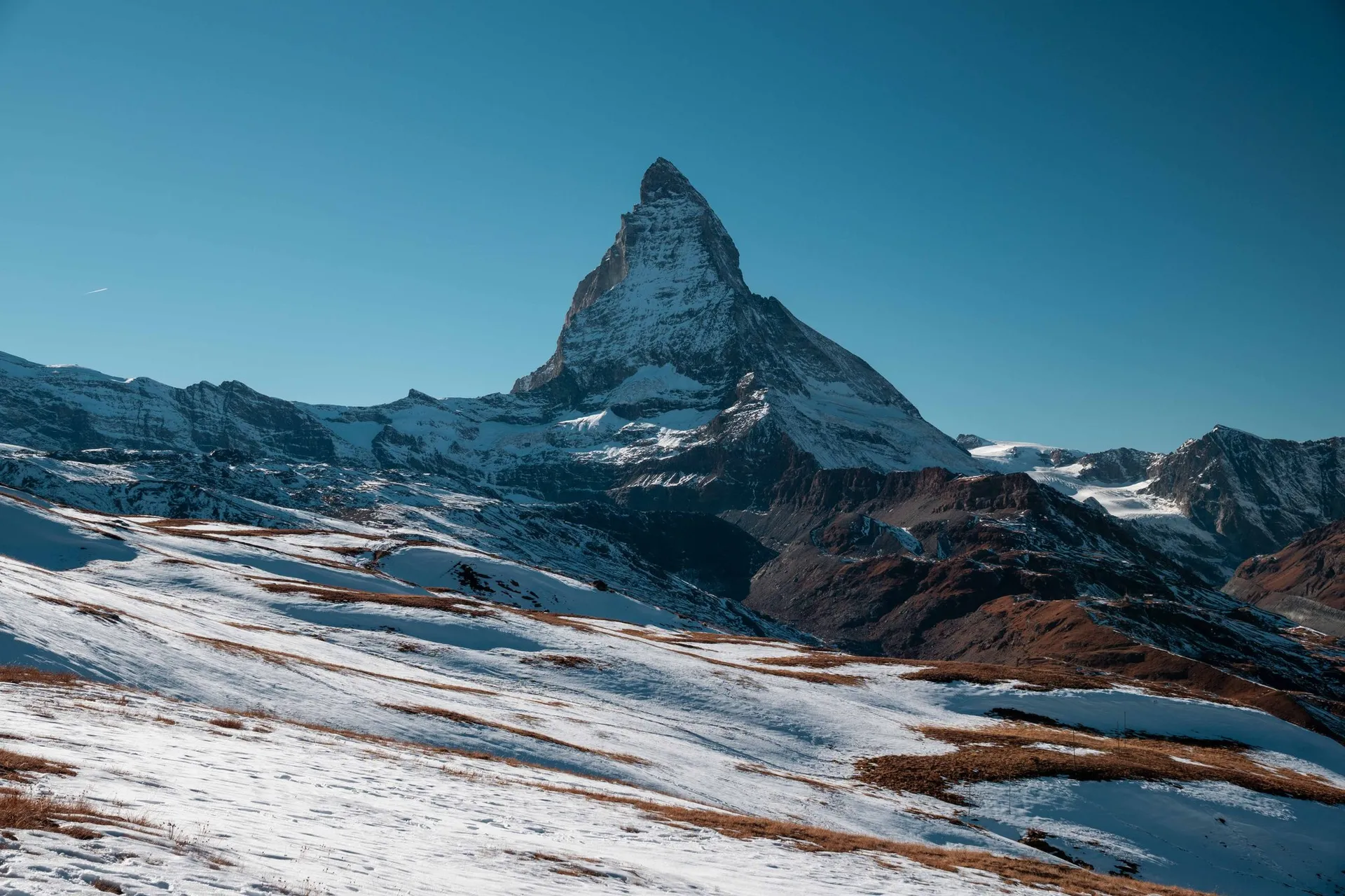
From Riffelberg to Riffelalp
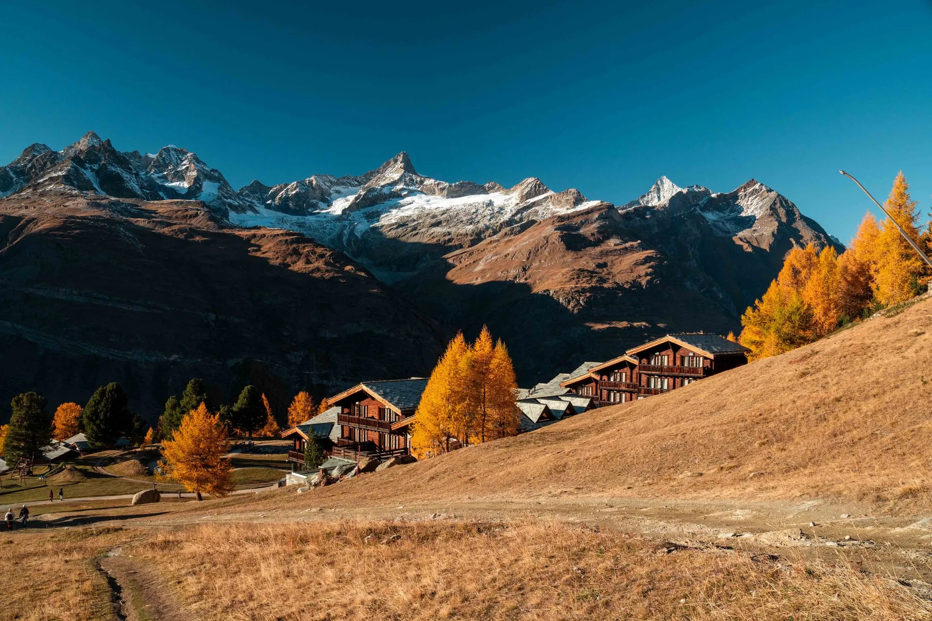
West of Riffelberg station the Swiss Topwalk and the Mark Twain Path no. 18 first run together. Soon the Mark Twain Path branches off. Zermatt Tourism gives 3.4 kilometres and 50 minutes for it from Riffelberg to Riffelalp. We stayed on the Swiss Topwalk. It zigzags down beside the Riffelberg-Express gondola and then leads through the larches to the Riffelalp Resort. On the last stretch to Riffelalp station both trails run together again, beside the tracks of the Riffelalptram. According to Zermatt Tourism it is the highest tram in Europe.
This trail was closed too. On the shady slopes there was snow, already frozen and very slippery. On one side of the path the ground dropped away steeply all along. We tried to keep one foot on a patch without snow, but a few times it still got dangerous. According to the Gornergrat Railway the trails are always walked at your own risk, and when a trail is marked «closed» it advises against it. The status is set by the municipality of Zermatt.
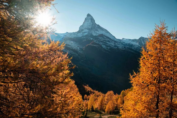
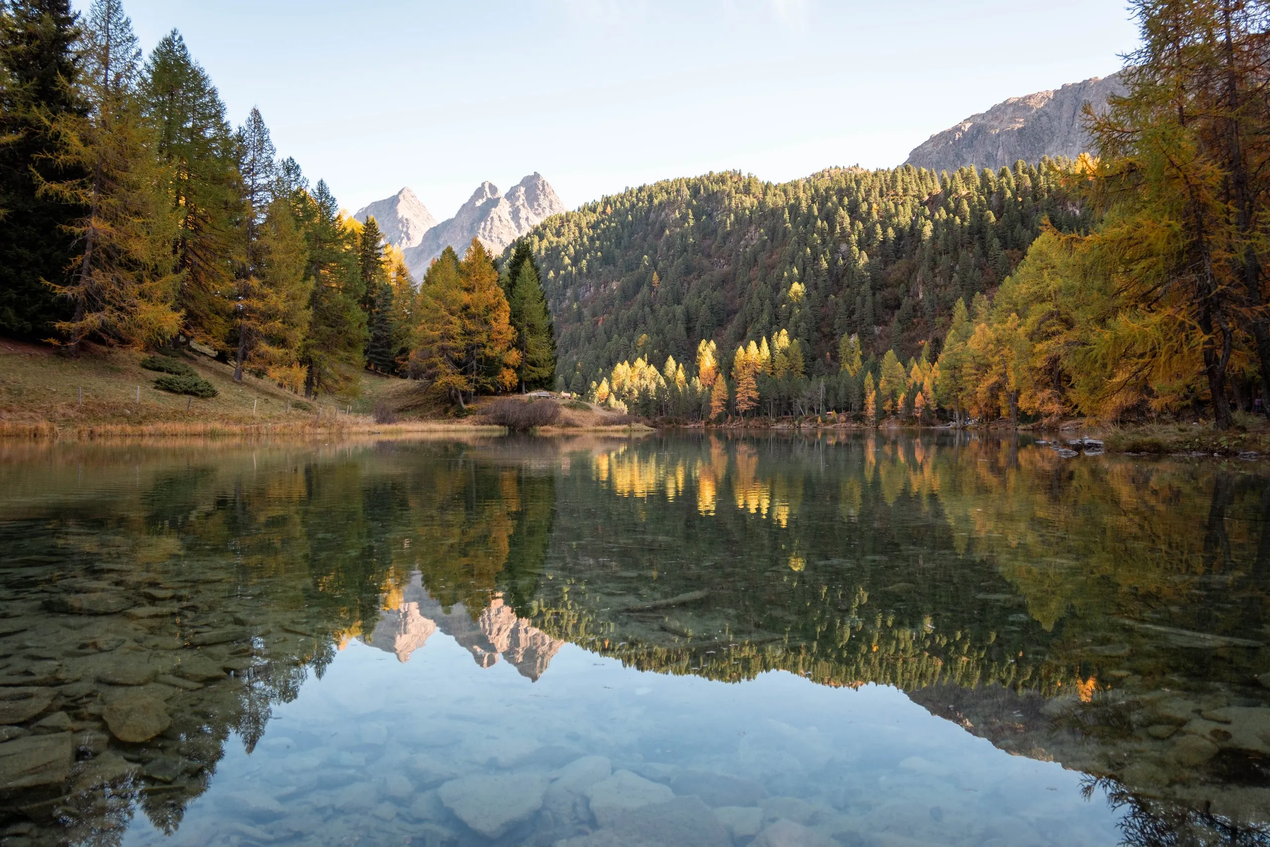
Between the larches above Riffelalp you see the Matterhorn. At the end of October the larches were yellow and orange.
Riffelalp station lies at 2211 metres. We got there shortly before four, the sun was already low, and we took the Gornergrat Railway down to Zermatt.