The Brienzer Rothorn is the highest mountain in the canton of Lucerne. A gondola runs up from Sörenberg, but you can also walk. In August 2026 we climbed from the valley station past the Eisee to the summit, swam in the lake on the way and rode the gondola back down. By early evening we were home, the tour fits comfortably into one day. The UNESCO Biosphere Entlebuch describes the same route in the other direction, from the summit down to Sörenberg, and gives 6.3 kilometres and 1090 metres of descent. It rates the difficulty as moderate. According to the Biosphere, just over half of the route is footpath, the rest track and a tenth road.
Parking and up to the Eisee
We park at the car park by the valley station of the Rothorn cable car in Sörenberg. According to Sörenberg Tourism it is paid, by cash or Twint. You are not allowed to stay overnight unless you are a guest at the Berghaus Eisee or on Rothorn Kulm. Without a car, the Biosphere Entlebuch says to take the train to Schüpfheim and then the PostBus to Sörenberg.
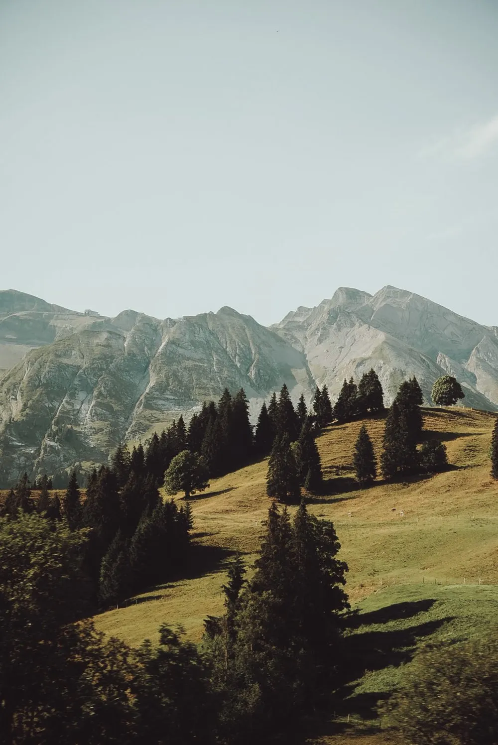
The path starts right behind the car park at the Schönenboden signpost and leads out of the village. At first it climbs the slope in long bends. After only a few minutes Sörenberg lies small below us. Single firs stand across the pastures, the summits sit in the morning haze ahead of us. Further up the path turns narrower and stonier.
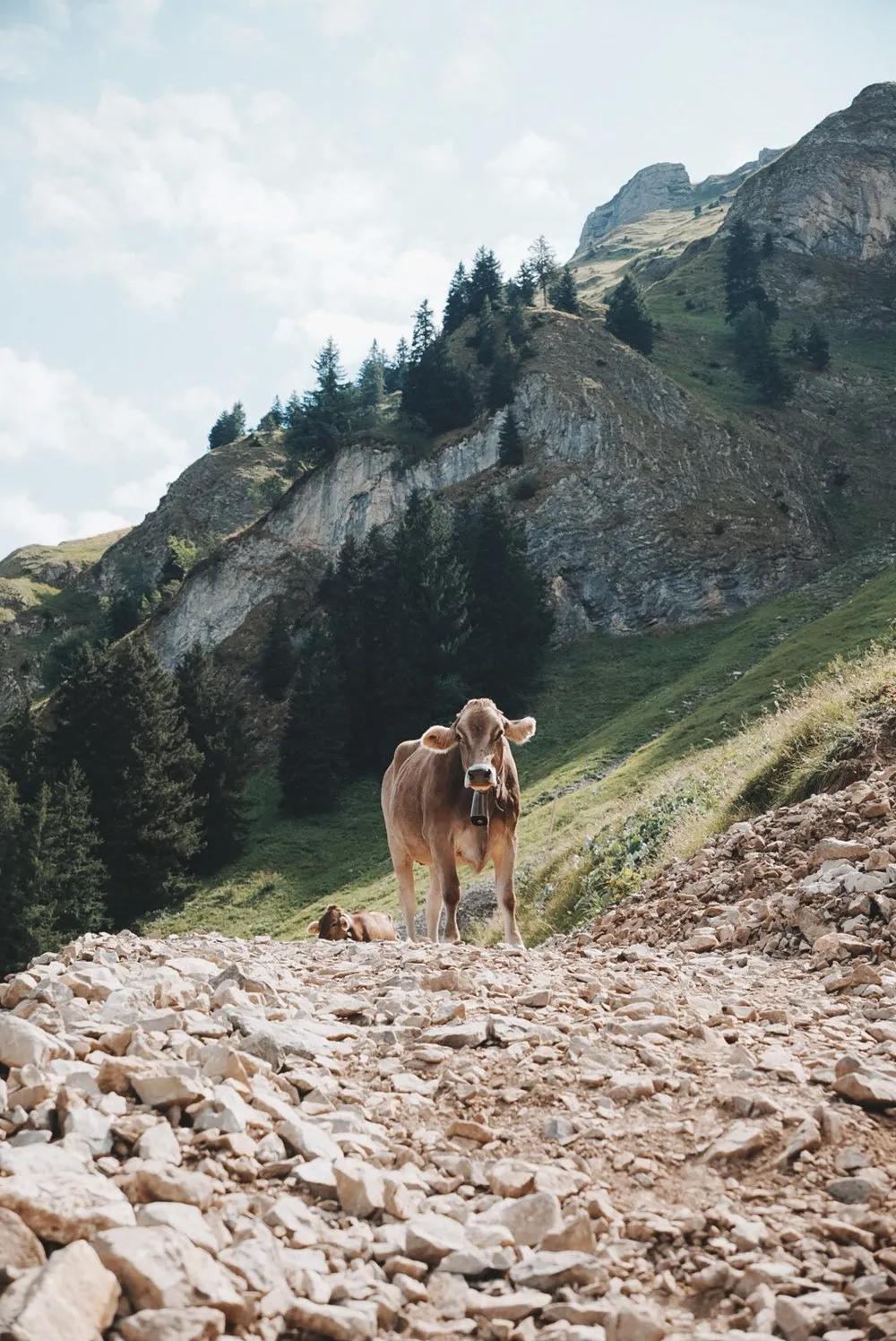
Halfway up we meet the first cows. A brown one with a heavy bell stands in the middle of the scree, right on the path, and does not move aside, a second one lies in the grass next to it. We walk around them in a wide arc. For quite a while after that we hear nothing but the bells and our boots on the loose stones.
At the Eisee
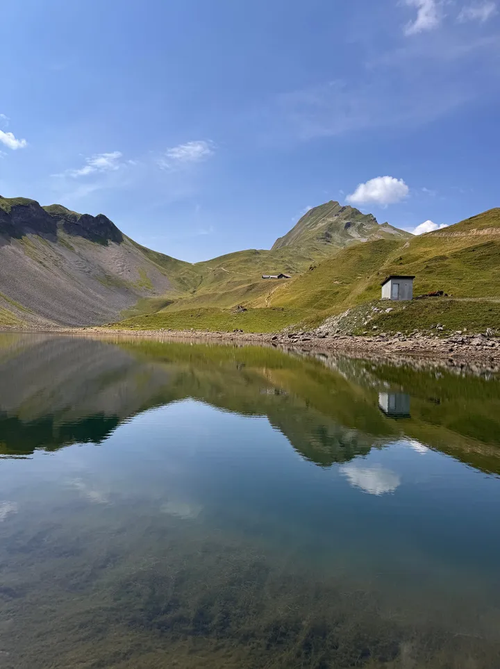
Then a bowl opens up and we are standing above the Eisee. From up here it looks like two lakes meeting at a narrow spit of land. One basin is dark, the other has a rim pale as sand, and light scree climbs to the cliffs all around. The path leads down to the shore, where a small hut stands by the water. When we got down to it, the water lay so still that the whole cirque was reflected in it, mountain, hut and the first clouds.
We went for a swim in the Eisee. The water is cold, exactly as you would expect from a mountain lake at this altitude, and the first few metres take some willpower. After that it is wonderful. Once dressed we shivered for a moment and then walked on. If you want to swim, pack a towel.
To the summit and back by gondola
The second half of the climb is steeper. Beyond the lake the path leads to the Eiseesattel. From there it is a white-red-white marked mountain trail and zigzags up the flank. The scree grows coarser until you stand on top of the Brienzer Rothorn. According to OpenStreetMap the summit is at 2348 metres.
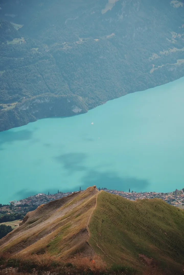
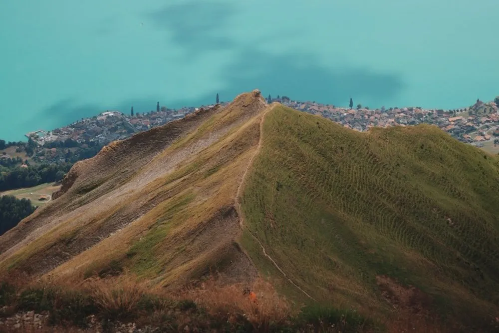
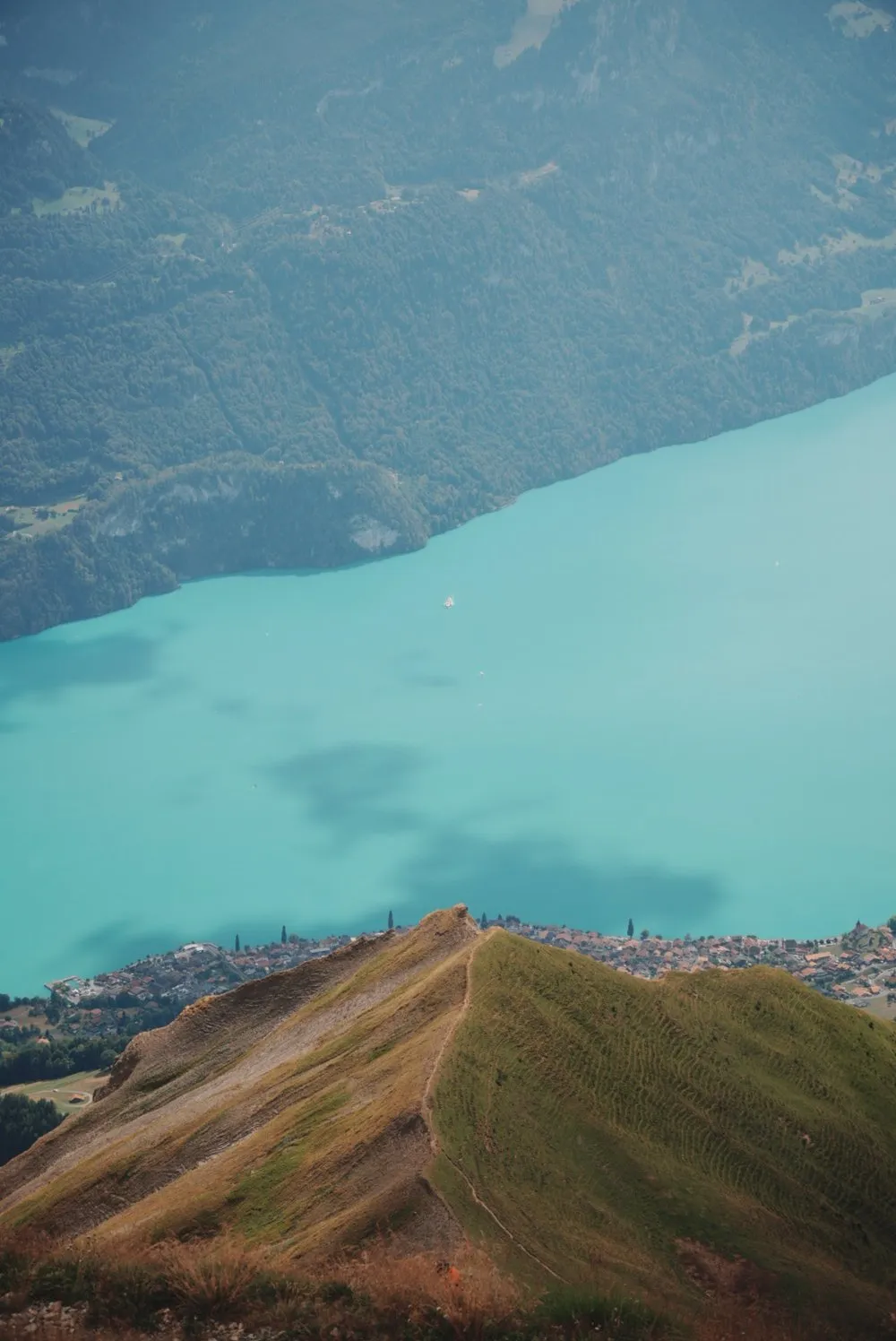
From the top the view drops far down onto Lake Brienz. For us it lay in a turquoise that barely looked real, from pale green at the edge to deep blue in the middle, with the villages lined up along the shore. We stood there for quite a while and simply looked down. It did not stay that way for long. Clouds pushed over the ridge from the west, the lake lost its colour and it turned noticeably cooler.
There is a café at the summit. We had an ice cream and a homemade iced tea there while outside the haze slowly closed up the view. For the way back we take the gondola. In a few minutes it brings us down to Sörenberg and back to the car. If you want to walk down, take the same route back, the way the UNESCO Biosphere Entlebuch describes it.
According to Swiss Parks the tour is possible from June to October, the Biosphere Entlebuch calls it possible all year, depending on the weather. We went in mid August.