46.7871° N 8.0466° E
Brienzer Rothorn
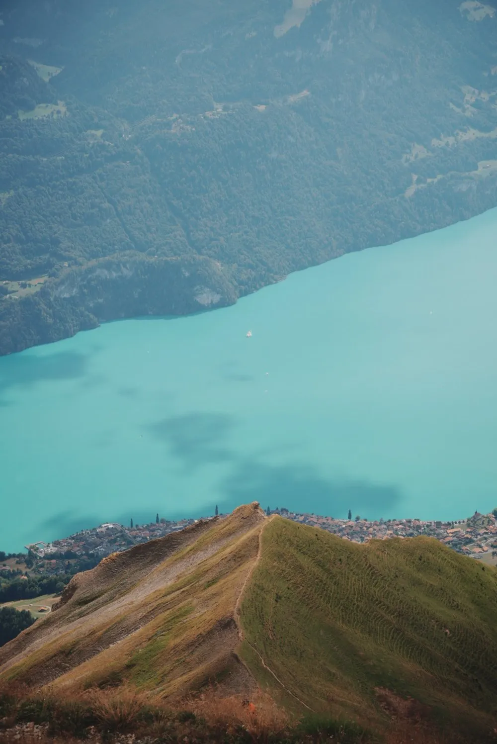
From the ridge the view drops far down onto Lake Brienz, lying in an almost unreal turquoise. On foot from Sörenberg or by gondola, with a café at the top.
- Best time
- Late morning, before the clouds build · June to October
- Country
- Switzerland
- Latitude
- 46.7871° N
- Longitude
- 8.0466° E
On site
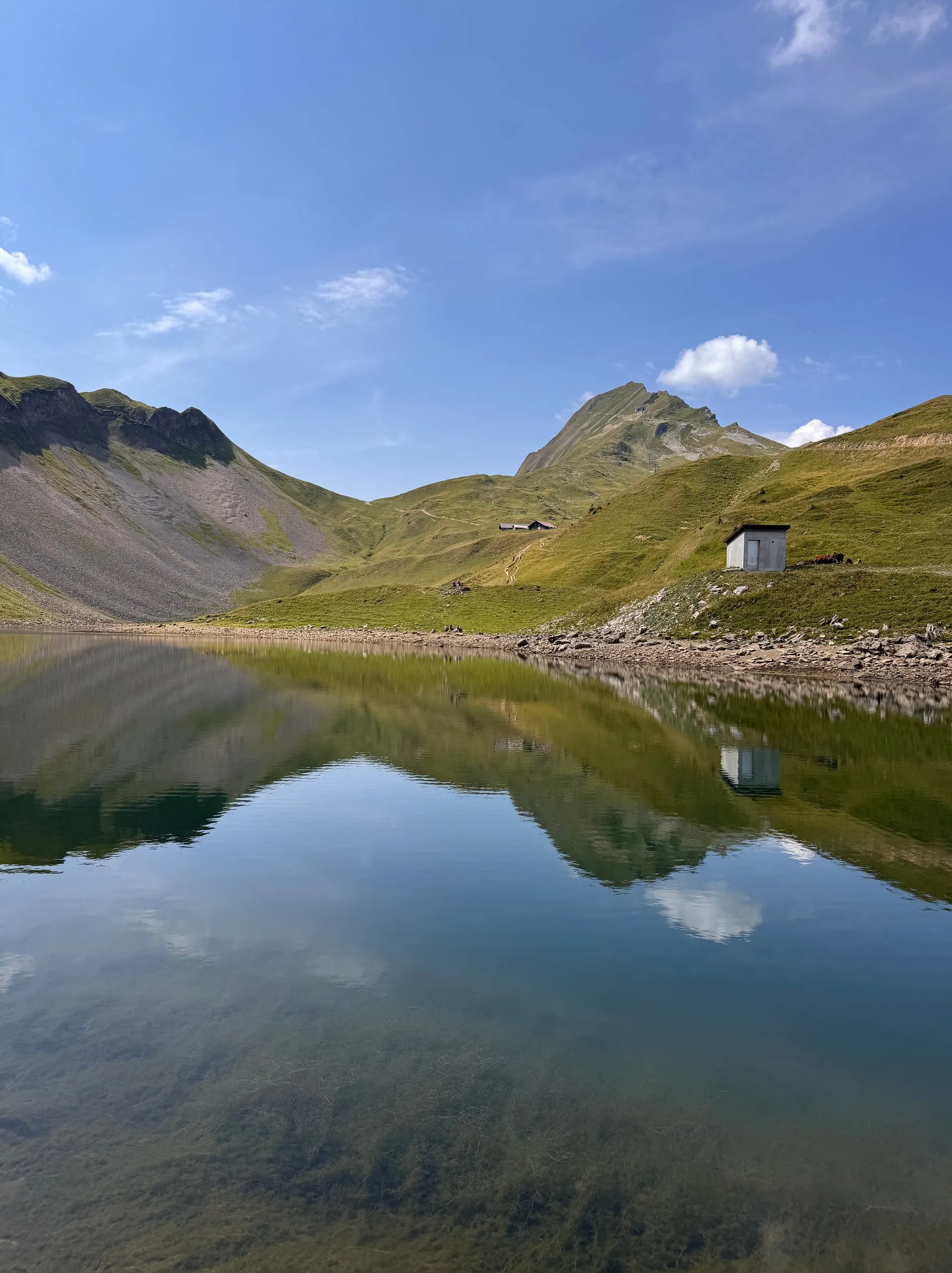
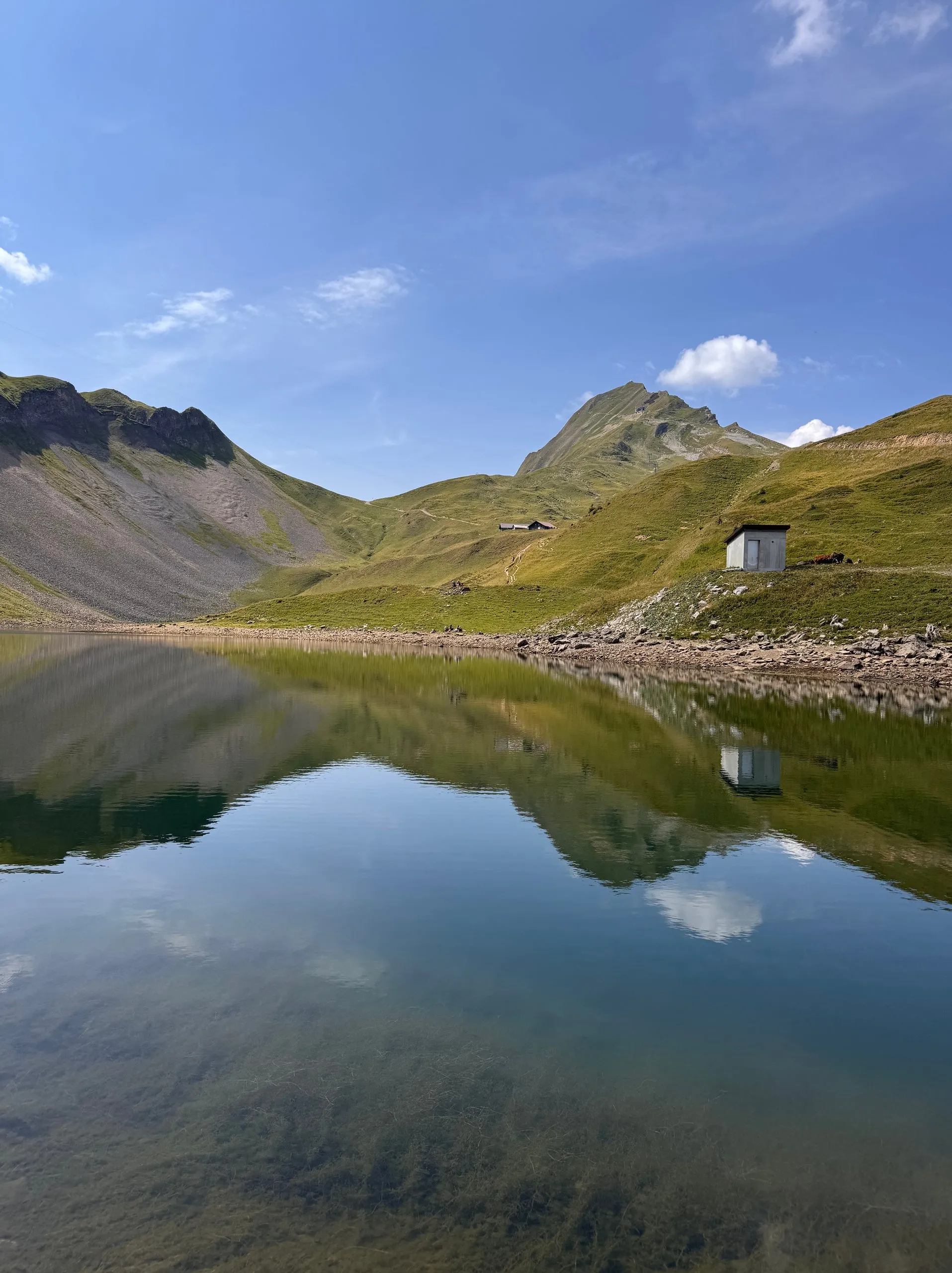
The Brienzer Rothorn is the highest mountain in the canton of Lucerne, and according to OpenStreetMap its summit stands at 2348 metres. A gondola runs up from Sörenberg. In mid-August 2026 we walk up from the valley station via the Eisee, around 1100 metres of ascent. The UNESCO Biosphere Entlebuch gives 6.3 kilometres and 1090 metres of descent for the same route.
Beyond the Eisee the climb gets steeper. From the Eiseesattel the path is a white-red-white marked mountain trail and zigzags up the flank, and the scree grows coarser. From the top the view drops far down onto Lake Brienz. It lies in a turquoise that barely looks real, from pale green at the edge to deep blue in the middle, and the villages are strung out along the shore. We stand there for quite a while and look down.
It does not stay that way for long. Clouds push over the ridge from the west, the lake loses its colour and it turns noticeably cooler. In the café at the summit we have an ice cream and a homemade iced tea while the haze gradually blots out the view. We take the gondola down to Sörenberg, which takes only a few minutes.
This sends your IP address to the OpenStreetMap Foundation. You can change it any time in the .
Brienzer Rothorn 46.7871° N 8.0466° E