46.4043° N 10.1392° E
Lagh da Val Viola
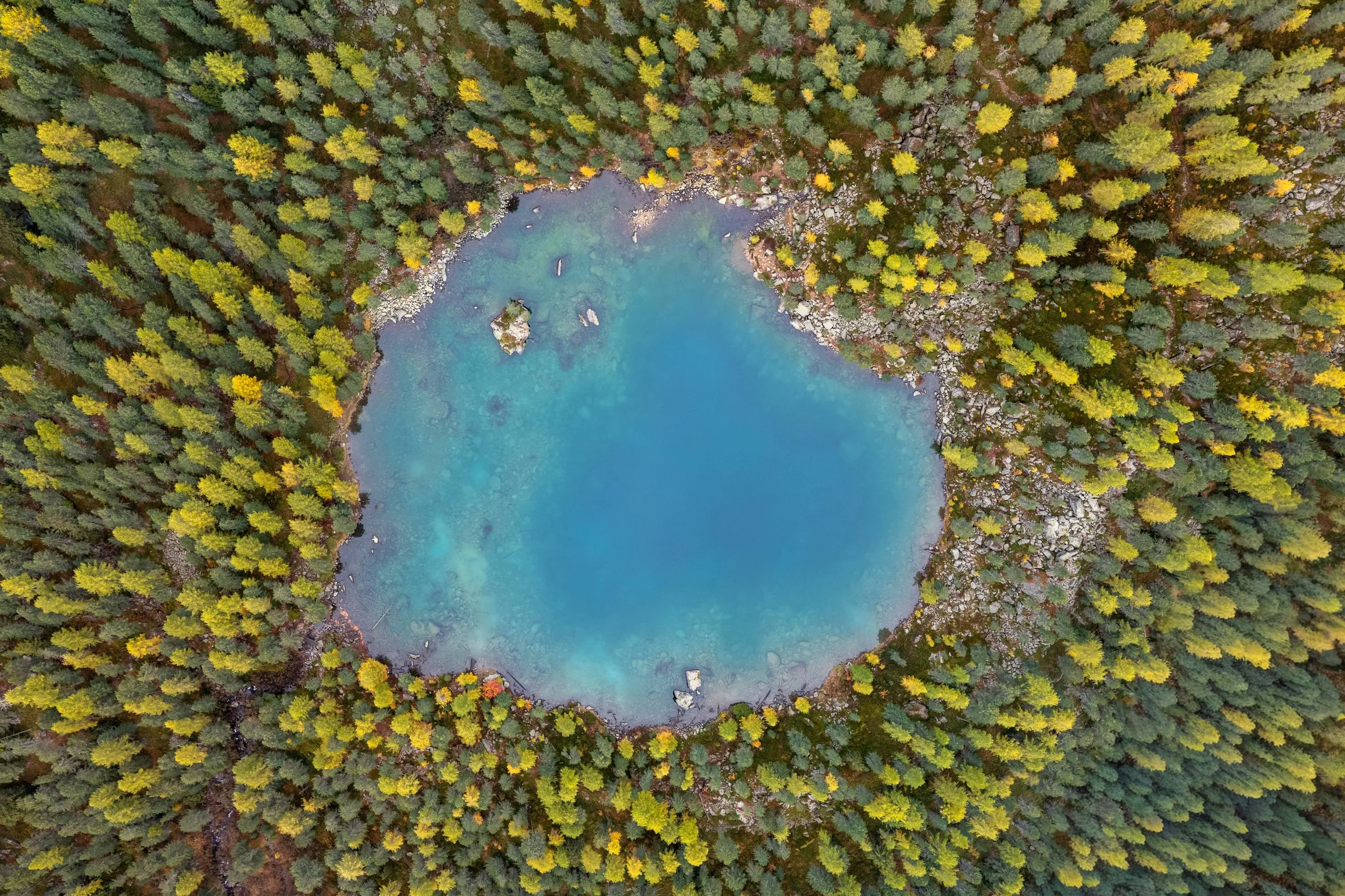
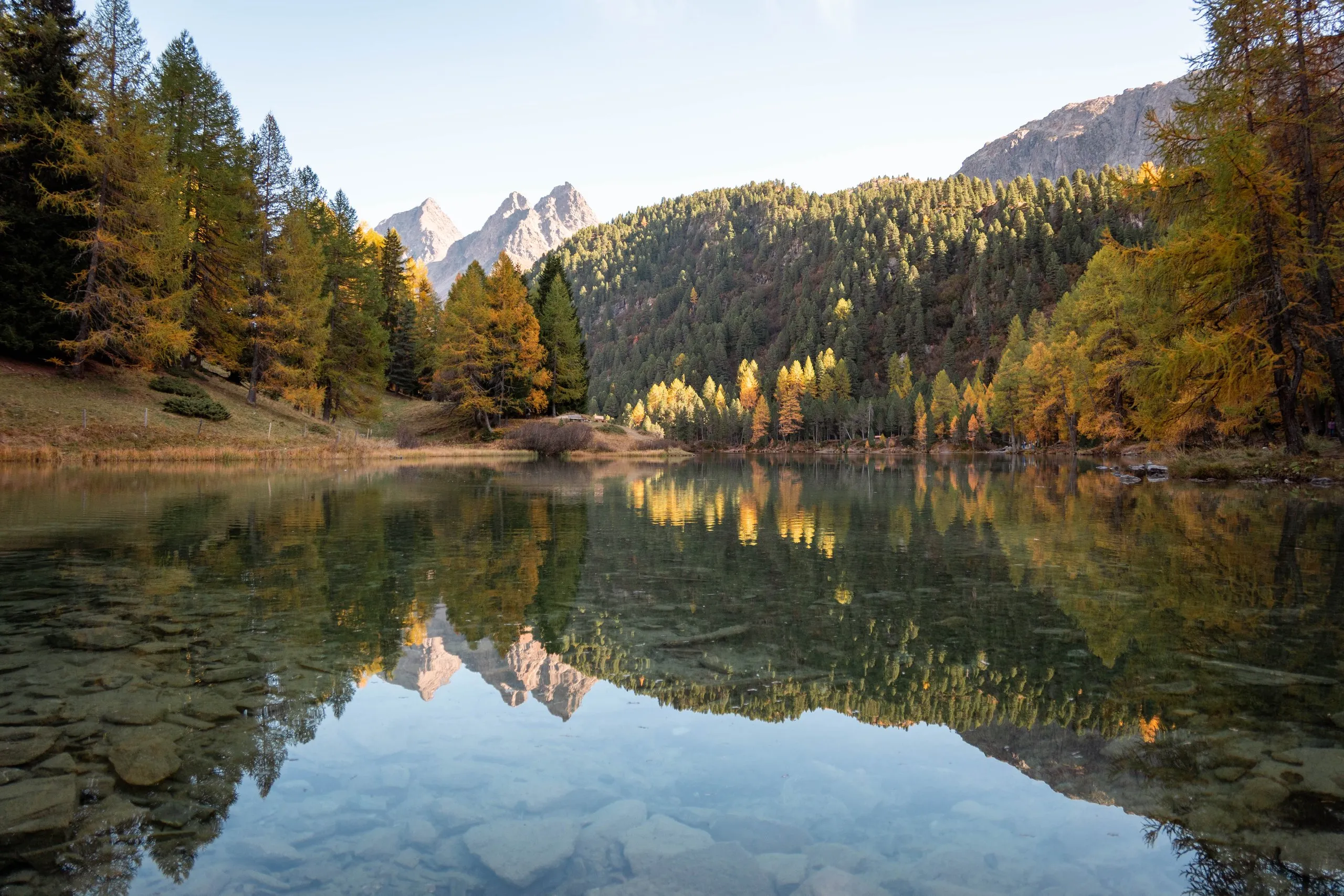
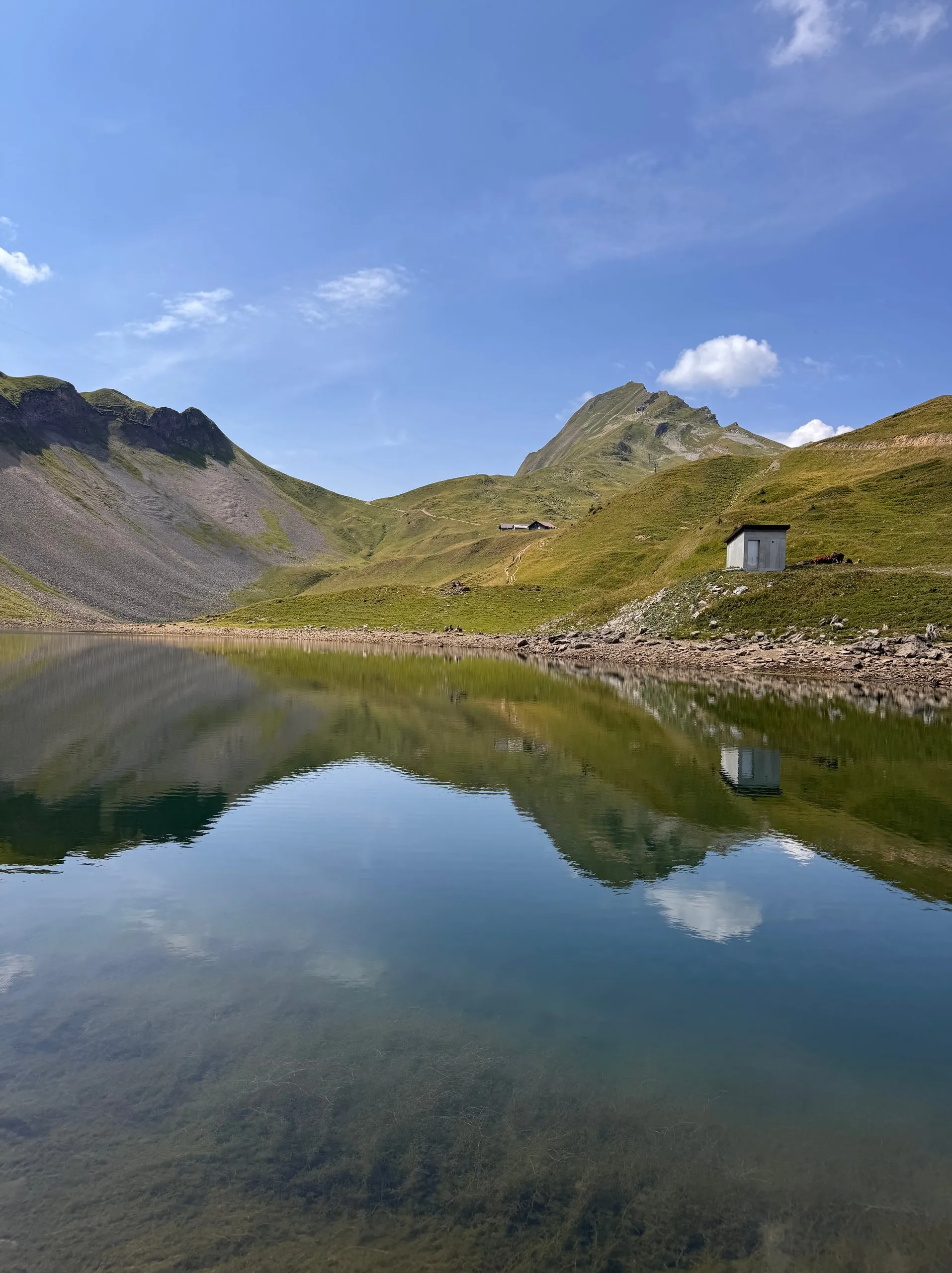
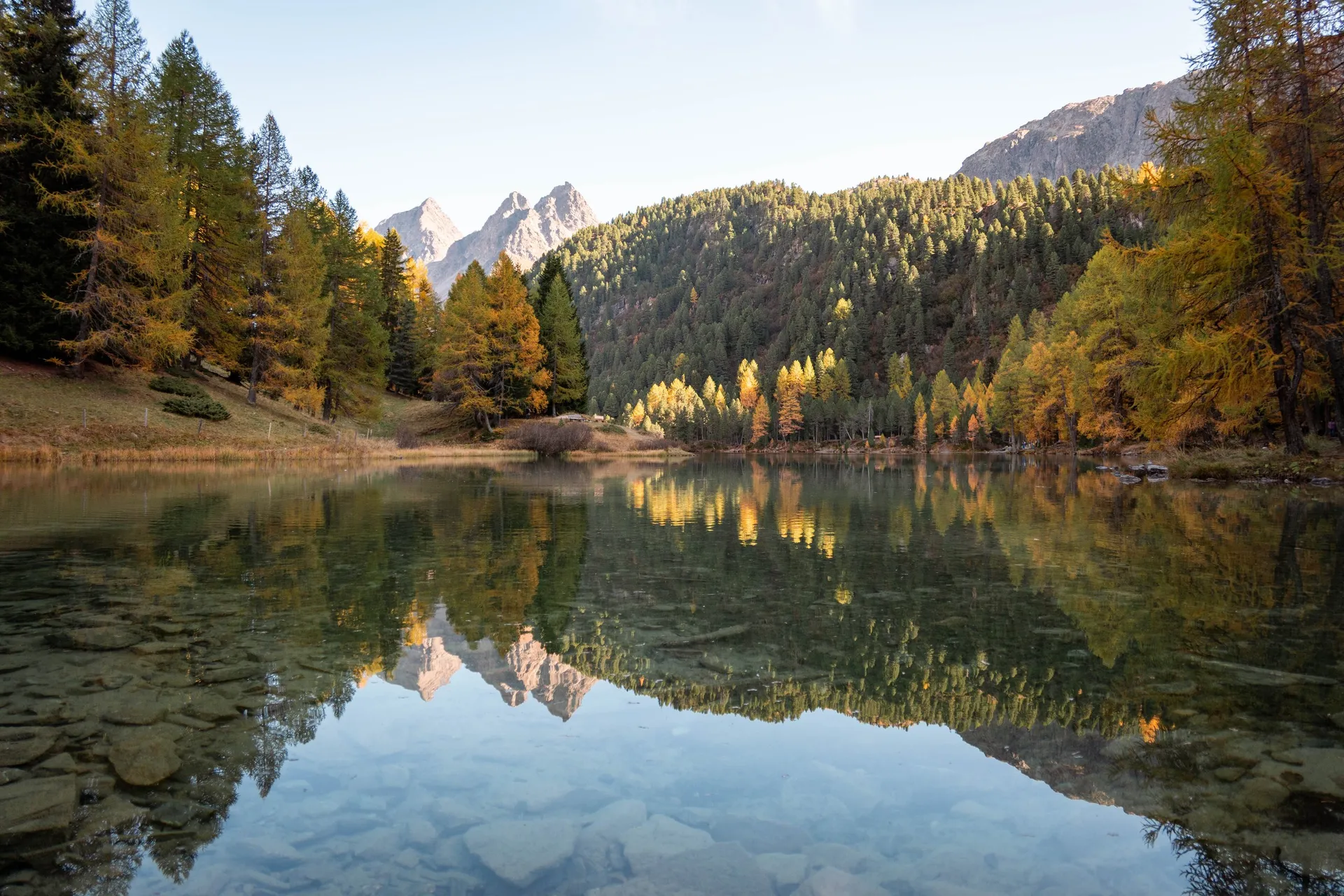
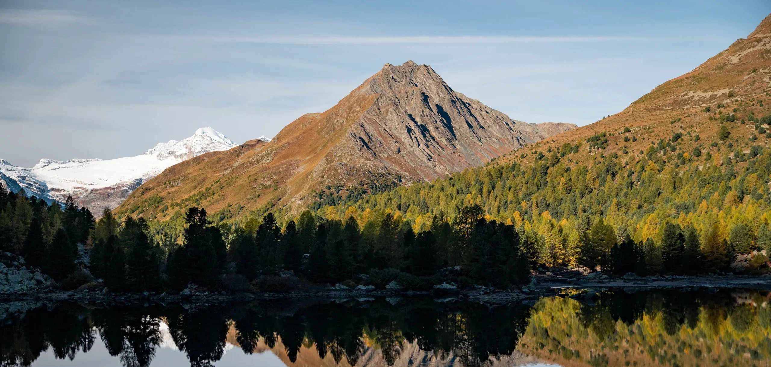
A mountain lake at 2159 metres at the top of the Val da Camp. Its calm water mirrors the rock pyramid of the Corn da Mürasciola, with the Bernina group behind.
- Best time
- Morning, when the lake is calm · October with yellow larches
- Country
- Switzerland
- Latitude
- 46.4043° N
- Longitude
- 10.1392° E
On site
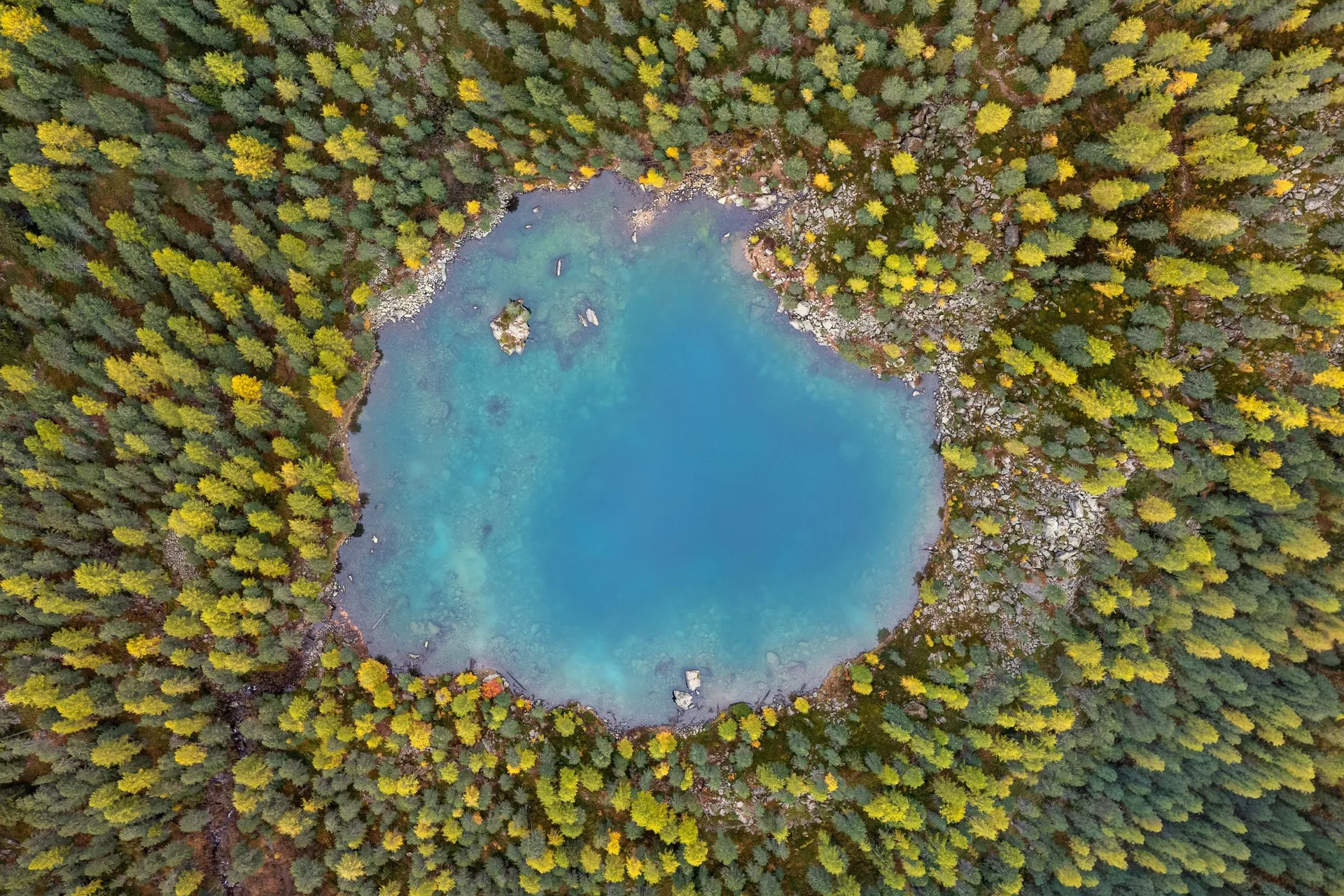
Lagh da Val Viola lies in the uppermost part of the Val da Camp, which here is itself called Val Viola. At a good nine hectares it is the largest lake in the valley, almost four times the size of Lagh da Saoseo, but less well known. A small island can be reached along a causeway. Above the lake lies the Pass da Val Viola on the border with Italy.
On 11 October 2026 we walk from Rifugio Saoseo first to Lagh da Saoseo and from there on the longer path to this lake. The forest path is frozen in the morning and leads through yellow larches, and it takes us an hour and a half. According to Swiss Hiking Trails the path climbs fairly steeply by 200 metres, first in the forest, then above the tree line.
The lake is very calm. To the west the rock pyramid of the Corn da Mürasciola is reflected in the water, with the snow-covered peaks and glaciers of the Bernina group behind it on the left. A narrow path marked white-red-white runs along the shore to the northern side. On a gravel shore the four of us line up for a photo, and as it is already almost 11 am, we have our picnic by the lake. According to Swiss Hiking Trails the slope on the eastern shore is quite steep and getting to the water there is not easy. For a rest they recommend the large, flat meadow west of the lake.
This sends your IP address to the OpenStreetMap Foundation. You can change it any time in the .
Lagh da Val Viola 46.4043° N 10.1392° E