46.3981° N 10.1262° E
Lagh da Saoseo
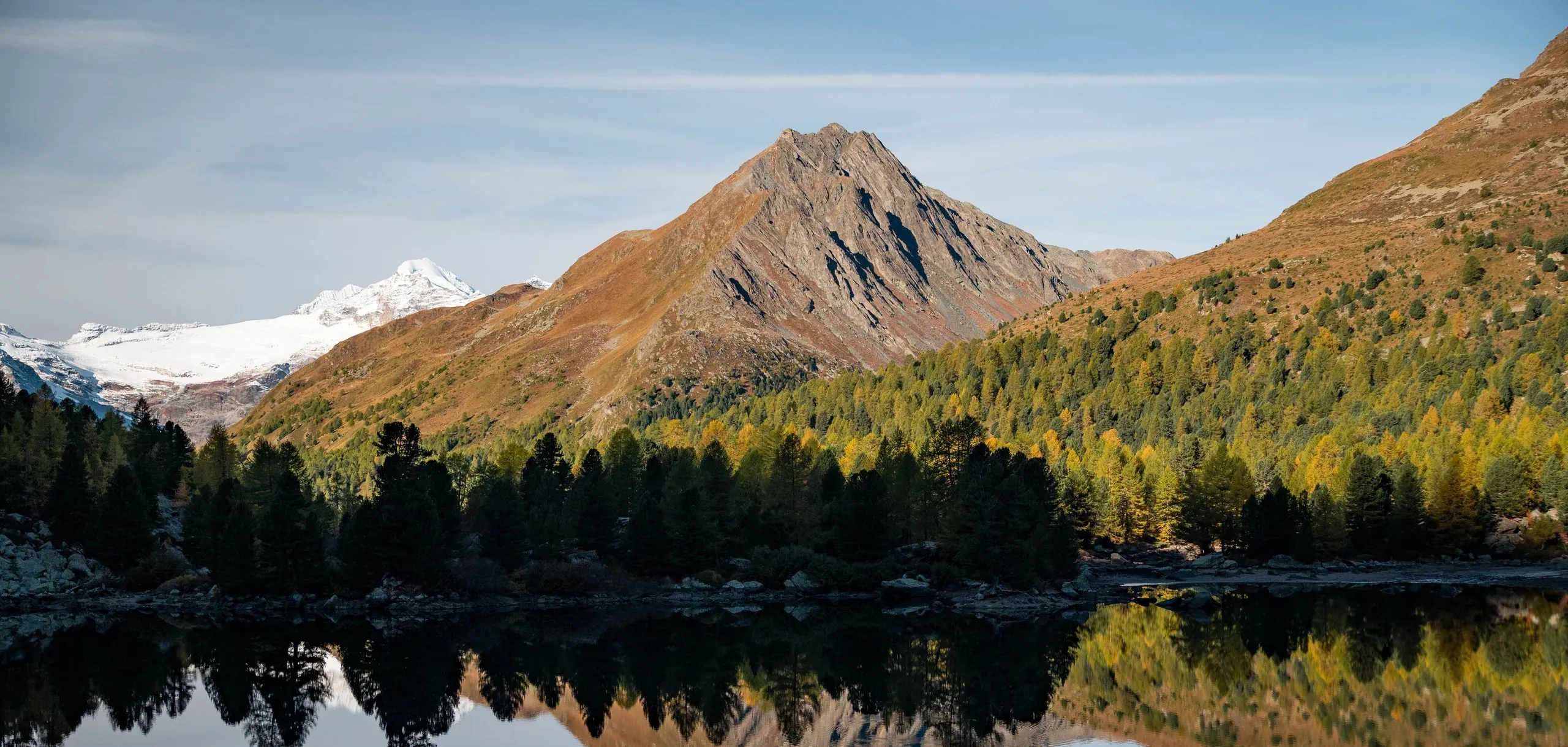
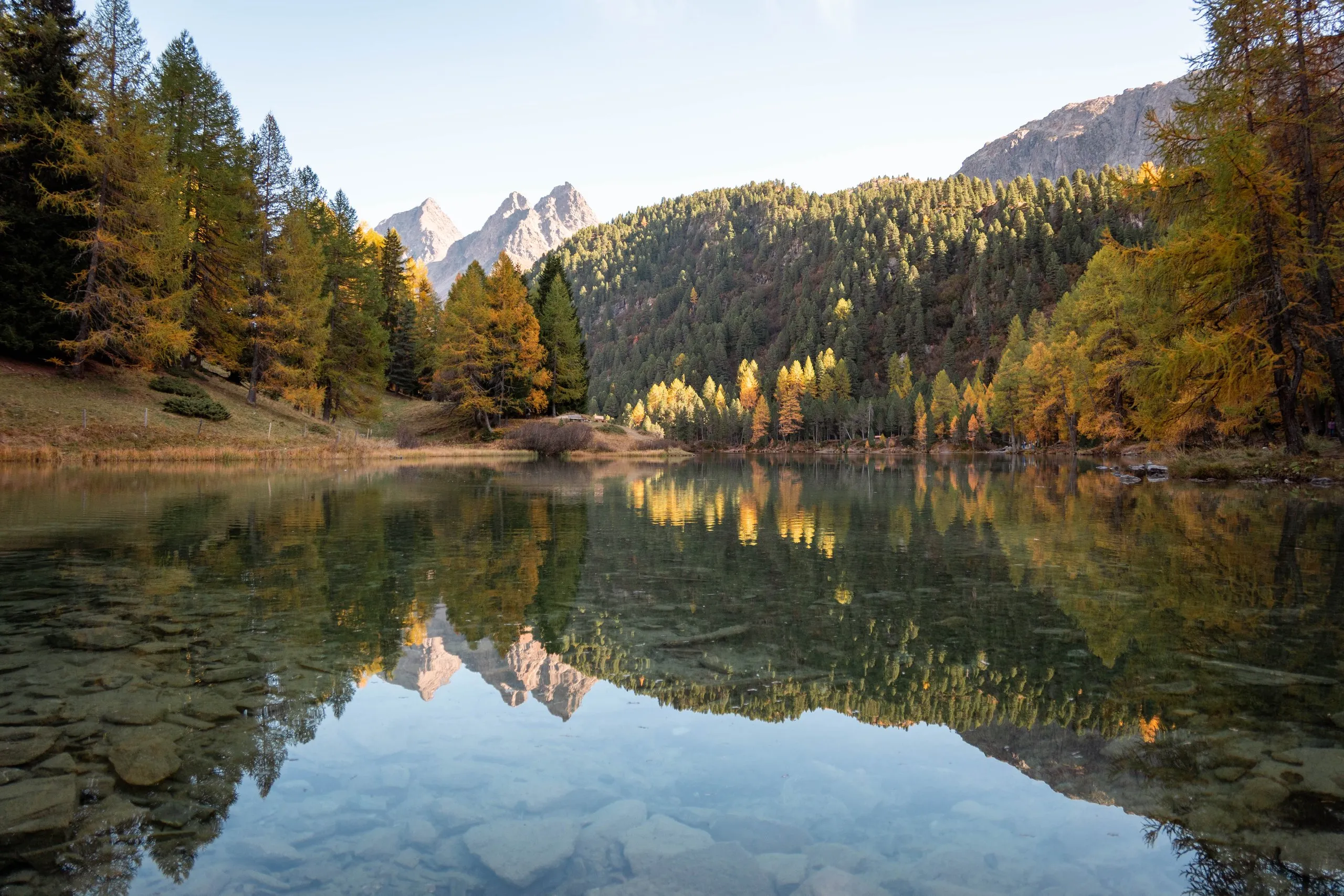
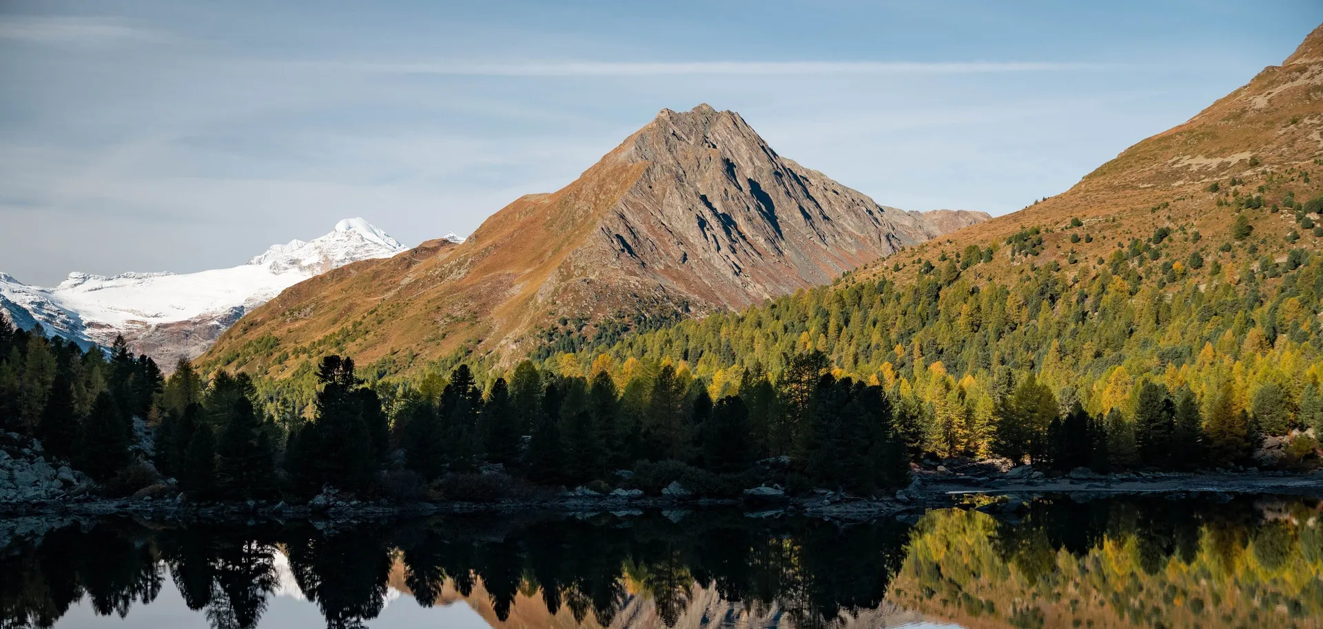
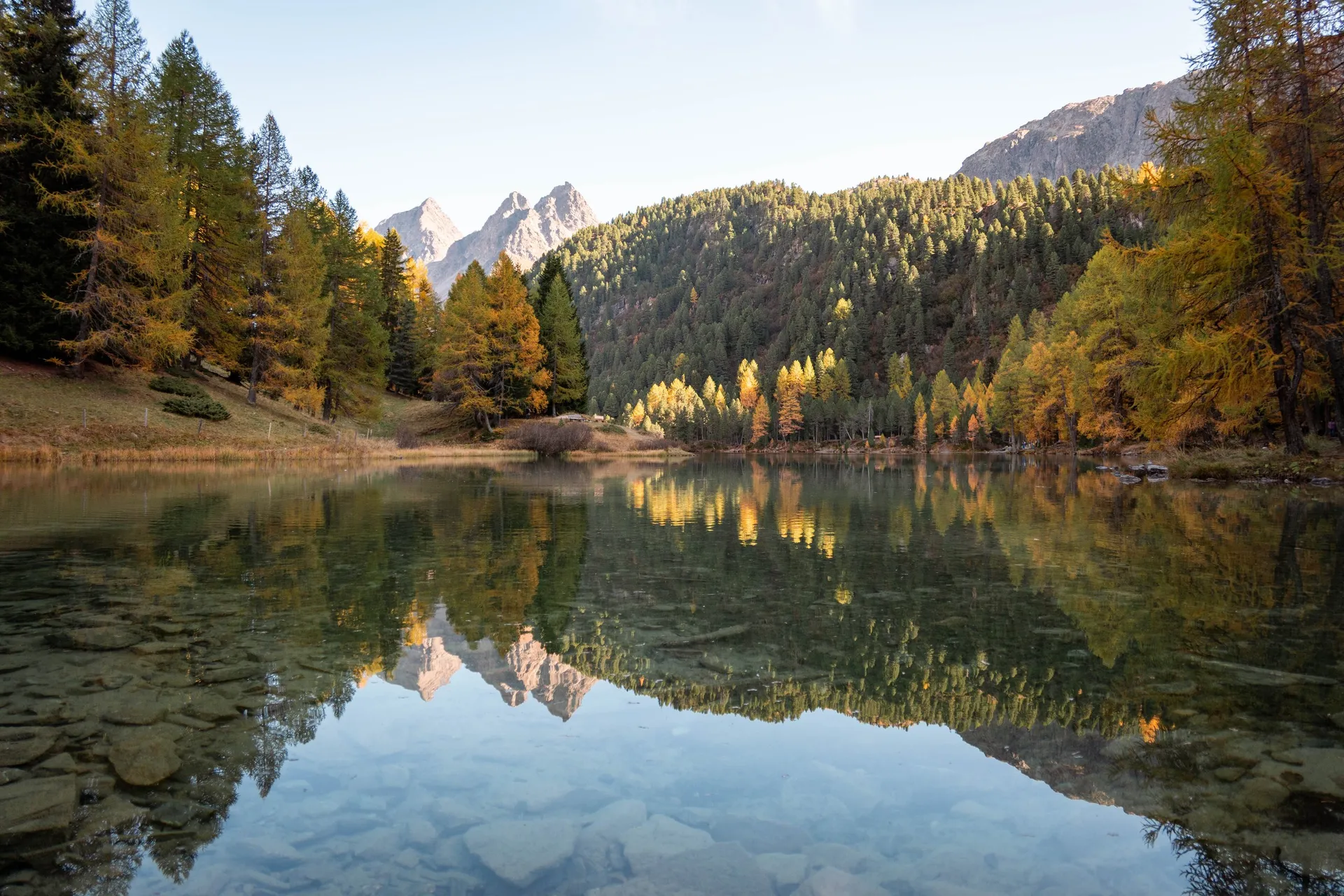
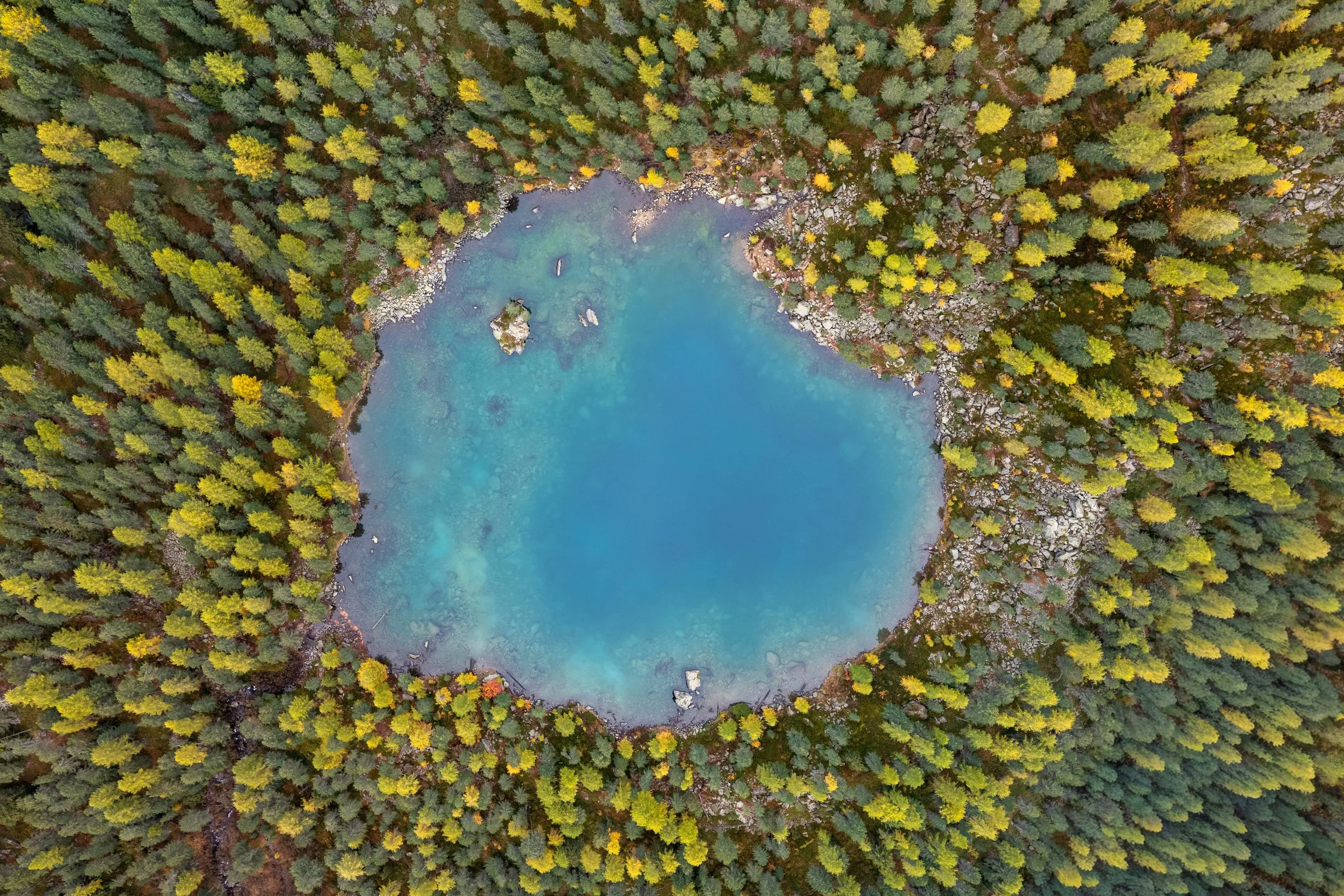
A round, turquoise lake in the larch and stone pine forest of the Val da Camp, reached only on foot. In October it mirrors yellow larches and snowy peaks.
- Best time
- October, when the larches are yellow · around midday for the turquoise water
- Country
- Switzerland
- Latitude
- 46.3981° N
- Longitude
- 10.1262° E
On site
Lagh da Saoseo lies at 2028 metres in a wooded hollow in the Val da Camp, a side valley of the Valposchiavo. It covers only about two and a half hectares, but it is up to 17 metres deep. On 10 October 2026 we park with our friends Markus and Sabrina at Sfazù on the Bernina road and walk up the hiking trail through yellow larches and Swiss stone pines. According to Rifugio Saoseo, this path takes two hours to the hut.
When we arrive, the rain stops and the lake is almost as smooth as a mirror. From the northern shore we see the freshly snow-covered pinnacles of the Scima da Saoseo above the forest, and the grey rock mass of the Scima da Rügiul. Near the northern shore a boulder sticks out of the water as a tiny island. Only the drone shows how round the lake lies in the forest.
There is no inflow above ground. The lake is fed by groundwater and is so clear that you can see boulders and sunken tree trunks on the bottom. The next morning we are back on the shore after about 15 minutes from the hut. At that hour it still lies in blue shade, and only the snow-covered peaks to the west are already in the sun. At midday the sun reaches the water and it glows turquoise. We go for a swim. A short way on lies Alp Camp with the Ristoro Alpe Campo.
This sends your IP address to the OpenStreetMap Foundation. You can change it any time in the .
Lagh da Saoseo 46.3981° N 10.1262° E