46.5817° N 9.7861° E
Lai da Palpuogna
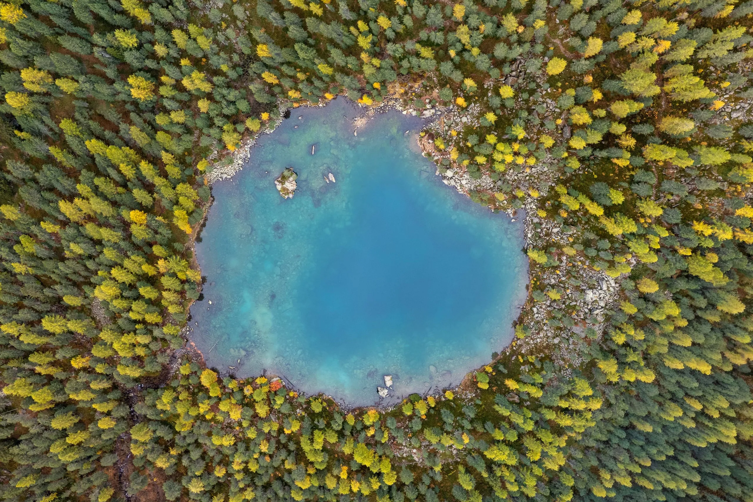
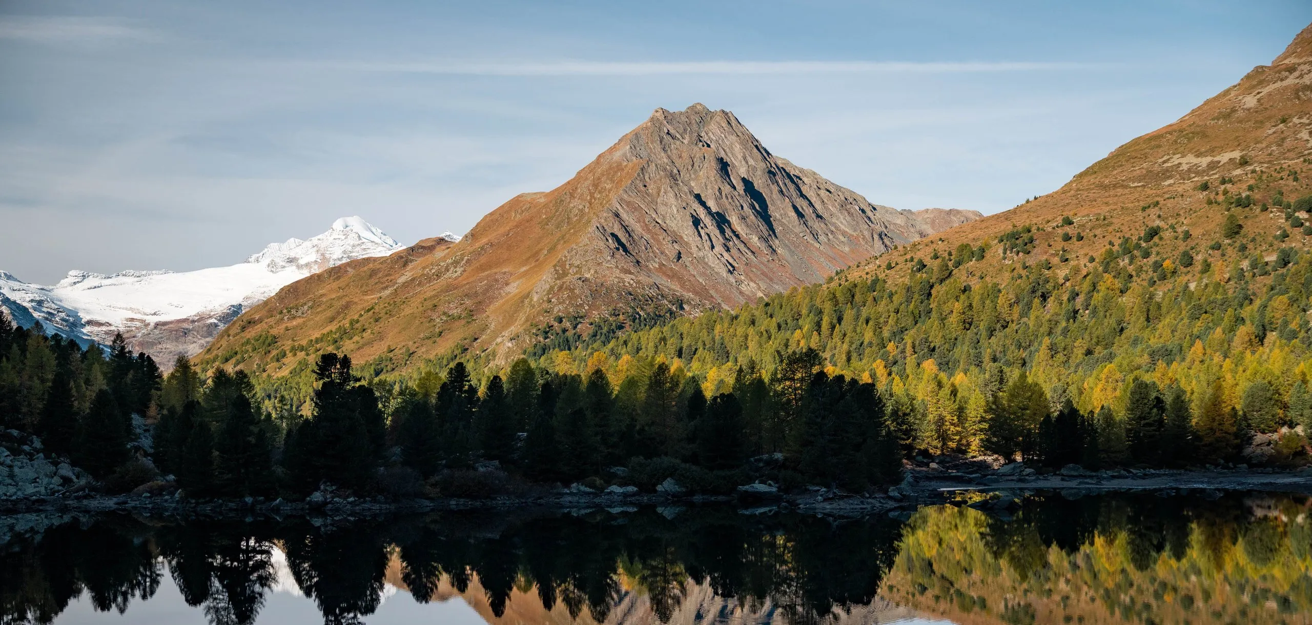
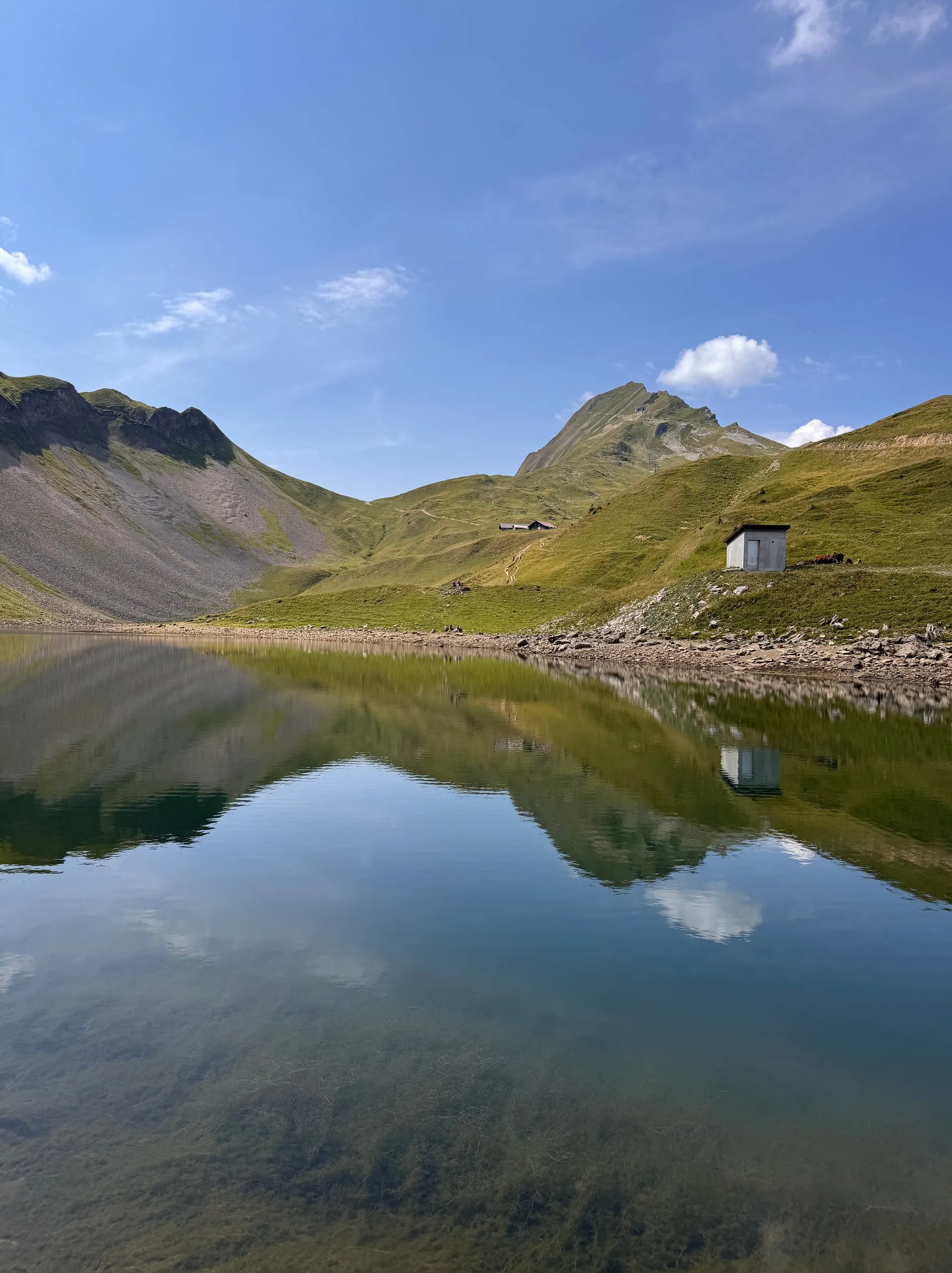
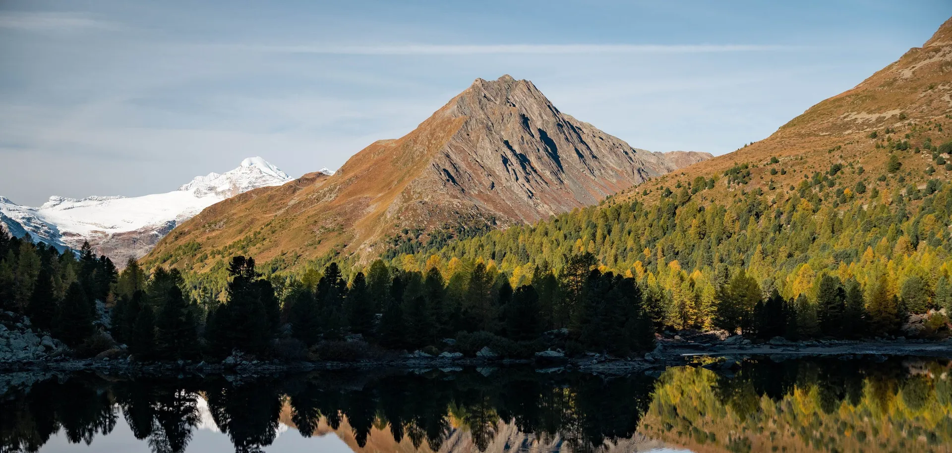
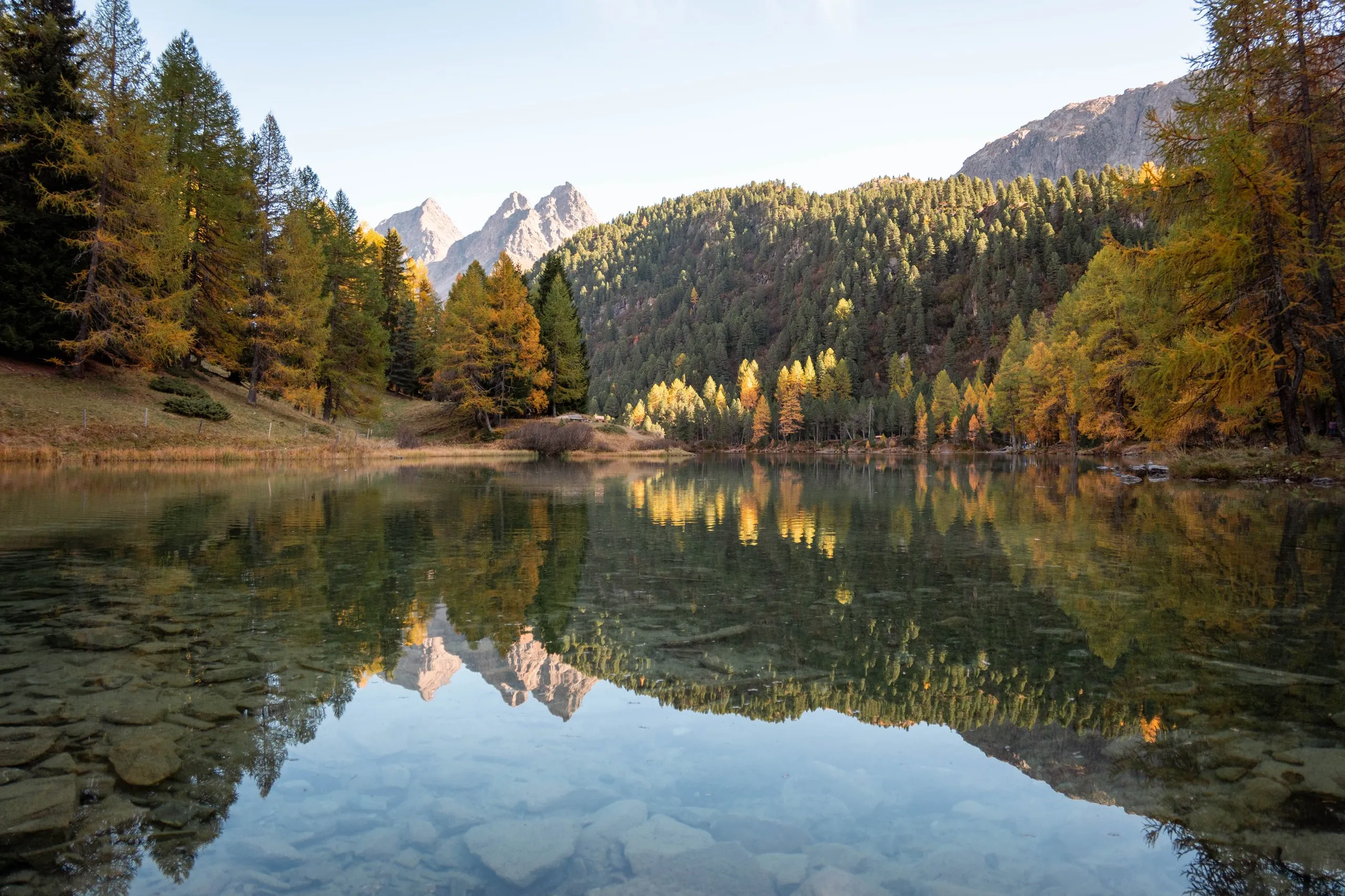
A mountain lake at 1918 metres, almost 130 metres above Preda station. In October the lake mirrors yellow larches and the double summit of the Dschimels.
- Best time
- Mid-October, when the larches are yellow
- Country
- Switzerland
- Latitude
- 46.5817° N
- Longitude
- 9.7861° E
On site
Lai da Palpuogna, Palpuognasee in German, lies at 1918 metres above Preda in the Albula valley and is about 500 metres long. In mid-October 2026 Nicolas walks up from Bergün with his friend Julian along the viaducts of the Albula Railway to Preda. From the station, where the railway disappears into the Albula Tunnel, the path continues up to the lake, almost 130 metres higher.
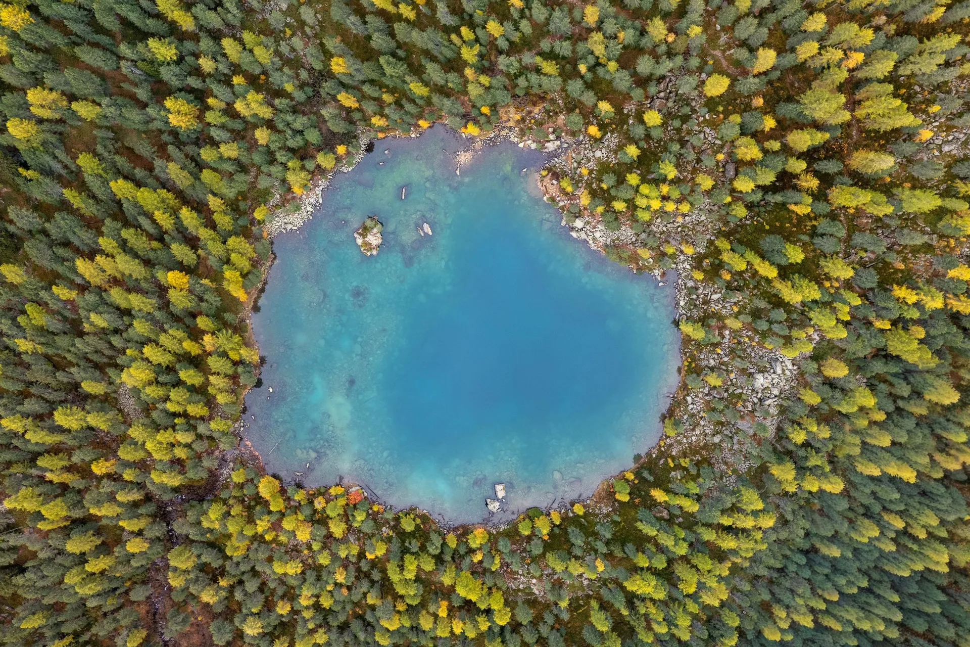
Shortly before half past two the two of them stand at the north-western end. By then the lake, except for its south-eastern end, already lies in the shadow of Piz Palpuogna, which rises to the south-west above it. The still water reflects the yellow larches and the double summit of the Dschimels, and near the shore you can see the stones on the bottom. The larch is the only native conifer that turns yellow in autumn and sheds its needles, and according to the Graubünden tourist board its colour is most vivid around mid-October.
In 2007 the lake was voted the most beautiful place in Switzerland in a poll by the Swiss TV channel SF 1. Since 1898 it has supplied water to the power station in Preda, which first generated electricity for building the Albula Tunnel. Swimming is not allowed. East of the lake lies a fen meadow with golden grass, and from there you can see Piz Ela down the valley.
This sends your IP address to the OpenStreetMap Foundation. You can change it any time in the .
Lai da Palpuogna 46.5817° N 9.7861° E