46.4408° N 8.0920° E
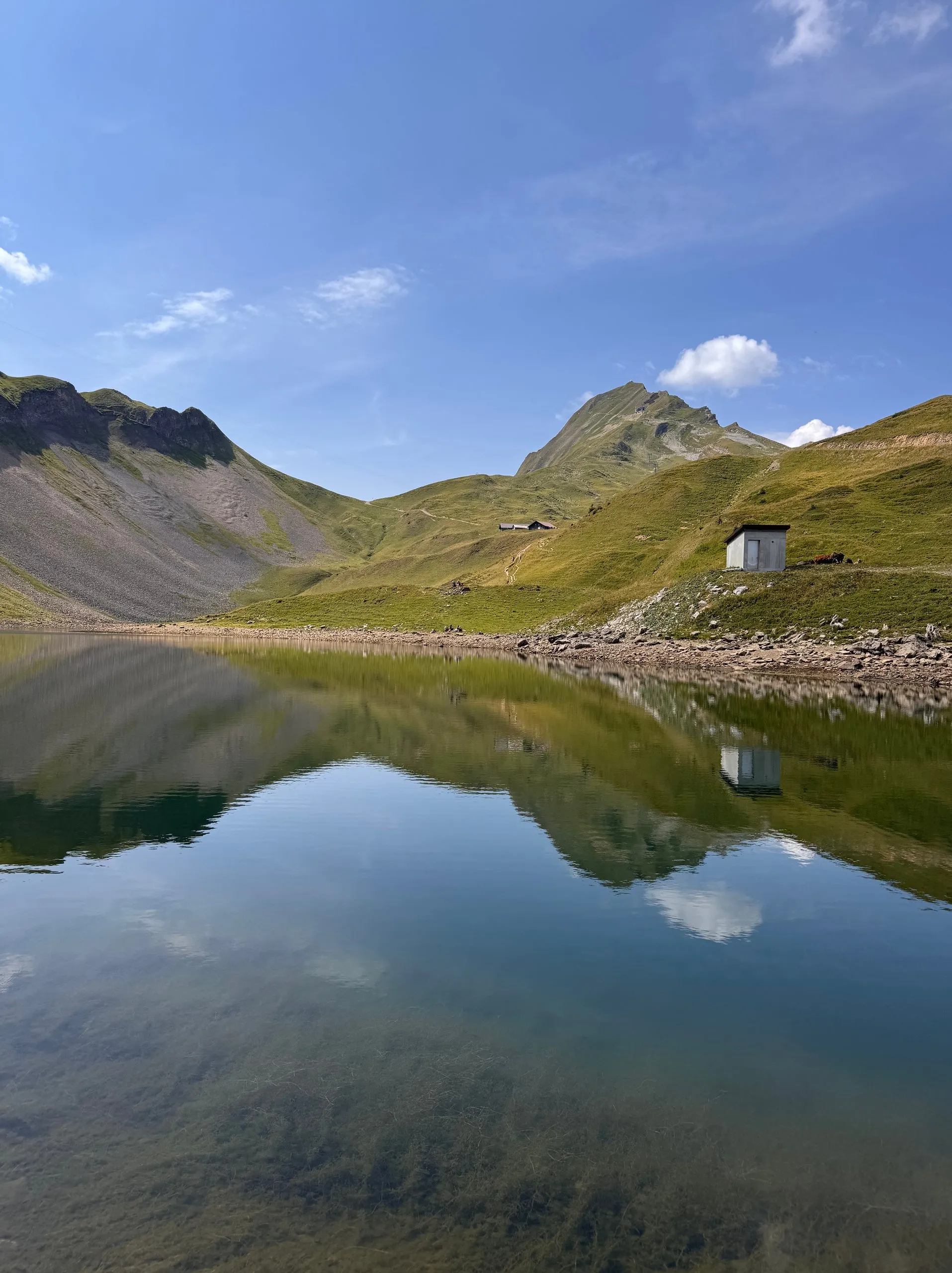
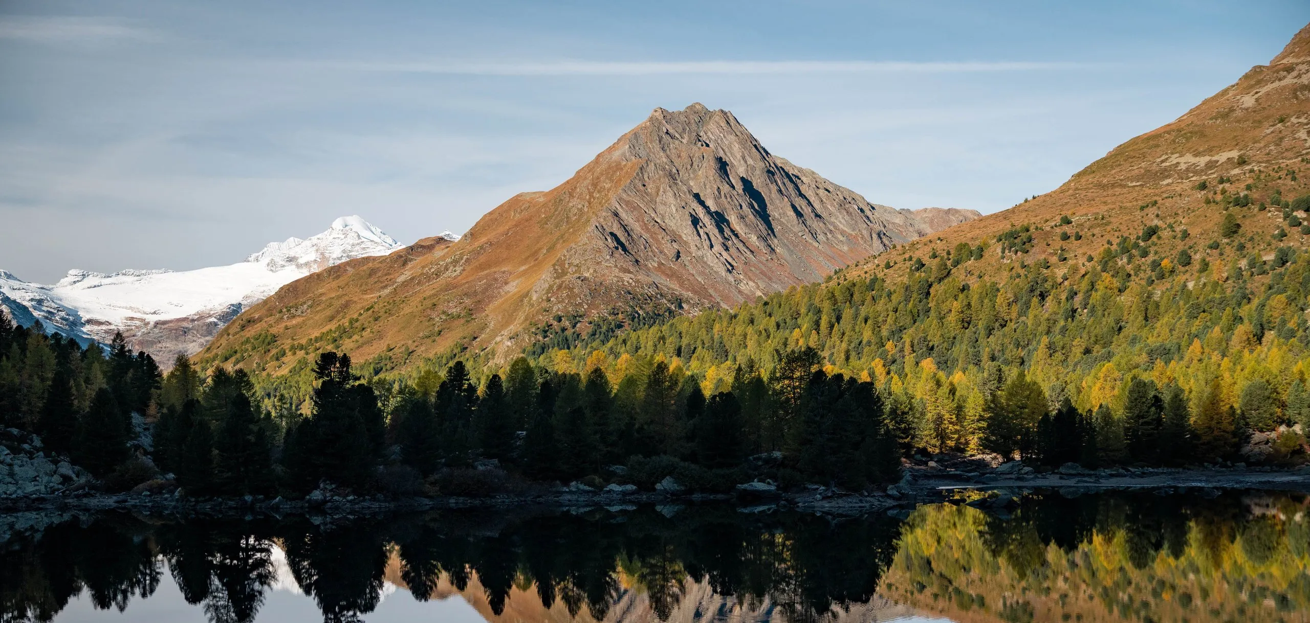
Märjelensee, Aletsch Glacier
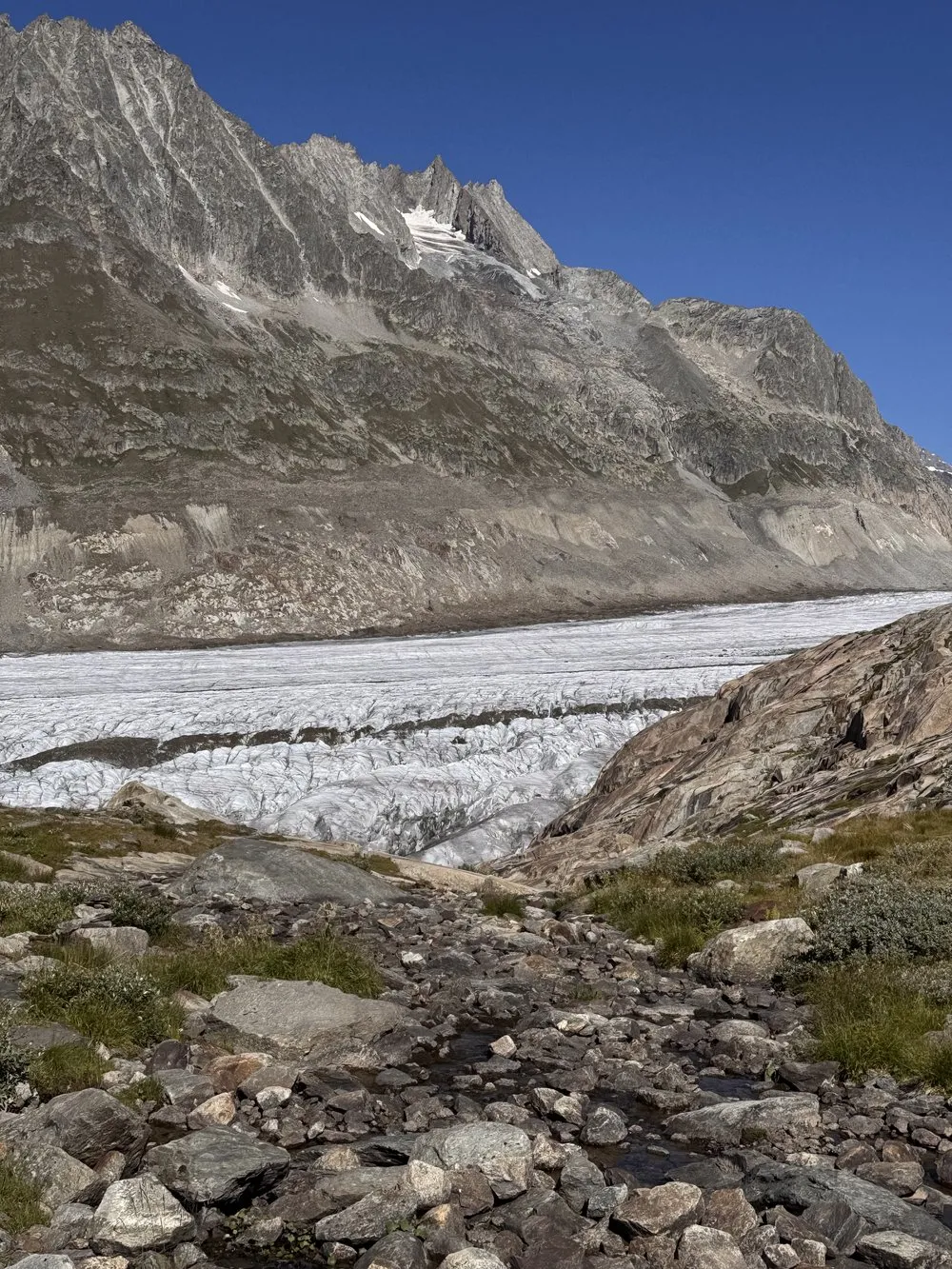
On the eastern edge of the glacier, where the ice meets the first grasses and meltwater streams. End point of the glacier crossing towards Fiescheralp.
- Best time
- Late morning · July to September
- Country
- Switzerland
- Latitude
- 46.4408° N
- Longitude
- 8.0920° E
On site
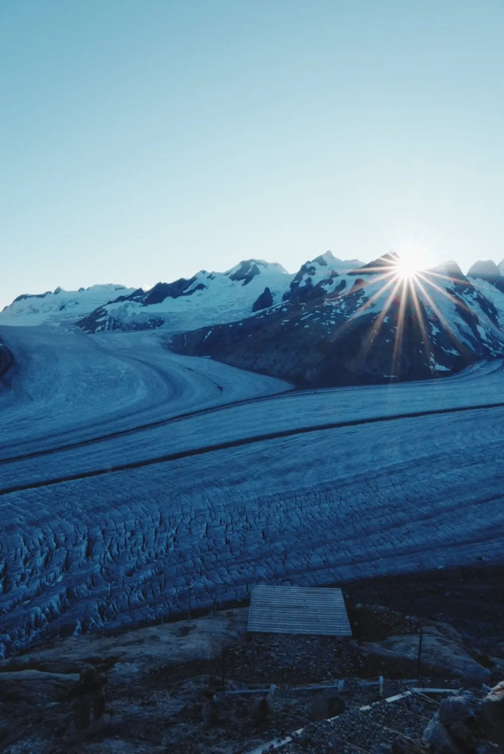
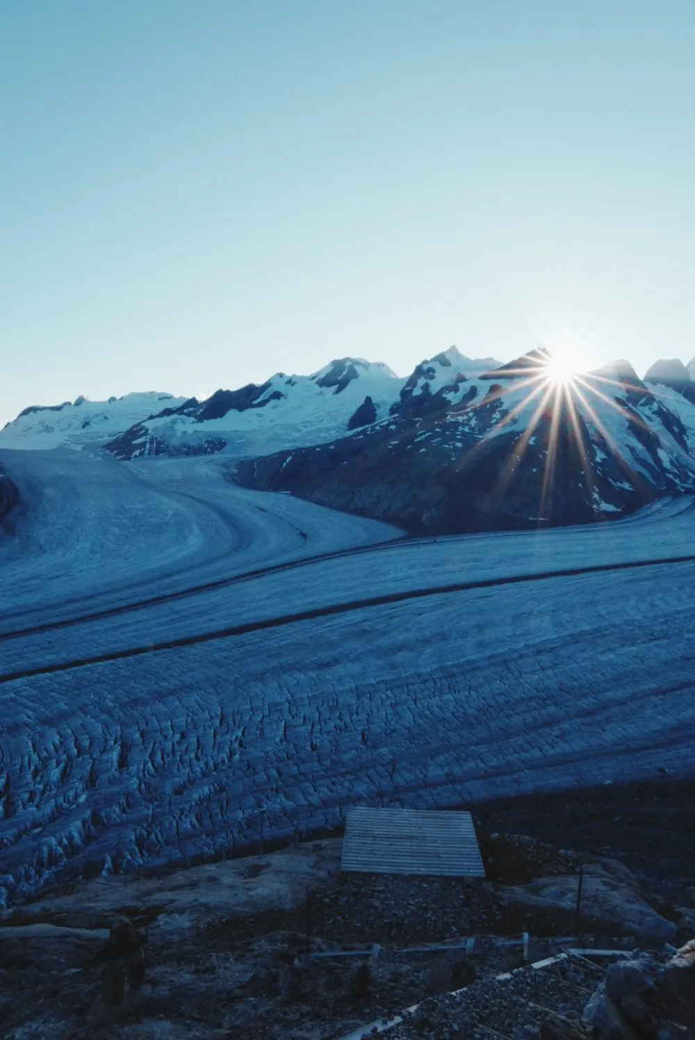
Märjelensee lies on the eastern edge of the Great Aletsch Glacier. This is where we leave the ice on the second day of our glacier tour at the end of July 2026. At 6 in the morning, after the night in the Konkordia Hut, we are back on the ice, roped up in a group of twelve with our mountain guide Richie. It takes us around three hours to reach Märjelensee.
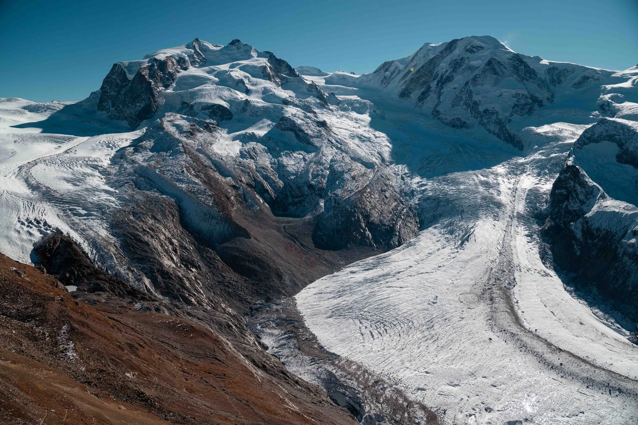
For a long time the route follows the dark medial moraines down the glacier. They run through the ice like tracks. Distances are hard to judge: What looks like a short stretch to the next rocky outcrop takes half an hour. There is no marked path across the glacier, and the guide picks the line each day according to snow, crevasses and weather.
Only at the edge, where the glacier meets the rock, do grasses and shrubs appear again, with streams of meltwater in between. At Märjelensee we look back for a long time at the way we have come. We walk on to Fiescheralp, and several marked paths lead there from the lake. From Fiescheralp the cable car takes us down to Fiesch, and by train we are back in Basel in the evening.
This sends your IP address to the OpenStreetMap Foundation. You can change it any time in the .
Märjelensee, Aletsch Glacier 46.4408° N 8.0920° E
Nearby