
Switzerland
Tours on our doorstep in Basel: Two days across the Great Aletsch Glacier to the Konkordia Hut, from Sörenberg via the Eisee up the Brienzer Rothorn, through the Val da Camp to Lagh da Saoseo and from Bergün to Lai da Palpuogna.
- Posts
- 6
- Photo spots
- 7
- Travel years
- 2025, 2026
- Latest
- 17/10/26
We live in Basel, and still Switzerland has long had too little space on this blog.
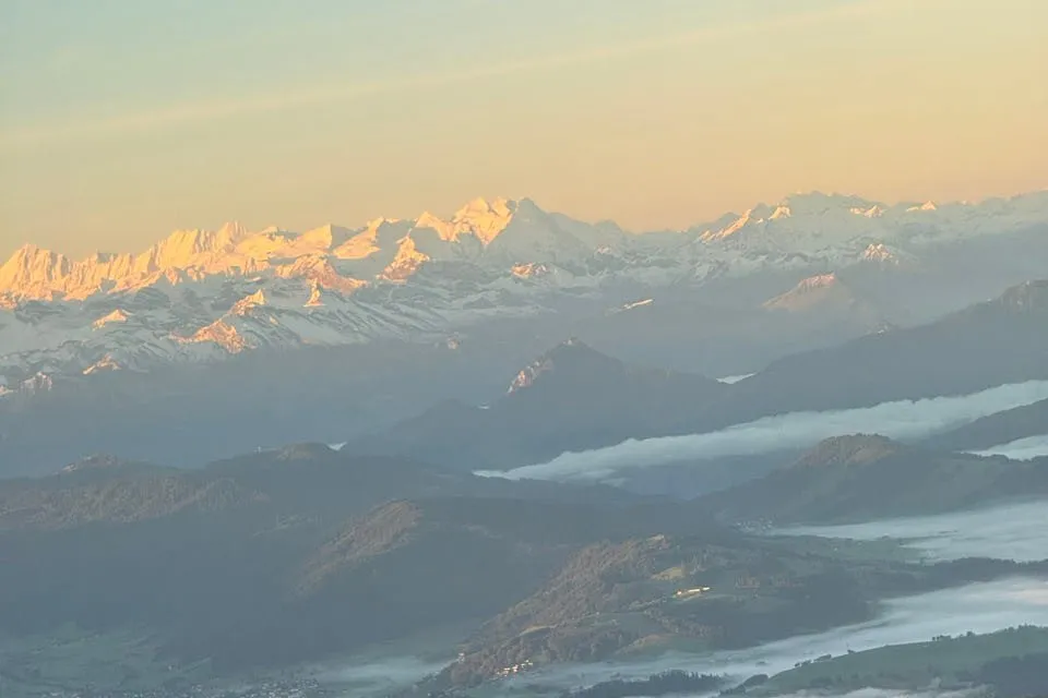
In September 2025 our trip to Bali and Lombok, which begins in Basel, ends with the night flight from Bangkok to Zurich. We do not sleep, but in the first light the snow-covered peaks of the Alps glow above the clouds. We take the train back to Basel.
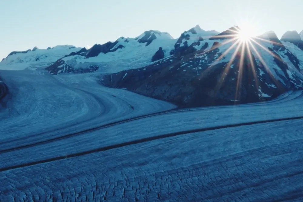
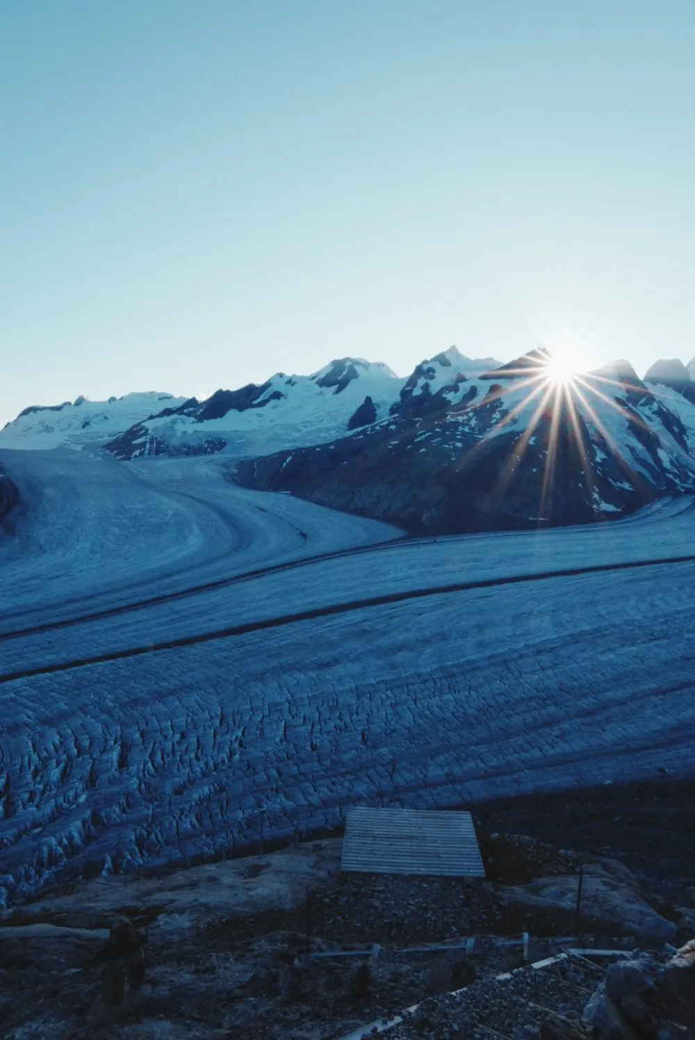
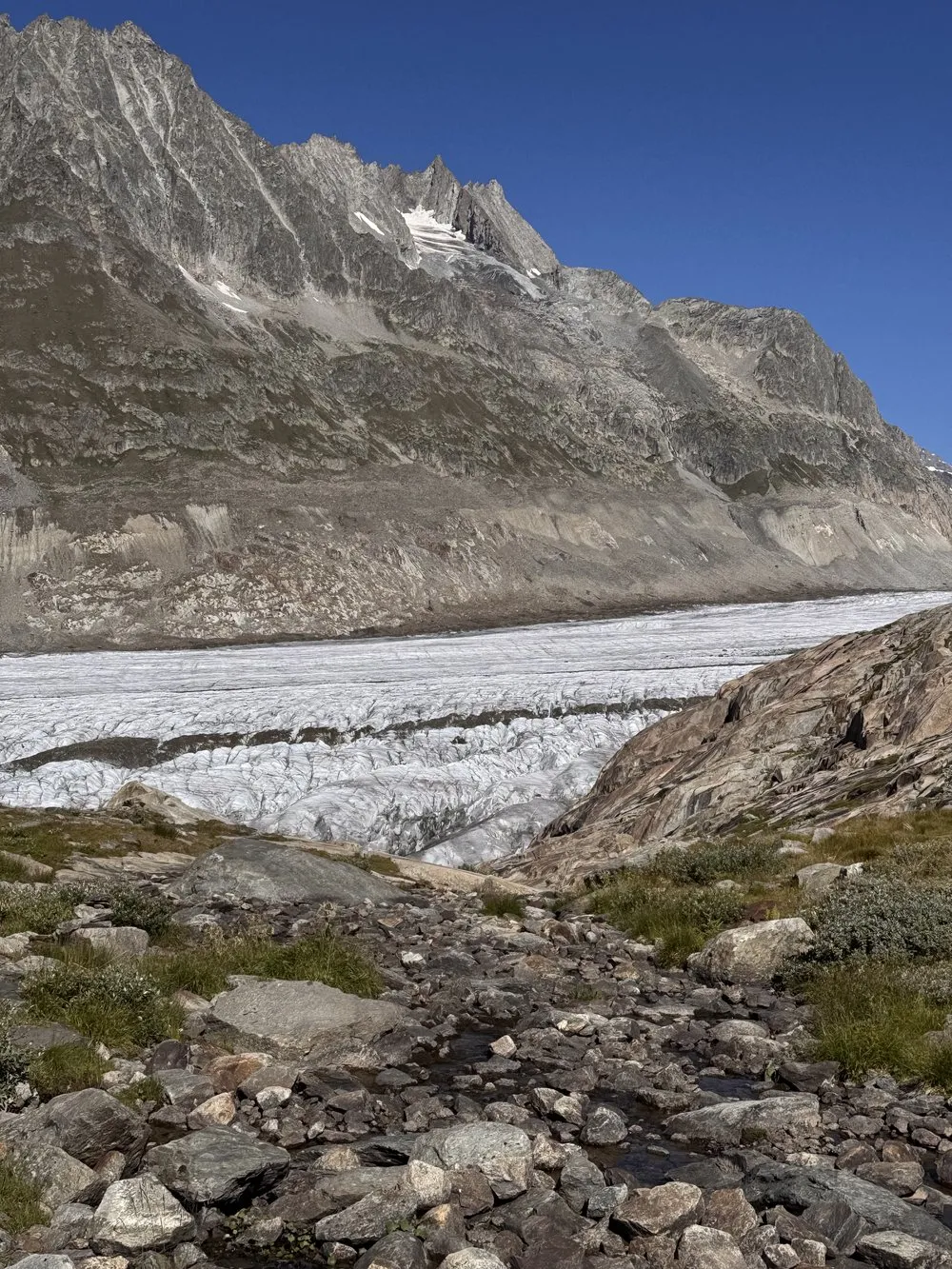
At the end of July 2026 we cross the Great Aletsch Glacier, the longest stream of ice in the Alps. After a night in Grindelwald we ride up to the Jungfraujoch at 3454 metres. From there we walk roped up with our mountain guide Richie, in a group of twelve, across firn and bare ice. At the end of the first day a good 550 steps lead up to the Konkordia Hut at almost 2850 metres, above Konkordiaplatz, where four streams of firn flow together. On the second day we leave the ice at Märjelensee and walk on to Fiescheralp. The glacier crossing is a high alpine tour with SAC grade L, and without a mountain guide or your own glacier experience and equipment you should not attempt it.
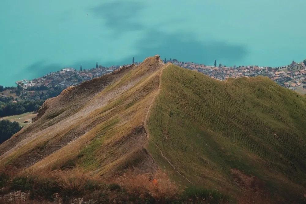
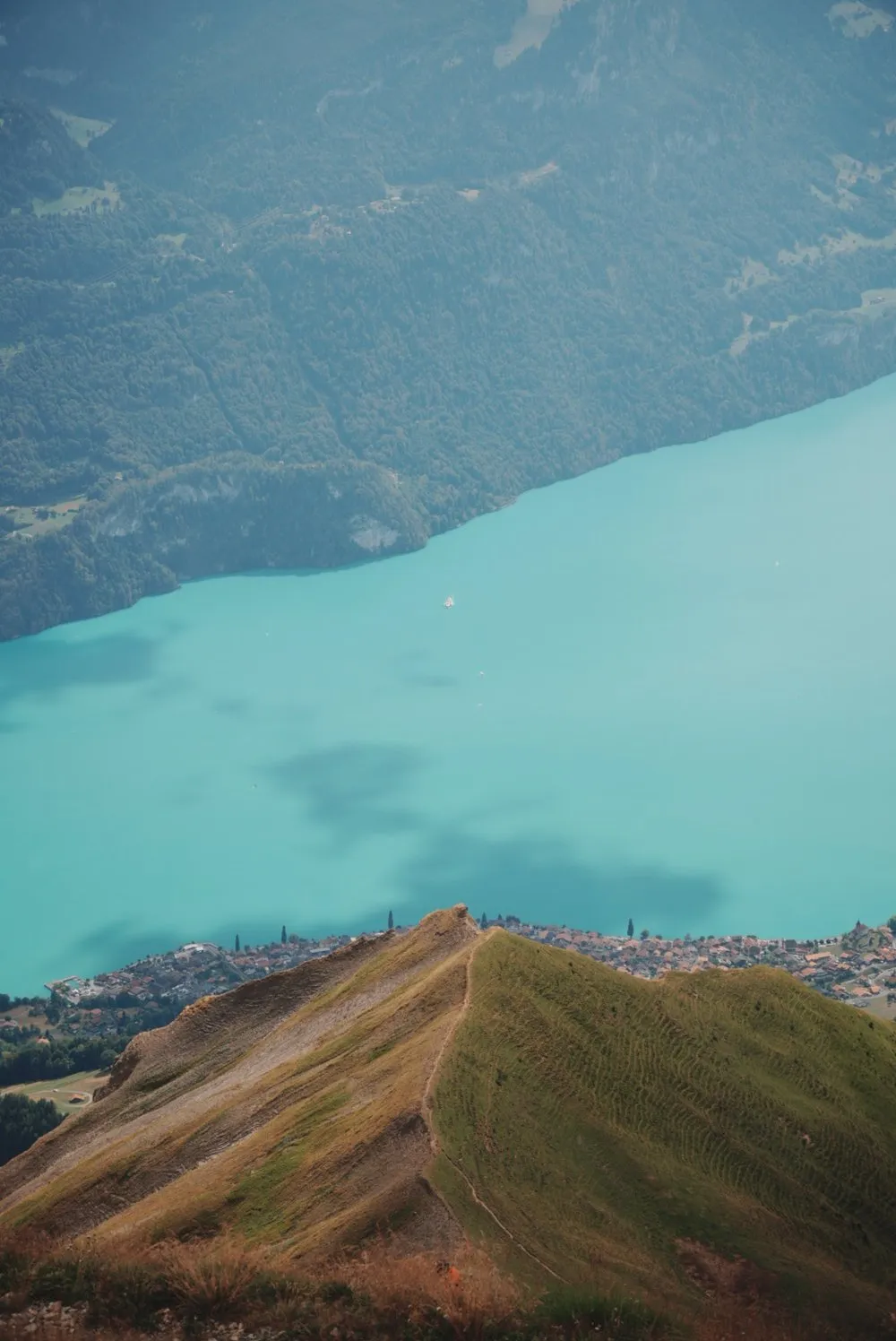
In mid-August 2026 we walk up the Brienzer Rothorn from Sörenberg, the highest mountain in the canton of Lucerne. Halfway up a cow stands in the middle of the path, and we go for a swim in the cold Eisee. From the summit Lake Brienz lies far below in turquoise, until clouds push over the ridge from the west. We take the gondola back down to Sörenberg. The hike via the Eisee has around 1100 metres of ascent and fits comfortably into one day.
On 10 October 2026 the four of us hike into the Val da Camp to Lagh da Saoseo and spend the night at Rifugio Saoseo. The next morning the hike follows a frozen forest path to Lagh da Val Viola.
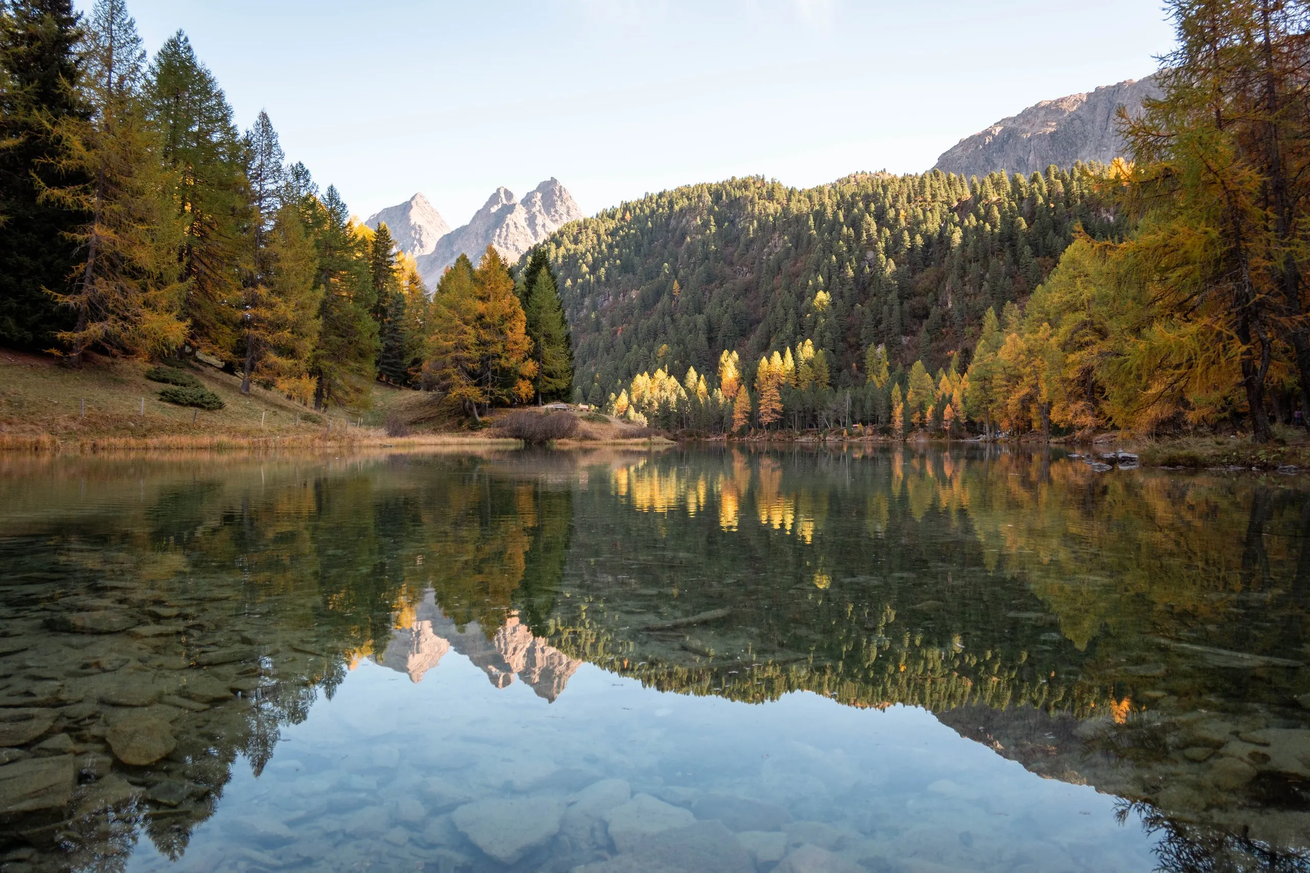
In mid-October 2026 Nicolas walks with his friend Julian from Bergün along the Albula Railway to Lai da Palpuogna, where the larches glow yellow at the lake above Preda.
To reach the Jungfraujoch you take the Eiger Express from Grindelwald Terminal to Eigergletscher station and change there to the Jungfrau Railway. From Fiescheralp the cable car takes us down to Fiesch, and by train we are back in Basel in the evening. There is no marked path across the ice, and the guide picks the line each day according to snow, crevasses and weather. In Sörenberg we park at the valley station of the Rothorn cable car. According to Sörenberg Tourism the car park charges a fee, payable in cash or by Twint. Without a car you take the train to Schüpfheim and then the PostBus.
- Photo spot
- Stage
- Route (straight line)
This sends your IP address to the OpenStreetMap Foundation. You can change it any time in the .
5 stages as a list
Posts from Switzerland
· 7 min
From Bergün to Lai da Palpuogna
By train over the Landwasser Viaduct to Bergün, on foot along the viaducts of the Albula Railway to Lai da Palpuogna, then döner at Zurich main station.
· 6 min
To Lagh da Val Viola and a swim in Lagh da Saoseo
Blue light at Lagh da Saoseo in the morning, a frozen forest path to Lagh da Val Viola, a swim in the mountain lake and walnut tart to finish.
· 6 min
Autumn hike to Lagh da Saoseo and a night at Rifugio Saoseo
From Sfazù through yellow larch forests to Lagh da Saoseo, walnut tart at Alp Camp and a night in the SAC hut under a dark, starry sky.
· 3 min
From Sörenberg past the Eisee up to the Brienzer Rothorn
A day hike from Sörenberg: Cows on the path, a swim in the cold Eisee and, at the top, the improbably blue Lake Brienz.
· 4 min
Across the Aletsch Glacier to the Konkordia Hut
Two days on the Great Aletsch Glacier: Roped up across firn and bare ice, 550 steps up to the Konkordia Hut and on to Märjelensee the next morning.
· 3 min
Bangkok - Zurich - Basel
From Bangkok to Zurich: A calm, sleepless night flight, the Alps in the morning light above the clouds and the train back to Basel.
7 photo spots
All on the map →Brienzer Rothorn
46.7871° N 8.0466° E
Best time: Late morning, before the clouds build · June to October
From the ridge the view drops far down onto Lake Brienz, lying in an almost unreal turquoise. On foot from Sörenberg or by gondola, with a café at the top.
Eisee, Sörenberg
46.7906° N 8.0595° E
Best time: Late morning · July to September
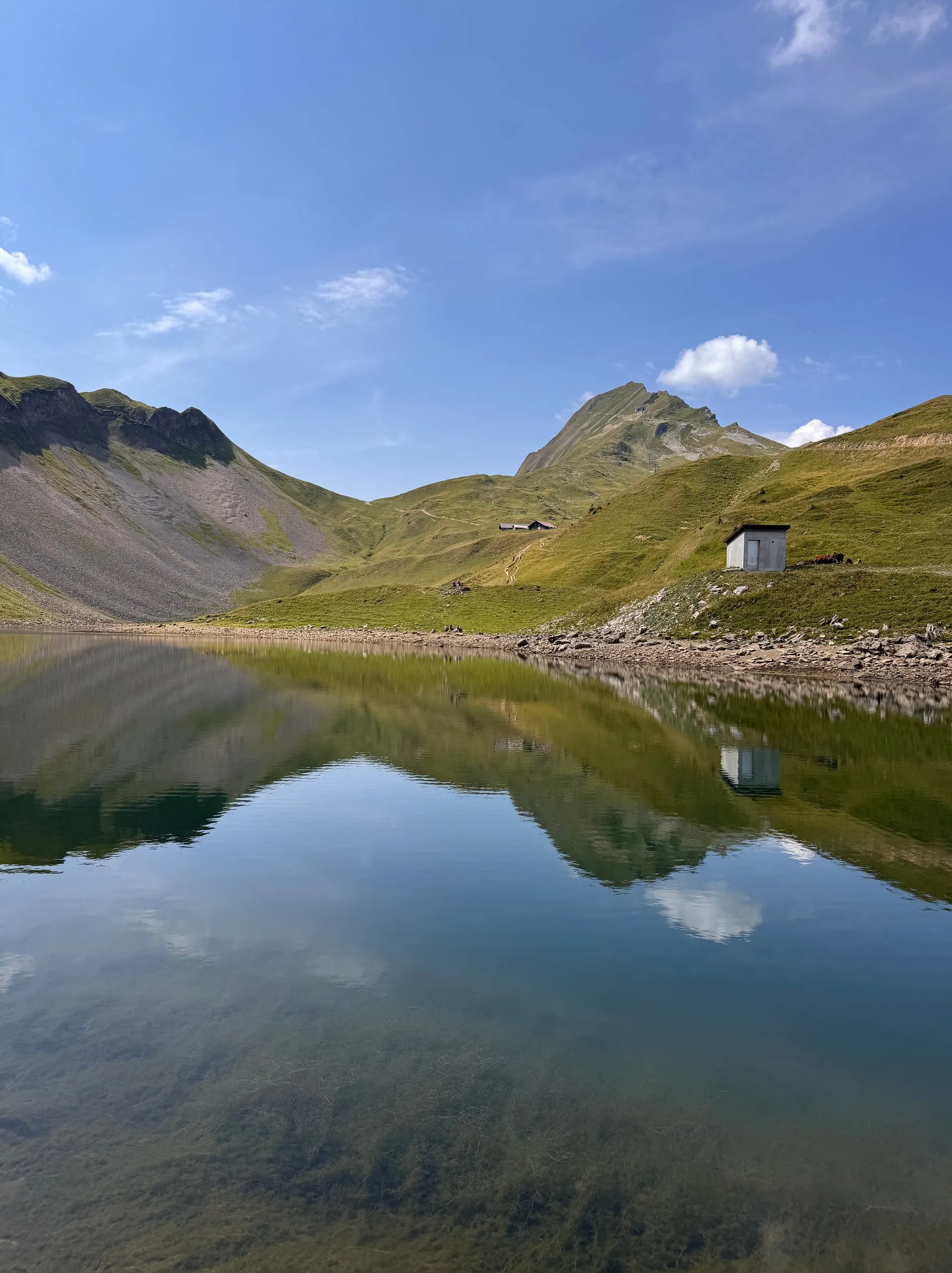
A mountain lake in a bowl below the Brienzer Rothorn, two basins meeting at a narrow spit. In the morning it lies still enough to mirror the whole cirque. You can swim in it, the water is cold.
Konkordiaplatz, Aletsch Glacier
46.5005° N 8.0533° E
Best time: Sunrise · July to September
Where four streams of firn merge into the Great Aletsch Glacier. The Konkordia hut clings 550 steps above the ice, with a view all the way down the glacier.
Lagh da Saoseo
46.3981° N 10.1262° E
Best time: October, when the larches are yellow · around midday for the turquoise water
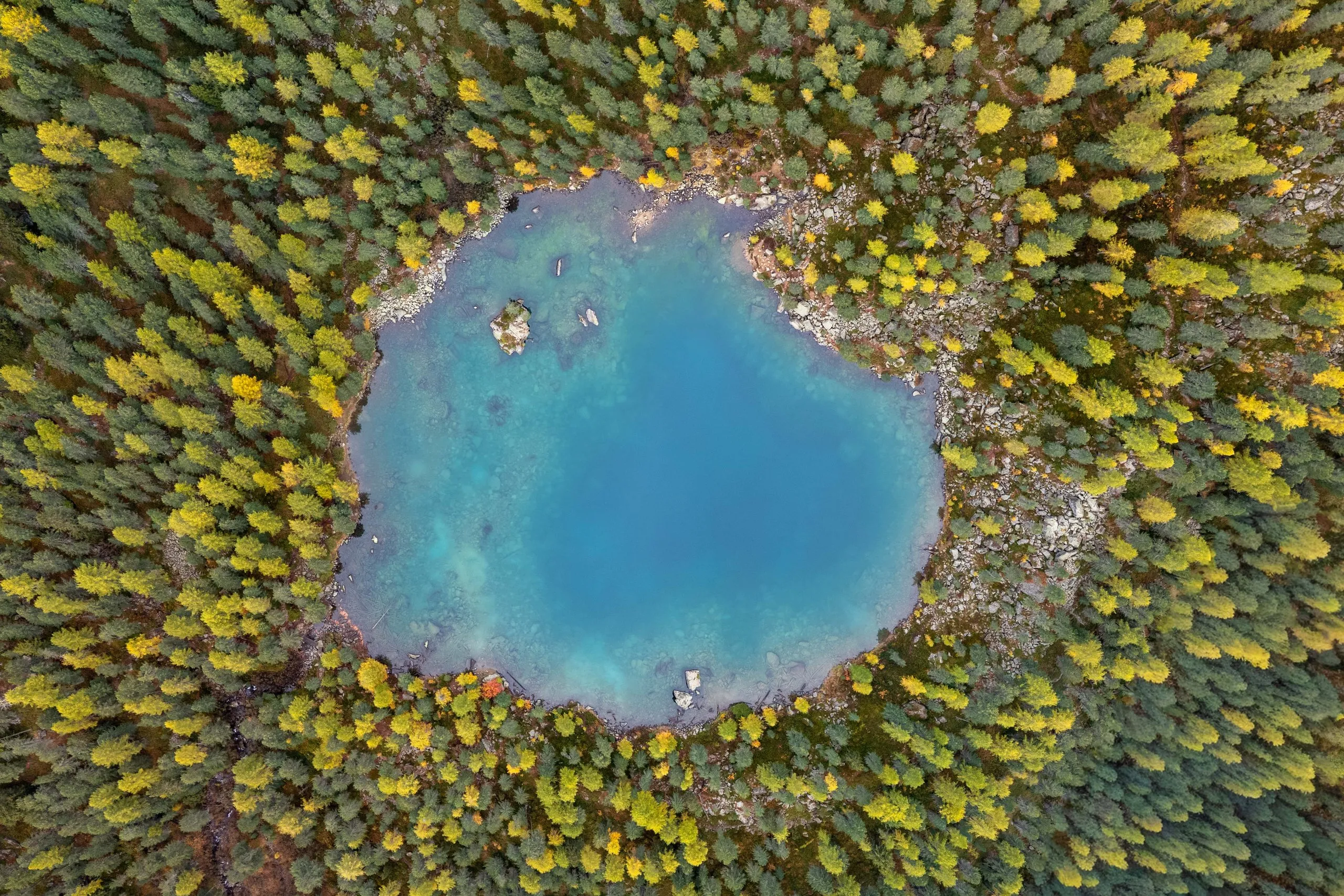
A round, turquoise lake in the larch and stone pine forest of the Val da Camp, reached only on foot. In October it mirrors yellow larches and snowy peaks.
Lagh da Val Viola
46.4043° N 10.1392° E
Best time: Morning, when the lake is calm · October with yellow larches
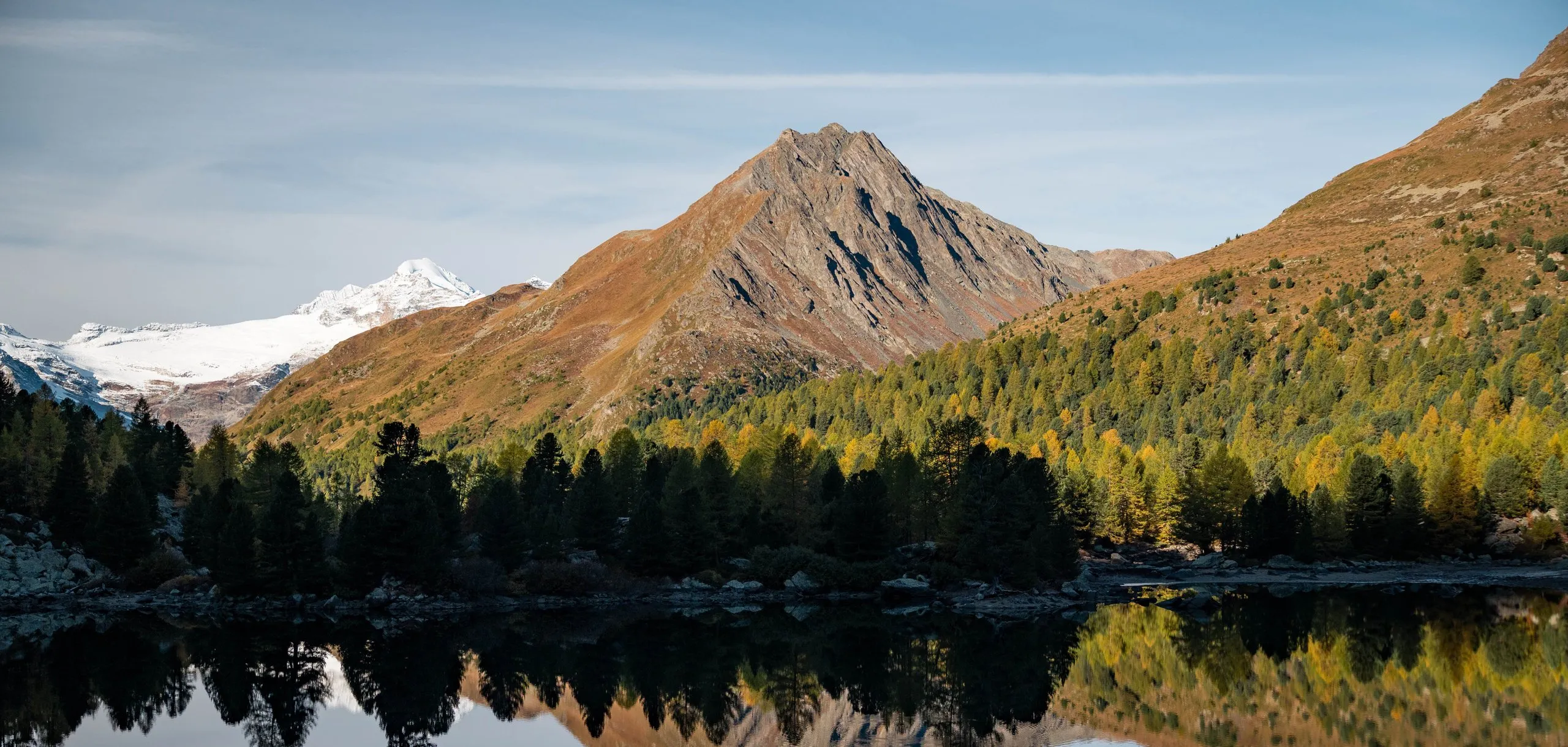
A mountain lake at 2159 metres at the top of the Val da Camp. Its calm water mirrors the rock pyramid of the Corn da Mürasciola, with the Bernina group behind.
Lai da Palpuogna
46.5817° N 9.7861° E
Best time: Mid-October, when the larches are yellow
A mountain lake at 1918 metres, almost 130 metres above Preda station. In October the lake mirrors yellow larches and the double summit of the Dschimels.
Märjelensee, Aletsch Glacier
46.4408° N 8.0920° E
Best time: Late morning · July to September
On the eastern edge of the glacier, where the ice meets the first grasses and meltwater streams. End point of the glacier crossing towards Fiescheralp.
Hikes in Switzerland
All hikes in Switzerland →- Jungfrau-Aletsch, Valais
Across the Aletsch Glacier
2 days · 3,454 m to 2,205 m - Albula Valley, Graubünden
From Bergün via Preda to Lai da Palpuogna
13.2 km · 722 m ↑ · 2,043 m - Val da Camp, Valposchiavo
From Sfazù to Lagh da Saoseo and Lagh da Val Viola
17.5 km · 878 m ↑ · 2,266 m - Entlebuch, Lucerne
From Sörenberg past the Eisee up to the Brienzer Rothorn
6.3 km · 1,119 m ↑ · 2,348 m