The Val da Camp is a side valley of the Valposchiavo. It branches off the road over the Bernina Pass at Sfazù, and cars are banned there. We went on 10 and 11 October 2026 with our friends Markus and Sabrina, four of us in all, and spent the night at Rifugio Saoseo. On the first day we took the trail through the forest to Lagh da Saoseo, then on to Alp Camp and the hut. On the second day we took the long path to Lagh da Val Viola, went back to Lagh da Saoseo and walked down to Sfazù via Alp Camp on the gravel road. According to Valposchiavo Turismo, the paths are signposted as mountain trails, white-red-white and graded T2. WegWandern describes a similar hike in one day, from the hut over both lakes and Alp Camp down to Sfazù, with 11.6 kilometres, 457 metres of ascent and 826 metres of descent. Our two days are longer because the climb from Sfazù is added and we went back from Lagh da Val Viola to Lagh da Saoseo once more. According to our track, the first day is 6.8 kilometres with 510 metres of ascent, the second 10.7 kilometres with 370 metres of ascent and 730 metres of descent.
Getting there and parking in Sfazù
Sfazù lies on the Bernina road between Poschiavo and the Bernina Pass. We came by car, left Schübelbach at 8 am, where we had spent the night with Markus and Sabrina, and were in Sfazù at 11 am. We parked there. Without a car, according to Rifugio Saoseo, you take the Rhaetian Railway to Pontresina or Poschiavo and the PostBus on to Sfazù. A minibus runs into the valley as far as Lungacqua and Alp Camp. You have to book a seat at least an hour before departure. In winter no PostBus runs to Sfazù.
Day 1: Through the forest to Lagh da Saoseo and the hut
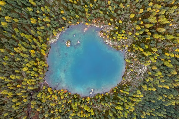
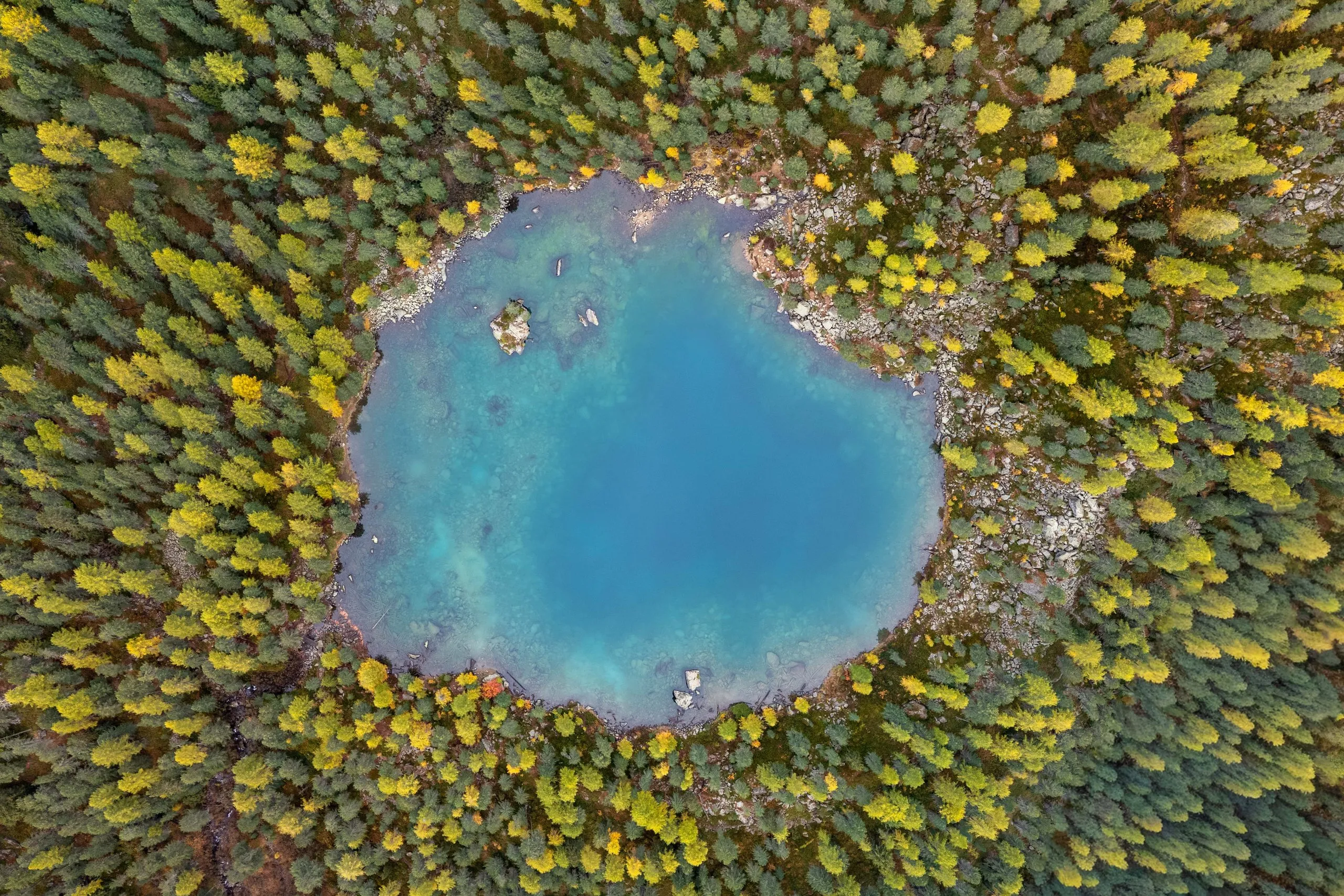
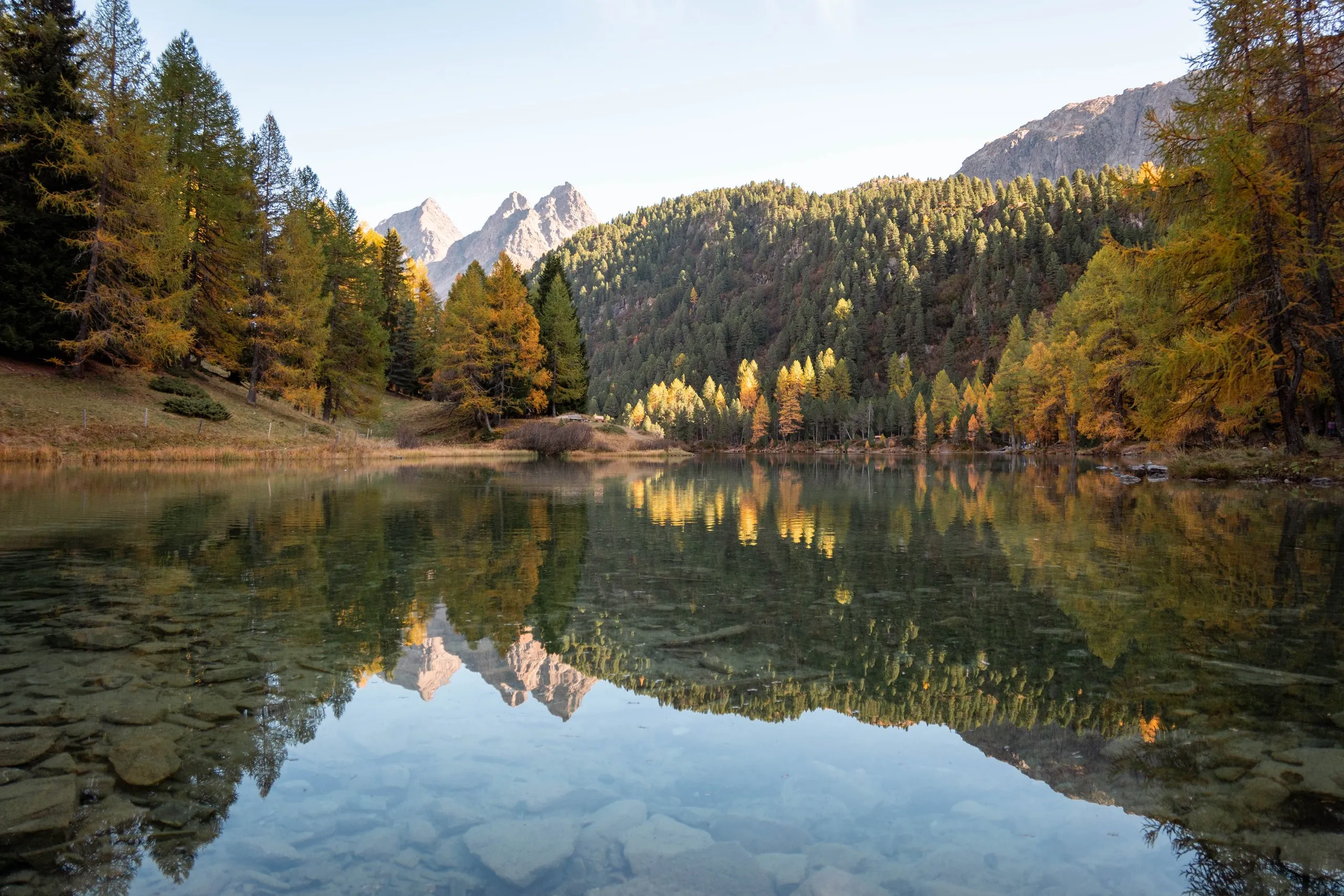
Instead of the gravel road we took the trail through the forest. It starts at the signpost in Sfazù, soon leaves the road and leads via Terzana through larch and Swiss stone pine forest, and many of the larches were already yellow. At a fork a path branches off to Lungacqua and the hut. We carried on to the lake, past the Saoseo signpost according to the map. Light rain was forecast for the day, and it did rain a little on the way. When we reached Lagh da Saoseo, it stopped. The lake lies at 2028 metres in the forest, and the water was almost as smooth as a mirror. We had our picnic on the shore.
From the lake a short path leads to Alp Camp. Ristoro Alpe Campo stands there at 2065 metres, a house of stone and lime. We had Möhl and Bündner Nusstorte there. According to WegWandern, it is about ten minutes from Alp Camp down the gravel road to Rifugio Saoseo at 1985 metres. According to the hut, it takes two hours from Sfazù to the hut on the trail, an hour and a quarter on the gravel road.
Rifugio Saoseo is a hut of the Bernina section of the SAC and is staffed from early June to the end of October. It has 50 beds in shared rooms and a dormitory. Dinner is served at 7 pm, quiet hours start at 10 pm, and the last breakfast is at half past eight. We had a room for four with electricity. Before going to sleep we stood outside under the starry sky. There is hardly any light pollution here.
Day 2: On the long path to Lagh da Val Viola
Breakfast was at 7 am. From the hut it is about 15 minutes up through the forest to Lagh da Saoseo. We wanted to be there for the golden hour, but the lake still lay in the shadow of the mountains and the forest, and the light was more blue.
There is a shorter and a longer path to Lagh da Val Viola. We took the longer one and needed an hour and a half. It first follows the shore of Lagh da Saoseo and then, according to WegWandern, climbs steeply through a Swiss stone pine and larch forest full of boulders. Higher up it becomes flatter and crosses a rockfall area with scree slopes. Its highest point lies above Lagh da Val Viola, then it drops down to the lake, short and steep. The forest path was frozen, we guessed about minus one degree. It again leads through yellow larches and is marked white-red-white.
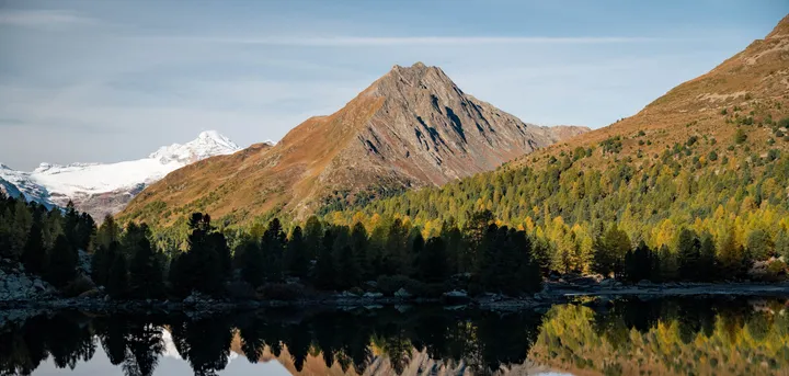
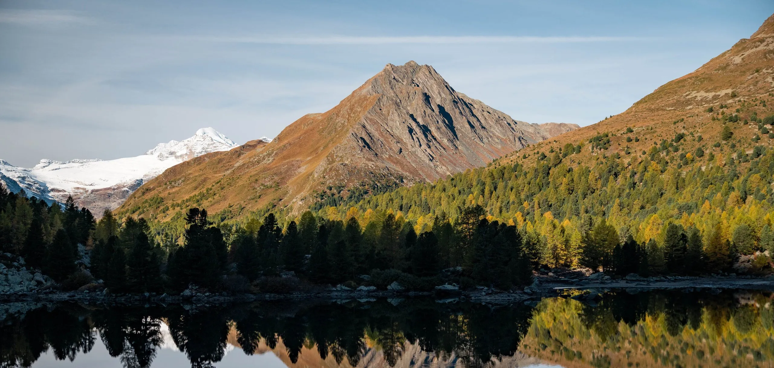
Lagh da Val Viola lies at 2159 metres. According to Swiss Hiking Trails, the slope on the eastern shore is quite steep and getting to the water there is not easy. For a rest they recommend the large, flat meadow west of the lake. For us the lake was very calm, and the larches and mountains were reflected in it. It was already almost 11 am, so we had our picnic there.
Back via Lagh da Saoseo and Alp Camp to Sfazù
For the way back to Lagh da Saoseo the map shows a shorter path. We did not record which way we took back. At Lagh da Saoseo we went for a swim. Afterwards we went to Alp Camp once more, where we again had Bündner Nusstorte, and apricot tart with it.
From Alp Camp the gravel road leads past Lungacqua and the hut down to Sfazù. According to Valposchiavo Turismo, residents of the Val da Camp may drive on it. The minibus uses it too. We did not record our time for this descent.