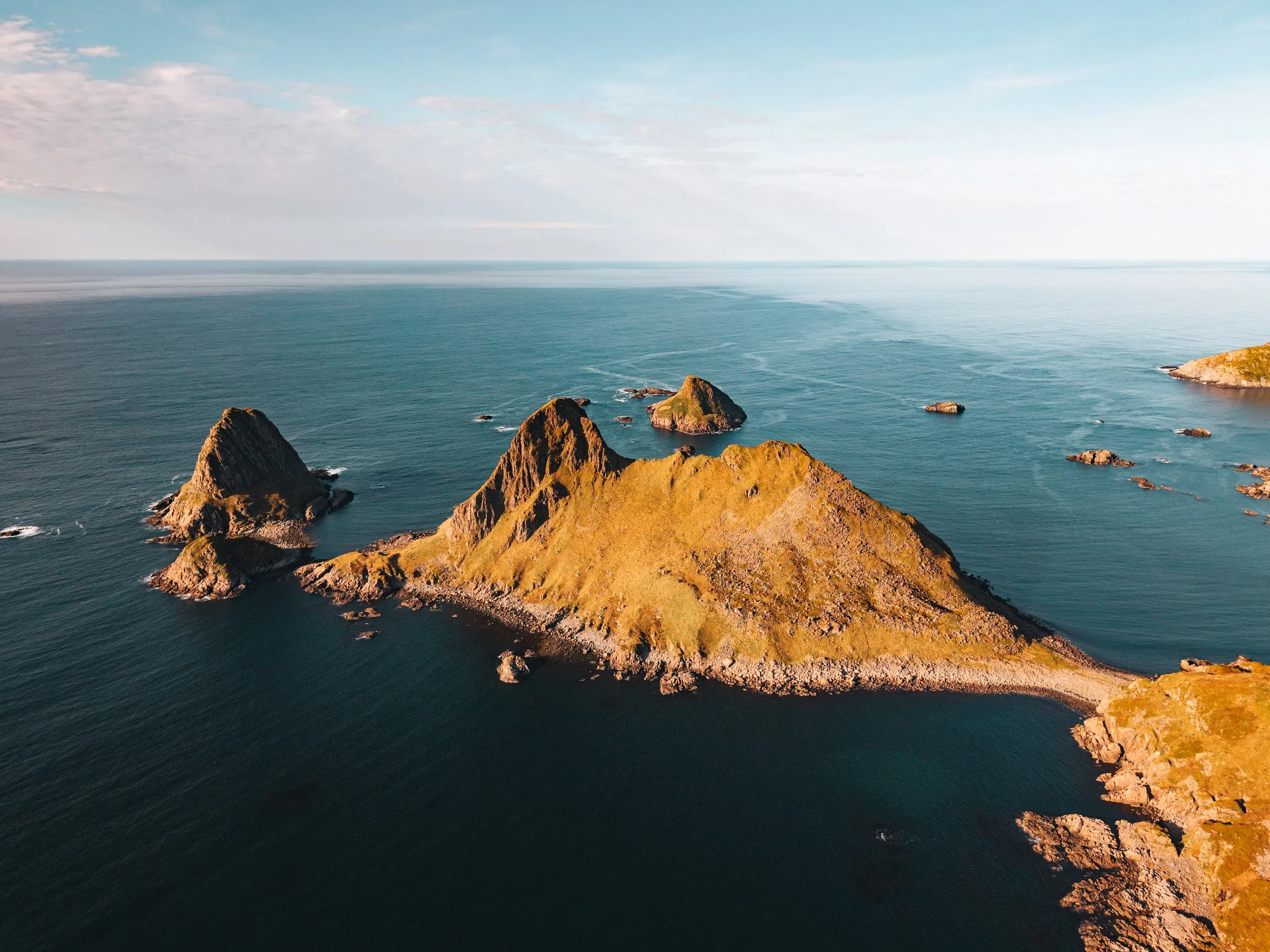
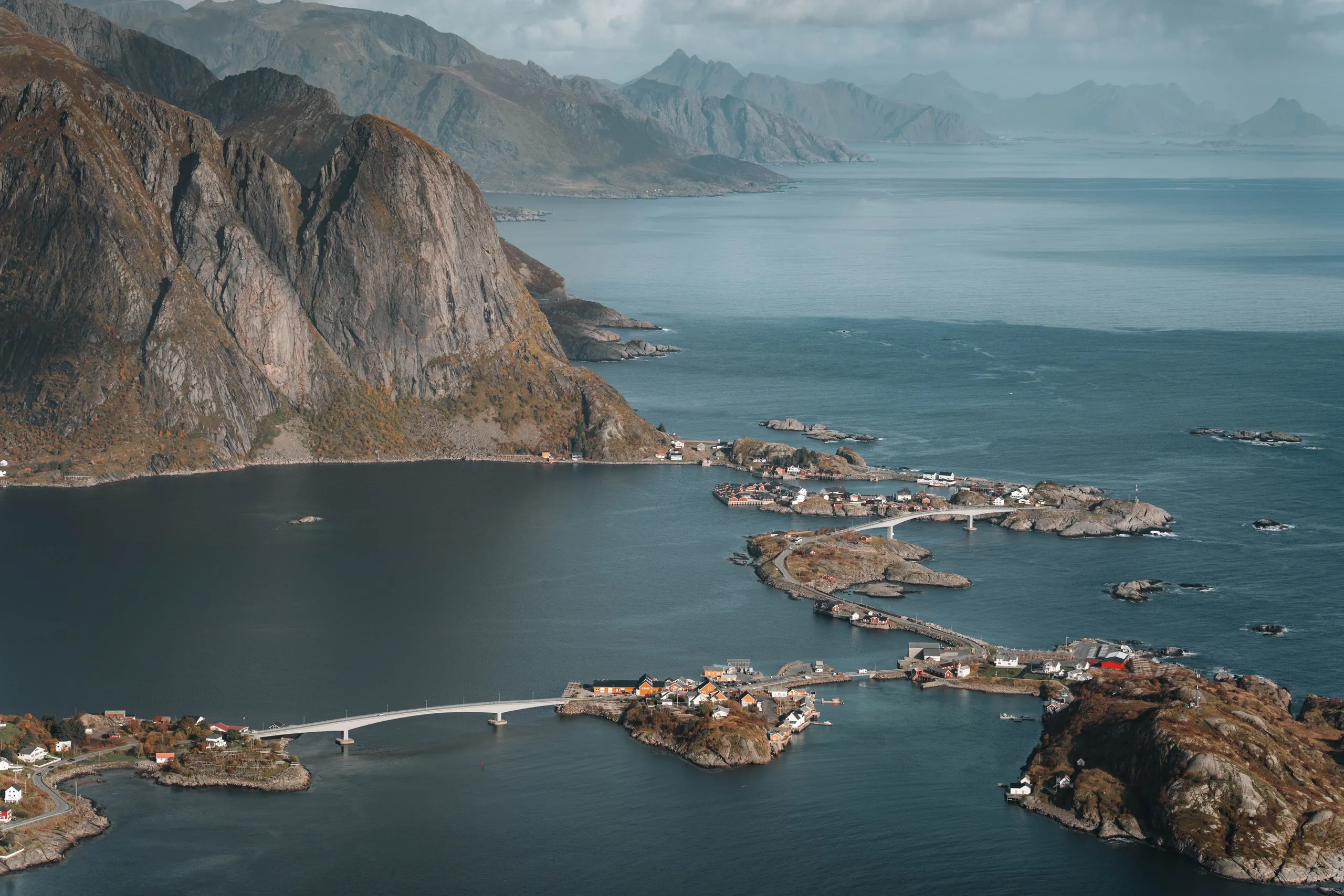
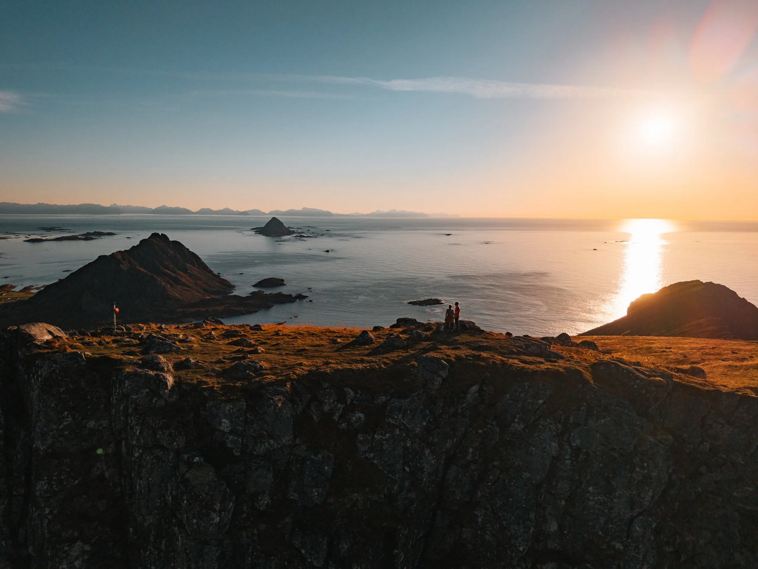
Bufjellet above Sandvika
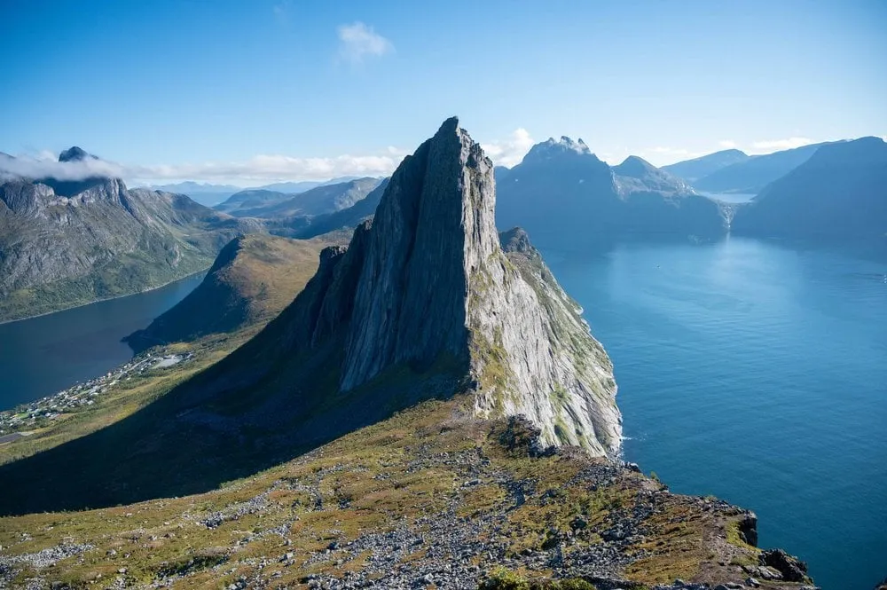
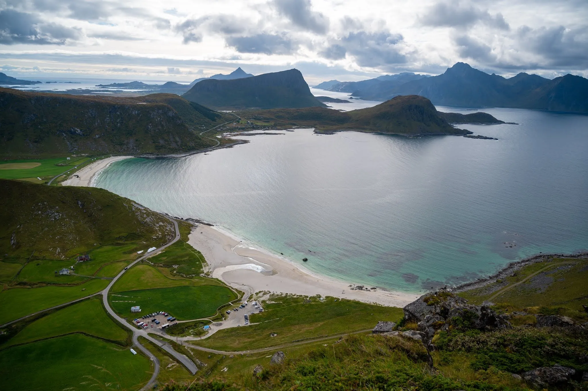
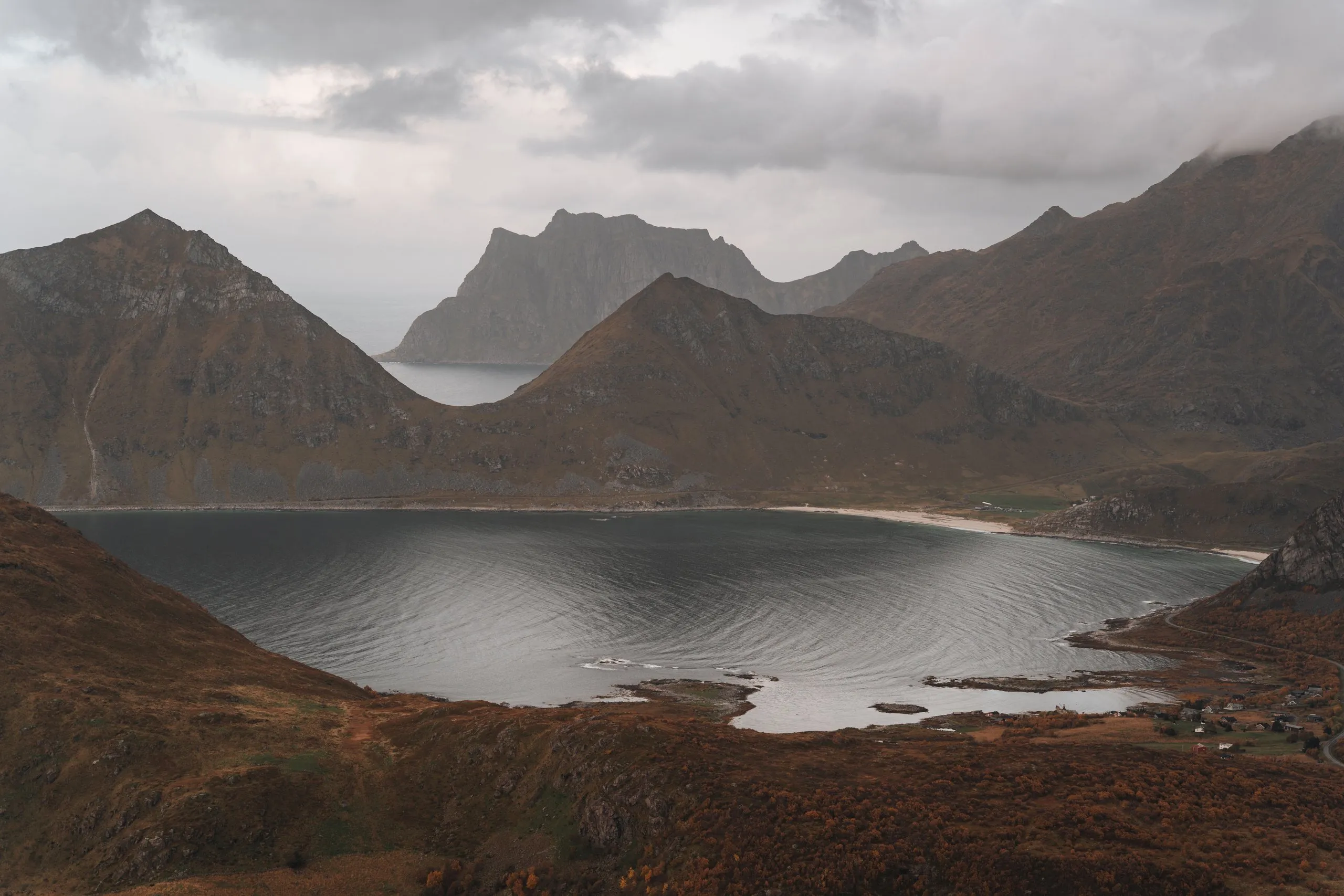
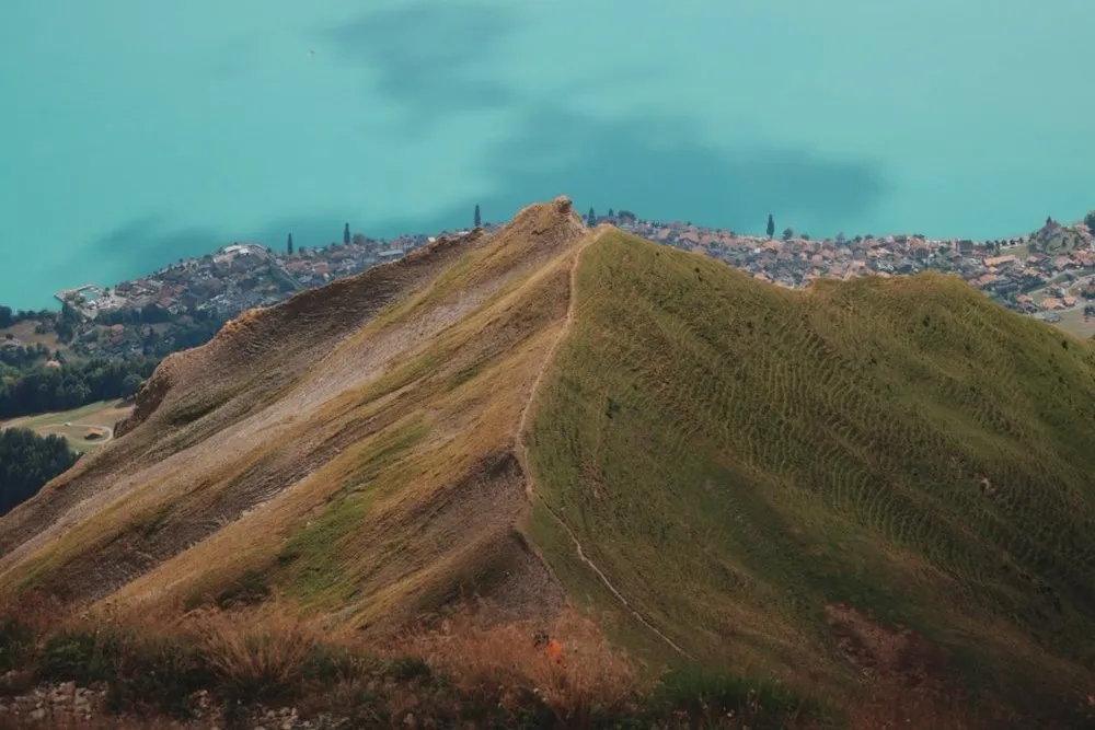
From Sandvikhalsen near Bø up the 210-metre Bufjellet: A short, easy path to a view of Sandvika, Engenyken and Spjøten, with map and GPX.
- Distance
- 1.8 km
- Ascent
- 138 m
- Highest point
- 211 m
Our time Not recorded
The hikes from our travel days as route guides: Where the path starts, where to park, how steep it gets and how long it took us. With map, elevation profile and the photo spots along the way.
37 hikes in 5 countriesGraded on the DNT scale in Norway and the SAC scales in Switzerland. Where there is no official grade, we grade from our own visits. Hikes without a grade are listed under “Not graded”.
Langøya, Vesterålen · Flakstadøya, Lofoten · Sørvågen, Moskenesøya, Lofoten · Moskenesøya, Lofoten · Senja · Trollheimen, Sunndal · Romsdal, Rauma · Vestvågøya, Lofoten · Andøya, Vesterålen
From Sandvikhalsen near Bø up the 210-metre Bufjellet: A short, easy path to a view of Sandvika, Engenyken and Spjøten, with map and GPX.
Our time Not recorded
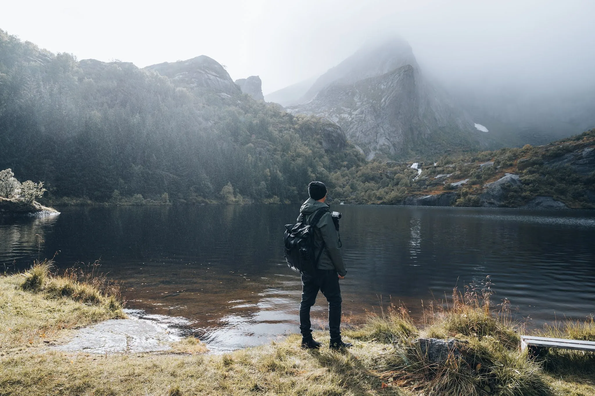
Langøya, Vesterålen Bufjellet above Sandvika 1.8 km · 138 m ↑ · 211 m A short hike from the car park in Nusfjord past two lakes, with waterfalls and a little snow in the fog, with map and GPX.
Our time Not recorded
Flakstadøya, Lofoten From Nusfjord to Nervatnet and Mellomvatnet 1.1 km · 28 m ↑ · 39 m From the hikers' car park in Sørvågen along the trail towards Munkebu to the cascades of the Olaelva above Sørvågvatnet, a short walk with map and GPX.
Our time Not recorded
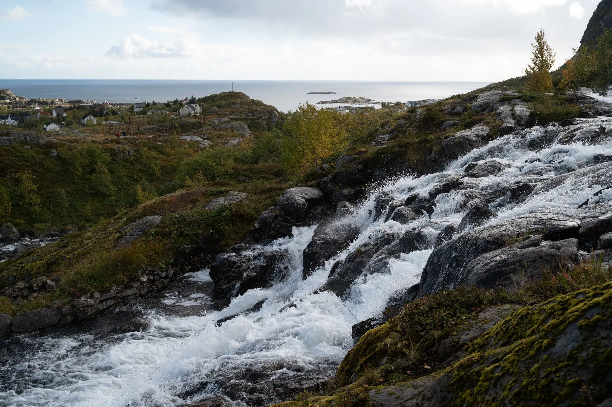
Sørvågen, Moskenesøya, Lofoten From the car park to the Lofoten Waterfall in Sørvågen 1.1 km · 35 m ↑ · 50 m By boat from Reine to Vindstad and on an easy path over a low pass to remote Bunes Beach, with map and GPX.
Our time Not recorded
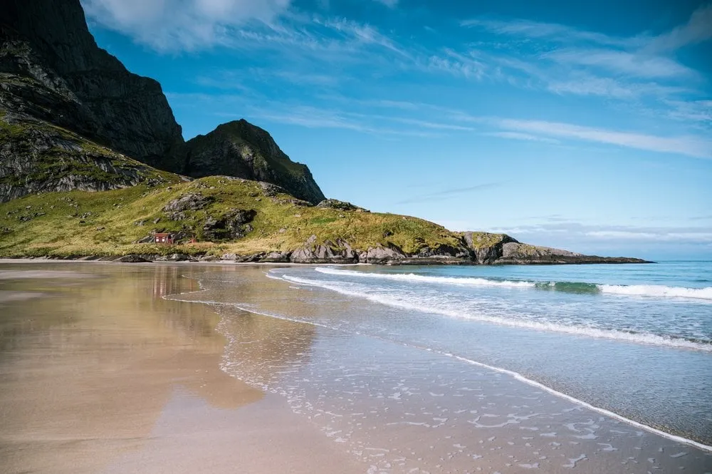
Moskenesøya, Lofoten From Vindstad over the pass to Bunes Beach 5.8 km · 147 m ↑ · 75 m From Fjordgård on Senja up the 556 metre Hesten with a view of Segla: At the end a scramble up a steep rock face, with map and GPX.
Our time A little over four hours there and back, including the summit stop and a picnic
Senja Hesten 3.9 km · 507 m ↑ · 556 m From Nerdalen up the steep gravel road into Innerdalen and down to the Renndølsetra summer farm by the lake, there and back the same way, with map and GPX.
Our time Not recorded
Trollheimen, Sunndal Innerdalen via the gravel road 7.1 km · 281 m ↑ · 466 m From the old football ground in Mefjordvær on a short, clear path up the 110 metre Knuten above the Mefjord on Senja, with map and GPX.
Our time Just under 15 minutes, as our post says. Whether that was only the way up or there and back, we did not record.
Senja Knuten near Mefjordvær 0.9 km · 72 m ↑ · 110 m From Fredvang over 543 metre Ryten down to Kvalvika Beach and back on the direct path over Skoren to Torsfjorden, with map and GPX.
Our time In 2022 two to three hours up Ryten, and after the way back over Skoren another hour along the road. Not recorded for the direct path in 2021 or for 2026.
Moskenesøya, Lofoten Kvalvika Beach and Ryten 8.5 km · 773 m ↑ · 542 m From the car park in Vengedalen over a short ridge onto Litlefjellet, with views of the Troll Wall and a small mountain lake, with map and GPX.
Our time Not recorded
Romsdal, Rauma Litlefjellet above Isfjorden 1.5 km · 140 m ↑ · 774 m From the car park at Hauklandstranda steeply and over large boulders up the 400 metre Mannen, with views of the sea and beaches, with map and GPX.
Our time Not recorded
Vestvågøya, Lofoten Mannen from Haukland Beach 4.3 km · 387 m ↑ · 398 m From the car park at Bauktuva between Stave and Bleik up the 408 metre Måtind on Andøya, looking out over Bleik and Bleiksøya, with map and GPX.
Our time About an hour and a half up, the time for the descent is not recorded
Andøya, Vesterålen Måtind 7.7 km · 513 m ↑ · 408 m Our favourite hike in the Lofoten: From the Skreda rest area steeply up the 436 metre Offersøykammen with an all-round view, with map and GPX.
Our time One to one and a half hours up
Vestvågøya, Lofoten Offersøykammen 3.6 km · 449 m ↑ · 436 m From Straumsjøen in Bø along the old road to Vikan and on along the coastal path Kyststien to the small lighthouse by the sea, with map and GPX.
Our time We did not record our walking time
Langøya, Vesterålen On the Kyststien from Straumsjøen to the lighthouse at Vikan 3.5 km · 76 m ↑ · 20 m Up the sherpa steps to Reinebringen above Reine: Free parking at Steffenakken, 430 metres of ascent in just over a kilometre, with map and GPX.
Our time About 45 minutes up the stairs, plus 15 to 25 minutes each way along the E10
Moskenesøya, Lofoten Reinebringen 4.7 km · 455 m ↑ · 449 m From the bay of Krumsvågen near Bø up the 403-metre Skårvågsfjellet: Across the bog and along the ridge to a view of Lofoten, with map and GPX.
Our time An hour and a half up, we did not record the descent
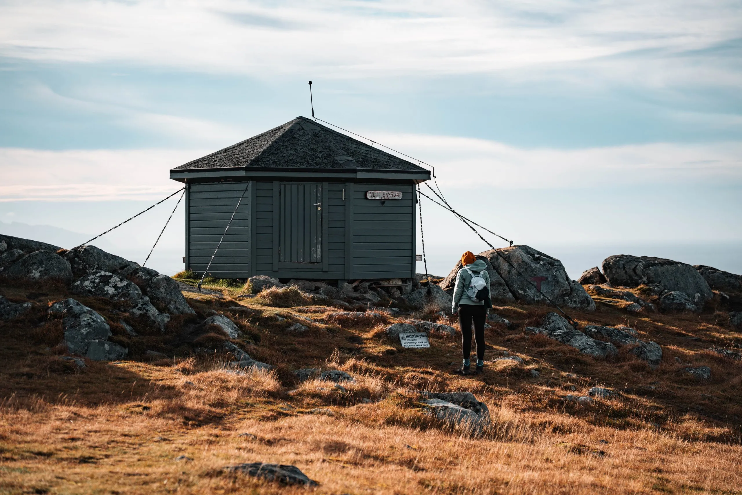
Langøya, Vesterålen Skårvågsfjellet 4.8 km · 405 m ↑ · 402 m From Steine near Bø up the 467-metre Vetten: Gravel track, grassy paths and a rocky summit with an open hut and a view to Lofoten, with map and GPX.
Our time We did not record our walking time
Langøya, Vesterålen Vetten 8.0 km · 446 m ↑ · 461 m Abisko National Park, Lapland · Arvidsjaur, Norrbotten · Brattfors, Strömsund municipality, Jämtland · Orsa, Dalarna · Orsa Finnmark, Gävleborg · Handöl, Åre Municipality, Jämtland · Lysekil, Bohuslän · Finspång, Östergötland · Brattbäcken, Strömsund Municipality, Jämtland · Tiveden, southern Sweden
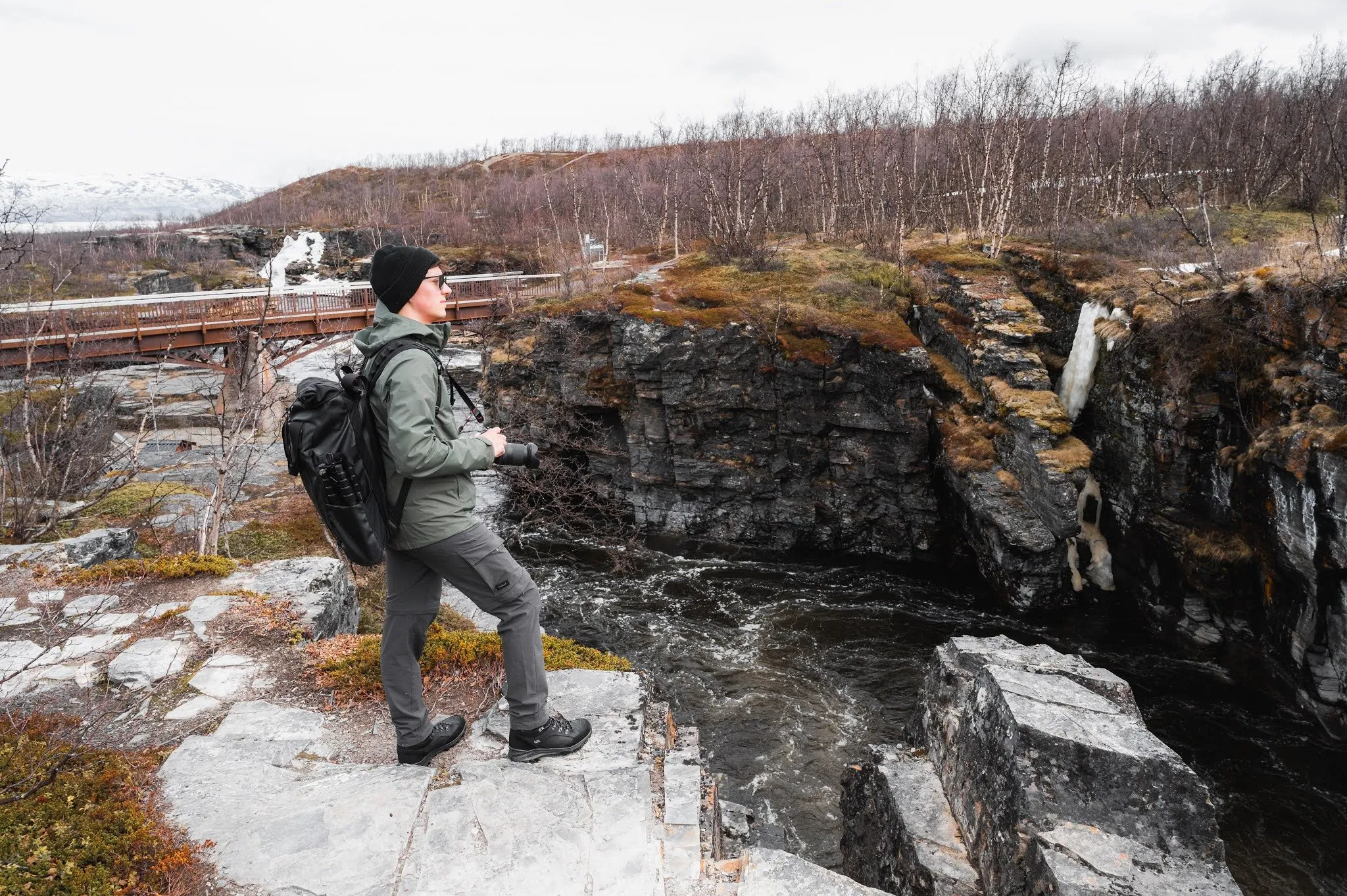
A short loop through the Abiskojåkka canyon by Naturum Abisko, over the bridge and back on the boardwalk, plus the start of the Kungsleden.
Our time Not recorded
Abisko National Park, Lapland Abisko: Abiskojåkka Canyon and the Kungsleden 1.8 km · 35 m ↑ · 382 m From the car park on Häggsjövägen along boardwalks across the Slengmyren bog to the light blue Grodkällan spring near Arvidsjaur. With map and GPX.
Our time Not recorded
Arvidsjaur, Norrbotten Along the boardwalks to the Grodkällan på Slengmyren spring 1.2 km · 17 m ↑ · 376 m Over a boardwalk to the rock painting of moose on the Vängelälven near Brattfors in Jämtland, then a stretch along the river by the rapids. With map and GPX.
Our time Not recorded
Brattfors, Strömsund municipality, Jämtland Brattfors: Boardwalk to the rock painting and along the river 0.5 km · 0 m ↑ · 245 m From the car park at the end of the gravel road down wooden stairs into the reddish-brown gorge of the Helvetesfallet near Orsa. With map and GPX.
Our time Not recorded
Orsa, Dalarna Down into the gorge at the Helvetesfallet 0.5 km · 23 m ↑ · 344 m From the main entrance of Hamra National Park on two loops over boardwalks through the bog and old pine forest. With map and GPX.
Our time Not recorded
Orsa Finnmark, Gävleborg Hamra National Park, on boardwalks through the bog 5.6 km · 10 m ↑ · 420 m From Hanriis Café in Handöl across the swaying suspension bridge over the Handölsforsen and up the west bank to the upper viewpoint. With map and GPX.
Our time Not recorded
Handöl, Åre Municipality, Jämtland Handölsforsen: Across the suspension bridge to the upper viewpoint 1.8 km · 66 m ↑ · 605 m A short path from the northern car park through the reddish granite of the nature reserve to the Stångehuvud headland in Lysekil. With map and GPX.
Our time Not recorded
Lysekil, Bohuslän On the path to the sea in the Stångehuvud nature reserve 1.4 km · 21 m ↑ · 14 m From the barrier on road 215 through dense spruce forest to the entrance of the disused Sätragruvan pyrite mine in Östergötland. With map and GPX.
Our time Not recorded
Finspång, Östergötland Through the forest to the Sätragruvan mine 1.1 km · 10 m ↑ · 71 m A short path through mossy spruce forest to the secluded Tvärfallet waterfall near Brattbäcken, northwest of Hoting, with map and GPX.
Our time Not recorded
Brattbäcken, Strömsund Municipality, Jämtland Through the forest to the Tvärfallet 0.2 km · 0 m ↑ · 325 m Through old forest and over boulders along the lakes of Tiveden National Park, on the purple-marked loop around Stora Trehörningen, with map and GPX.
Our time Not recorded. We only walked the beginning of the loop and back the same way.
Tiveden, southern Sweden Tiveden National Park, along the lakes 9.5 km · 151 m ↑ · 193 m Ulbster near Wick, Caithness · Stoer Head, Assynt, Sutherland · Lochaber, Highlands · Duncansby Head near John o' Groats, Caithness · Trotternish, Isle of Skye
Down the zigzag stairway of the Whaligoe Steps to the Bink at the old fishing harbour below the cliffs near Ulbster in Caithness. With map and GPX.
Our time Not recorded. We went almost all the way down to the sea.
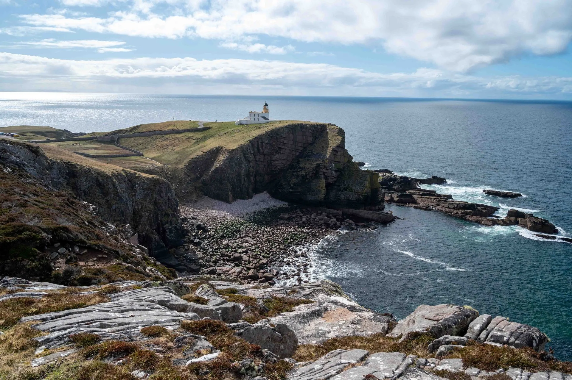
Ulbster near Wick, Caithness Down the Whaligoe Steps 0.5 km · 69 m ↑ · 72 m From the car park at Stoer Head Lighthouse along the clifftop path north to just short of the Old Man of Stoer sea stack in Assynt, with map and GPX.
Our time Not recorded. We turned back before the Old Man because of the mud, our post does not say where.
Stoer Head, Assynt, Sutherland From Stoer Head Lighthouse towards the Old Man of Stoer 6.2 km · 255 m ↑ · 110 m From the visitor centre in Glenfinnan to the monument on Loch Shiel, under the arches of the viaduct and up to the view over loch and viaduct, with map and GPX.
Our time Not recorded. We spent the whole day there
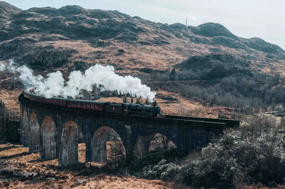
Lochaber, Highlands Glenfinnan: Viaduct Viewpoint and Loch Shiel 3.7 km · 100 m ↑ · 84 m From the car park by the lighthouse over the top of Duncansby Head and past the Geo of Sclaites to above the Stacks of Duncansby. With map and GPX.
Our time Not recorded. Nor does our post say how far we went.
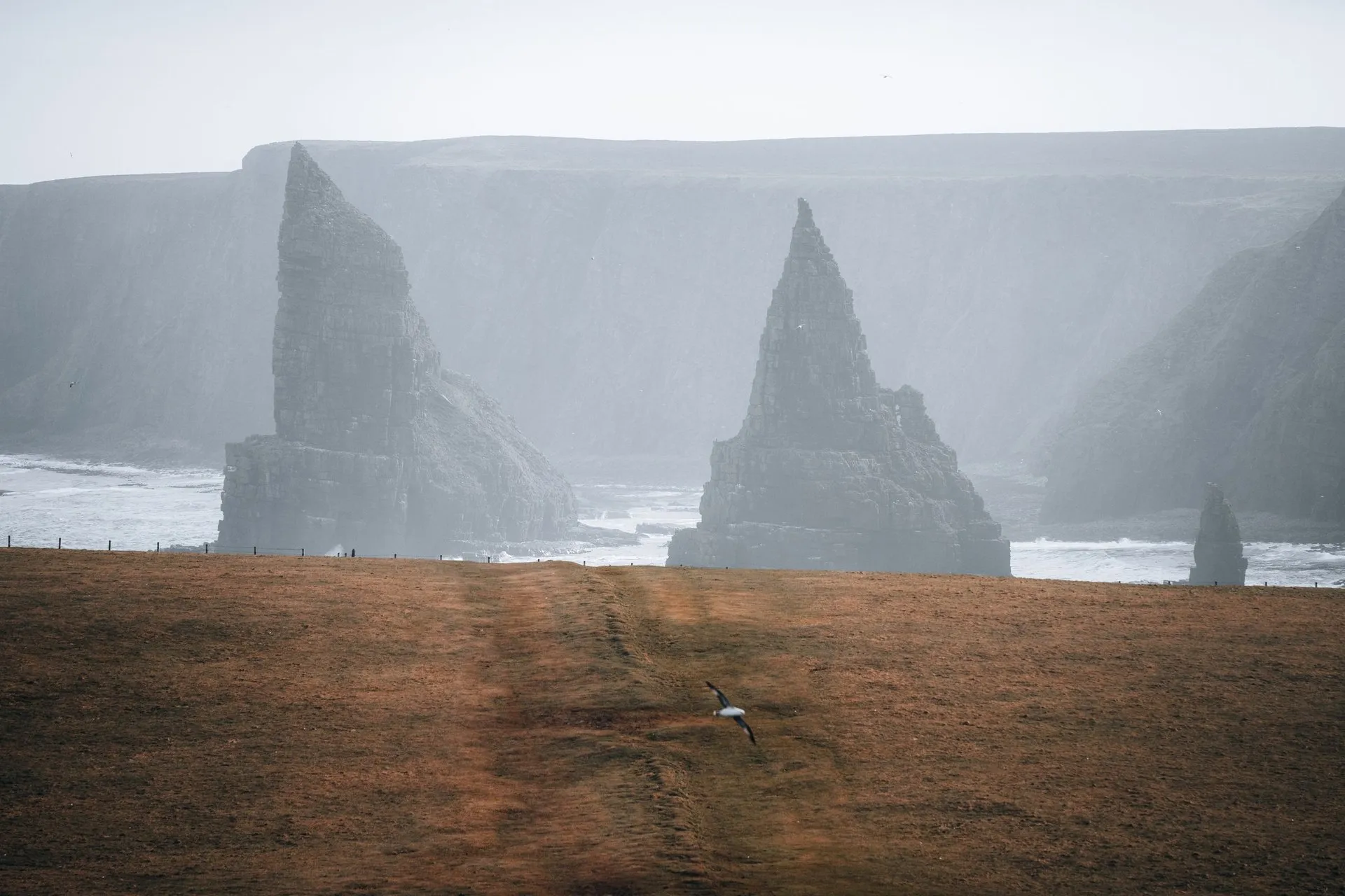
Duncansby Head near John o' Groats, Caithness On the clifftop path to the Duncansby Stacks 3.9 km · 145 m ↑ · 56 m From the car park on the A855 up to the pinnacles of the Storr on the Isle of Skye and behind the Old Man to the col, with map and GPX.
Our time Not recorded
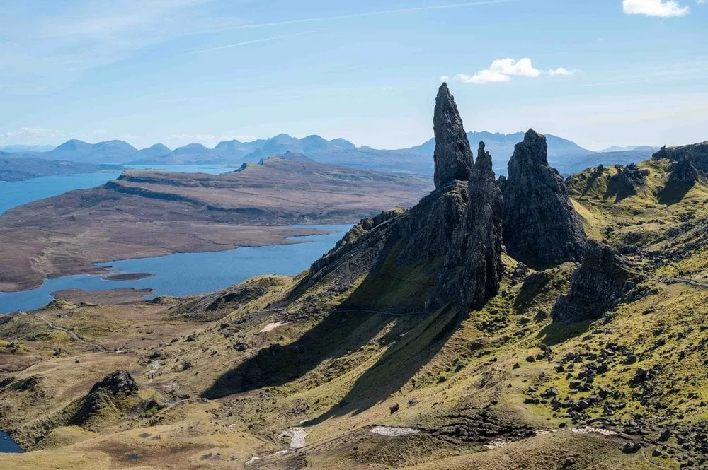
Trotternish, Isle of Skye To the Old Man of Storr 4.7 km · 321 m ↑ · 492 m Jungfrau-Aletsch, Valais · Albula Valley, Graubünden · Val da Camp, Valposchiavo · Entlebuch, Lucerne
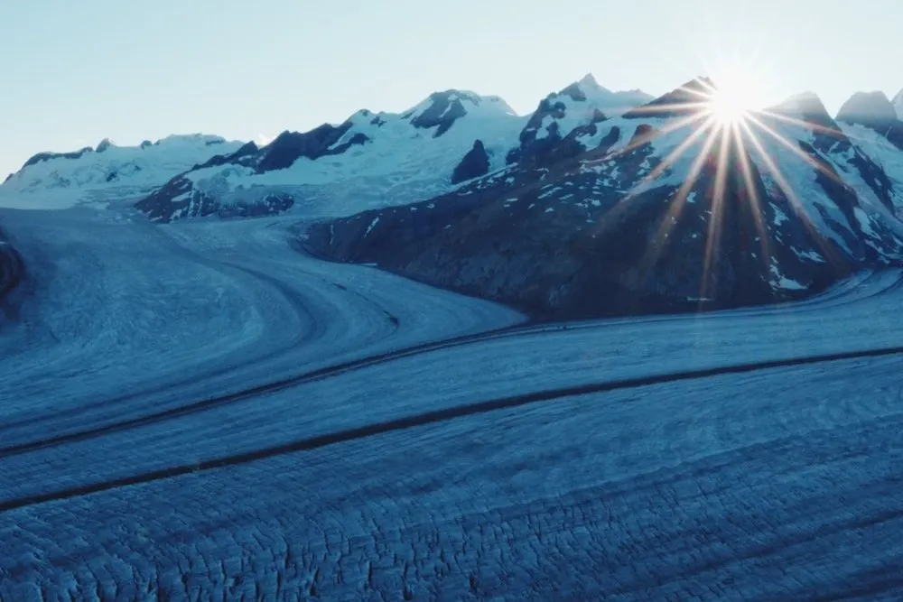
Two days roped up across the Great Aletsch Glacier: From the Jungfraujoch to the Konkordia Hut and on to Märjelensee and Fiescheralp.
Our time Day 1 about 3 h 30 to 4 h, day 2 about 3 h to Märjelensee
Jungfrau-Aletsch, Valais Across the Aletsch Glacier 3,454 m · 2 days Mountaineering tour From Bergün station on the Albula Railway Adventure Trail along the viaducts to Preda and on to Lai da Palpuogna, with map and GPX.
Our time From Bergün station shortly after 11 am, at the lake shortly before half past two, with breaks at the fitness trail and for photos of the trains. After our loop via Crap Alv we were back at Preda station shortly after four.
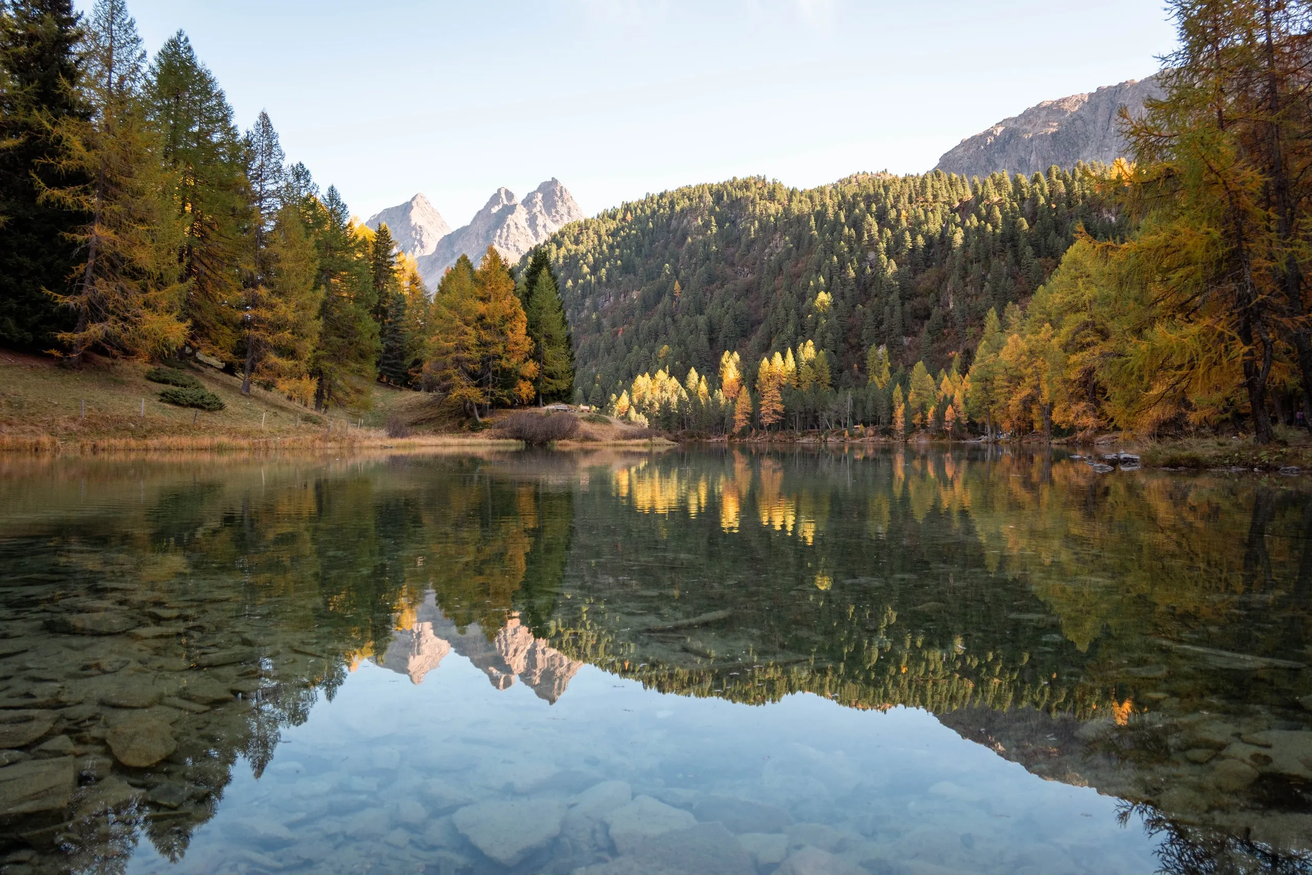
Albula Valley, Graubünden From Bergün via Preda to Lai da Palpuogna 13.2 km · 722 m ↑ · 2,043 m Two days in the Val da Camp: From Sfazù to Lagh da Saoseo and Rifugio Saoseo, on the long path to Lagh da Val Viola and back via Alp Camp.
Our time Day 1 from Sfazù at 11 am, we did not record the walking time to Lagh da Saoseo. Day 2 about 15 minutes from the hut to Lagh da Saoseo and an hour and a half on the long path to Lagh da Val Viola, we did not record the way back.
Val da Camp, Valposchiavo From Sfazù to Lagh da Saoseo and Lagh da Val Viola 17.5 km · 878 m ↑ · 2,266 m From the valley station in Sörenberg on foot past the Eisee to the Brienzer Rothorn, with a swim in the lake and the gondola back, with map and GPX.
Our time Not recorded
Entlebuch, Lucerne From Sörenberg past the Eisee up to the Brienzer Rothorn 6.3 km · 1,119 m ↑ · 2,348 m Posio, Lapland · Oulanka National Park, Kuusamo
Twice in February at -25 °C up Riisitunturi near Posio: The Riisin rääpäsy loop to the snow-covered spruces of the plateau, with map and GPX.
Our time Not recorded
Posio, Lapland Riisitunturi in winter 4.6 km · 114 m ↑ · 454 m In February through powder snow from Juuma car park to the old Myllykoski mill on the Kitkajoki, with suspension bridges and icy stairs. With map and GPX.
Our time Not recorded
Oulanka National Park, Kuusamo Winter hike to the Myllykoski mill 3.3 km · 56 m ↑ · 249 m No hike matches this filter.
This sends your IP address to the OpenStreetMap Foundation. You can change it any time in the .
Distance, ascent and elevation profile are counted from the track: Paths from OpenStreetMap, heights from the national terrain models of Kartverket and swisstopo, elsewhere from EU-DEM and SRTM. The walking times are our own. There is no track across glaciers, so we only show the waypoints there.