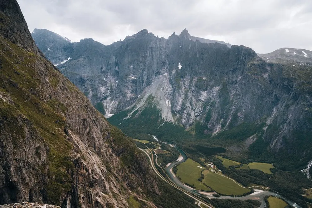
Litlefjellet is a small viewpoint mountain at the head of Vengedalen in Rauma municipality, in the mountains above Isfjorden. We walked up on 25 August 2022, in the evening. In the morning we had hiked in Innerdalen, then we drove along fjords to Isfjorden, where we had a bungalow at the campground.
We check in, bring our luggage to the bungalow and set off again right away. A lonely, winding road leads us up the mountains to the car park. According to ut.no you follow the signs for Liabygda and Venjedalen from Isfjorden. After the Venjesdalssetra summer farm, according to ut.no and Fjord Norway, the road turns to gravel and climbs steeply. The start is about one kilometre past the lake Vengedalsvatnet. The road through Vengedalen is a toll road, and according to ut.no you pay by card. Geiranger Guide gives 100 kroner and about 9 km of gravel road up to the summer farm and Vengedalsvatnet. According to ut.no no public transport runs into the valley, so you need a car.
Our track starts at the hikers’ car park by the trail map board. According to OpenStreetMap this is where the marked trail up Litlefjellet begins. According to Outdooractive the trail is well worn, rocky and earthy. On our track the trail first climbs west from the board, then bends south and reaches the ridge at about 760 m. On the ridge it continues north, across a small dip to the summit. According to Trollstigen Resort the trail is well marked.
The hike is considered easy by Norwegian standards, but a bit of scrambling is part of it. The DNT, on the other hand, grades it on ut.no as «Middels krevende», which is blue, and so does Fjord Norway. According to Fjord Norway there are cliffs dropping away on both sides of the ridge, and some stretches from the car park are steep and airy. In one spot a chain helps. According to Fjord Norway extra care is needed with children on the steep stretches and at the cliff edges.
We did not record our own walking time. You go there and back on the same trail. ut.no gives 1.7 km and 30 minutes, Fjord Norway also 1.7 km and 20 to 30 minutes from the car park to the top. Trollstigen Resort says 15 to 30 minutes, Geiranger Guide 20 to 30 minutes from the car park. For the ascent Fjord Norway, Trollstigen Resort and Geiranger Guide give about 140 metres. ut.no gives 250 metres, which matches no other source. Trollstigen Resort gives the summit height as 780 m, Fjord Norway as 790 m and Geiranger Guide as 800 m.
At the top we enjoy a beautiful view of a small lake and massive mountains. According to Trollstigen Resort there are several small mountain lakes up there, which reflect the peaks in clear weather. According to ut.no Litlefjellet looks out onto the Troll Wall and Trolltindene, Romsdalshorn and Vengetindene, down to Åndalsnes and onto Romsdalsfjorden. Fjord Norway also names the Rauma Railway in the valley below.
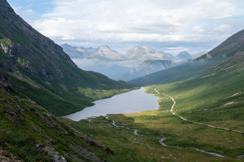
As usual in Norway, the weather changes very abruptly and it begins to drizzle. So we already start the descent. But just as quickly as the rain came, it disappears, and a rainbow forms over the small lake. In the evening we cook in our accommodation and look at the photos of the day.
According to ut.no the season runs from May to October, Fjord Norway names July to September as the best time. According to Fjord Norway the upper part of the road usually opens at the end of June and is not ploughed in winter. We were up there at the end of August.